Elevation of Co Rd, Elbert, CO, USA
Location: United States > Colorado > Elbert County > Elizabeth >
Longitude: -104.58816
Latitude: 39.2454301
Elevation: 2087m / 6847feet
Barometric Pressure: 79KPa
Elevation Map:
Satellite Map:
Related Photos:

Pike's Peak

243-foot "Bridge to Nowhere" on CO 83, c1946, 2003

Elizabeth,CO

Front Range View

Caprock - Recycled and Reused

Bartruff-Bihlmeyer Ranch

View From Trail

Squirrel eye view of the bridge

View from the Fire Tower

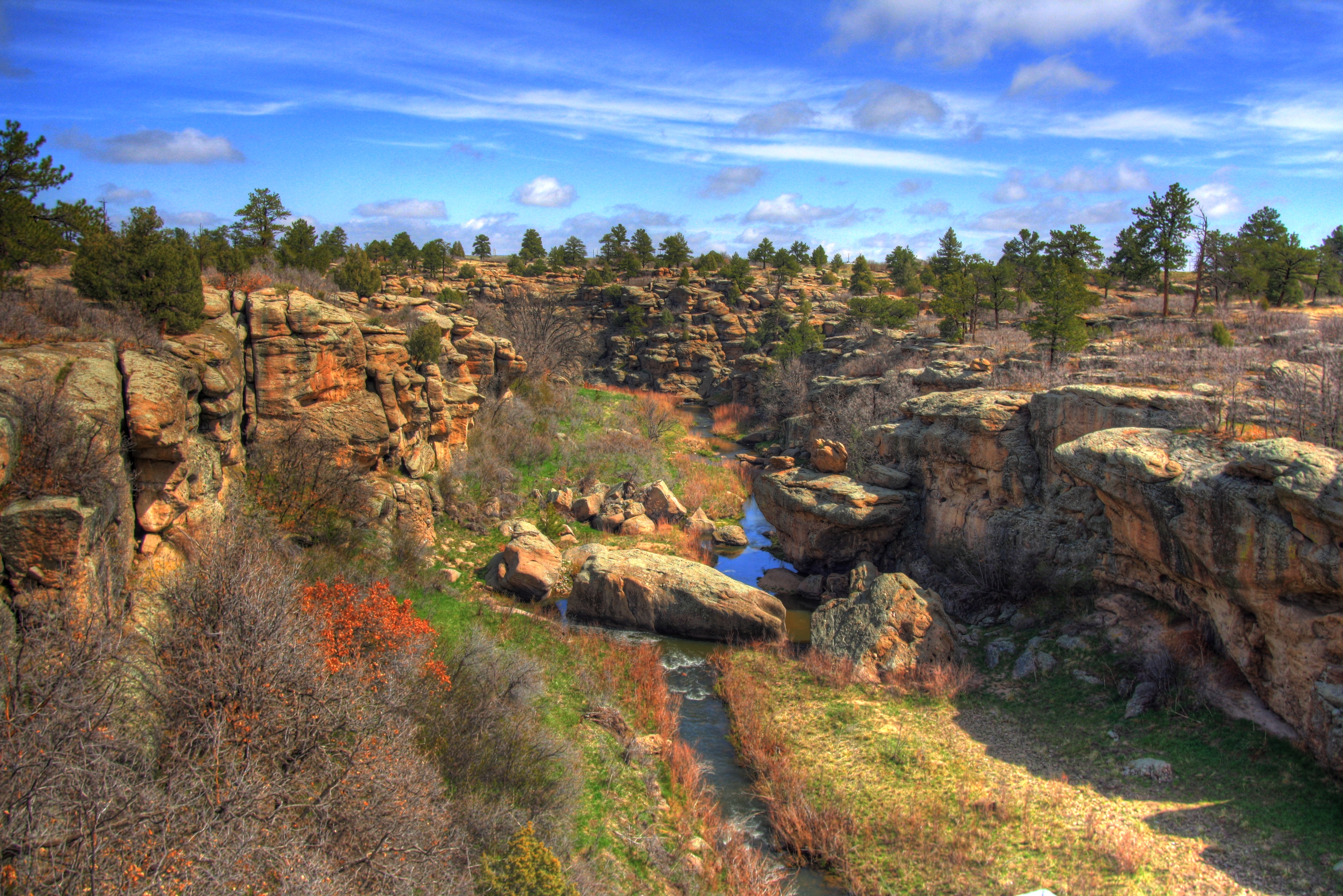
Castlewood Canyon

Cherry Creek

243-foot "Bridge to Nowhere" on CO 83, c1946, 2003

Caprock on the North Wall of the Canyon

Sculpted Caprock on the North Wall of the Canyon

Hanger Door - Outside view

Door - Inside View

Cherry Creek

Holey Caprock

Rocks upon Rocks

Petrified Grouper

2012-09-02 11.14.15

Elizabeth, CO

out of nowhere
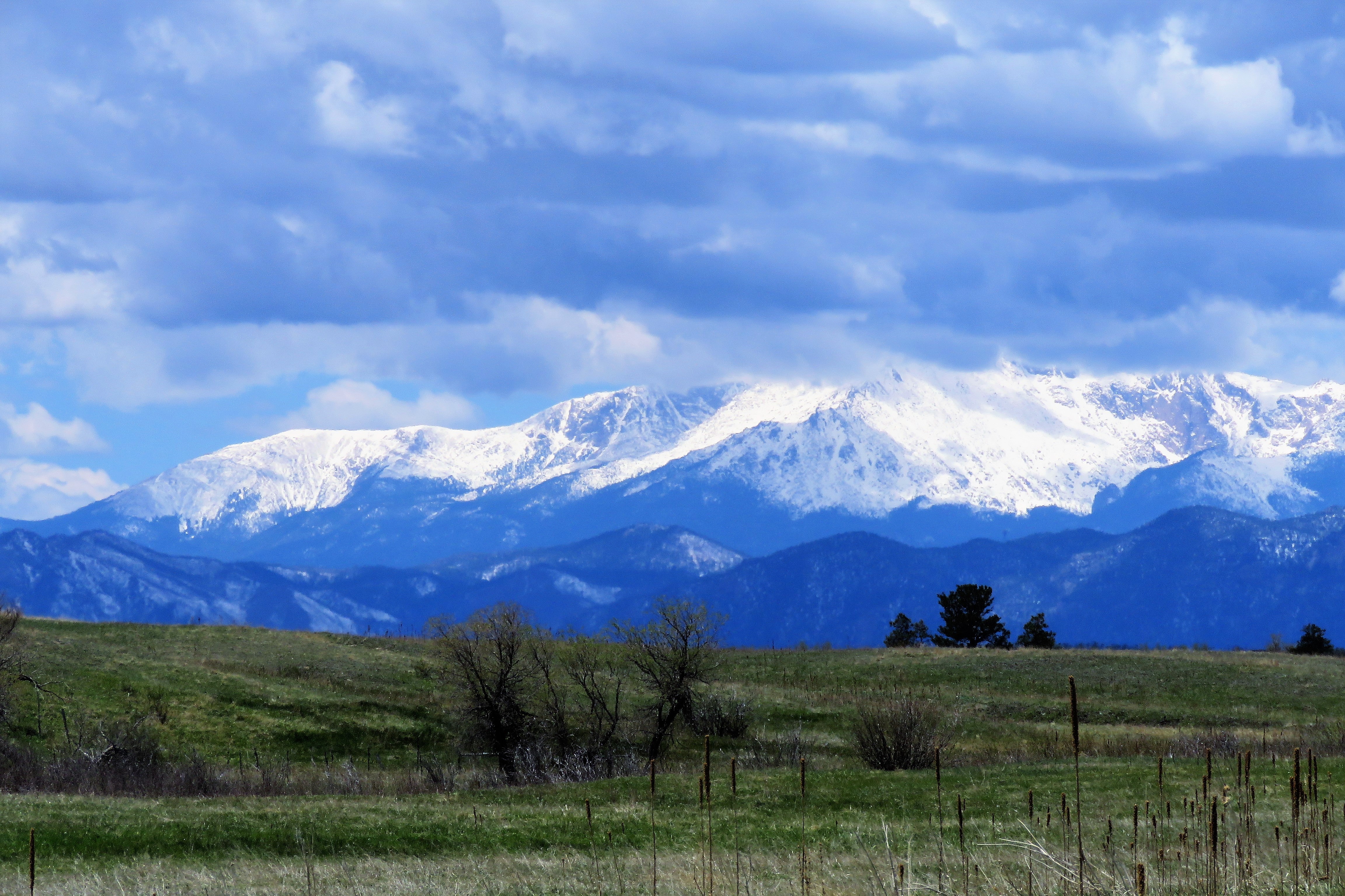
More Spring Snow in the Mountains

Castlewood Canyon State Park Colorado

The great #outdoors. #Colorado #fun

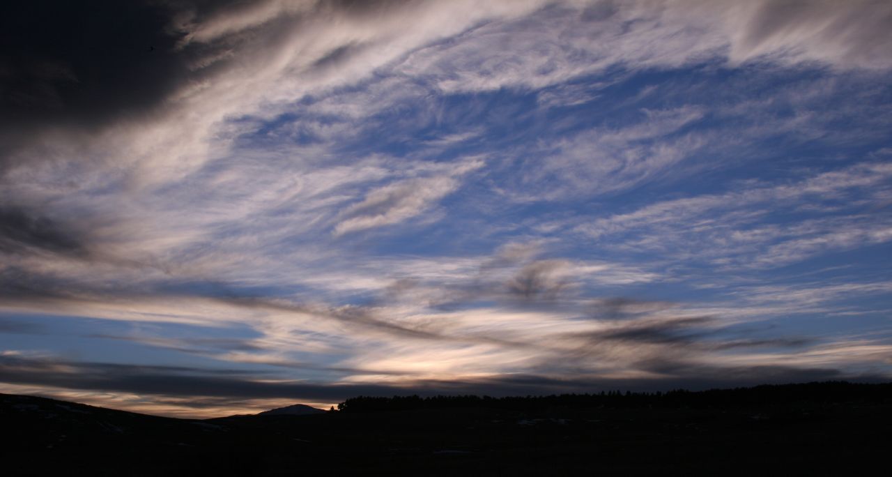
Sundown: Douglas County, Colorado (CO)

Cherry Creek Bridge

Windmill at Sunset: Douglas County, Colorado (CO)

Fall Colors

Castlewood Canyon

Pikes Peak

Pine Bokeh
Canyon 1

East Canyon
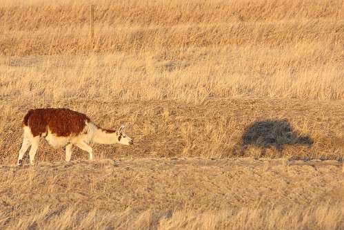
Me & my Shadow
Pikes Peak

Castlewood Canyon

Chilly afternoon stroll through the park
Topographic Map of Co Rd, Elbert, CO, USA
Find elevation by address:

Places near Co Rd, Elbert, CO, USA:
3302 Willownook Ranch Trail
N Elbert Rd, Elbert, CO, USA
Elbert
23856 Elbert St
Cave Spring Trail
Cave Spring Drive
31575 Co Rd 9
6507 Arrowhead Trail
32700 Co Rd 17/21
33488 Meadow Ln
7397 Pine Crest Dr
33946 Goldfinch Dr
Elizabeth
34404 Goldenrod Cir
3500 Buffalo Pond Trail
11567 E Broadview Dr
11720 Co-86
27598 Forest Ridge Dr
27614 E Broadview Dr
7770 Fox Glen Dr
Recent Searches:
- Elevation of Congressional Dr, Stevensville, MD, USA
- Elevation of Bellview Rd, McLean, VA, USA
- Elevation of Stage Island Rd, Chatham, MA, USA
- Elevation of Shibuya Scramble Crossing, 21 Udagawacho, Shibuya City, Tokyo -, Japan
- Elevation of Jadagoniai, Kaunas District Municipality, Lithuania
- Elevation of Pagonija rock, Kranto 7-oji g. 8"N, Kaunas, Lithuania
- Elevation of Co Rd 87, Jamestown, CO, USA
- Elevation of Tenjo, Cundinamarca, Colombia
- Elevation of Côte-des-Neiges, Montreal, QC H4A 3J6, Canada
- Elevation of Bobcat Dr, Helena, MT, USA