Elevation of N County Rd O, Whitehall, WI, USA
Location: United States > Wisconsin > Trempealeau County > Hale > Pleasantville >
Longitude: -91.305667
Latitude: 44.4526421
Elevation: 271m / 889feet
Barometric Pressure: 98KPa
Elevation Map:
Satellite Map:
Related Photos:

Liquid Mirror

Wisconsin, Jackson County (438)

Wisconsin Vista

Wisconsin Backroads

View from a Mole Trap
pics 048

Fuzzy Blanket

Hawkinson Creek Wet Prairie State Natural Area

Hawkinson Creek Wet Prairie State Natural Area

Sneezeweed (Helenium autumnale)

Sneezeweed (Helenium autumnale)

Borst Valley Sedge Meadow State Natural Area

Borst Valley Sedge Meadow State Natural Area

Borst Valley Sedge Meadow State Natural Area

abandoned farm

Chimney Rock Oak Savanna State Natural Area
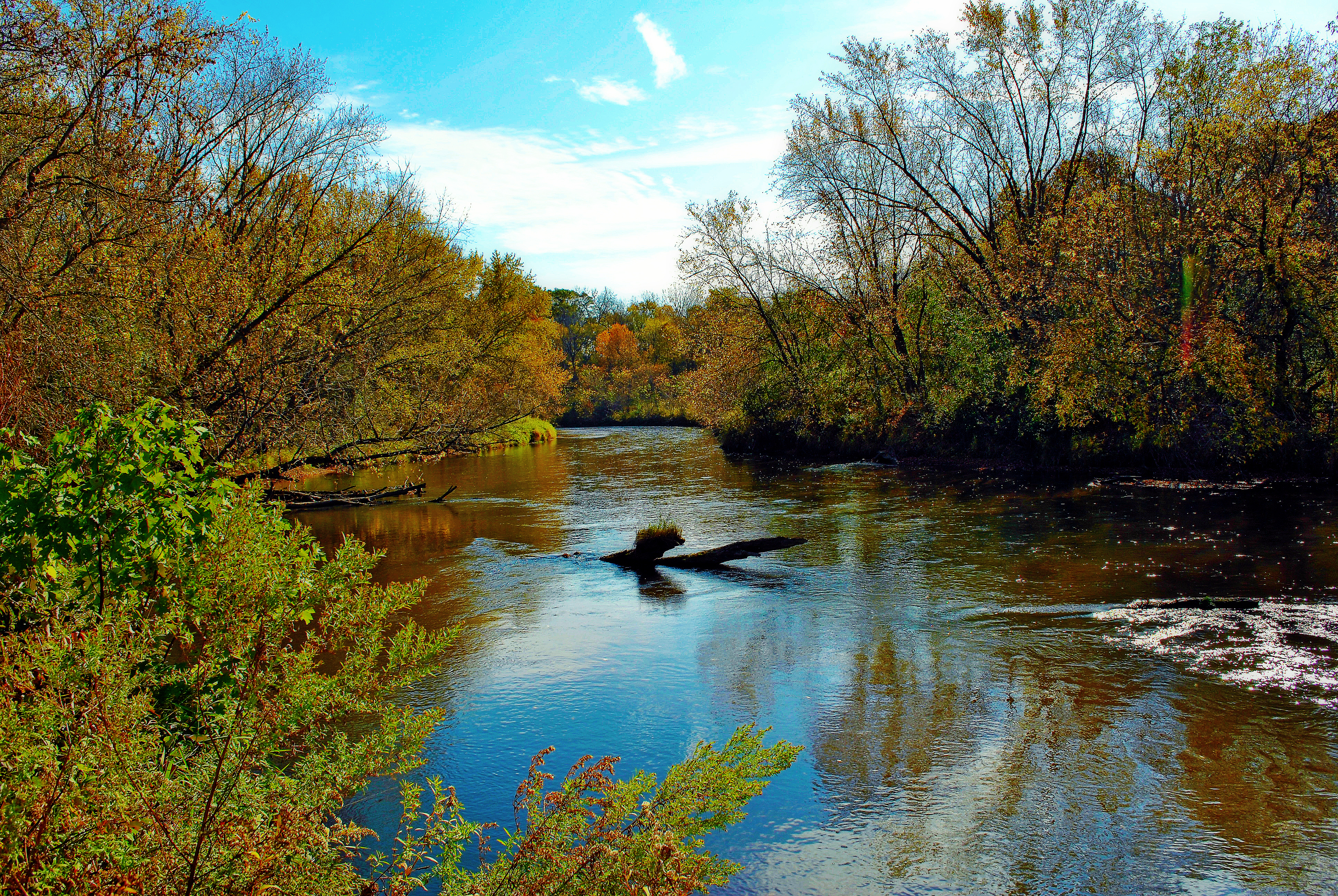
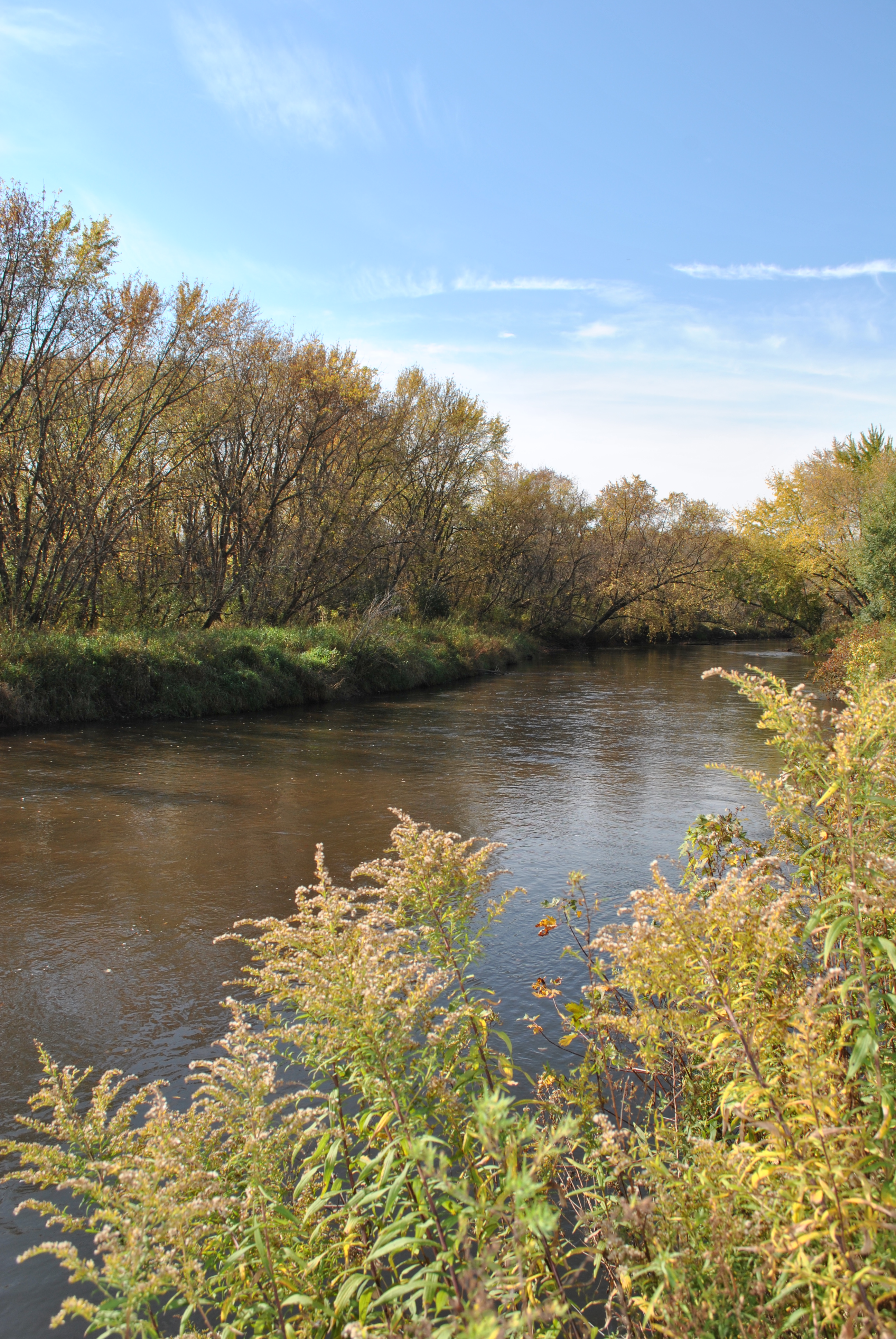
Trempealeau River, Independence, WI
Topographic Map of N County Rd O, Whitehall, WI, USA
Find elevation by address:

Places near N County Rd O, Whitehall, WI, USA:
Pleasantville
Hale
Whitehall
Main St, Whitehall, WI, USA
40285 Wi-93 Trunk
Clear Creek
S12750
S12938
Otter Creek
N12662 Rindahl Valley Rd
E12588
Garfield
Trempealeau County
S11060 N Martin Dr
E13930 Hillview Dr
Ettrick
West Ave, Ettrick, WI, USA
S8060
518 Hudson St
Washington
Recent Searches:
- Elevation of Congressional Dr, Stevensville, MD, USA
- Elevation of Bellview Rd, McLean, VA, USA
- Elevation of Stage Island Rd, Chatham, MA, USA
- Elevation of Shibuya Scramble Crossing, 21 Udagawacho, Shibuya City, Tokyo -, Japan
- Elevation of Jadagoniai, Kaunas District Municipality, Lithuania
- Elevation of Pagonija rock, Kranto 7-oji g. 8"N, Kaunas, Lithuania
- Elevation of Co Rd 87, Jamestown, CO, USA
- Elevation of Tenjo, Cundinamarca, Colombia
- Elevation of Côte-des-Neiges, Montreal, QC H4A 3J6, Canada
- Elevation of Bobcat Dr, Helena, MT, USA