Elevation of S US-12, Augusta, WI, USA
Location: United States > Wisconsin > Eau Claire County >
Longitude: -91.184929
Latitude: 44.716056
Elevation: 287m / 942feet
Barometric Pressure: 98KPa
Elevation Map:
Satellite Map:
Related Photos:
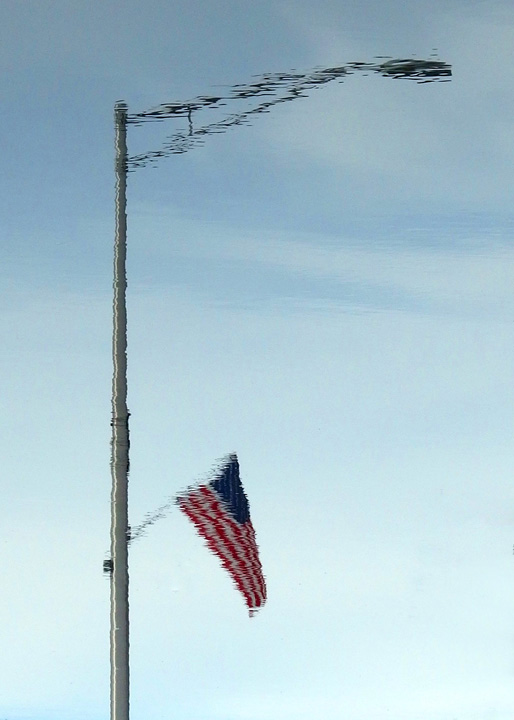
Liquid Mirror
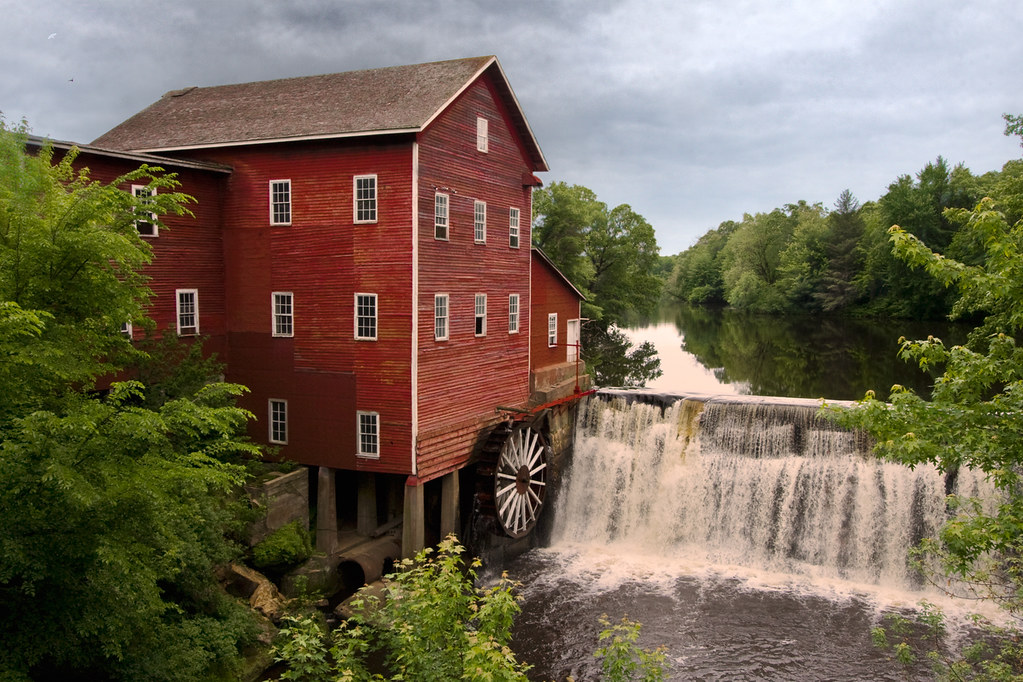
Dells Mill, Augusta WI
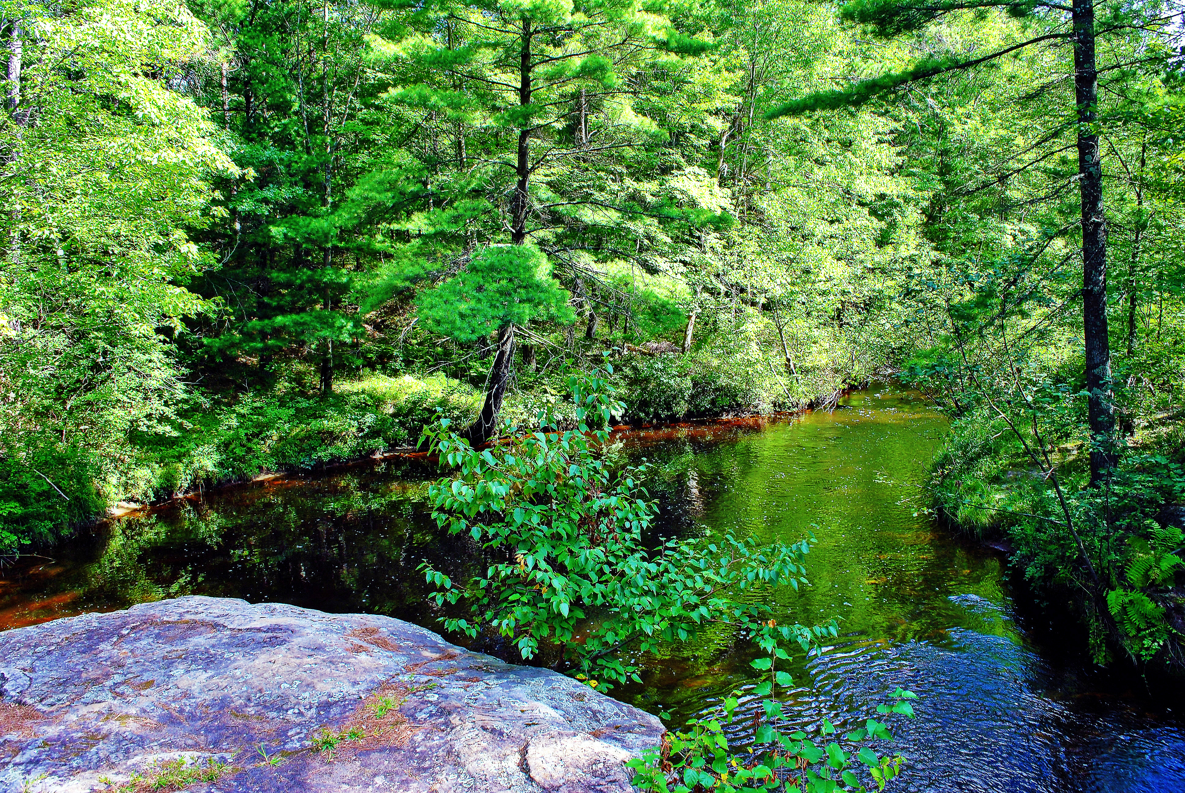
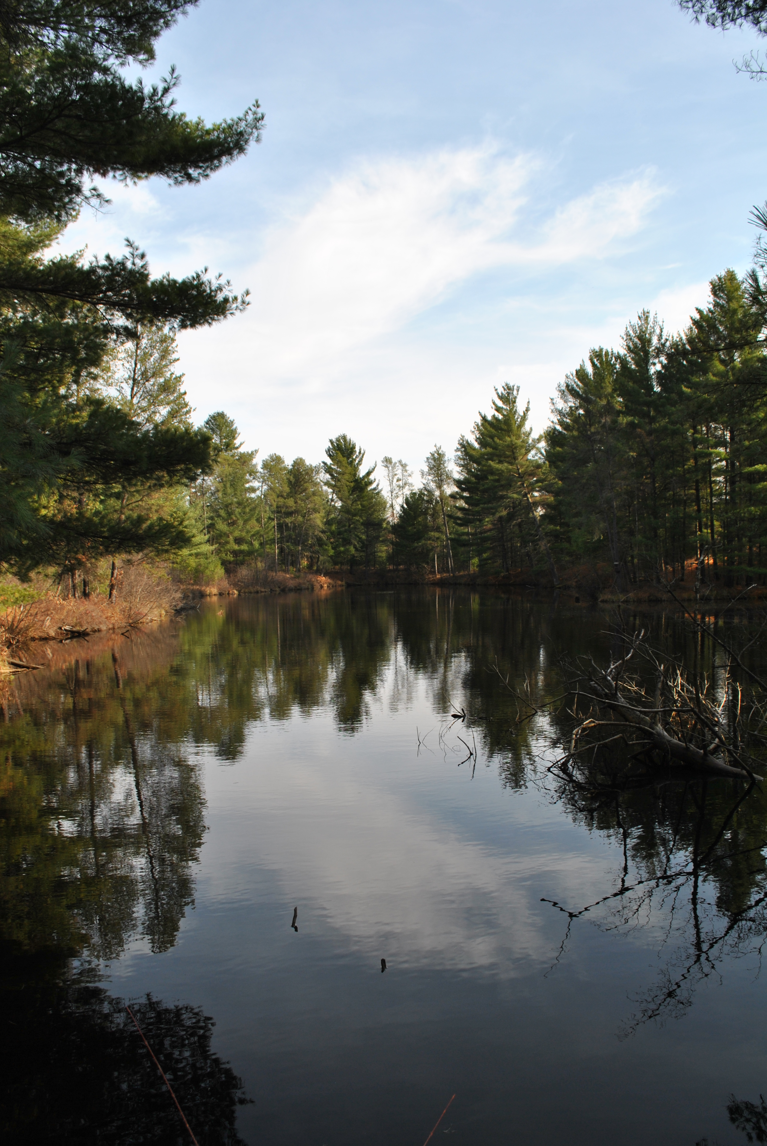
Coon Fork Creek, Eau Claire Co., WI
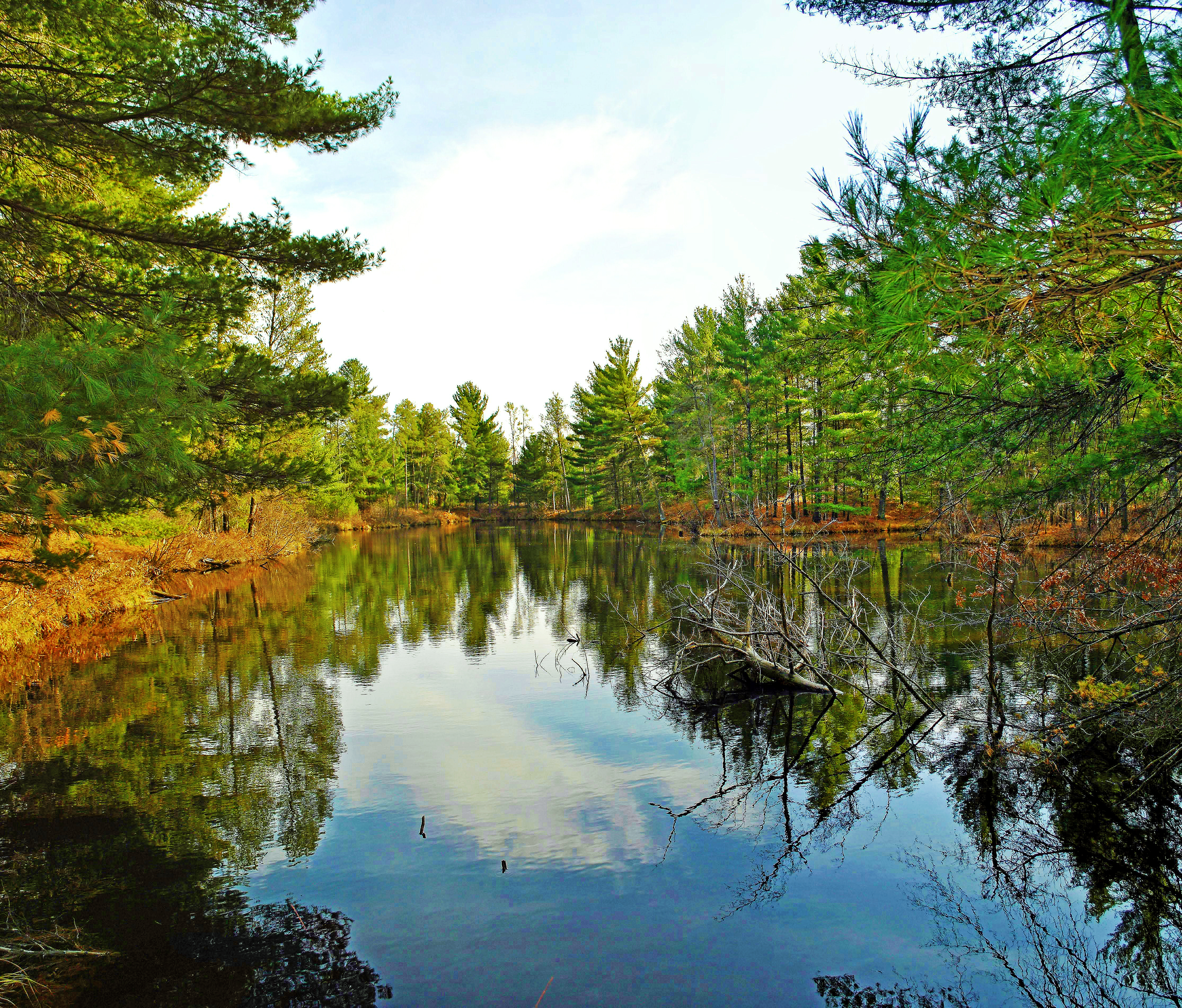
Coon Fork Lake Cove
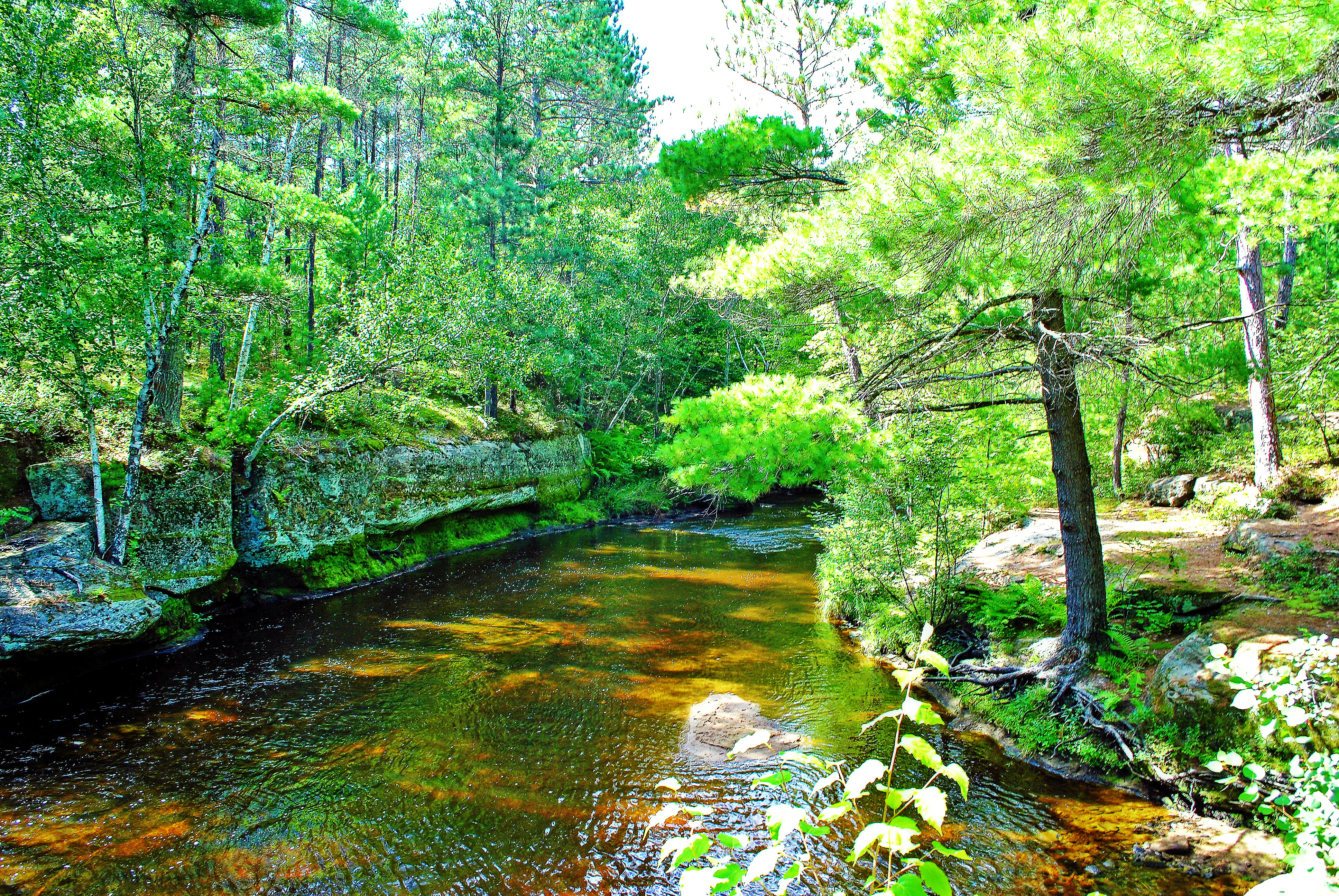
Coon Fork Creek, Eau Claire Co., WI
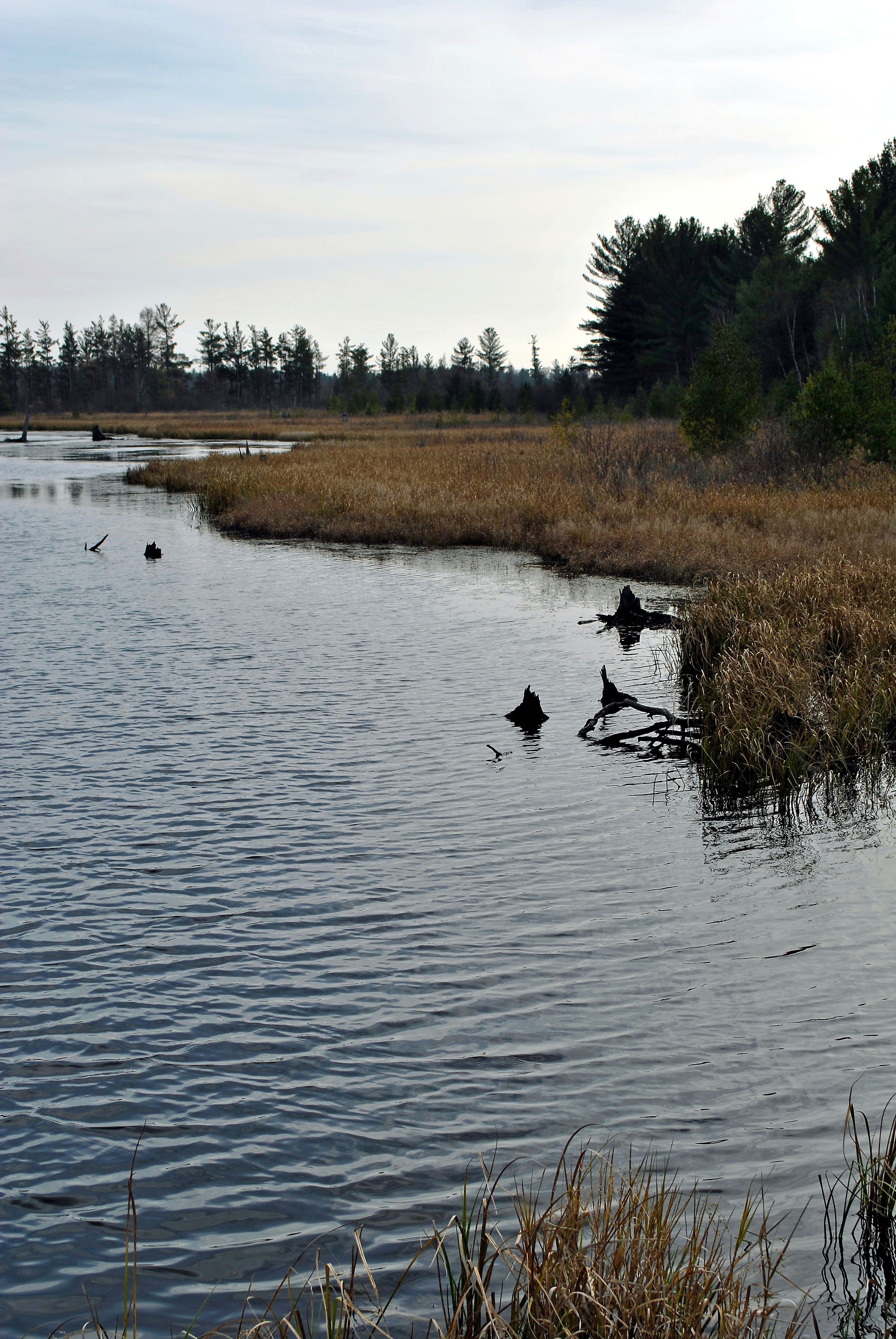
Pea Creek Flowage, Eau Claire County, WI

Dells Mill, Augusta WI
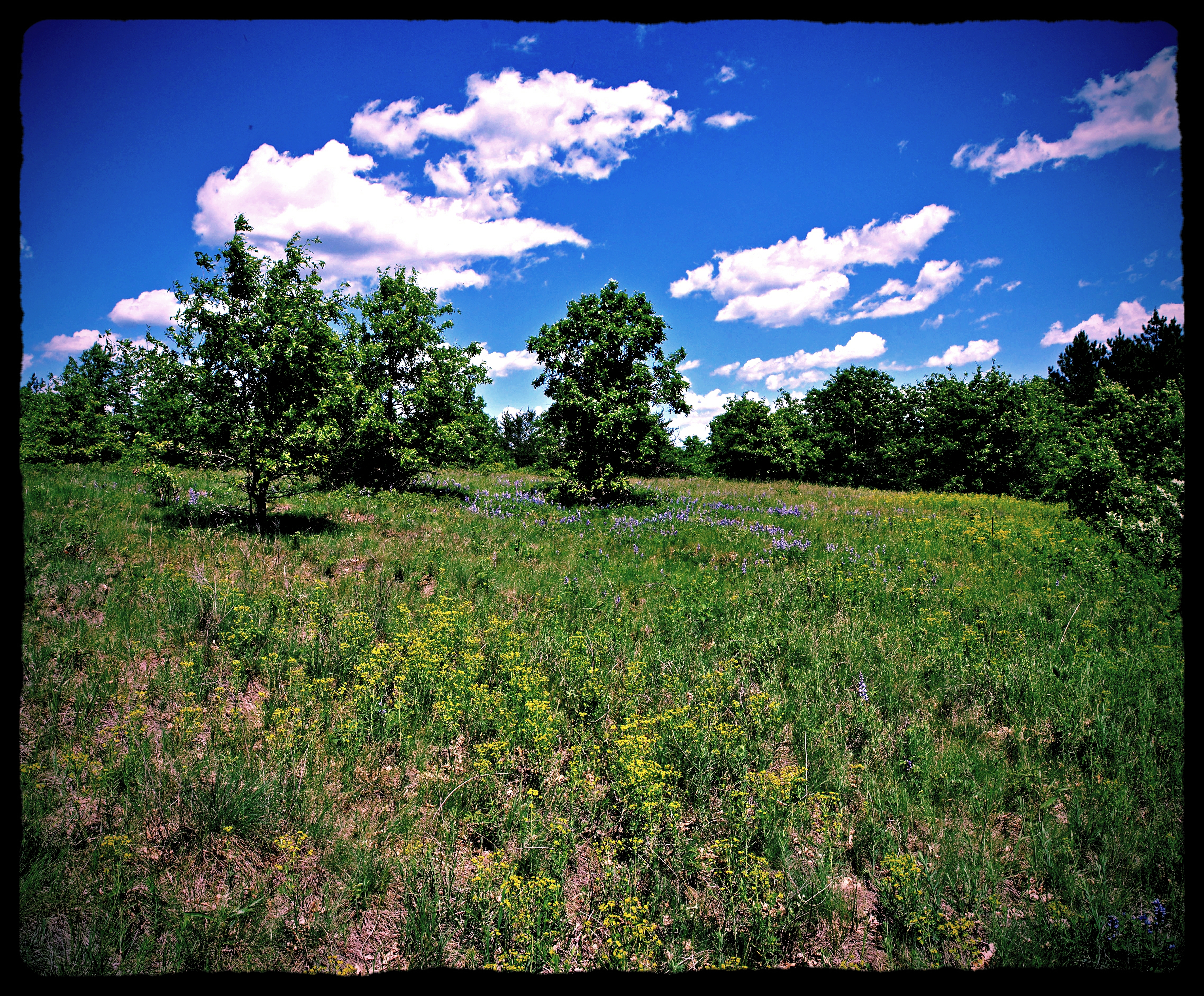
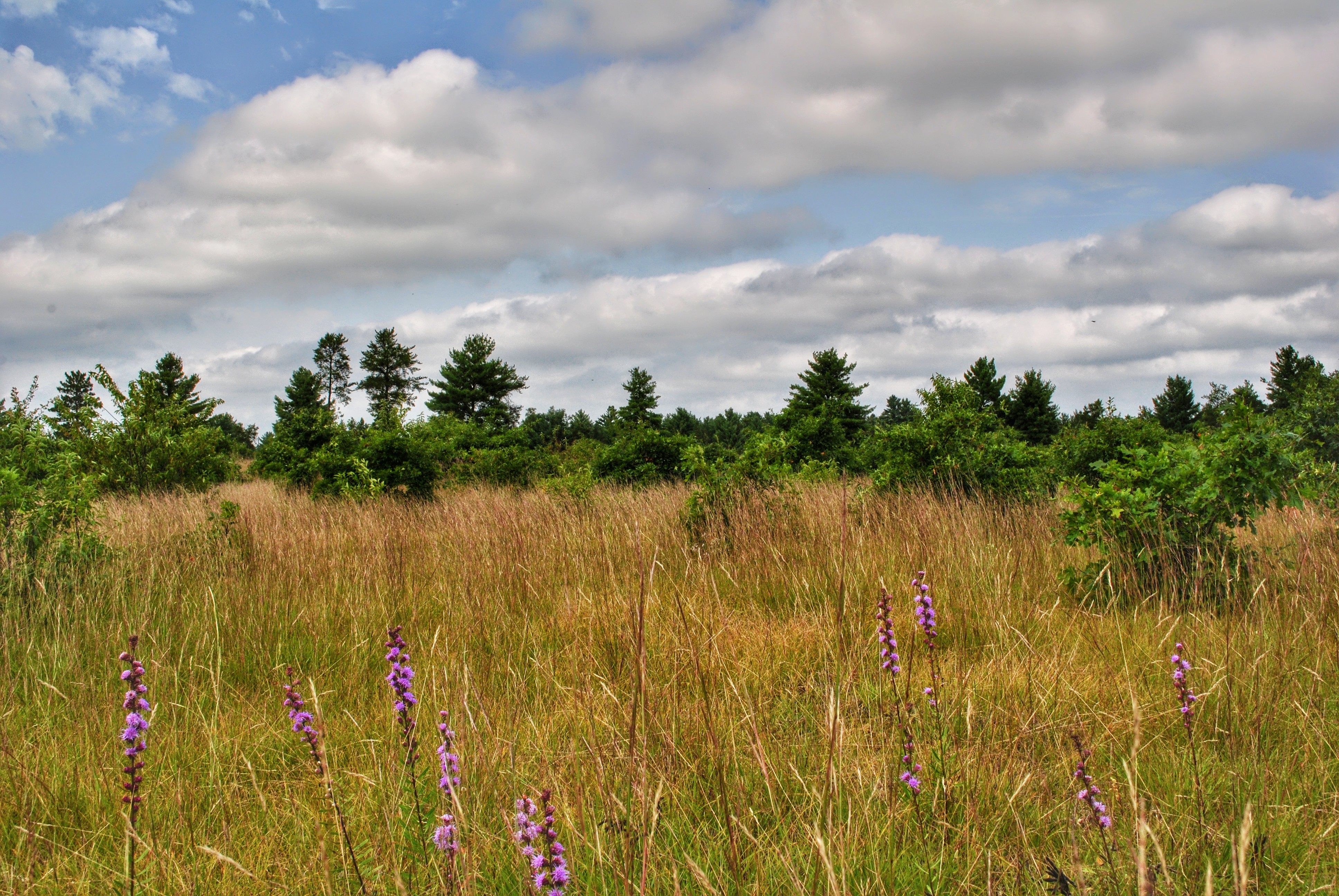
Canoe Landing Prairie State Natural Area
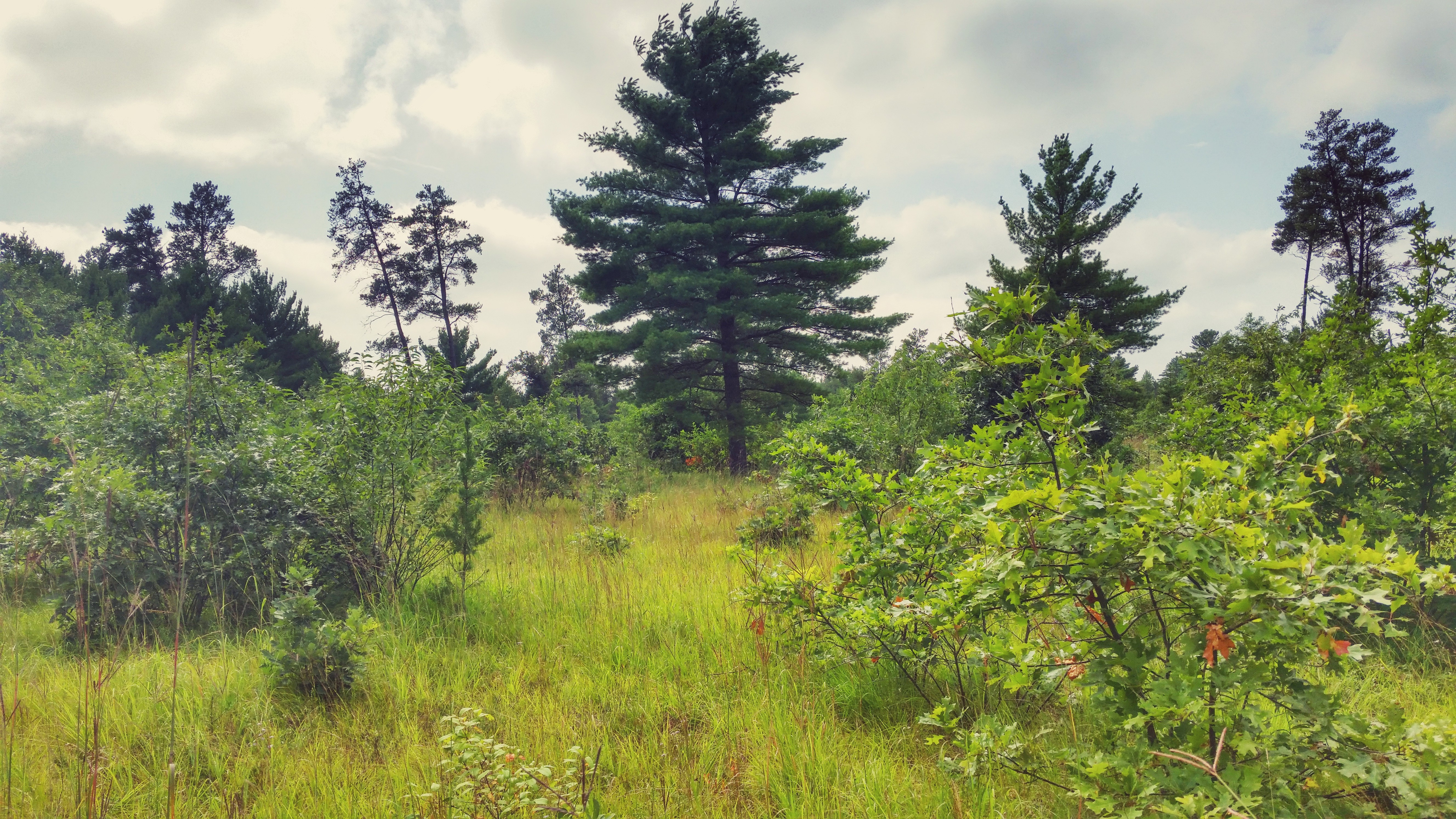
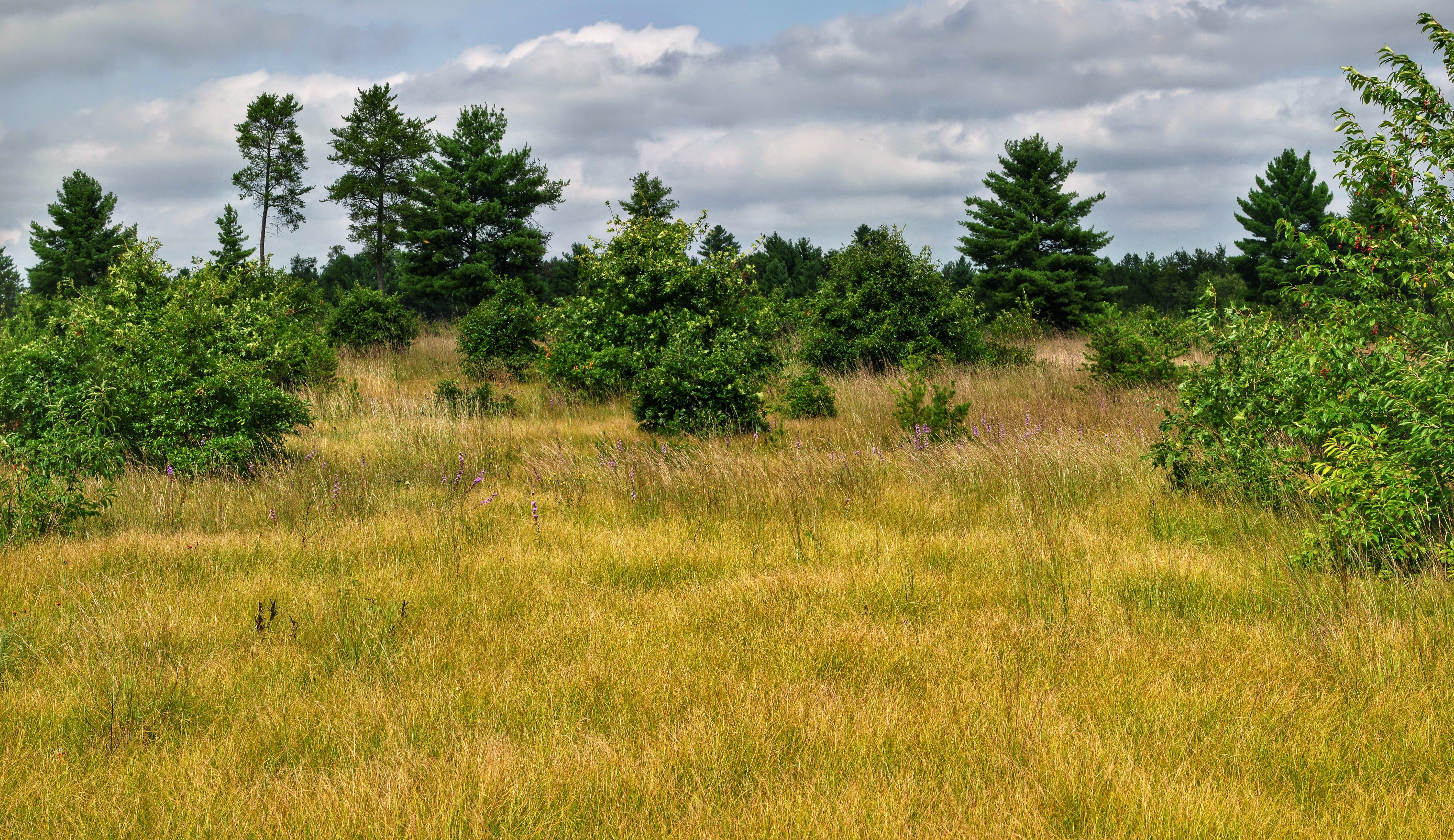
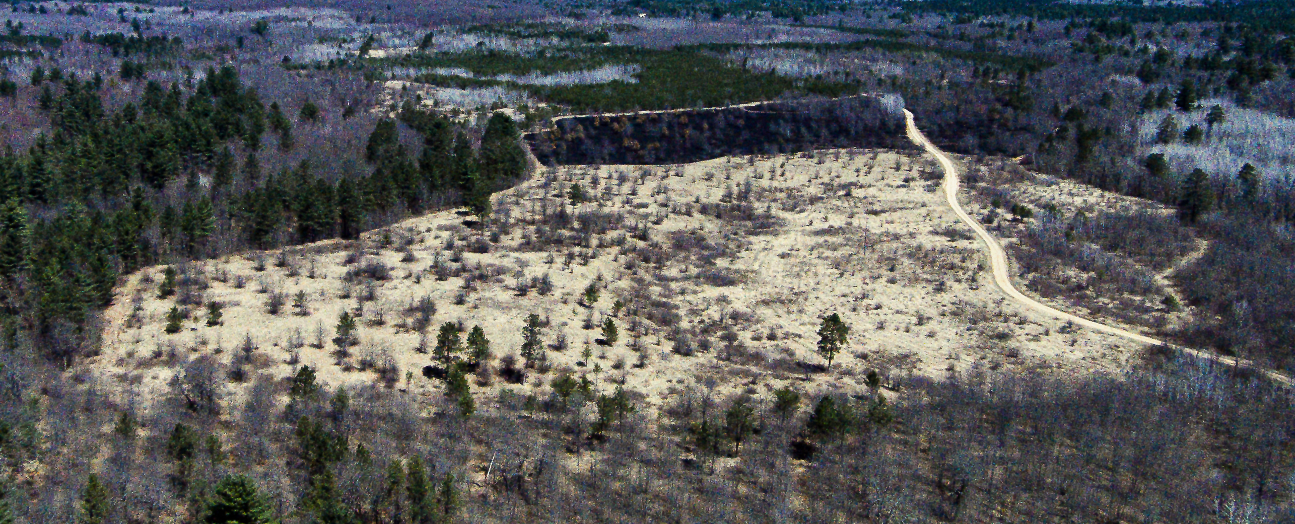
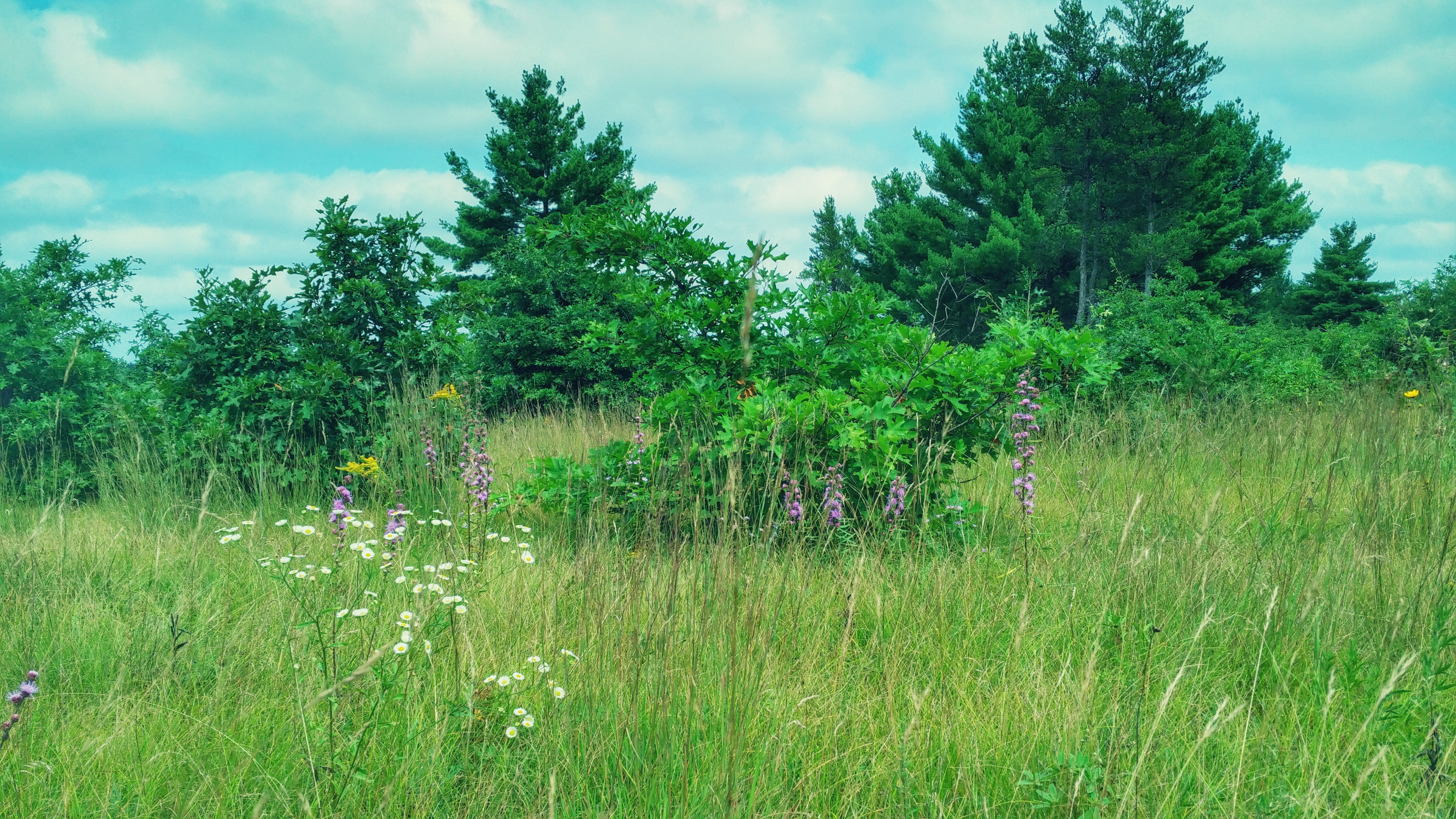
Coon Fork Barrens State Natural Area
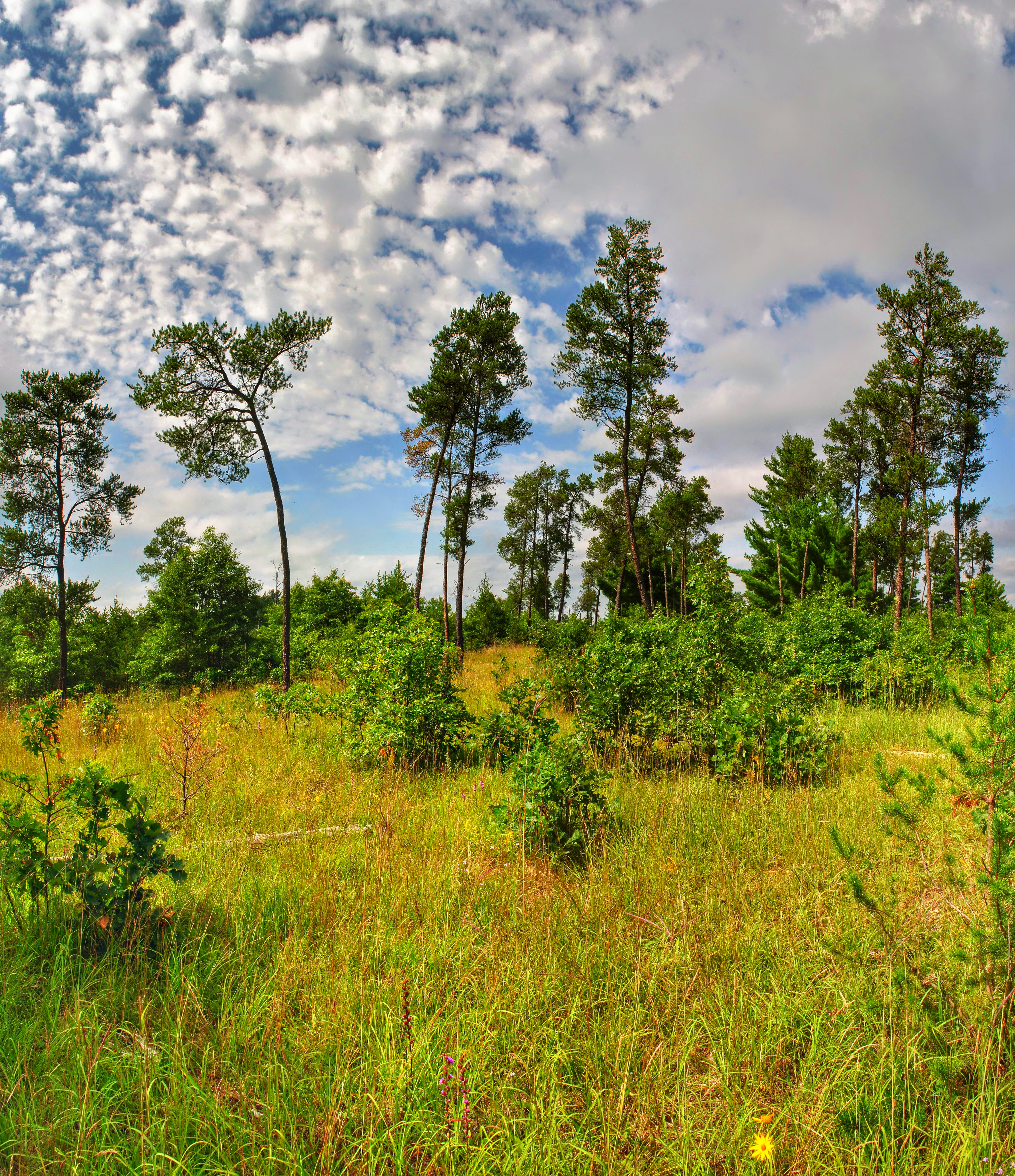
Coon Fork Barrens State Natural Area
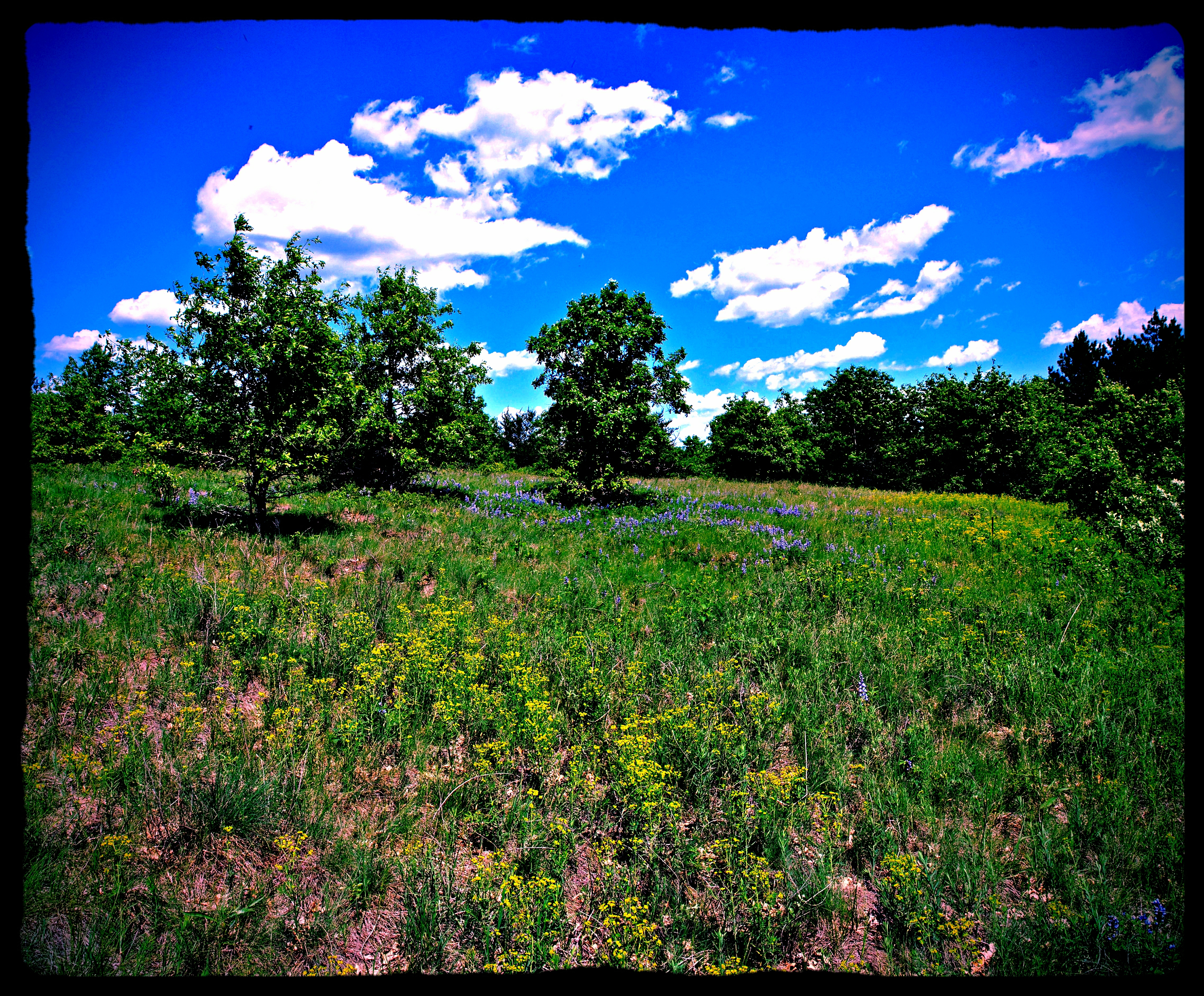
Canoe Landing Prairie State Natural Area

Karner Blue (Plebejus melissa subsp. samuelis)
Coon Fork Barrens State Natural Area

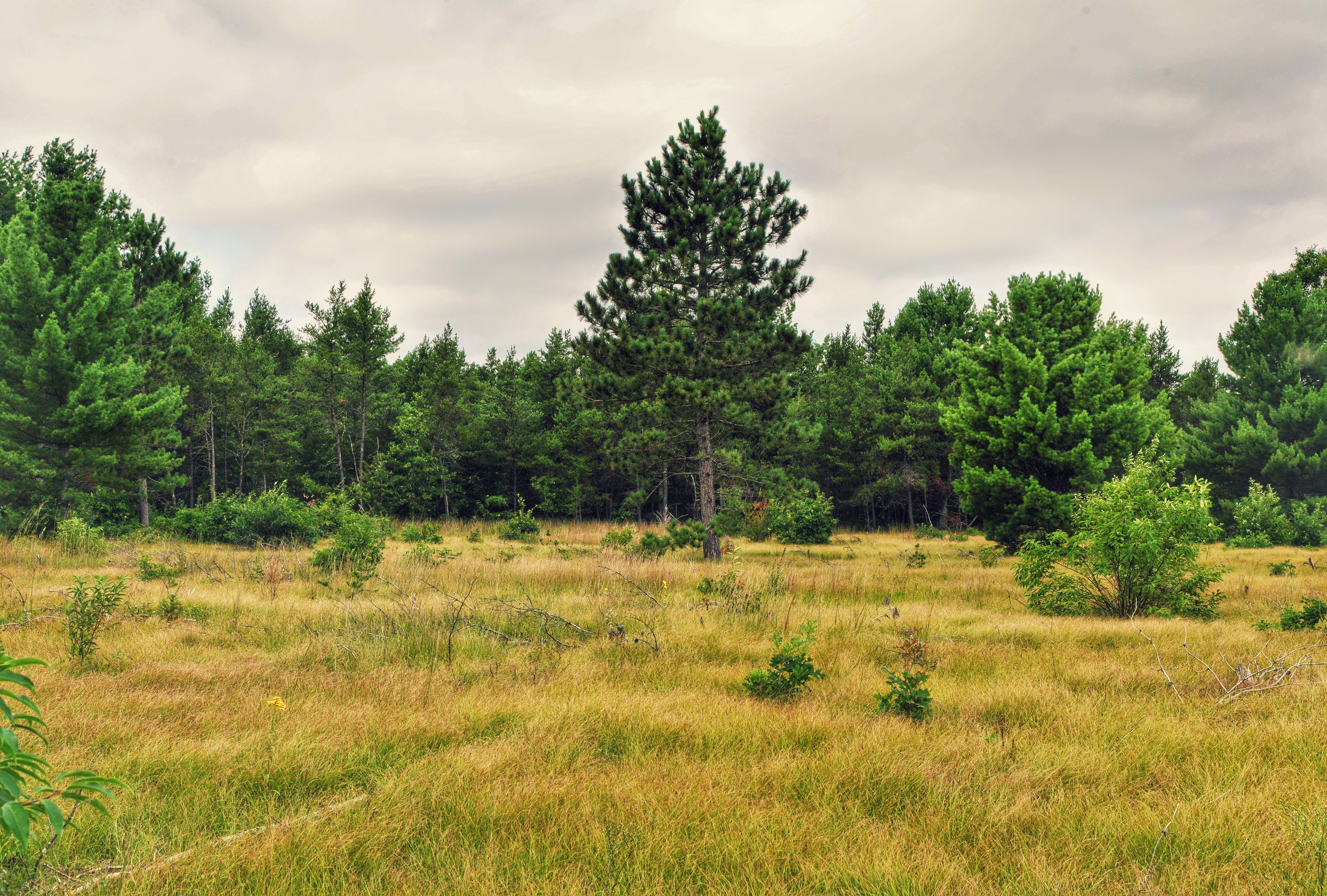
Coon Fork Barrens State Natural Area
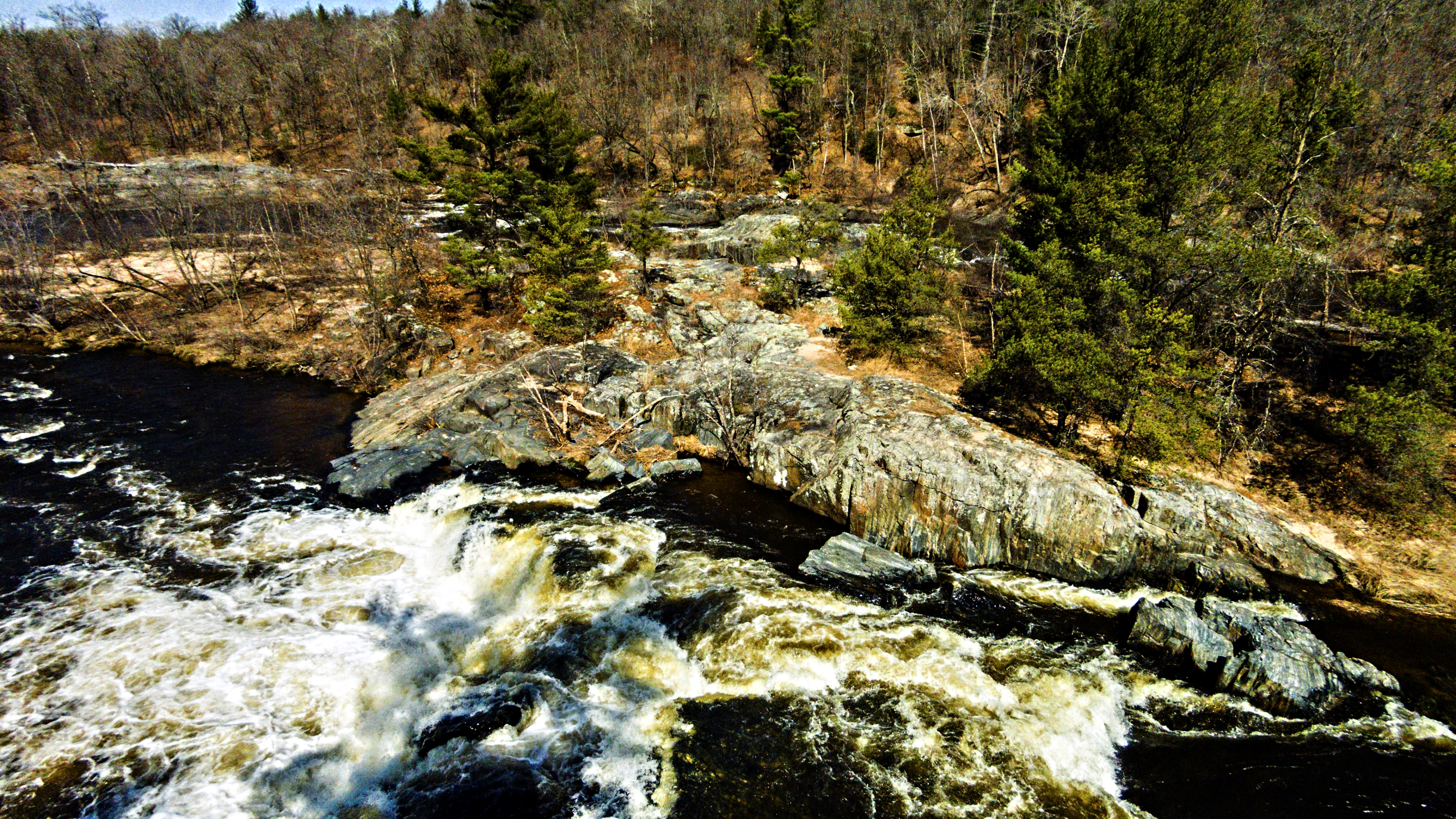
Big Falls, Eau Claire River
Coon Fork Barrens State Natural Area

Big Falls, Eau Claire River
Coon Fork Barrens State Natural Area
Canoe Landing Prairie State Natural Area
Coon Fork Lake Cove

Coon Fork Barrens State Natural Area
Coon Fork Barrens State Natural Area

Big Falls County Park_0001d
Topographic Map of S US-12, Augusta, WI, USA
Find elevation by address:

Places near S US-12, Augusta, WI, USA:
Lincoln
E13930 Hillview Dr
518 Hudson St
712 N Stone St
Otter Creek
Fall Creek
E12588
Eau Claire County
S12750
1423 250th St
Garfield
4320 Markgraff Rd
S12938
Clear Creek
Sigel
N12662 Rindahl Valley Rd
Washington
S11060 N Martin Dr
Cadott
N Main St, Cadott, WI, USA
Recent Searches:
- Elevation of Rojo Ct, Atascadero, CA, USA
- Elevation of Flagstaff Drive, Flagstaff Dr, North Carolina, USA
- Elevation of Avery Ln, Lakeland, FL, USA
- Elevation of Woolwine, VA, USA
- Elevation of Lumagwas Diversified Farmers Multi-Purpose Cooperative, Lumagwas, Adtuyon, RV32+MH7, Pangantucan, Bukidnon, Philippines
- Elevation of Homestead Ridge, New Braunfels, TX, USA
- Elevation of Orchard Road, Orchard Rd, Marlborough, NY, USA
- Elevation of 12 Hutchinson Woods Dr, Fletcher, NC, USA
- Elevation of Holloway Ave, San Francisco, CA, USA
- Elevation of Norfolk, NY, USA