Elevation of N Corbin Rd, Walker, LA, USA
Location: United States > Louisiana > Livingston Parish > > Walker >
Longitude: -90.817856
Latitude: 30.5883828
Elevation: 22m / 72feet
Barometric Pressure: 101KPa
Elevation Map:
Satellite Map:
Related Photos:

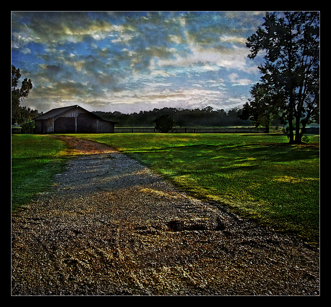
Barn Yard
Country Living

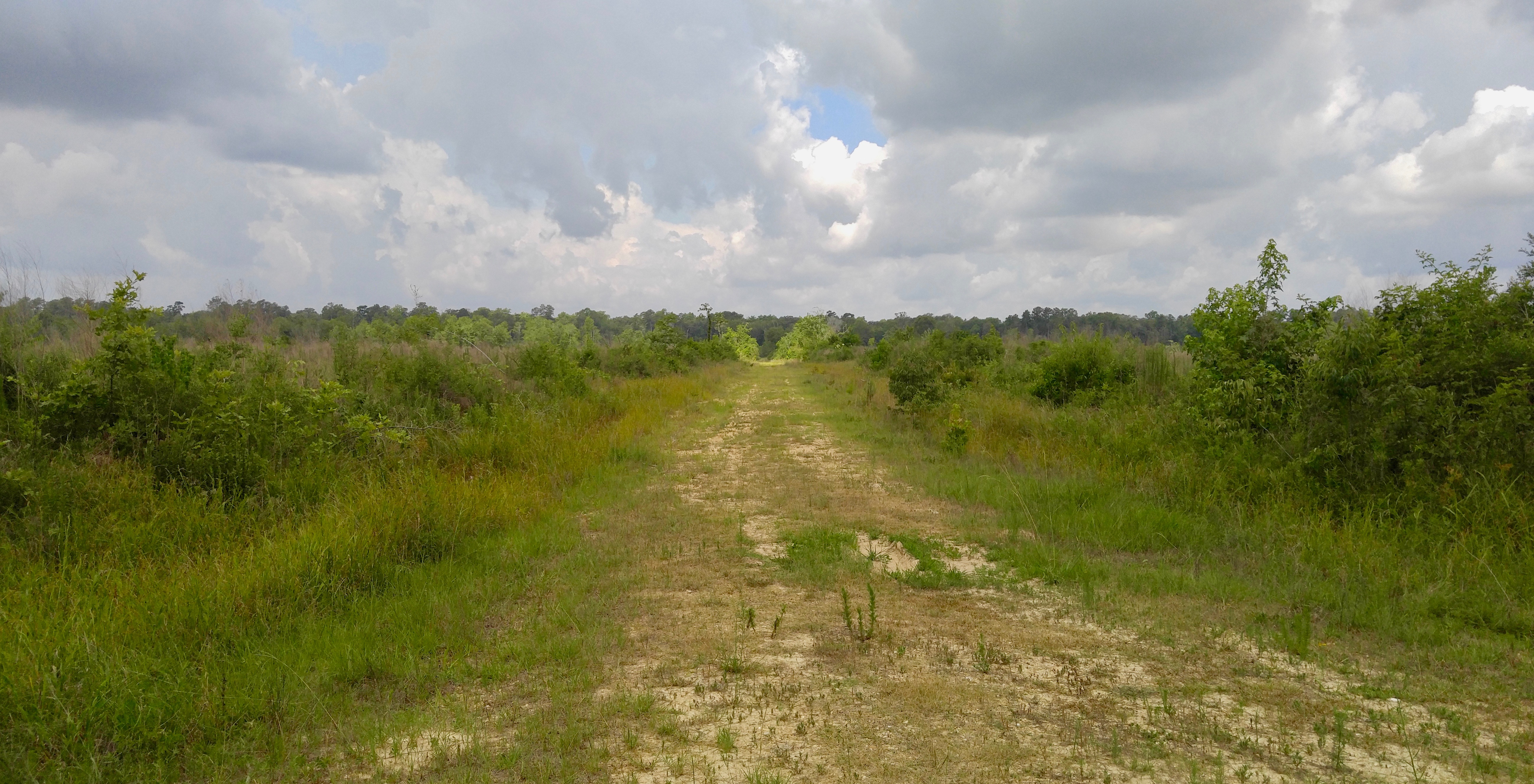
Landscaped!

Landscape on the right

Landscape on the left

Dirty Boy

The Botanist

Tranquility Rd., St. Helena Parish

Thornton Rd.

Camp Joy Rd.
Thornton Rd.
IMG_0644 new landfill temporary denham springs

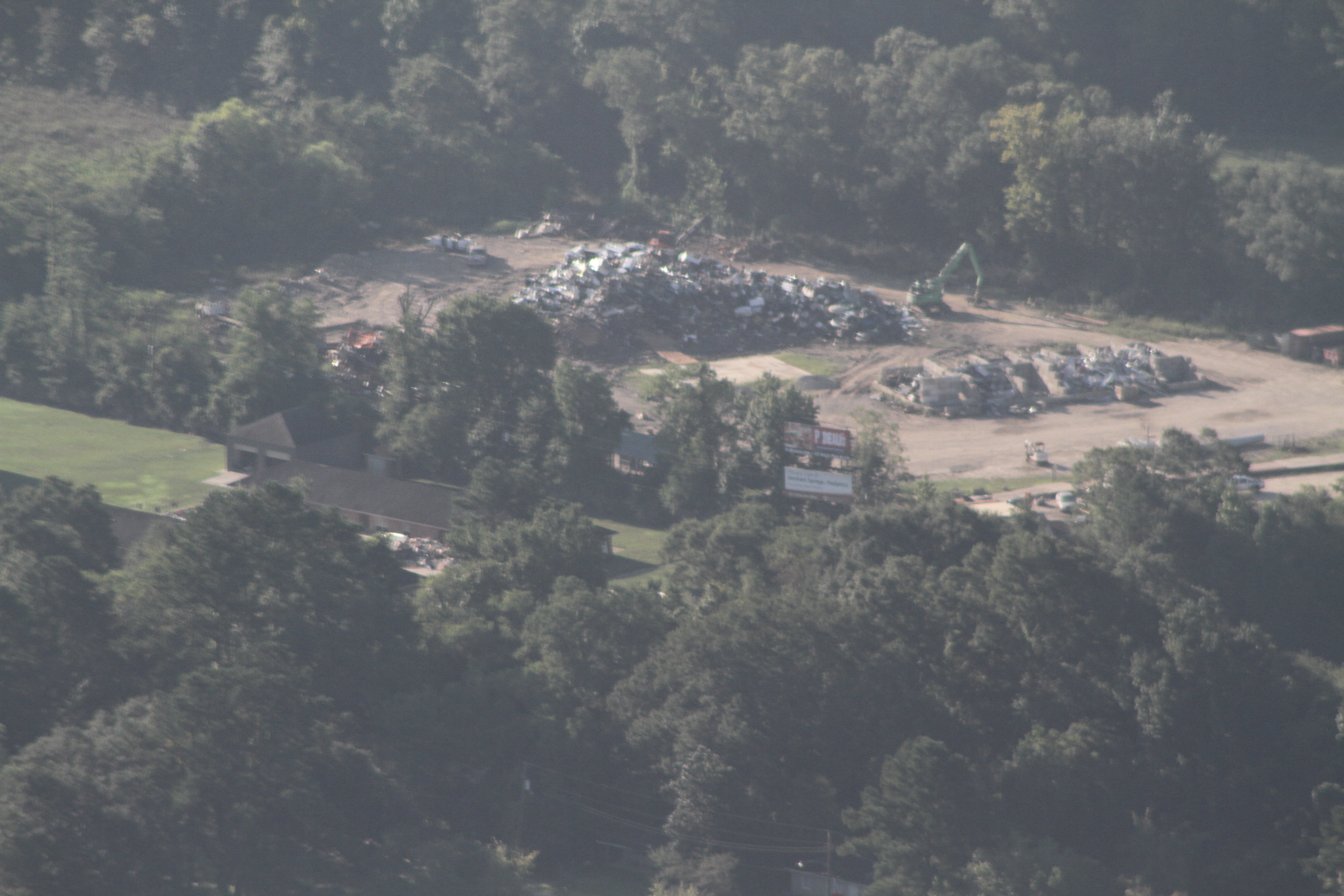
IMG_0709 new layer walker landfill

Tickfaw River Holden, LA

Tickfaw River Holden, LA
Topographic Map of N Corbin Rd, Walker, LA, USA
Find elevation by address:

Places near N Corbin Rd, Walker, LA, USA:
Sand Hill Rd, Walker, LA, USA
38511 Reinninger Rd
2, LA, USA
Cassie Drive
Cassie Drive
12075 Sims Rd
12075 Sims Rd
12039 Sims Rd
12039 Sims Rd
12039 Sims Rd
12039 Sims Rd
12039 Sims Rd
36374 Caraway Rd
36374 Caraway Rd
37052 Prestonview Ln
10133 Garden Oaks Ave
9968 Garden Oaks Ave
37052 Oak View Ln
Garden Oaks Avenue
10412 Oakmount Dr
Recent Searches:
- Elevation of Bydgoszcz, Poland
- Elevation of Bydgoszcz, Poland
- Elevation of Calais Dr, Del Mar, CA, USA
- Elevation of Placer Mine Ln, West Jordan, UT, USA
- Elevation of E 63rd St, New York, NY, USA
- Elevation of Elk City, OK, USA
- Elevation of Erika Dr, Windsor, CA, USA
- Elevation of Village Ln, Finleyville, PA, USA
- Elevation of 24 Oakland Rd #, Scotland, ON N0E 1R0, Canada
- Elevation of Deep Gap Farm Rd E, Mill Spring, NC, USA