Elevation of N Center Ave, Somerset, PA, USA
Location: United States > Pennsylvania > Somerset County > Somerset >
Longitude: -79.076355
Latitude: 40.0314053
Elevation: 673m / 2208feet
Barometric Pressure: 93KPa
Elevation Map:
Satellite Map:
Related Photos:
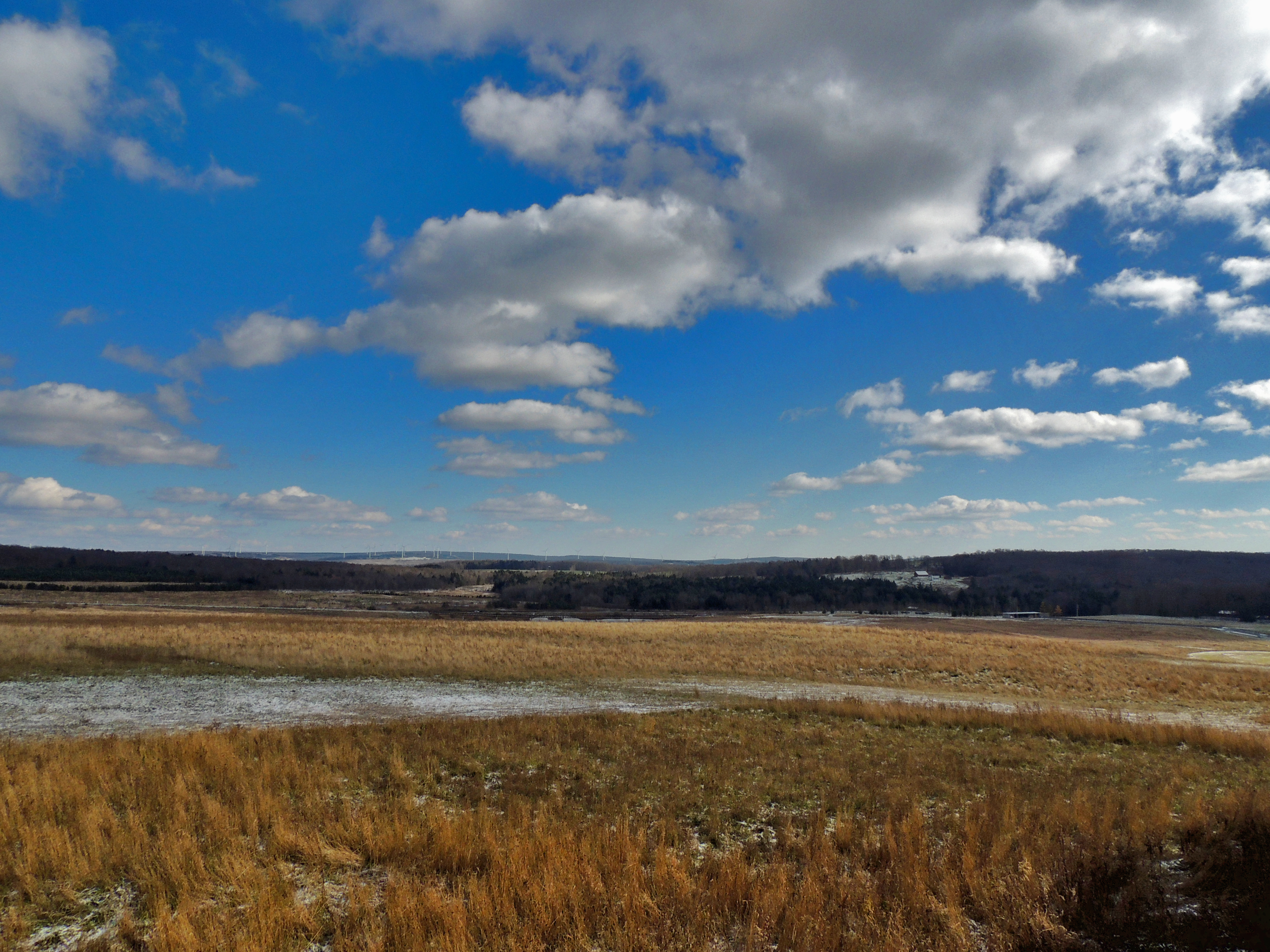
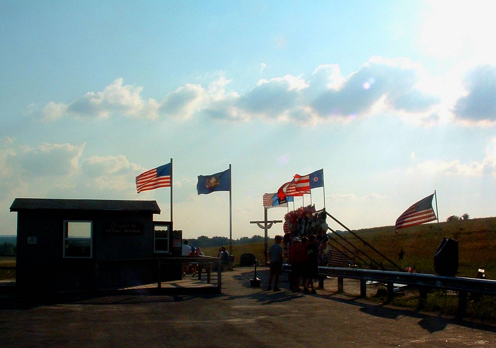
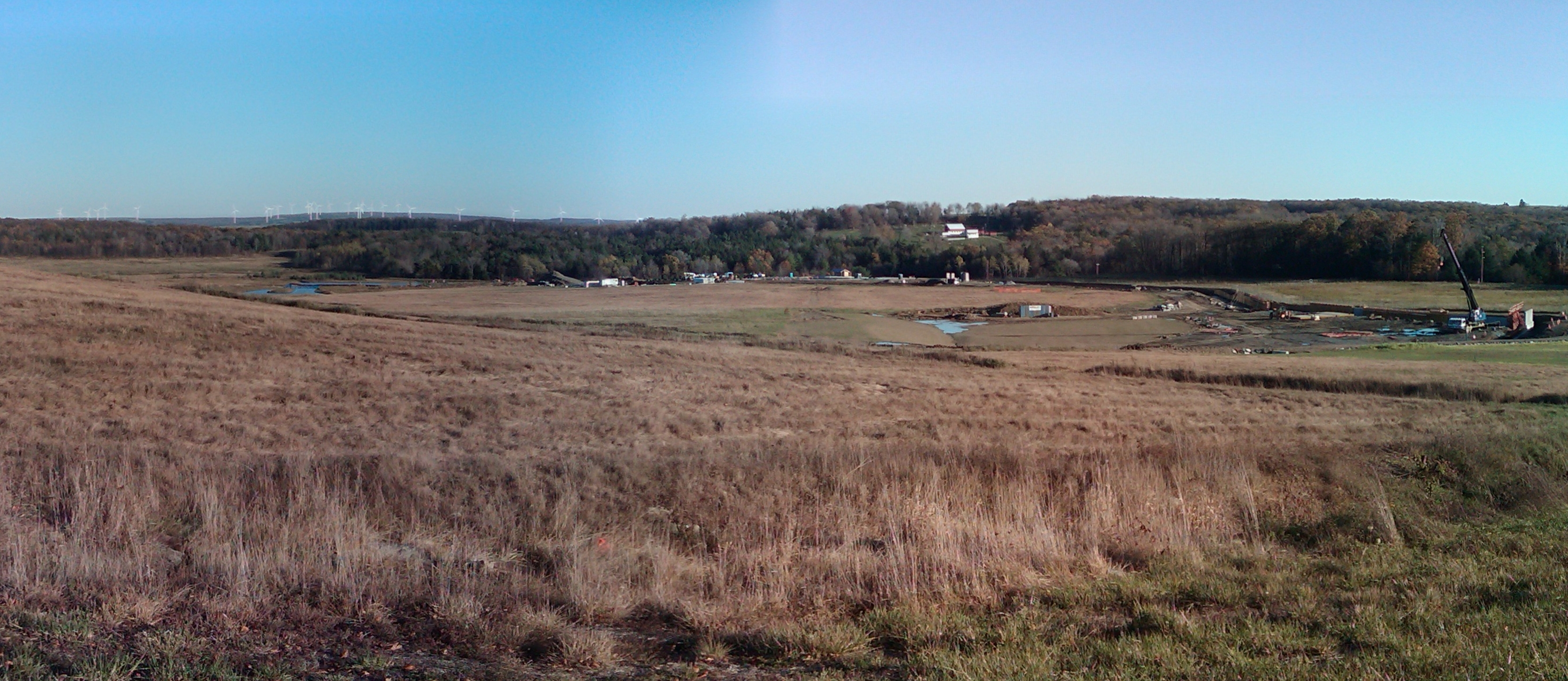
View Across the Flight 93
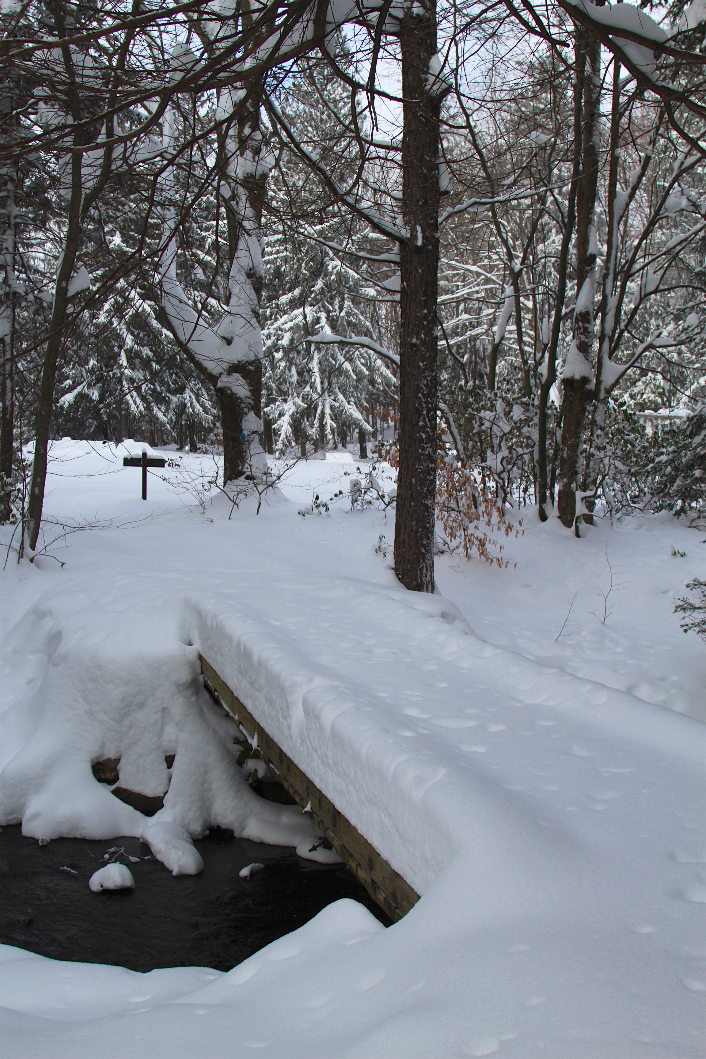
View of unmarked snow tracks on trail

View from Flight Path Overlook
A Round View

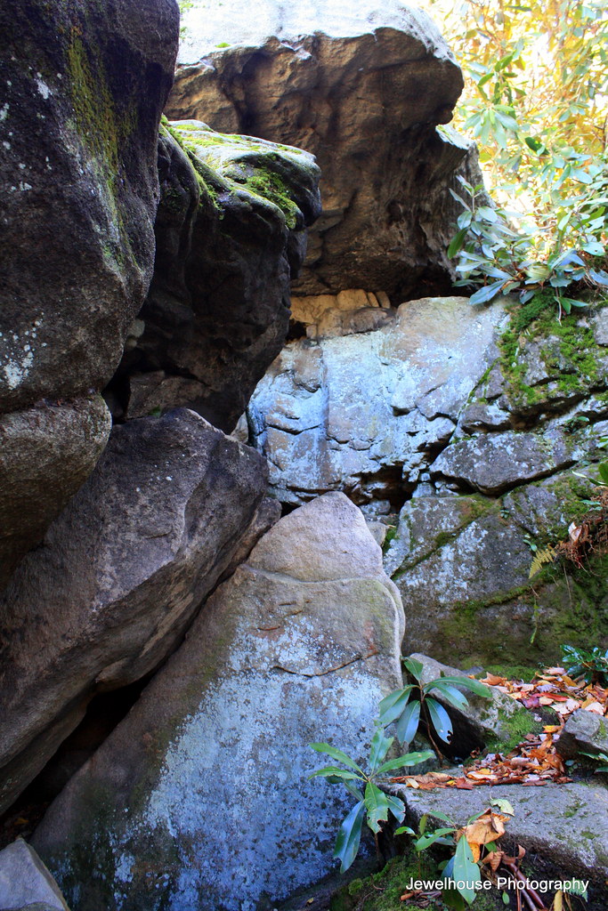
Another World

Green-legged Grasshopper - Melanoplus viridipes-species-group

Green-legged Grasshopper - Melanoplus viridipes-species-group
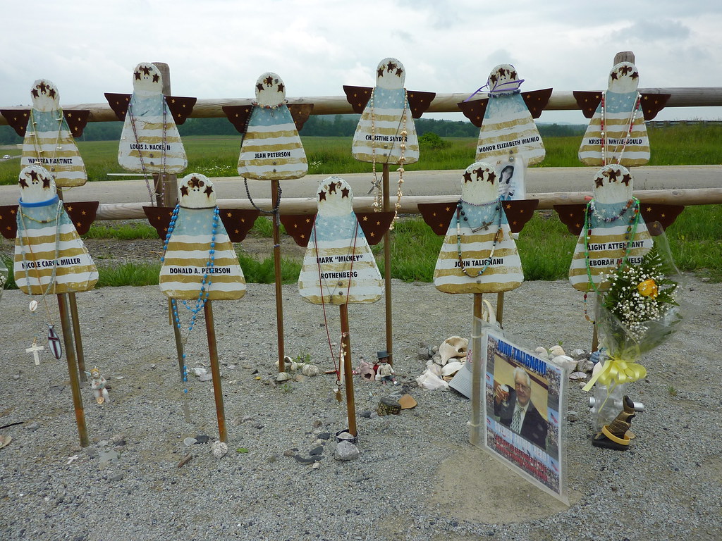
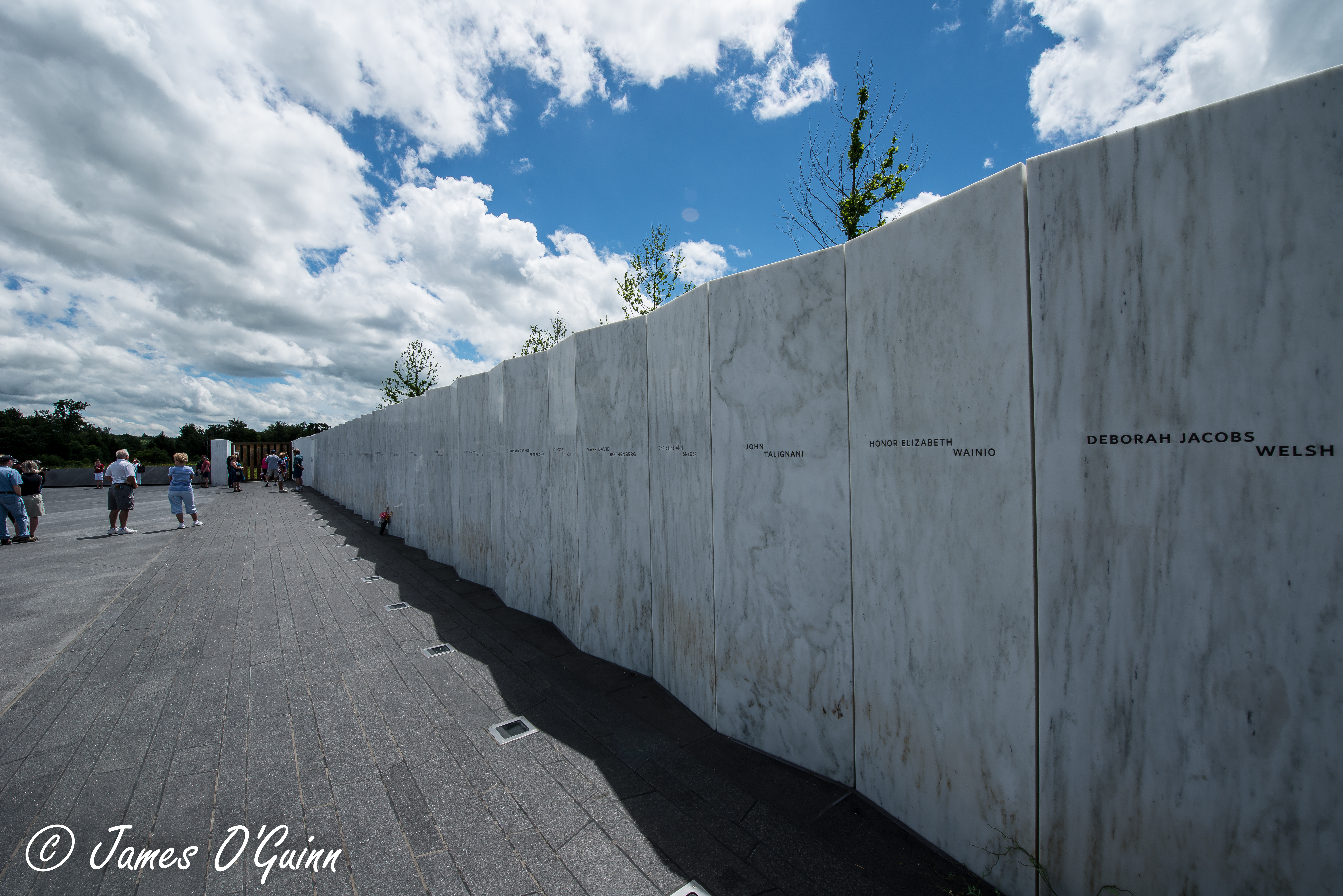
Memorial to the Victims of United Flight 93
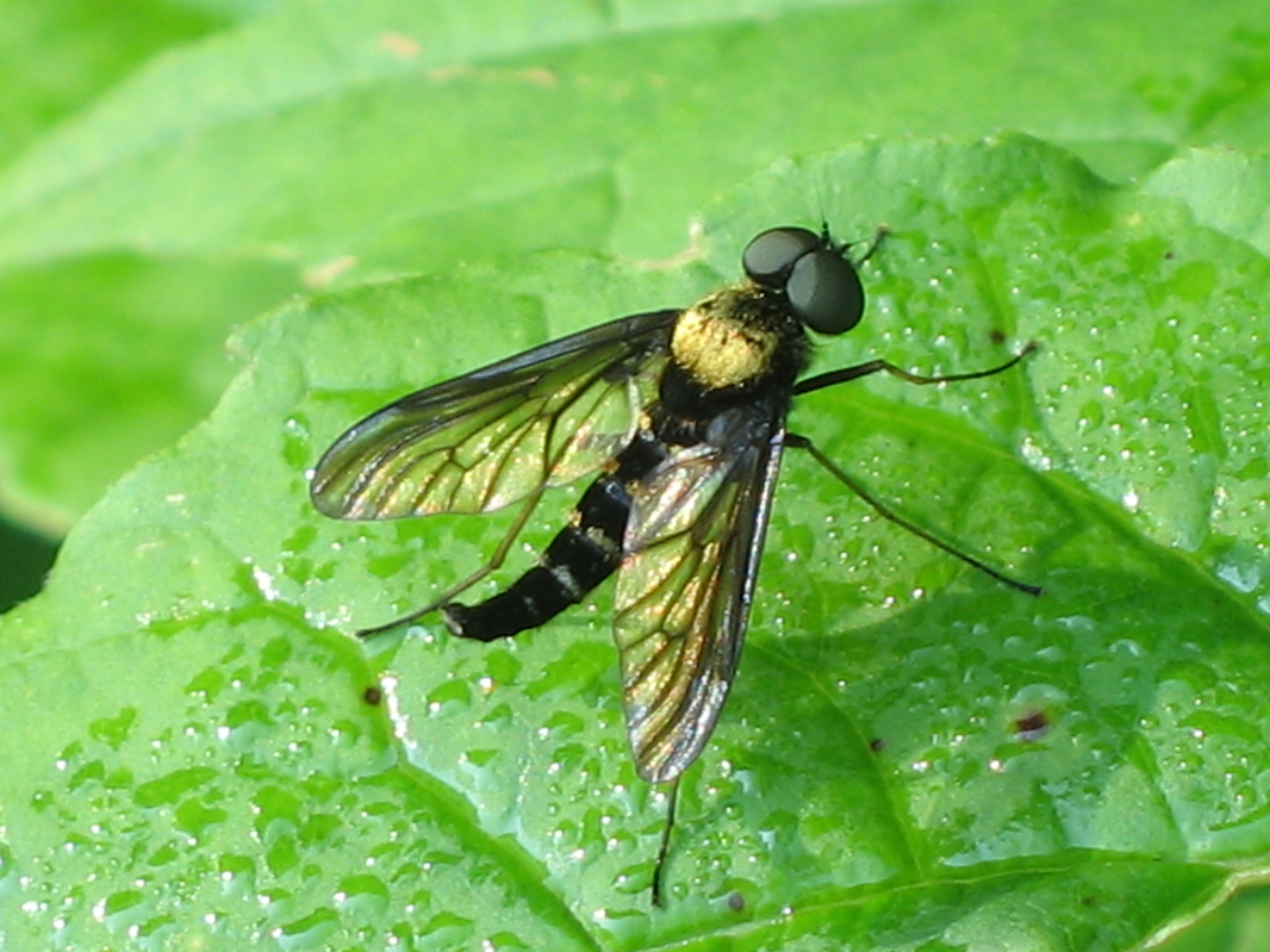
Golden-backed Snipe Fly - Chrysopilus thoracicus
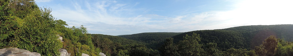
Full Wide View
the field
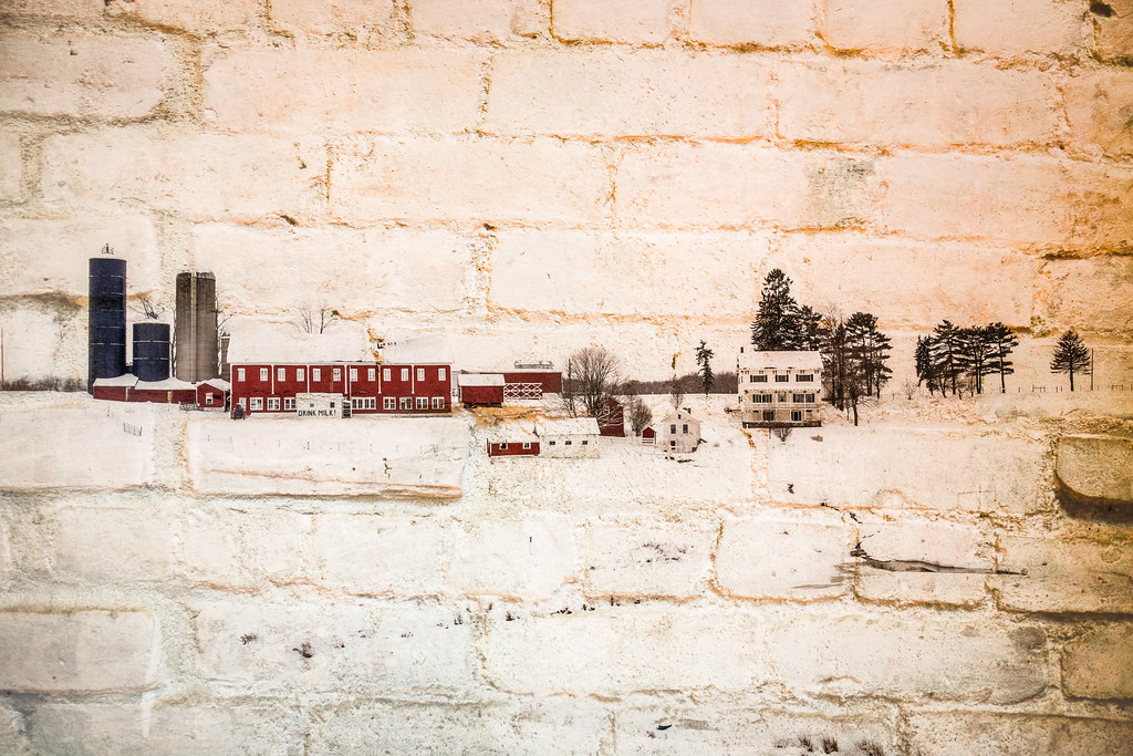
Flight 93 Memorial - Memorial Wall & Flight Path (2 of 3)

Flight 93 Memorial - Memorial Wall & Flight Path (1 of 3)
Full View
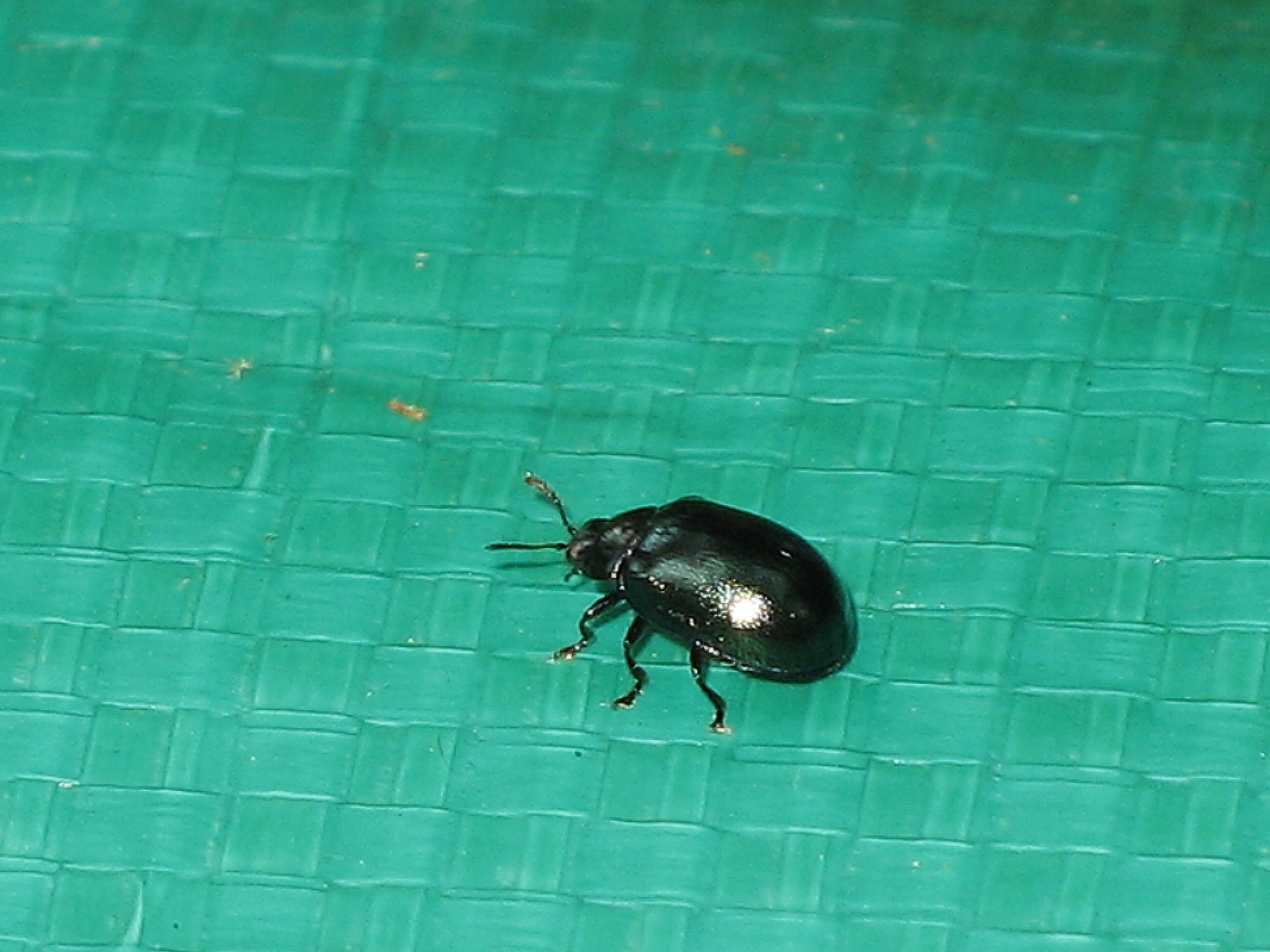
Most likely Plagiodera sp.
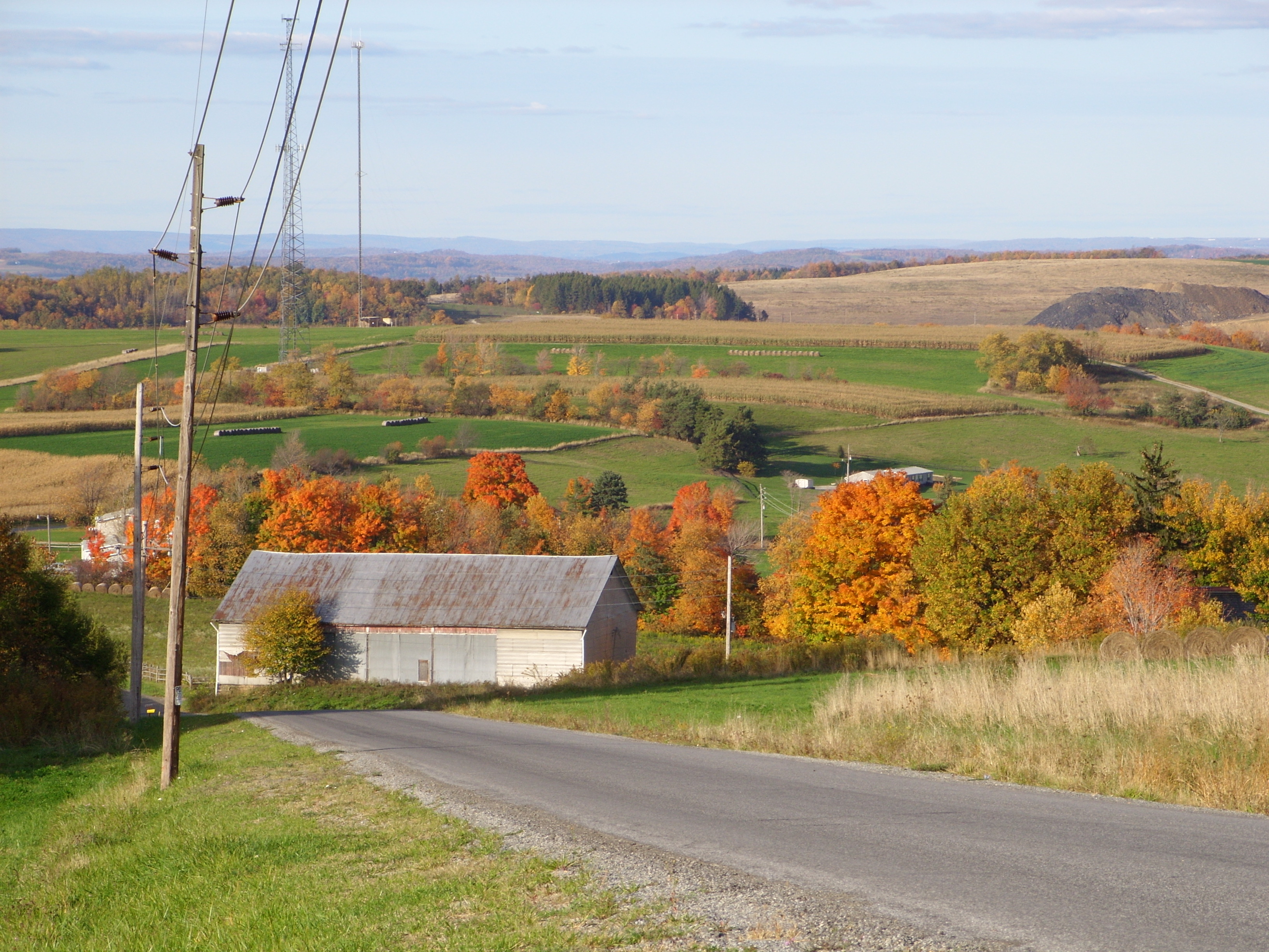
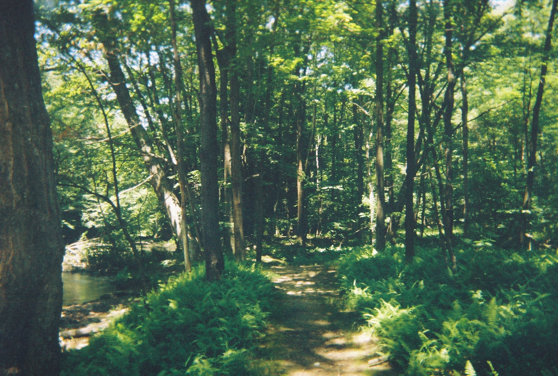
Fall Foliage

Quecreek Mine Rescue -- Somerset County, PA
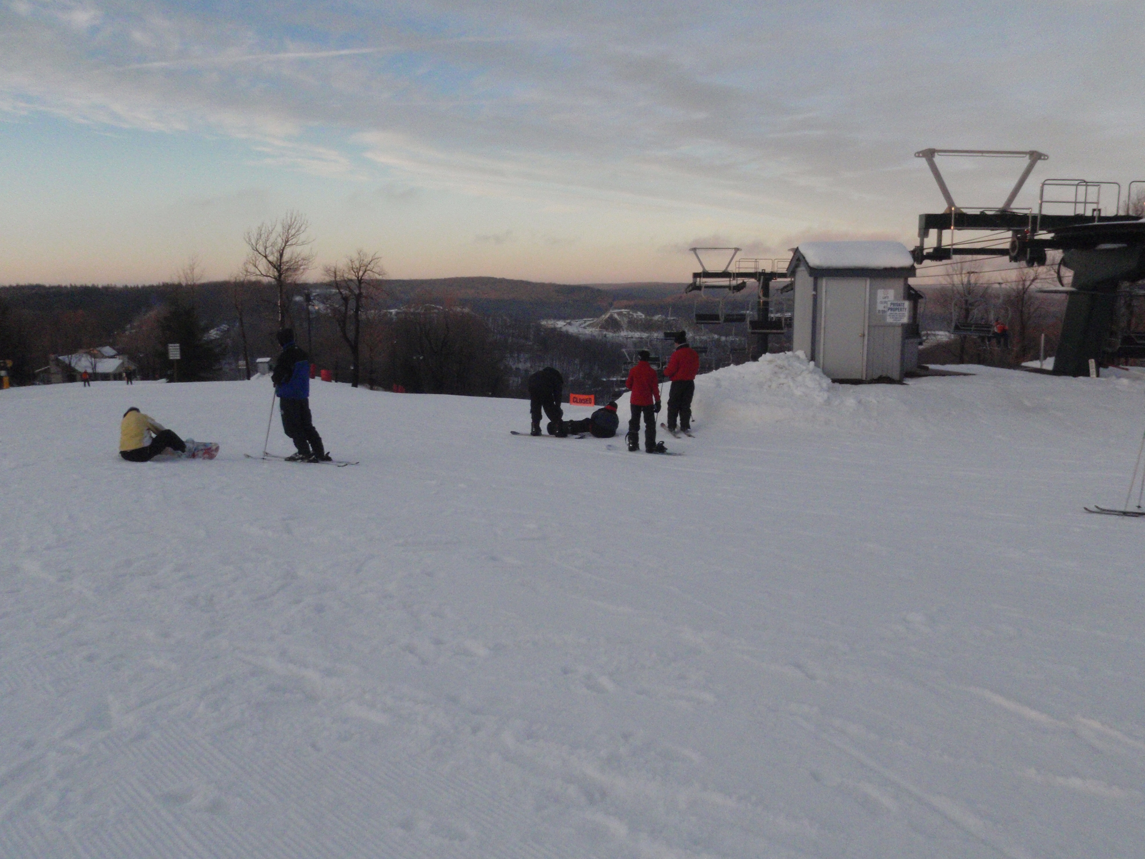
Nice view at the top of Hidden Valley
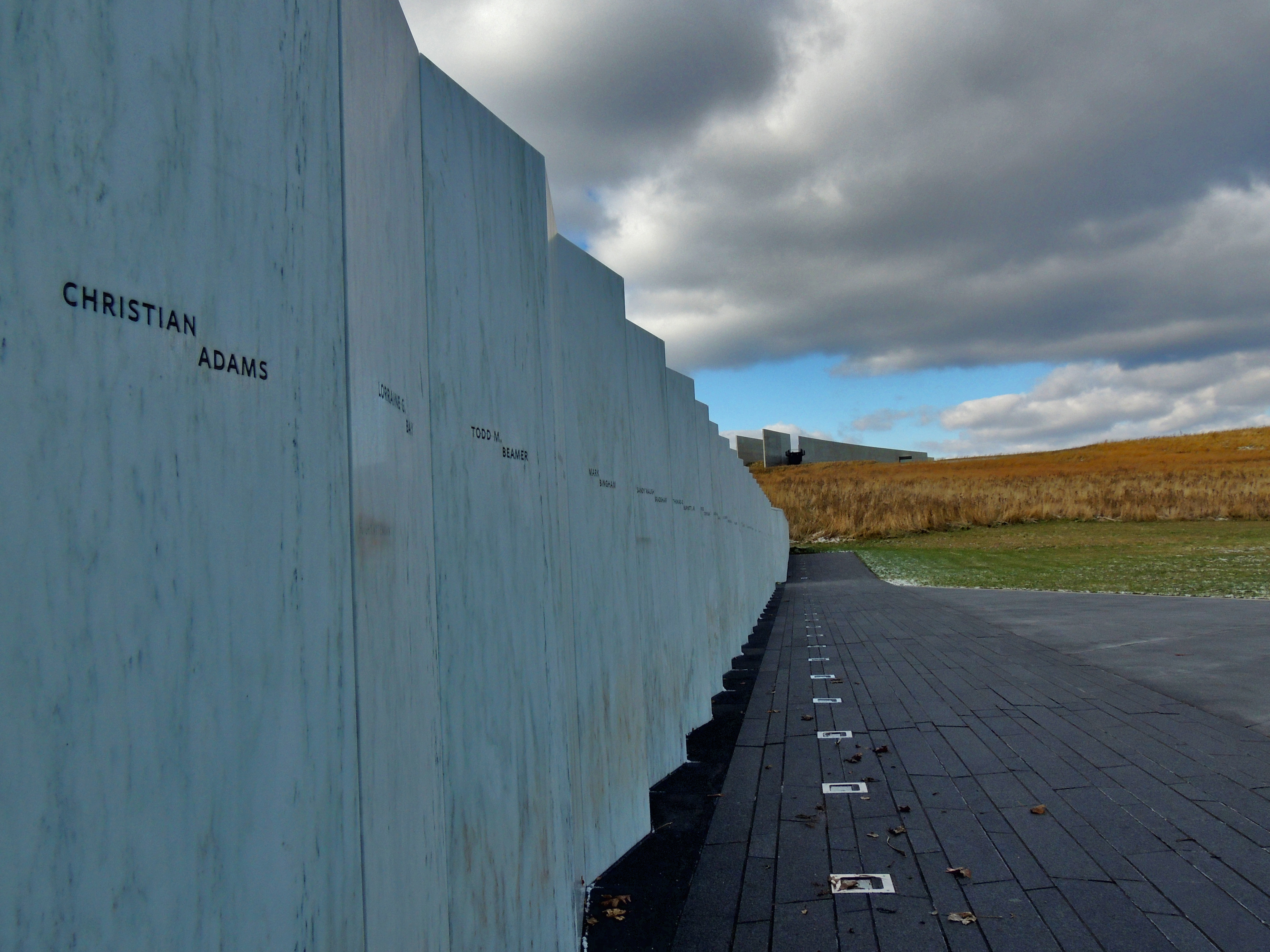
Wall of Names Flight 93
View of Memorial Wall
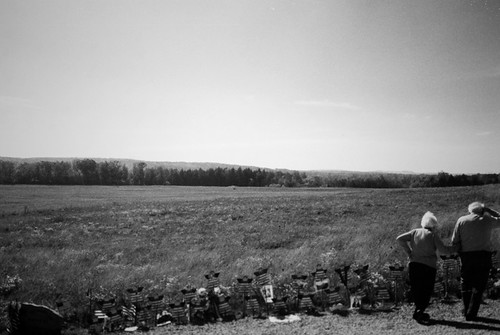
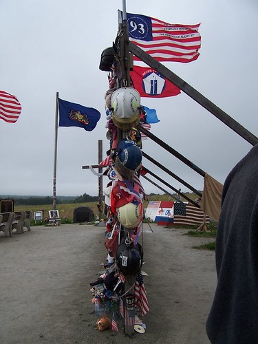
View from overlook at Flight 93 Temporary Memorial
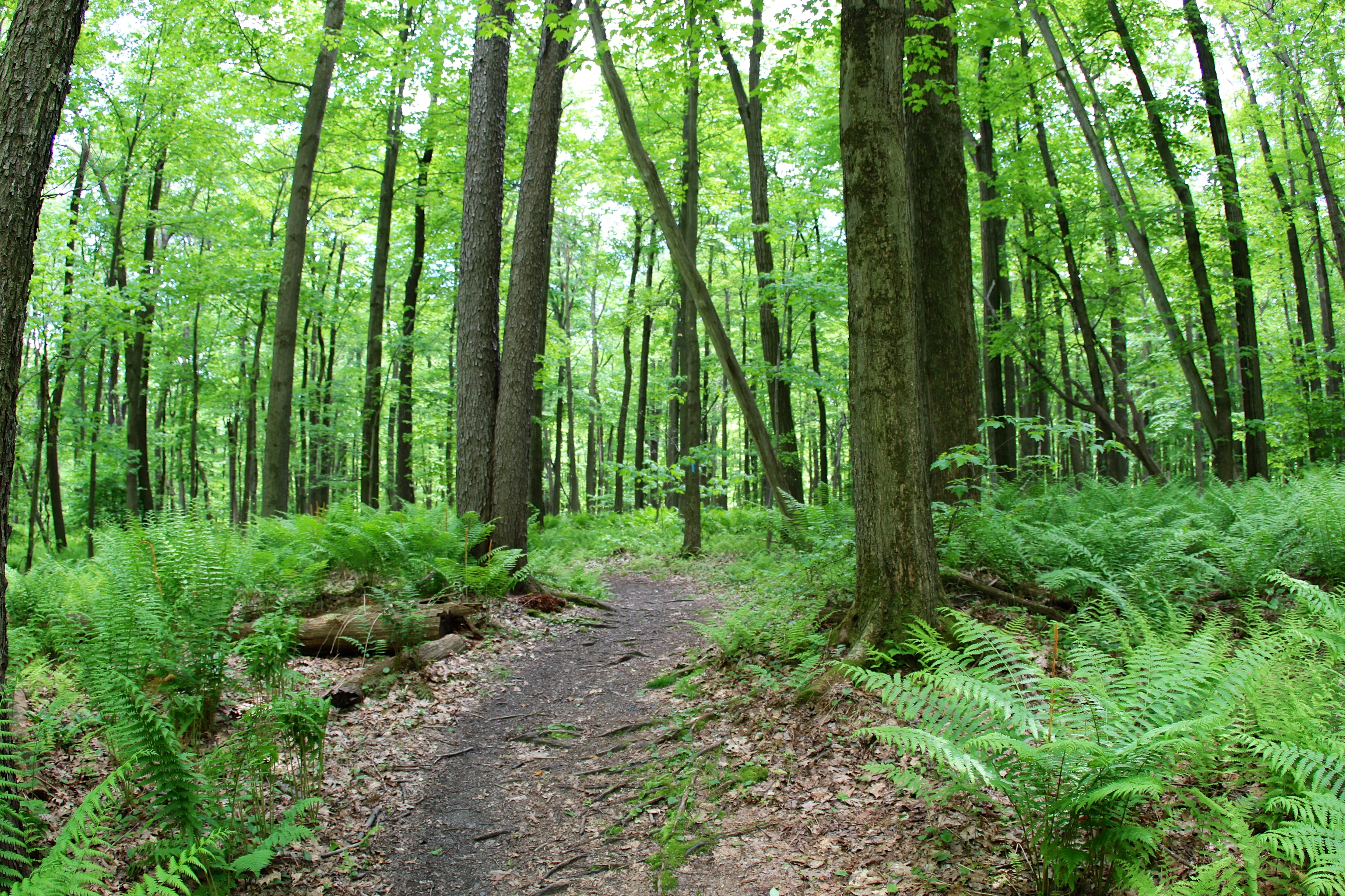
Follow the trail
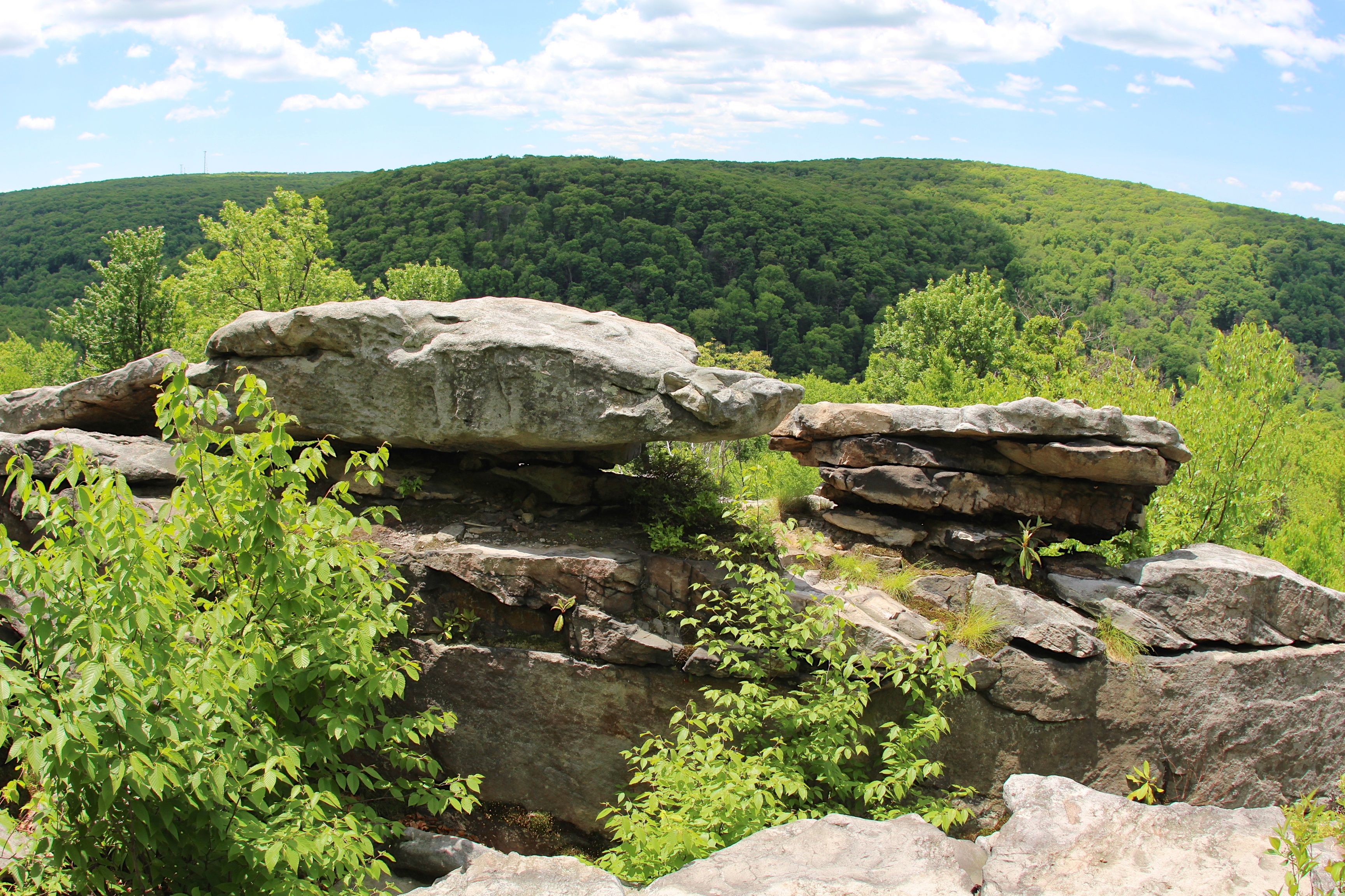
Entering Wolf Rocks
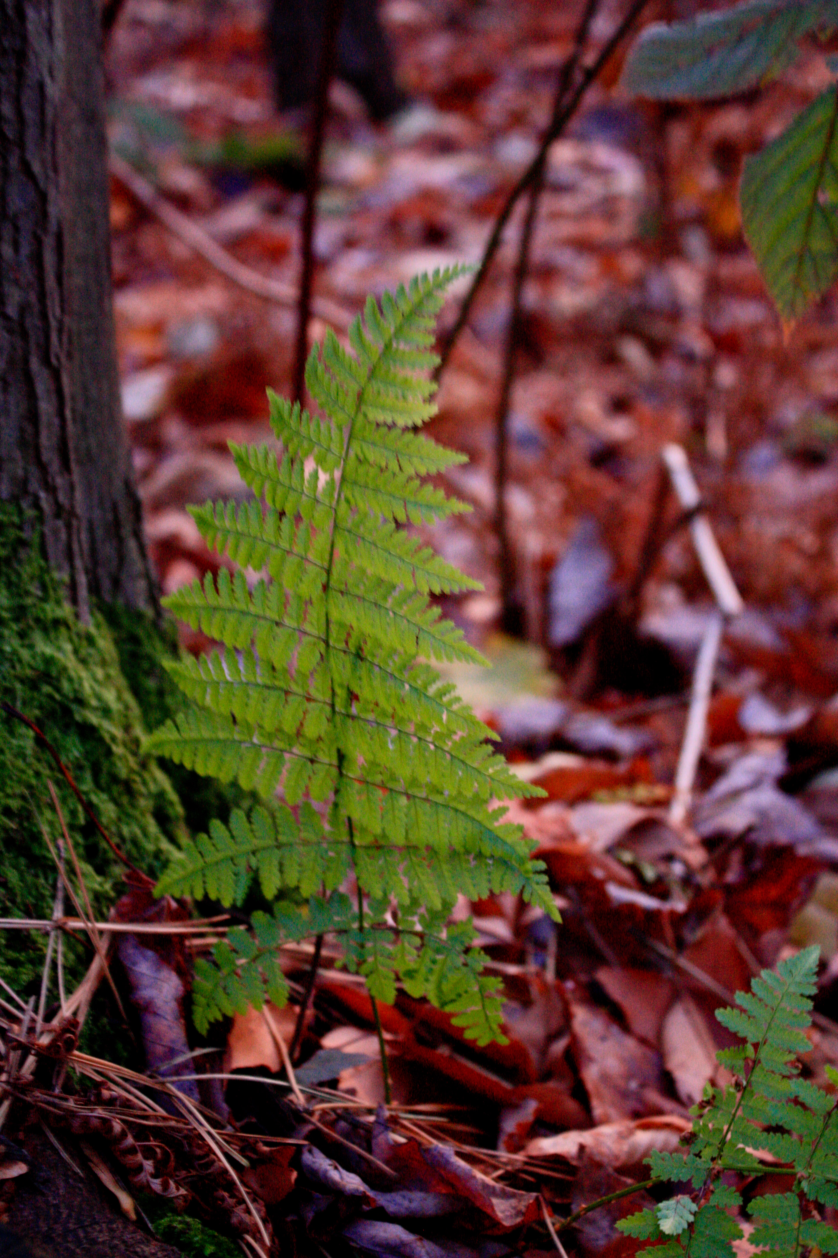
Fern in Hidden Valley Resort

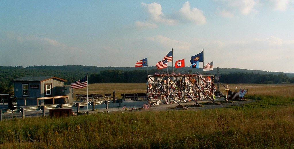
Windmill on Land 93
Laurel Hill State Park

Standing On the Highest Rock
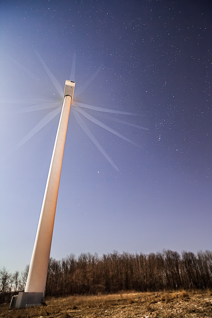
Night Wind
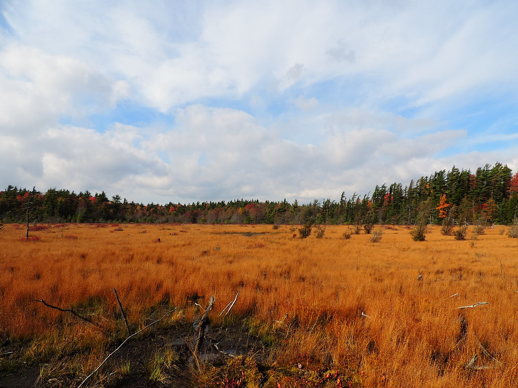
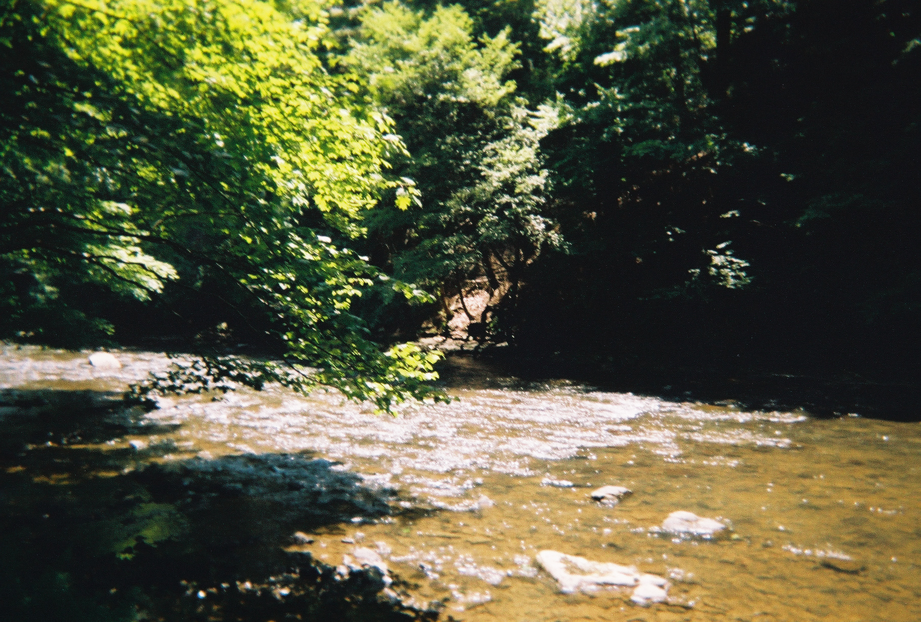
The Marshlands
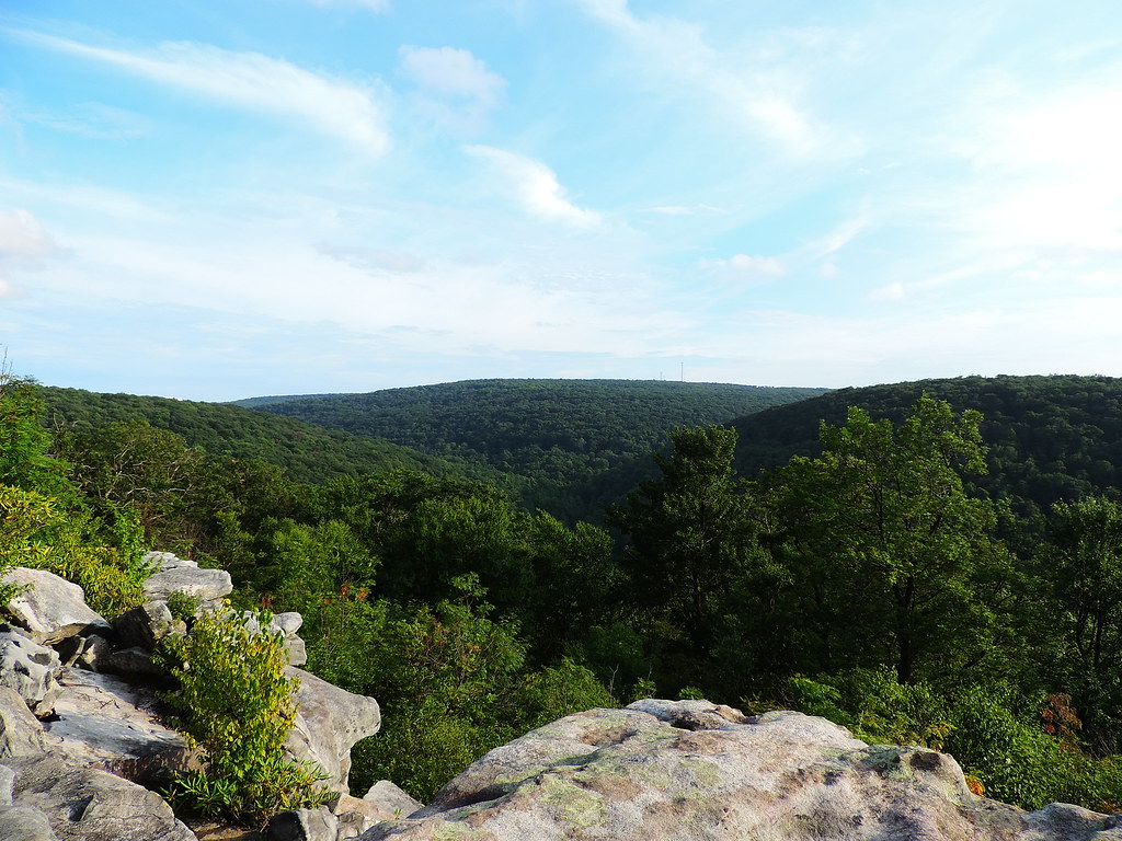
From the Highest Rock
_V578278-Edit.jpg
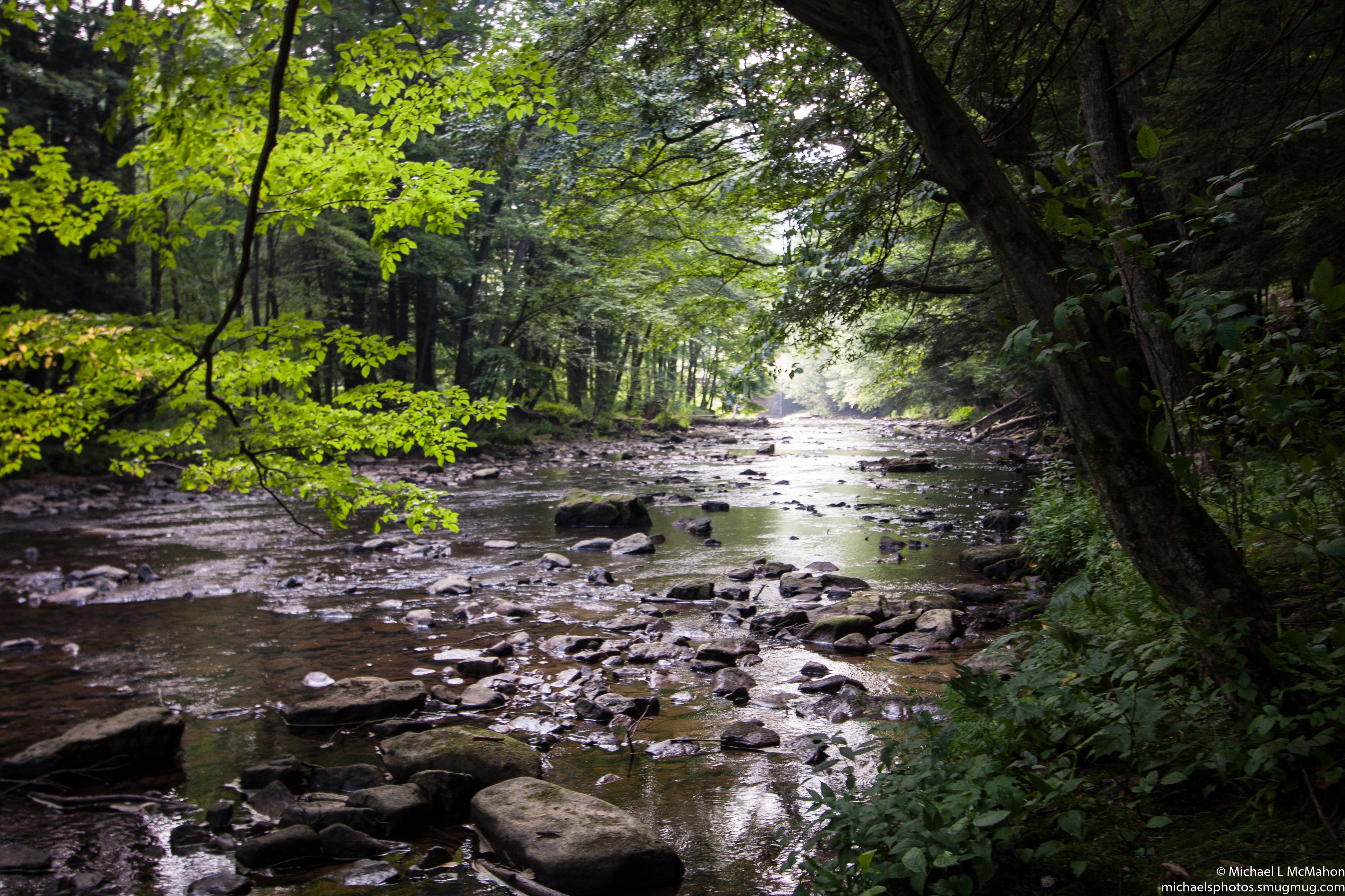
Laurel Hill State Park - Hemlock Trail
17-IMG_5791

@muska9907 walking to the end of the earth #hiddenvalley #green #golf #golfcourse #flag #clouds #sky #shadow #instagood #iphonesia #photooftheday
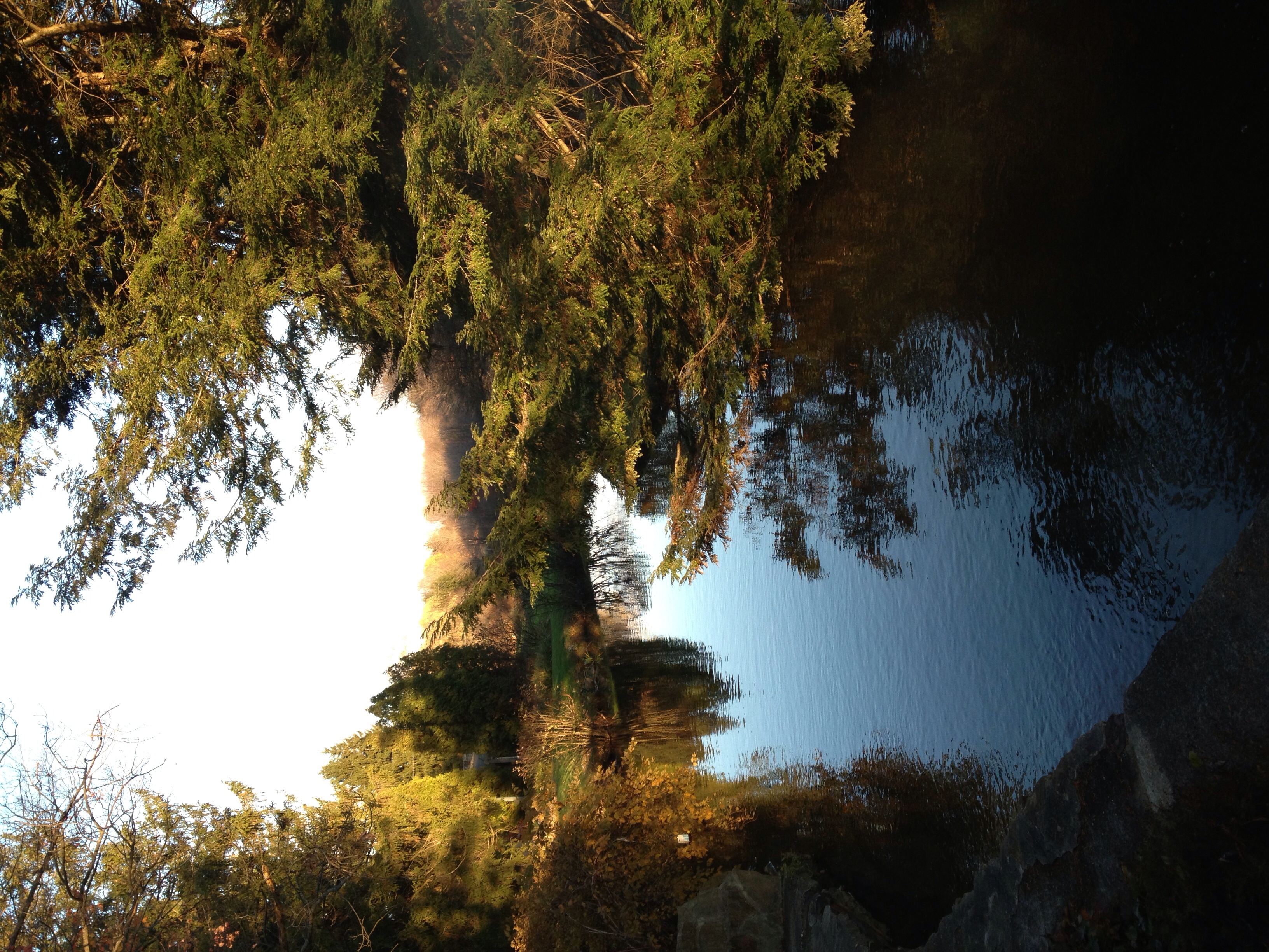
The pond at Green Gables
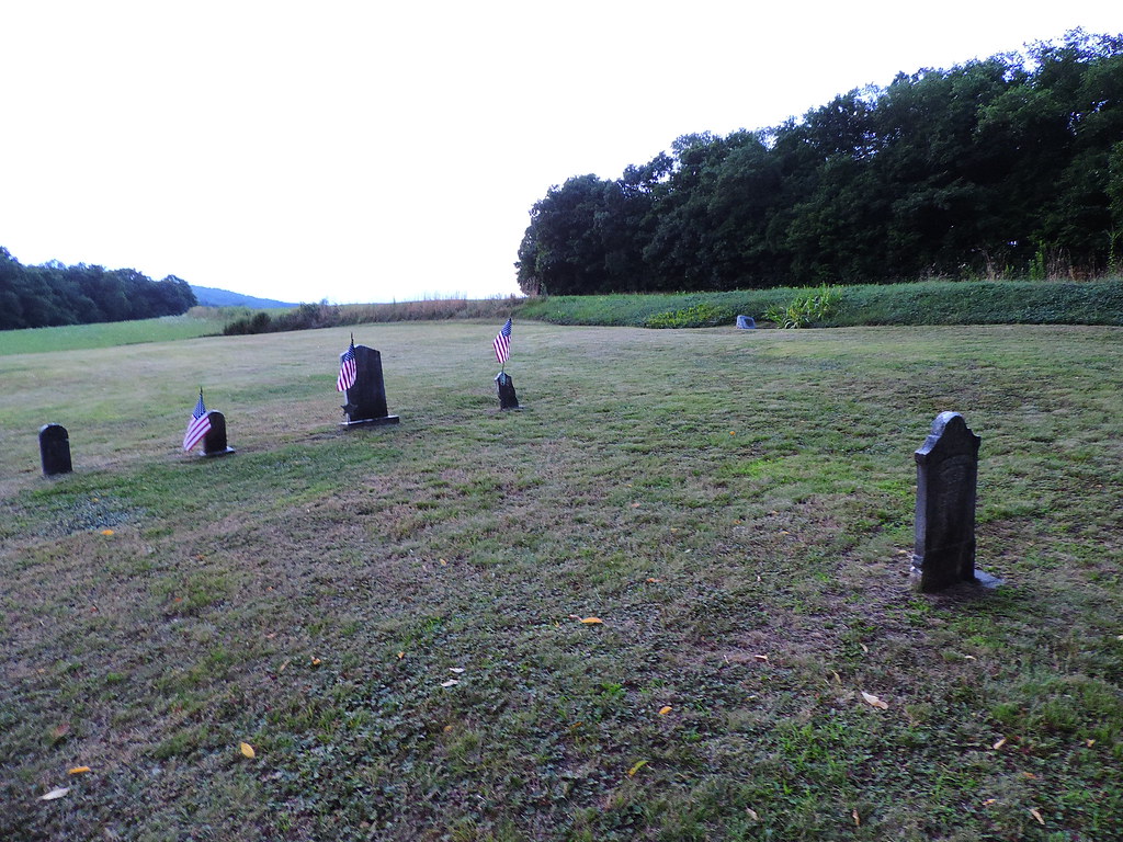
Sitting behind the foundation of the former church is this small veteran Cemetery.
Kooser State Park
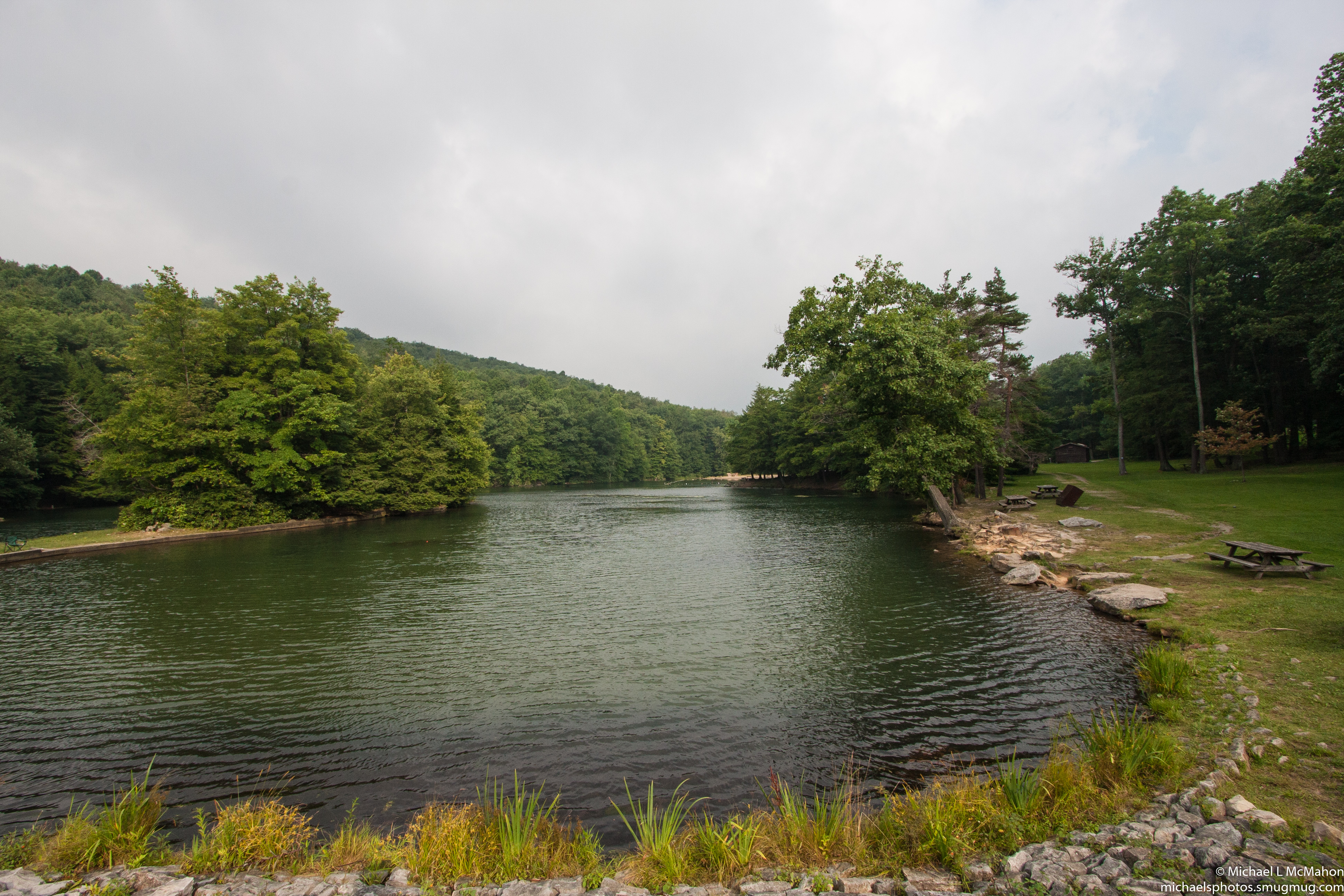
Laurel Hill State Park
Mt. Zion Luthern Church
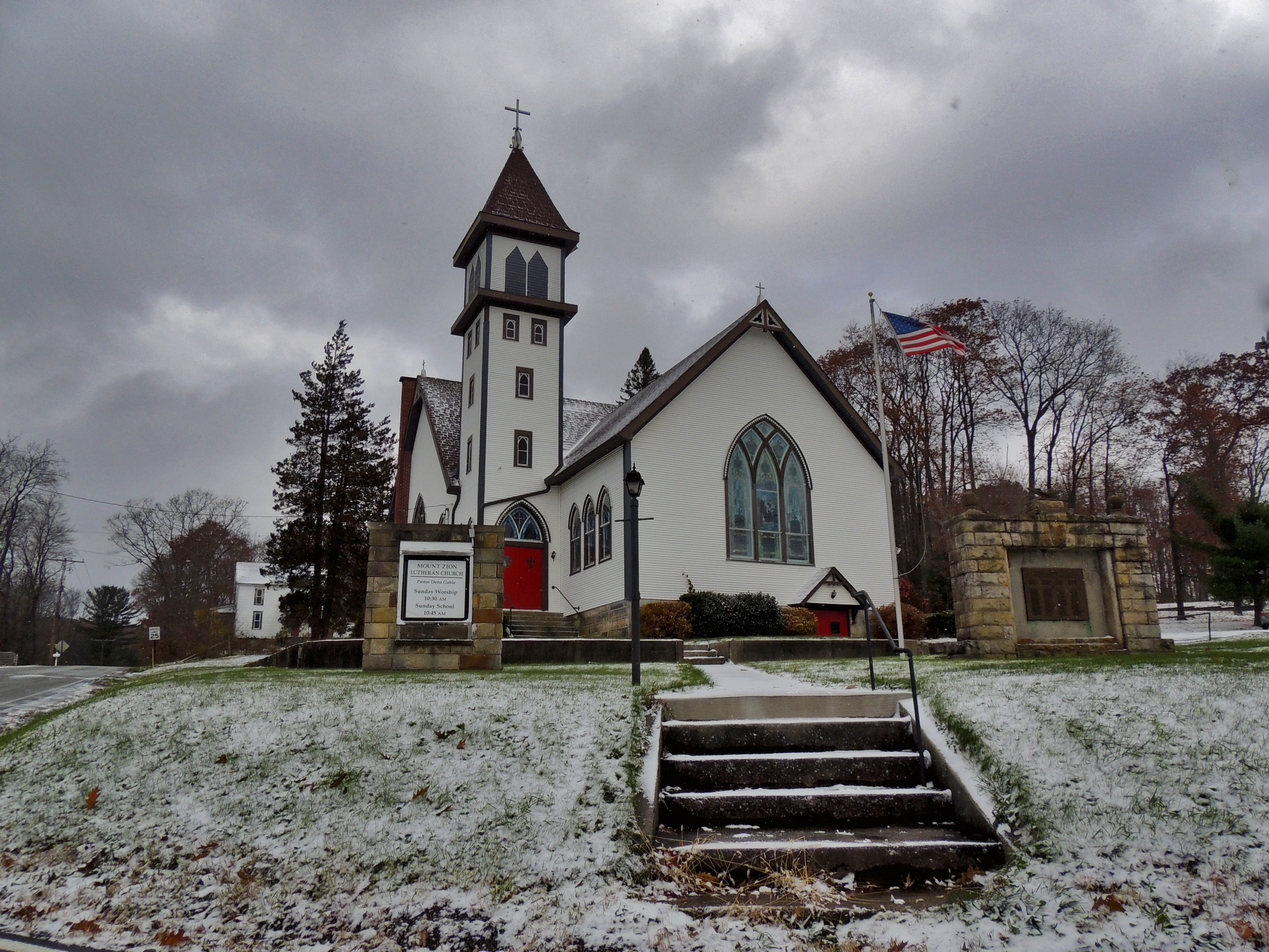
Mt. Zion Luthern Church

PA Turnpike
Topographic Map of N Center Ave, Somerset, PA, USA
Find elevation by address:

Places near N Center Ave, Somerset, PA, USA:
2005 N Center Ave
537 Felgar Rd
111 E Union St
Somerset
Pennsylvania Turnpike
187 Hillside Ln
590 Briar Patch Rd
Culligan Rd, Somerset, PA, USA
463 Cannell Dr
1102 S Franklin Ave
100 Devilbiss Dr
1294 Grandview Ave
386 Drum Ave
1455 Berlin Plank Rd
158 Expresso Ln
Friedens
S Main St, Friedens, PA, USA
Royal Ridge Rd, Friedens, PA, USA
Wills Church Rd, Somerset, PA, USA
1414 Sheep Ridge Rd
Recent Searches:
- Elevation of Lampiasi St, Sarasota, FL, USA
- Elevation of Elwyn Dr, Roanoke Rapids, NC, USA
- Elevation of Congressional Dr, Stevensville, MD, USA
- Elevation of Bellview Rd, McLean, VA, USA
- Elevation of Stage Island Rd, Chatham, MA, USA
- Elevation of Shibuya Scramble Crossing, 21 Udagawacho, Shibuya City, Tokyo -, Japan
- Elevation of Jadagoniai, Kaunas District Municipality, Lithuania
- Elevation of Pagonija rock, Kranto 7-oji g. 8"N, Kaunas, Lithuania
- Elevation of Co Rd 87, Jamestown, CO, USA
- Elevation of Tenjo, Cundinamarca, Colombia