Elevation of N Carolina Hwy S, South Mills, NC, USA
Location: United States > North Carolina > Camden County > South Mills > South Mills >
Longitude: -76.265141
Latitude: 36.3937969
Elevation: 3m / 10feet
Barometric Pressure: 101KPa
Elevation Map:
Satellite Map:
Related Photos:

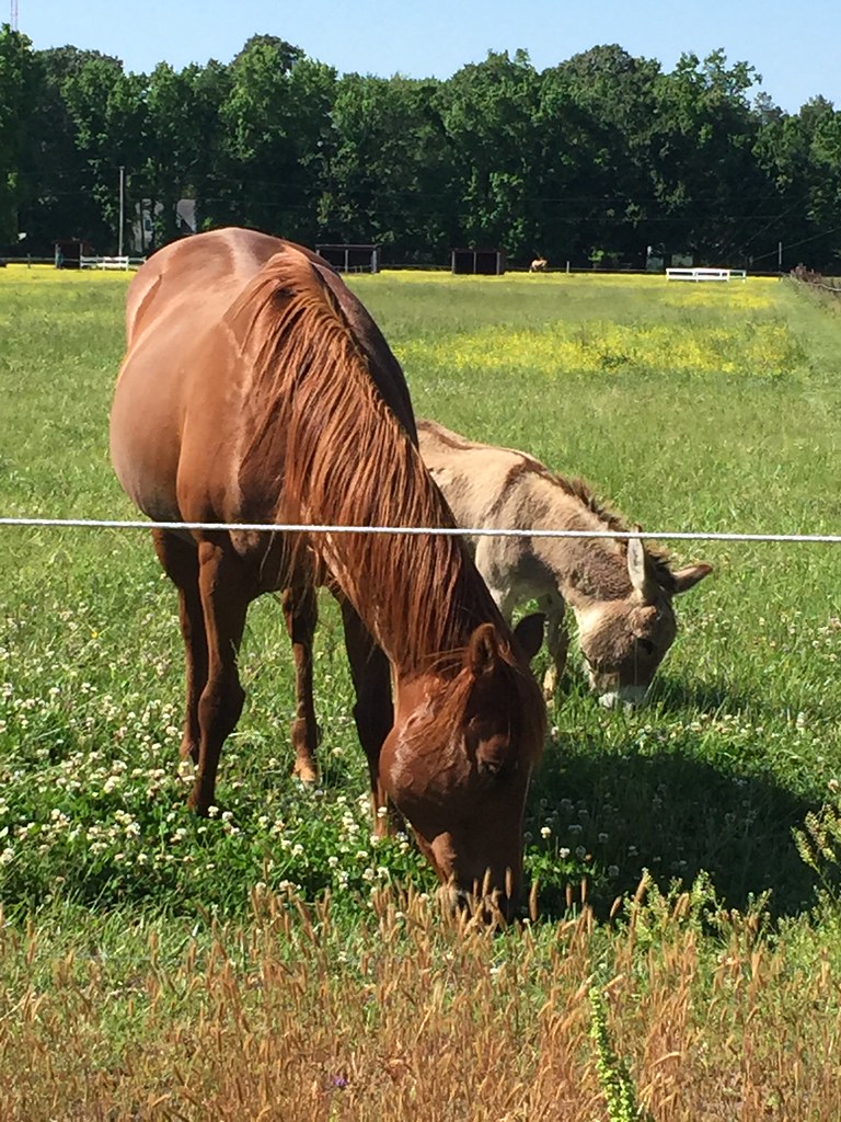
A New Day
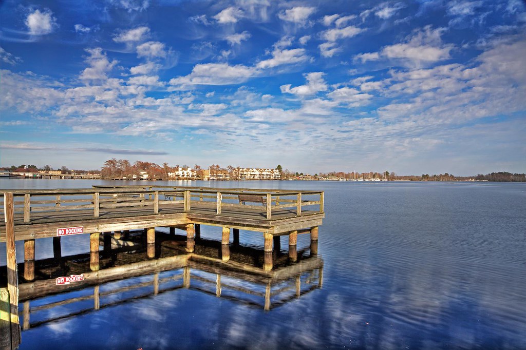
Elizabeth City Harbor View

My view for today. Dec1 #capturingdecember #christmas
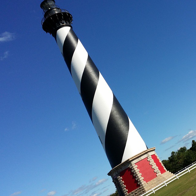
A tilted view of the Cape Hatteras lighthouse from the trip my wife and I took there yesterday. #capehatteras #lighthouses #latergram
Film can cannon test - Binaca (animated gif)
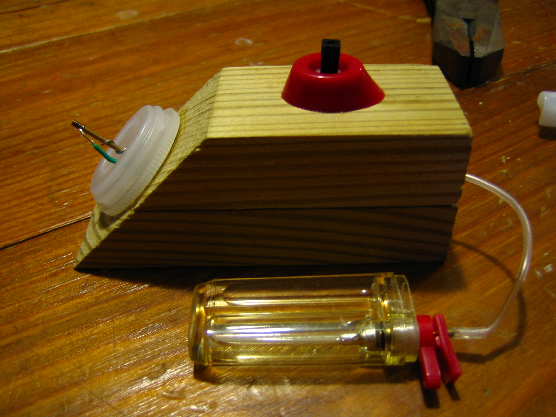
Film Can Cannon Completed
Film can cannon test - Butane (animated gif)

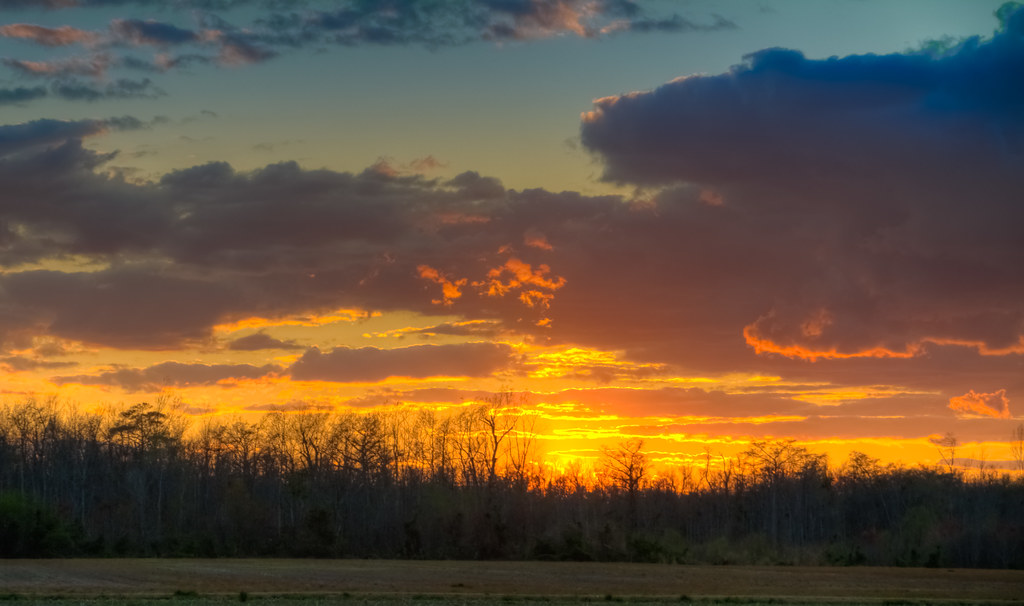
Sunset on the Pasquotank
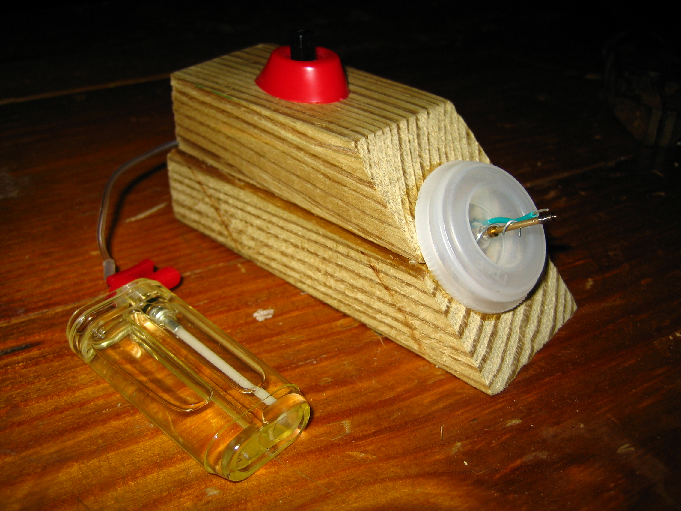
Film Can Cannon Completed

IMG_8952.JPG
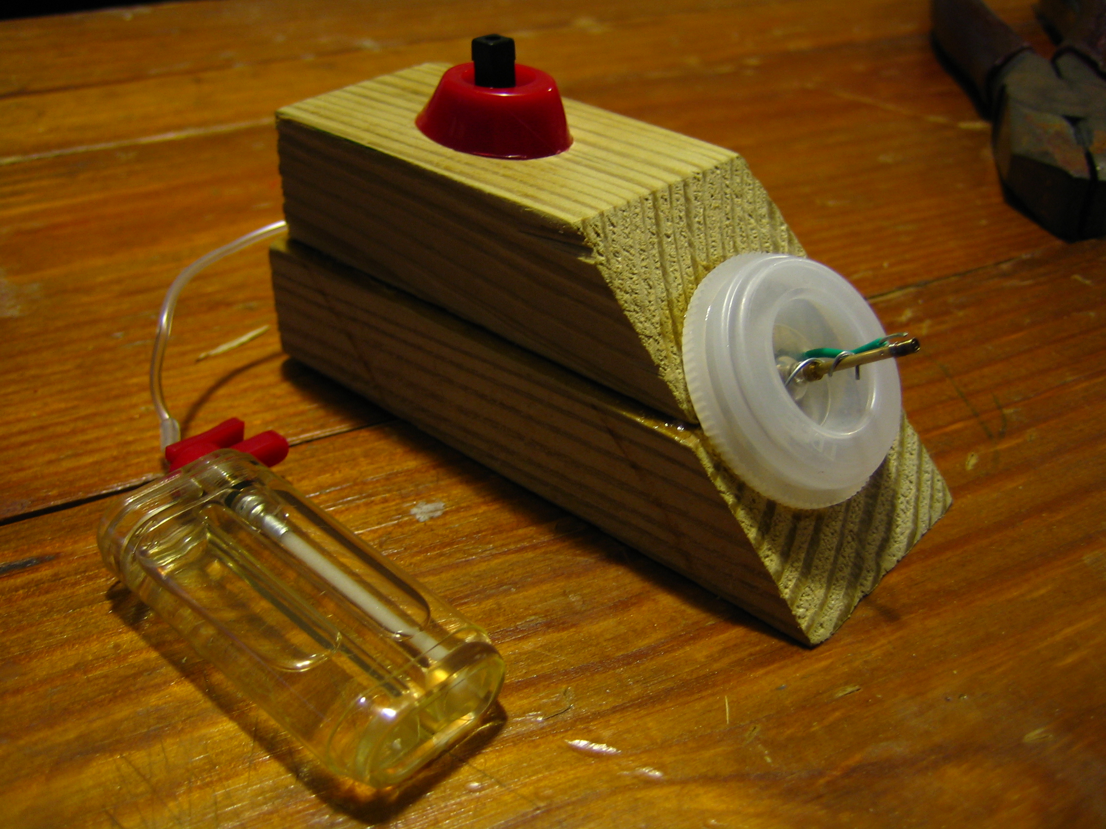
Film Can Cannon Completed
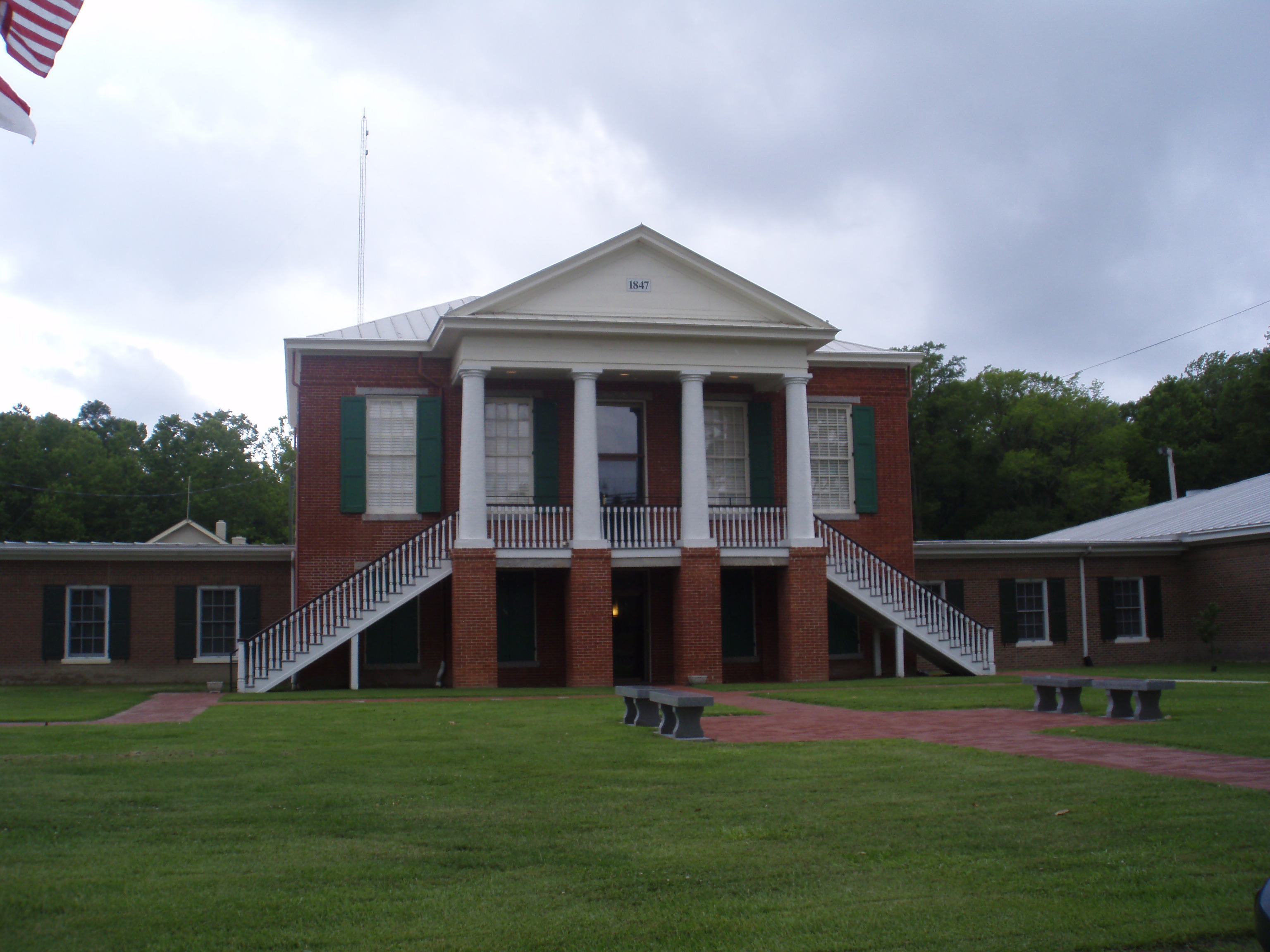
Front View Camden County Courthouse, Camden(C.H.) NC
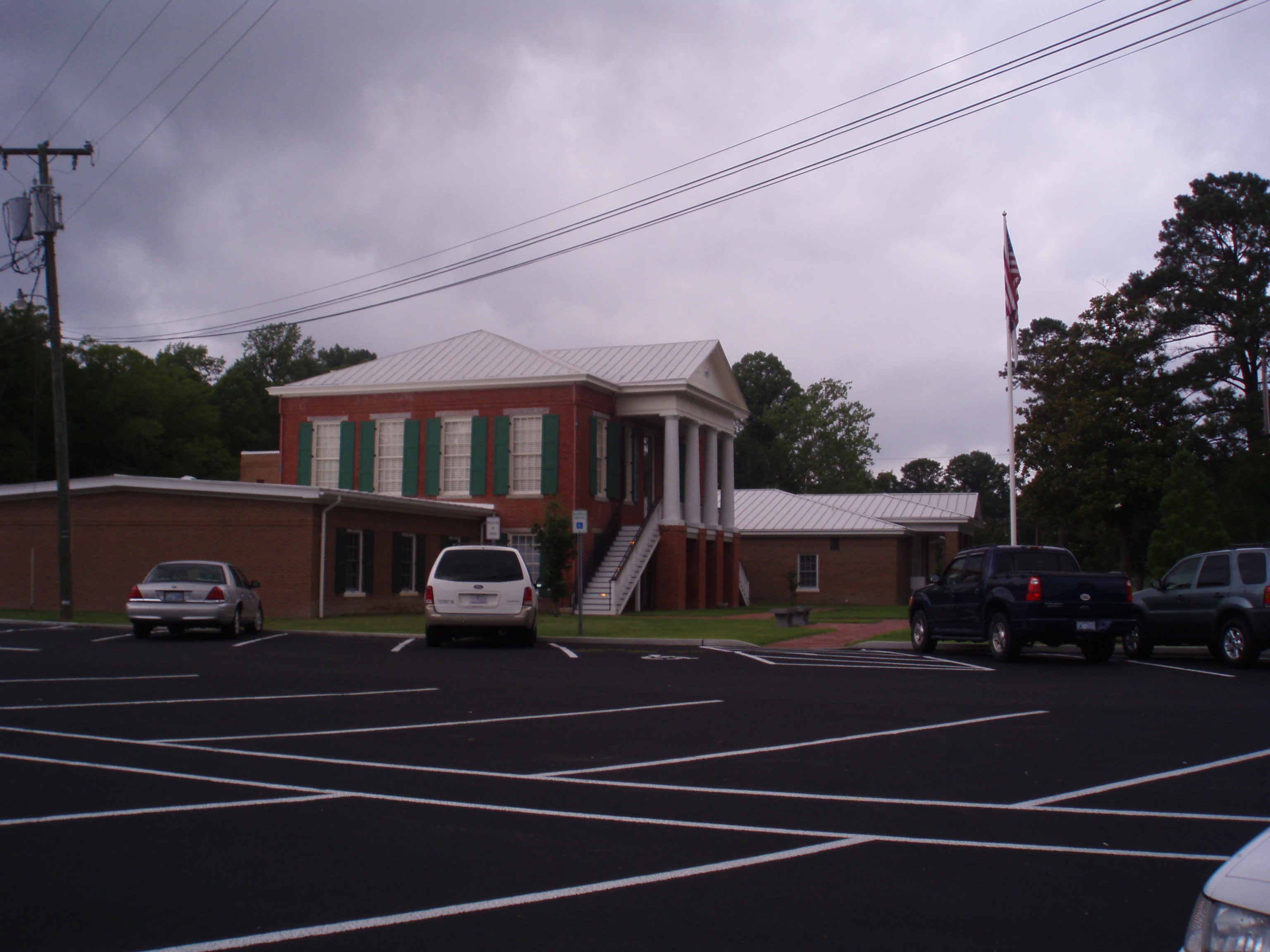
Side View Camden County Courthouse
Film Can Cannon Completed

z2013-09-11 (22) Currituck County NC

fishing at sunset
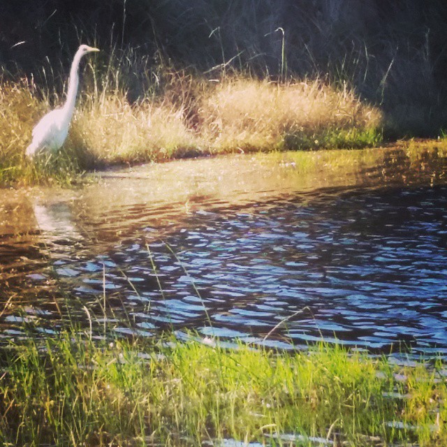
Egret at Cape Hatteras. #mayfair #OBX #latergram

new life 4 28 2013 804
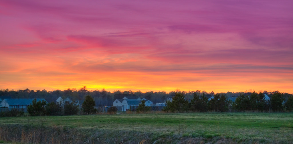
_MG_4506_7_8_tonemapped-2.jpg
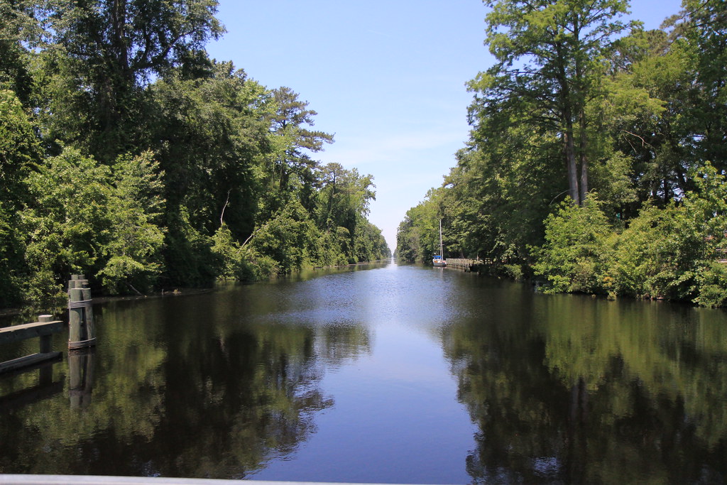
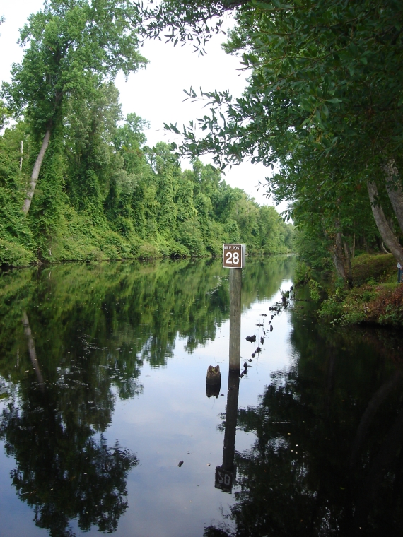
The canal looking north

Elizabeth City, NC

Elizabeth City, NC

3001 Dismal Swamp Canal Img_17595
.
.
.
.

_MG_4400_1_2_tonemapped.jpg
_MG_4397_8_9_tonemapped.jpg

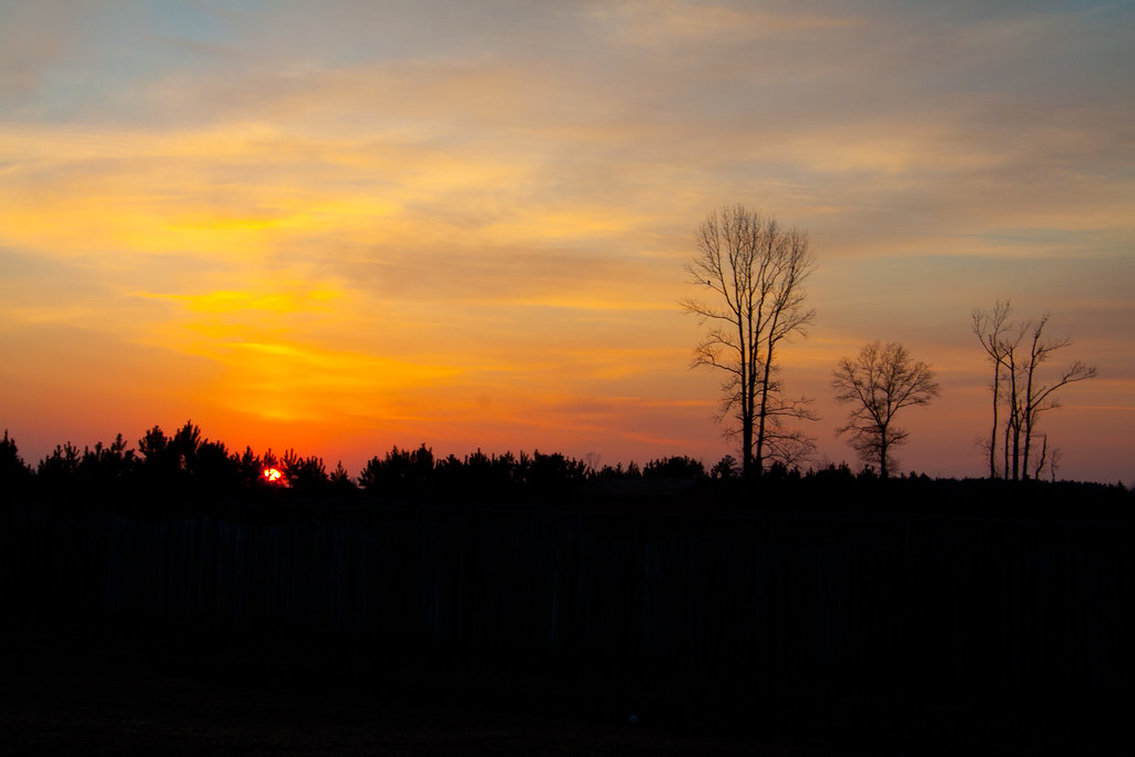
Sunrise-31-2.jpg
Sunrise-34-2.jpg

Dismal Swamp State Park, North Carolina.
Dismal Swamp Canal
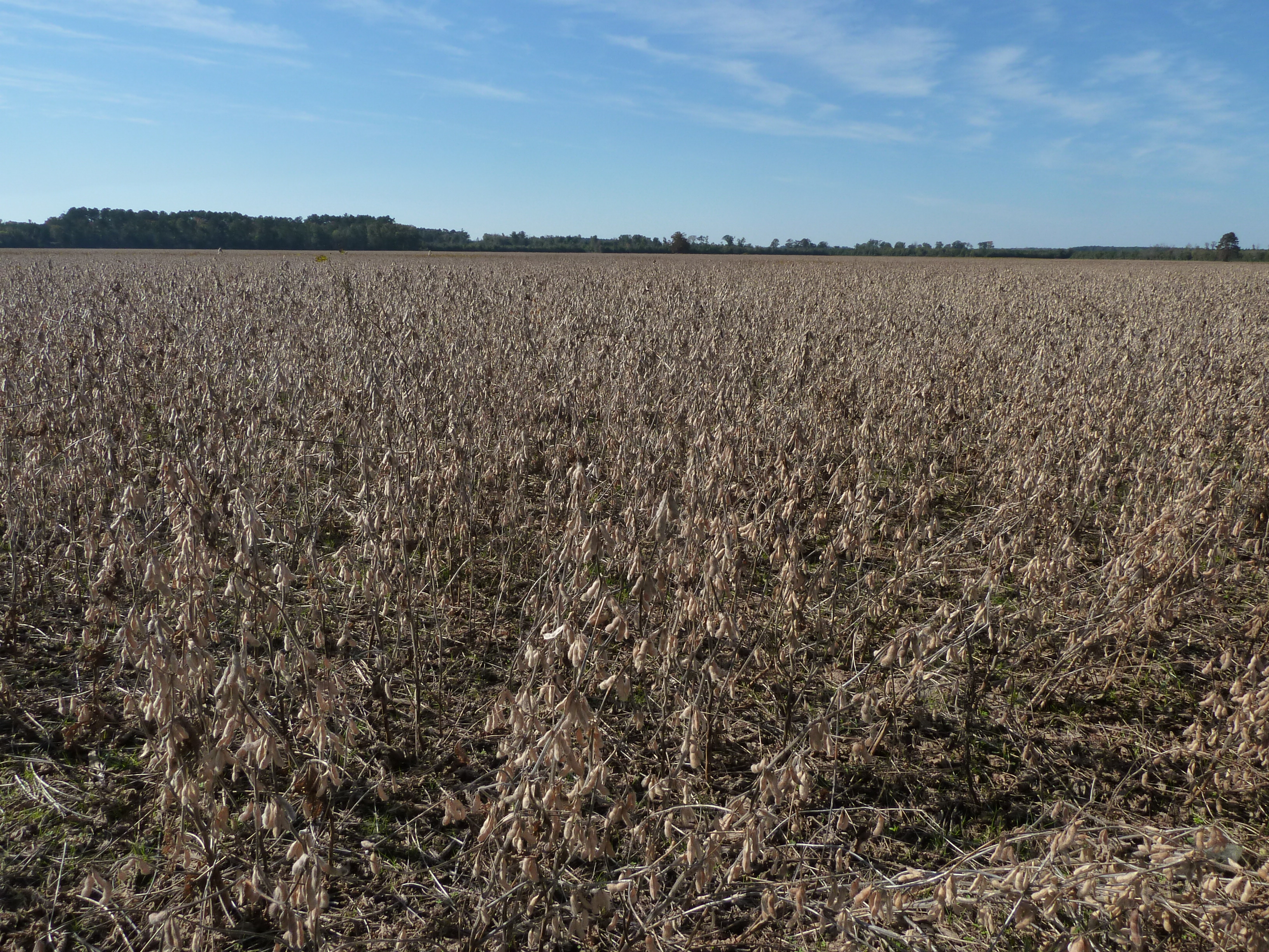
Soybeans in southern Virginia

Ocean music
Topographic Map of N Carolina Hwy S, South Mills, NC, USA
Find elevation by address:

Places near N Carolina Hwy S, South Mills, NC, USA:
108 Deberry Ln
850 Puddin Ridge Rd
Old Swamp Rd, South Mills, NC, USA
Tar Corner
101 Woodrows Dr
120 Christophers Way
Guinea Mill Run Canal
274 Oxford Rd
547 S Mills Rd
Northwest Backwoods Road
291 Green View Rd
111 David Ct
Eagle Creek Golf Club And Grill
100 Bridle Ct
321 Puddin Ridge Rd
142 Quail Run Rd
105 Streamdale Ct
155 Survey Rd
Moyock
Moyock
Recent Searches:
- Elevation of Congressional Dr, Stevensville, MD, USA
- Elevation of Bellview Rd, McLean, VA, USA
- Elevation of Stage Island Rd, Chatham, MA, USA
- Elevation of Shibuya Scramble Crossing, 21 Udagawacho, Shibuya City, Tokyo -, Japan
- Elevation of Jadagoniai, Kaunas District Municipality, Lithuania
- Elevation of Pagonija rock, Kranto 7-oji g. 8"N, Kaunas, Lithuania
- Elevation of Co Rd 87, Jamestown, CO, USA
- Elevation of Tenjo, Cundinamarca, Colombia
- Elevation of Côte-des-Neiges, Montreal, QC H4A 3J6, Canada
- Elevation of Bobcat Dr, Helena, MT, USA