Elevation of Bridle Ct, Moyock, NC, USA
Location: United States > North Carolina > Currituck County > Moyock > Moyock >
Longitude: -76.162315
Latitude: 36.489568
Elevation: 3m / 10feet
Barometric Pressure: 101KPa
Elevation Map:
Satellite Map:
Related Photos:
Blackwater 025

NORTH CAROLINA: CAMDEN COUNTY: SOUTH MILLS: view north from the South Mills Bridge

NORTH CAROLINA: CAMDEN COUNTY: SOUTH MILLS: Nosay House (1846), allegedly used as a hospital during the Civil War rear view

NORTH CAROLINA: CAMDEN COUNTY: SOUTH MILLS: Pentecostal House of Prayer, 410 Old Swamp Road (NC 1224) side view

z2013-09-11 (22) Currituck County NC
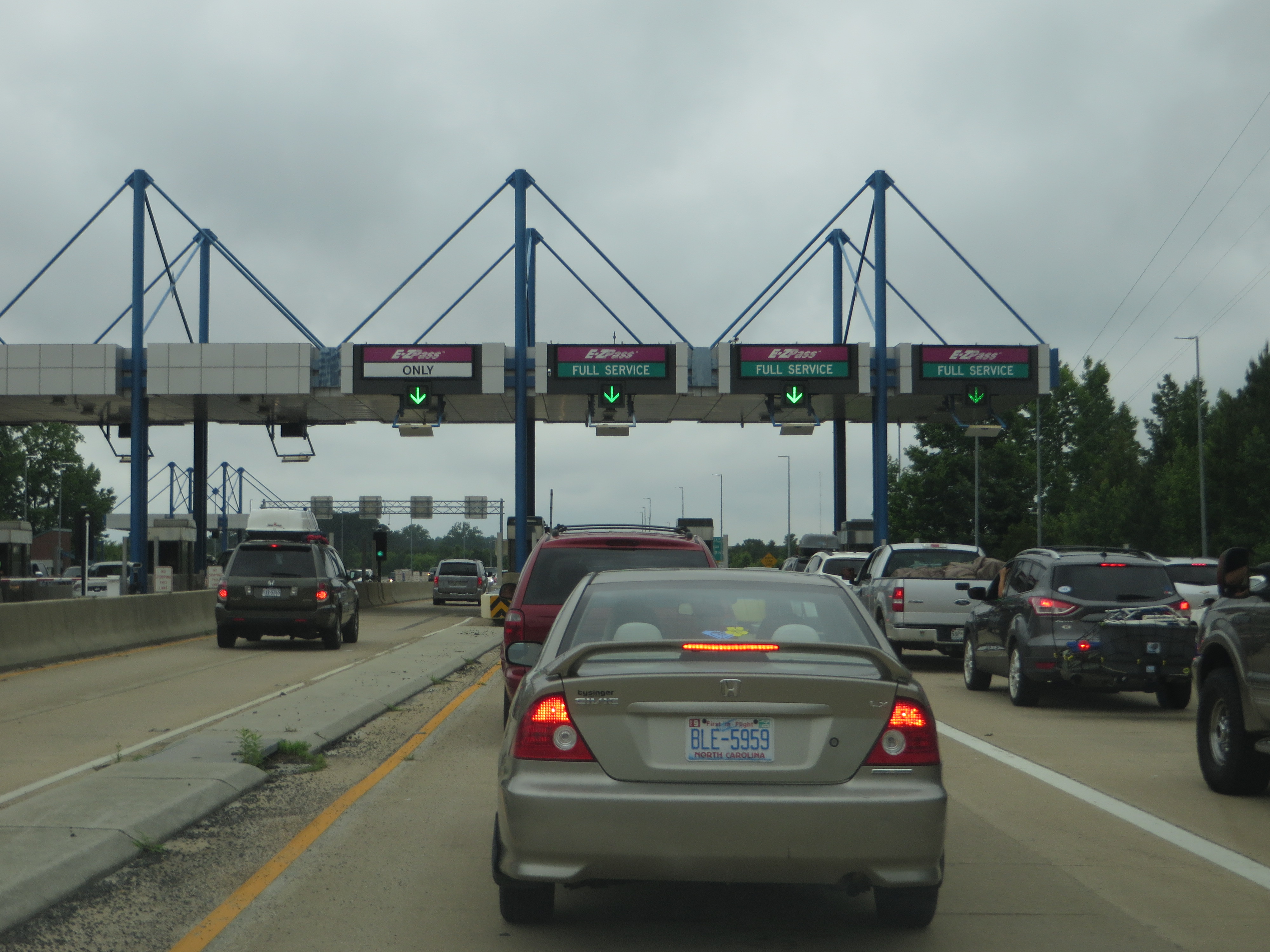
Chesapeake Expressway, Chesapeake, Virginia en route to Hampton Roads, Virginia
Chesapeake Expressway, Chesapeake, Virginia en route to Outer Banks, North Carolina
Squirrels eye view

NORTH CAROLINA: CAMDEN COUNTY: SOUTH MILLS: McBride United Methodist Church, 228 Old Swamp Road (NC 1224) nearer view
Labor Day Camping Trip - view from campsite
Indian Creek Horizontal Crop
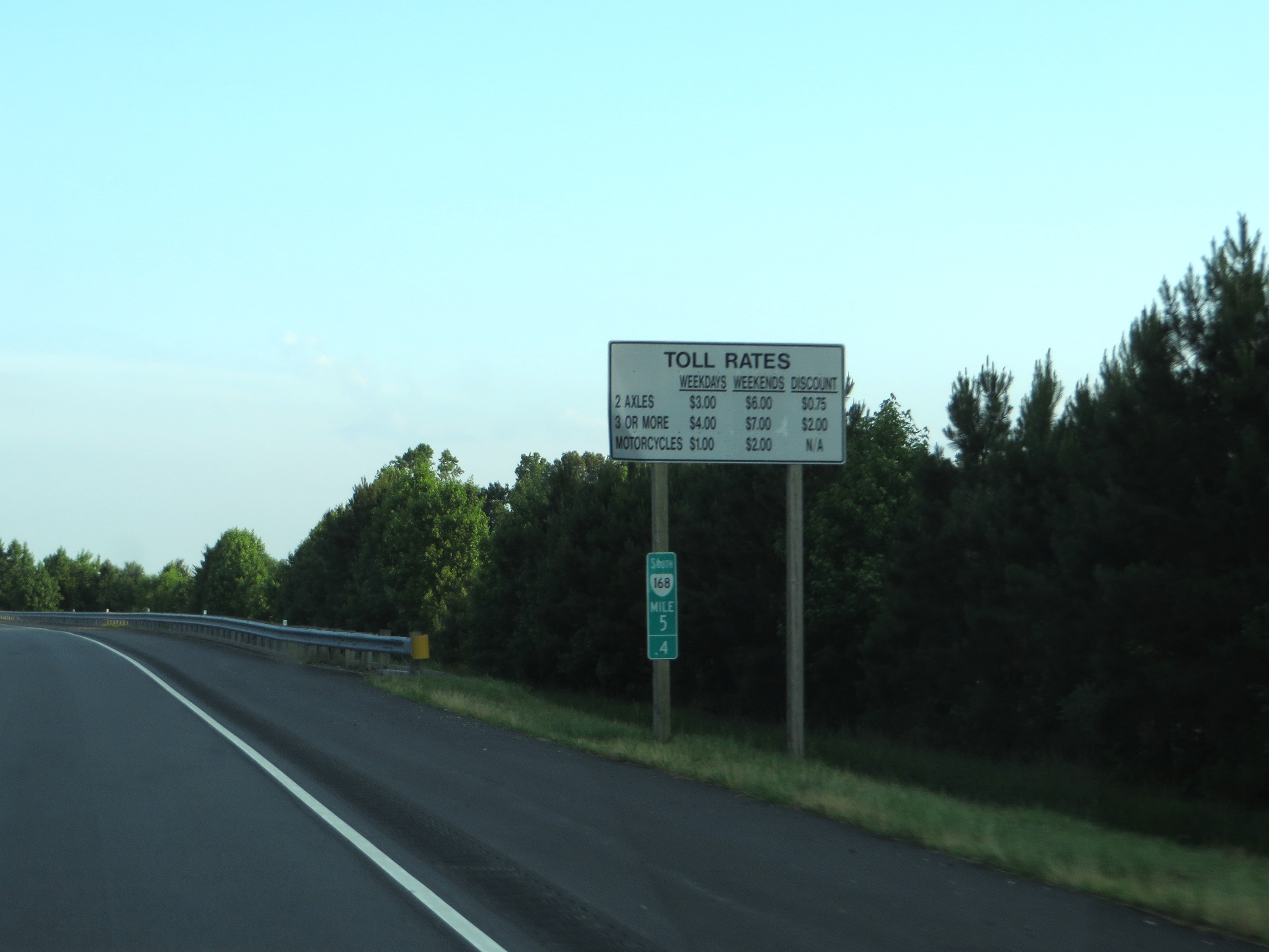
Caratoke Highway (North Carolina Highway 168), Currituck, North Carolina

Labor Day Camping Trip - Sunset from North Landing Beach

_MG_4397_8_9_tonemapped.jpg

Storms moving through

Last Days of Summer
Sunrise-34-2.jpg
Field Of Dreams

Outer Banks Trip

DSCN4655.JPG
DSCN4649.JPG

Knott's Island Camping Trip

Munden Point Park

IMG_1749.jpg
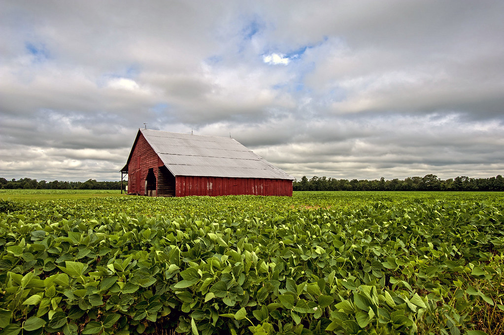
Soybeans in southern Virginia
DSCN4652.JPG
3000 North Carolina Img_17594
Dismal Swamp, VA
Dismal Swamp, VA
Topographic Map of Bridle Ct, Moyock, NC, USA
Find elevation by address:

Places near Bridle Ct, Moyock, NC, USA:
291 Green View Rd
Eagle Creek Golf Club And Grill
155 Survey Rd
274 Oxford Rd
Moyock
142 Quail Run Rd
Guinea Mill Run Canal
321 Puddin Ridge Rd
105 Streamdale Ct
Roland Creek
100 Whistling Duck Ct
102 Whistling Duck Ct
130 Rowland Creek Rd
Moyock
164 Guinea Mill Rd
579 Tulls Creek Rd
200 Guinea Rd
227 Moyock Landing Dr
110 Applewood Dr
Applewood Drive
Recent Searches:
- Elevation of 62 Abbey St, Marshfield, MA, USA
- Elevation of Fernwood, Bradenton, FL, USA
- Elevation of Felindre, Swansea SA5 7LU, UK
- Elevation of Leyte Industrial Development Estate, Isabel, Leyte, Philippines
- Elevation of W Granada St, Tampa, FL, USA
- Elevation of Pykes Down, Ivybridge PL21 0BY, UK
- Elevation of Jalan Senandin, Lutong, Miri, Sarawak, Malaysia
- Elevation of Bilohirs'k
- Elevation of 30 Oak Lawn Dr, Barkhamsted, CT, USA
- Elevation of Luther Road, Luther Rd, Auburn, CA, USA