Elevation of N Buena Vista, Gold Beach, OR, USA
Location: United States > Oregon > Curry County > Gold Beach >
Longitude: -124.41801
Latitude: 42.3847141
Elevation: 68m / 223feet
Barometric Pressure: 101KPa
Elevation Map:
Satellite Map:
Related Photos:
curious about my intentions

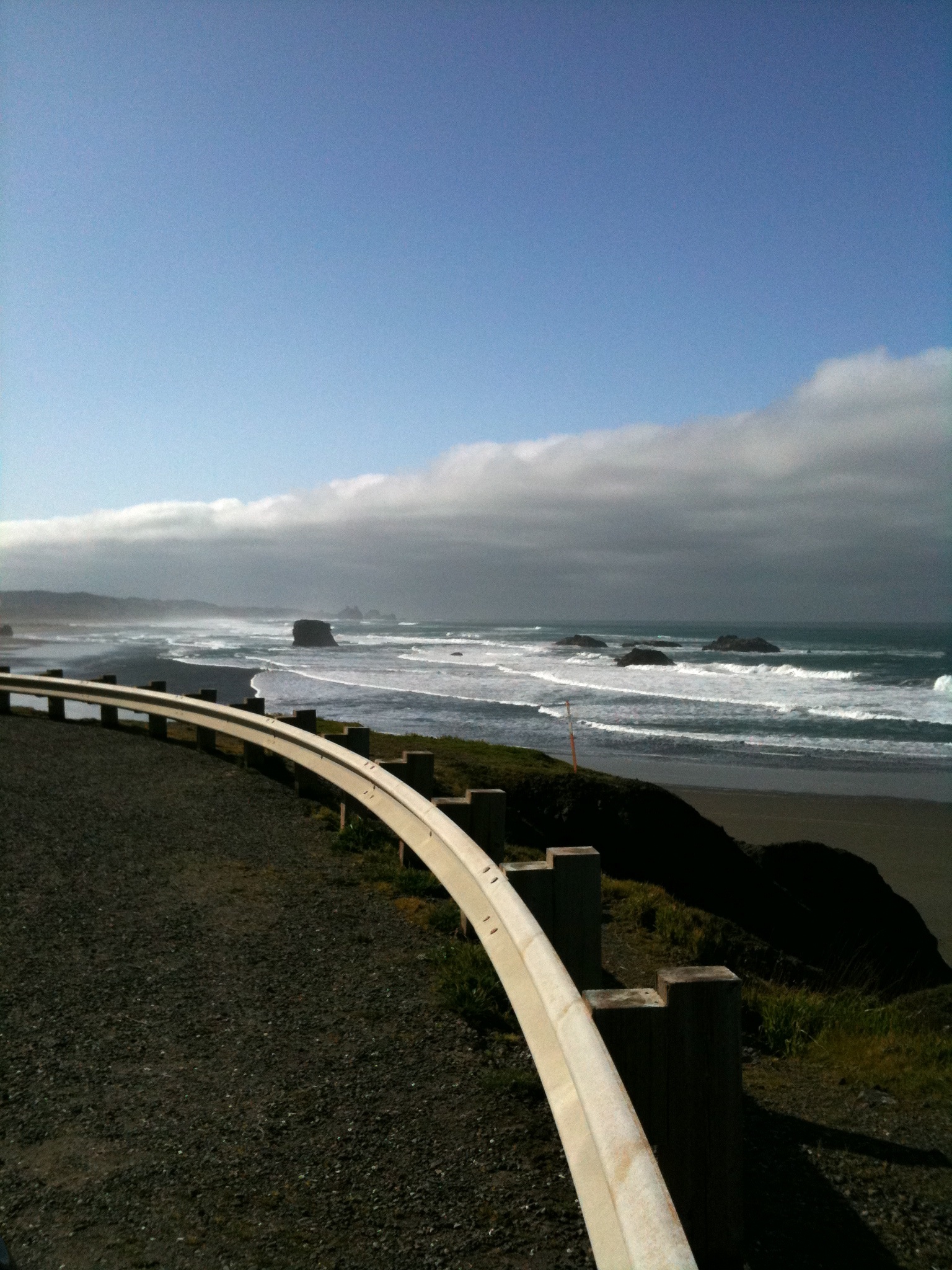
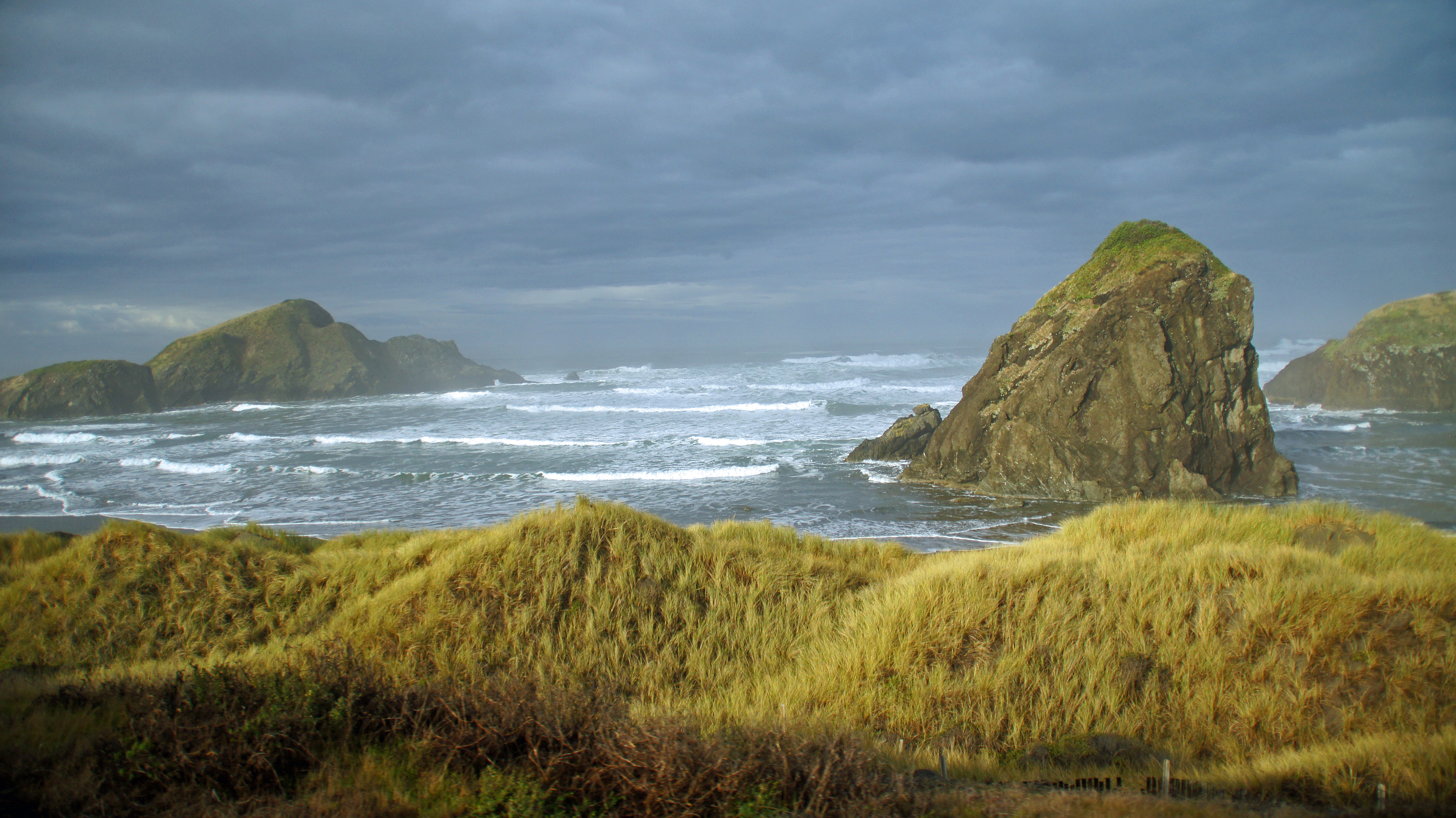
Day 3 - Rocks in Sea from Route 101 North
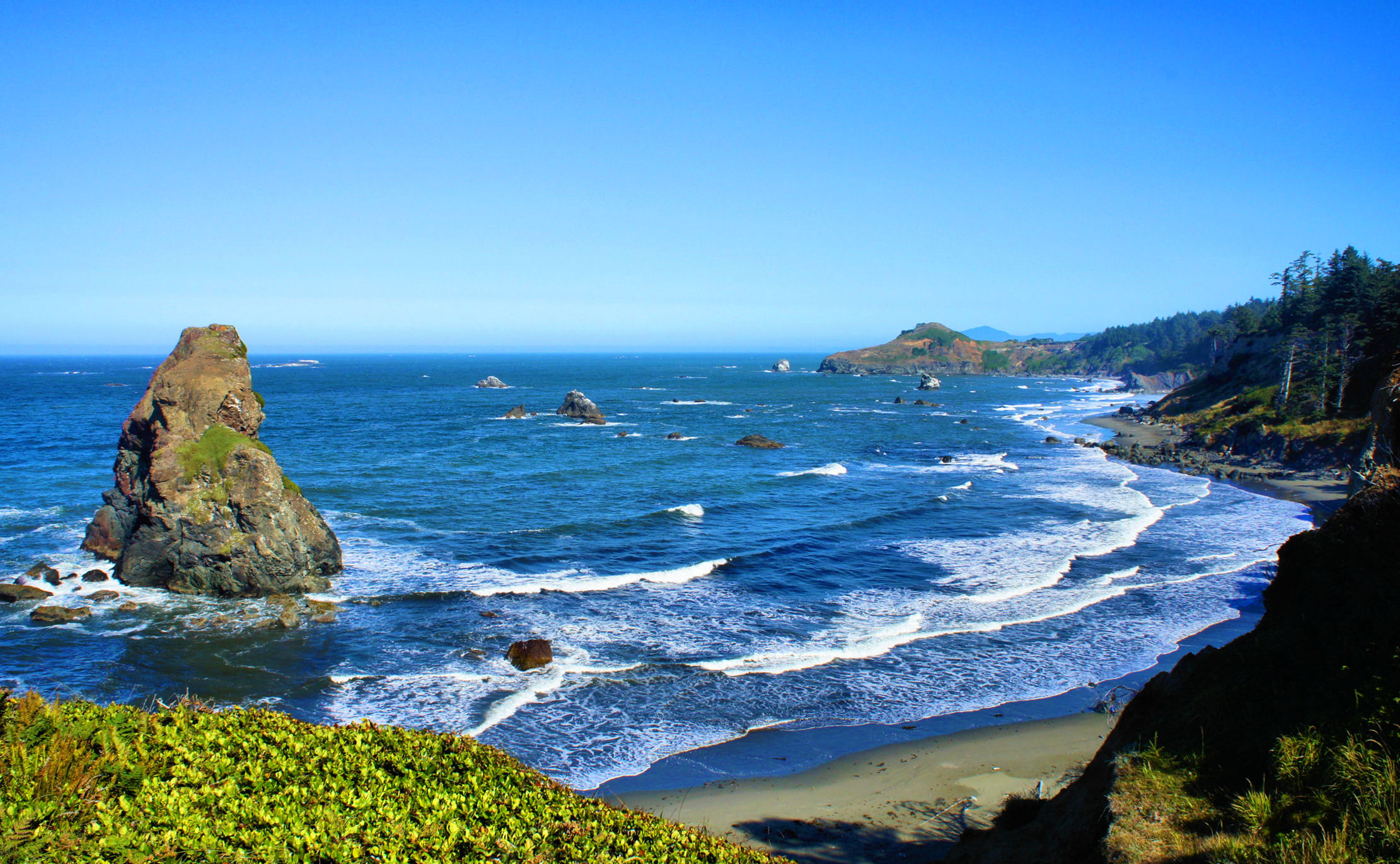
Gold Beach, Oregon

follow Blanca on Cape Sebastian

follow Blanca on Meyers Beach - six
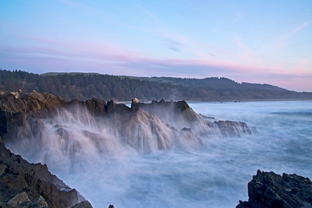
between the rocks
More Gold
follow Blanca on Meyers Beach - five (Morning Dance)
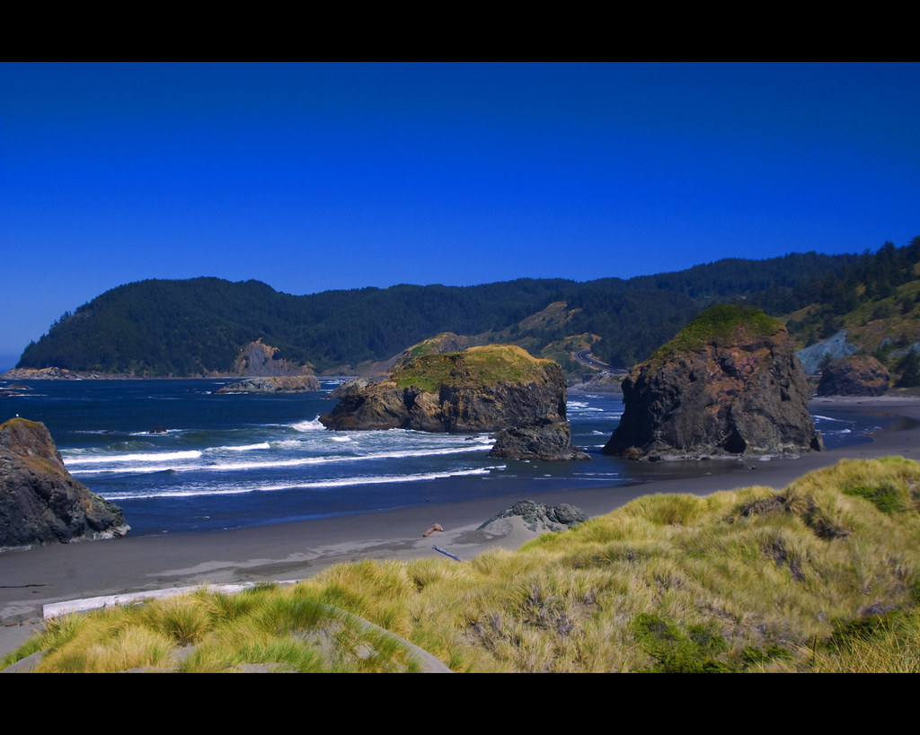
Between the Rocks

22:52 riding the chariot
35 Road through lower part of parcel 2
132 View form Parcel 2
Bridge View Estates Panorama 2
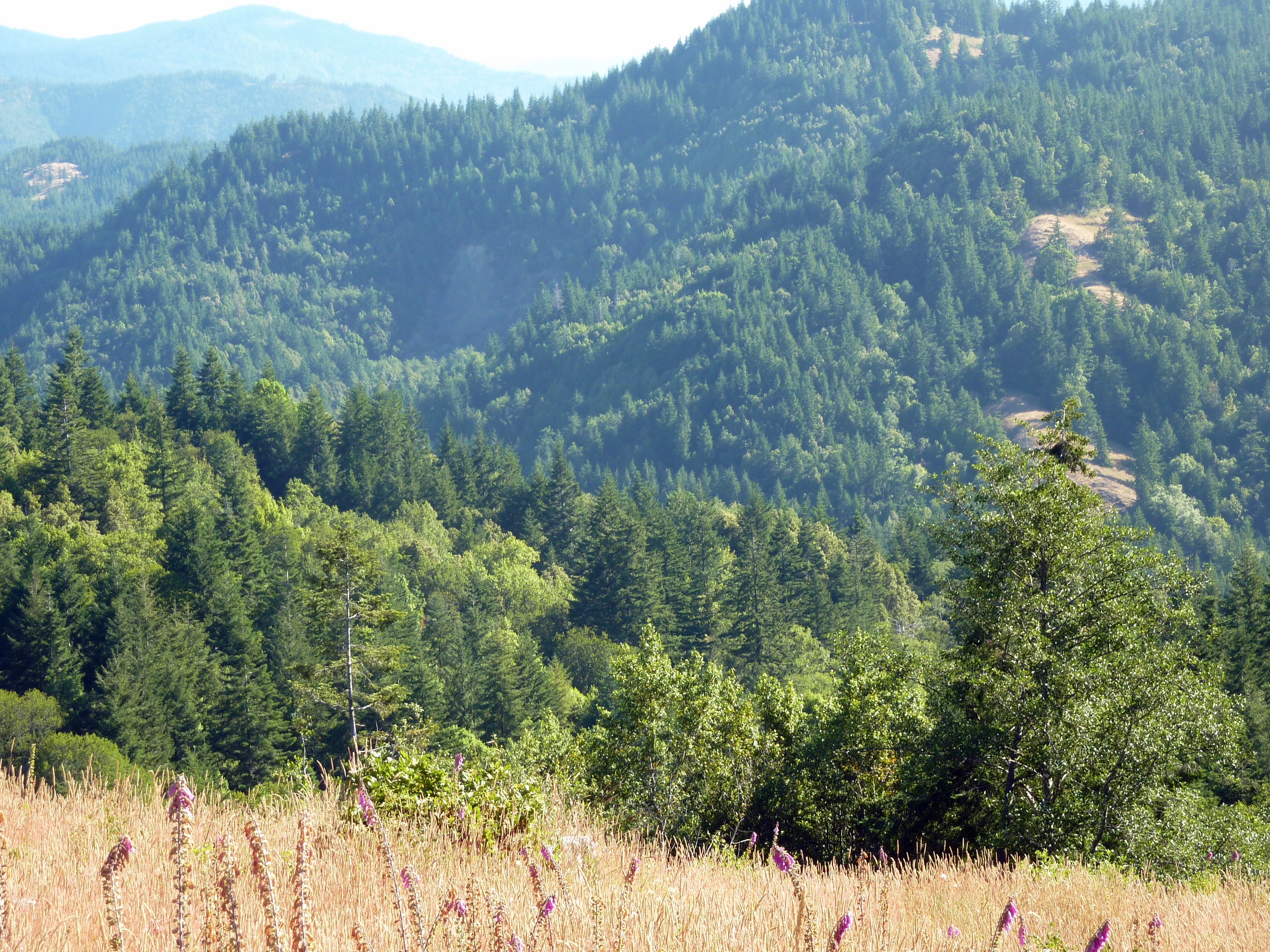
53 View of Mountains
Bridge View Estates Panorama 3
9 Foxglove (2)

The Mary D. Hume -- DSC00115
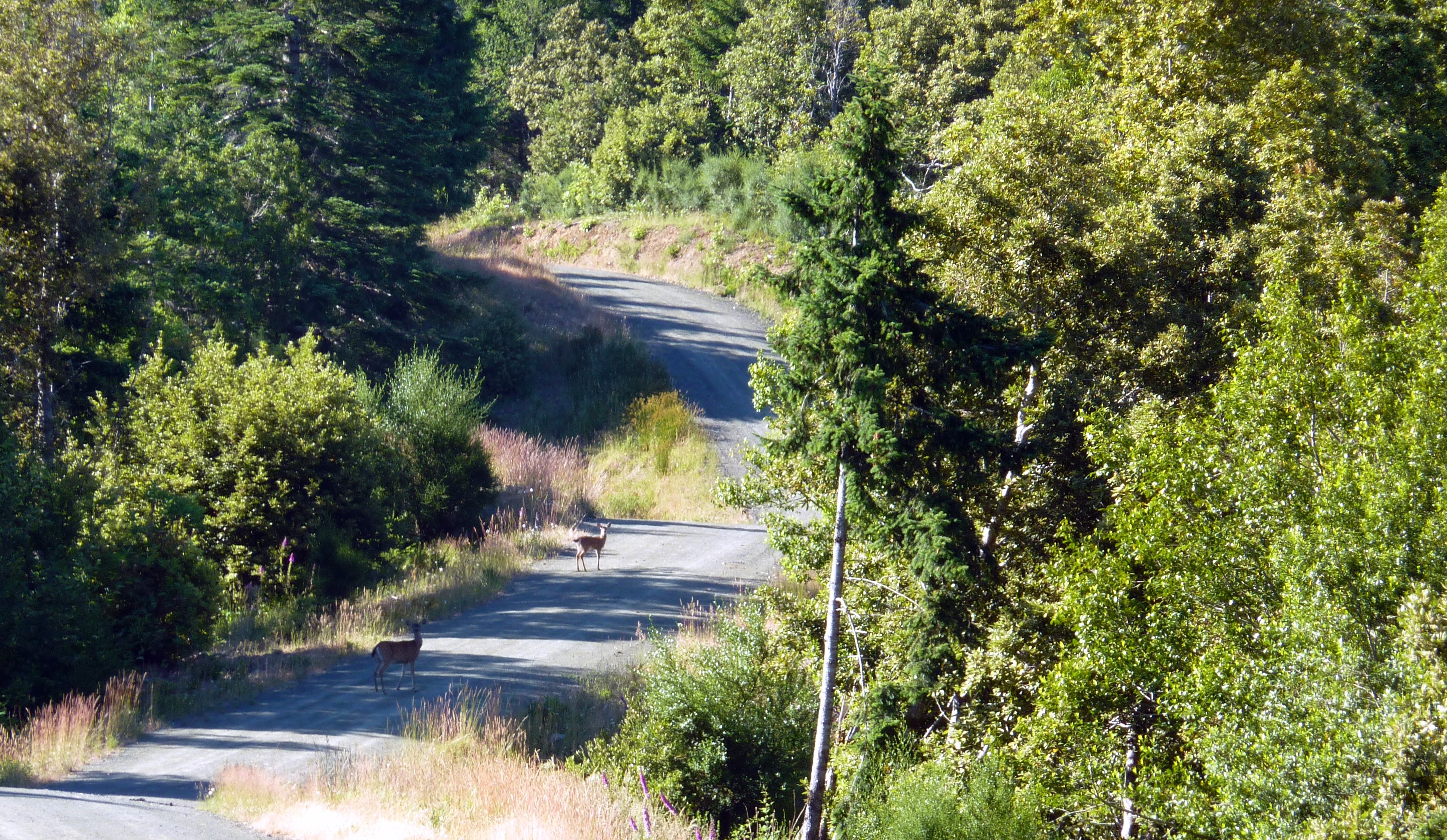
85 Deer on the road
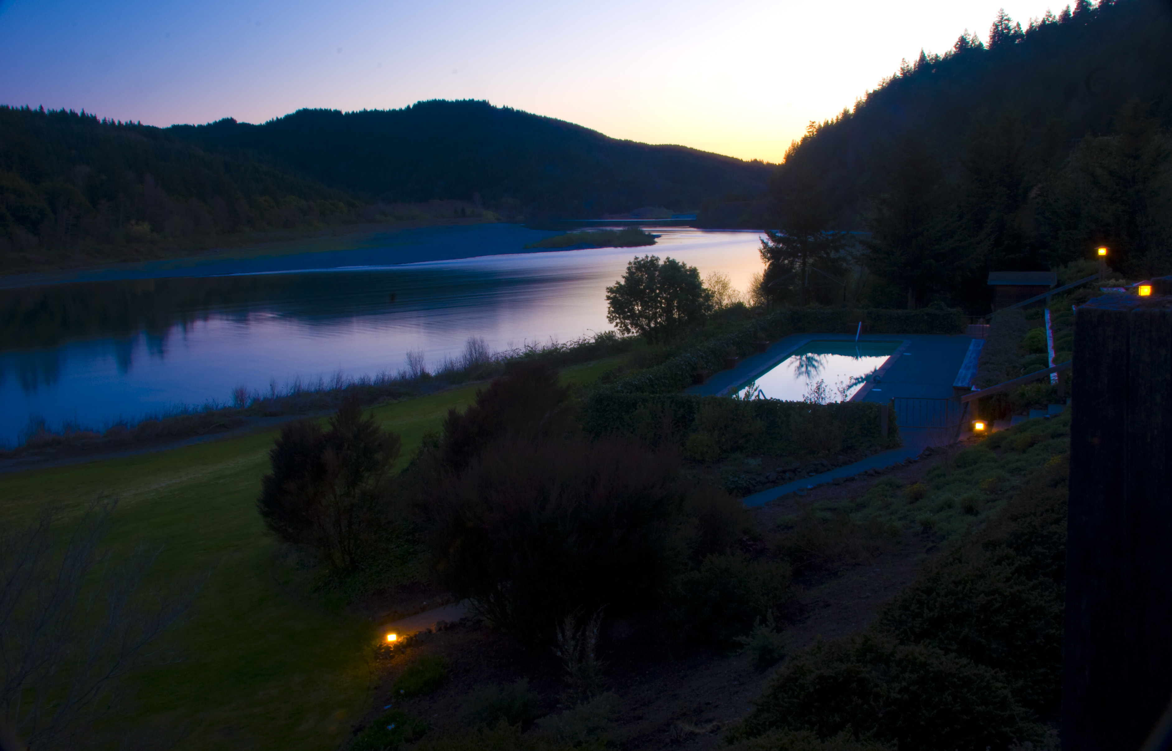
View of the Rogue from our room
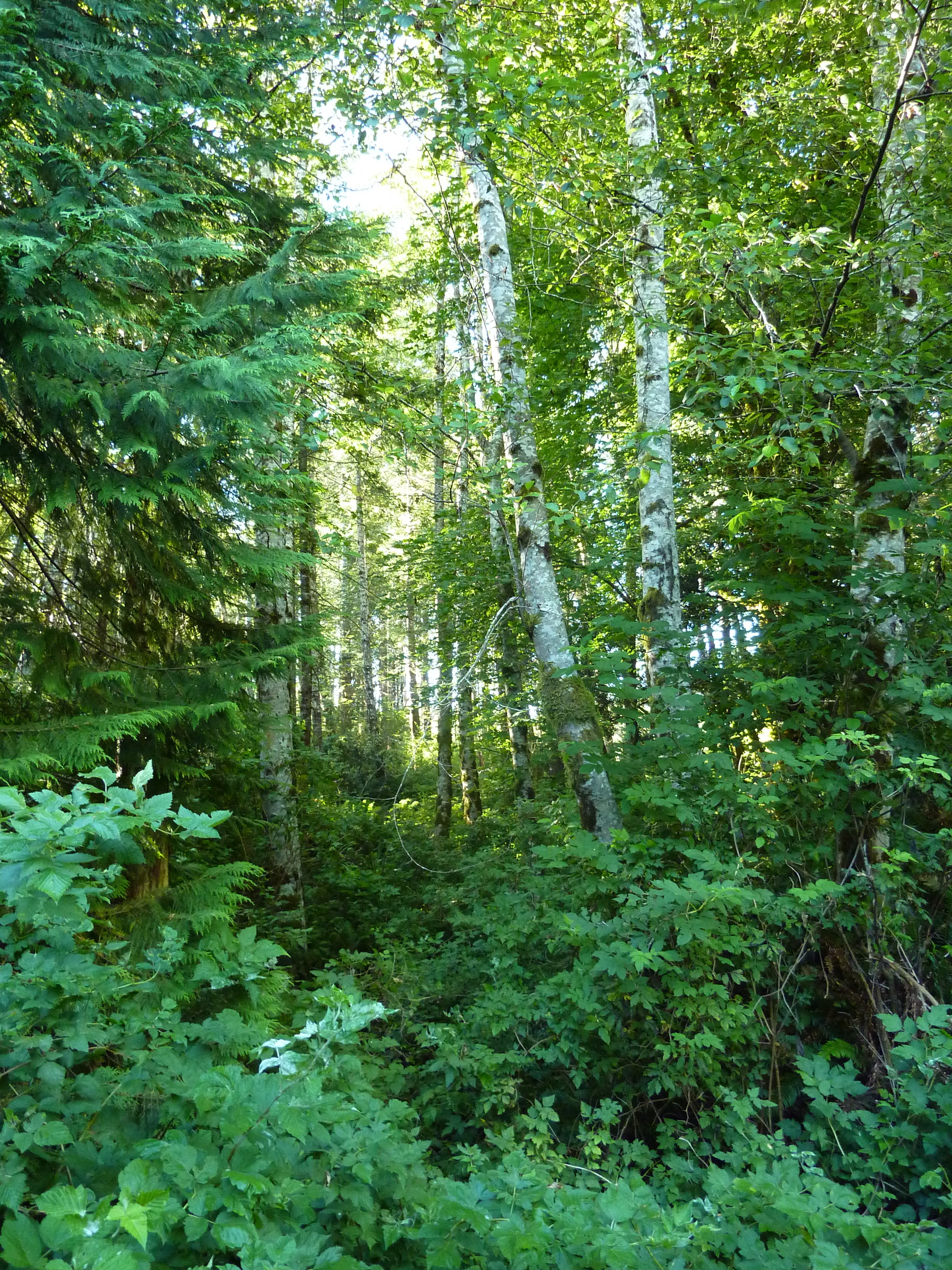
42 Forest Below Elk Meadow
94 Northeast Meadow View Parcel 3 (2)
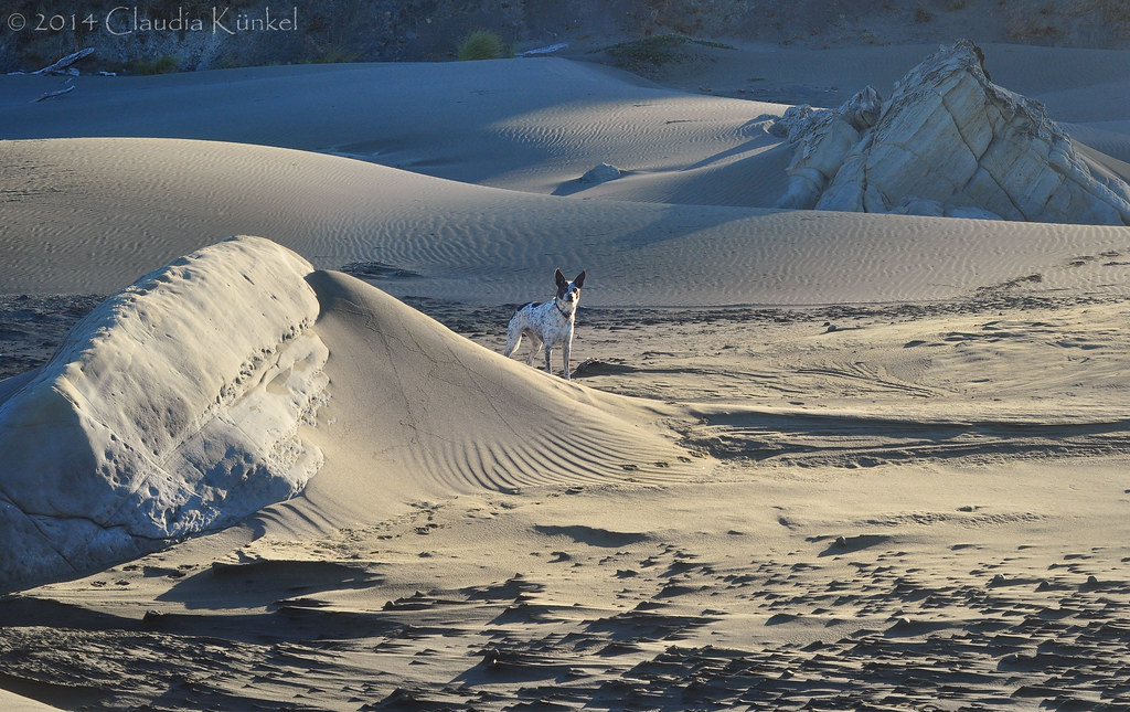
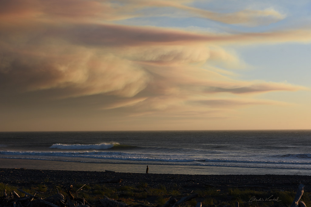
wind-sculpted beach
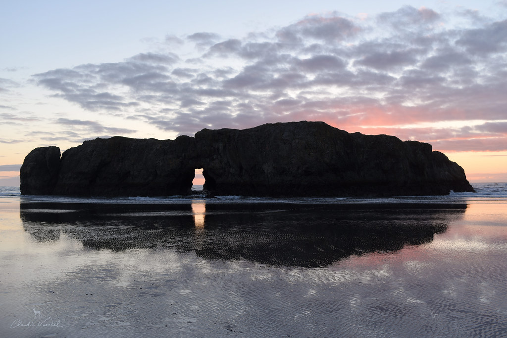
doorway to the other side

Myers Creek Beach, Oregon, 2017

A95I0280-1
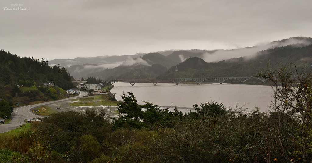
mouth of Rogue River, Oregon

Christmas Eve on the Oregon coast
the artist
Otter Point, OR

180331untitled-87456.6 ft

Before the breathing air is gone....

Standing in the Darkness
Looking south from this stop
So you can struggle in the water and be too stubborn to die, or you could just let go and be lifted to the sky.

Rock and Gold Sky
I could stay all day
110611_72_Move to Texas - Oregon Coast Hwy 101
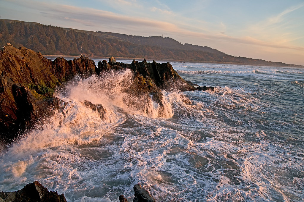
ocean waves on rocks

on the edge of the world
silent awe
ocean waves
Topographic Map of N Buena Vista, Gold Beach, OR, USA
Find elevation by address:

Places near N Buena Vista, Gold Beach, OR, USA:
North Buena Vista
28420 Hunter Creek Heights Rd
29735 Vera St
29735 Vera St
29735 Vera St
29735 Vera St
29401 Ellensburg Ave
Ellensburg Ave, Gold Beach, OR, USA
Gold Beach
94309 Coldiron Hill Rd
94245 Gauntlett St
94245 Gauntlett St
29901 Colvin St
29850 Harrison Ridge Rd
94433 Jerrys Flat Rd
94433 Jerrys Flat Rd
94593 Jerrys Flat Rd
94593 Jerrys Flat Rd
94288 Agate Way
Agate Beach
Recent Searches:
- Elevation of Great Brook Sports, Gold Star Hwy, Groton, CT, USA
- Elevation of 10 Mountain Laurels Dr, Nashua, NH, USA
- Elevation of 16 Gilboa Ln, Nashua, NH, USA
- Elevation of Laurel Rd, Townsend, TN, USA
- Elevation of 3 Nestling Wood Dr, Long Valley, NJ, USA
- Elevation of Ilungu, Tanzania
- Elevation of Yellow Springs Road, Yellow Springs Rd, Chester Springs, PA, USA
- Elevation of Rēzekne Municipality, Latvia
- Elevation of Plikpūrmaļi, Vērēmi Parish, Rēzekne Municipality, LV-, Latvia
- Elevation of 2 Henschke Ct, Caboolture QLD, Australia