Elevation of Agate Beach, Oregon, USA
Location: United States > Oregon > Curry County > Gold Beach >
Longitude: -124.42205
Latitude: 42.470666
Elevation: 1m / 3feet
Barometric Pressure: 101KPa
Elevation Map:
Satellite Map:
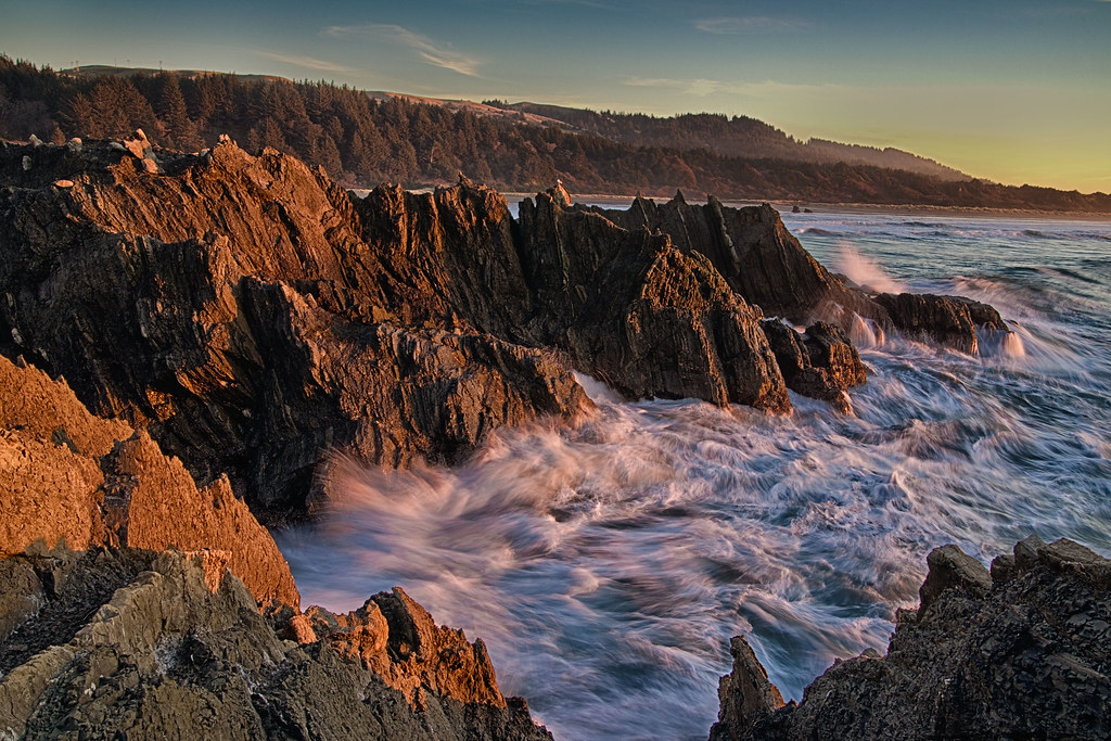
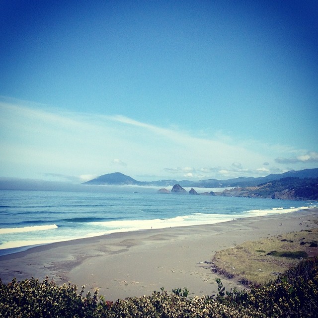
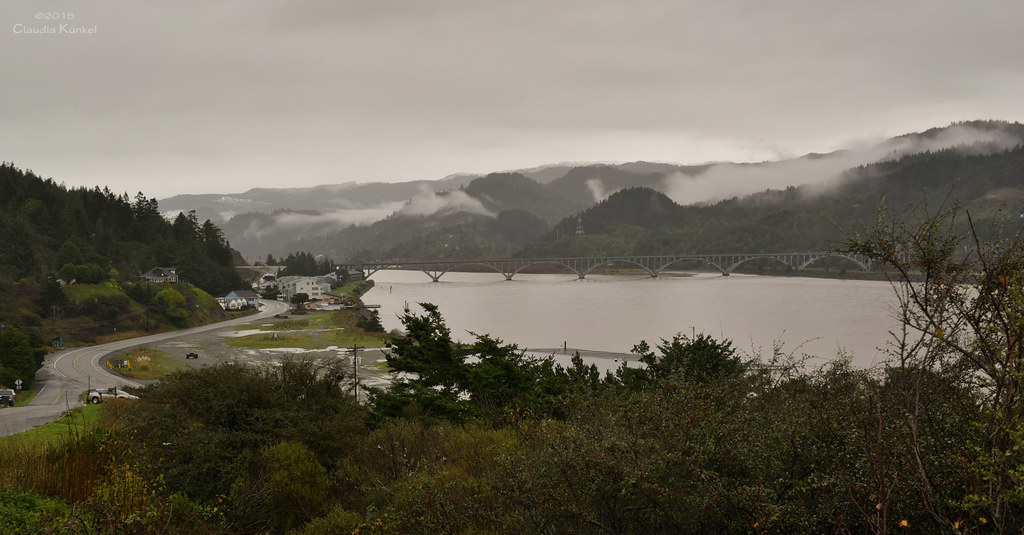
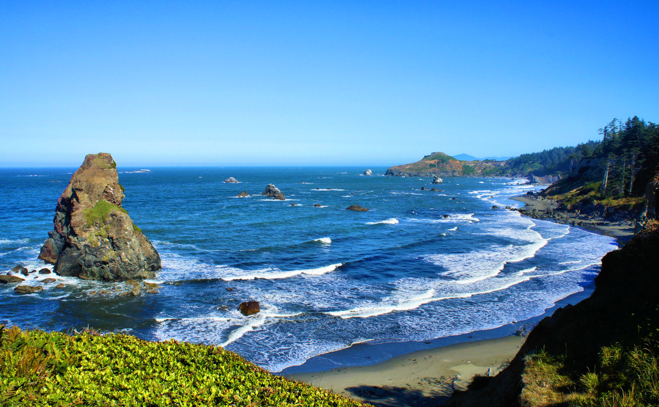
Related Photos:
curious about my intentions
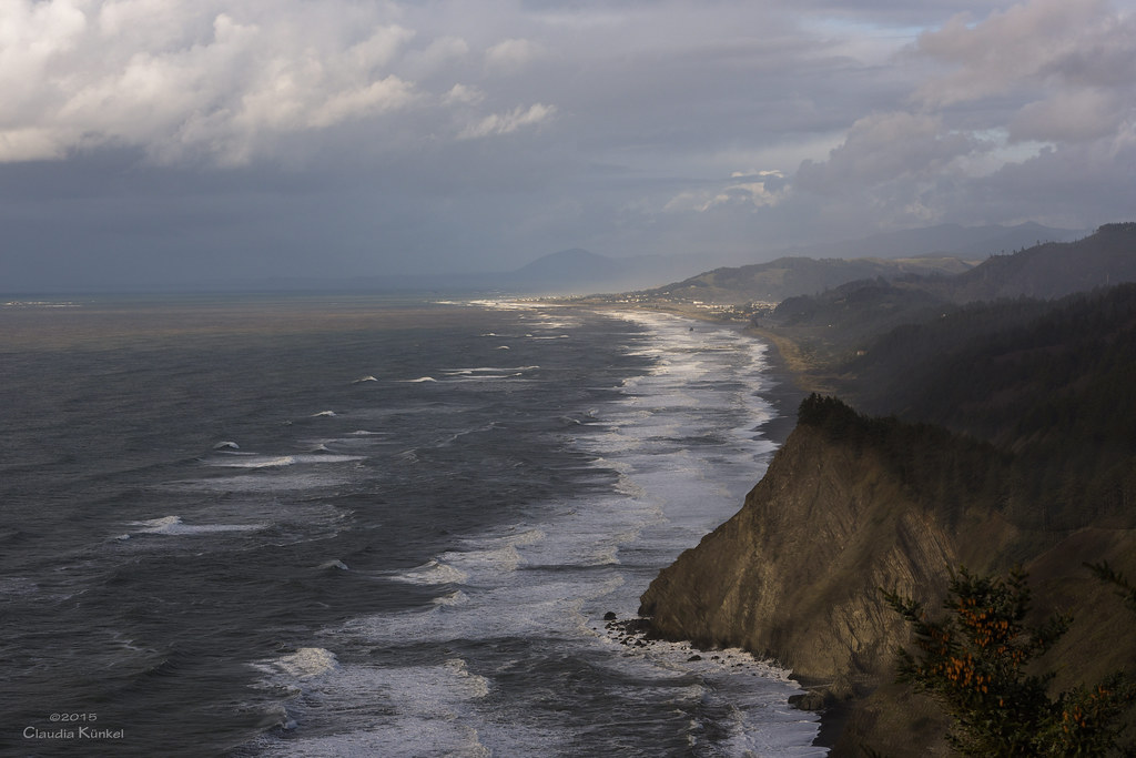
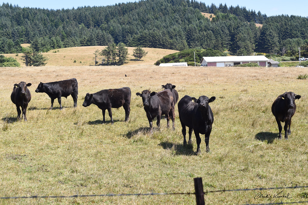
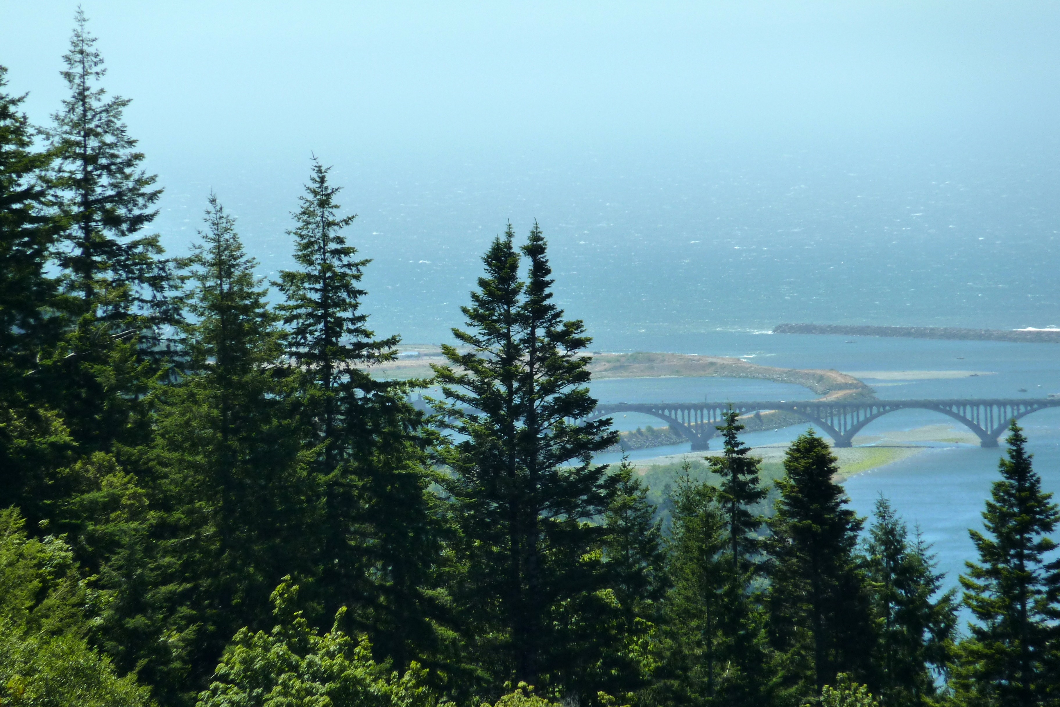
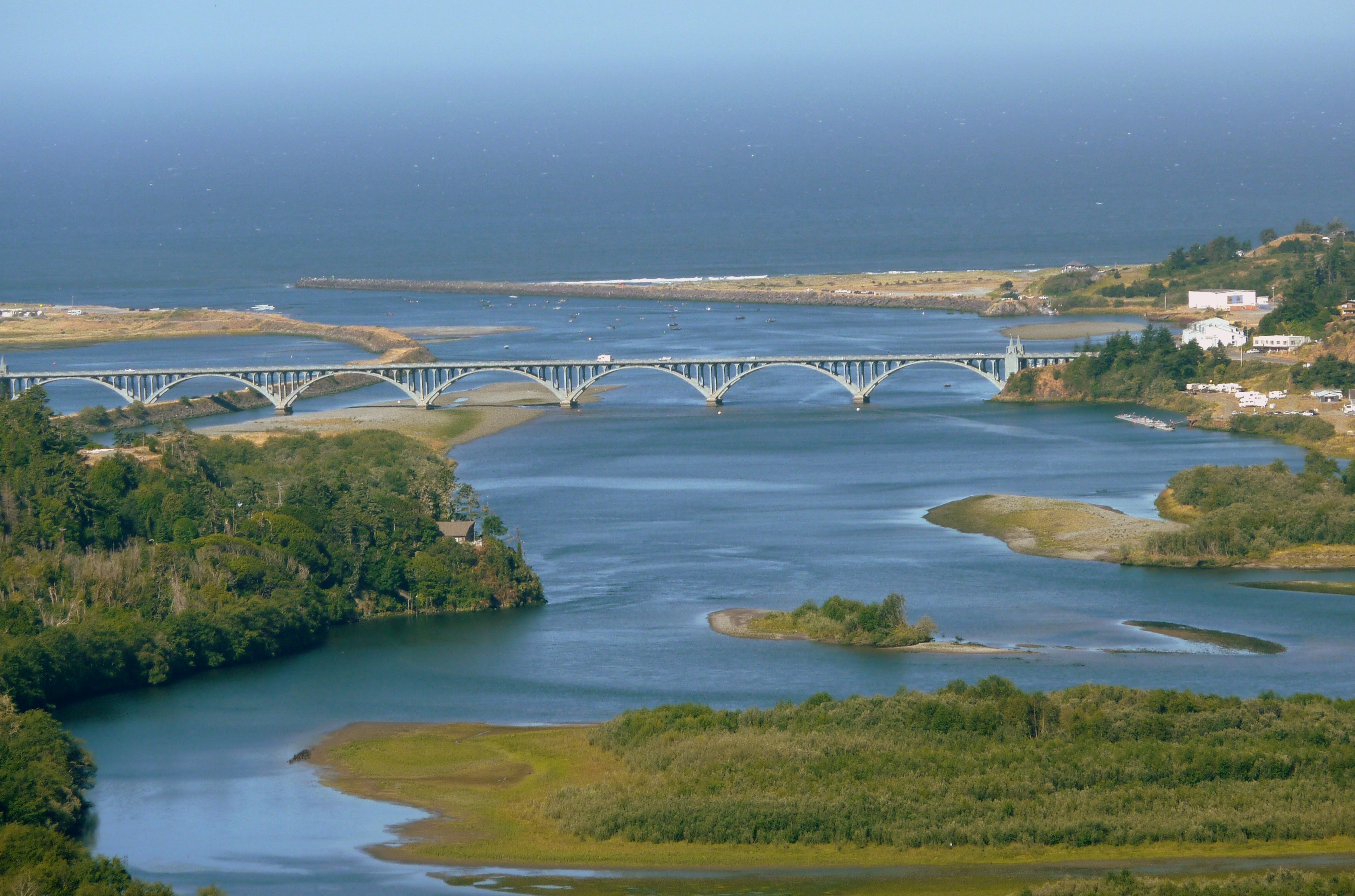
Gold Beach, Oregon
follow Blanca on Cape Sebastian

Gold Beach Real Estate | 30535 Sandy Dr
267 View
Day 3 - Rocks in Sea from Route 101 North
35 Road through lower part of parcel 2
Eeek! Dinosaur!
Bridge View Estates Panorama 1
132 View form Parcel 2
Dancing with Kim
Dinosaur!!!
Gold Beach Real Estate | 95241 Starkweather
Bridge View Estates Panorama 2
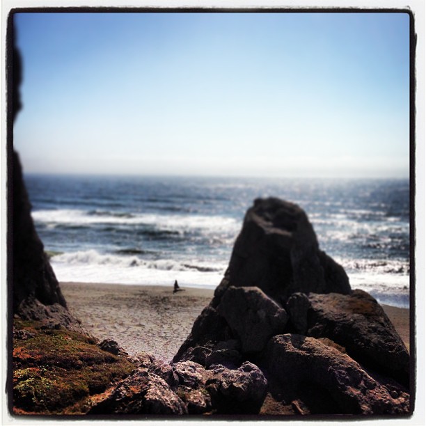
We were driving along the coast in Oregon and we saw this huge rock that looked like a sharks fin...and I had to climb it. This is my view.
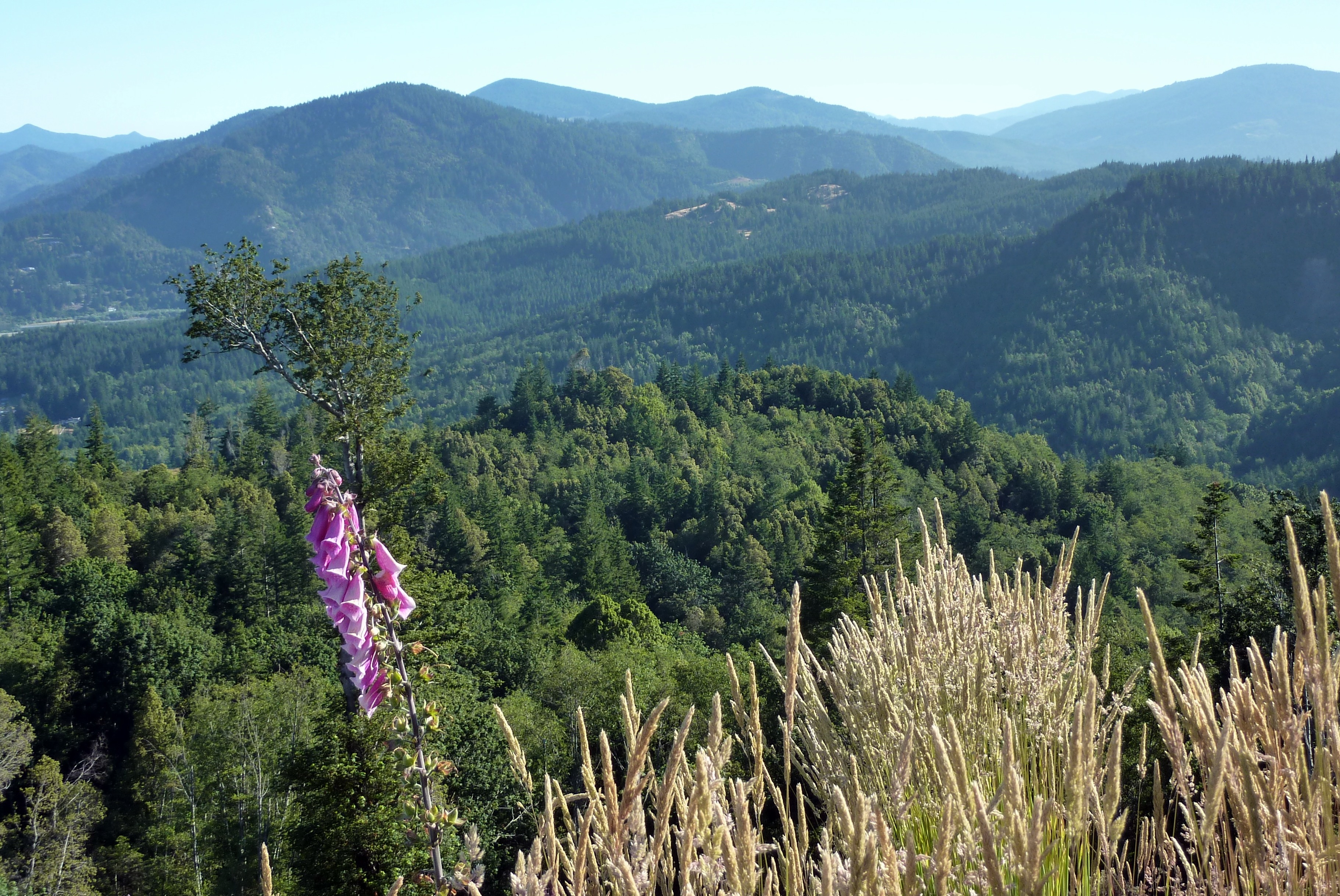
53 View of Mountains

Ophir - North View
View from our room
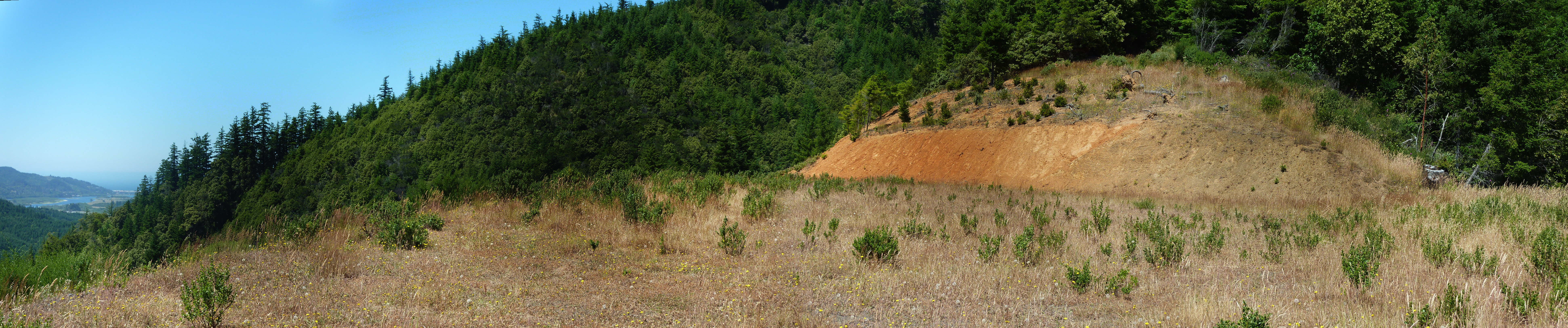
Bridge View Estates Panorama 3
The Mary D. Hume -- DSC00115
199 Kayaks on river Bank (2)
silent awe
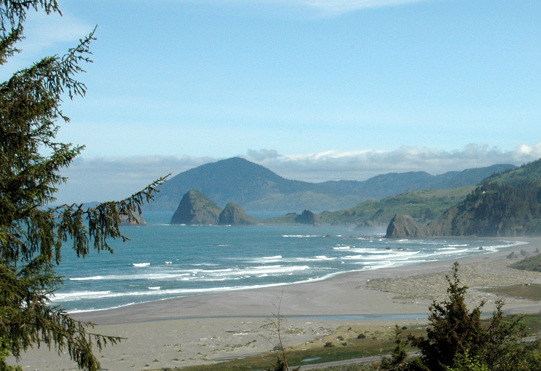
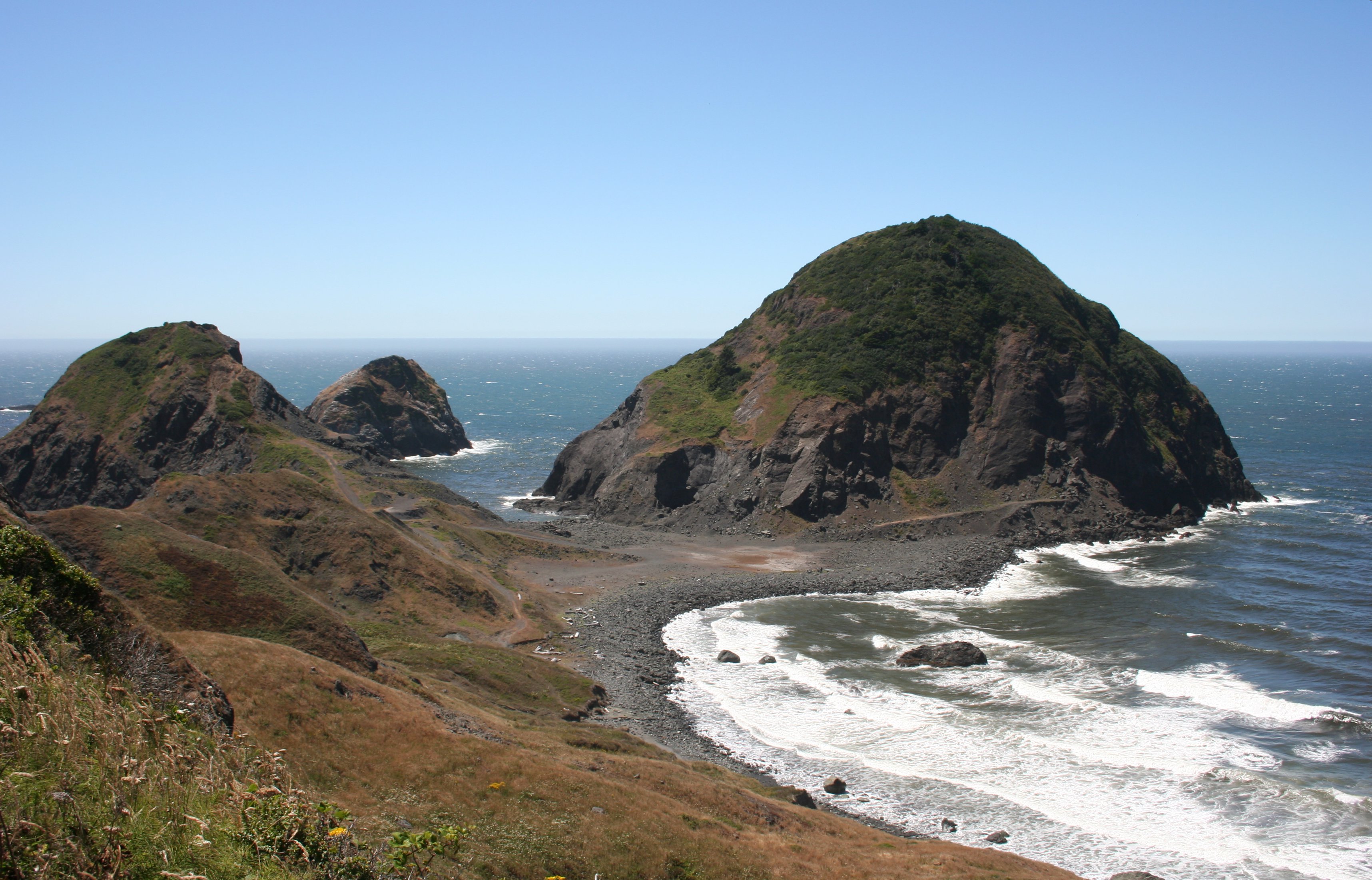
Otter Point

Giant tidal pools
Slow-going because everything is beautiful!
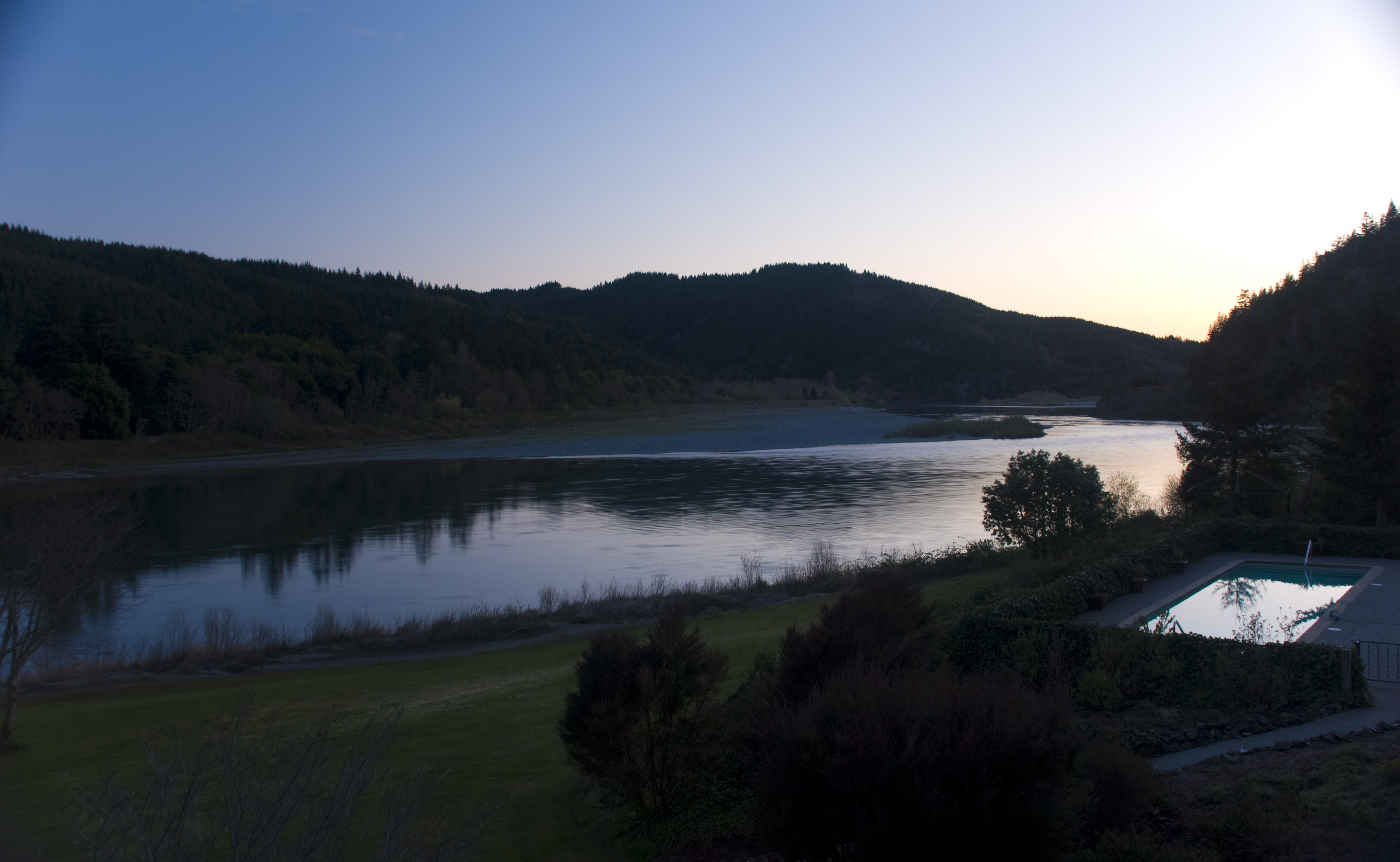
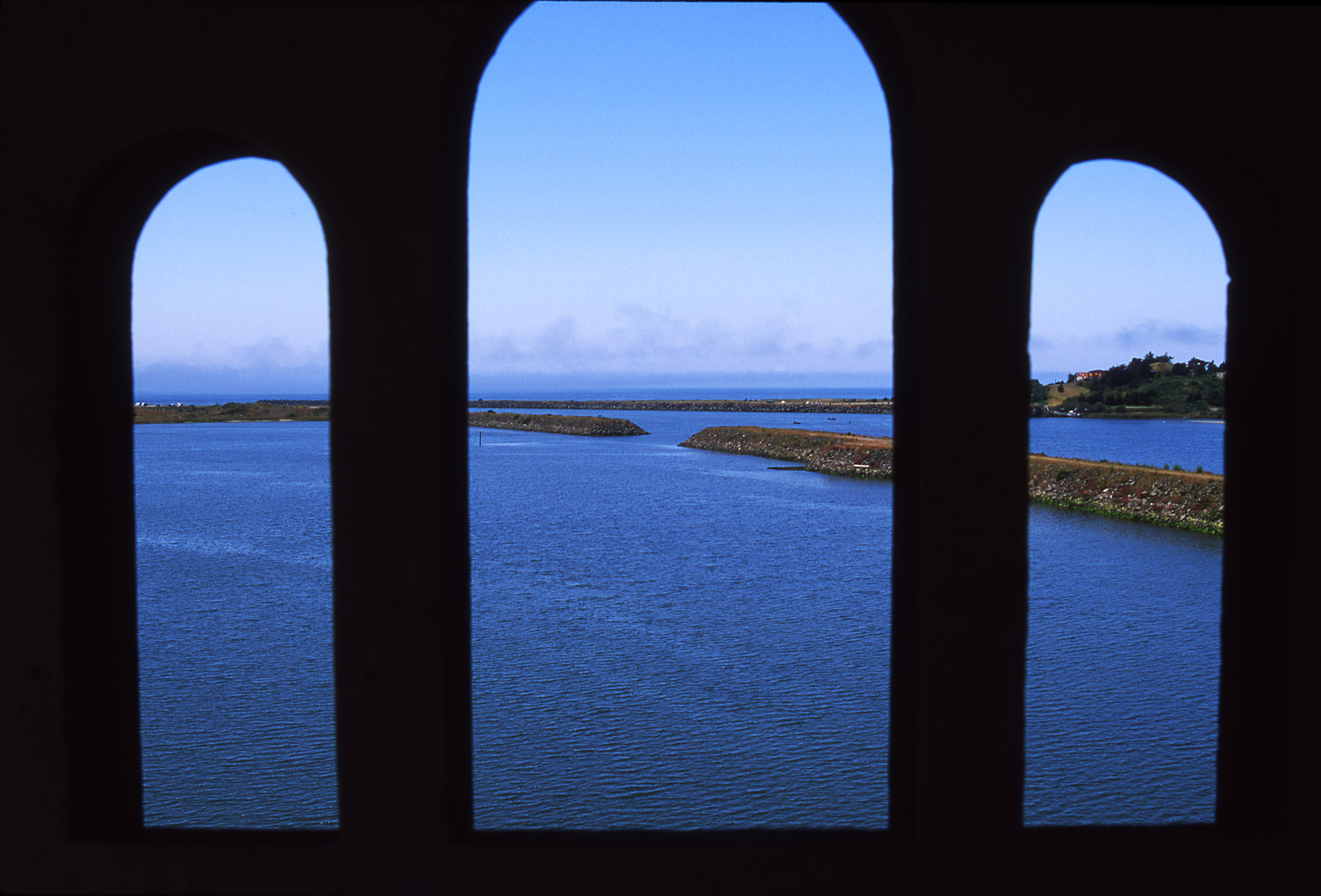
mouth of Rogue River, Oregon
Otter Point, OR
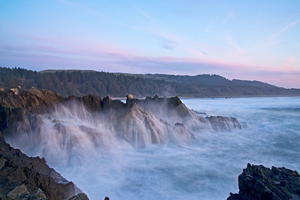
ocean waves on rocks
Kissing Rock Gold Beach Oregon
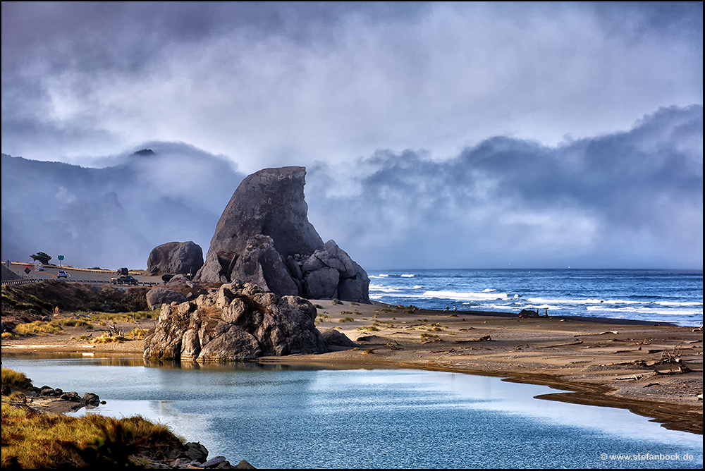
Sisters Rocks

Secret Beach 100k
Over the River
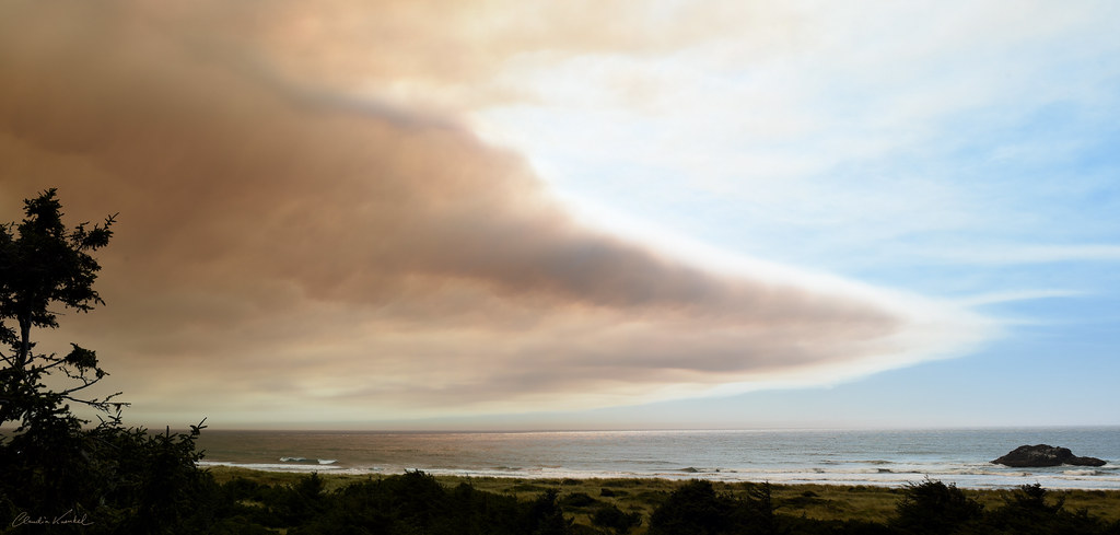
wildfire smoke
20180918-120743.jpg

Otter Point
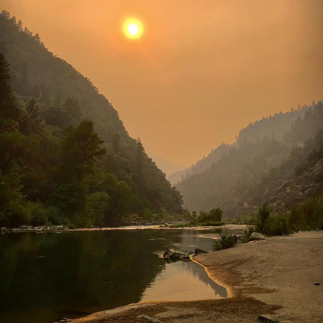
Oregon hellfire
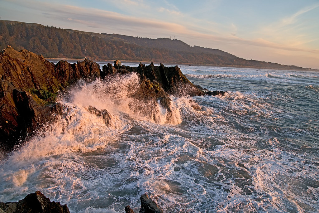
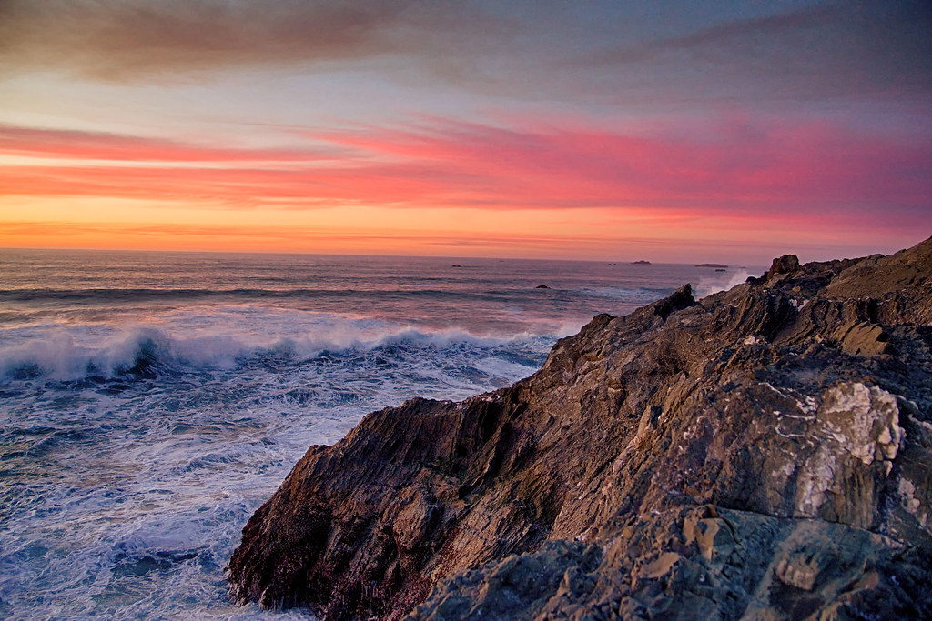
ocean waves
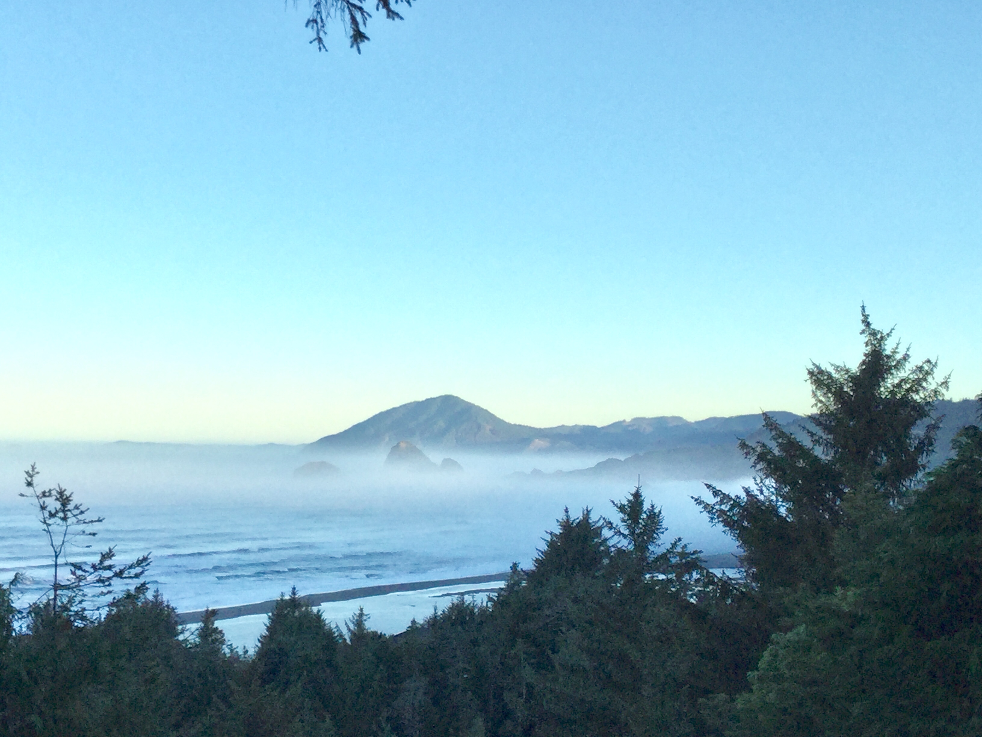
8:16 a.m.

Sisters Rocks
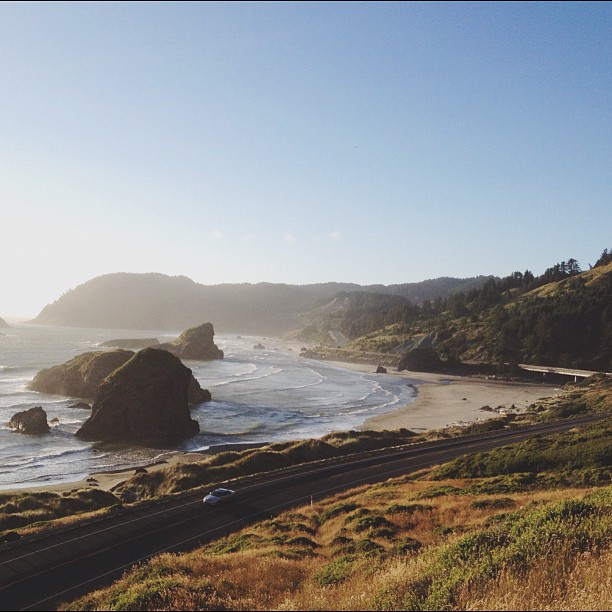
A motorist travels along hwy 101 in Gold Beach, OR
Otter Point
Topographic Map of Agate Beach, Oregon, USA
Find elevation by address:

Places near Agate Beach, Oregon, USA:
94288 Agate Way
95131 N Bank Rogue River Rd
Indian Hills Drive
94703 Adams Hill Rd
94593 Jerrys Flat Rd
94593 Jerrys Flat Rd
94433 Jerrys Flat Rd
94433 Jerrys Flat Rd
29901 Colvin St
29850 Harrison Ridge Rd
94245 Gauntlett St
94245 Gauntlett St
94309 Coldiron Hill Rd
Gold Beach
Ellensburg Ave, Gold Beach, OR, USA
29401 Ellensburg Ave
29735 Vera St
29735 Vera St
29735 Vera St
29735 Vera St
Recent Searches:
- Elevation of Laurel Rd, Townsend, TN, USA
- Elevation of 3 Nestling Wood Dr, Long Valley, NJ, USA
- Elevation of Ilungu, Tanzania
- Elevation of Yellow Springs Road, Yellow Springs Rd, Chester Springs, PA, USA
- Elevation of Rēzekne Municipality, Latvia
- Elevation of Plikpūrmaļi, Vērēmi Parish, Rēzekne Municipality, LV-, Latvia
- Elevation of 2 Henschke Ct, Caboolture QLD, Australia
- Elevation of Redondo Ave, Long Beach, CA, USA
- Elevation of Sadovaya Ulitsa, 20, Rezh, Sverdlovskaya oblast', Russia
- Elevation of Ulitsa Kalinina, 79, Rezh, Sverdlovskaya oblast', Russia