Elevation of N Bonaparte Rd, 70 Mile House, BC V0K 2K1, Canada
Location: Canada > British Columbia > Thompson-nicola > Thompson-nicola E > 70 Mile House >
Longitude: -121.39613
Latitude: 51.3040006
Elevation: 1086m / 3563feet
Barometric Pressure: 89KPa
Elevation Map:
Satellite Map:
Related Photos:
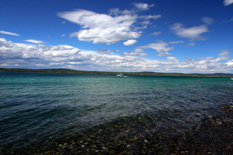
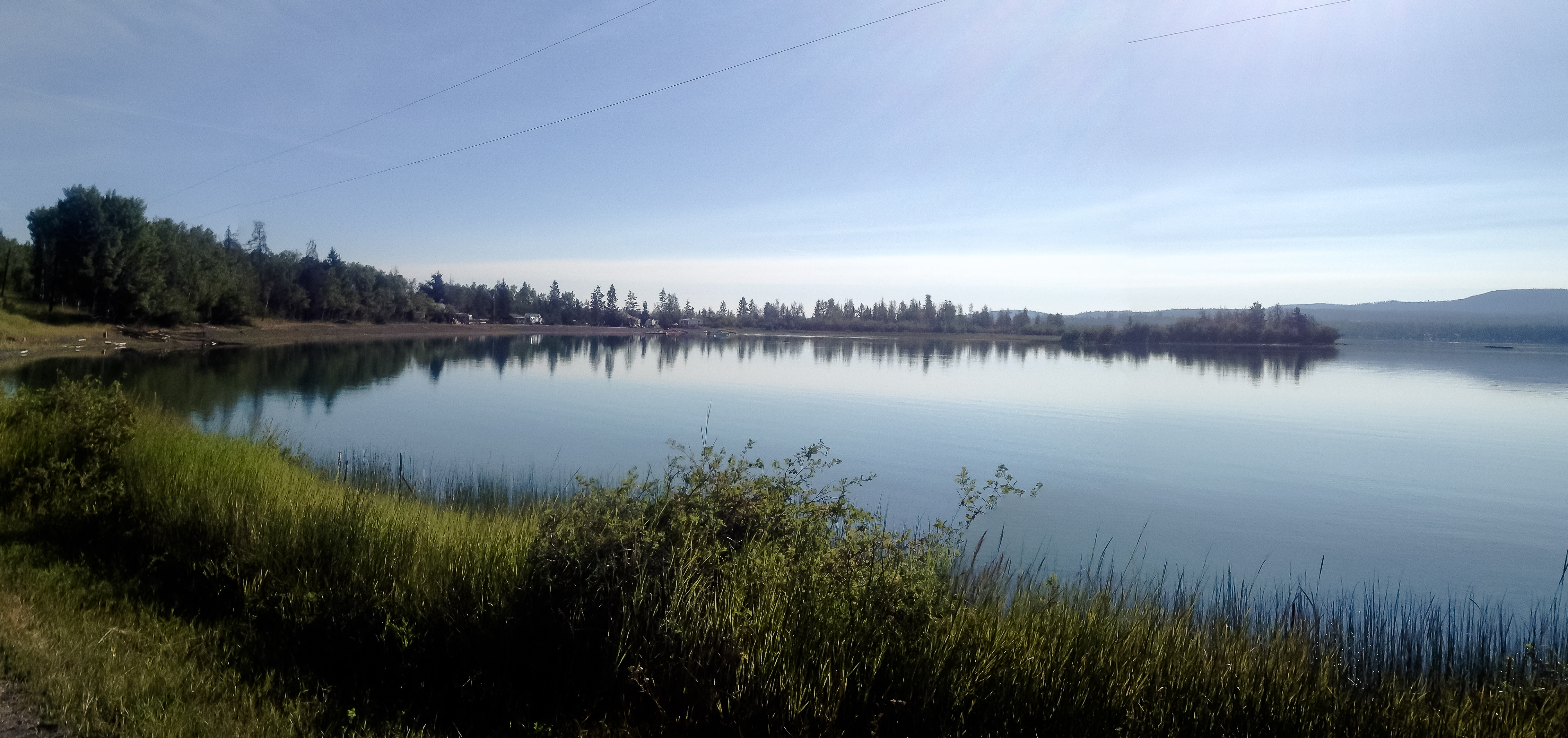
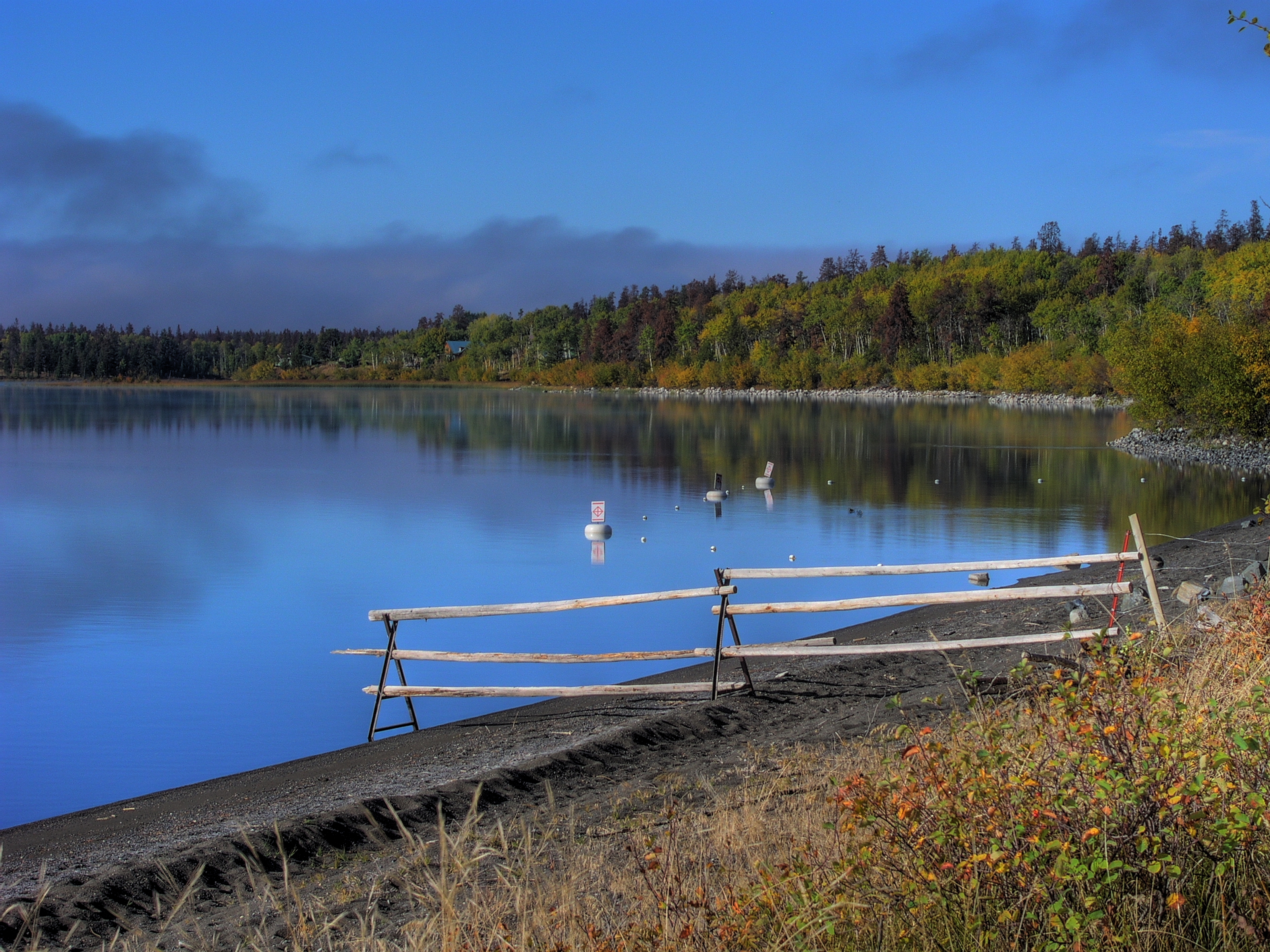
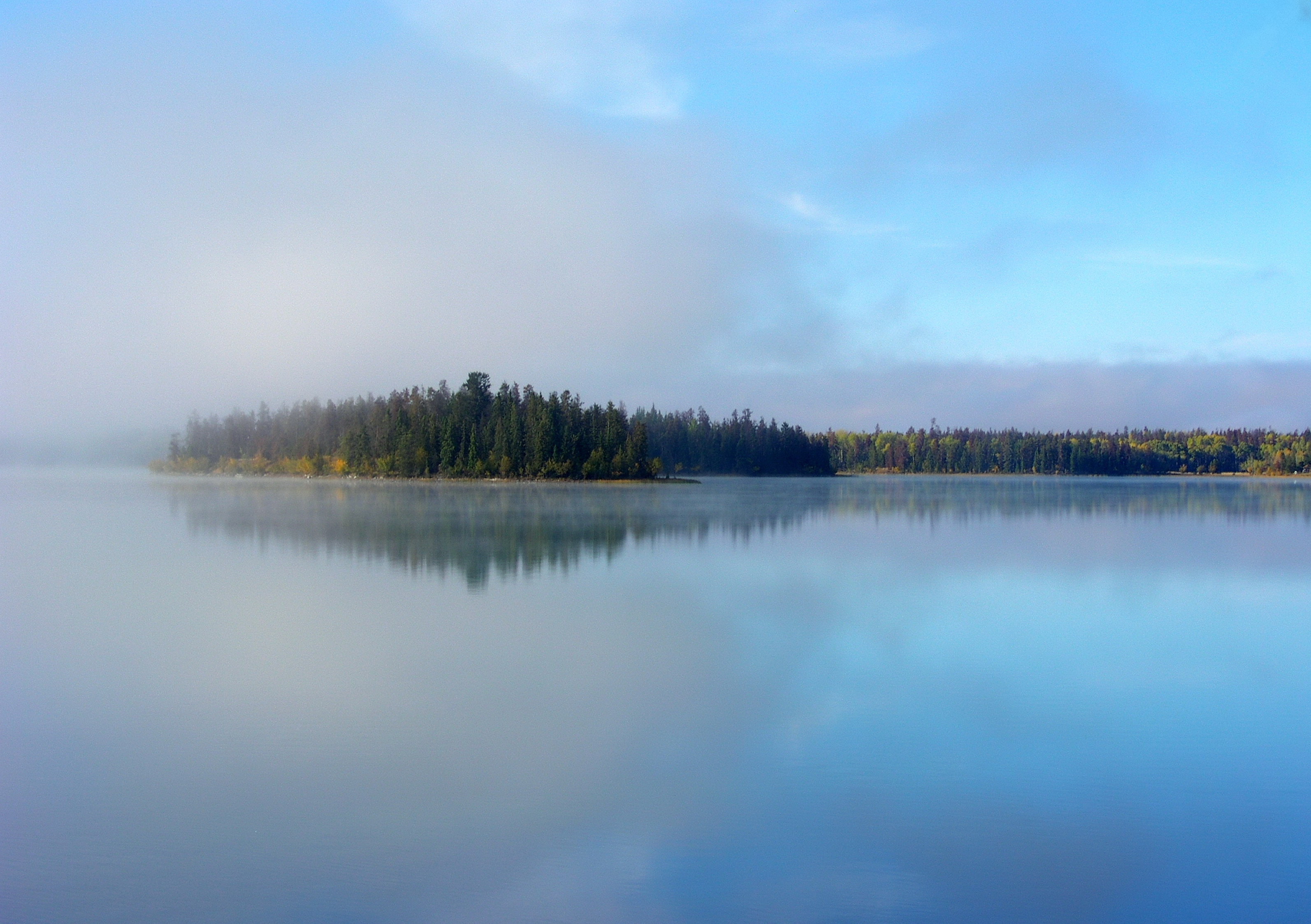
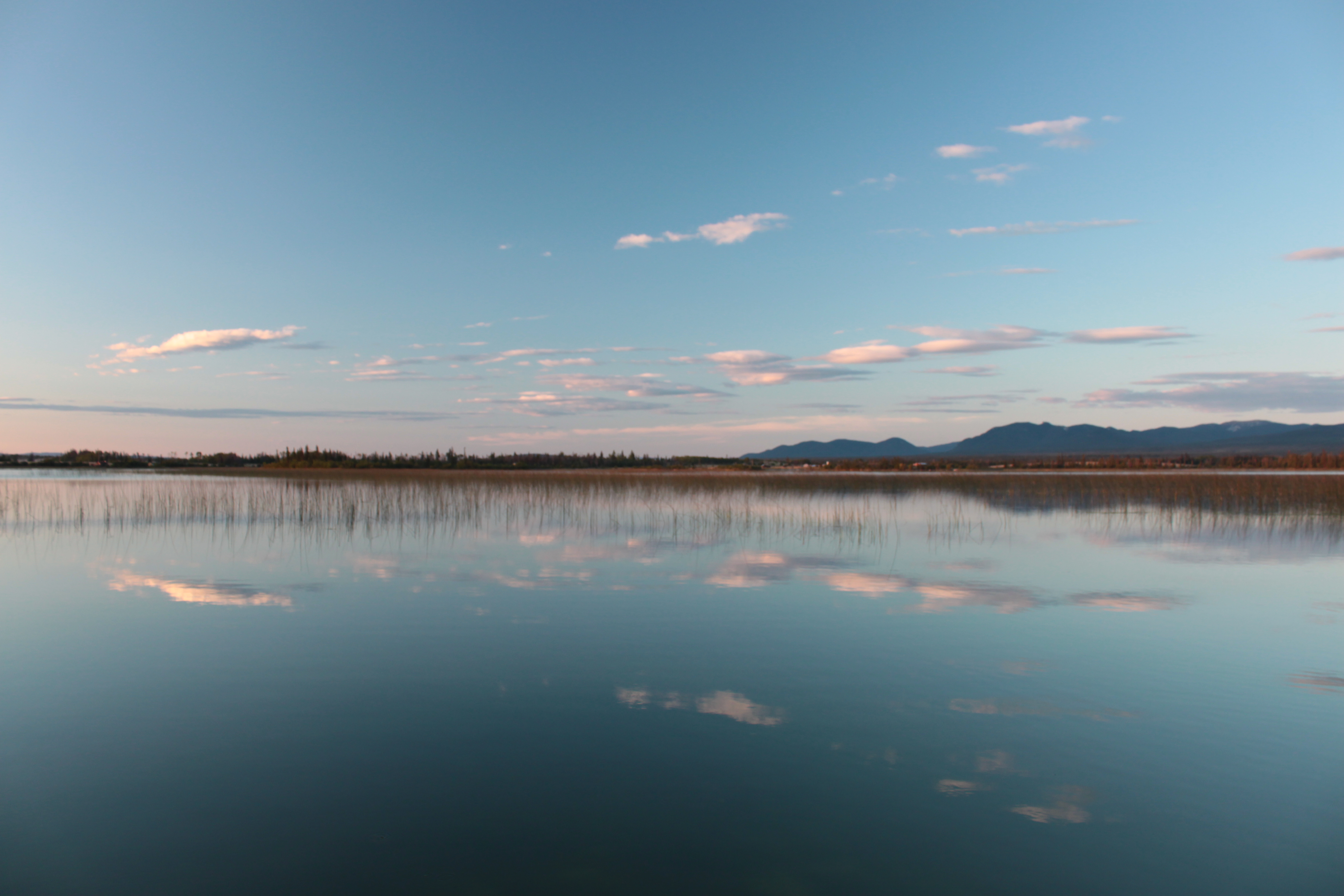
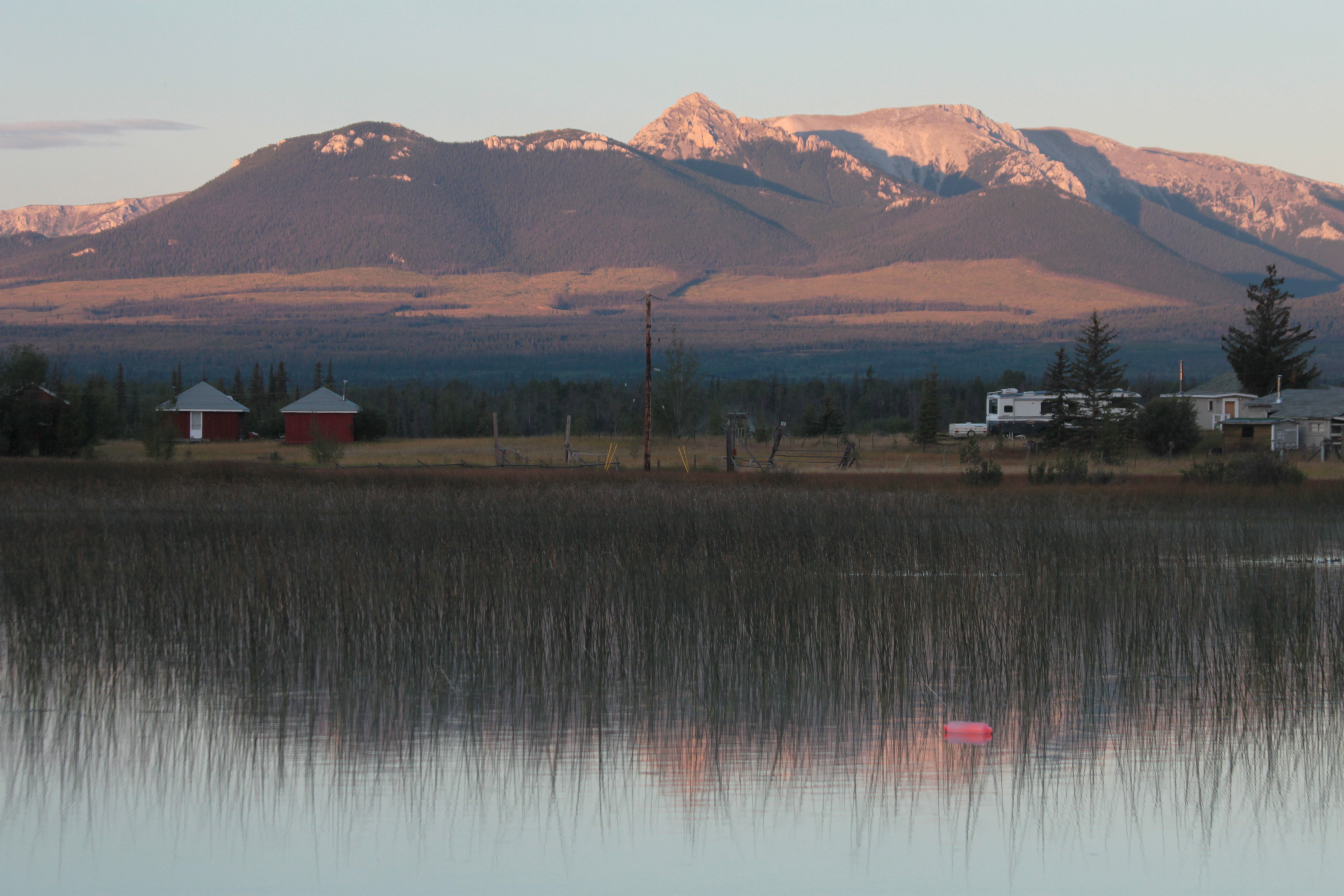
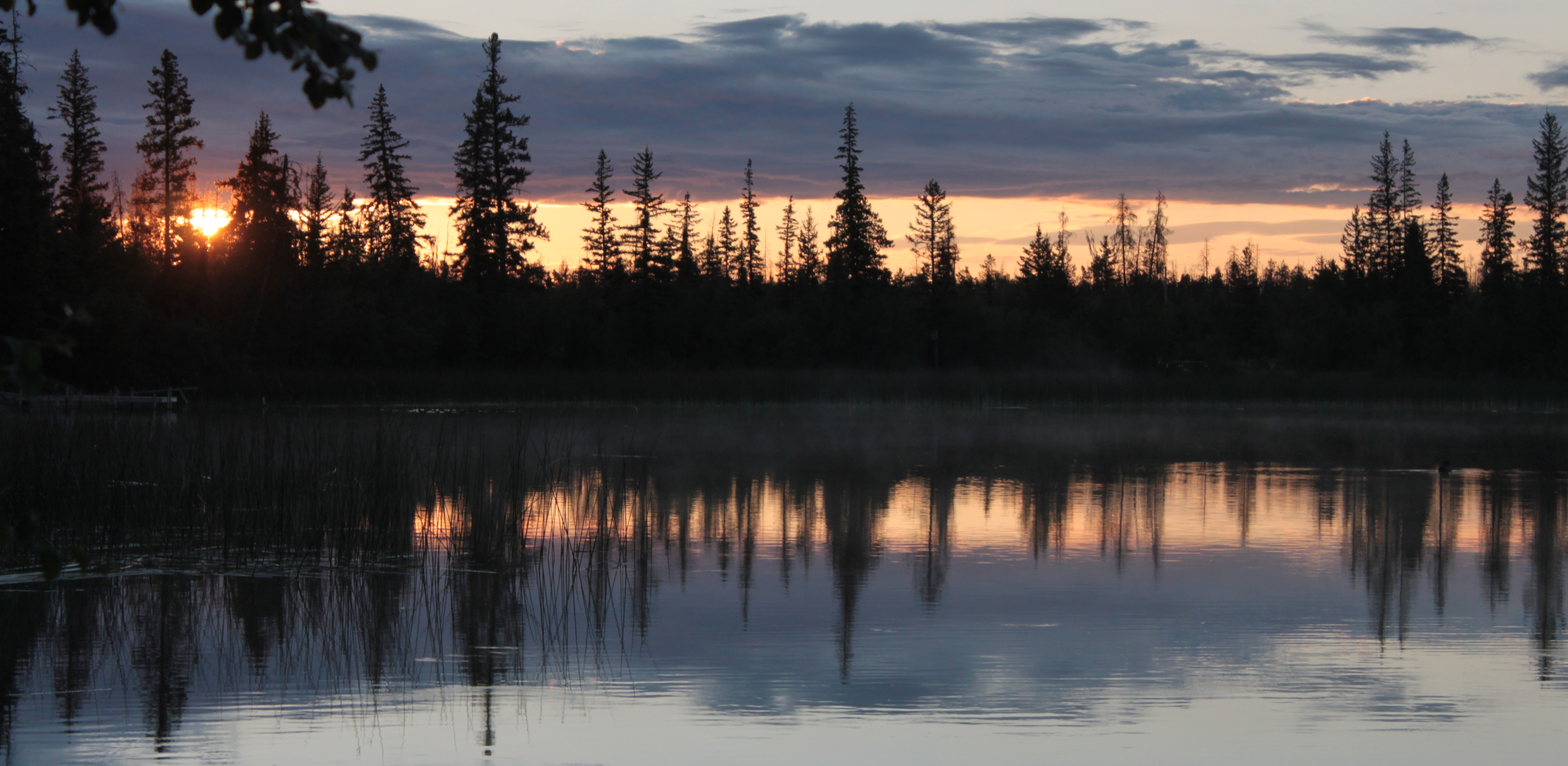
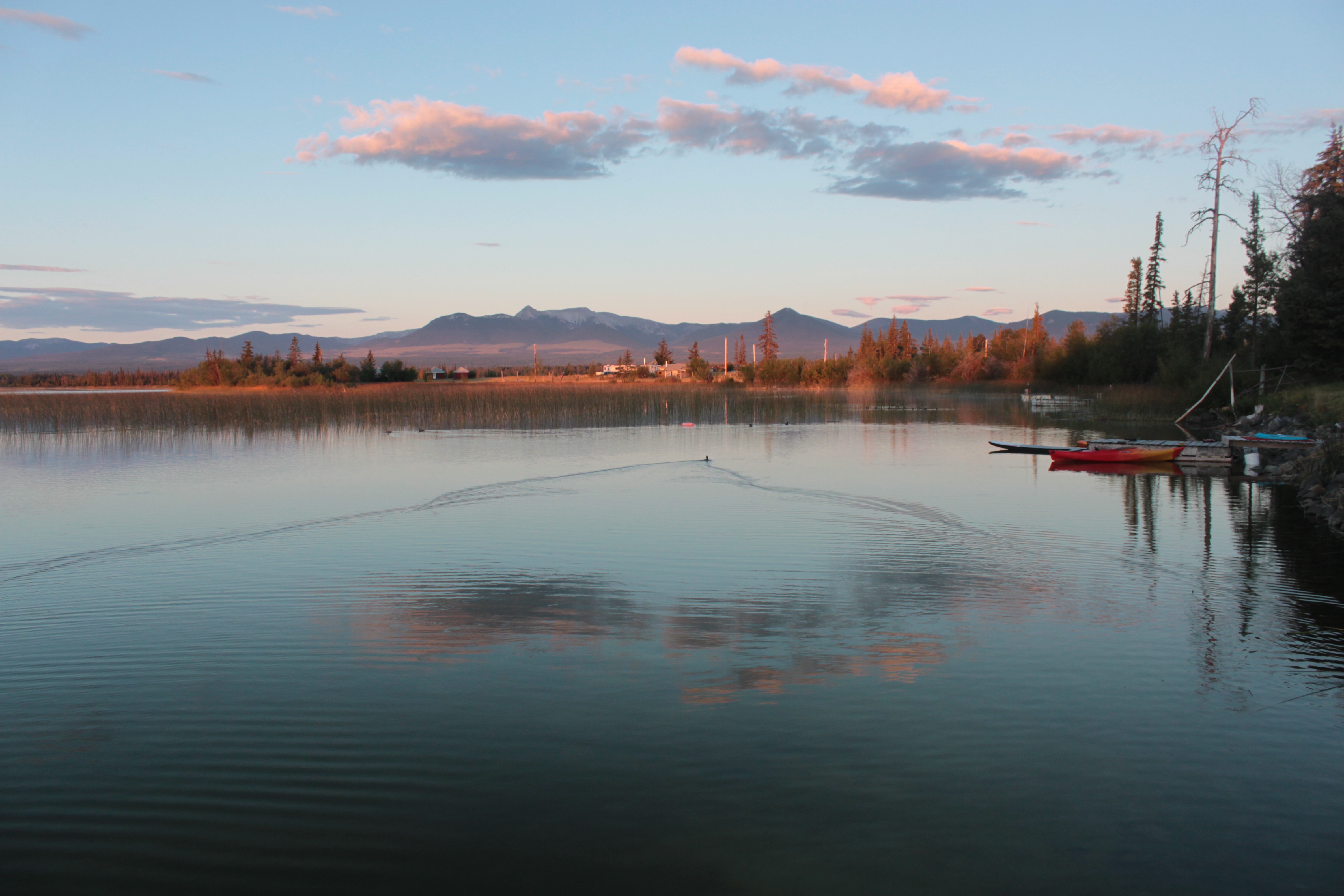
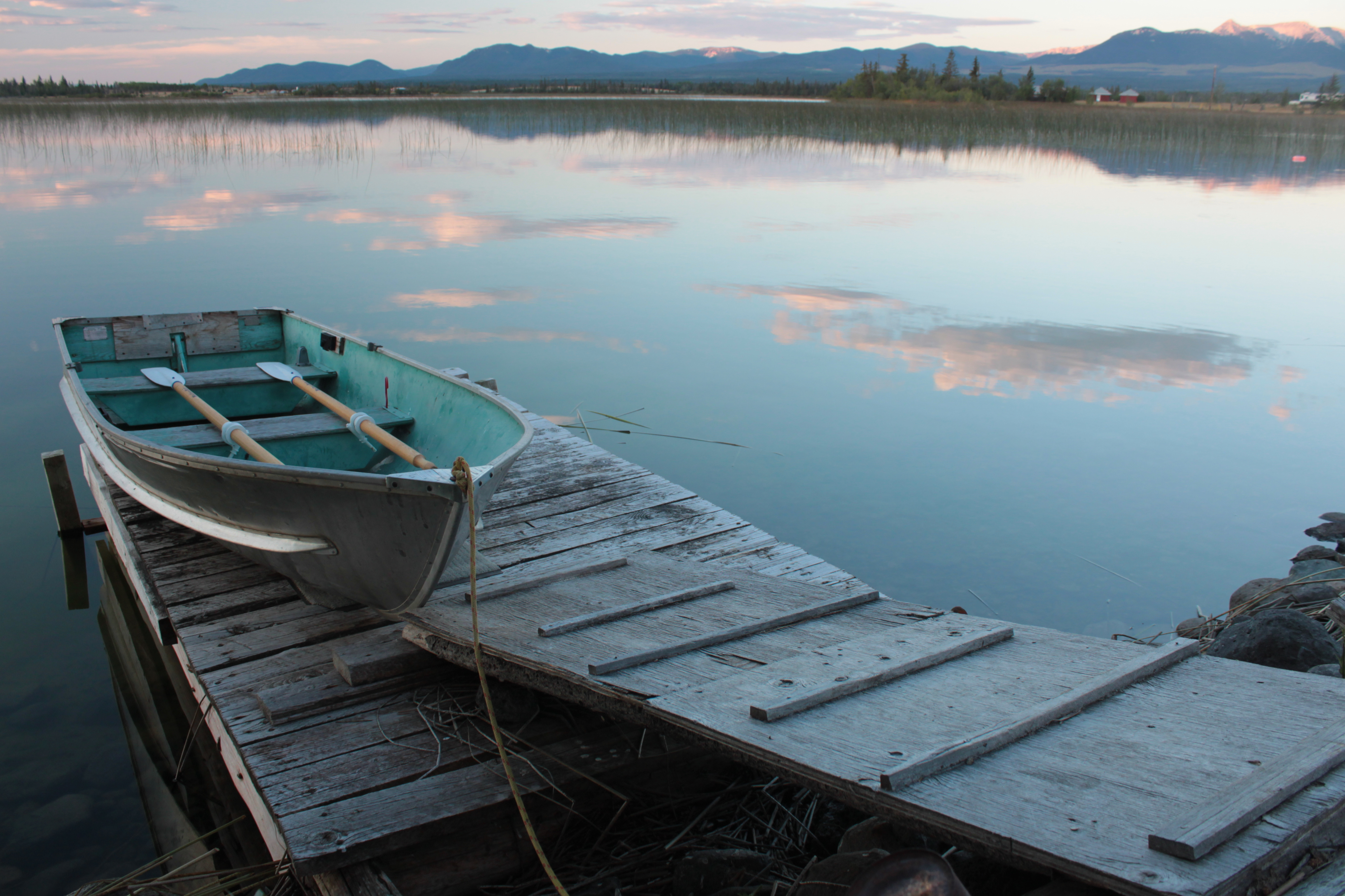
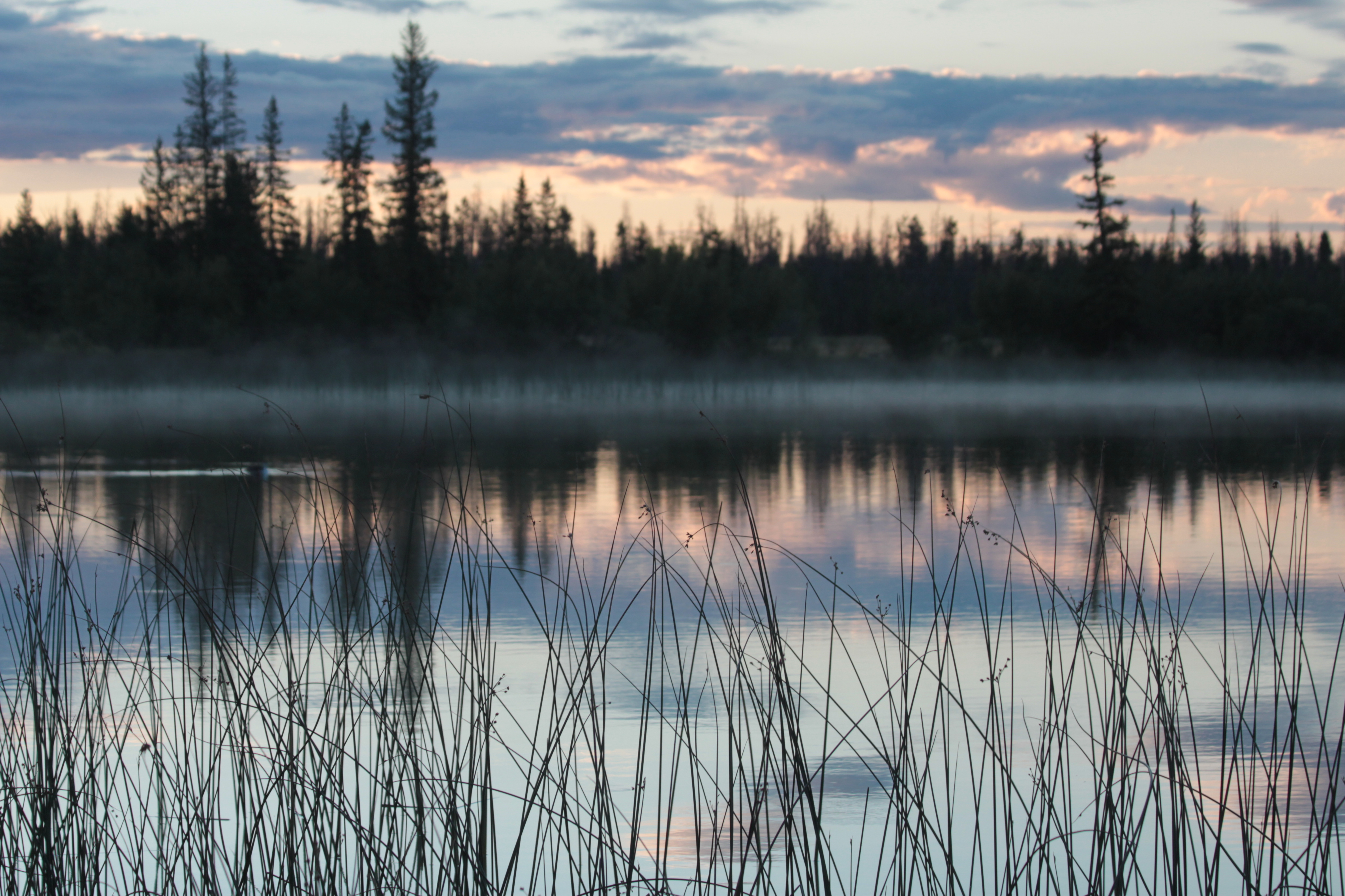
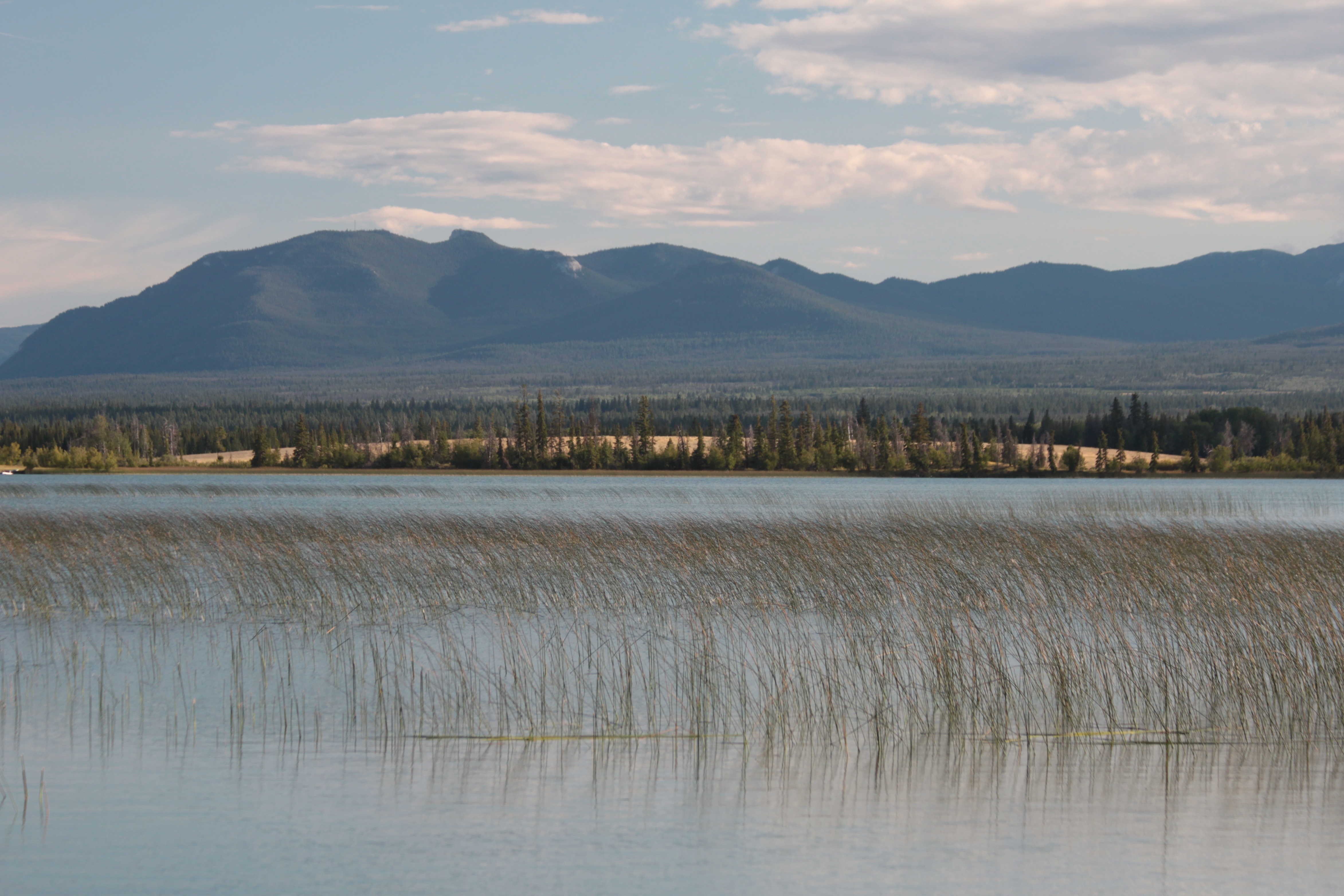
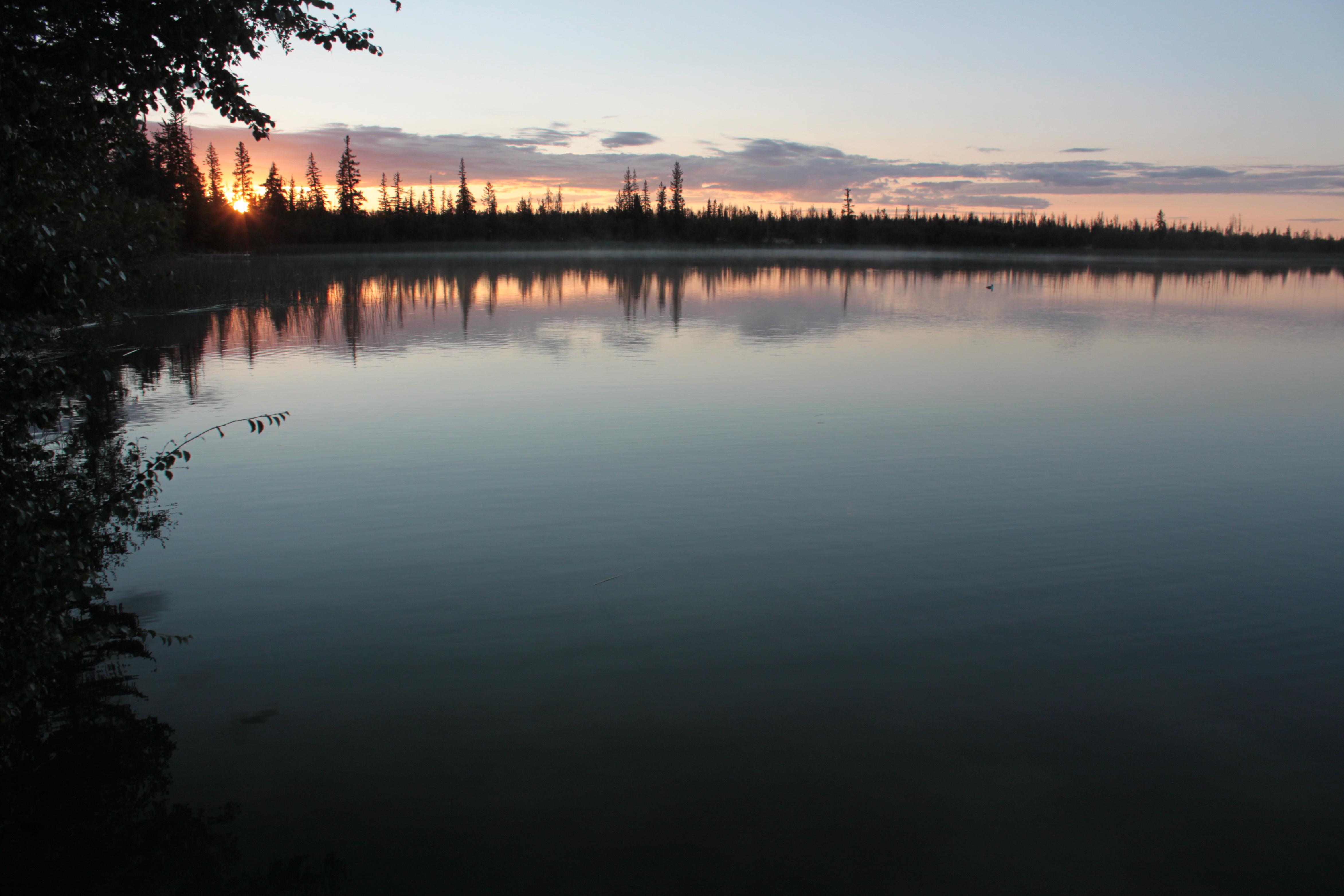
Green Lake, BC, Canada
20140823-5305-Edit
Green Lake - Early Morning
Green Lake - Early Morning
20150816-009

20150815-019
20150816-013
20150816-002

20150815-005
20150816-011
20150816-008
20150816-005
20150815-016
20150816-001
Topographic Map of N Bonaparte Rd, 70 Mile House, BC V0K 2K1, Canada
Find elevation by address:

Places near N Bonaparte Rd, 70 Mile House, BC V0K 2K1, Canada:
3677 N Bonaparte Rd
70 Mile House
1620 Chasm Rd
1620 Chasm Rd
1620 Chasm Rd
1620 Chasm Rd
Chasm
8038 83 Mile Creek Rd
8038 83 Mile Creek Rd
8038 83 Mile Creek Rd
8038 83 Mile Creek Rd
8038 83 Mile Creek Rd
Thibert Road
Green Lake
Loon Lake
7158 93 Mile Loop Rd
Loon Lake
93 Mile
Clinton
6801 Campbell Rd
Recent Searches:
- Elevation of County Rd, Enterprise, AL, USA
- Elevation of Kolchuginsky District, Vladimir Oblast, Russia
- Elevation of Shustino, Vladimir Oblast, Russia
- Elevation of Lampiasi St, Sarasota, FL, USA
- Elevation of Elwyn Dr, Roanoke Rapids, NC, USA
- Elevation of Congressional Dr, Stevensville, MD, USA
- Elevation of Bellview Rd, McLean, VA, USA
- Elevation of Stage Island Rd, Chatham, MA, USA
- Elevation of Shibuya Scramble Crossing, 21 Udagawacho, Shibuya City, Tokyo -, Japan
- Elevation of Jadagoniai, Kaunas District Municipality, Lithuania