Elevation of 83 Mile Creek Rd, Mile House, BC V0K 2E2, Canada
Location: Canada > British Columbia > Cariboo > One Hundred Mile House > 100 Mile House >
Longitude: -121.33958
Latitude: 51.4531782
Elevation: 1127m / 3697feet
Barometric Pressure: 88KPa
Elevation Map:
Satellite Map:
Related Photos:
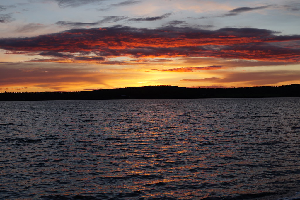
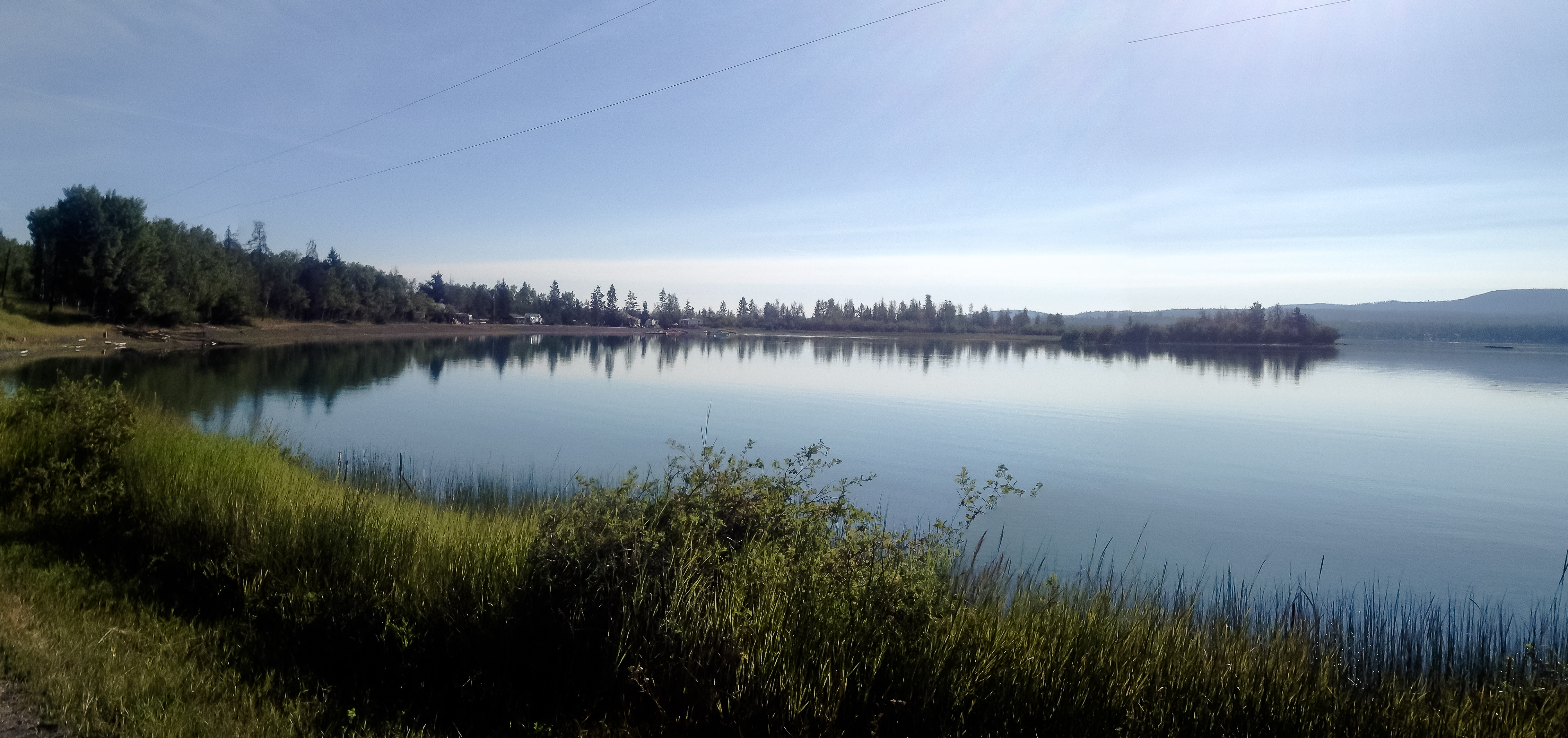
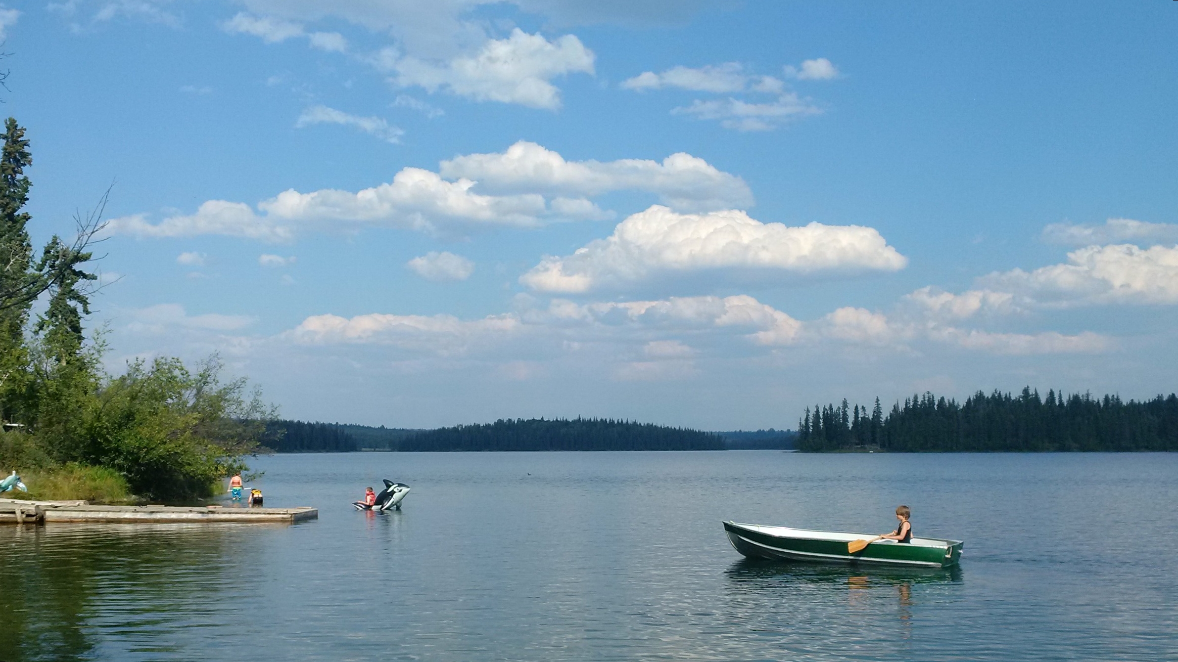
Green Lake Sunset
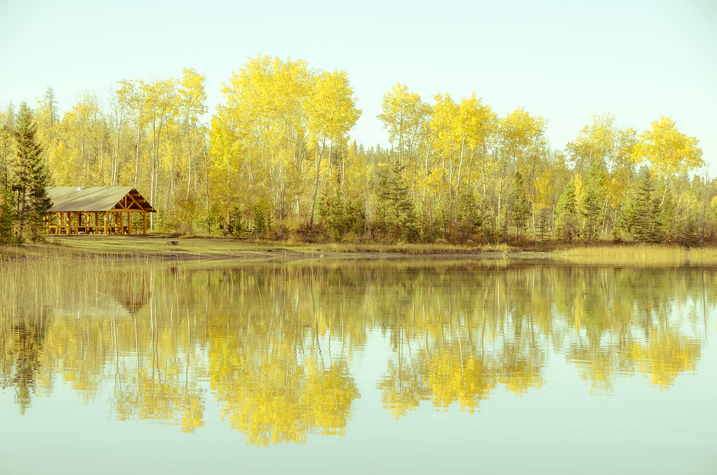
Reflecting on Green Lake
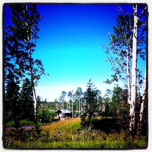
A sunny, but cool morning here. Looking forward to the Gymkhana today.
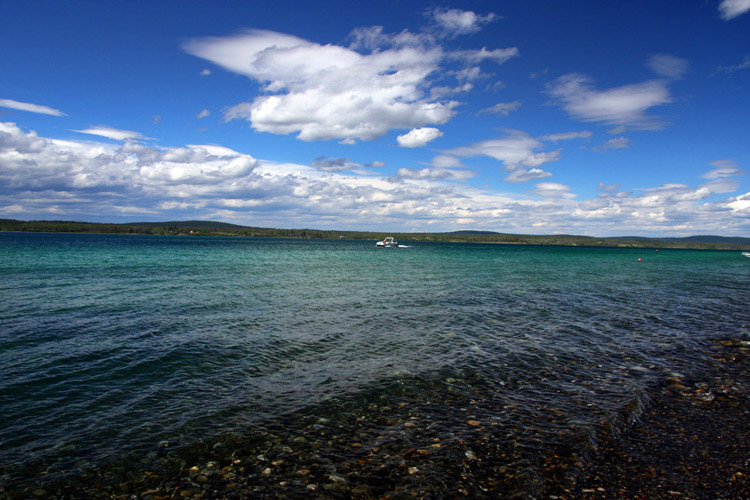
Green Lake, BC, Canada

100 Mile House - Cariboo Hwy - 97, British Columbia
20140823-5305-Edit
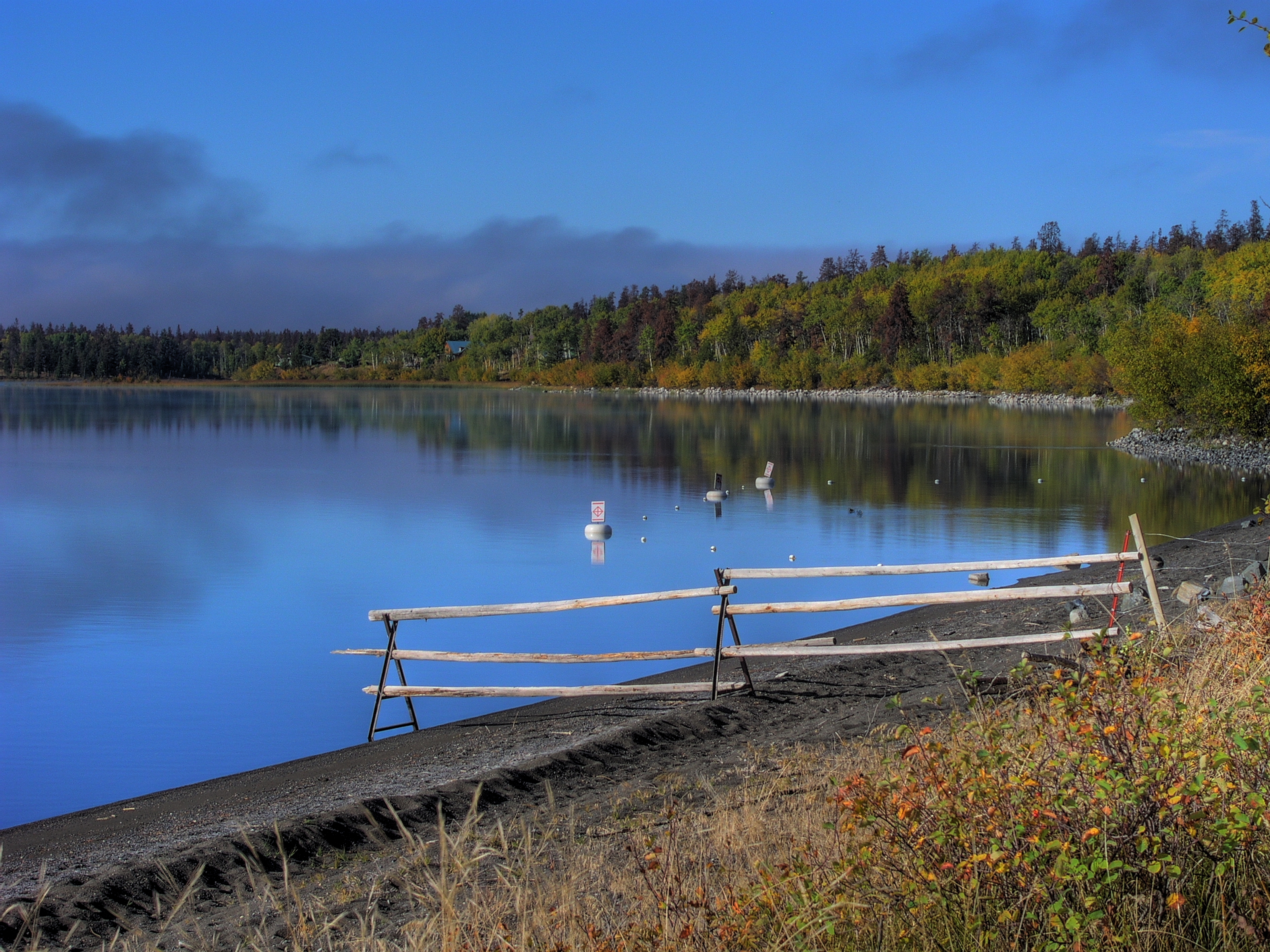
Green Lake - Early Morning
Green Lake - Early Morning
Electric Premonitions

Packing up.
Indian Sam
Topographic Map of 83 Mile Creek Rd, Mile House, BC V0K 2E2, Canada
Find elevation by address:

Places near 83 Mile Creek Rd, Mile House, BC V0K 2E2, Canada:
8038 83 Mile Creek Rd
8038 83 Mile Creek Rd
8038 83 Mile Creek Rd
8038 83 Mile Creek Rd
7158 93 Mile Loop Rd
93 Mile
Green Lake
6801 Campbell Rd
6941 Inman Rd
7003 Inman Rd
3677 N Bonaparte Rd
3677 N Bonaparte Rd
70 Mile House
Lone Butte
917 Alder Ave
256 Blackstock Rd
Thibert Road
One Hundred Mile House
Alder Ave, Buffalo Creek, BC V0K 1G0, Canada
100 Mile House
Recent Searches:
- Elevation of Elwyn Dr, Roanoke Rapids, NC, USA
- Elevation of Congressional Dr, Stevensville, MD, USA
- Elevation of Bellview Rd, McLean, VA, USA
- Elevation of Stage Island Rd, Chatham, MA, USA
- Elevation of Shibuya Scramble Crossing, 21 Udagawacho, Shibuya City, Tokyo -, Japan
- Elevation of Jadagoniai, Kaunas District Municipality, Lithuania
- Elevation of Pagonija rock, Kranto 7-oji g. 8"N, Kaunas, Lithuania
- Elevation of Co Rd 87, Jamestown, CO, USA
- Elevation of Tenjo, Cundinamarca, Colombia
- Elevation of Côte-des-Neiges, Montreal, QC H4A 3J6, Canada