Elevation of Murphy Pl, Fremont, CA, USA
Location: United States > California > Alameda County > Fremont > Mission Valley >
Longitude: -121.93624
Latitude: 37.5411707
Elevation: 48m / 157feet
Barometric Pressure: 101KPa
Elevation Map:
Satellite Map:
Related Photos:

San Francisco from Alameda Creek, Fremont

wheels on fire

mY first HDR

Magical Sparkles

Ever Seen the Movie Duel?
Empty seats at the stadium
do you dare venture beyond?

'out of nowhere'
park and ride

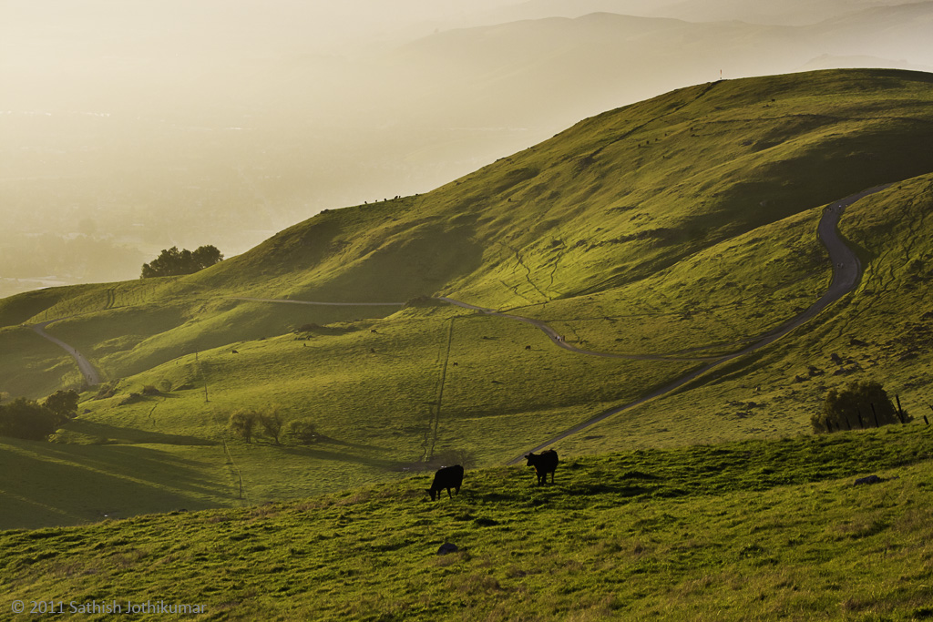
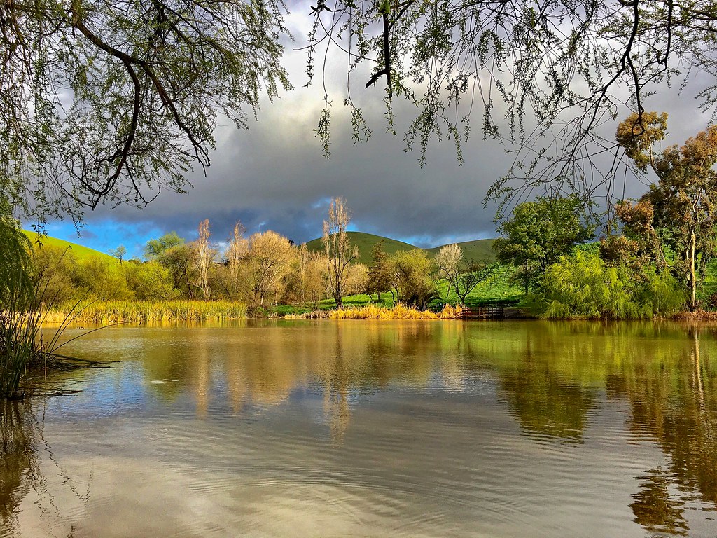
Golden View
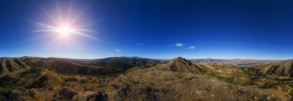
Mission Peak Regional Preserve
My view of the #sunset. Scenes while riding.
Foggy Days and Foggy Bays
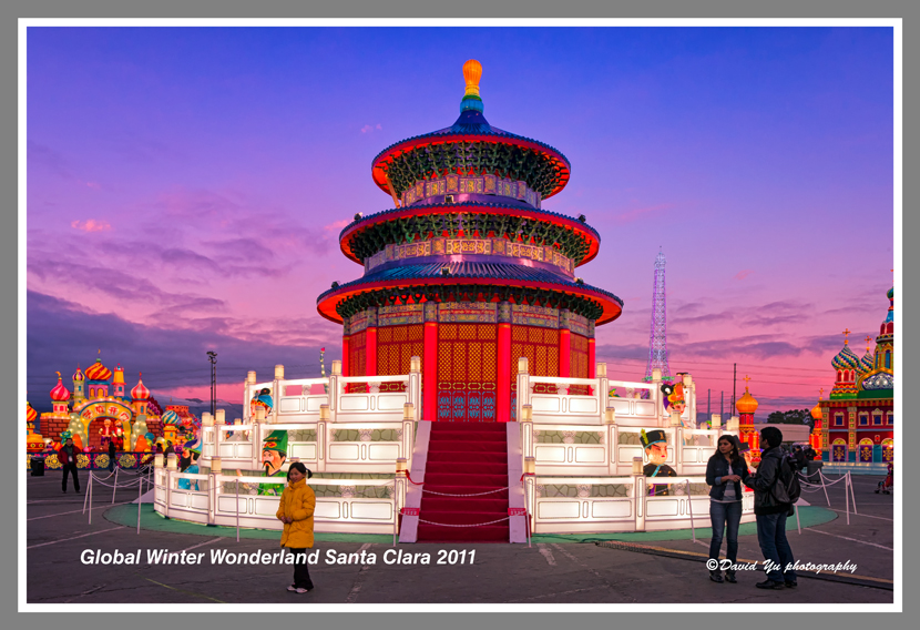
Global Winter Wonderland Santa Clara 2011
Vivid Whispers

Thru the Reeds
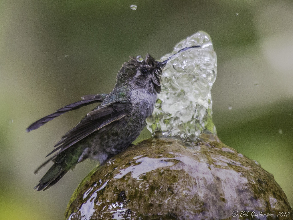
Anna's Hummingbird - The big drink (multiple views)
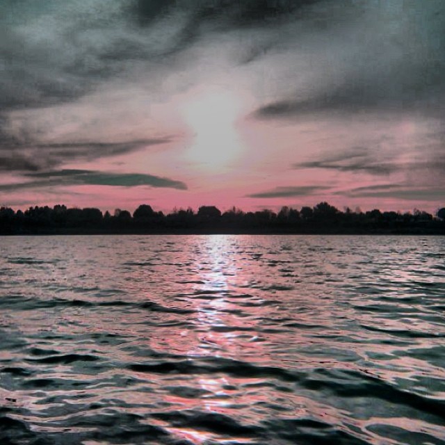
Is this the world we created...?
Explosions of Light
What a cute kid :)

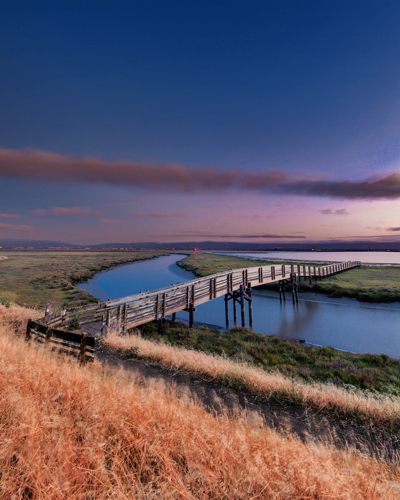
Alviso Blue Hour
rain and sun alternating
Garin 20150227

Mustard field
Garin 20150227
Garin 20150227
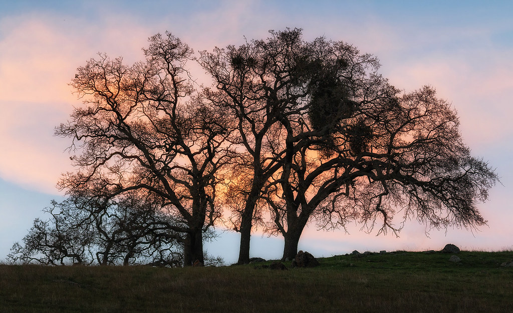
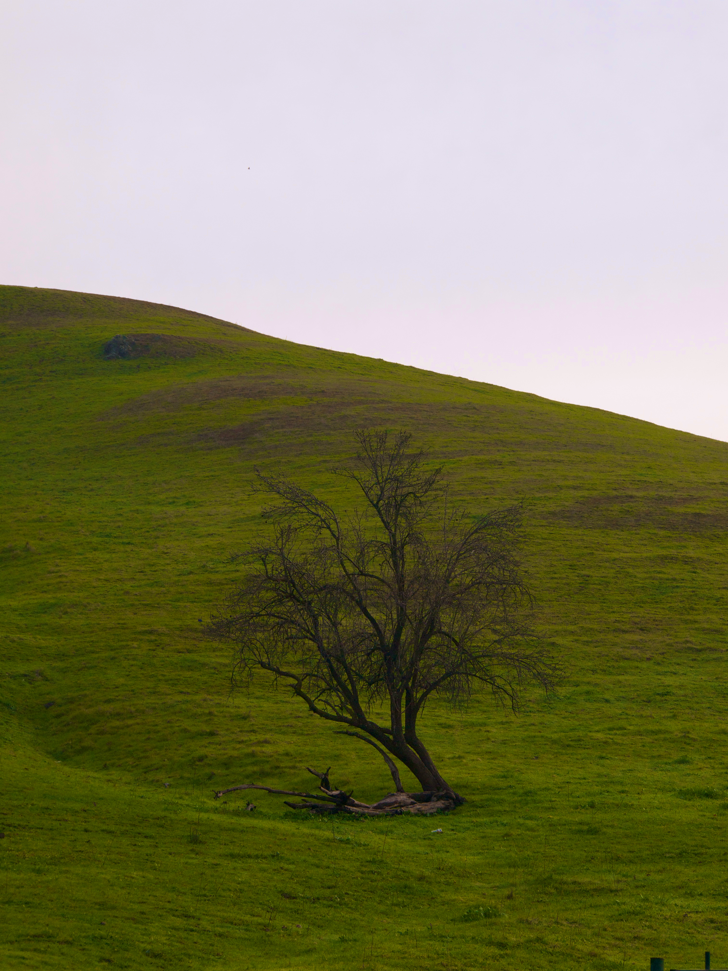
a tree or two
Garin Regional 20150204
Garin Regional 20150204

Easy way down
No Name Trail

Allen's Hummingbird
View from Maguire Peaks
Garin Regional 20150204
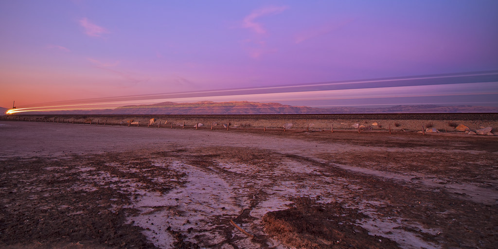
Sunset Express.........

#sunolregionalwilderness was the scene of our #Spring walk today. We found a waterfall along the #canyonviewtrail.

Door of opportunities :)

Garin Regional Park

Calaveras Road

Green Pastors
Topographic Map of Murphy Pl, Fremont, CA, USA
Find elevation by address:

Places near Murphy Pl, Fremont, CA, USA:
901 Wisteria Dr
Mission Valley
2017 Waycross Rd
Olive Avenue
1997 Mento Dr
1385 Bedford St
43103 Washington Common
2105 Castillejo Way
2355 Jackson St
345 Castro Ln
1425 Salamanca Ct
132 Montevideo Cir
41630 Denise St
190 Las Palmas Ct
403 Escobar St
42339 Paich Ct
158 Guadalupe Terrace
340 Castro Ln
Mission San Jose
Old Mission San Jose
Recent Searches:
- Elevation of Lampiasi St, Sarasota, FL, USA
- Elevation of Elwyn Dr, Roanoke Rapids, NC, USA
- Elevation of Congressional Dr, Stevensville, MD, USA
- Elevation of Bellview Rd, McLean, VA, USA
- Elevation of Stage Island Rd, Chatham, MA, USA
- Elevation of Shibuya Scramble Crossing, 21 Udagawacho, Shibuya City, Tokyo -, Japan
- Elevation of Jadagoniai, Kaunas District Municipality, Lithuania
- Elevation of Pagonija rock, Kranto 7-oji g. 8"N, Kaunas, Lithuania
- Elevation of Co Rd 87, Jamestown, CO, USA
- Elevation of Tenjo, Cundinamarca, Colombia