Elevation of Old Mission San Jose, Mission Blvd, Fremont, CA, USA
Location: United States > California > Alameda County > Fremont > Mission San Jose >
Longitude: -121.91969
Latitude: 37.5338899
Elevation: 98m / 322feet
Barometric Pressure: 100KPa
Elevation Map:
Satellite Map:
Related Photos:
Is this the world we created...?

wheels on fire

Air and water, charging on!

Empty seats at the stadium

Ever Seen the Movie Duel?
park and ride

The Bad Beginning - Waiting with Sheep

Staring @ Suprise Alviso Sunrise
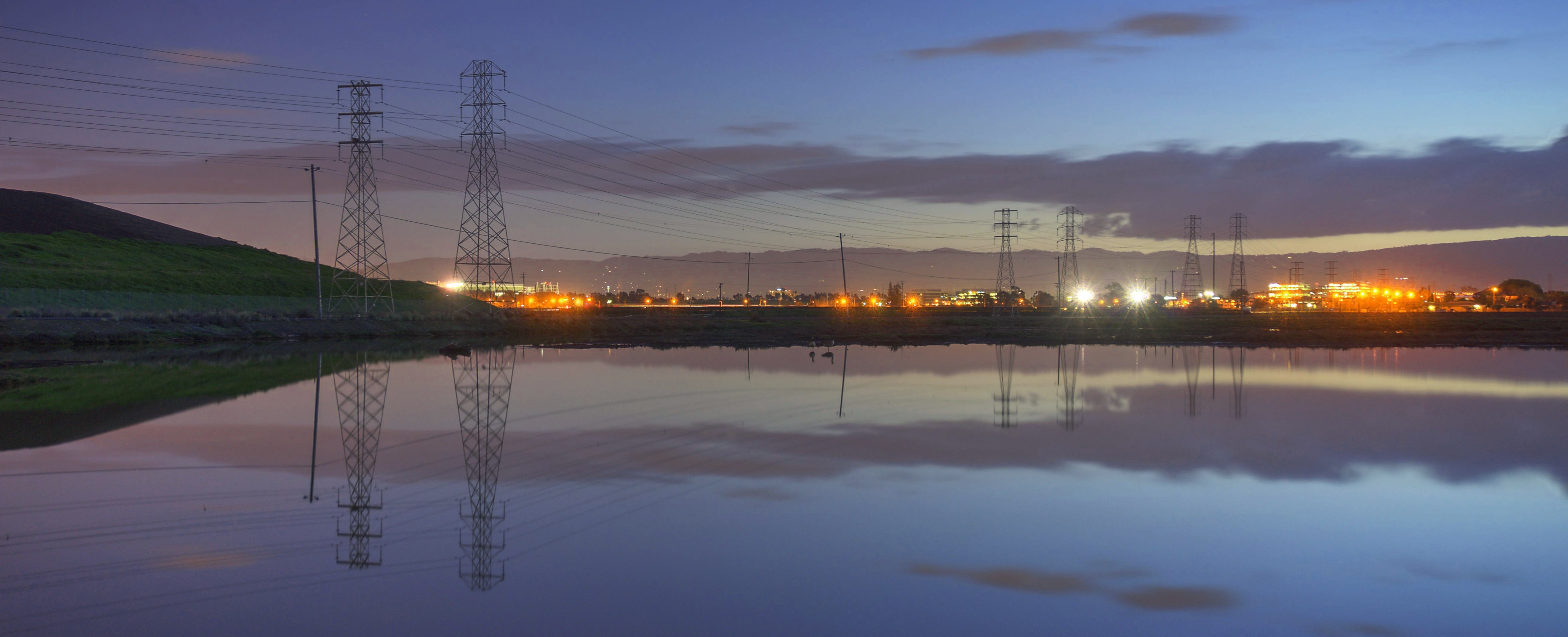
power divides us

Down The Tracks

Yellow-rumped Warbler (Setophaga coronata) (sp. # 167)

"My sinister look"
Mission Peak Regional Park, Fremont, California USA

Golden Hour [C_031268-94]

Explosions of Light

mY first HDR

Magical Sparkles
View from Maguire Peaks

'out of nowhere'
The view from above.

do you dare venture beyond?

Door of opportunities :)

Hello! I'm Western Meadowlark

Easy way down
The Beamer

Mustard Flowers Field

Alviso, San Jose, CA

Tree in Yellow Field

Trail to the Yellow Flowers
A foggy night in California
Cotoye Hills Regional Park 11.jpg

Mustard field

Calaveras Road
Yesterday afternoon stroll.
A Candle Burns Brightest
Sunol Spring Hillside No.01

No Name Trail

Garin 20150227

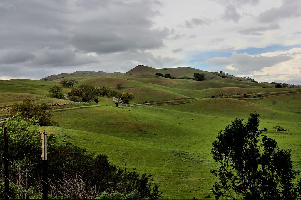
Green Pastors

Allen's Hummingbird
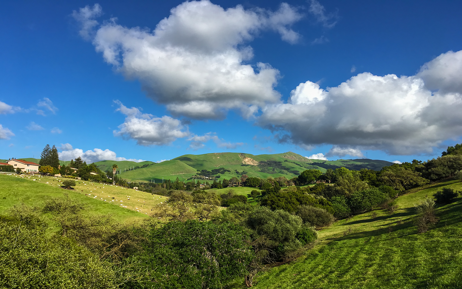
Calaveras Hills
iPhone 5se test
Topographic Map of Old Mission San Jose, Mission Blvd, Fremont, CA, USA
Find elevation by address:

Places near Old Mission San Jose, Mission Blvd, Fremont, CA, USA:
Mission Blvd, Fremont, CA, USA
Mission San Jose
203 Mission Tierra Pl
158 Guadalupe Terrace
243 Mission Tierra Pl
403 Escobar St
132 Montevideo Cir
43103 Washington Common
1425 Salamanca Ct
Olive Avenue
Mission Valley
41751 Murphy Pl
42200 Vargas Rd
2105 Castillejo Way
901 Wisteria Dr
1997 Mento Dr
2017 Waycross Rd
2355 Jackson St
1385 Bedford St
345 Castro Ln
Recent Searches:
- Elevation of 62 Abbey St, Marshfield, MA, USA
- Elevation of Fernwood, Bradenton, FL, USA
- Elevation of Felindre, Swansea SA5 7LU, UK
- Elevation of Leyte Industrial Development Estate, Isabel, Leyte, Philippines
- Elevation of W Granada St, Tampa, FL, USA
- Elevation of Pykes Down, Ivybridge PL21 0BY, UK
- Elevation of Jalan Senandin, Lutong, Miri, Sarawak, Malaysia
- Elevation of Bilohirs'k
- Elevation of 30 Oak Lawn Dr, Barkhamsted, CT, USA
- Elevation of Luther Road, Luther Rd, Auburn, CA, USA