Elevation of Muramalla, Andhra Pradesh, India
Location: India > Andhra Pradesh > East Godavari >
Longitude: 82.1672841
Latitude: 16.6740638
Elevation: 5m / 16feet
Barometric Pressure: 101KPa
Elevation Map:
Satellite Map:
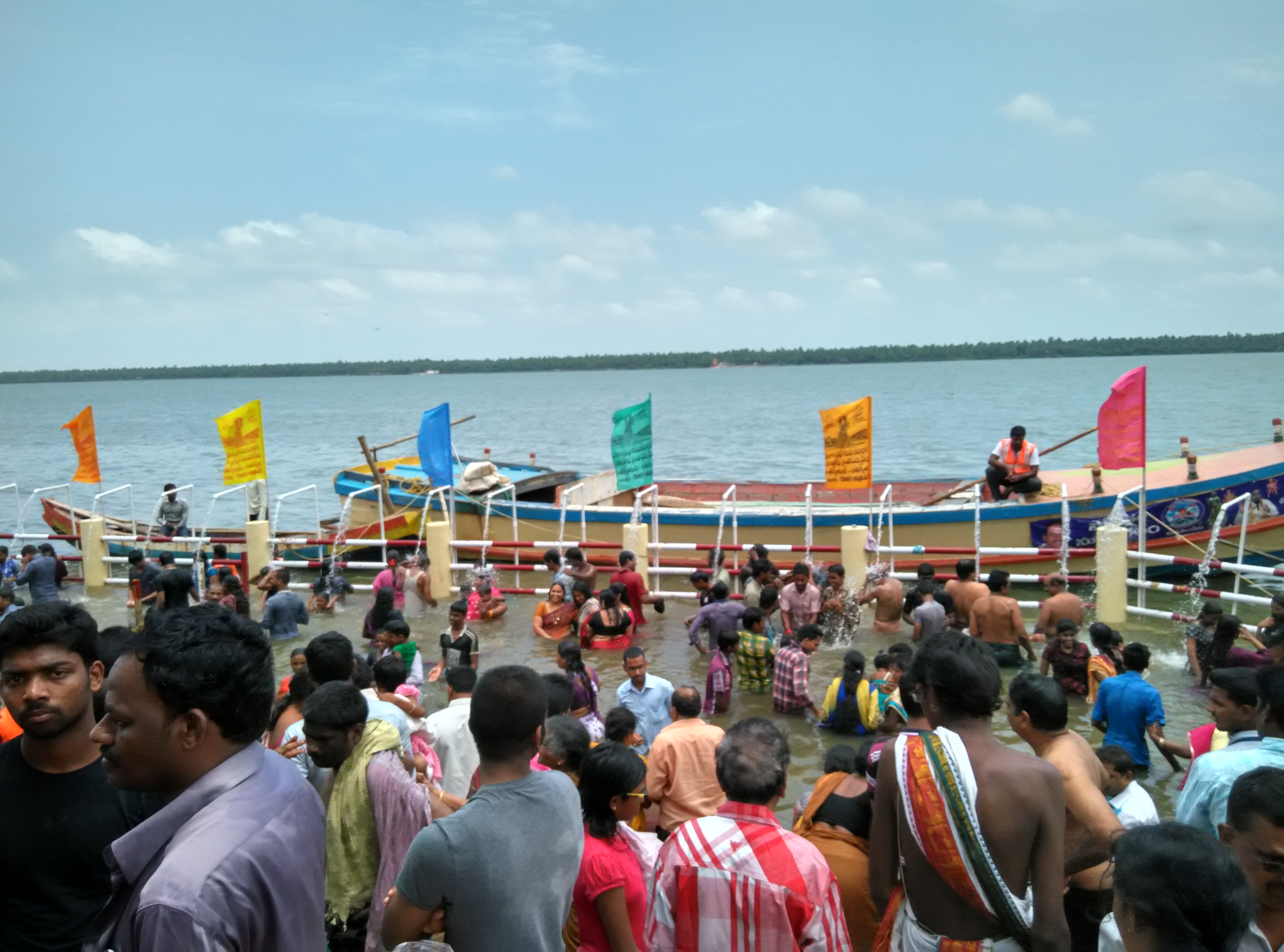
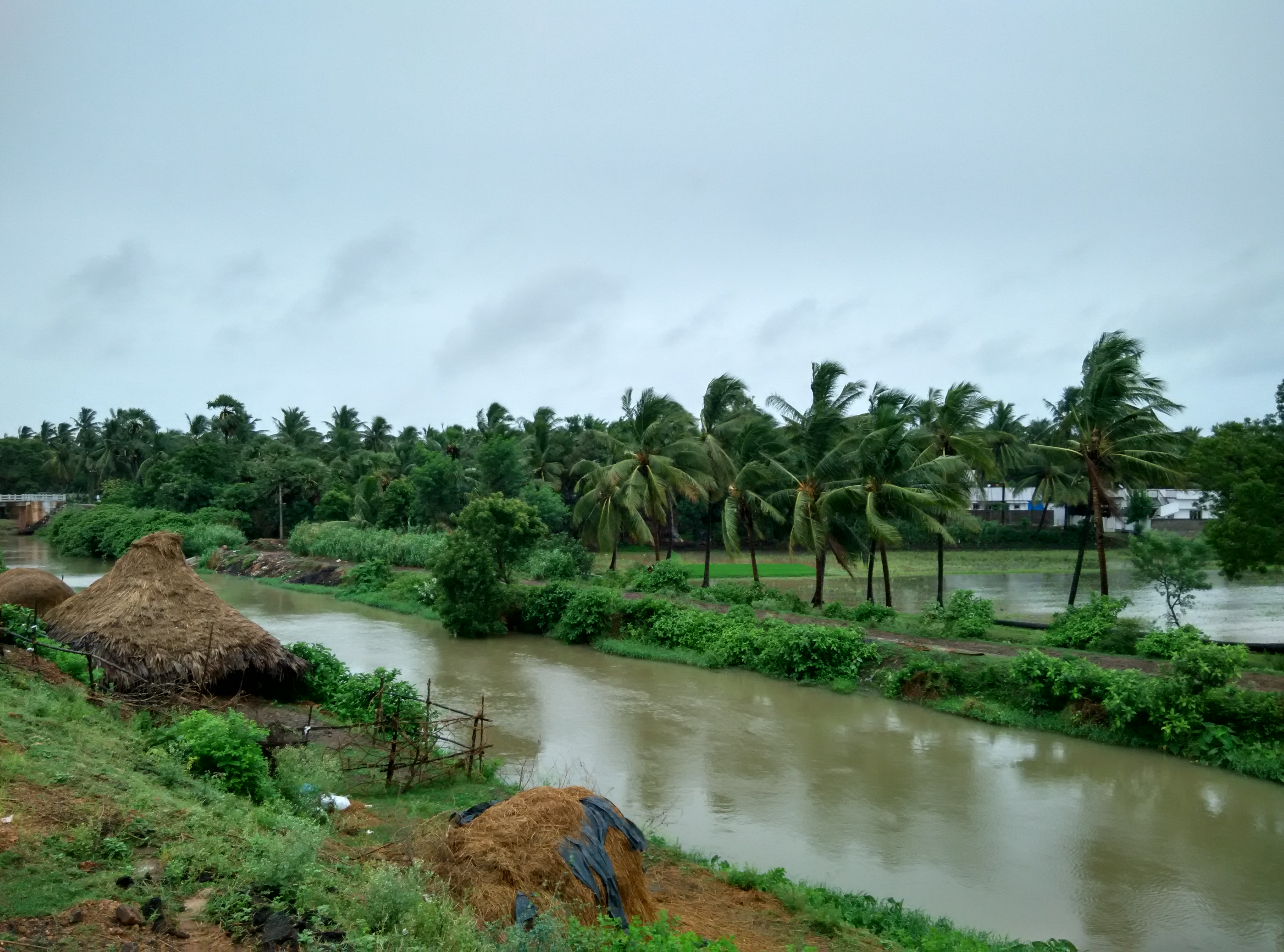
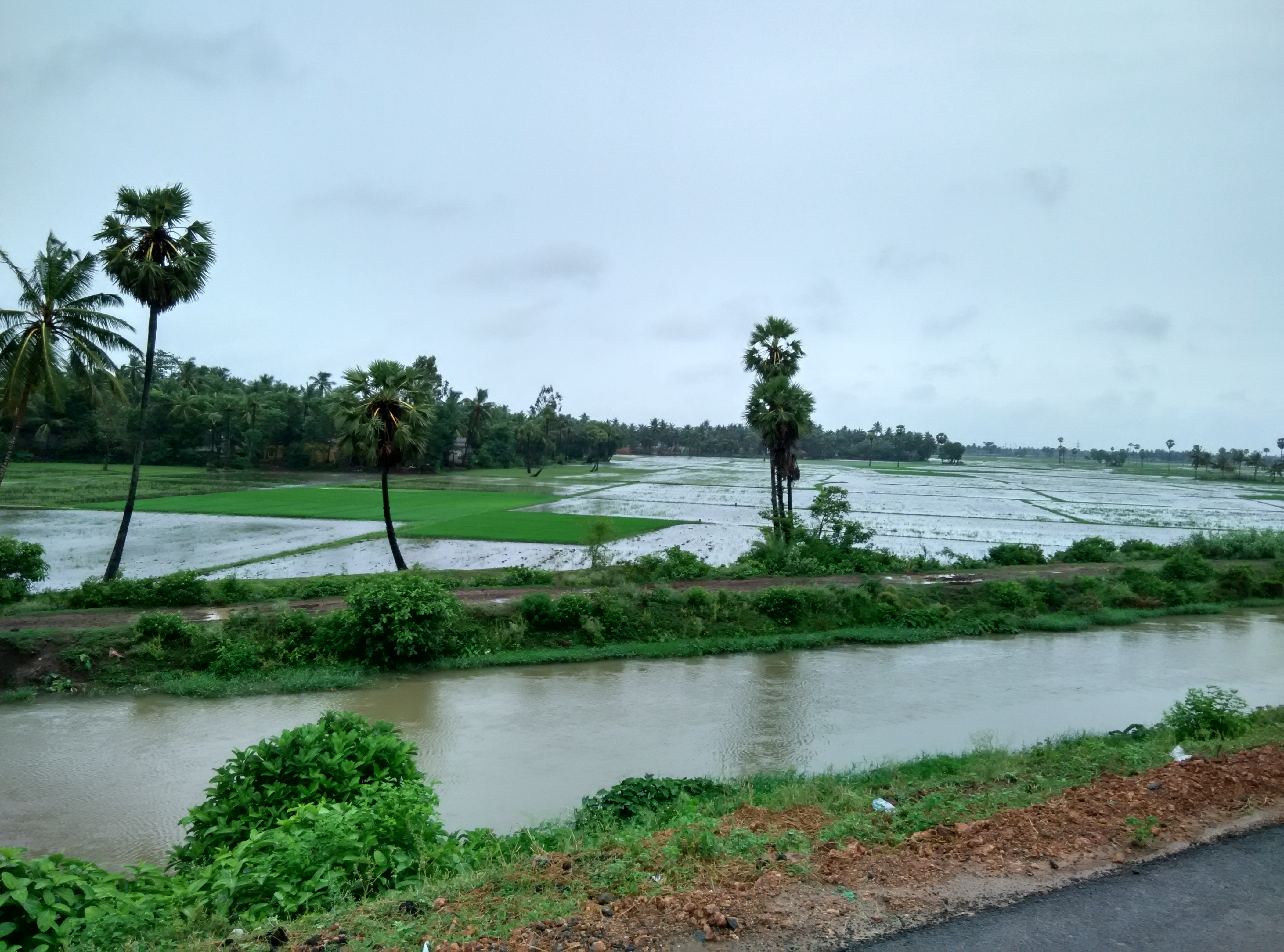
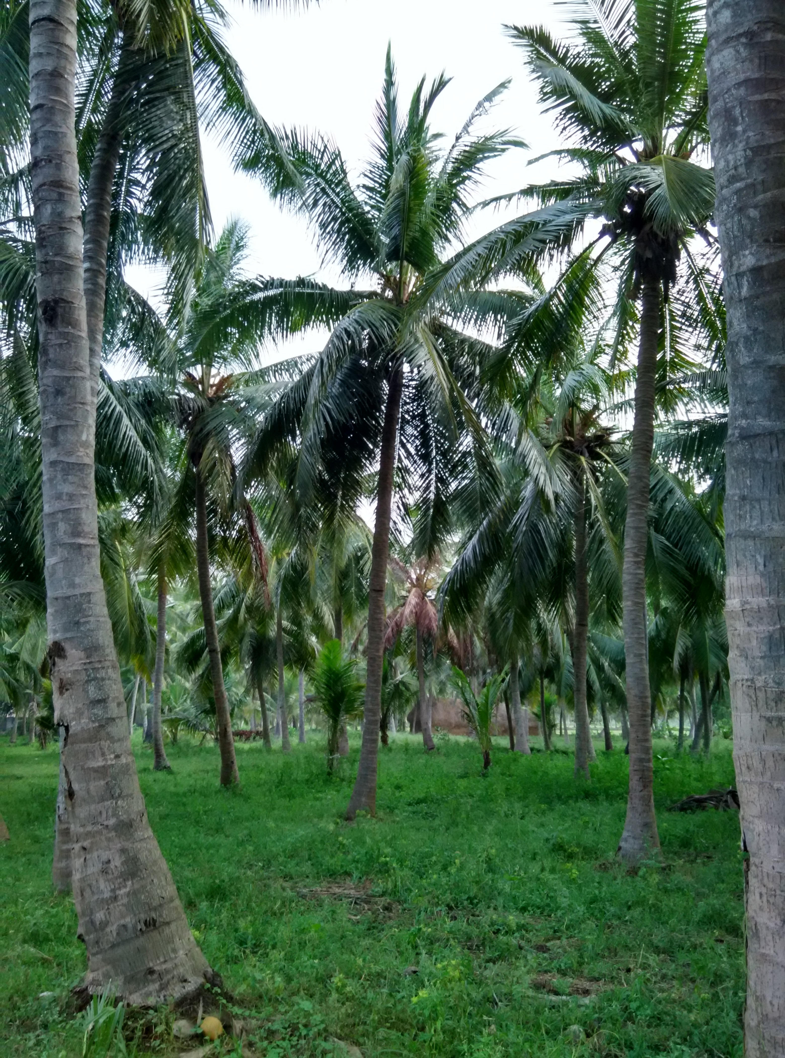
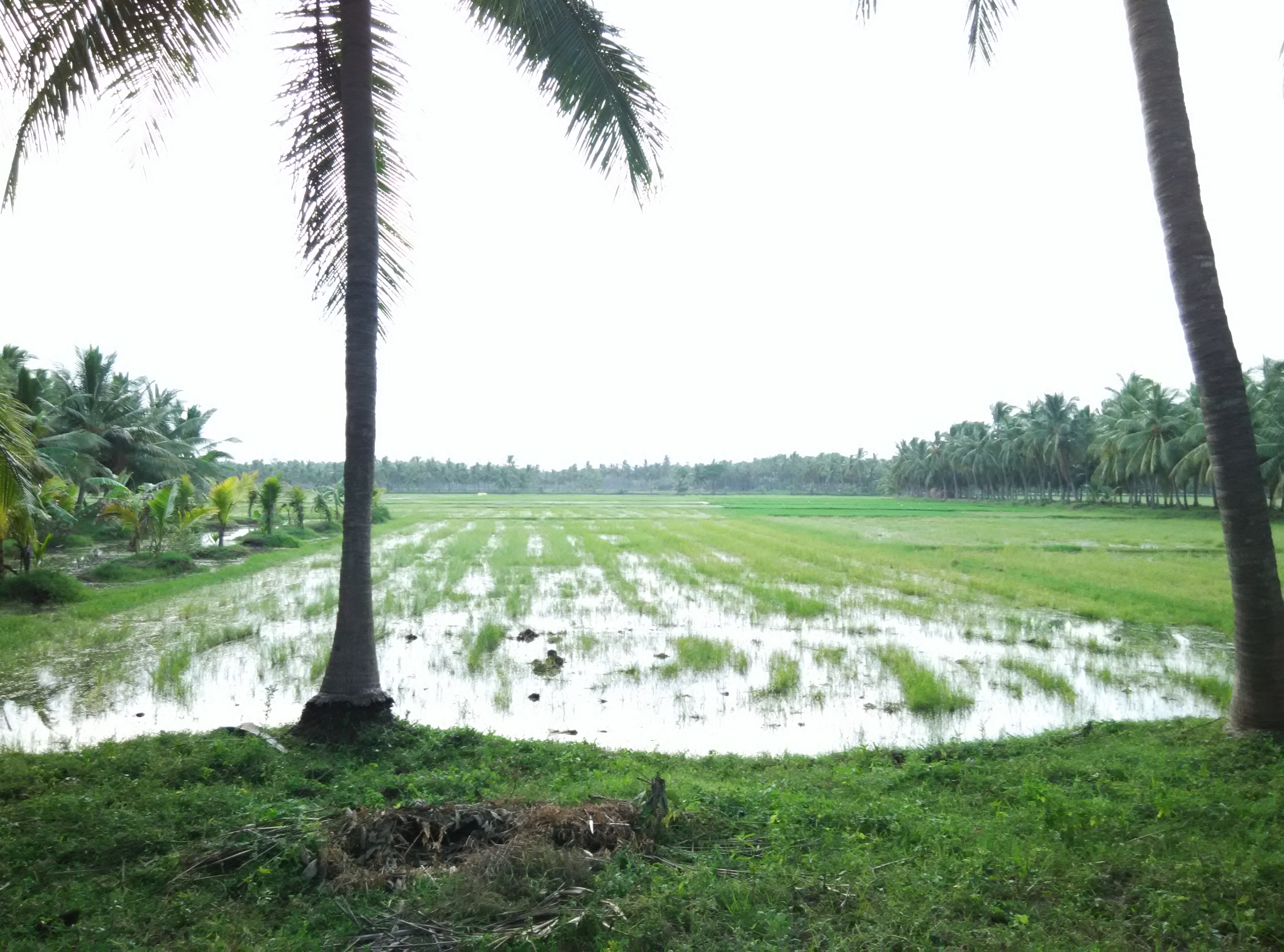
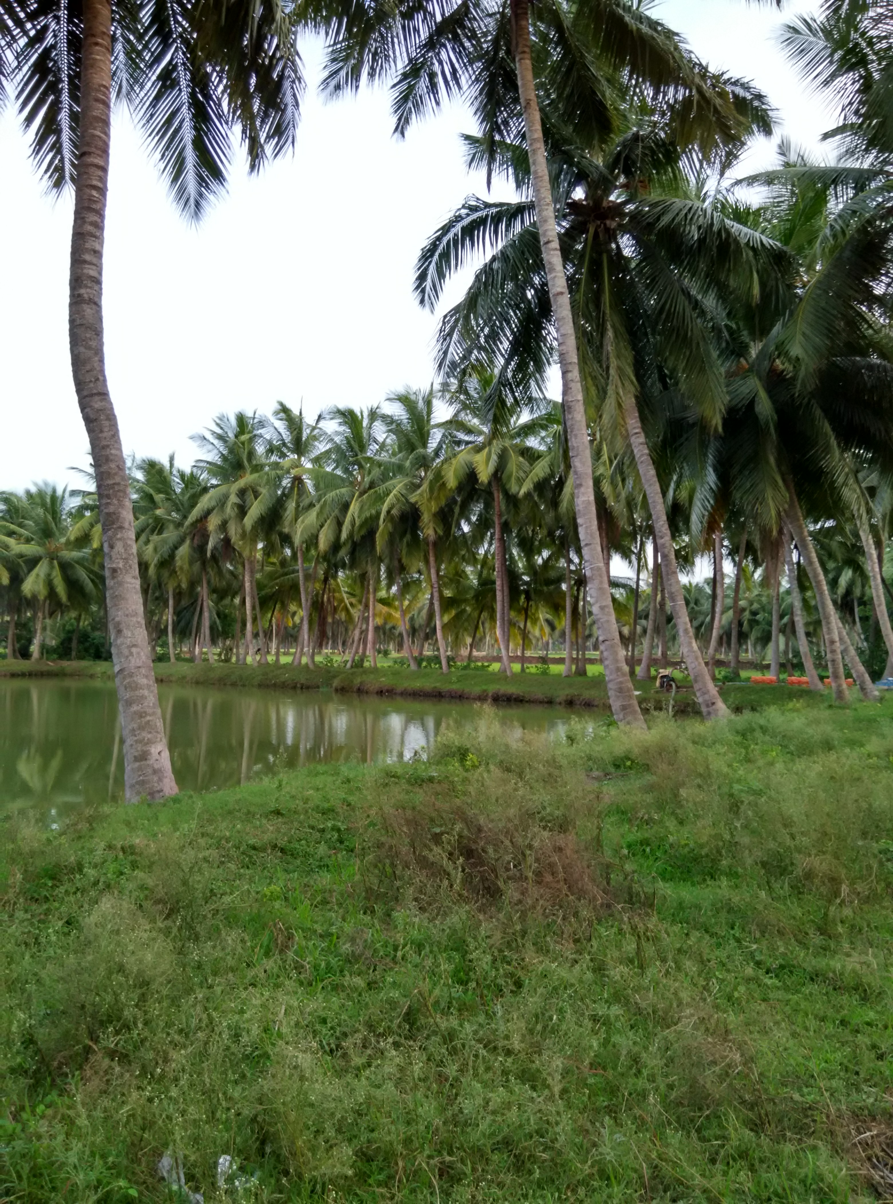
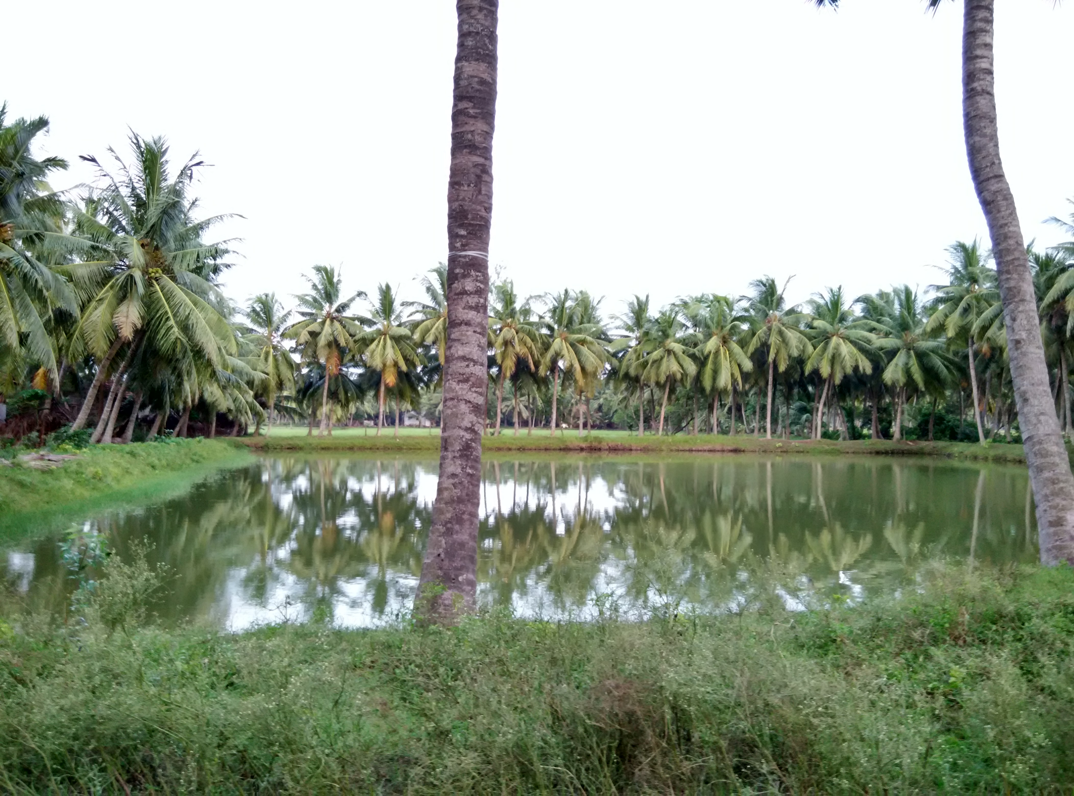
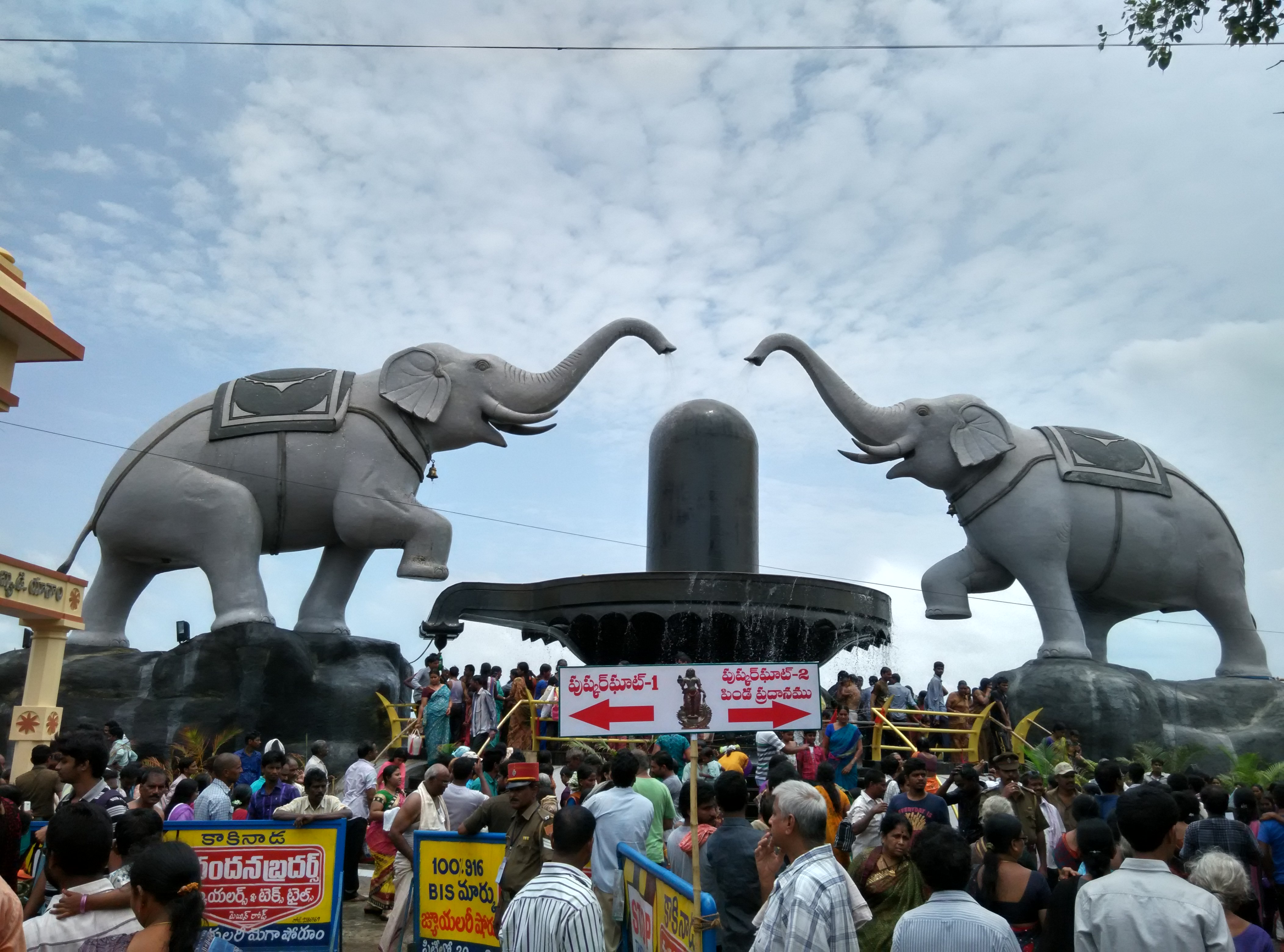
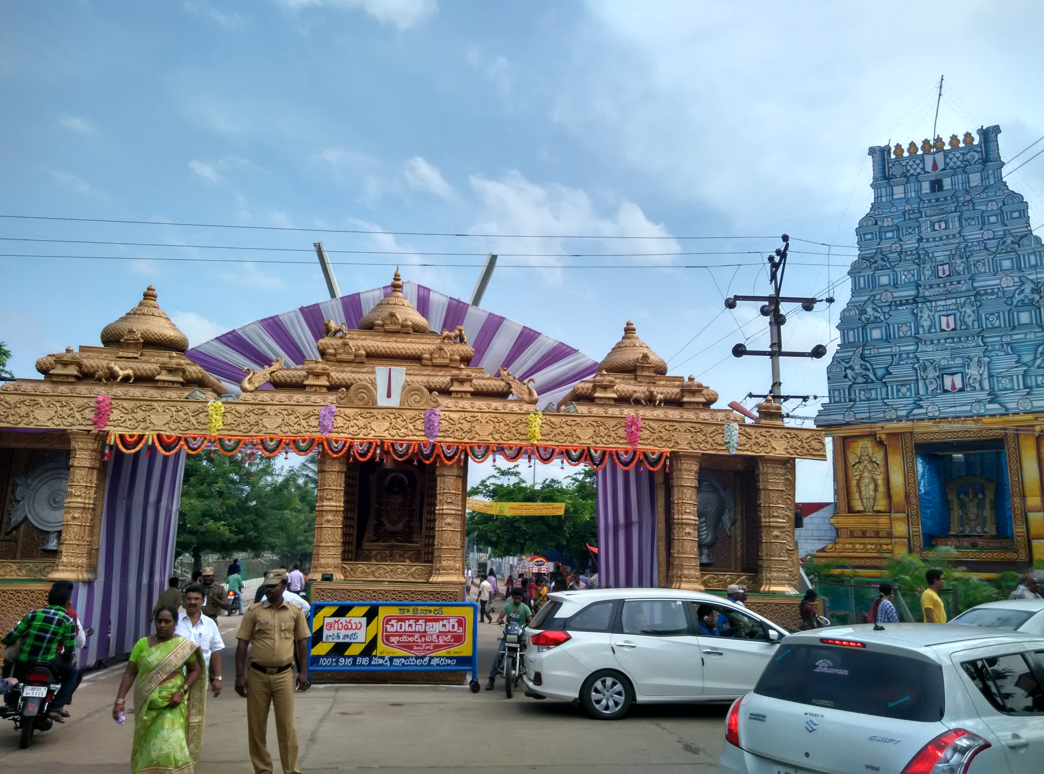
Related Photos:
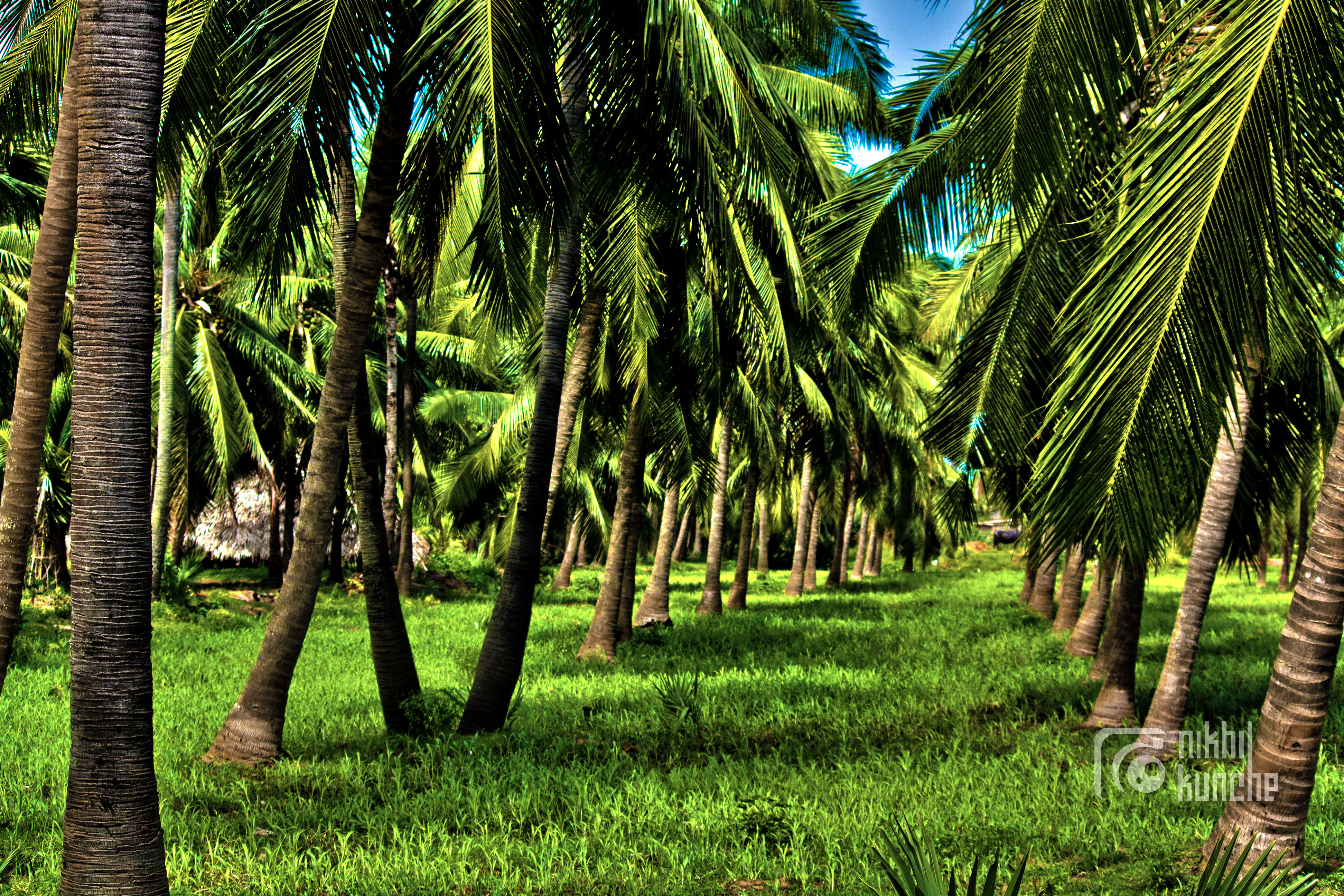
tree love
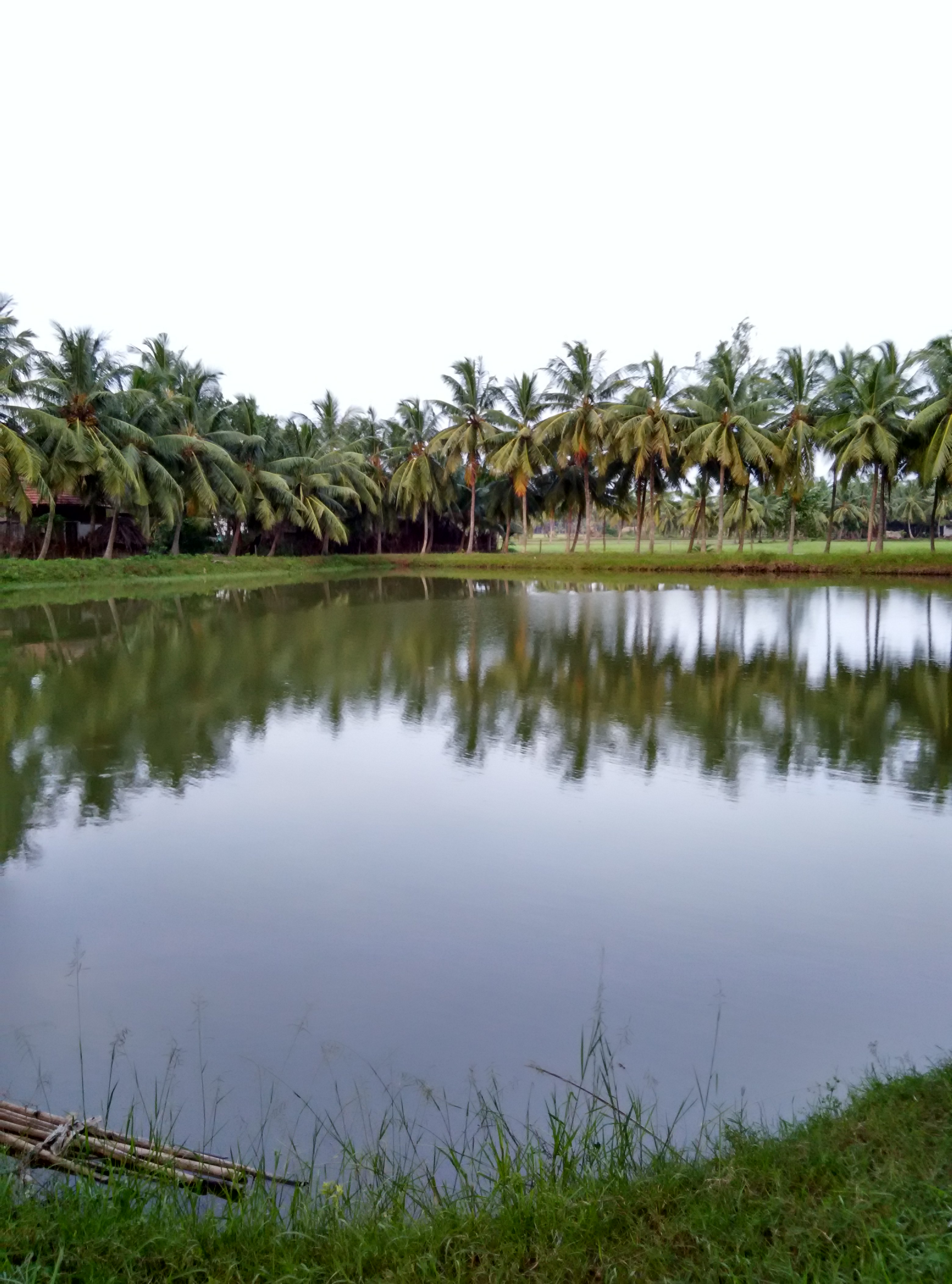
#Konaseema #EastGodavari
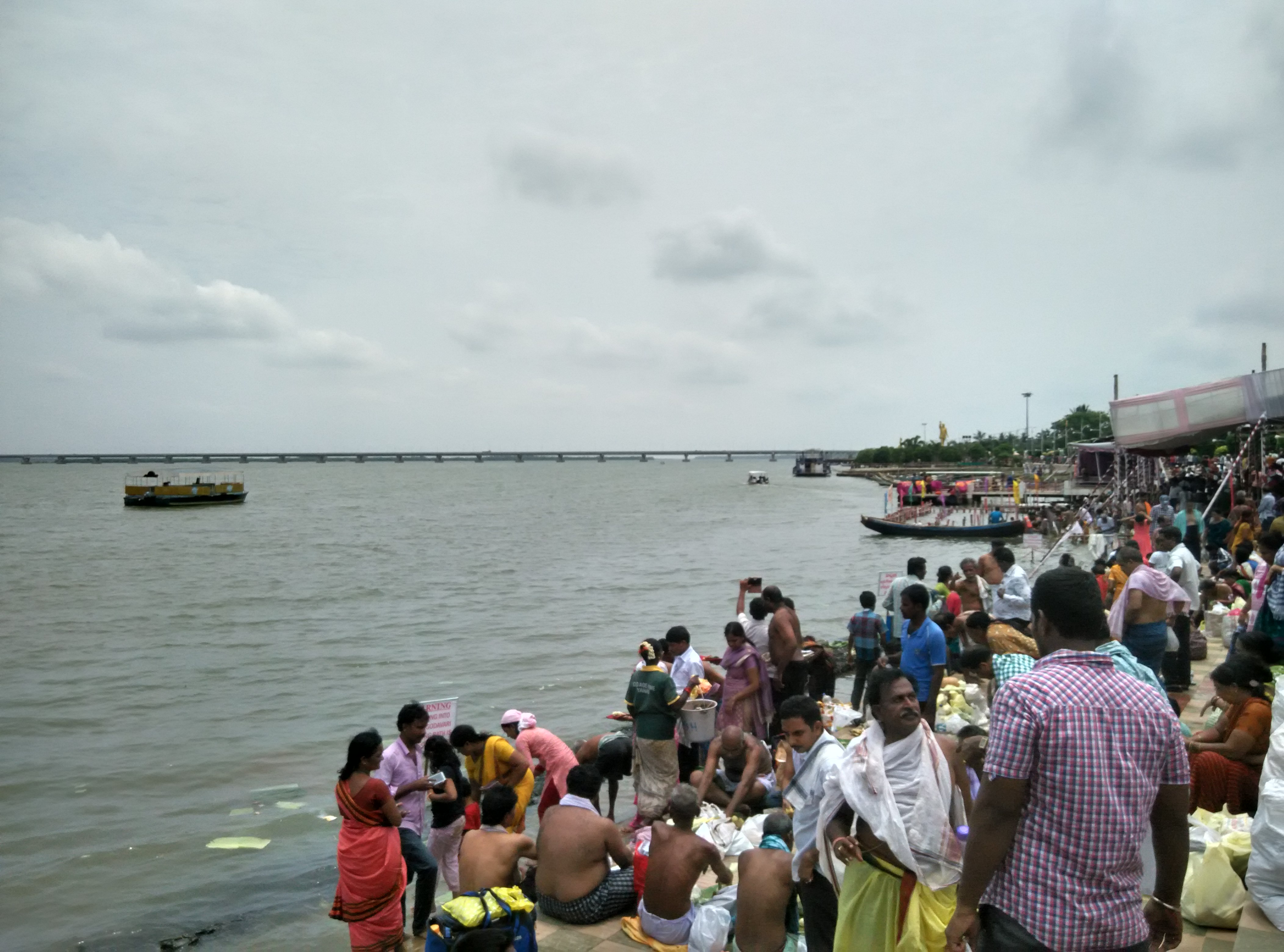
#Pushkaralu #Godavari
#Pushkaralu #Godavari
#Konaseema #EastGodavari
#Konaseema #EastGodavari

#Konaseema #EastGodavari

#Konaseema #EastGodavari
#Konaseema #EastGodavari
#Konaseema #EastGodavari
#Konaseema #EastGodavari
#Konaseema #EastGodavari
#Pushkaralu #Godavari
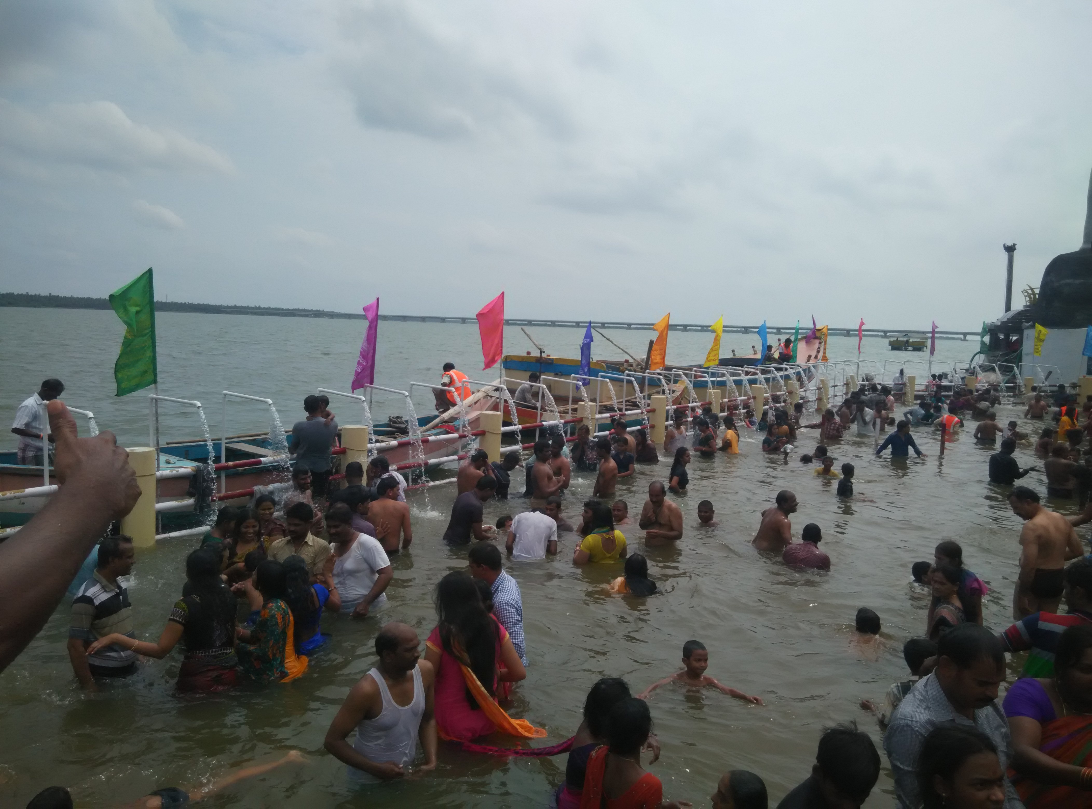
#Pushkaralu #Godavari
Pushkaralu #Godavari
#morning #india #monday #sun #happy #finalfullweek
Topographic Map of Muramalla, Andhra Pradesh, India
Find elevation by address:

Places near Muramalla, Andhra Pradesh, India:
Mummidivaram
Yanam
Potukurru
Magam
Tallarevu
Ainavilli
Amalapuram
Rellugadda
Godilanka
Komaragiripatnam
Aalamuru
Chintalapalli
Peravali
Narsapur
Recent Searches:
- Elevation of Shawnee Avenue, Shawnee Ave, Easton, PA, USA
- Elevation of Scenic Shore Dr, Kingwood Area, TX, USA
- Elevation of W Prive Cir, Delray Beach, FL, USA
- Elevation of S Layton Cir W, Layton, UT, USA
- Elevation of F36W+3M, Mussoorie, Uttarakhand, India
- Elevation of Fairland Ave, Fairhope, AL, USA
- Elevation of Sunset Dr, Richmond, VA, USA
- Elevation of Grodna District, Hrodna Region, Belarus
- Elevation of Hrodna, Hrodna Region, Belarus
- Elevation of Sandia Derby Estates, Tijeras, NM, USA