Elevation of Komaragiripatnam, Andhra Pradesh, India
Location: India > Andhra Pradesh > East Godavari >
Longitude: 81.9998367
Latitude: 16.443952
Elevation: 11m / 36feet
Barometric Pressure: 101KPa
Elevation Map:
Satellite Map:
Related Photos:
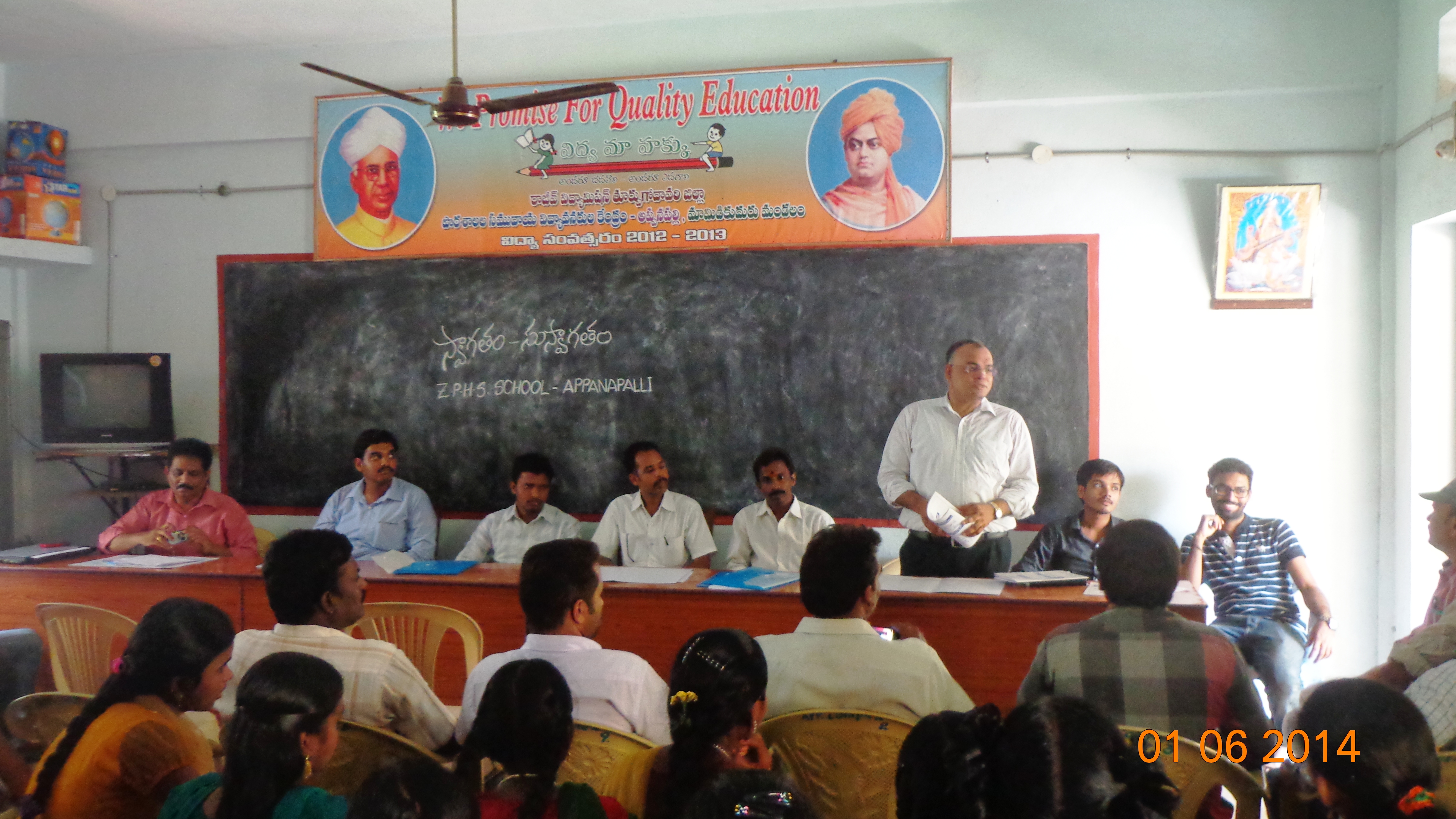
Career Counseling Workshops @ East Godavari District
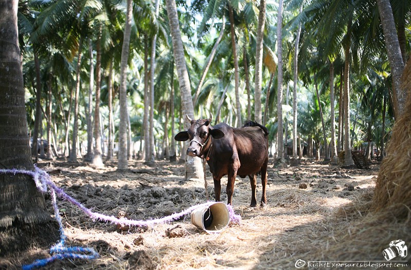
Brown Cow/పుల్లావు

Remote Sessions with Rural School Children
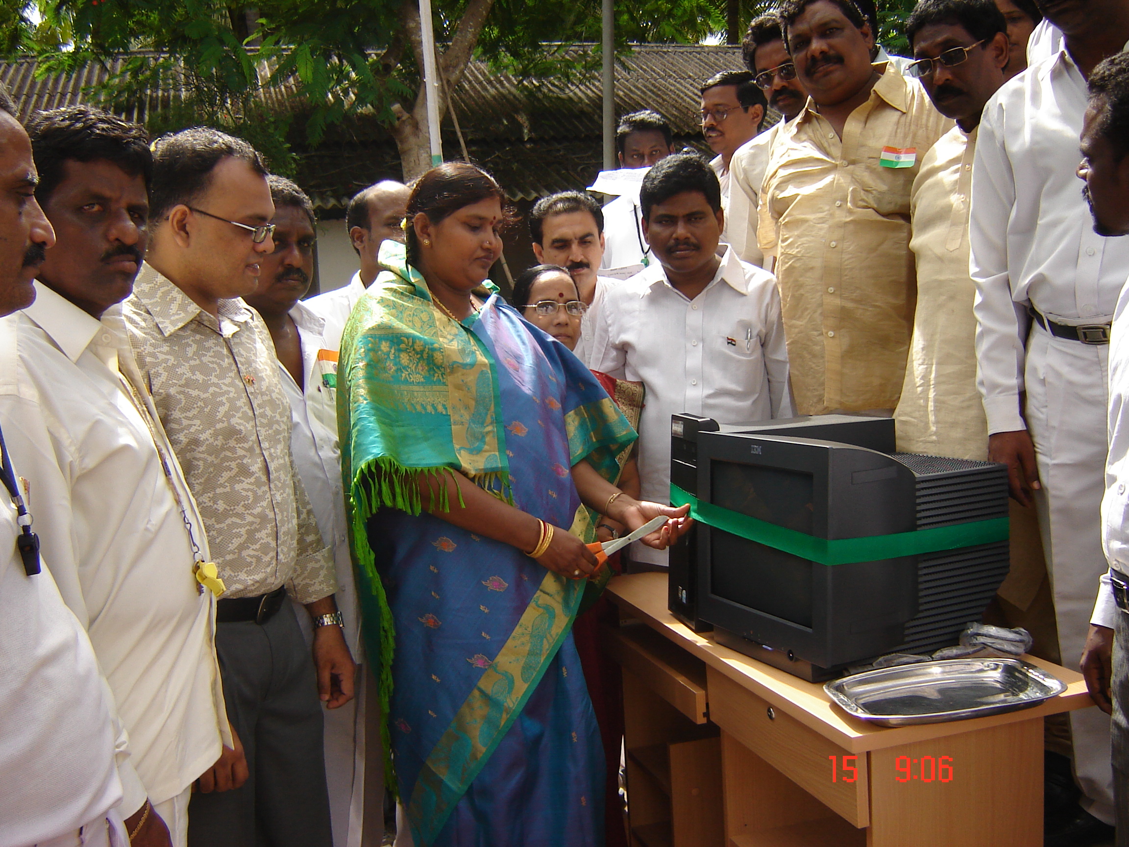
ODC Technology Grant Inaguration at Govt School, Mamidikuduru
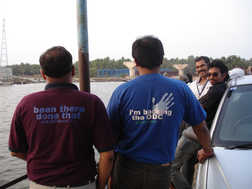
IBM Volunteer during EWeek
Topographic Map of Komaragiripatnam, Andhra Pradesh, India
Find elevation by address:

Places near Komaragiripatnam, Andhra Pradesh, India:
Godilanka
Rellugadda
Amalapuram
Chintalapalli
Magam
Potukurru
Ainavilli
Mummidivaram
Muramalla
Narsapur
Yanam
Aalamuru
Peravali
Tallarevu
Recent Searches:
- Elevation of Panther Dr, Maggie Valley, NC, USA
- Elevation of Jais St - Wadi Shehah - Ras al Khaimah - United Arab Emirates
- Elevation of Shawnee Avenue, Shawnee Ave, Easton, PA, USA
- Elevation of Scenic Shore Dr, Kingwood Area, TX, USA
- Elevation of W Prive Cir, Delray Beach, FL, USA
- Elevation of S Layton Cir W, Layton, UT, USA
- Elevation of F36W+3M, Mussoorie, Uttarakhand, India
- Elevation of Fairland Ave, Fairhope, AL, USA
- Elevation of Sunset Dr, Richmond, VA, USA
- Elevation of Grodna District, Hrodna Region, Belarus