Elevation of Mulhurst, AB T0C, Canada
Location: Canada > Alberta > Division No. 11 >
Longitude: -114.00032
Latitude: 53.0508621
Elevation: 852m / 2795feet
Barometric Pressure: 91KPa
Elevation Map:
Satellite Map:
Related Photos:

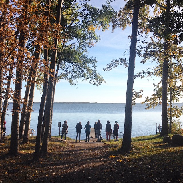
On Land

Dusk lights.
Good morning, CBBC. #cbbcfallretreat

Garden Goof-off
Battle Lake Park Camping (2015-06-07) 02
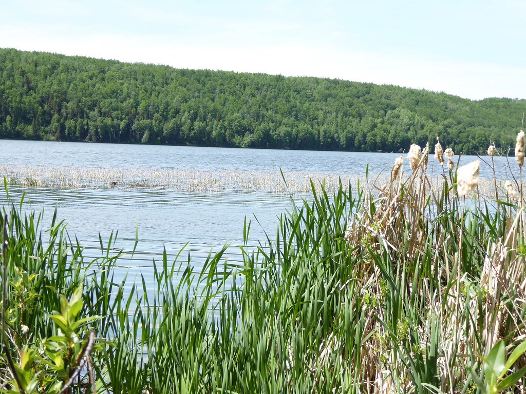
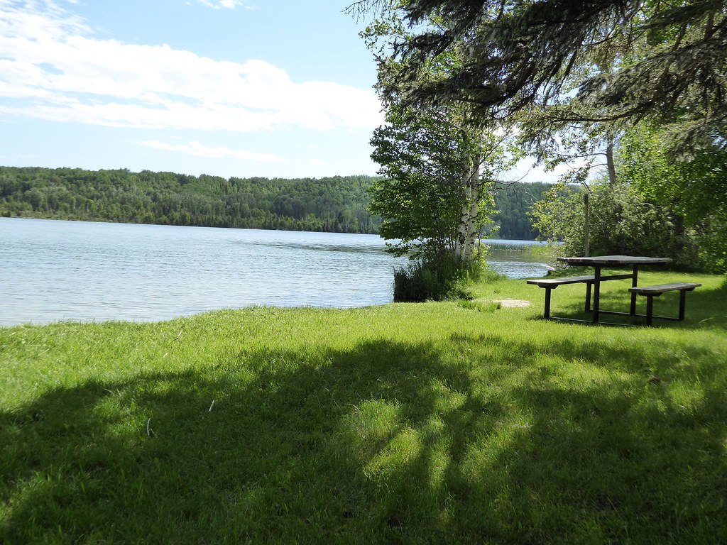
Water and Sky
IMG_4349.jpg
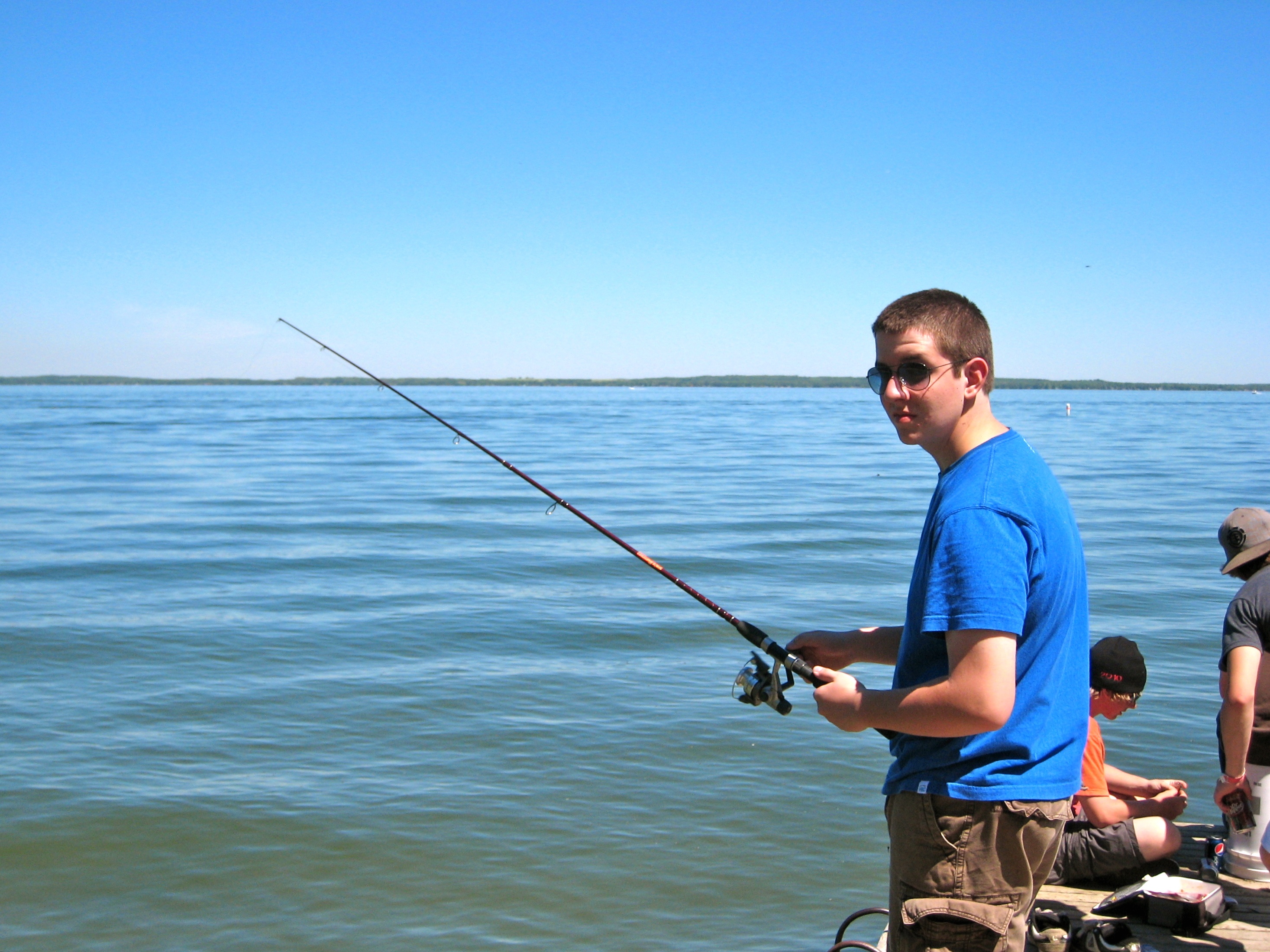
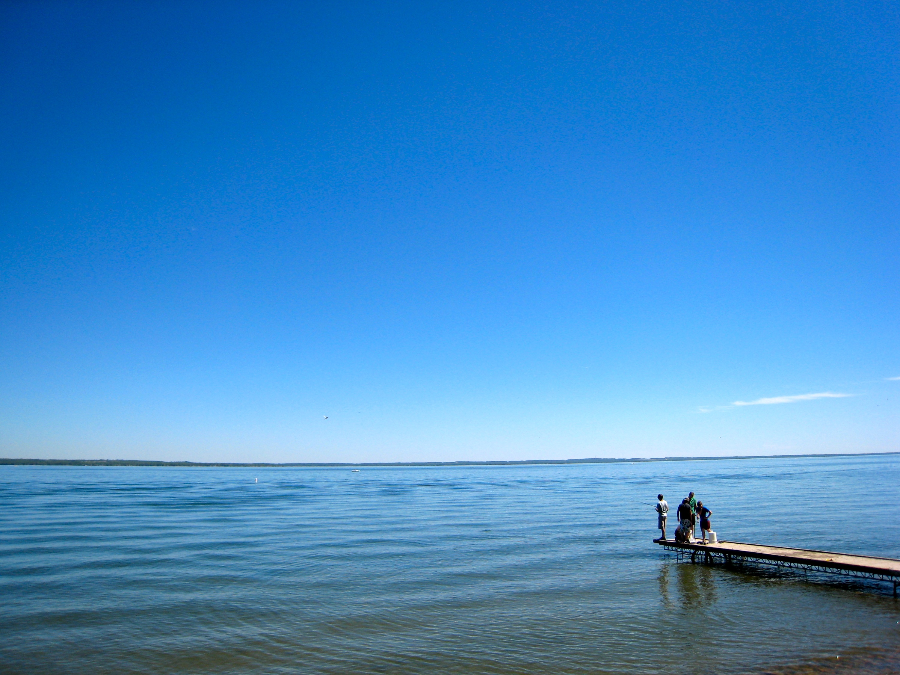
Micah Fishing
Morning commute
The Village at Pigeon Lake
Rundle's Mission

Rundle's Mission
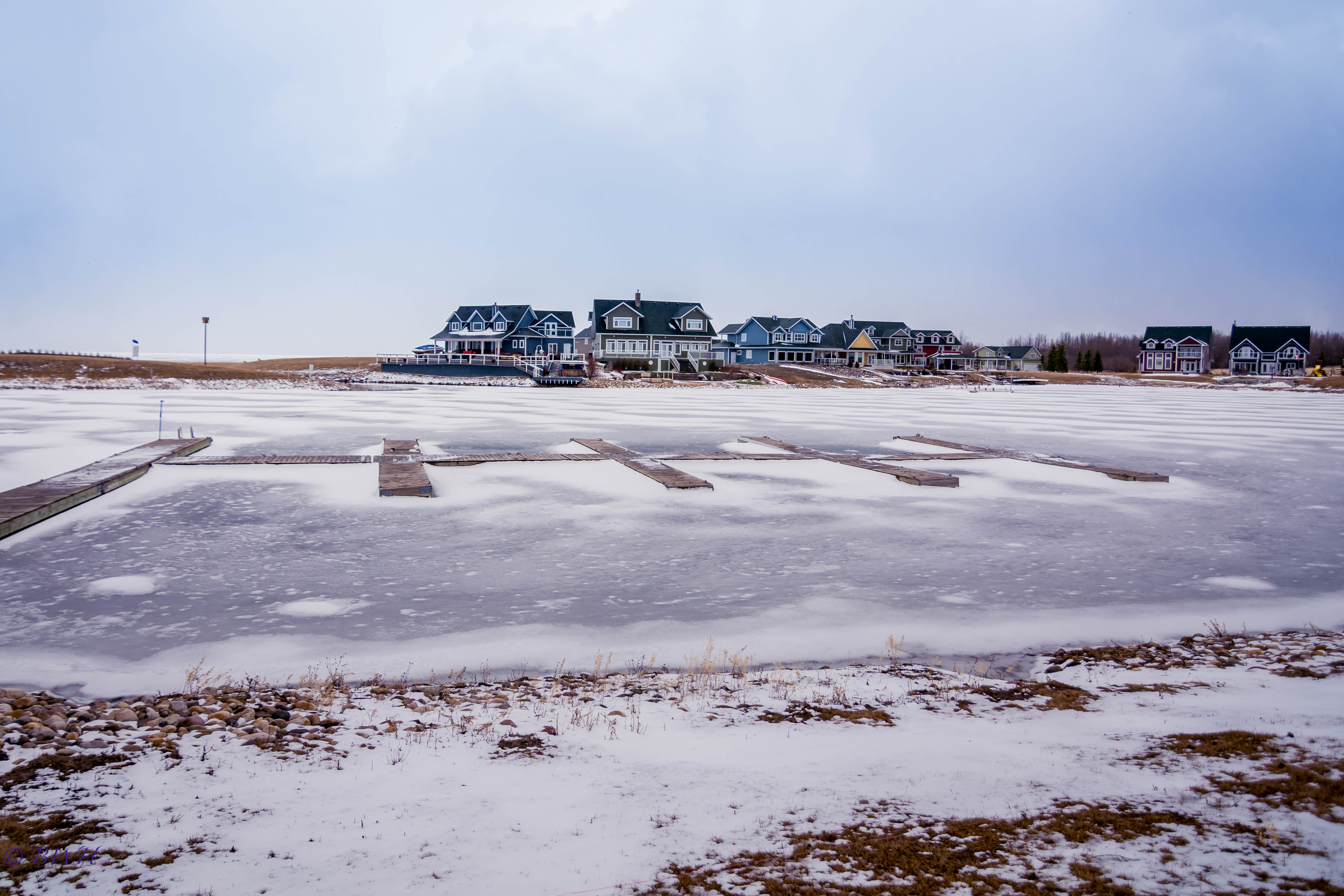
Snowy Lake Harbour

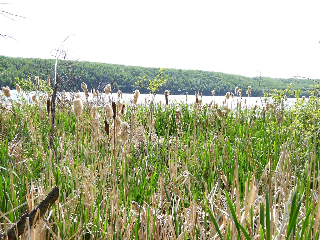
Pigeon Lake break in the way to Rocky Mountain House.
Battle Lake Park Camping (2015-06-08) 09
Battle Lake Park Camping (2015-06-08) 17

Battle Lake Community Baptist Church
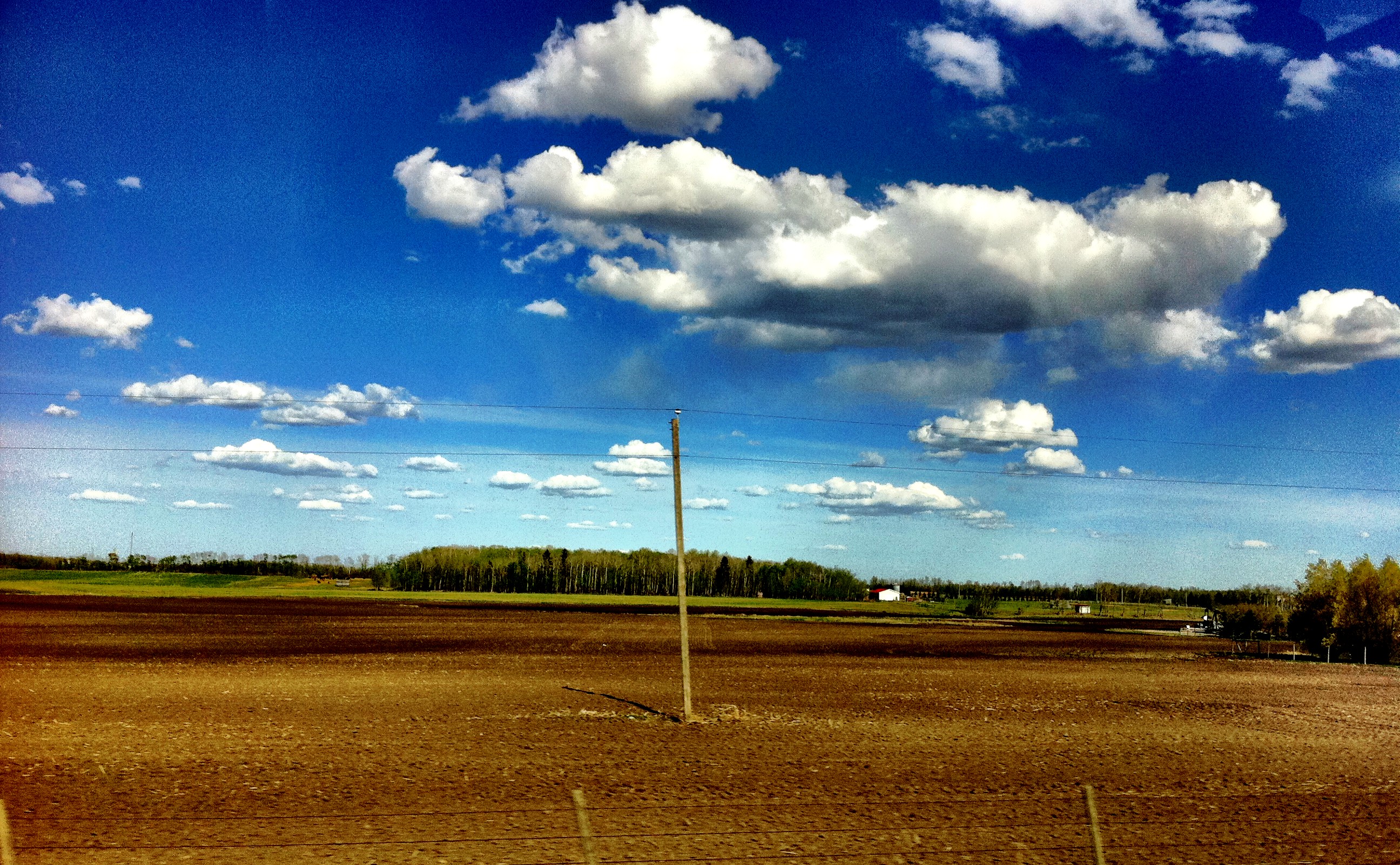
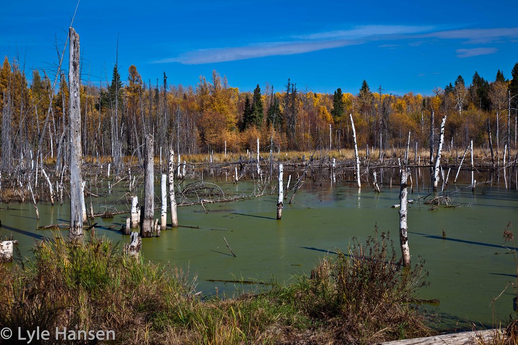
Clouds forever.
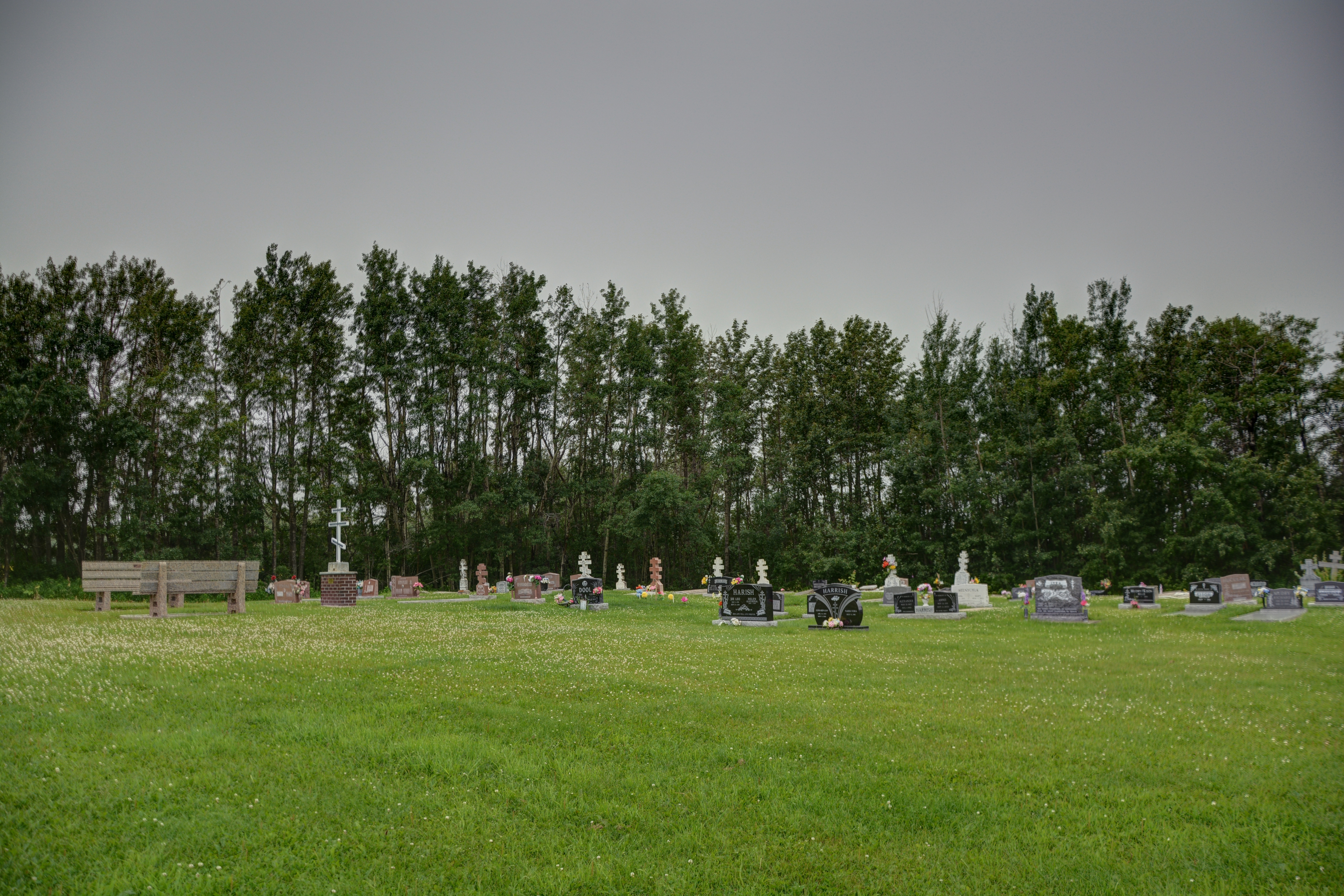
Whitsuntide Russo Orthodox Church, Thorsby AB
Topographic Map of Mulhurst, AB T0C, Canada
Find elevation by address:

Places in Mulhurst, AB T0C, Canada:
Places near Mulhurst, AB T0C, Canada:
21 59 Ave, Mulhurst, AB T0C 2C0, Canada
Argentia Beach
31a
Golden Days
Golden Days
Golden Days
Golden Days
Golden Days
Golden Days
Golden Days
Golden Days
Westerose
9 Village Dr
9 Village Dr
9 Village Dr
Pigeon Lake
Sundance Beach
50 Park Rd, Mulhurst, AB T0C 2C0, Canada
Range Rd 15, Wetaskiwin County No. 10, AB T0C 2V0, Canada
Recent Searches:
- Elevation of Congressional Dr, Stevensville, MD, USA
- Elevation of Bellview Rd, McLean, VA, USA
- Elevation of Stage Island Rd, Chatham, MA, USA
- Elevation of Shibuya Scramble Crossing, 21 Udagawacho, Shibuya City, Tokyo -, Japan
- Elevation of Jadagoniai, Kaunas District Municipality, Lithuania
- Elevation of Pagonija rock, Kranto 7-oji g. 8"N, Kaunas, Lithuania
- Elevation of Co Rd 87, Jamestown, CO, USA
- Elevation of Tenjo, Cundinamarca, Colombia
- Elevation of Côte-des-Neiges, Montreal, QC H4A 3J6, Canada
- Elevation of Bobcat Dr, Helena, MT, USA