Elevation map of Division No. 11, AB, Canada
Location: Canada > Alberta >
Longitude: -114.25121
Latitude: 53.164996
Elevation: 810m / 2657feet
Barometric Pressure: 92KPa
Elevation Map:
Satellite Map:
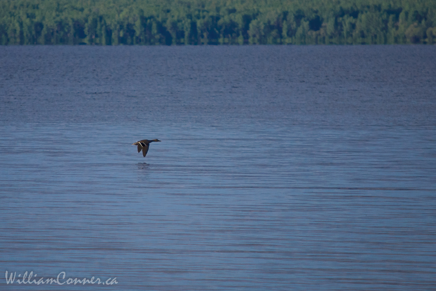
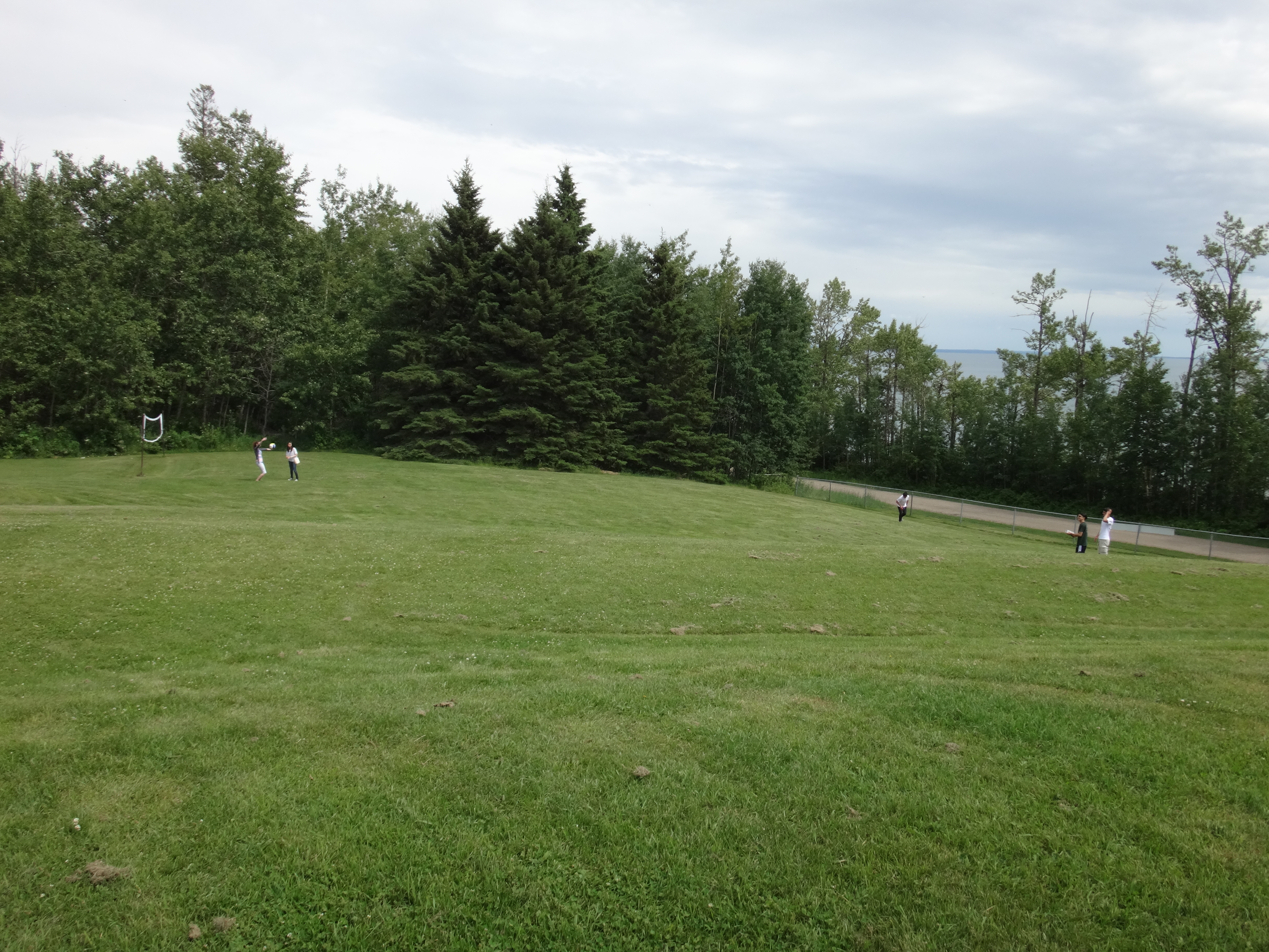
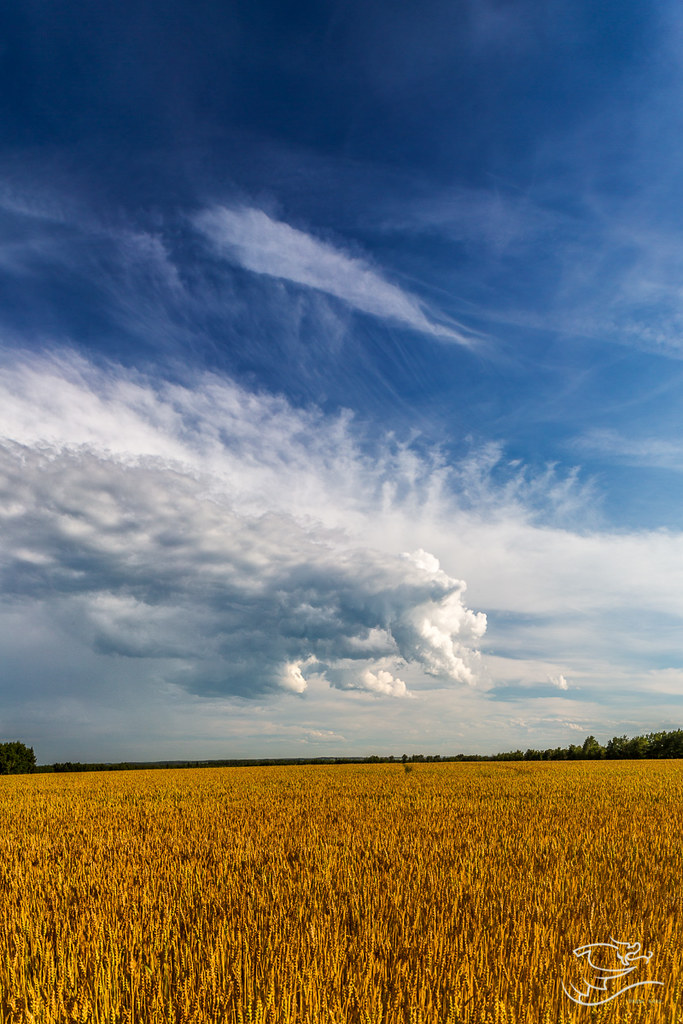
Related Photos:

On Land
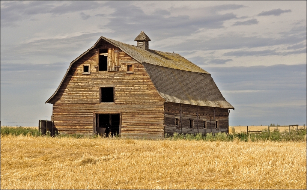
Log Barn

Dusk lights.
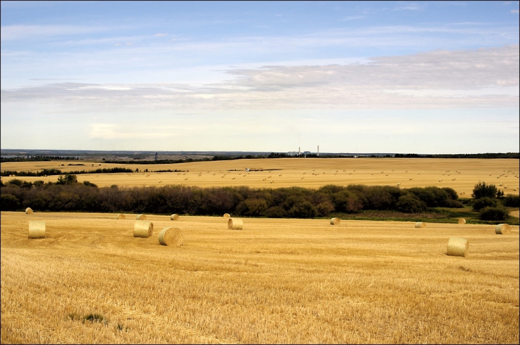
Picking up bales
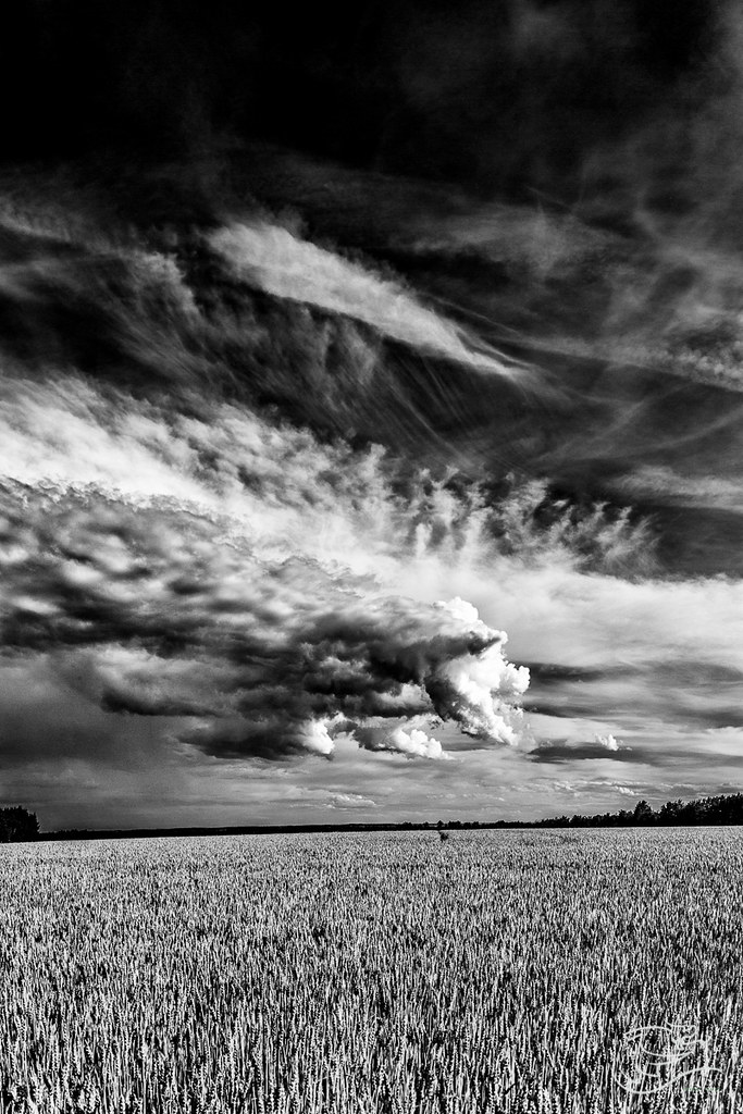
Harvest Sky

Garden Goof-off
IMG_4349.jpg
Morning commute
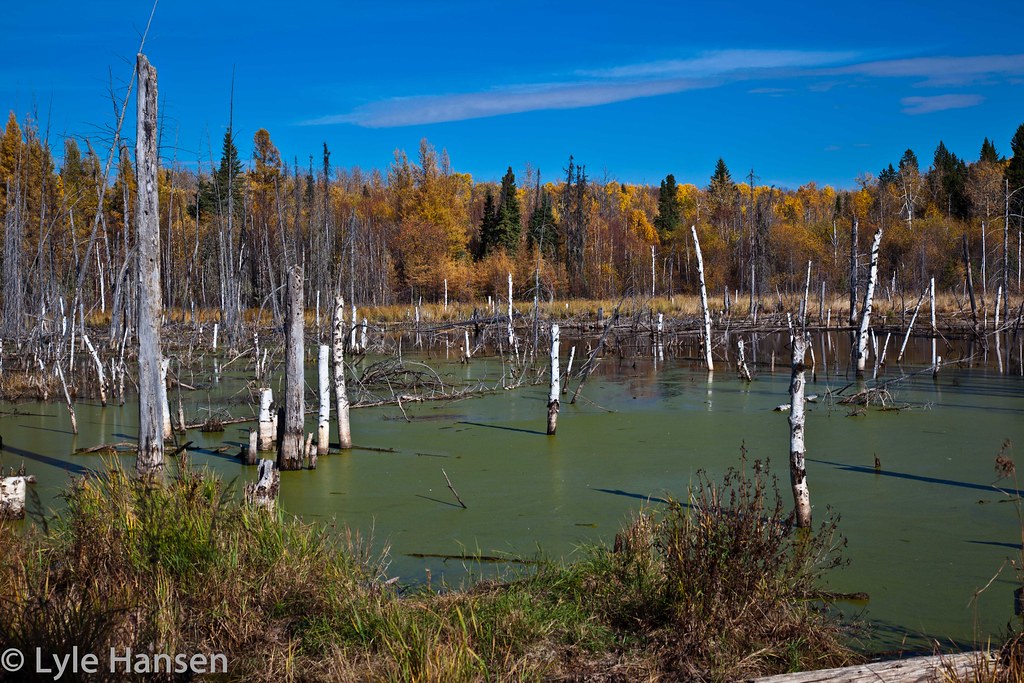
Rundle's Mission

Rundle's Mission
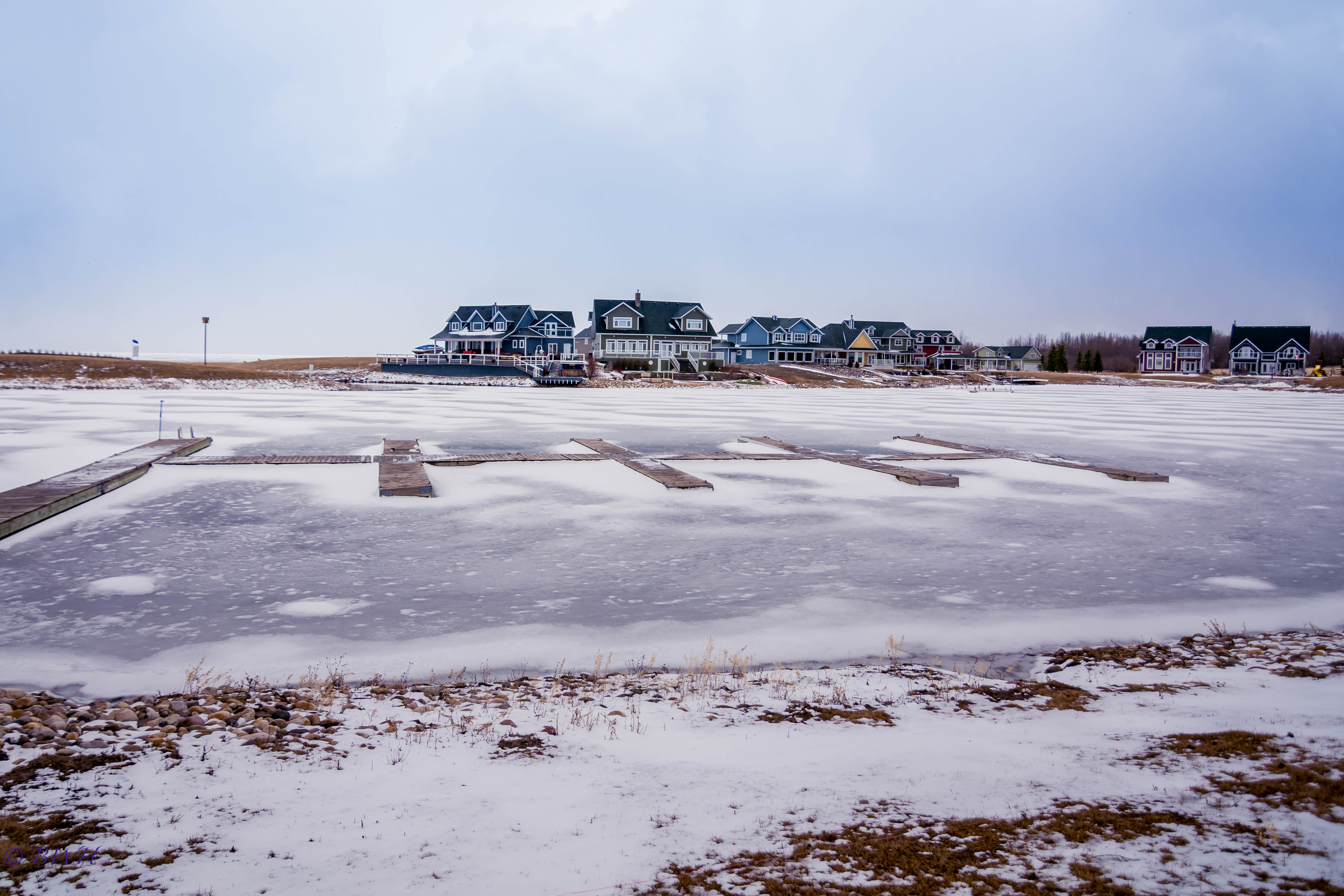
Snowy Lake Harbour
_K3_3660-Edit.jpg
Topographic Map of Division No. 11, AB, Canada
Find elevation by address:

Places in Division No. 11, AB, Canada:
Edmonton
Strathcona County
Sturgeon County
Parkland County
Spruce Grove
Wetaskiwin County No. 10
Seba Beach
Morinville
Sundance Beach
Golden Days
Breton
Argentia Beach
Gibbons
Millet
Leduc County
Mulhurst
Leduc
Calmar
Brazeau No. 77
St, Fort Saskatchewan, AB T8L 2C5, Canada
Golden Days
Golden Days
Golden Days
Golden Days
Golden Days
Golden Days
Golden Days
45 50 St, Bon Accord, AB T0A 0K0, Canada
50 Ave, Thorsby, AB T0C 2P0, Canada
Erie St, Devon, AB T9G 1G5, Canada
Warburg
Devon
Wabamun
St. Albert
Wetaskiwin
Fort Saskatchewan
Places near Division No. 11, AB, Canada:
Warburg
50 Park Rd, Mulhurst, AB T0C 2C0, Canada
Sundance Beach
Pigeon Lake
50 Ave, Thorsby, AB T0C 2P0, Canada
Thorsby
Golden Days
Golden Days
Golden Days
Golden Days
Golden Days
Golden Days
Golden Days
Golden Days
Range Road 23
50 Ave, Breton, AB T0C 0P0, Canada
Breton
31a
Range Rd 15, Wetaskiwin County No. 10, AB T0C 2V0, Canada
Argentia Beach
Recent Searches:
- Elevation of Corso Fratelli Cairoli, 35, Macerata MC, Italy
- Elevation of Tallevast Rd, Sarasota, FL, USA
- Elevation of 4th St E, Sonoma, CA, USA
- Elevation of Black Hollow Rd, Pennsdale, PA, USA
- Elevation of Oakland Ave, Williamsport, PA, USA
- Elevation of Pedrógão Grande, Portugal
- Elevation of Klee Dr, Martinsburg, WV, USA
- Elevation of Via Roma, Pieranica CR, Italy
- Elevation of Tavkvetili Mountain, Georgia
- Elevation of Hartfords Bluff Cir, Mt Pleasant, SC, USA