Elevation of Mueang Narathiwat District, Narathiwat, Thailand
Location: Mueang Narathiwat District > Narathiwat >
Longitude: 101.825331
Latitude: 6.4254099
Elevation: 8m / 26feet
Barometric Pressure: 101KPa
Elevation Map:
Satellite Map:
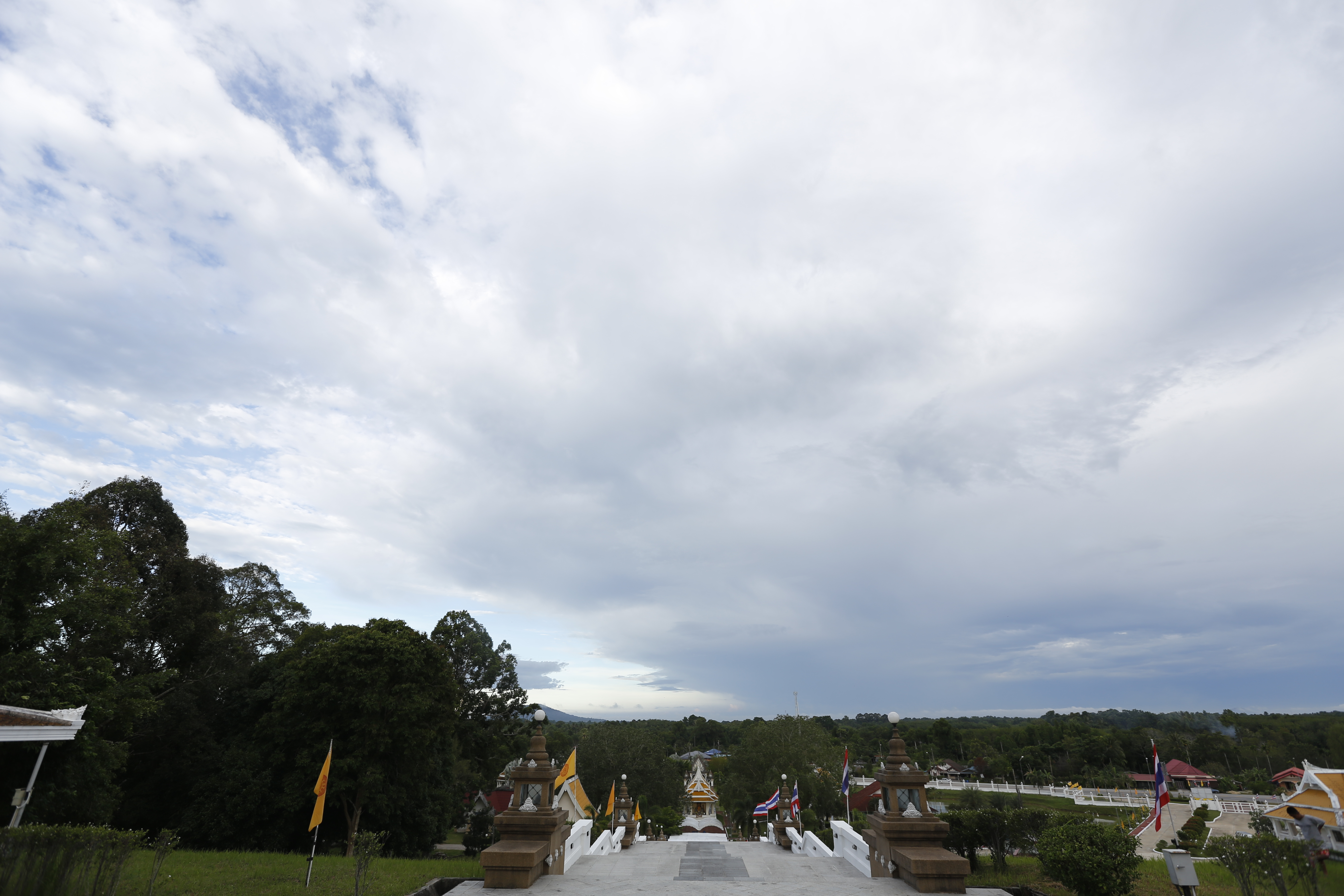
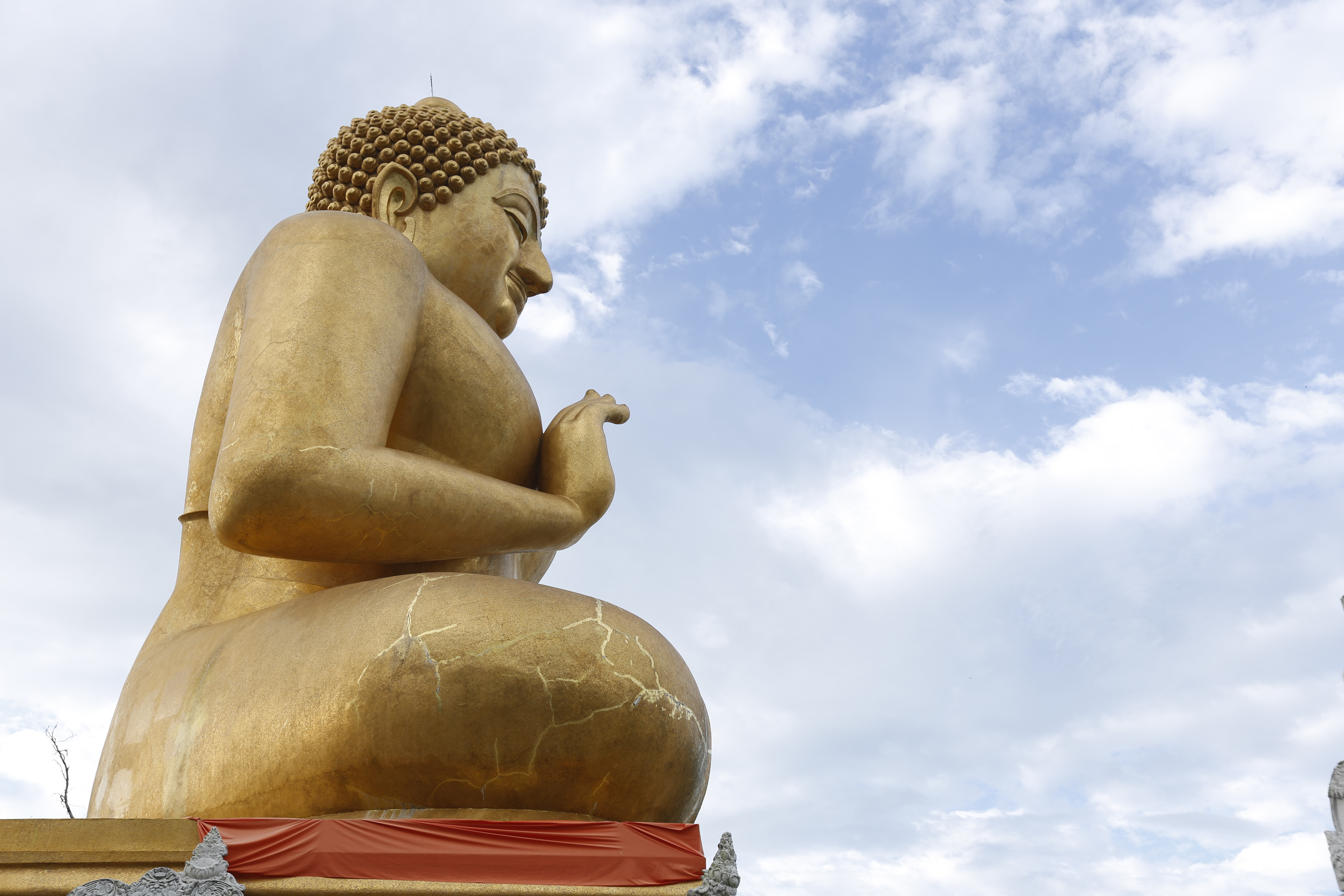
Related Photos:

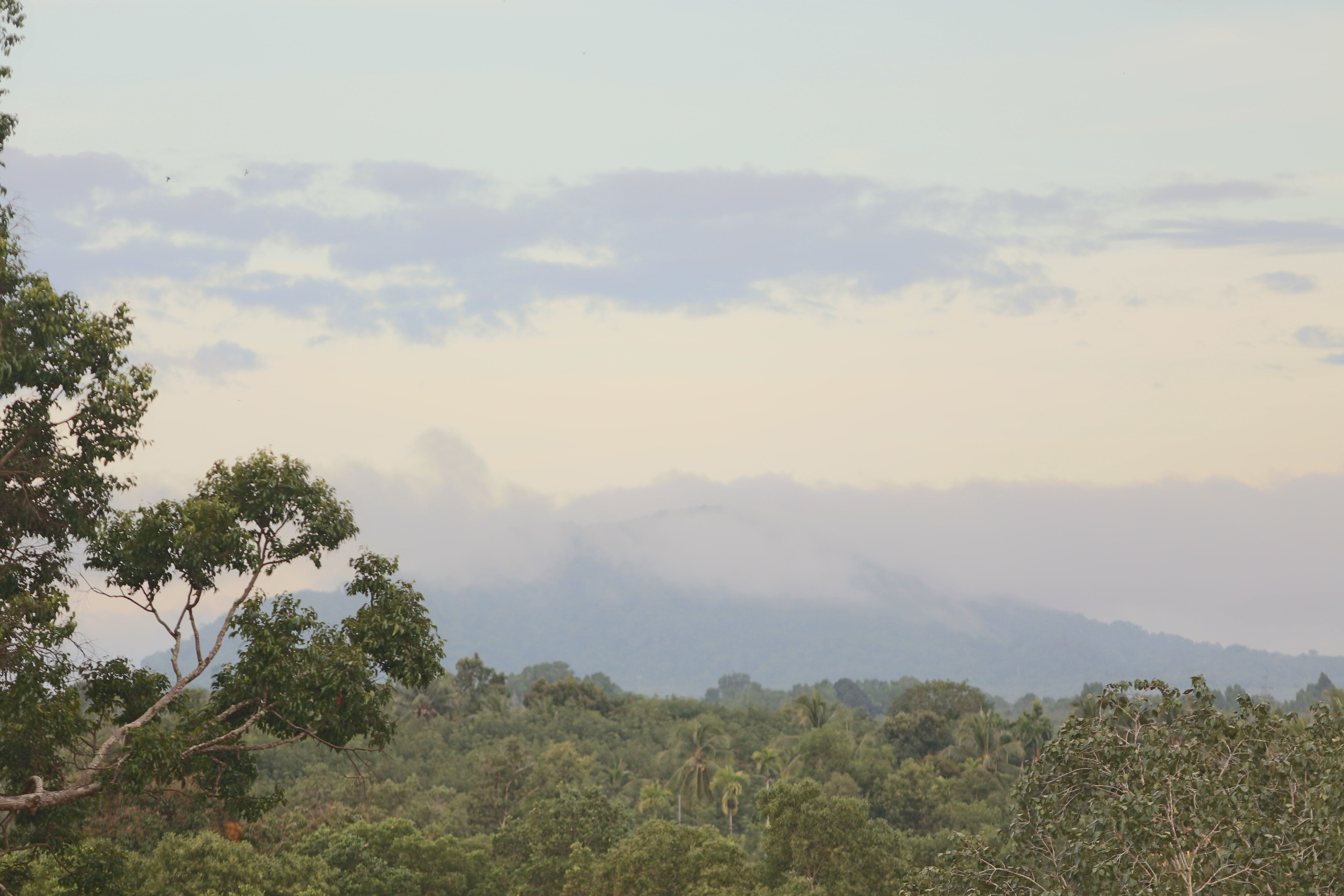
Fish Village
IMG_0527

_MG_0550

_MG_0548

_MG_0547

_MG_0546

_MG_0537

_MG_0533

_MG_0521

_MG_0520
_MG_0519

_MG_0518

_MG_0516

_MG_0515

_MG_0514
_MG_0513

_MG_0512

_MG_0511

_MG_0508

_MG_0507

_MG_0506

_MG_0504
Topographic Map of Mueang Narathiwat District, Narathiwat, Thailand
Find elevation by address:

Places in Mueang Narathiwat District, Narathiwat, Thailand:
Places near Mueang Narathiwat District, Narathiwat, Thailand:
Narathiwat
Narathiwat
Kaluwo Nuea
Thaksin Ratchaniwet Palace
Pasir Mas
Kampung Sungai Keladi
Kota Bharu
Kelantan
Kota Bharu
Sekolah Kebangsaan Salor
Masjid Kampung Laut
Pattani
Masjid Alihsaan Mukim Bukit Panau
Titiwangsa Mountains
Pusat Internet Kg Kalai, Jeli
Masjid Kampung Kalai
Tanah Merah
Timur-barat Highway
Gunung Reng
Jeli
Recent Searches:
- Elevation of 6 Muir St, Medowie NSW, Australia
- Elevation of Woodland Road, Woodland Rd, Lee, MA, USA
- Elevation of Turner Mill Rd, Talladega, AL, USA
- Elevation of Wylie Ridge Rd, New Cumberland, WV, USA
- Elevation of Dogwood Ln, Millsboro, DE, USA
- Elevation of Paseo Lucido, San Diego, CA, USA
- Elevation of W S, Orem, UT, USA
- Elevation of Water Bird Wy, Punta Gorda, FL, USA
- Elevation of Teiskontie 8, Tampere, Finland
- Elevation of Pacific View Dr, Malibu, CA, USA