Elevation of Mu Gompa, Chhokangparo, Nepal
Location: Nepal > Western Region > Gandaki > Chhokangparo >
Longitude: 85.1082516
Latitude: 28.5855015
Elevation: 3741m / 12274feet
Barometric Pressure: 64KPa
Elevation Map:
Satellite Map:
Related Photos:
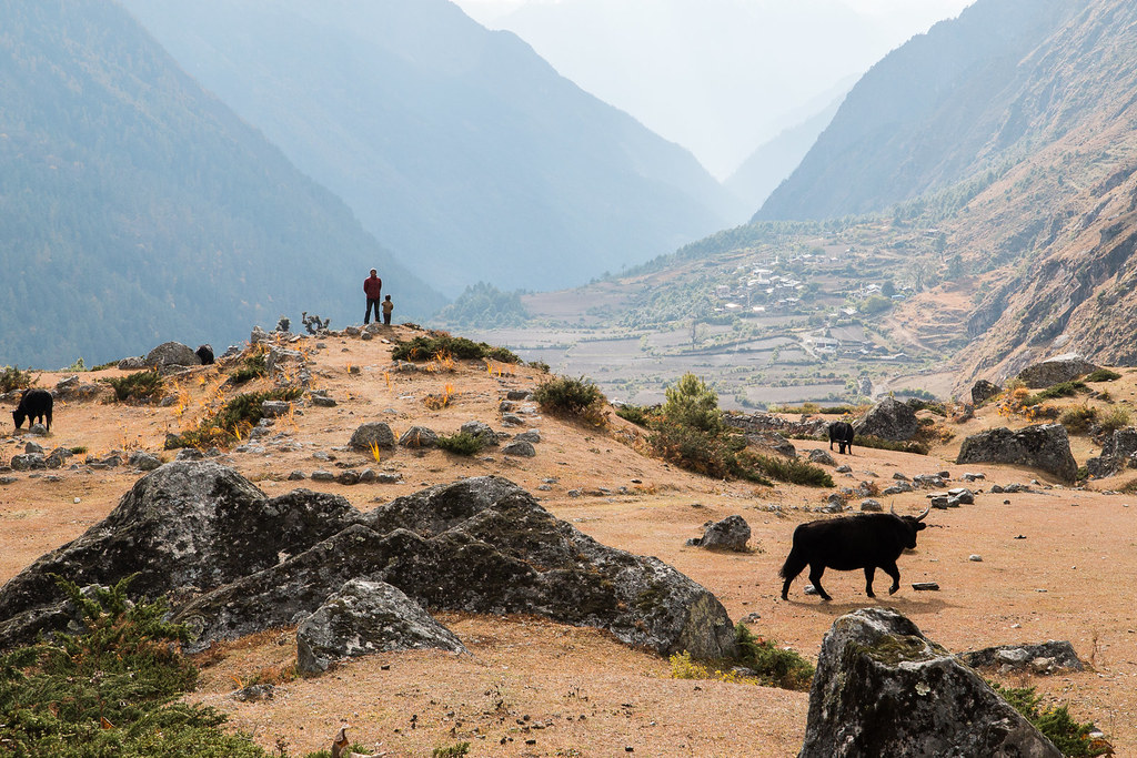
A Fine View Son
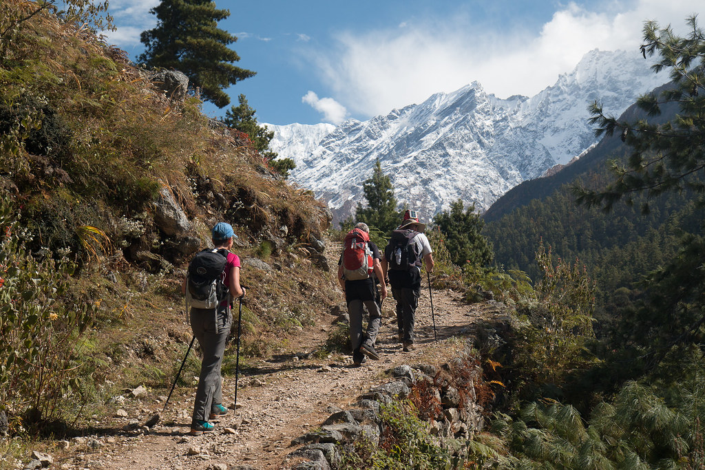
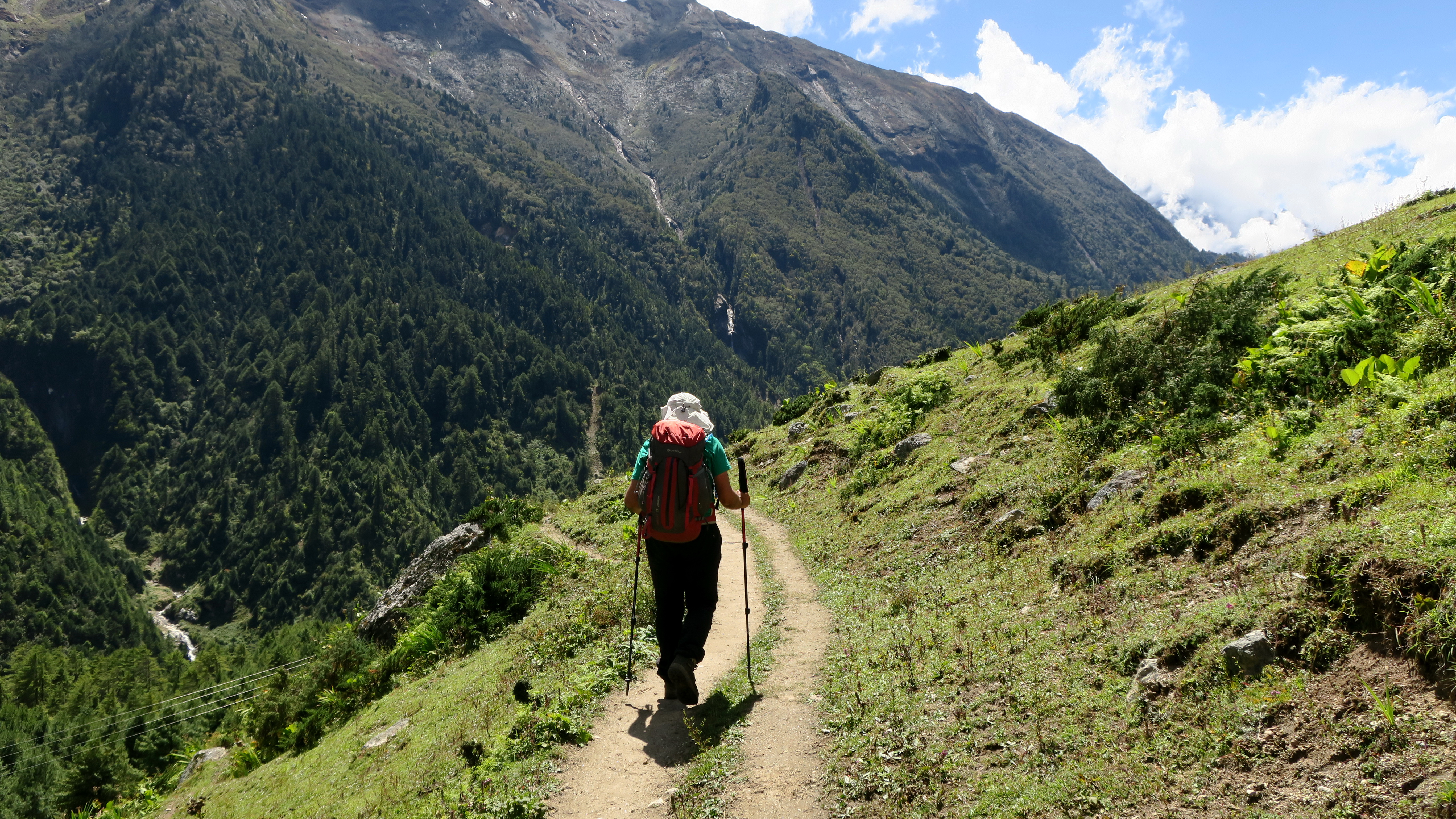
A Pleasant Stroll
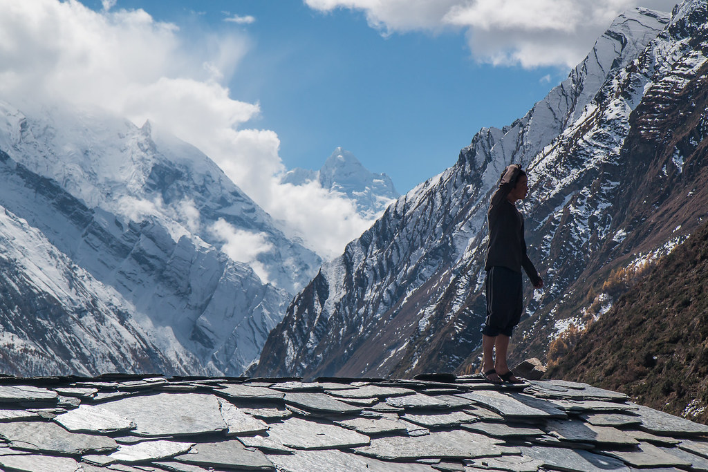
Up on the Roof
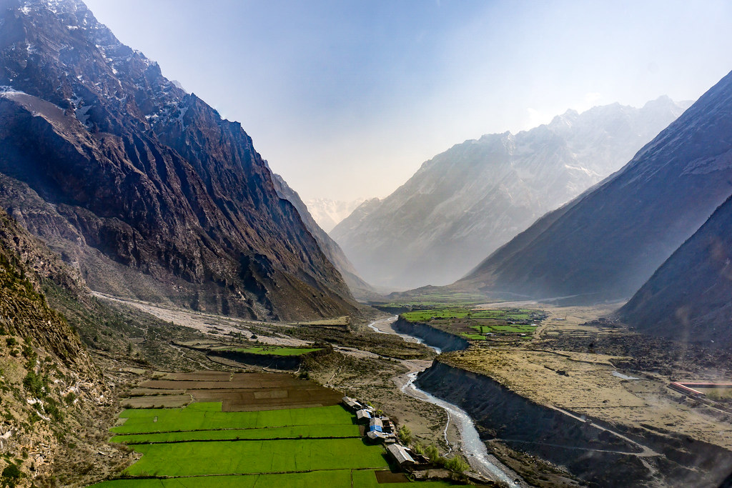
First View of Tsum Valley from the Helicopter
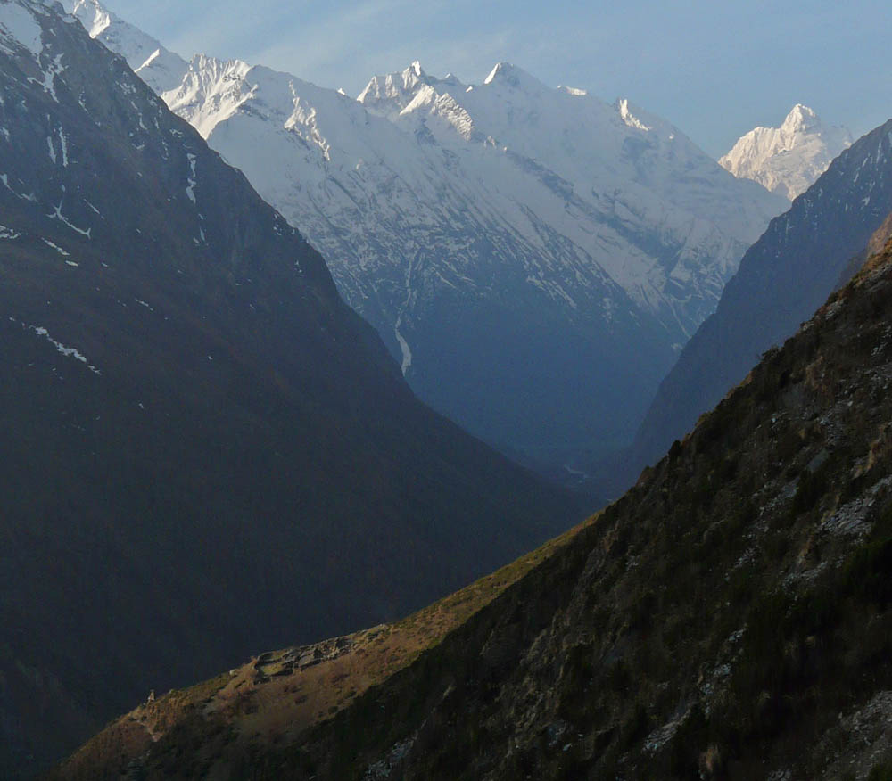
Ganesh Himal from Mu Gompa
_DSC0229_DxO6.jpg

066-Tsum Valley Trek-Chule-Ganesh Ridge
070-Tsum Valley Trek-Chhokang

051-Tsum Valley Trek-Chule

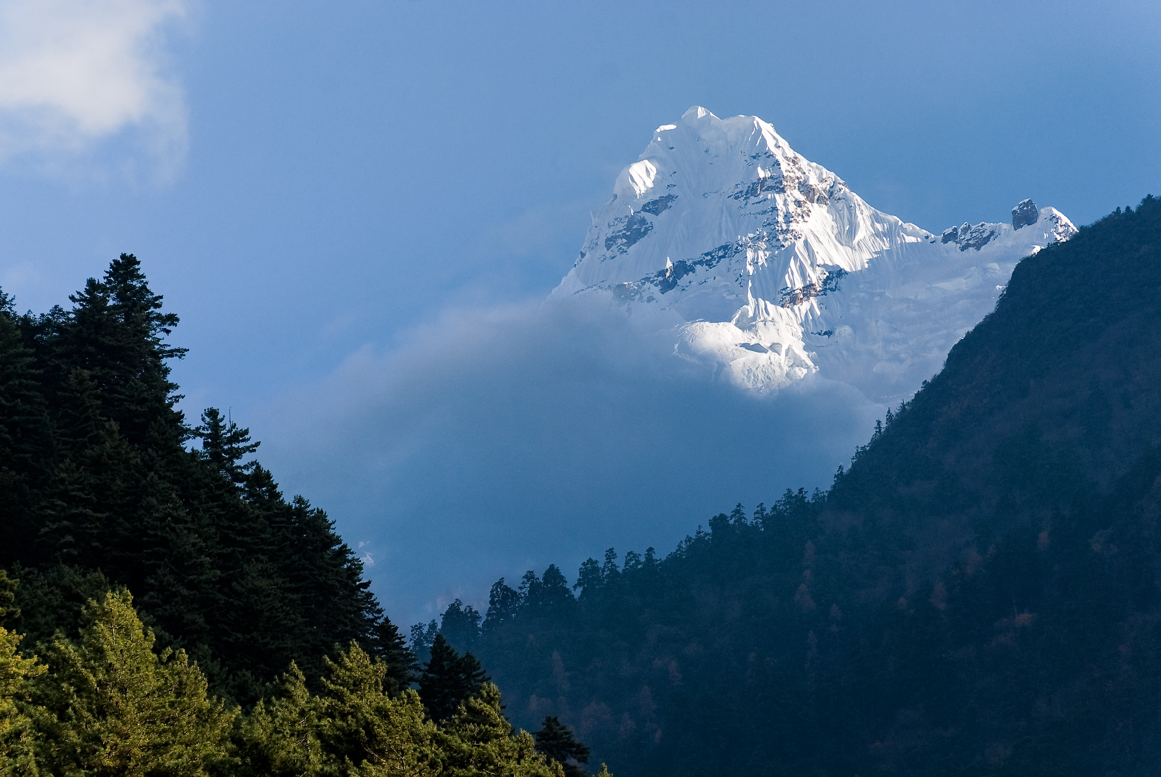
062-Tsum Valley Trek-Ganesh II (7118m)

067-Tsum Valley Trek-Chule

065-Tsum Valley Trek-Chule
052-Tsum Valley Trek-Budhi Gandaki

072-Tsum Valley Trek-Gho

064-Tsum Valley Trek-Chule
050-Tsum Valley Trek-Lar

069-Tsum Valley Trek-Phurbe

041-Tsum Valley Trek-Domje
Windy day in Chhokang, Tsum Valley, Nepal
PB200252 Panorama

061-Tsum Valley Trek-Mu Gompa
Topographic Map of Mu Gompa, Chhokangparo, Nepal
Find elevation by address:

Places near Mu Gompa, Chhokangparo, Nepal:
Chhokangparo
Nile
Chumchet
Chamar
Chumling
Yangra
Ganesh Himal
Bihi
Lokpa
Deng
Kerauja
Philim
Jilongzhen
Gatlang
Gyirong
佩枯错
Namrung
Sirdibas
Prok
Tatopani
Recent Searches:
- Elevation of 15th Ave SE, St. Petersburg, FL, USA
- Elevation of Beall Road, Beall Rd, Florida, USA
- Elevation of Leguwa, Nepal
- Elevation of County Rd, Enterprise, AL, USA
- Elevation of Kolchuginsky District, Vladimir Oblast, Russia
- Elevation of Shustino, Vladimir Oblast, Russia
- Elevation of Lampiasi St, Sarasota, FL, USA
- Elevation of Elwyn Dr, Roanoke Rapids, NC, USA
- Elevation of Congressional Dr, Stevensville, MD, USA
- Elevation of Bellview Rd, McLean, VA, USA