Elevation of Mt Rainier Ave, Milpitas, CA, USA
Location: United States > California > Santa Clara County > Milpitas >
Longitude: -121.87365
Latitude: 37.4257637
Elevation: 32m / 105feet
Barometric Pressure: 101KPa
Elevation Map:
Satellite Map:
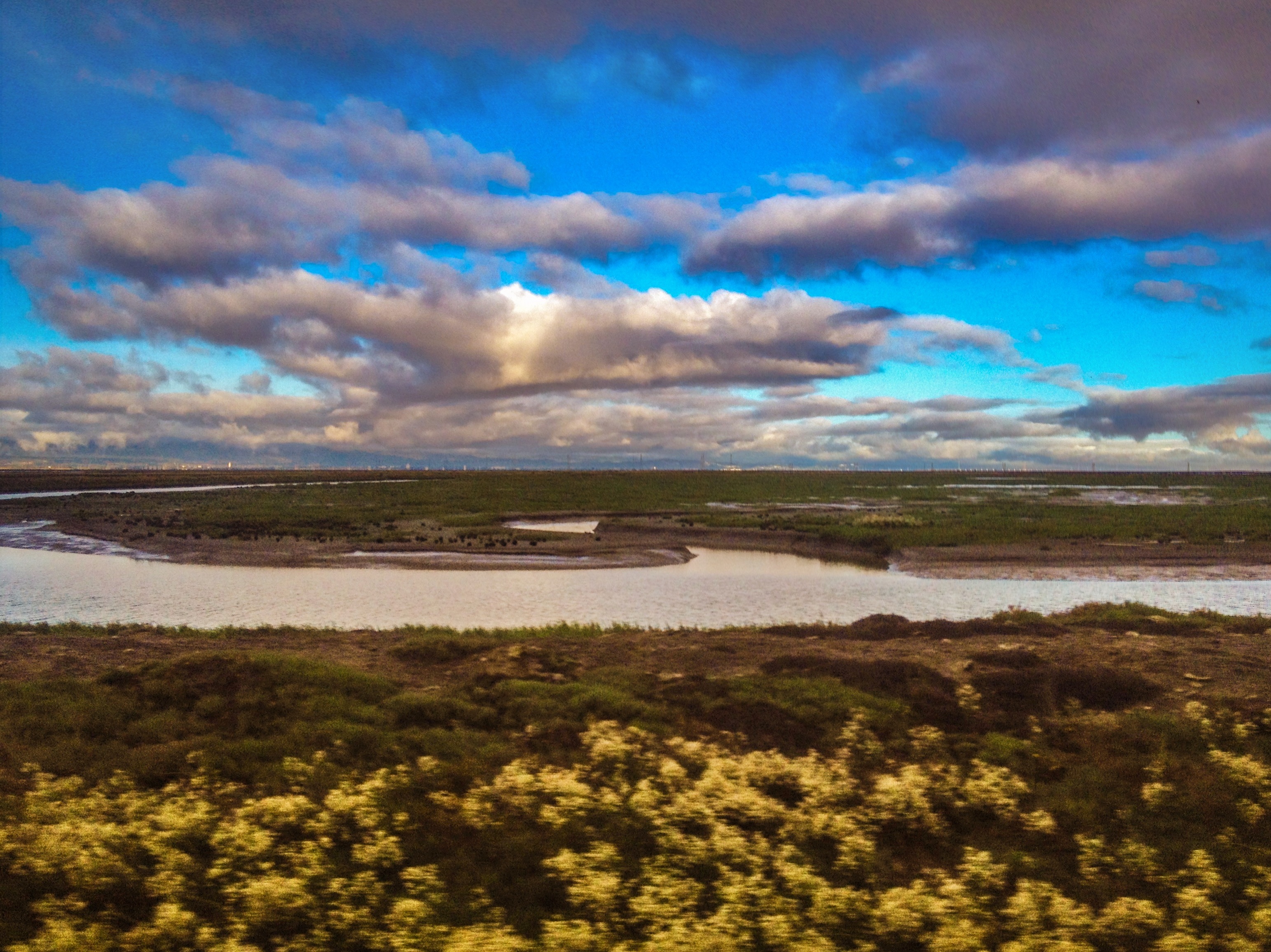
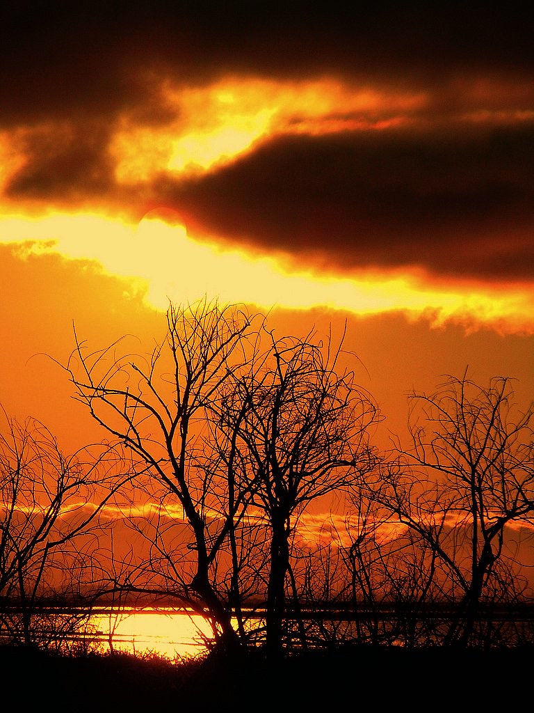
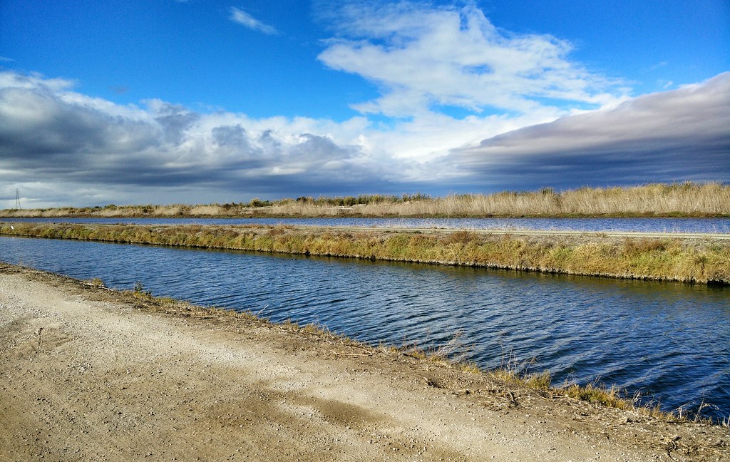
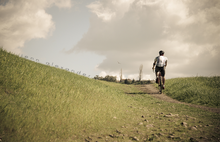
Related Photos:
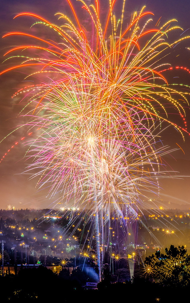
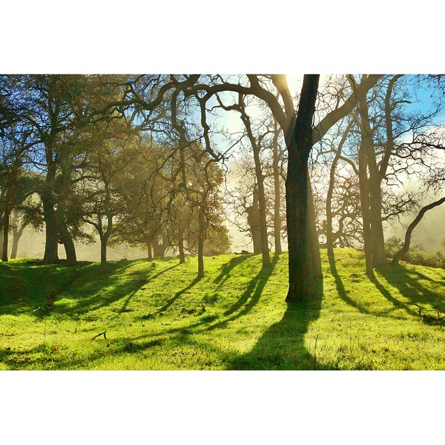
Explosions of Light
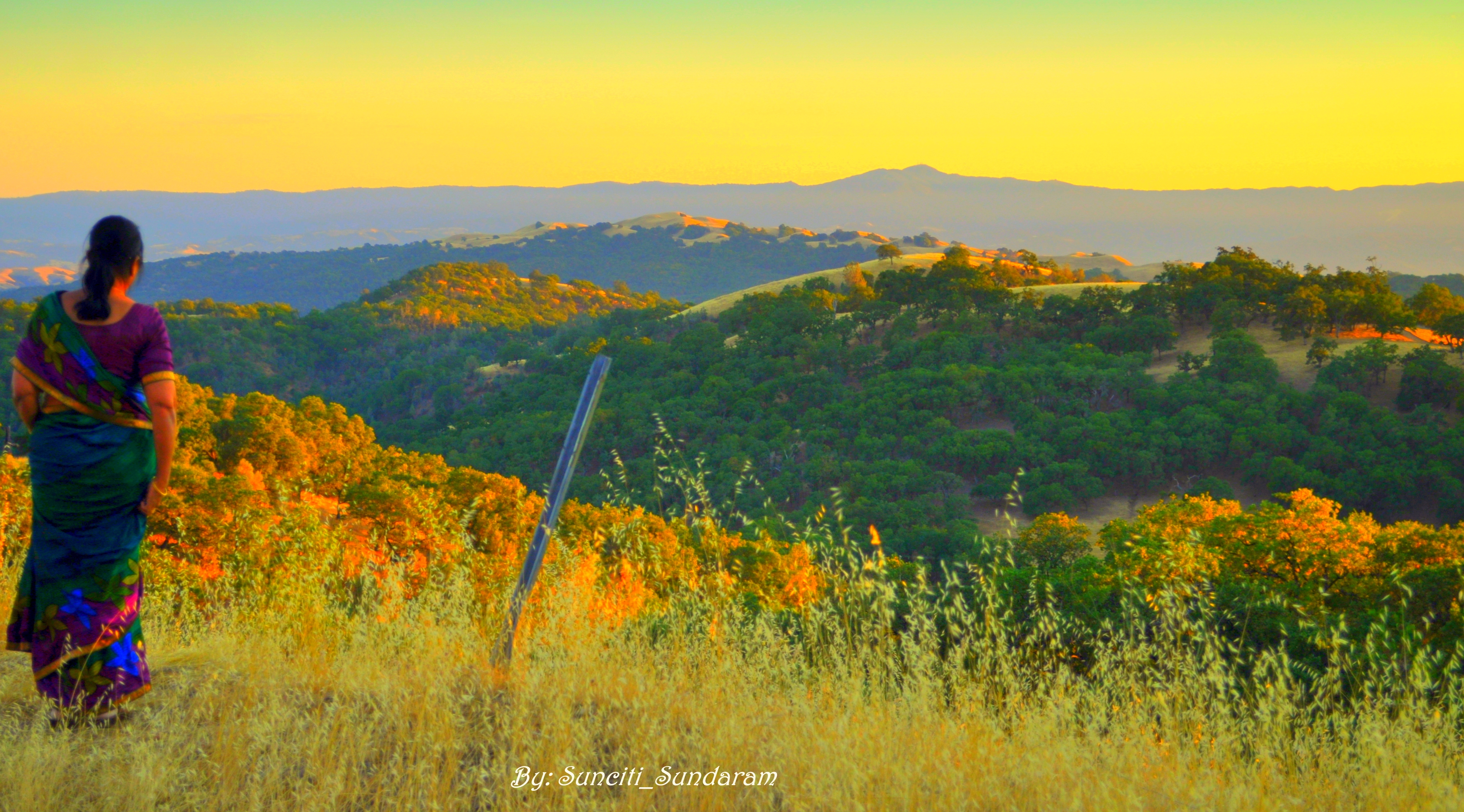
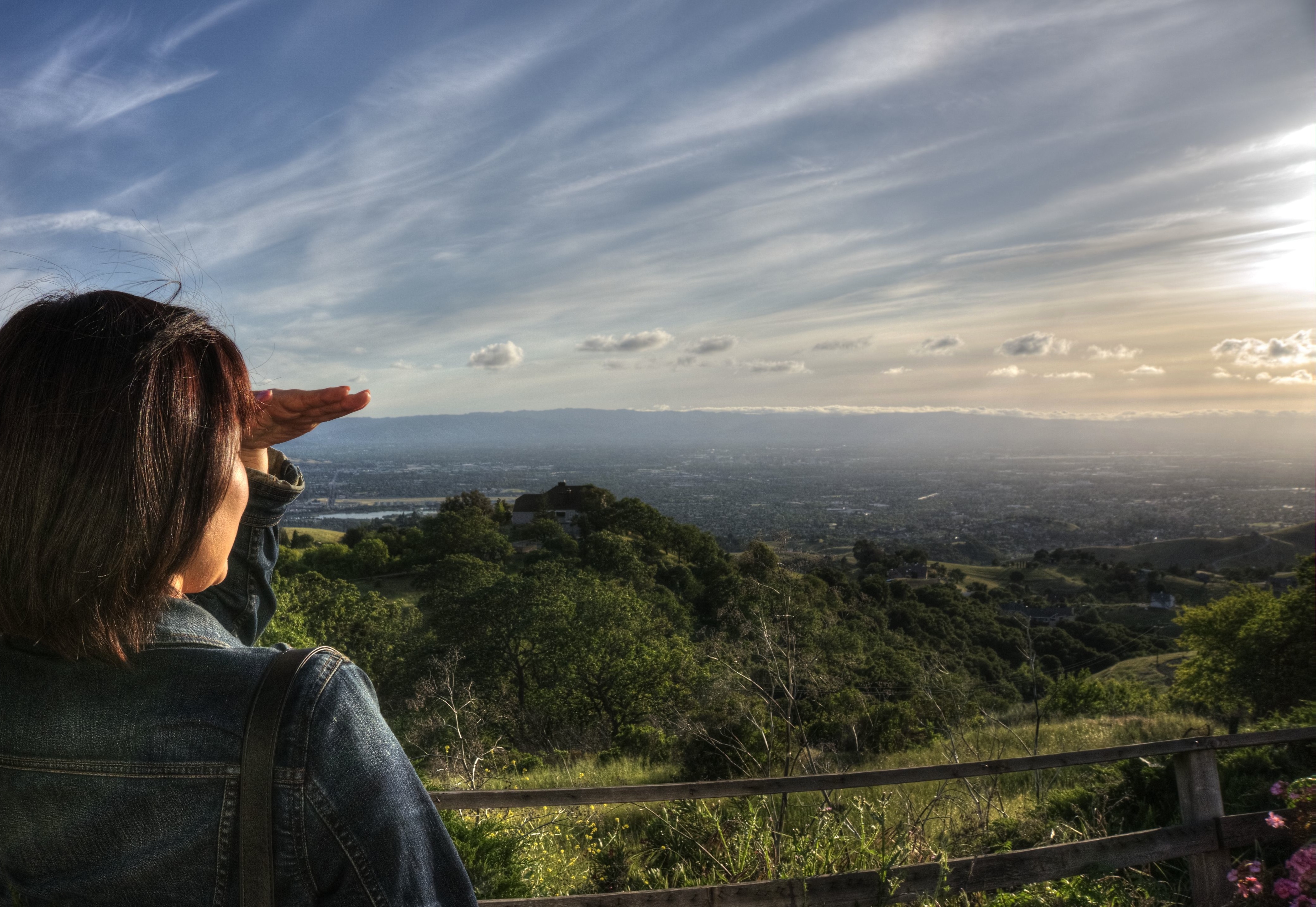
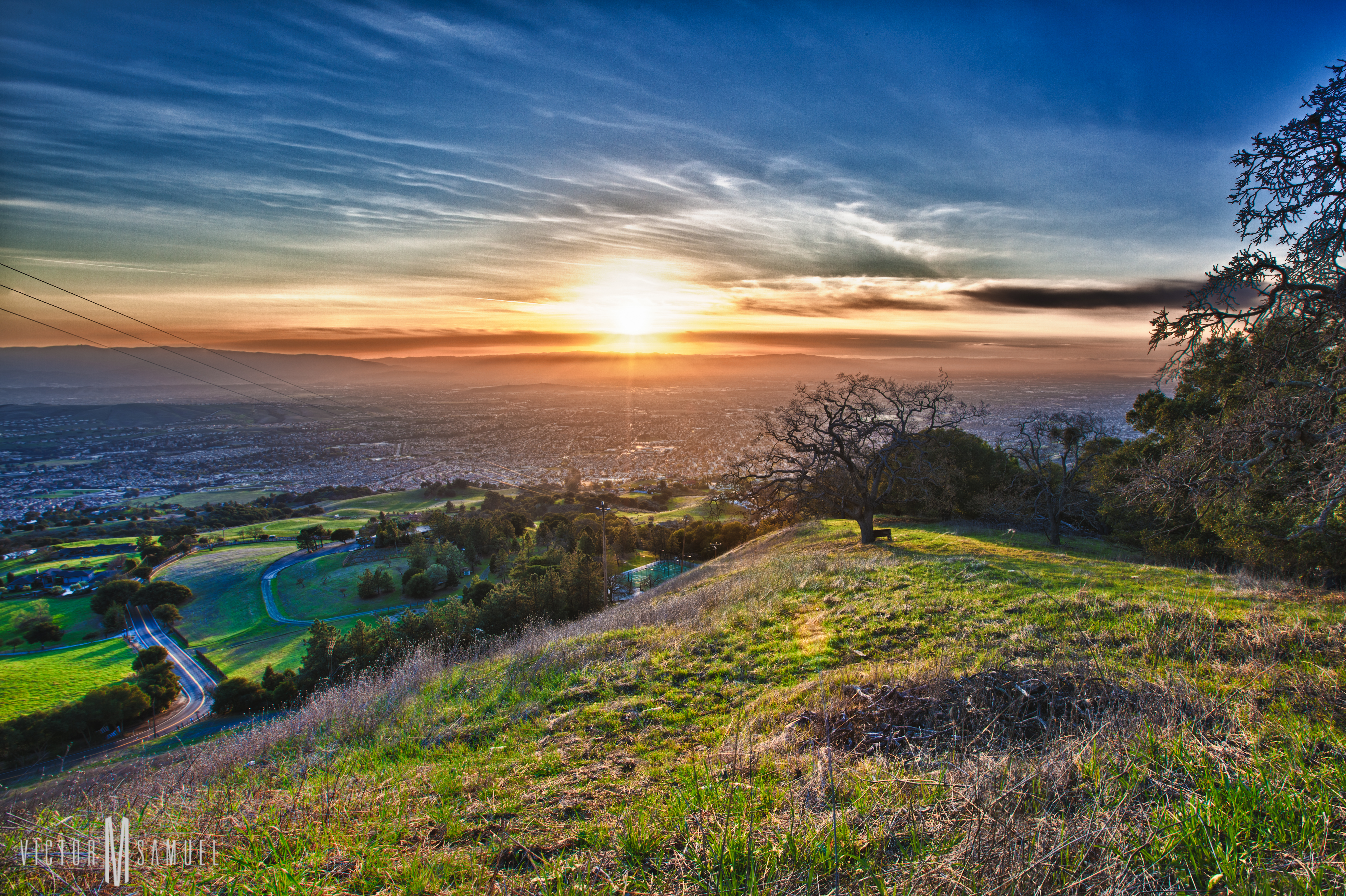
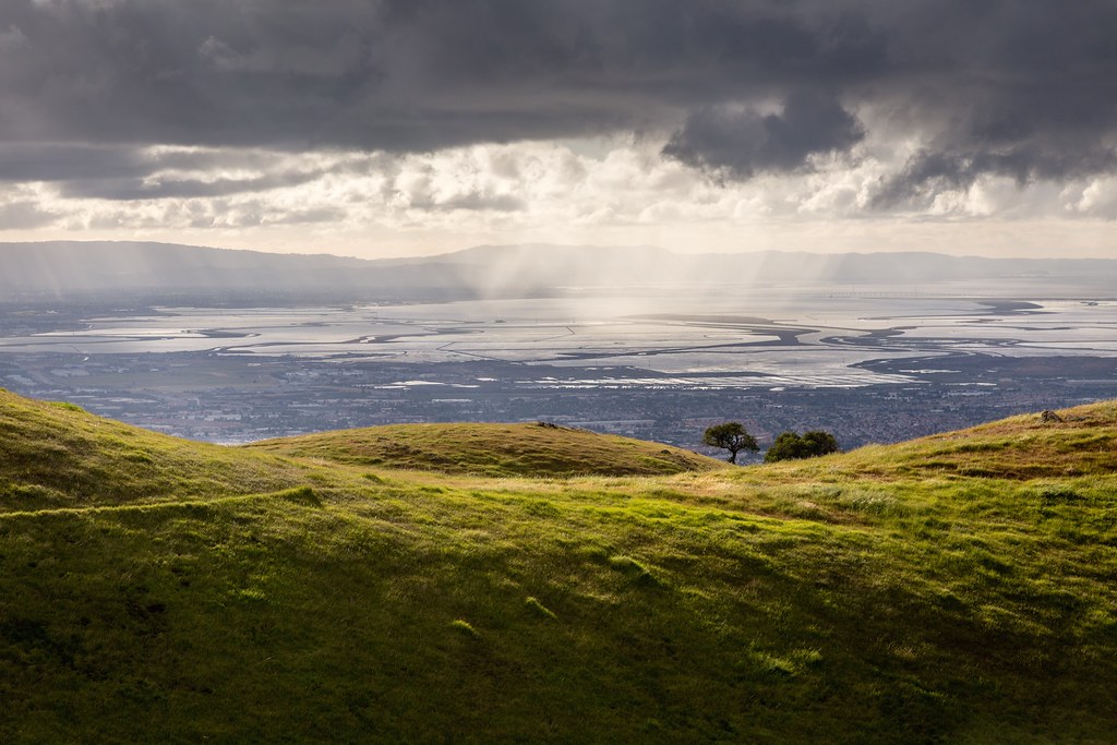
Panoramic View From A Perfect View Point...

Stop. Look. Enjoy.
Is this the world we created...?

What a cute kid :)
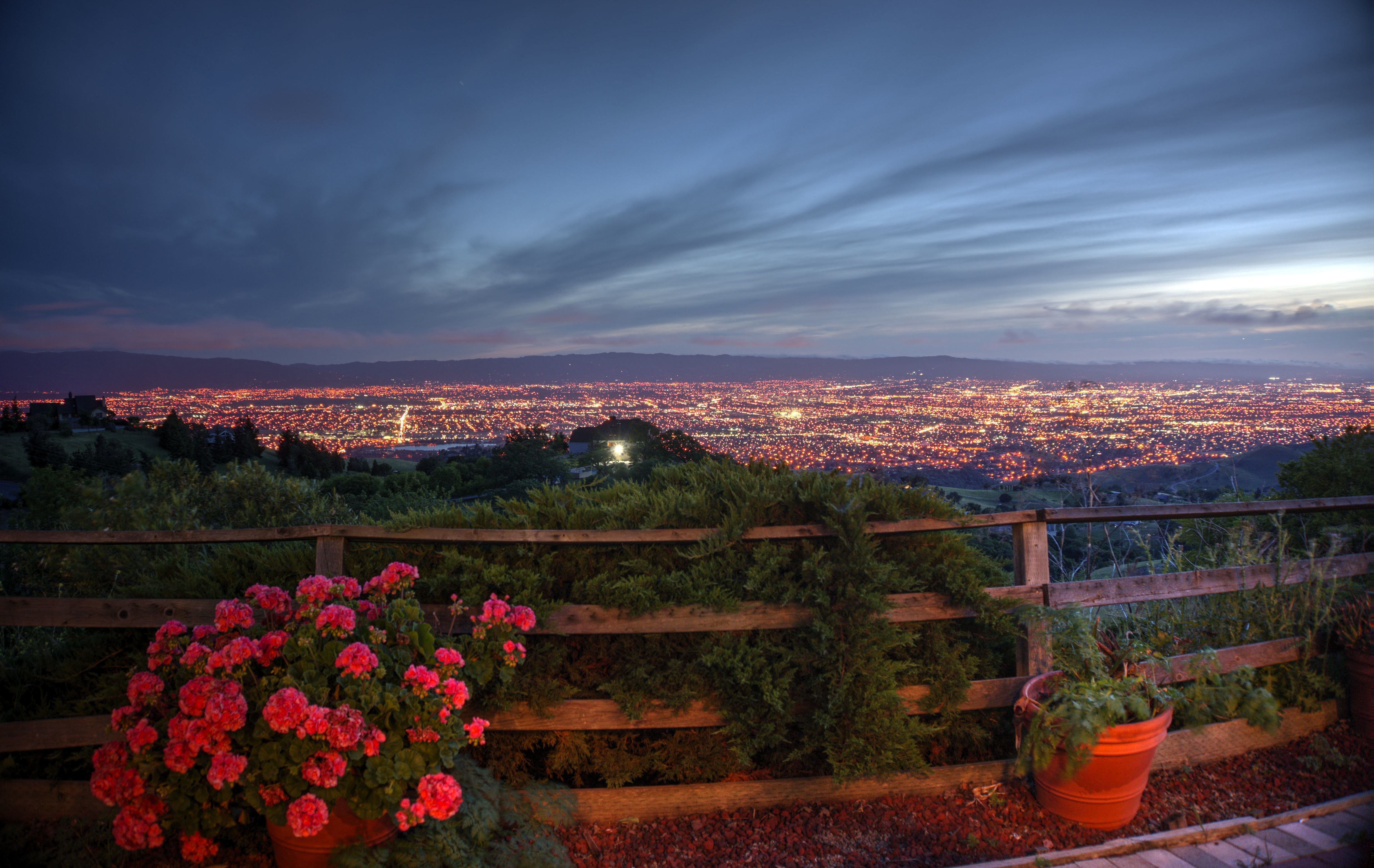
The dark lord lives in a mansion high above a sea of lava
An expresso and a cognac please!
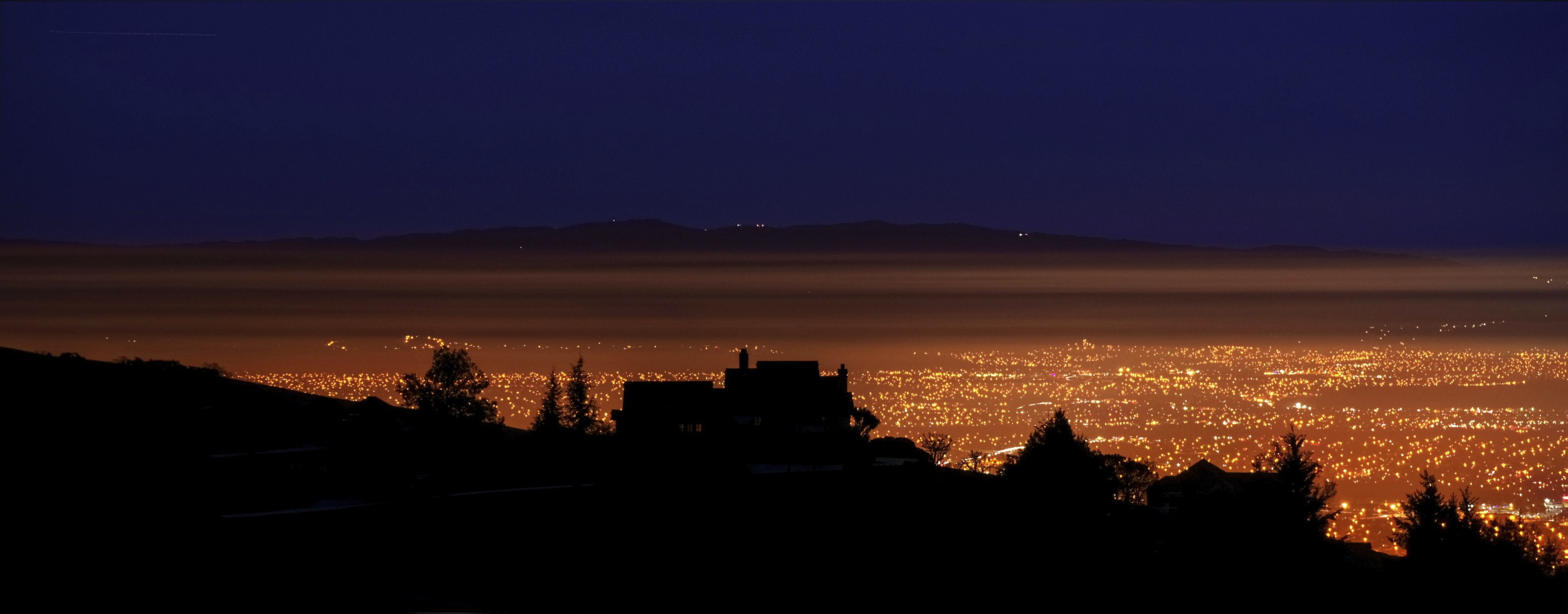
He-Who-Must-Not-Be-Named lives in a mansion high above a sea of lava

Magical Sparkles

mY first HDR
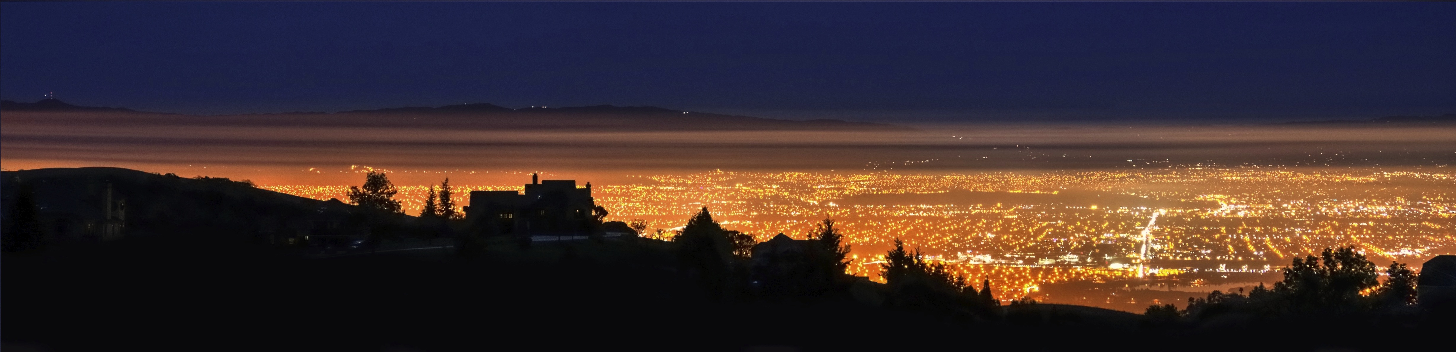
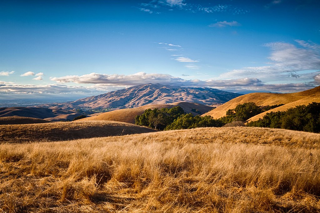
Hiked up Mission Peak! Great view of the East Bay!

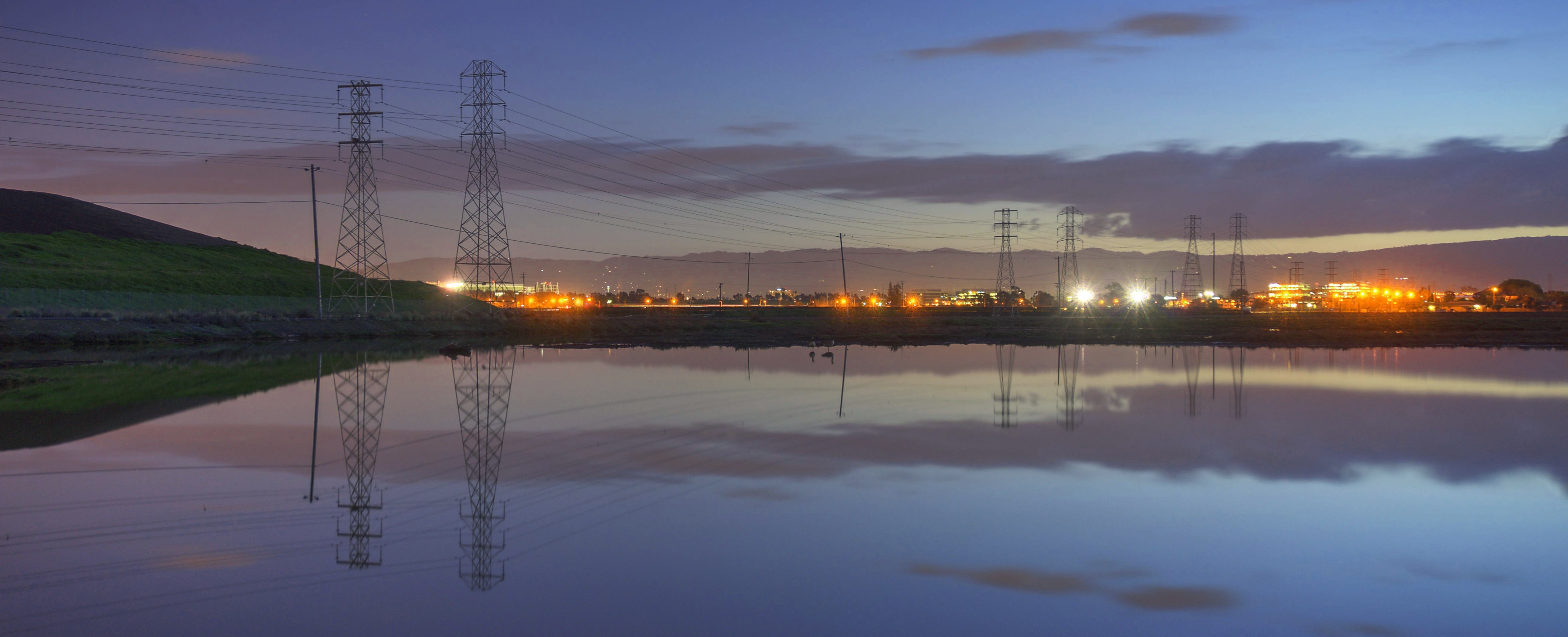
Alviso Blue Hour

Air Force One above downtown Sunnyvale, California
View from Maguire Peaks

Häppy Holidays!
Life is beautiful

DSC02820 Mushroom quilt
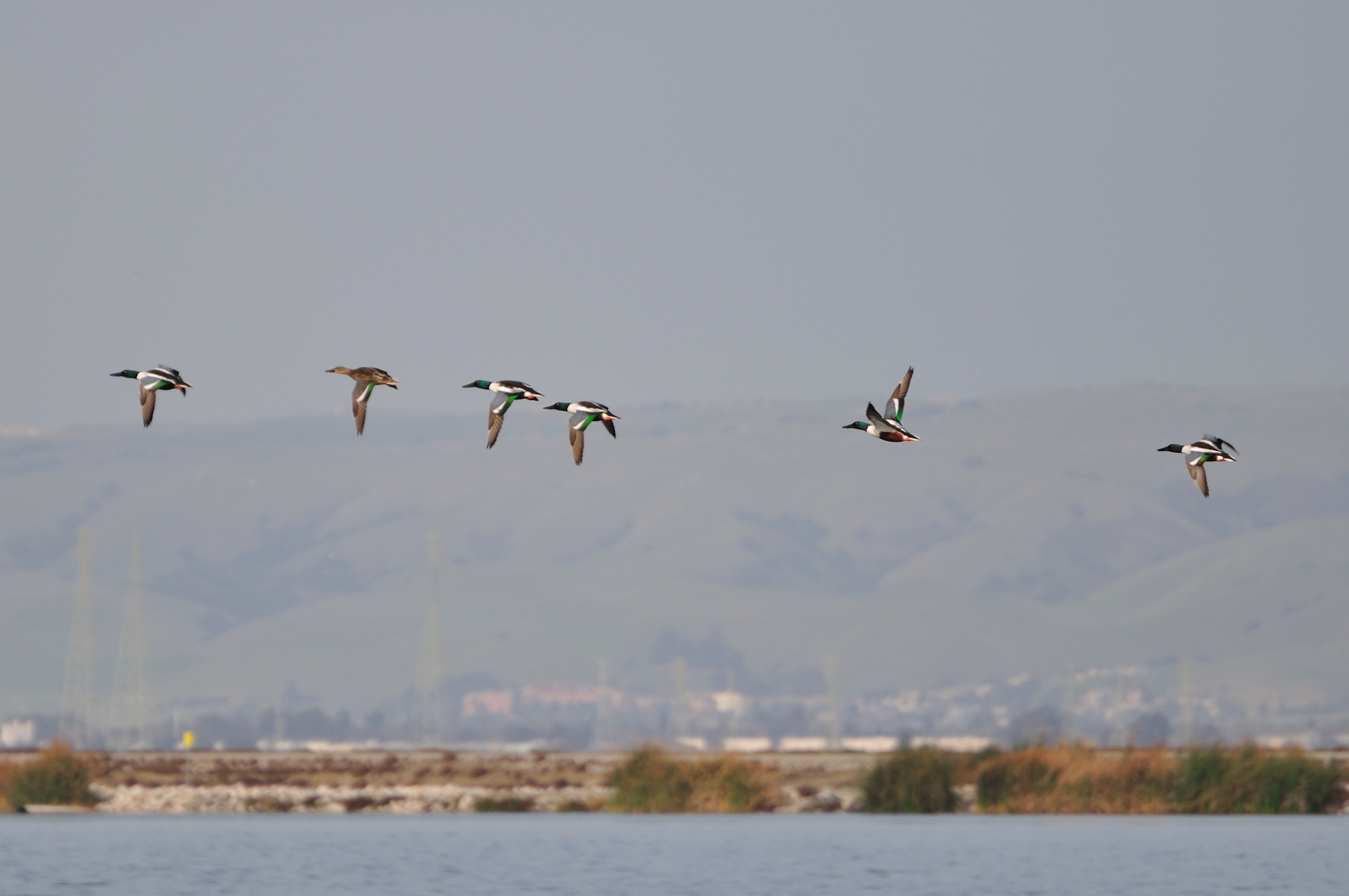
Ducks in flight
picture perfect
Watching the watcher

The last supper

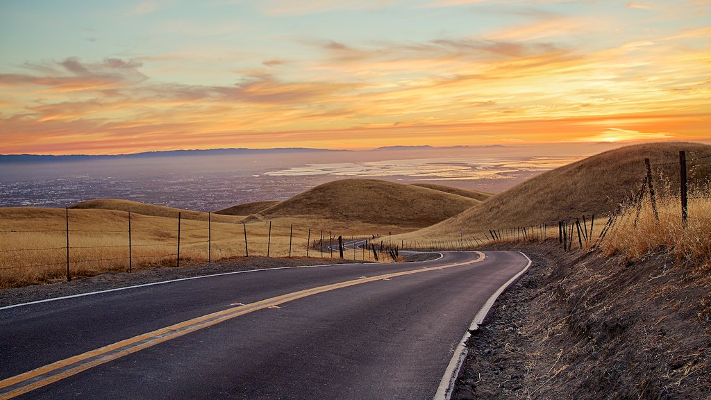
Calaveras Road
San Jose Sunset

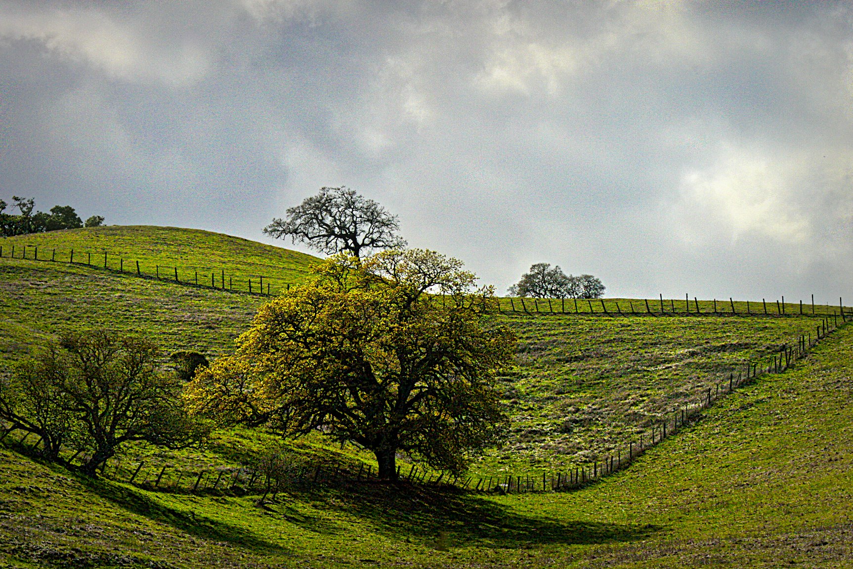
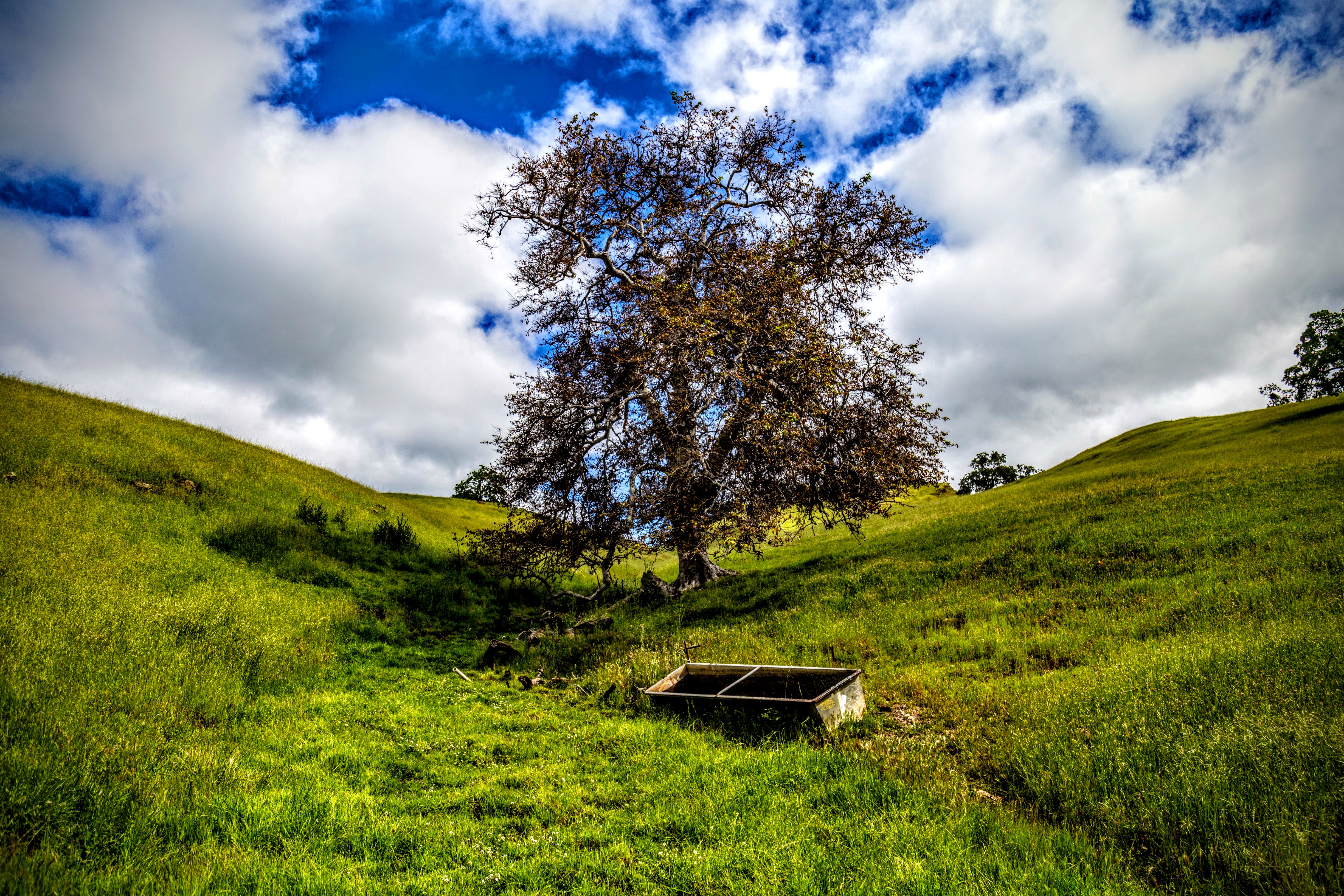
Green Pastors
Sunol Spring Hillside No.01

Good weather! #Fremont #sanfrancisco #Cloud #California #usa #trip #travel

Door of opportunities :)
I'm beginning to wonder why I kept passing up this EB park. What a gem! #EBRPD #SunolRegionalWilderness #Sunol
Clouds Over Mission Peak
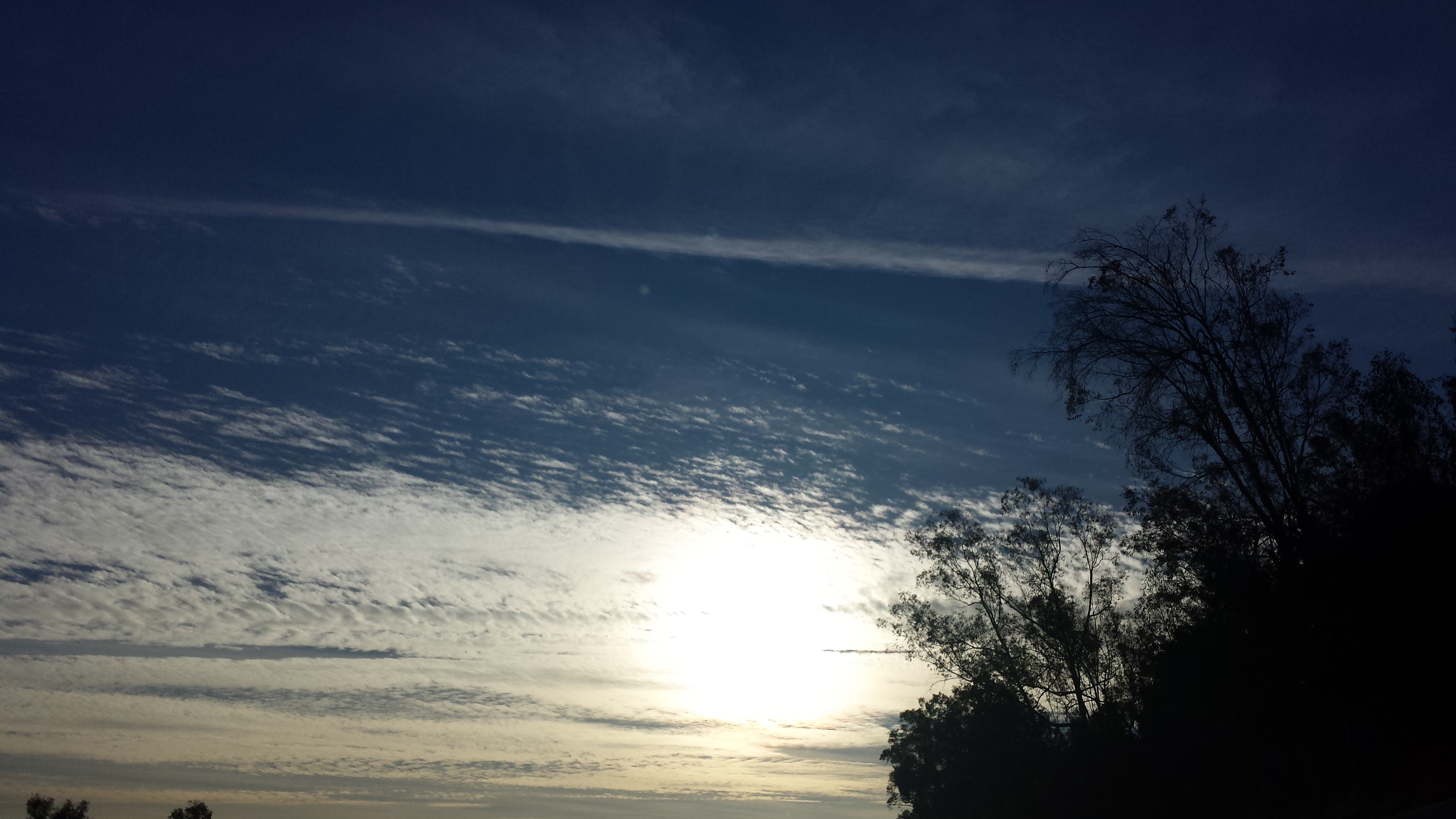
Scattered Showers
Sierra Vista Sunset
Sun after rain
Sunol Rest Stop

Easy way down
SF Bay
~~Alviso Twilight #2~~
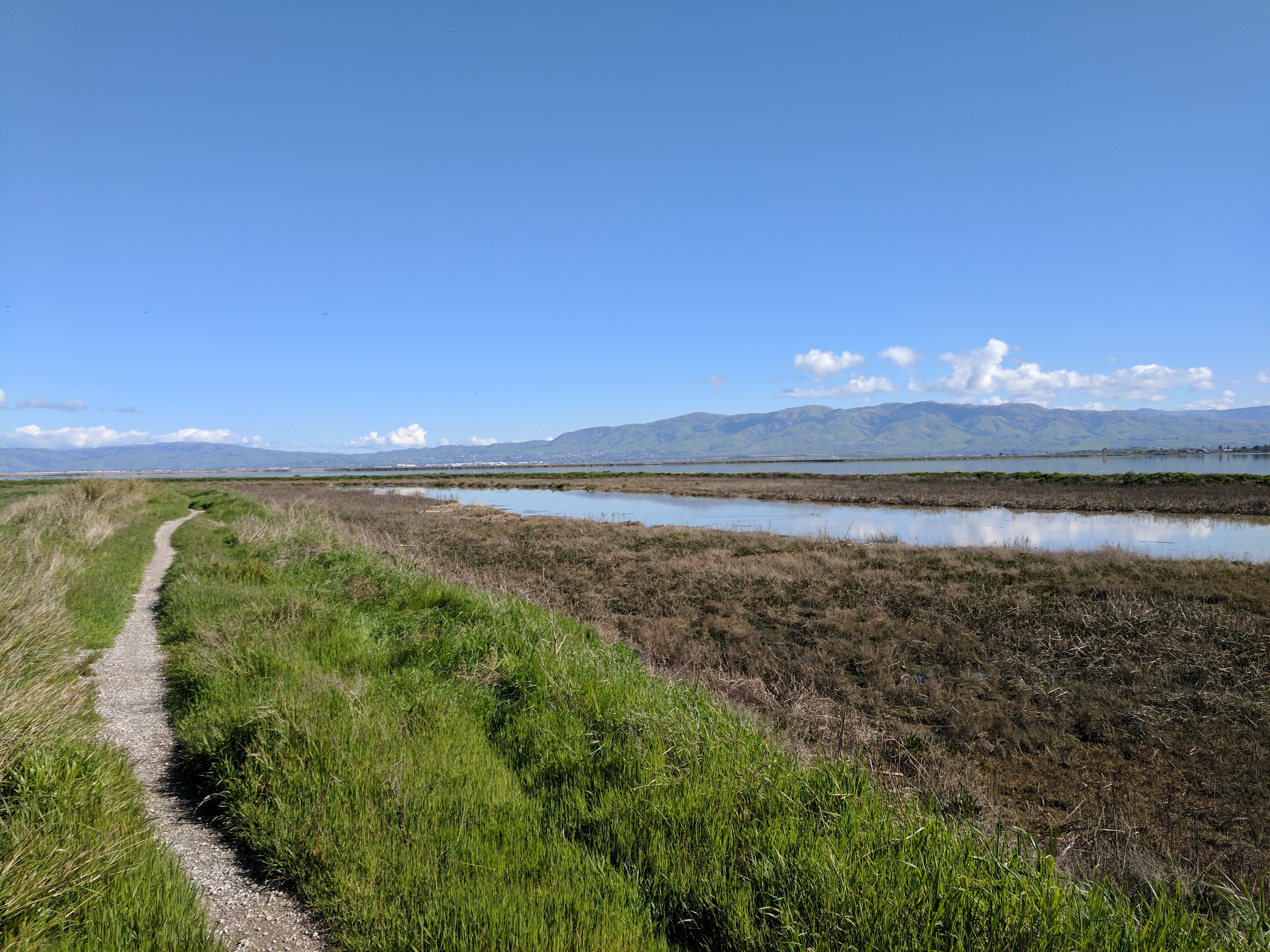
Morning Run by Bay Trail.
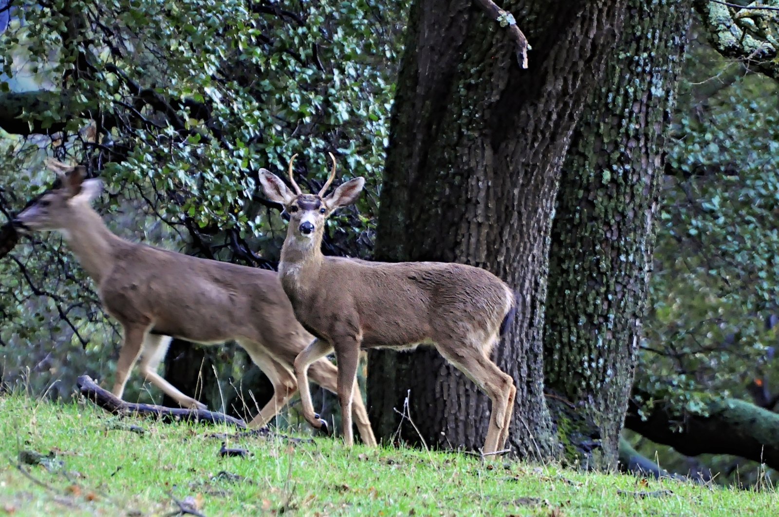
I wish I could see where you're going.
Topographic Map of Mt Rainier Ave, Milpitas, CA, USA
Find elevation by address:

Places near Mt Rainier Ave, Milpitas, CA, USA:
1897 Crater Lake Ave
1433 Big Basin Dr
1577 David Ln
1864 Canton Dr
2211 Paris Way
1335 Canton Dr
Cropley Avenue
Berryessa Creek
831 Montague Expy
775 Montague Expy
1832 Queen Elizabeth Way
2932 Agua Vista Dr
402 Belshaw Dr
1843 Poetry Dr
Milpitas
Great Mall Drive
534 Dundee Ave
Brooktree
1728 Lee Way
1456 S Main St
Recent Searches:
- Elevation of Congressional Dr, Stevensville, MD, USA
- Elevation of Bellview Rd, McLean, VA, USA
- Elevation of Stage Island Rd, Chatham, MA, USA
- Elevation of Shibuya Scramble Crossing, 21 Udagawacho, Shibuya City, Tokyo -, Japan
- Elevation of Jadagoniai, Kaunas District Municipality, Lithuania
- Elevation of Pagonija rock, Kranto 7-oji g. 8"N, Kaunas, Lithuania
- Elevation of Co Rd 87, Jamestown, CO, USA
- Elevation of Tenjo, Cundinamarca, Colombia
- Elevation of Côte-des-Neiges, Montreal, QC H4A 3J6, Canada
- Elevation of Bobcat Dr, Helena, MT, USA