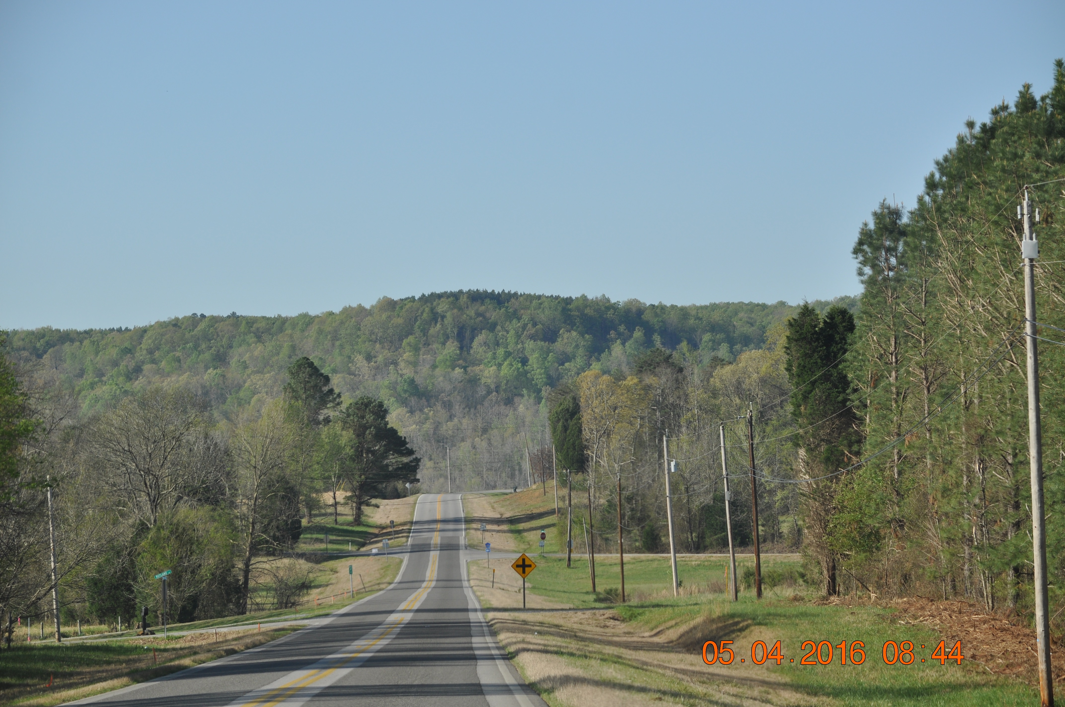
Elevation of Mt Gilead Rd, Fulton, MS, USA
Location: United States > Mississippi > Itawamba County >
Longitude: -88.236621
Latitude: 34.337885
Elevation: 122m / 400feet
Barometric Pressure: 100KPa
Elevation Map:
Satellite Map:
Related Photos:

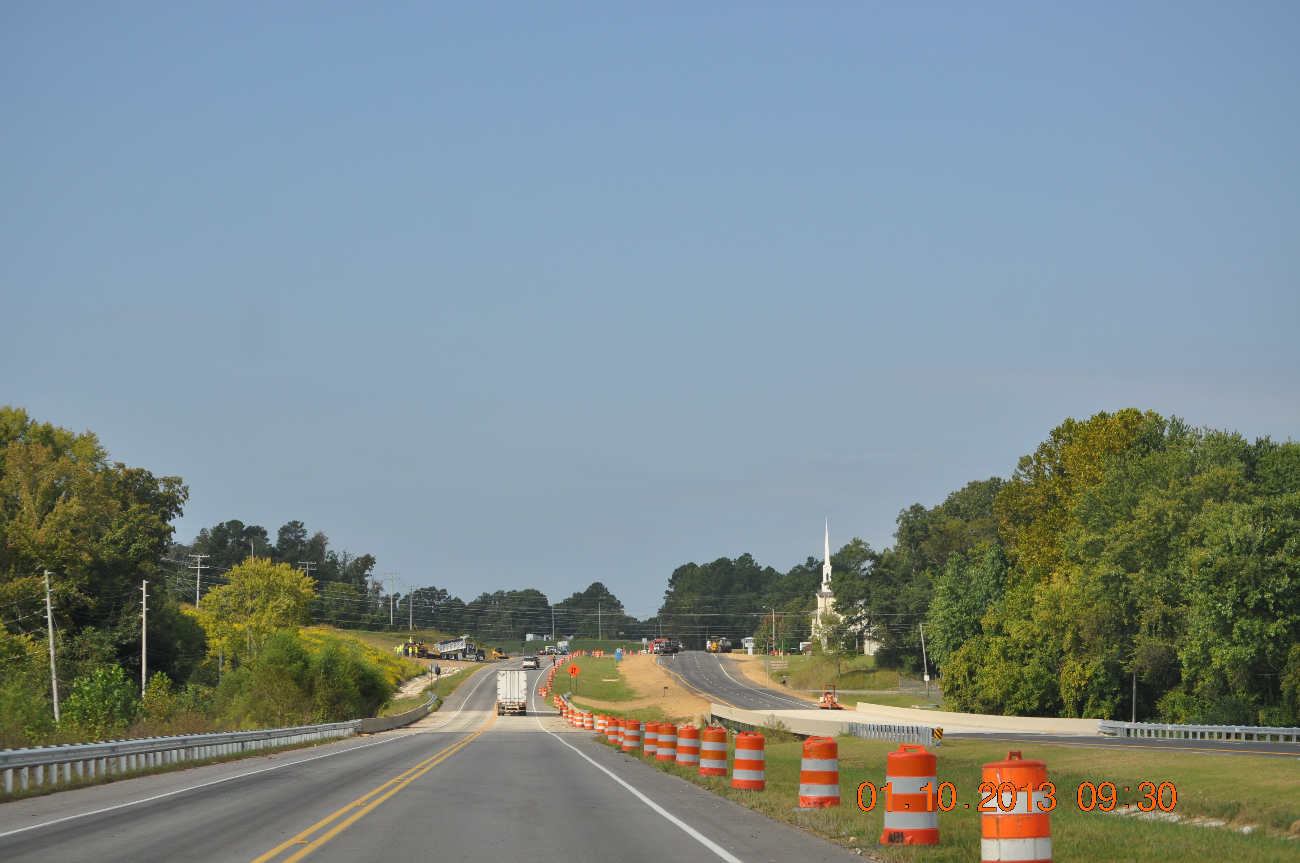
Treasure II #28

Treasure II #15

The Back Forty 002

Thomas' Old Stomping Grounds

Hwy 24 West Franklin Co Al

Hwy 24 West Franklin Co Al

Cooler in the Shade
Hwy 24 West Franklin Co Al

Finding My Way
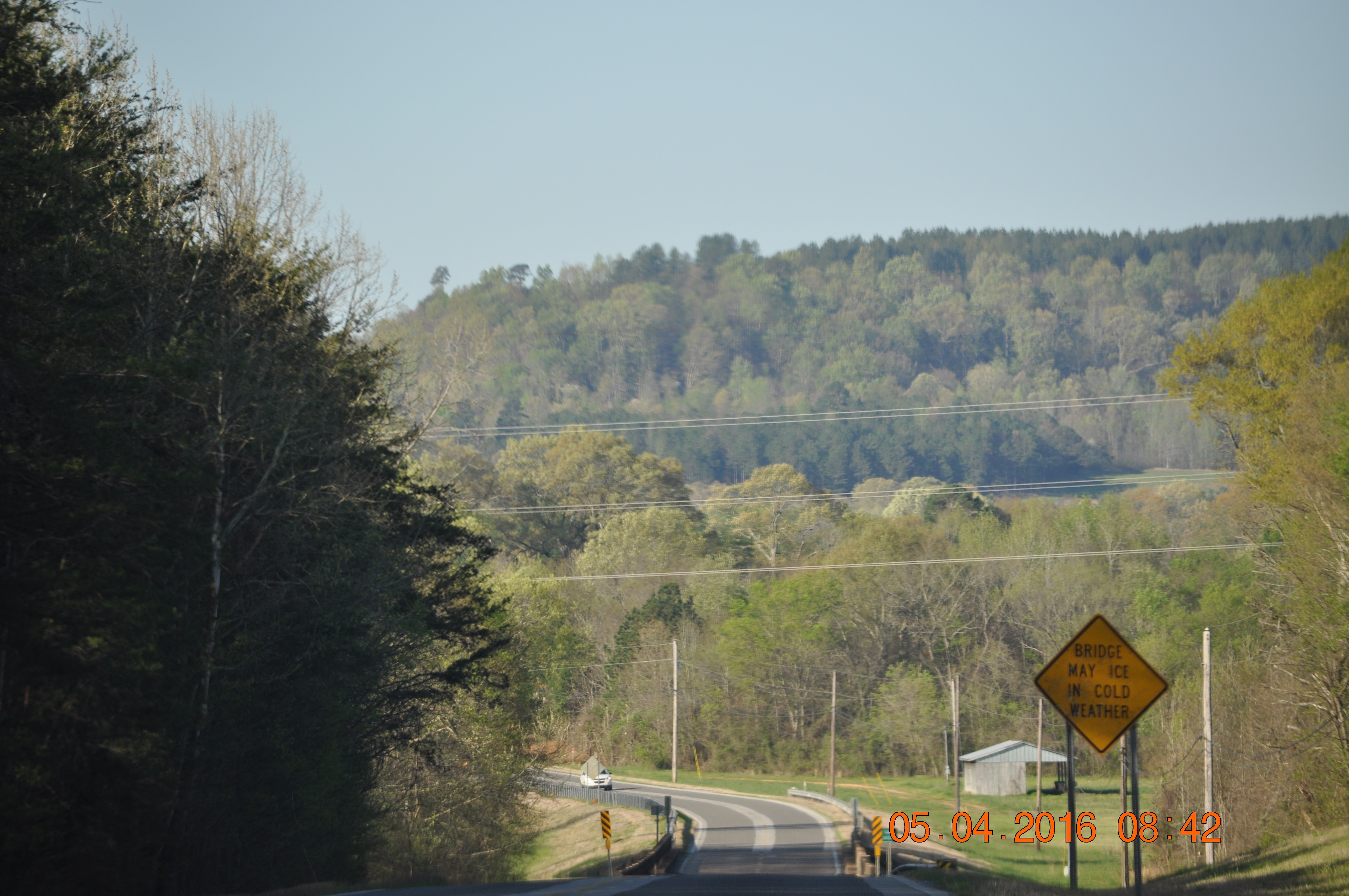
Traveling Home from Red Bay
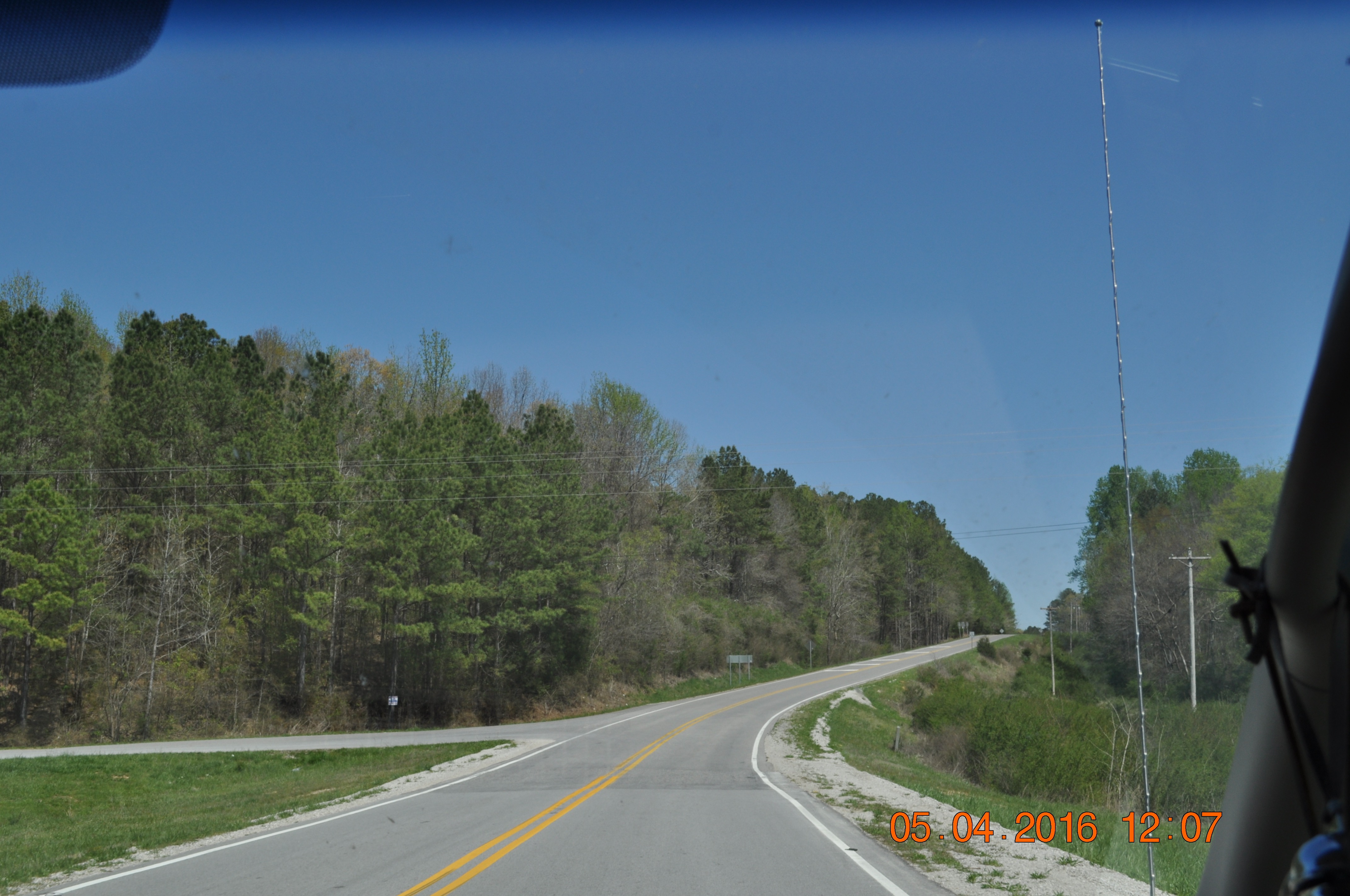
Traveling to Red Bay
Traveling to Red Bay
Traveling to Red Bay
Topographic Map of Mt Gilead Rd, Fulton, MS, USA
Find elevation by address:

Places near Mt Gilead Rd, Fulton, MS, USA:
1815 Cobb Stump Rd
Tremont
MS-, Tremont, MS, USA
611 Gholston Rd
224 Taylor Dr
224 Taylor Dr
224 Taylor Dr
6555 Ms-178
Co Rd 13, Vina, AL, USA
4th Ave S, Red Bay, AL, USA
Red Bay
Hardin Chapel Rd, Fulton, MS, USA
Beaver Lake Rd, Fulton, MS, USA
Lochridge Ln, Hamilton, AL, USA
Country Club Road
Vina
Fulton
Itawamba County
Goggans Road
395 Freedom Hills Rd
Recent Searches:
- Elevation of Royal Ontario Museum, Queens Park, Toronto, ON M5S 2C6, Canada
- Elevation of Groblershoop, South Africa
- Elevation of Power Generation Enterprises | Industrial Diesel Generators, Oak Ave, Canyon Country, CA, USA
- Elevation of Chesaw Rd, Oroville, WA, USA
- Elevation of N, Mt Pleasant, UT, USA
- Elevation of 6 Rue Jules Ferry, Beausoleil, France
- Elevation of Sattva Horizon, 4JC6+G9P, Vinayak Nagar, Kattigenahalli, Bengaluru, Karnataka, India
- Elevation of Great Brook Sports, Gold Star Hwy, Groton, CT, USA
- Elevation of 10 Mountain Laurels Dr, Nashua, NH, USA
- Elevation of 16 Gilboa Ln, Nashua, NH, USA