Elevation of MS-, Tremont, MS, USA
Location: United States > Mississippi > Itawamba County > Tremont >
Longitude: -88.258484
Latitude: 34.2347589
Elevation: 109m / 358feet
Barometric Pressure: 100KPa
Elevation Map:
Satellite Map:
Related Photos:
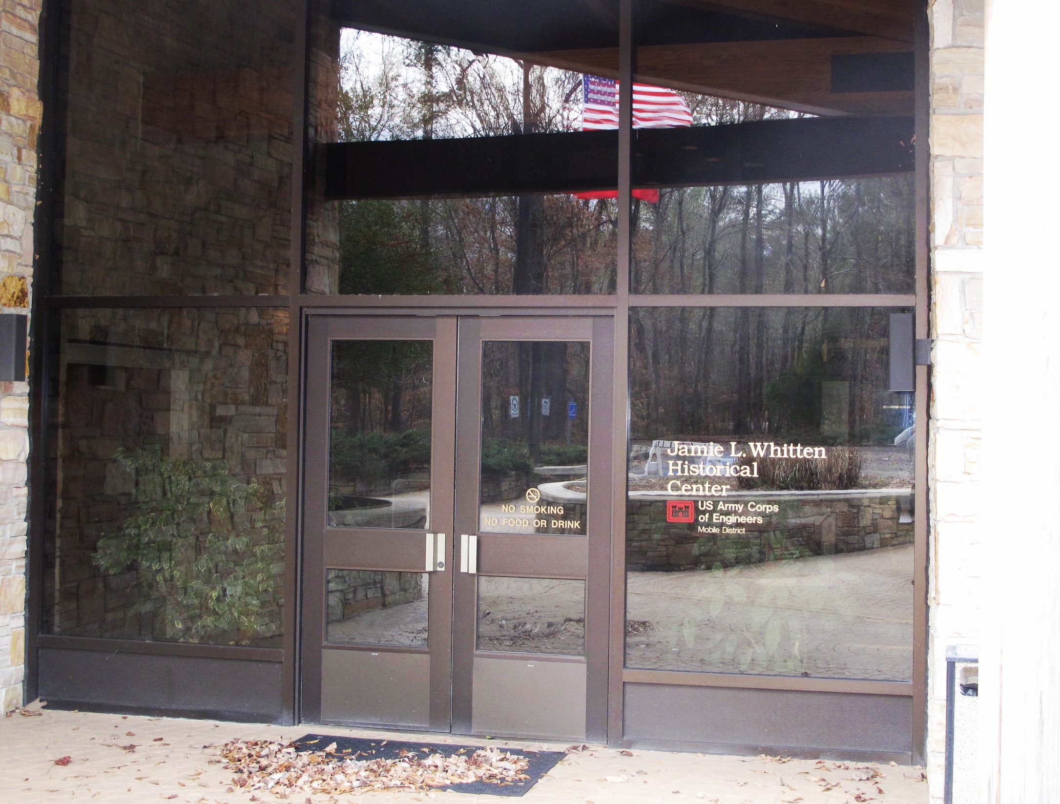
Jamie L. Whitten Historical Center, Itawamba County (Miss.), 20 December 2012
Jamie L. Whitten Historical Center, Itawamba County (Miss.), 20 December 2012

Jamie L. Whitten Historical Center, Itawamba County (Miss.), 20 December 2012
Treasure II #28

Treasure II #15

The Back Forty 002
Cooler in the Shade

Sun River

Finding My Way
Topographic Map of MS-, Tremont, MS, USA
Find elevation by address:

Places near MS-, Tremont, MS, USA:
Tremont
611 Gholston Rd
6555 Ms-178
1815 Cobb Stump Rd
Mt Gilead Rd, Fulton, MS, USA
Lochridge Ln, Hamilton, AL, USA
Hardin Chapel Rd, Fulton, MS, USA
Country Club Road
Co Rd 13, Vina, AL, USA
Itawamba County
Fulton
Goggans Road
224 Taylor Dr
224 Taylor Dr
224 Taylor Dr
MS-, Mantachie, MS, USA
510 Tomlin Rd
Beaver Lake Rd, Fulton, MS, USA
Red Bay
4th Ave S, Red Bay, AL, USA
Recent Searches:
- Elevation of Crocker Dr, Vacaville, CA, USA
- Elevation of Pu Ngaol Community Meeting Hall, HWHM+3X7, Krong Saen Monourom, Cambodia
- Elevation of Royal Ontario Museum, Queens Park, Toronto, ON M5S 2C6, Canada
- Elevation of Groblershoop, South Africa
- Elevation of Power Generation Enterprises | Industrial Diesel Generators, Oak Ave, Canyon Country, CA, USA
- Elevation of Chesaw Rd, Oroville, WA, USA
- Elevation of N, Mt Pleasant, UT, USA
- Elevation of 6 Rue Jules Ferry, Beausoleil, France
- Elevation of Sattva Horizon, 4JC6+G9P, Vinayak Nagar, Kattigenahalli, Bengaluru, Karnataka, India
- Elevation of Great Brook Sports, Gold Star Hwy, Groton, CT, USA