Elevation of Mountain Rd, Luttrell, TN, USA
Location: United States > Tennessee > Knox County >

Longitude: -83.731639

Latitude: 36.1591728

Elevation: 338m / 1109feet

Barometric Pressure: 97KPa

Elevation Map:

elevation map of Mountain Rd, Luttrell, TN, USA

Satellite Map:

Satellite map of Mountain Rd, Luttrell, TN, USA

Related Photos:

canon mix tn knoxville tennessee whippet germanshepherd t3i americanbulldog 600d
Trouble Down Below
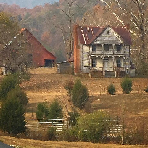
instagramapp square squareformat iphoneography uploaded:by=instagram
Once was a home near Blaine, TN
morning sunrise canon tn knoxville tennessee t3i 600d
Morning View from Cabin
jlrphotography nikond7200 nikon d7200 photography photo maynardvilletn easttennessee unioncounty tennessee 2016 engineerswithcameras unioncountytncourthouse photographyforgod thesouth southernphotography screamofthephotographer ibeauty jlramsaurphotography photograph pic maynardville tennesseephotographer maynardvilletennessee courtsquare courthouse historicbuilding history historic historyisallaroundus americanrelics beautifuldecay fadingamerica it’saretroworldafterall oldandbeautiful vanishingamerica uscountycourthouses tennesseecountycourthouses engineeringasart ofandbyengineers engineeringisart engineering architecture americanflag usflag redwhiteblue starsandstripes oldglory patriotic patrioticproud rural ruralamerica ruraltennessee ruralview oldbuildings structuresofthesouth smalltownamerica americana bluesky deepbluesky beautifulsky whiteclouds clouds sky skyabove allskyandclouds
Union County, TN Courthouse - Maynardville, TN
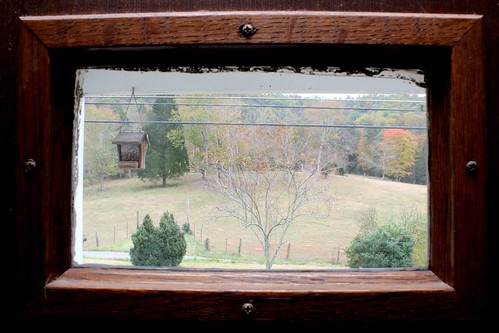
View from the Vestibule
fall canon tn knoxville tennessee t3i 600d
Window on Front Door
W. Graham Claytor's Marker Light
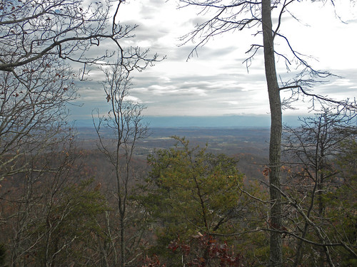
knoxville tennessee hike housemountain heartsoul
The View from the Western Overlook
tn tennessee unioncounty maynardville
Union County Courthouse - Rear View
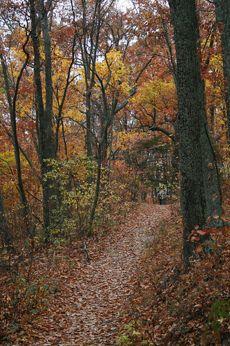
autumn hiking tennessee housemountain knoxcounty housemountainstatenaturalarea
Top Trail
88doublet elecraftkx2 hardrock50 housemountain ki4svm sota summitsontheair w4trv035 corryton tennessee unitedstatesofamerica
W4T/RV-035 - House Mtn View
knoxville tennessee hike housemountain heartsoul
View from the Eastern Overlook
spring hiking tennessee highestpoint knoxcounty housemountainstatenaturalarea
View NE
knoxville tennessee hike housemountain heartsoul
The View from the Western Overlook
88doublet elecraftkx2 hardrock50 housemountain ki4svm sota summitsontheair w4trv035 corryton tennessee unitedstatesofamerica
W4T/RV-035 - House Mtn View
knoxville tennessee hike housemountain heartsoul
The View from the Western Overlook
knoxville tennessee hike housemountain heartsoul
The View to the North
knoxville tennessee hike housemountain heartsoul
The View from the Western Overlook
autumn fall hiking tennessee housemountain knoxcounty thehappybottomhikingclub
View Towards Chilhowee Mountain
tn knoxville drivein fiftyyears cardinsdrivein
Front View 4 - Cardin's Drive-In
tn knoxville drivein fiftyyears cardinsdrivein
Front View 3 - Cardin's Drive-In
autumn mountain fall tennessee silo clinchmountain
Signal Point
2016-02-02 10.25.19
train norfolk southern strawberry plains tennessee
35Q crosses the Holston River
2016-02-02 10.13.27
2015-10-14 17.30.57
2015-10-14 17.31.15
nature mobile outdoors tennessee iphone 645pro iphoneography iphoneonly
House Mountain - October 2014-6
autumn canon hiking tennessee 30d housemountain knoxcounty housemountainstatenaturalarea
Autumn Landscape
2015-10-14 17.30.27
2016-02-02 10.04.58
2016-02-02 10.08.10
Richland Creek - stone mill
2016-02-02 10.07.17
knoxville tennessee hike housemountain heartsoul
Color Below the Northern Overlook
2016-02-02 10.06.22
Tennesse Mountains
nature mobile outdoors tennessee iphone 645pro iphoneography iphoneonly
House Mountain - October 2014-7
2016-02-02 09.41.27
autumn fall hiking tennessee housemountain knoxcounty thehappybottomhikingclub
East Overlook
nature mobile outdoors tennessee iphone 645pro iphoneography iphoneonly
House Mountain - October 2014-10