Elevation of Blaine, TN, USA
Location: United States > Tennessee > Grainger County >
Longitude: -83.704070
Latitude: 36.1542508
Elevation: 292m / 958feet
Barometric Pressure: 98KPa
Elevation Map:
Satellite Map:
Related Photos:

Once was a home near Blaine, TN

Union County, TN Courthouse - Maynardville, TN

View from the Vestibule

Mill Springs Store

W. Graham Claytor's Marker Light

The View from the Western Overlook

Top Trail

W4T/RV-035 - House Mtn View

View from the Eastern Overlook

View NE

The View from the Western Overlook

W4T/RV-035 - House Mtn View

The View from the Western Overlook

The View to the North

The View from the Western Overlook

View Towards Chilhowee Mountain

Union County Courthouse - Rear View

Front View 4 - Cardin's Drive-In

Front View 3 - Cardin's Drive-In

Front View 2 - Cardin's Drive-In

Side View

Signal Point
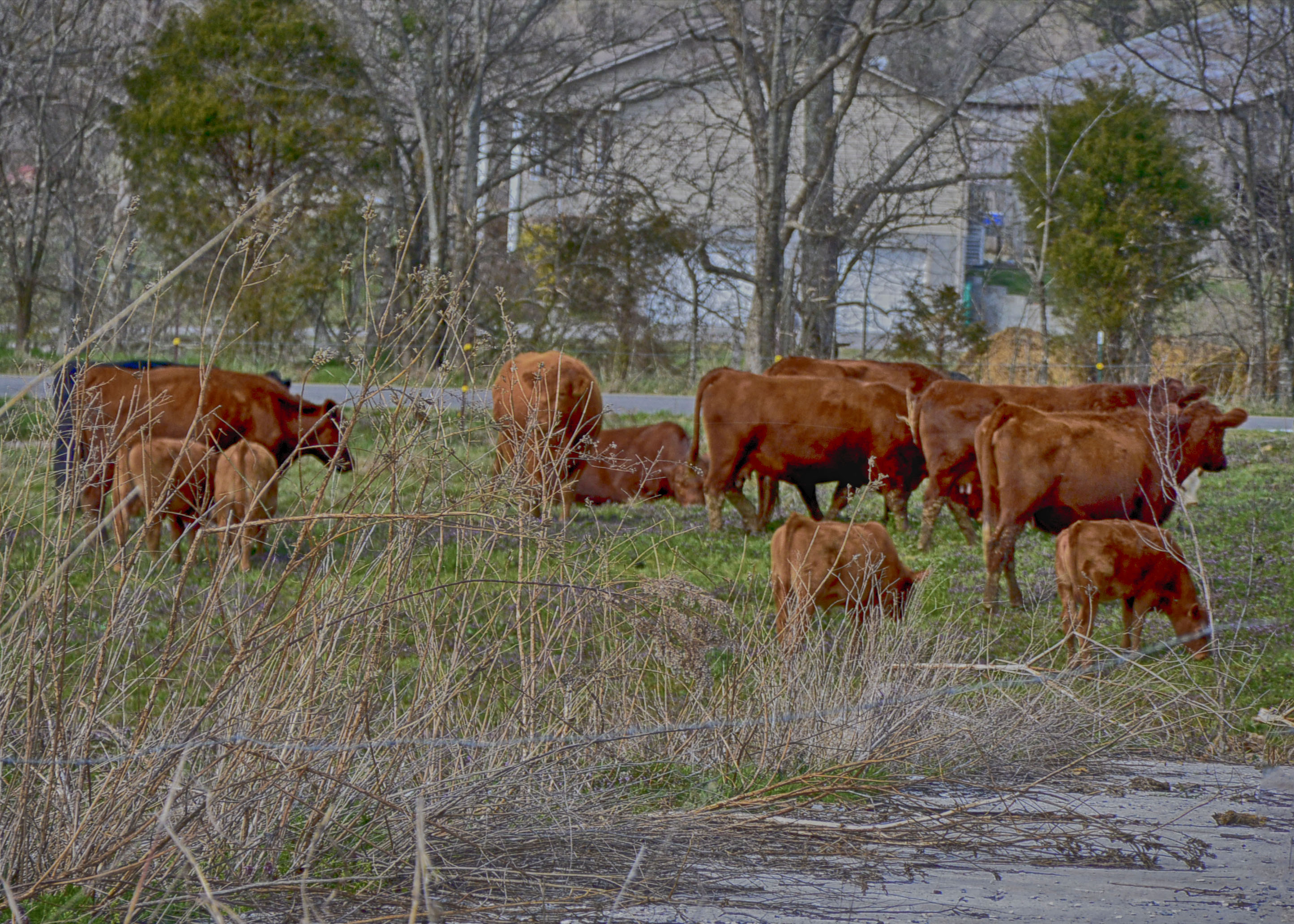
Rockey Valley Rd Cattle 098

Buffalo Creek Cascade

2016-02-02 10.25.19

35Q crosses the Holston River

2016-02-02 10.13.27

2015-10-14 17.30.57

2015-10-14 17.31.15

House Mountain - October 2014-6

Autumn Landscape
2015-10-14 17.30.27

2016-02-02 10.04.58

2016-02-02 10.08.10

Richland Creek - stone mill

2016-02-02 10.07.17

Color Below the Northern Overlook

2016-02-02 10.06.22

Tennesse Mountains

House Mountain - October 2014-7

2016-02-02 09.41.27
Topographic Map of Blaine, TN, USA
Find elevation by address:

Places near Blaine, TN, USA:
558 Jones Landing Way
1528 Little Valley Rd
Zachary Rd, Corryton, TN, USA
10707 Mountain Rd
House Mountain State Natural Area
Corryton
Holston River
9400 Hogskin Rd
Rutledge Pike, Corryton, TN, USA
Strawberry Plains
Plainview
Tazewell Pike, Corryton, TN, USA
Clift Rd, Strawberry Plains, TN, USA
Saylors Ford Rd, Mascot, TN, USA
3708 Roberts Rd
915 Randles Rd
Randles Road
634 Running Brook Drive
7839 Christopher Ln
Clapps Chapel Rd, Corryton, TN, USA
Recent Searches:
- Elevation of Congressional Dr, Stevensville, MD, USA
- Elevation of Bellview Rd, McLean, VA, USA
- Elevation of Stage Island Rd, Chatham, MA, USA
- Elevation of Shibuya Scramble Crossing, 21 Udagawacho, Shibuya City, Tokyo -, Japan
- Elevation of Jadagoniai, Kaunas District Municipality, Lithuania
- Elevation of Pagonija rock, Kranto 7-oji g. 8"N, Kaunas, Lithuania
- Elevation of Co Rd 87, Jamestown, CO, USA
- Elevation of Tenjo, Cundinamarca, Colombia
- Elevation of Côte-des-Neiges, Montreal, QC H4A 3J6, Canada
- Elevation of Bobcat Dr, Helena, MT, USA