Elevation of Mount Vernon, Mt Vernon, KY, USA
Location: United States > Kentucky > Rockcastle County >
Longitude: -84.340491
Latitude: 37.3528615
Elevation: 364m / 1194feet
Barometric Pressure: 97KPa
Elevation Map:
Satellite Map:
Related Photos:
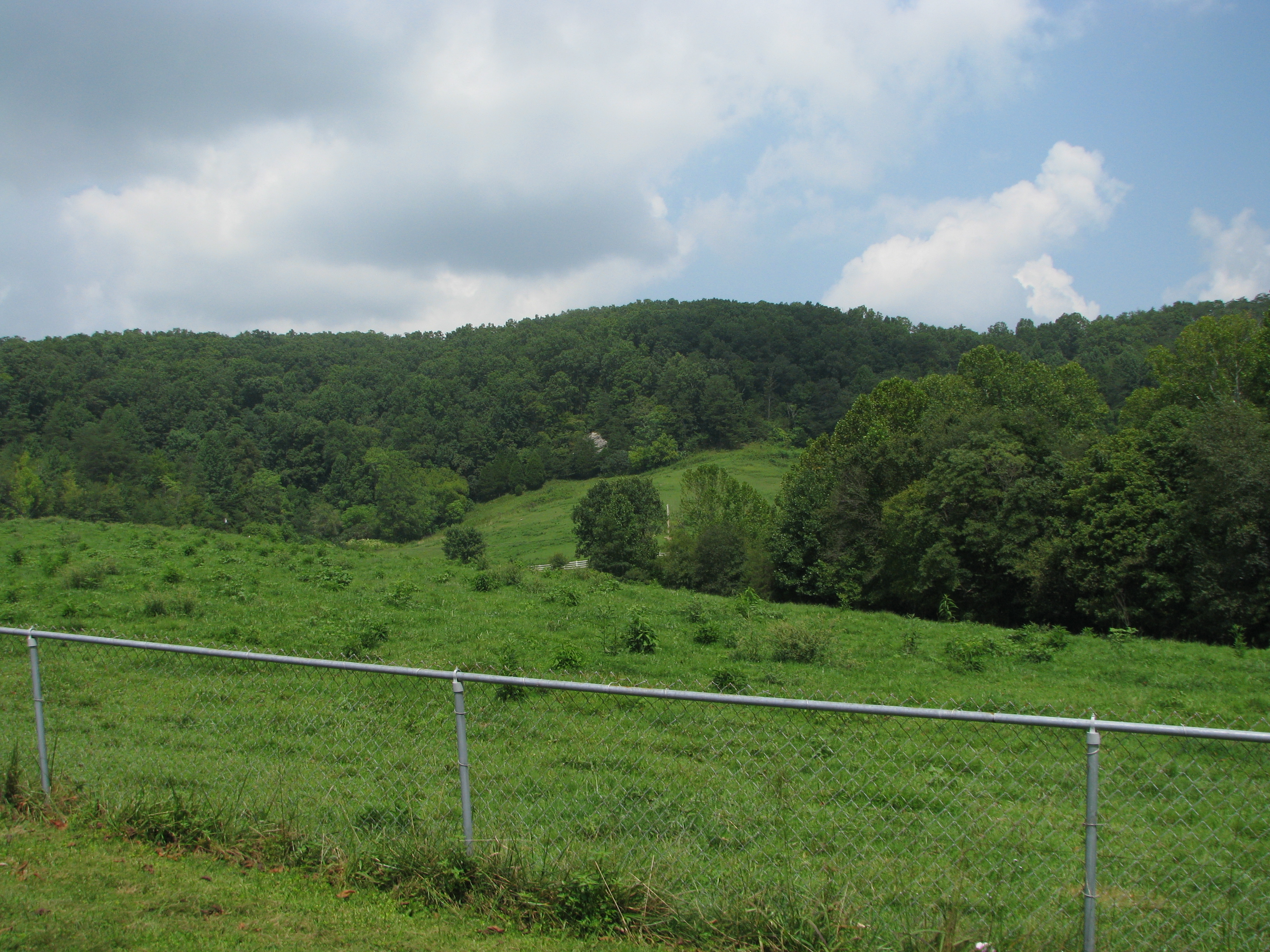
The Rock

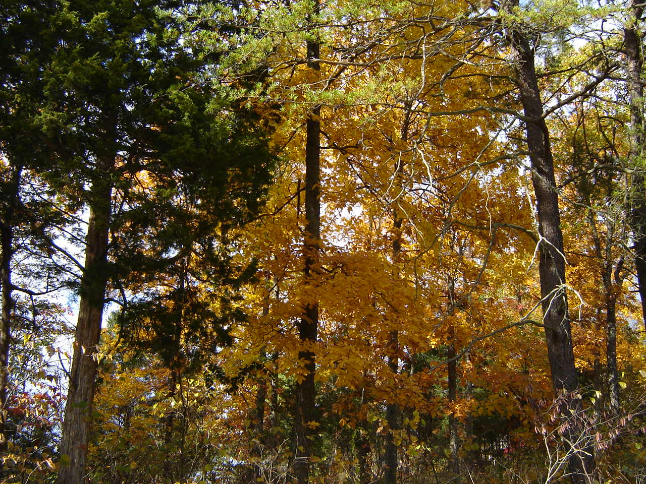
Fall Colors in the Fields of Rockcastle County
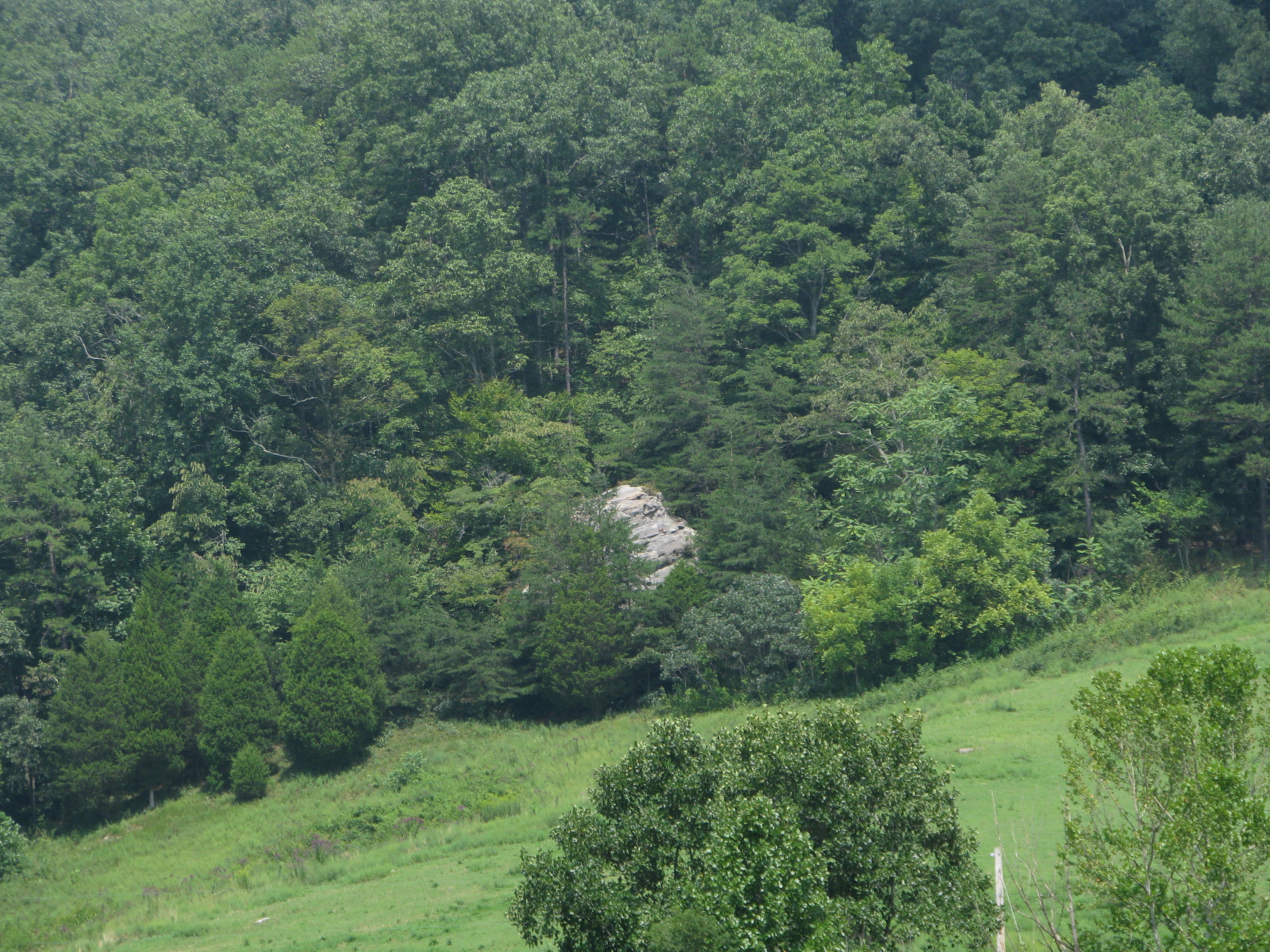
The Rock

Lake Linville at dusk

Picture 084
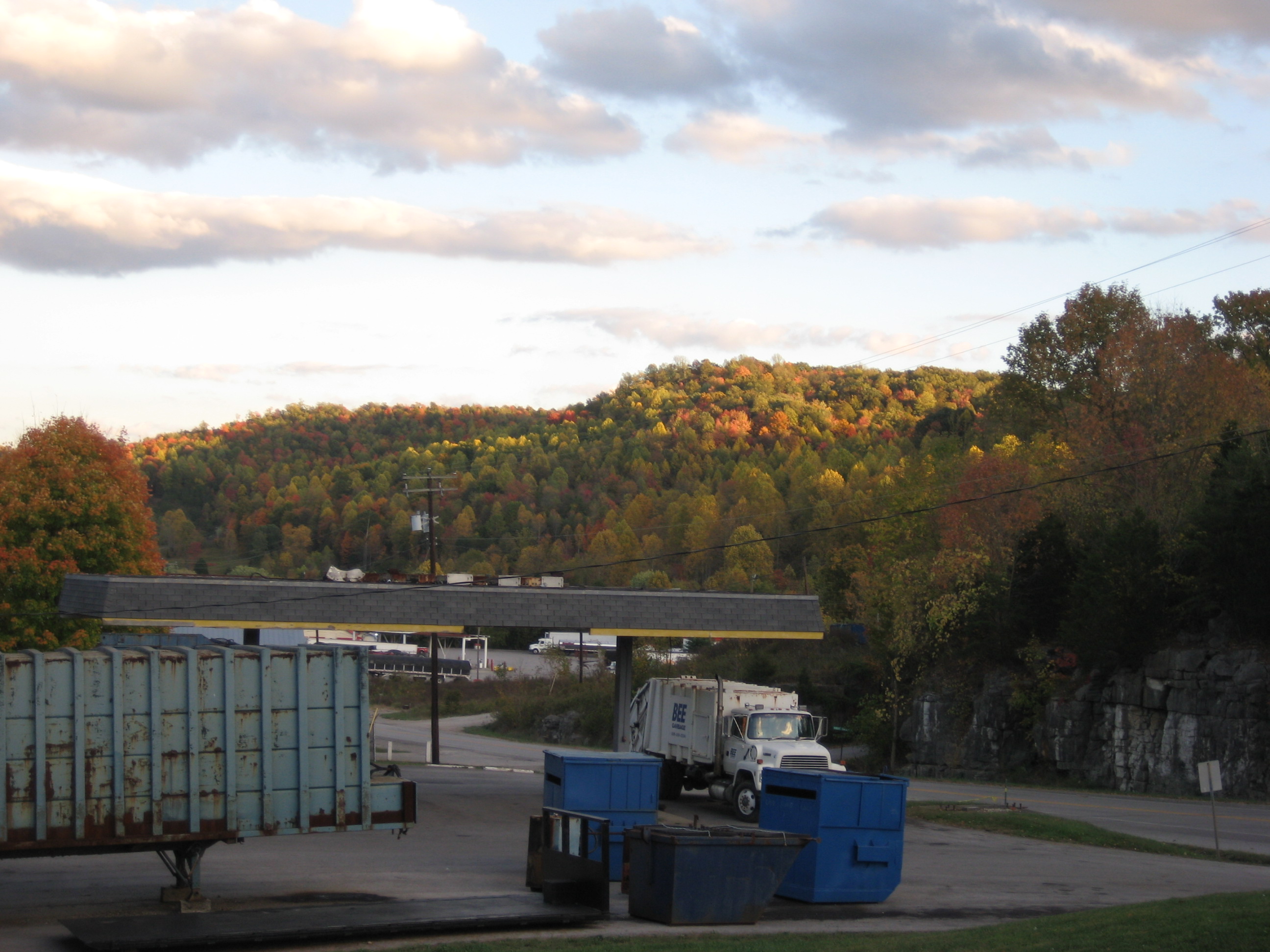
Autumn in KY is beautiful!
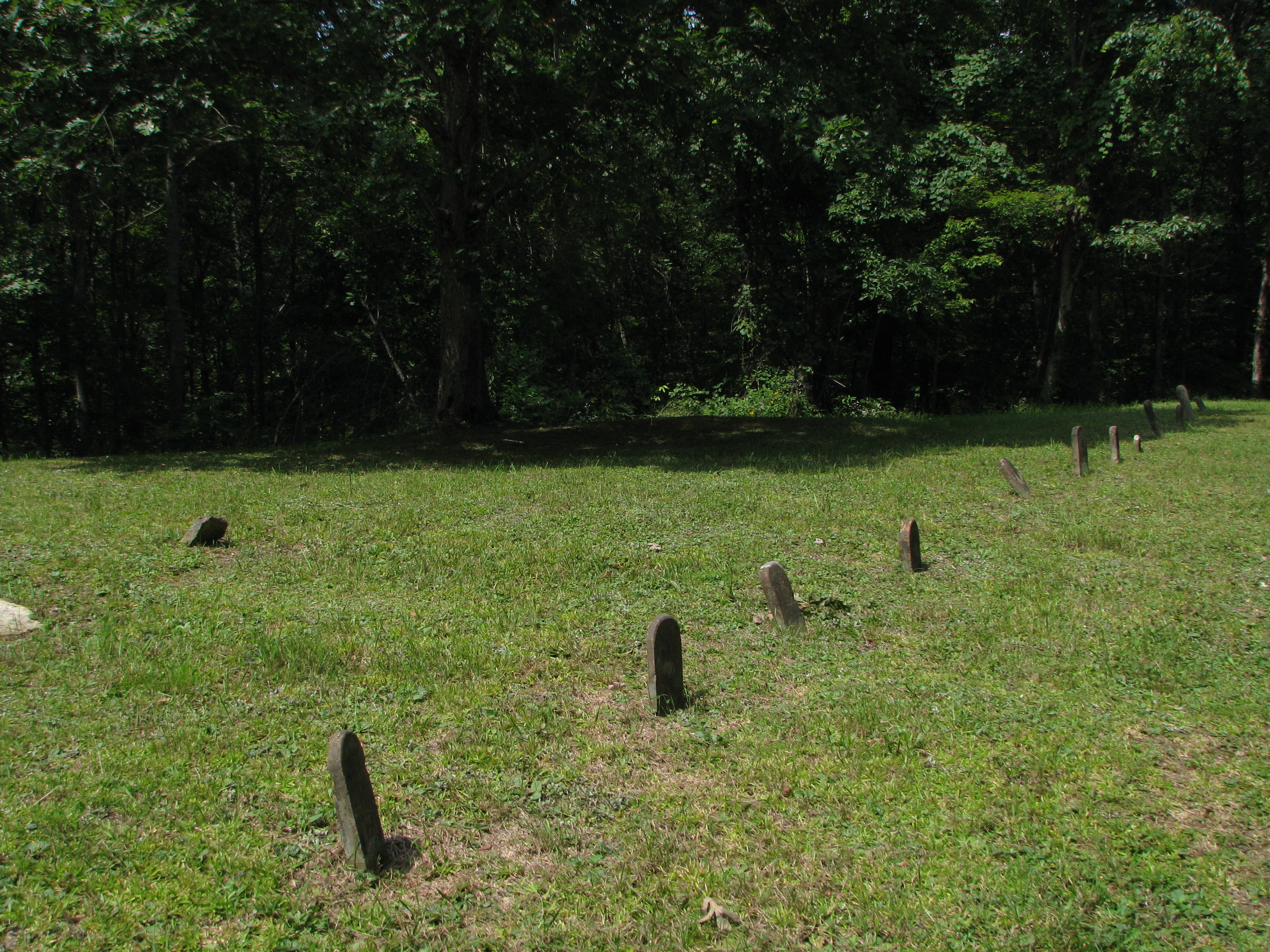
14 Graves for the Jennings Children

fields of Harvests colors
Fall is still here :-)

near Climax Water Co
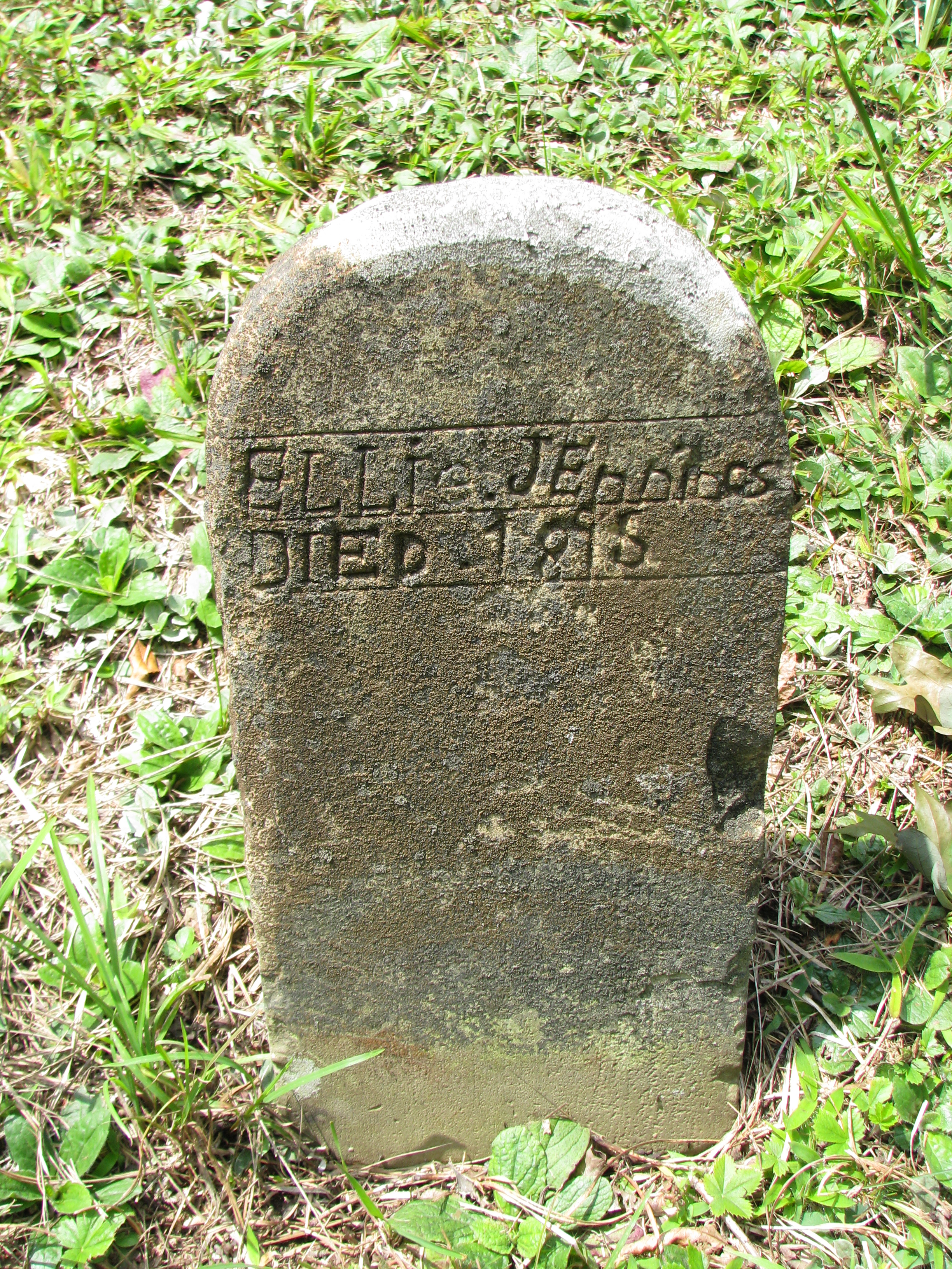
Ellie Jennings
Topographic Map of Mount Vernon, Mt Vernon, KY, USA
Find elevation by address:

Places in Mount Vernon, Mt Vernon, KY, USA:
Places near Mount Vernon, Mt Vernon, KY, USA:
Rockcastle County
667 Barnett Rd
Conway
2392 Davis Branch Rd
2392 Davis Branch Rd
824 S Dogwood Dr
Climax Brushcreek Road
Climax Brushcreek Road
Climax Brushcreek Road
Climax Brushcreek Road
Guynn Rd, Paint Lick, KY, USA
414 Chestnut St
Chestnut St, Berea, KY, USA
Berea
107-101
The Pinnacle
Fields Ln, East Bernstadt, KY, USA
104 Henry Dr
1 Pirate Pkwy
501 Oak Grove Ct
Recent Searches:
- Elevation of Eldorado do Sul - RS, Brazil
- Elevation of Eldorado do Sul - Parque Eldorado, Eldorado do Sul - RS, -, Brazil
- Elevation of 35 Governors Ln, Hilton Head Island, SC, USA
- Elevation of Orangevale, CA, USA
- Elevation of Doe Cir, Clinton, OH, USA
- Elevation of Narhe, Pune, Maharashtra, India
- Elevation of Martins Mill Ct, Eagle Rock, NC, USA
- Elevation of Kippen, Stirling FK8, UK
- Elevation of Sieveringer Straße, Sieveringer Str., Wien, Austria
- Elevation of Bratskaya Ulitsa, 24, Kurgan, Kurganskaya oblast', Russia