Elevation of Conway, KY, USA
Location: United States > Kentucky > Rockcastle County >
Longitude: -84.334379
Latitude: 37.4778617
Elevation: 299m / 981feet
Barometric Pressure: 98KPa
Elevation Map:
Satellite Map:
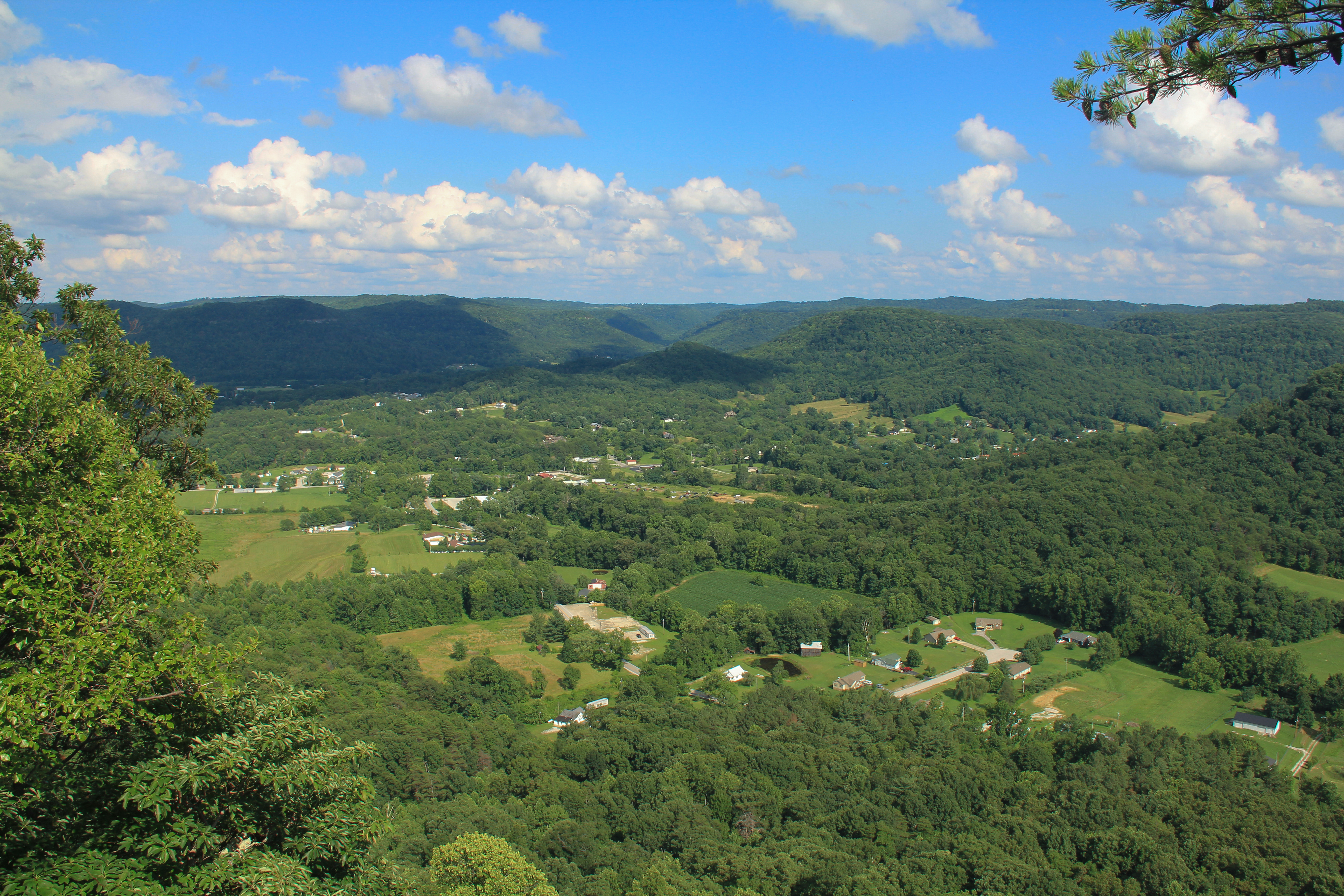
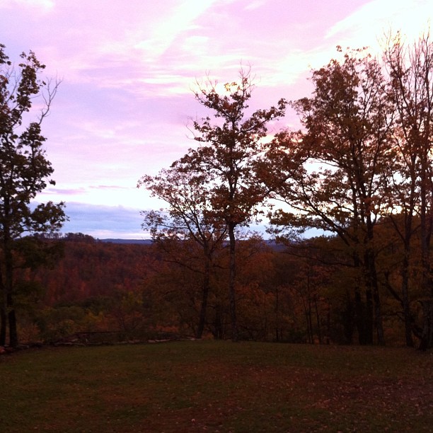
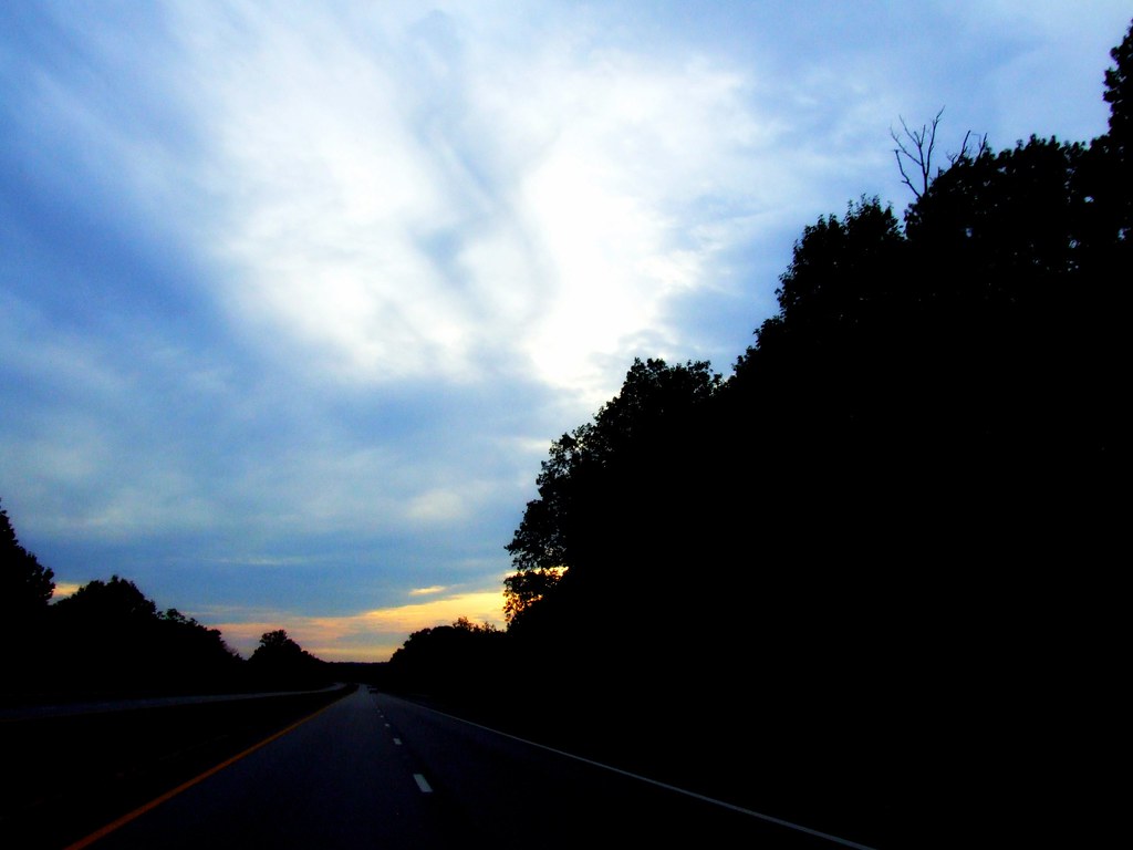
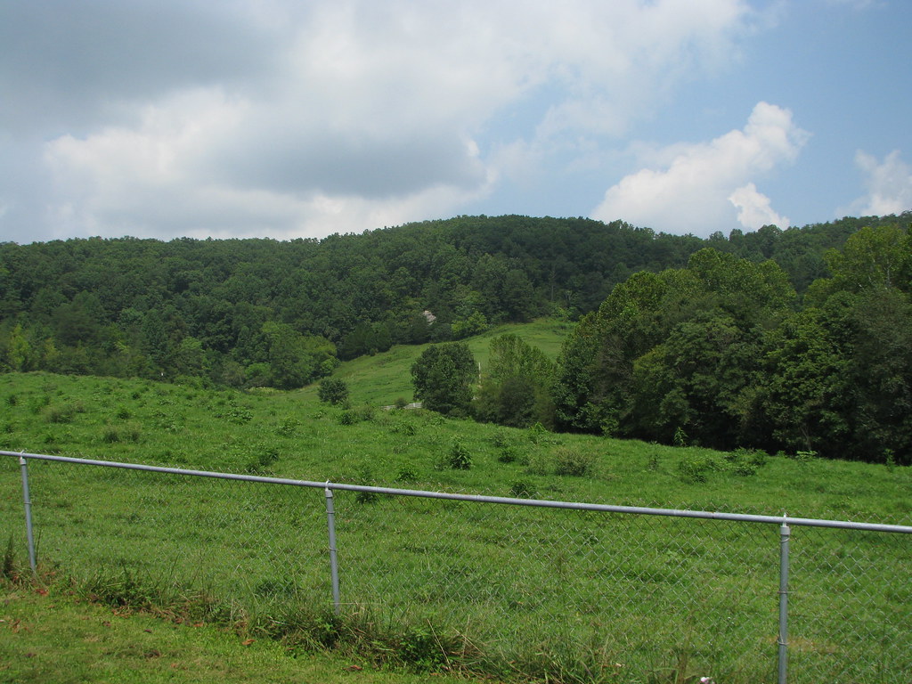
Related Photos:
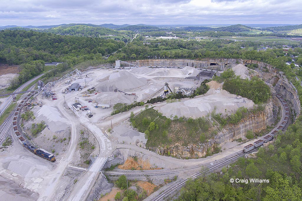
CSXT 3181 Northbound W583-25 at Mount Vernon KY

West Pinnacle forest trail. Berea , KY

Spring Hill, near Crab Orchard

Berea Straits
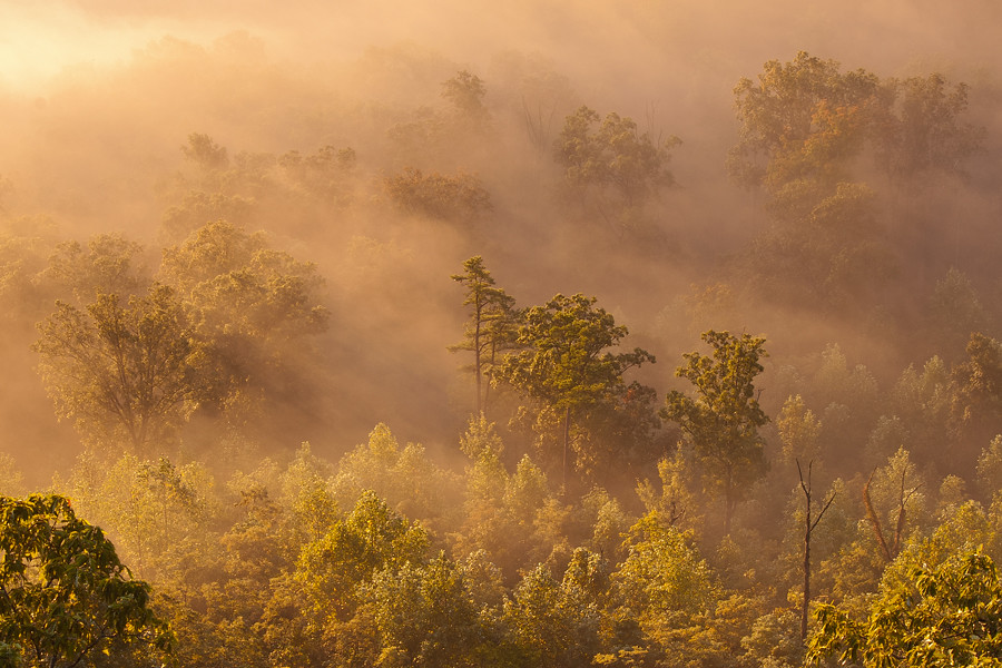
Foggy morning view from Eagle's Nest on Indian Fort Mountain in Berea, KY
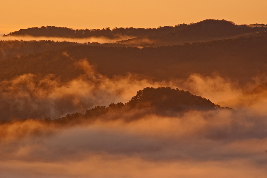
Foggy sunrise view from Eagle's Nest on Indian Fort Mountain in Berea, KY

Lovely view of the Phelps Stokes Chapel at @berea_college #buildings #photoart #artsy #berea #visitberea
Something a little different.......

The Sunrise Peeking Through
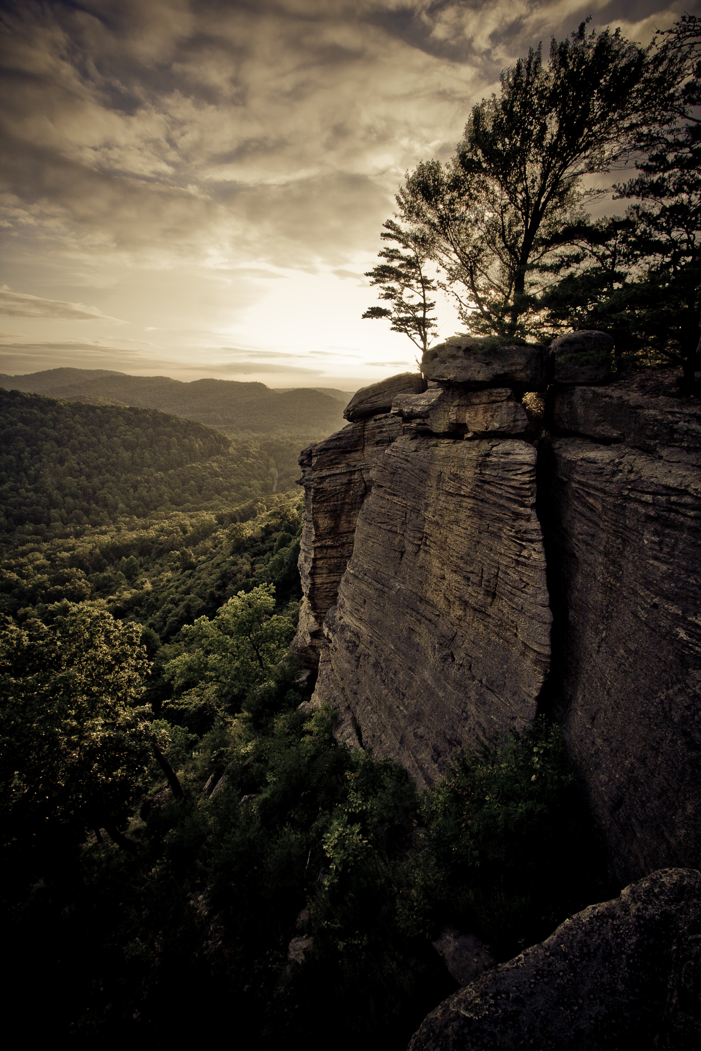
Berea Pinnacles
I could look at this view forever...
A Road Under a Double Helix in the Clouds
The Rock

Church from my point of view :) Hope everyone is have a great morning.

Mmmm...Cookies!

Stanger 48-3

Spring Hill, near Crab Orchard

Spring Hill, near Crab Orchard

My view this morning. Mason is reading in the service and seated up front.

The view out of my office Window this morning. Roads were not great at 7am, but I imagine by now they are better.

Fall Colors in the Fields of Rockcastle County
Bliss and ReUnion
@ the top of Anglin Falls in the Fall.
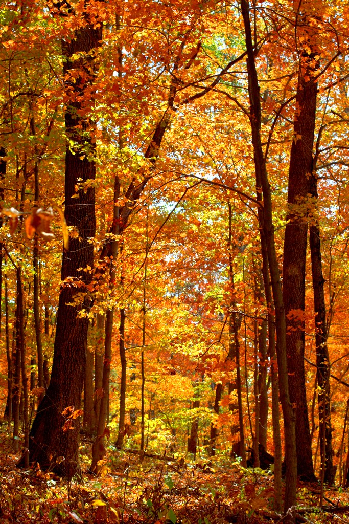
Autumn, Berea Forest

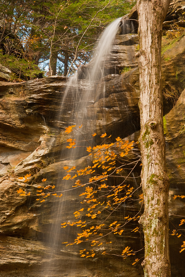
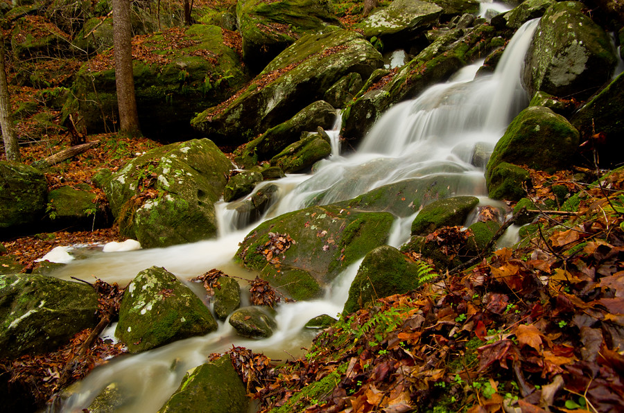
Anglin Falls
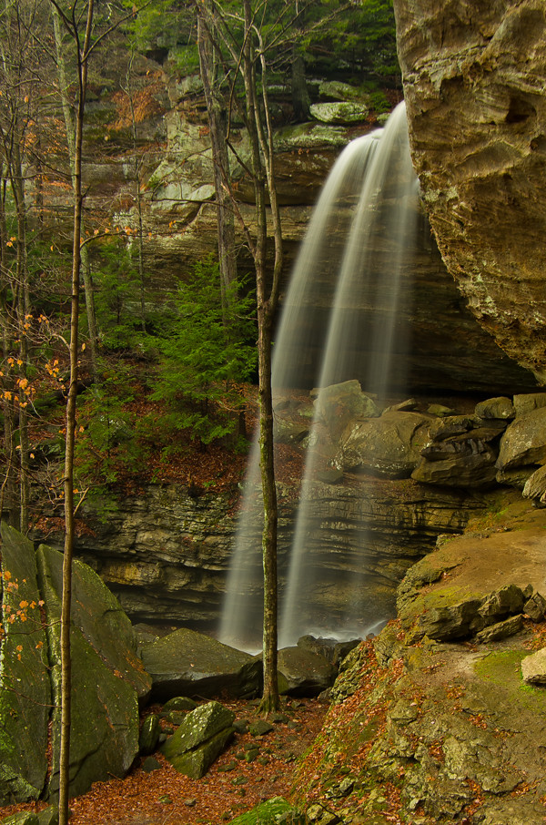
Anglin Falls near Berea, KY
Anglin Creek below the falls.
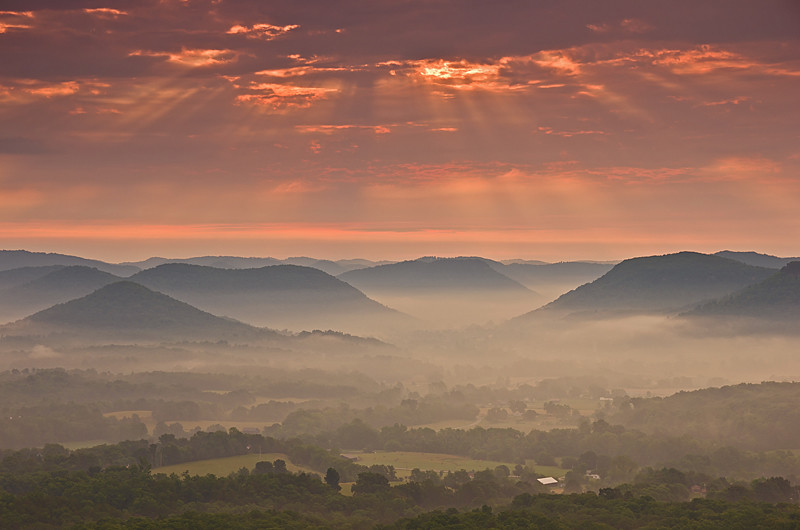
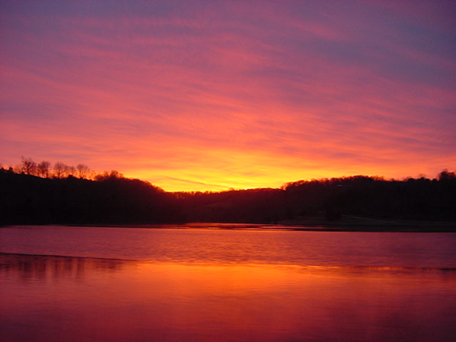
Sunrise over the Eastern Kentucky hills.
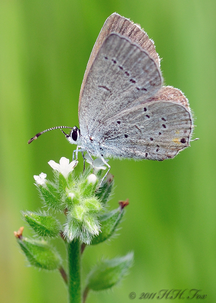
Spring Azure

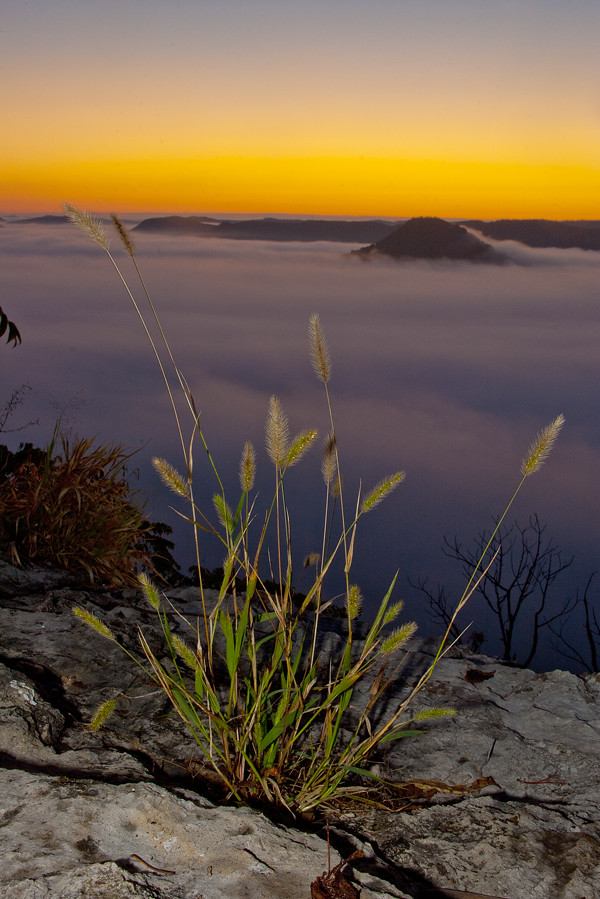
From Indian Fort Mountain at Eagle's Nest.
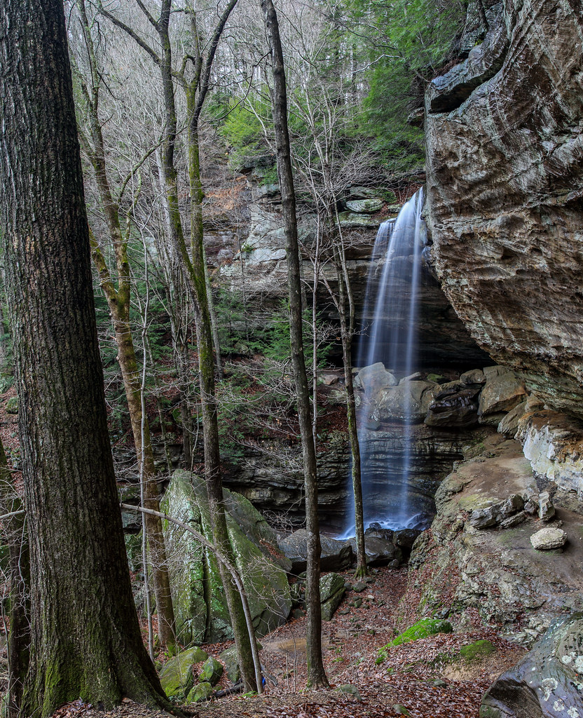
Anglin Falls

♥ ♥ Ailanthus Webworm Moth ♥ ♥ ♥ Queen Anne's Lace ♥ ♥
Lake Linville at dusk
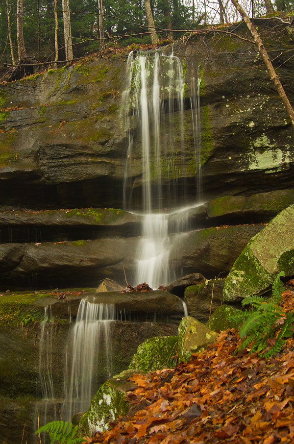
Anglin Falls one more....

Just a little 24 inch'er....
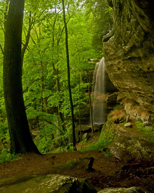
Anglin Falls, KY
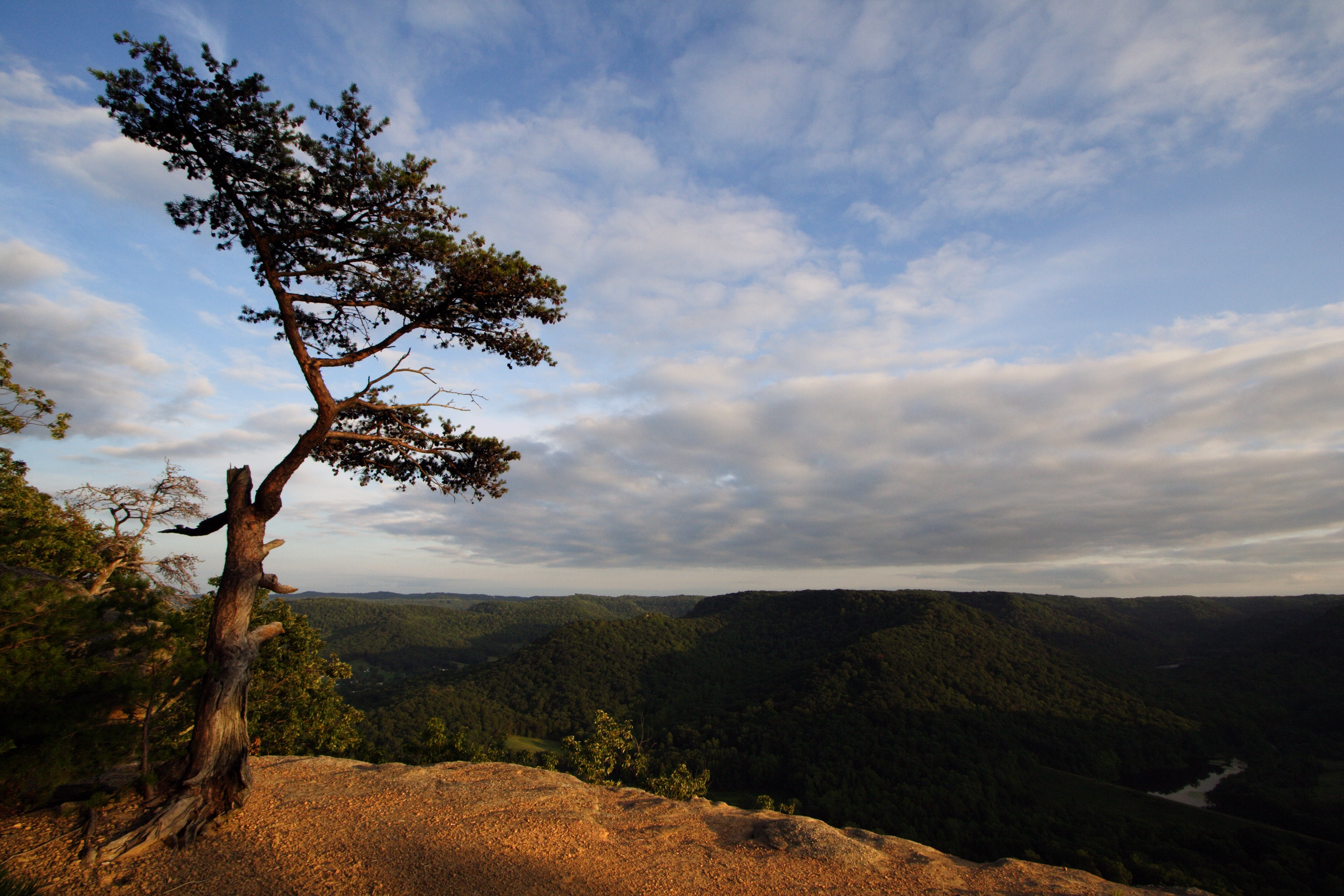
Lonely Pine on Indian Fort Mountain
Topographic Map of Conway, KY, USA
Find elevation by address:

Places near Conway, KY, USA:
824 S Dogwood Dr
2392 Davis Branch Rd
2392 Davis Branch Rd
Guynn Rd, Paint Lick, KY, USA
414 Chestnut St
Chestnut St, Berea, KY, USA
Berea
The Pinnacle
104 Henry Dr
1 Pirate Pkwy
501 Oak Grove Ct
1005 Whipporwill Dr
Climax Brushcreek Road
Climax Brushcreek Road
Climax Brushcreek Road
Climax Brushcreek Road
Indian Fort Mountain
560 Ashley Ct
107-101
Ridgeview Drive
Recent Searches:
- Elevation of 24 Oakland Rd #, Scotland, ON N0E 1R0, Canada
- Elevation of Deep Gap Farm Rd E, Mill Spring, NC, USA
- Elevation of Dog Leg Dr, Minden, NV, USA
- Elevation of Dog Leg Dr, Minden, NV, USA
- Elevation of Kambingan Sa Pansol Atbp., Purok 7 Pansol, Candaba, Pampanga, Philippines
- Elevation of Pinewood Dr, New Bern, NC, USA
- Elevation of Mountain View, CA, USA
- Elevation of Foligno, Province of Perugia, Italy
- Elevation of Blauwestad, Netherlands
- Elevation of Bella Terra Blvd, Estero, FL, USA