Elevation of Mount Sinclair, East Kootenay G, BC V0A, Canada
Location: Canada > British Columbia > East Kootenay > Edgewater >
Longitude: -115.91305
Latitude: 50.6411111
Elevation: 2615m / 8579feet
Barometric Pressure: 74KPa
Elevation Map:
Satellite Map:
Related Photos:
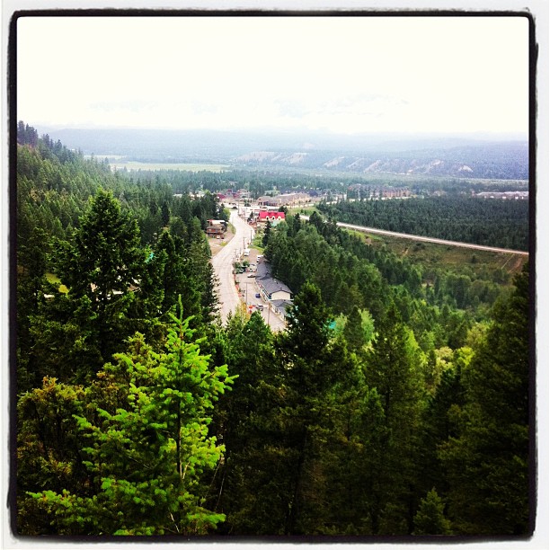
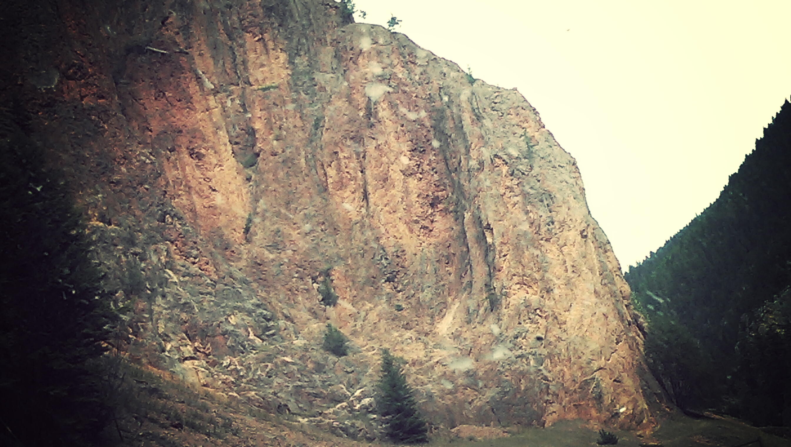
IMG_1821 (2)
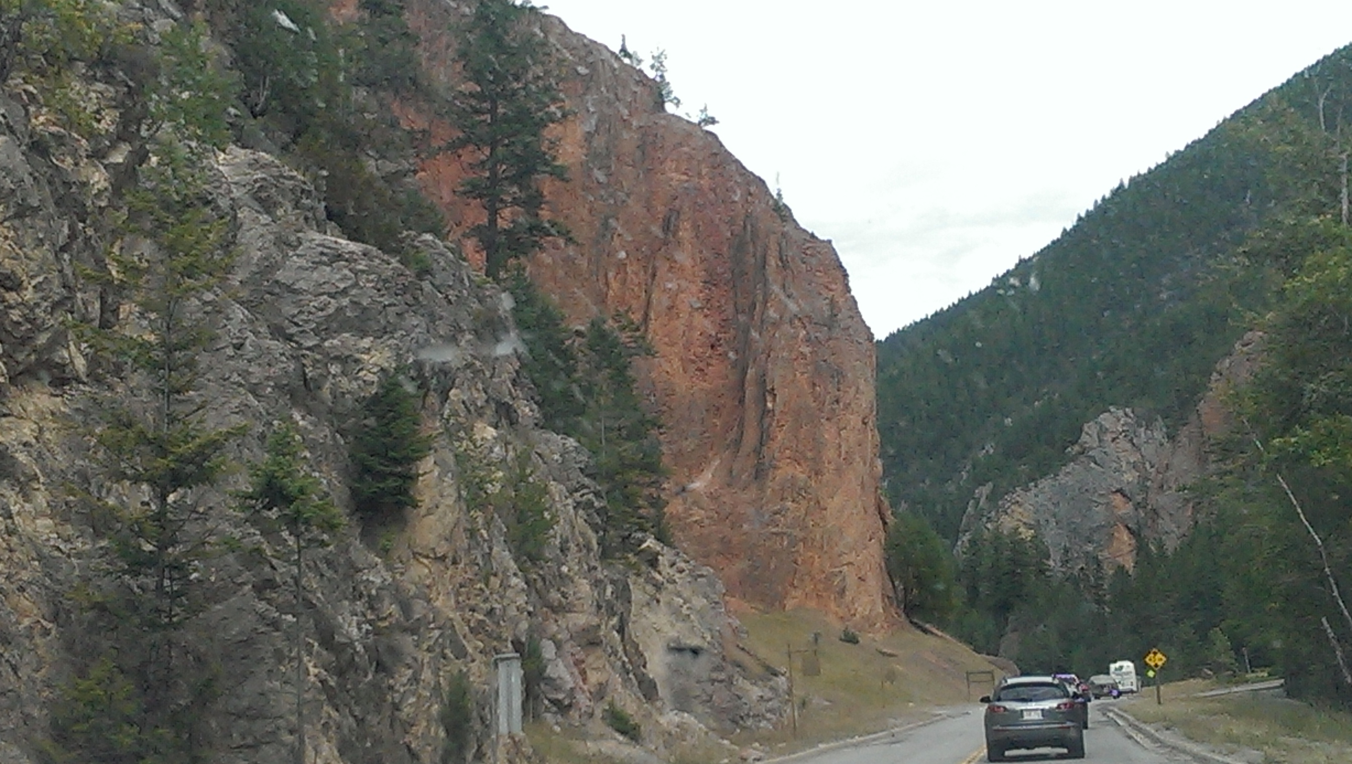
IMG_1830 (2)

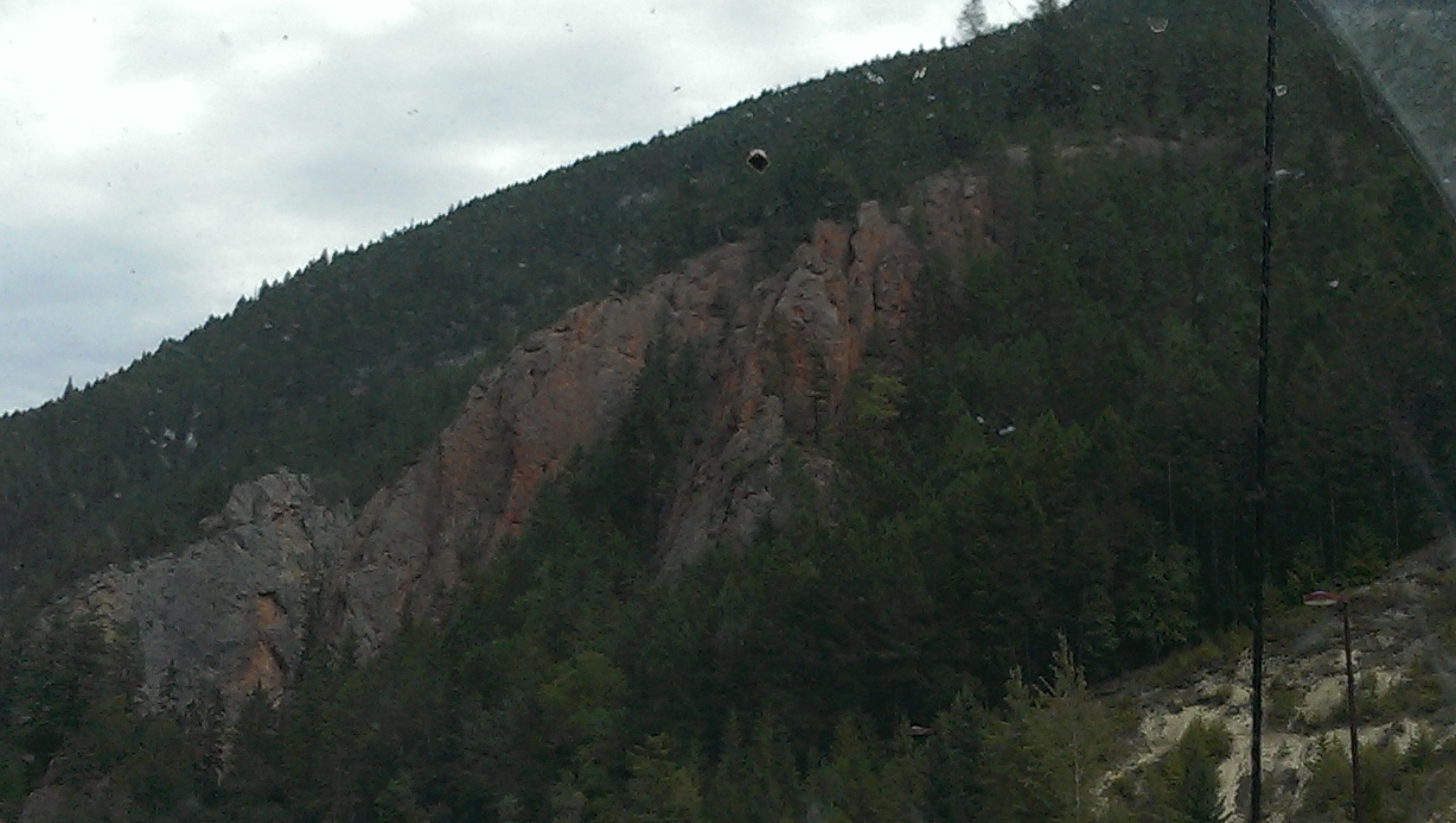
IMG_1891 (2)
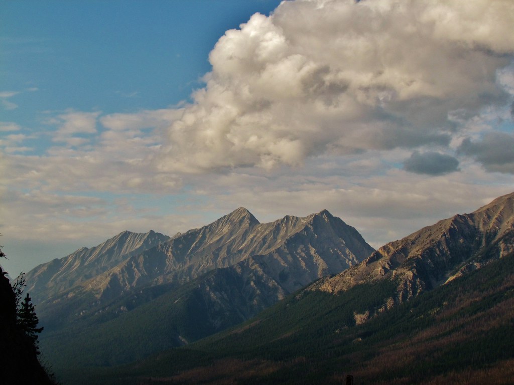
IMG_1836 (2)

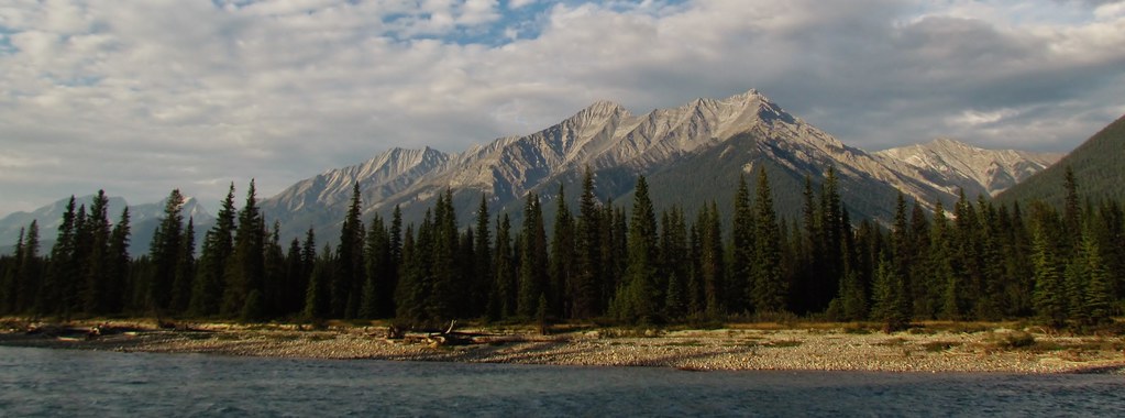
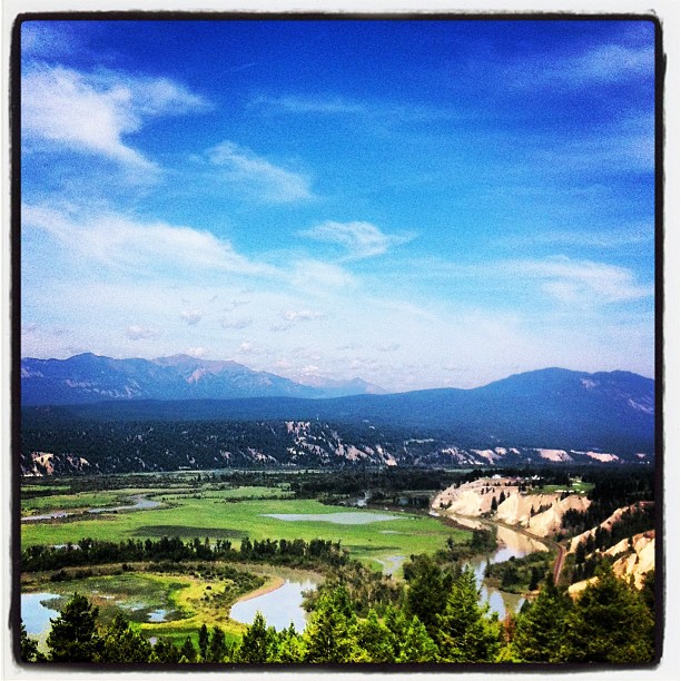
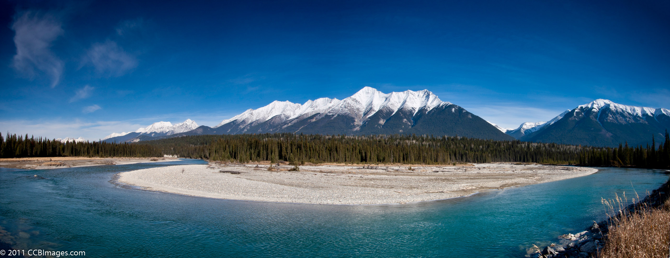
Columbia River Valley
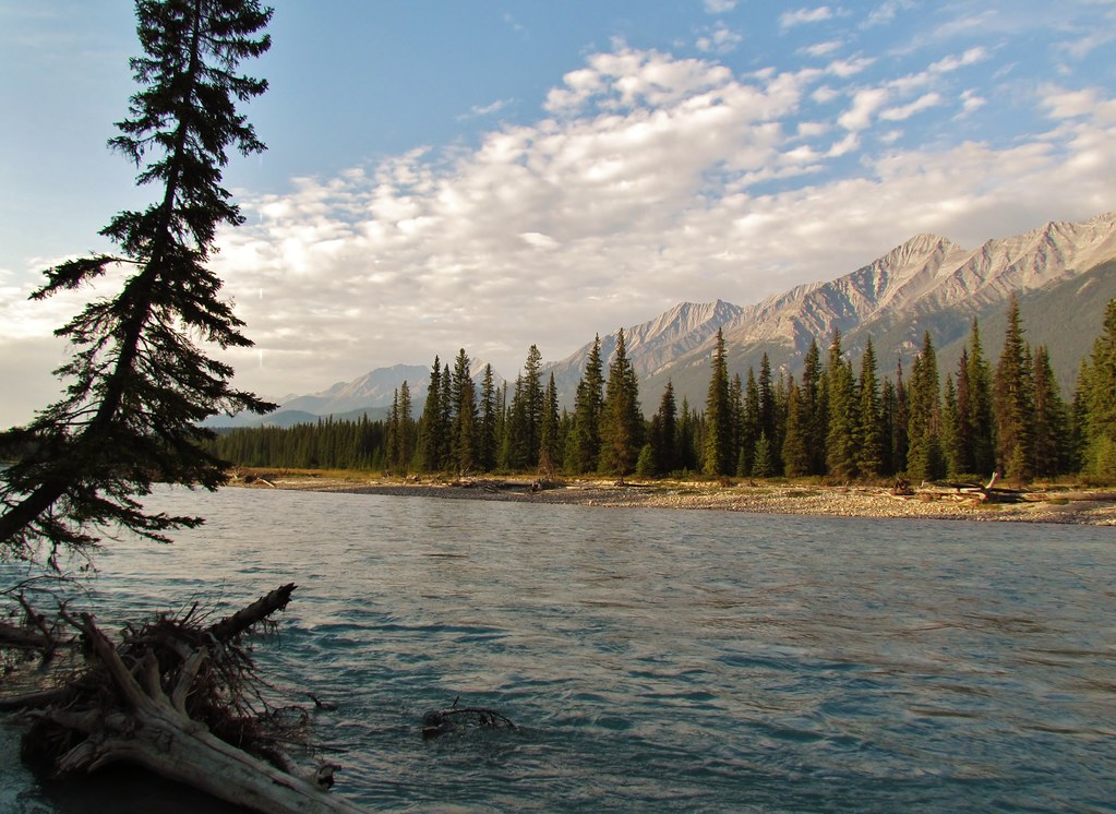
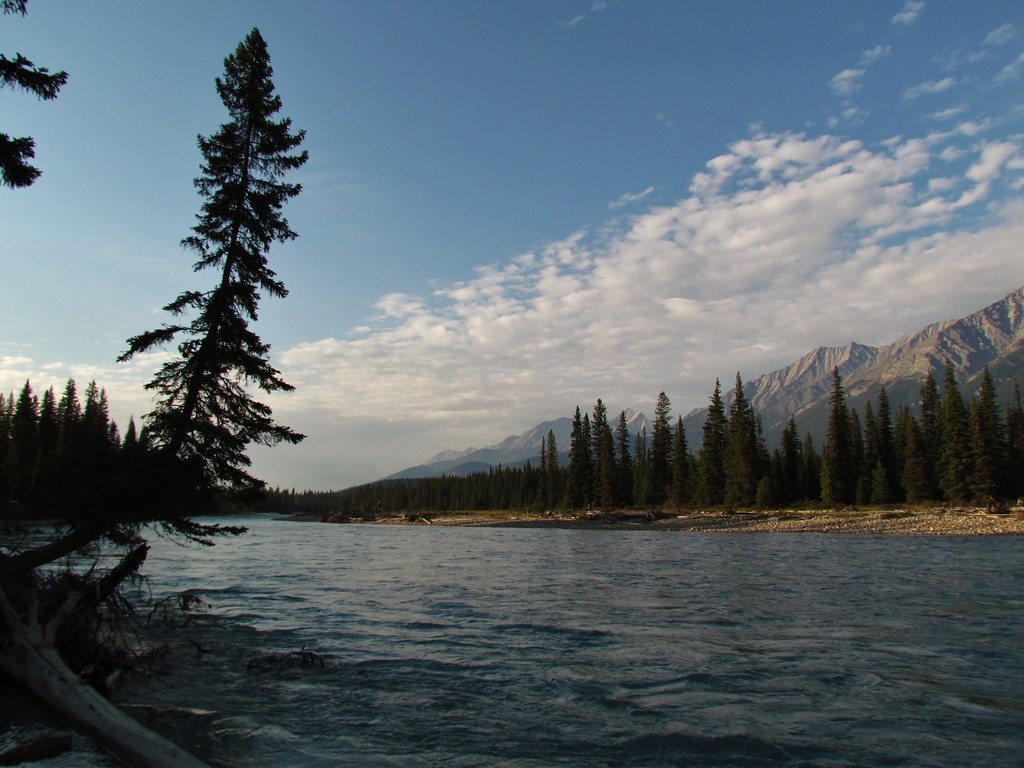
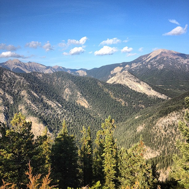
The view from my office this morning. #ilivewhereyouvacation
The view from my office today. #ilivewhereyouvacation
The view from my office this morning. #ilivewhereyouvacation
The view from my office this morning #ilivewhereyouvacation

The view from my office this afternoon. #thatsourcolumbiavalley
The view from my office this morning. #thatsourcolumbiavalley
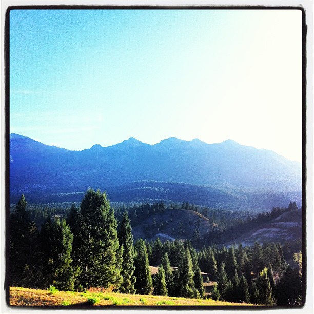
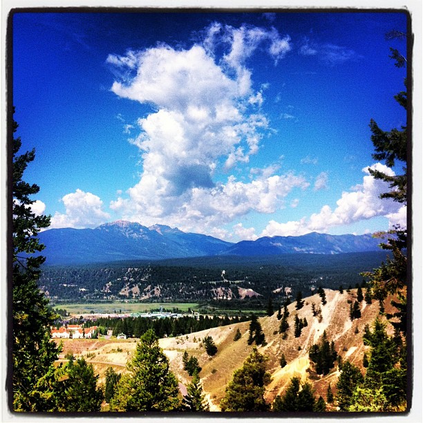
The Mountain View

Chalet on the Hill
The Mountain View
The Mountain View
IMG_1844 (2)
Across the River
View from Mt. Swansea
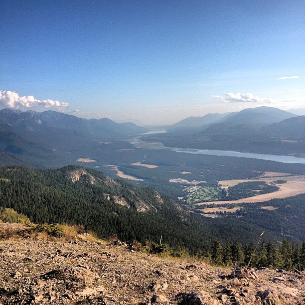
View from up top
Topographic Map of Mount Sinclair, East Kootenay G, BC V0A, Canada
Find elevation by address:

Places near Mount Sinclair, East Kootenay G, BC V0A, Canada:
Lookout Point
Kindersley Se5
Brisco Range
Kindersley Se4
Kindersley S4
Kindersley Se1
Kindersley E2
Mount Berland
Mount Kindersley
Kindersley Nw1
Radium Elk Park B&b
Kindersley N4
Mount Crook
5321 Hewitt Rd
Shyster Peak
Edgewater
Shyster Nw2
Millstone Peak
British Columbia 95
Mount Assiniboine Provincial Park
Recent Searches:
- Elevation of Corso Fratelli Cairoli, 35, Macerata MC, Italy
- Elevation of Tallevast Rd, Sarasota, FL, USA
- Elevation of 4th St E, Sonoma, CA, USA
- Elevation of Black Hollow Rd, Pennsdale, PA, USA
- Elevation of Oakland Ave, Williamsport, PA, USA
- Elevation of Pedrógão Grande, Portugal
- Elevation of Klee Dr, Martinsburg, WV, USA
- Elevation of Via Roma, Pieranica CR, Italy
- Elevation of Tavkvetili Mountain, Georgia
- Elevation of Hartfords Bluff Cir, Mt Pleasant, SC, USA