Elevation of Kindersley E2, East Kootenay G, BC V0A, Canada

Location: Canada > British Columbia > East Kootenay > Edgewater >

Longitude: -115.99527

Latitude: 50.7438888

Elevation: 2254m / 7395feet

Barometric Pressure: 77KPa

Elevation Map:

elevation map of Kindersley E2, East Kootenay G, BC V0A, Canada

Satellite Map:

Satellite map of Kindersley E2, East Kootenay G, BC V0A, Canada

Related Photos:

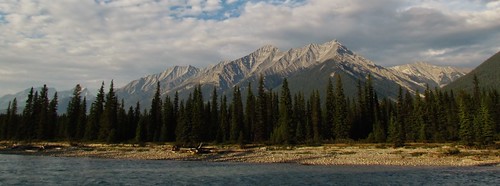
park travel blue trees light sky canada mountains green nature water rock clouds forest canon river landscapes daylight nationalpark woods scenery view britishcolumbia country peaceful powershot daytime geology tranquil rushingwater canadianrockies hwy93 kootenaynationalpark kootenayriver nationalscenicbyway waltphotos lordwalt sx30is
IMG_1821 (2)
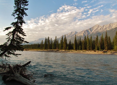
park travel blue trees light sky canada mountains green nature water rock clouds forest canon river landscapes daylight nationalpark woods scenery view britishcolumbia country peaceful powershot daytime geology tranquil rushingwater canadianrockies hwy93 kootenaynationalpark kootenayriver nationalscenicbyway waltphotos lordwalt mygearandme sx30is
IMG_1830 (2)
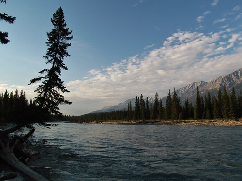
park travel blue trees light sky canada mountains green nature water rock clouds forest canon river landscapes daylight nationalpark woods scenery view britishcolumbia country peaceful powershot daytime geology tranquil rushingwater canadianrockies hwy93 kootenaynationalpark kootenayriver nationalscenicbyway waltphotos lordwalt sx30is
IMG_1836 (2)
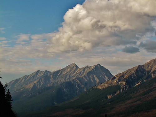
park travel flowers blue trees light sunset sky canada mountains green nature grass rock clouds forest canon landscapes daylight nationalpark scenery view britishcolumbia country peaceful powershot vista daytime geology tranquil canadianrockies kootenaynationalpark waltphotos lordwalt sx30is
IMG_1844 (2)
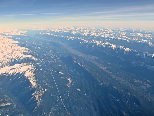
mountains river rockies flying bc columbia valley airborne b737 takenatwork
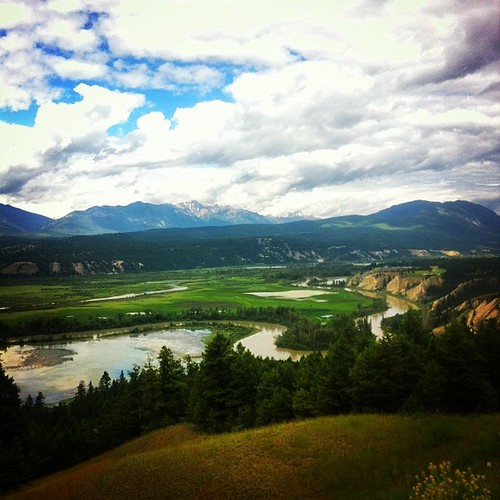
Columbia River Valley
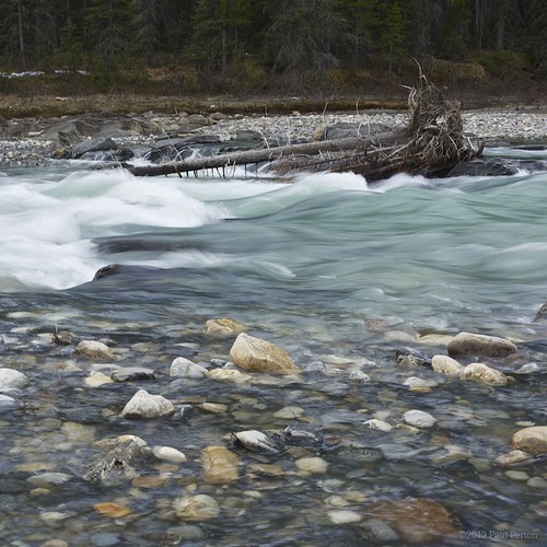
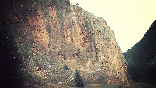
canada rock river landscape banff rapid snowmelt kootenaynationalpark rockflour manuallensnocpu
Snow melt
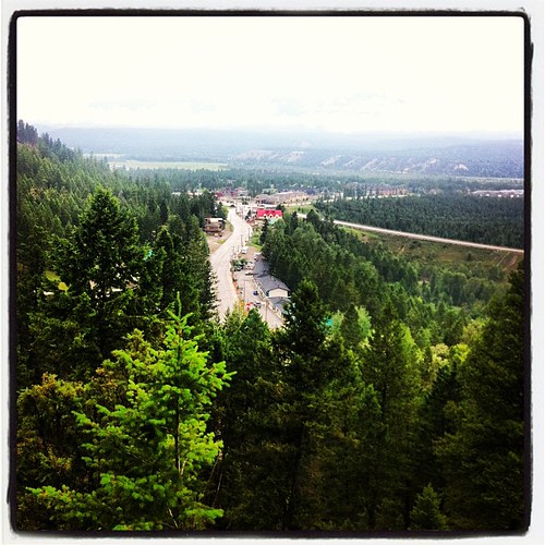
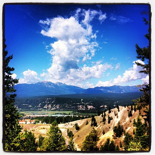
square lofi squareformat iphoneography instagramapp uploaded:by=instagram foursquare:venue=4c55082d30f92d7f9e186bbb
The view from my office this morning. #ilivewhereyouvacation
ca canada geotagged alberta gps kootenaynationalpark ©2011ccbimagescom
Across the River
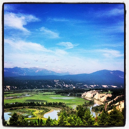
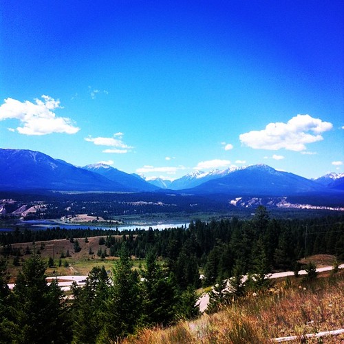
square lofi squareformat iphoneography instagramapp uploaded:by=instagram foursquare:venue=4bb367bea32876b086a001fe
The view from my office today. #ilivewhereyouvacation
square lofi squareformat iphoneography instagramapp uploaded:by=instagram foursquare:venue=4bf6c37b5ec320a1e7b585d3
The view from my office this morning. #ilivewhereyouvacation
square lofi squareformat iphoneography instagramapp uploaded:by=instagram foursquare:venue=4bf6c37b5ec320a1e7b585d3
The view from my office this morning #ilivewhereyouvacation
square lofi squareformat iphoneography instagramapp uploaded:by=instagram
The view from my office this afternoon. #thatsourcolumbiavalley
square lofi squareformat iphoneography instagramapp uploaded:by=instagram
The view from my office this morning. #thatsourcolumbiavalley
flickrandroidapp:filter=mammoth
The Mountain View
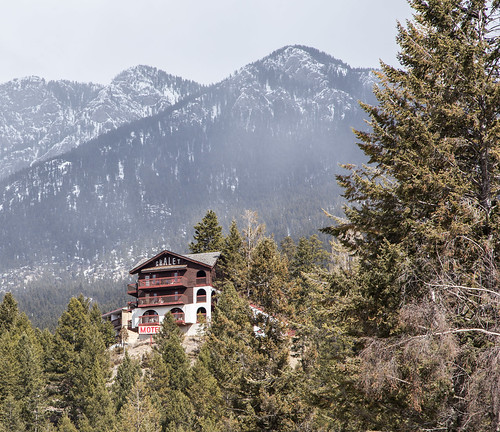
trees canada mountains britishcolumbia chalet radiumhotsprings
Chalet on the Hill
flickrandroidapp:filter=none
The Mountain View
flickrandroidapp:filter=none
The Mountain View