Elevation of Mount Outram, Fraser Valley B, BC V0X, Canada
Location: Canada > British Columbia > Hope >
Longitude: -121.15833
Latitude: 49.2897222
Elevation: 2338m / 7671feet
Barometric Pressure: 76KPa
Elevation Map:
Satellite Map:
Related Photos:
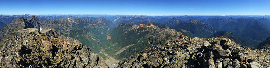
Silvertip Mt Summit View to the North
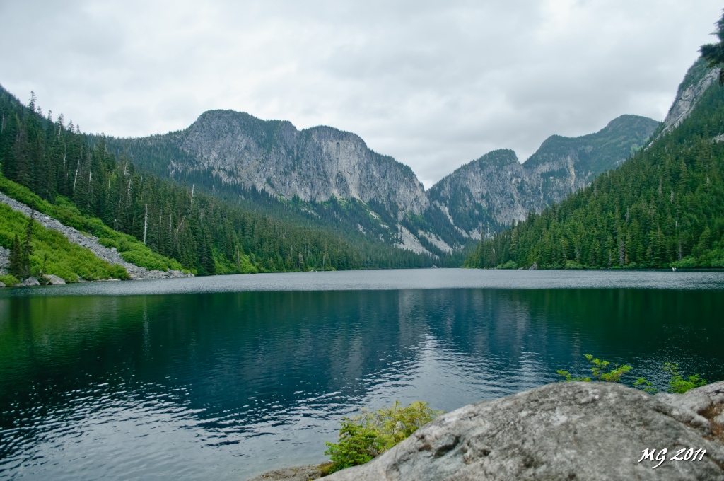
Eaton Lake View
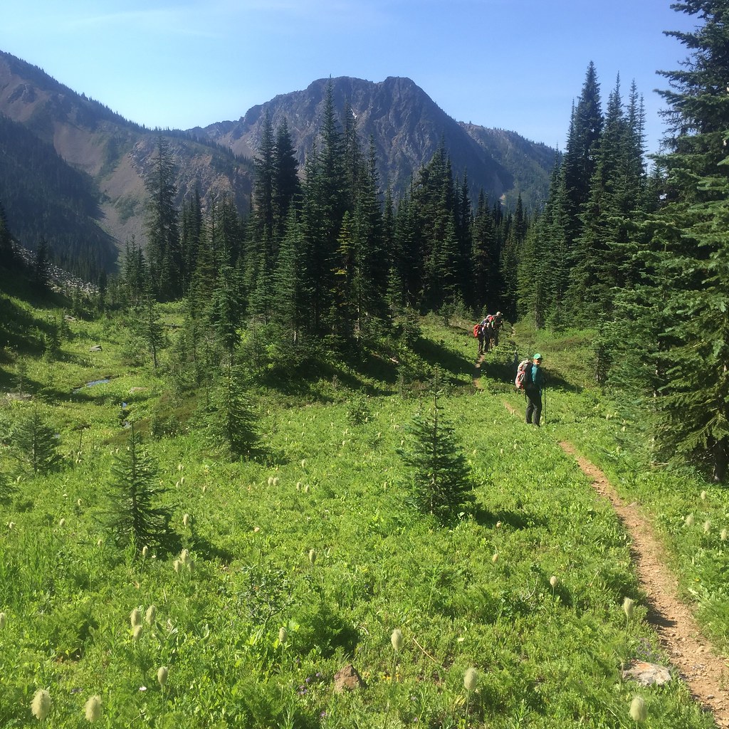
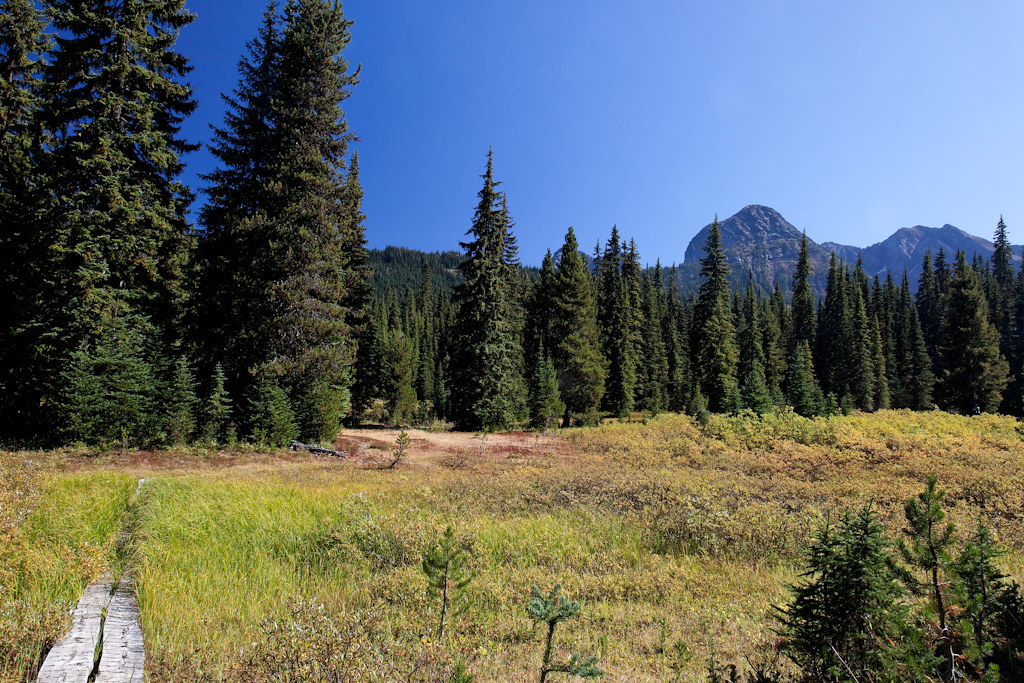
View of the meadow leading up to Silvertip Mt

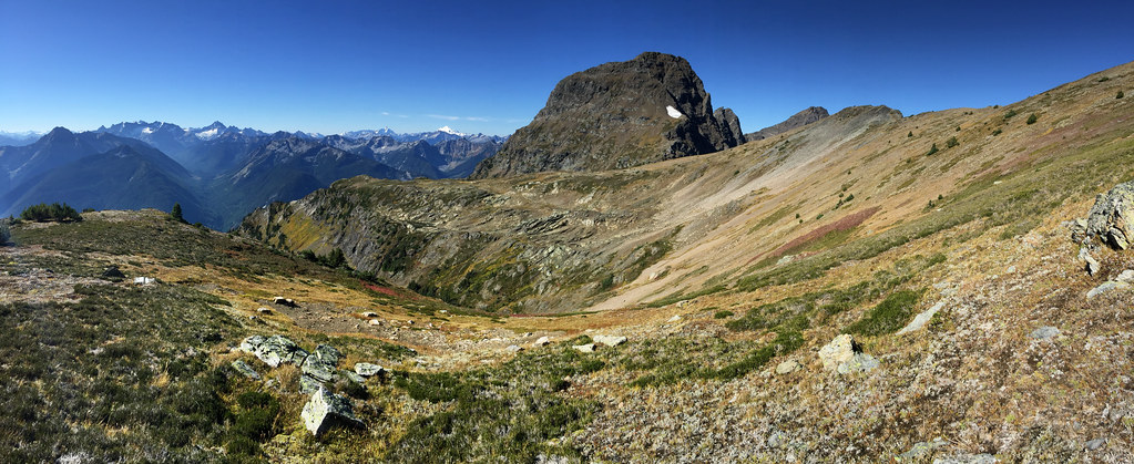
View From Saddle beside Mt Snass

Roadside view
2015 Day 186 - Heading Towards Punchbowl Lake
Snass View Camp

Views from the Whatcom Trail
Topographic Map of Mount Outram, Fraser Valley B, BC V0X, Canada
Find elevation by address:

Places near Mount Outram, Fraser Valley B, BC V0X, Canada:
Mount Manson
Mount Hatfield
Johnson Peak
Macleod Peak
Fraser Valley B
Sunshine Valley Rv Resort & Cabins
Sunshine Valley
14371 Alpine Blvd
14371 Alpine Blvd
Parkhill Boulevard
Parkview Avenue
Mount Davis
Mount Ford
Mount Dewdney
Tulameen Mountain
Mount Potter
Battleford Peak
Mount Snider
Mount Coulter
Mount Sutter
Recent Searches:
- Elevation of Corso Fratelli Cairoli, 35, Macerata MC, Italy
- Elevation of Tallevast Rd, Sarasota, FL, USA
- Elevation of 4th St E, Sonoma, CA, USA
- Elevation of Black Hollow Rd, Pennsdale, PA, USA
- Elevation of Oakland Ave, Williamsport, PA, USA
- Elevation of Pedrógão Grande, Portugal
- Elevation of Klee Dr, Martinsburg, WV, USA
- Elevation of Via Roma, Pieranica CR, Italy
- Elevation of Tavkvetili Mountain, Georgia
- Elevation of Hartfords Bluff Cir, Mt Pleasant, SC, USA