Elevation of Mount Ford, Fraser Valley B, BC V0X, Canada
Location: Canada > British Columbia > Hope >
Longitude: -121.07222
Latitude: 49.2522222
Elevation: 2077m / 6814feet
Barometric Pressure: 79KPa
Elevation Map:
Satellite Map:
Related Photos:
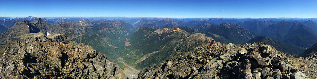
Silvertip Mt Summit View to the North
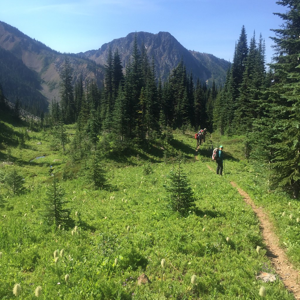
View of the meadow leading up to Silvertip Mt

Roadside view

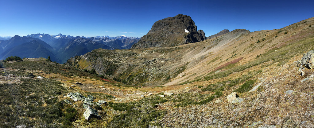
View From Saddle beside Mt Snass
2015 Day 186 - Heading Towards Punchbowl Lake
Snass View Camp

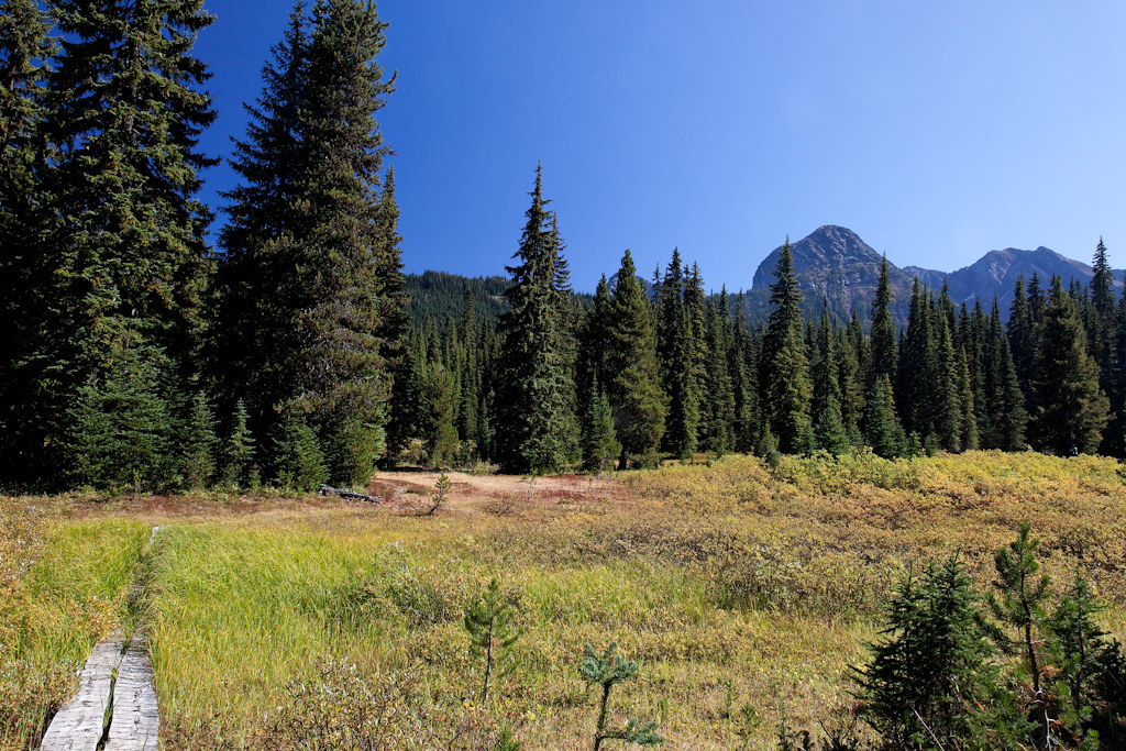
Views from the Whatcom Trail
Topographic Map of Mount Ford, Fraser Valley B, BC V0X, Canada
Find elevation by address:

Places near Mount Ford, Fraser Valley B, BC V0X, Canada:
Mount Dewdney
Battleford Peak
Mount Davis
Mount Outram
Snass Mountain
Mount Manson
Mount Hatfield
Johnson Peak
Tulameen Mountain
Macleod Peak
Sunshine Valley Rv Resort & Cabins
Sunshine Valley
Fraser Valley B
14371 Alpine Blvd
14371 Alpine Blvd
Parkhill Boulevard
Parkview Avenue
Mount Sutter
Mount Potter
Mount Snider
Recent Searches:
- Elevation of Corso Fratelli Cairoli, 35, Macerata MC, Italy
- Elevation of Tallevast Rd, Sarasota, FL, USA
- Elevation of 4th St E, Sonoma, CA, USA
- Elevation of Black Hollow Rd, Pennsdale, PA, USA
- Elevation of Oakland Ave, Williamsport, PA, USA
- Elevation of Pedrógão Grande, Portugal
- Elevation of Klee Dr, Martinsburg, WV, USA
- Elevation of Via Roma, Pieranica CR, Italy
- Elevation of Tavkvetili Mountain, Georgia
- Elevation of Hartfords Bluff Cir, Mt Pleasant, SC, USA