Elevation of Mount Olive Road, Mt Olive Rd, Toms Brook, VA, USA
Location: United States > Virginia > Shenandoah County > Toms Brook >
Longitude: -78.446772
Latitude: 38.9709843
Elevation: 290m / 951feet
Barometric Pressure: 98KPa
Elevation Map:
Satellite Map:
Related Photos:
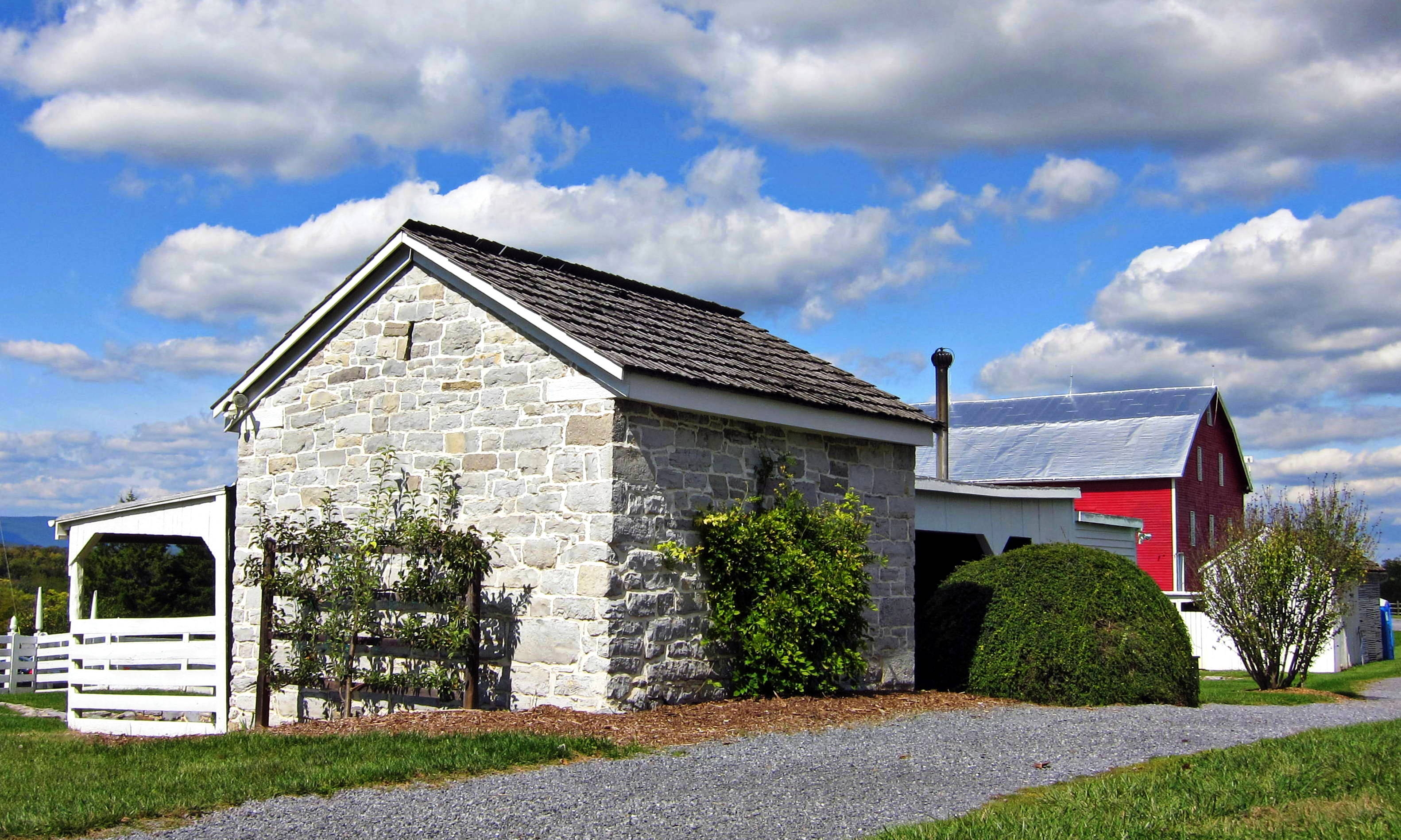
Belle Grove blacksmith shop and barn
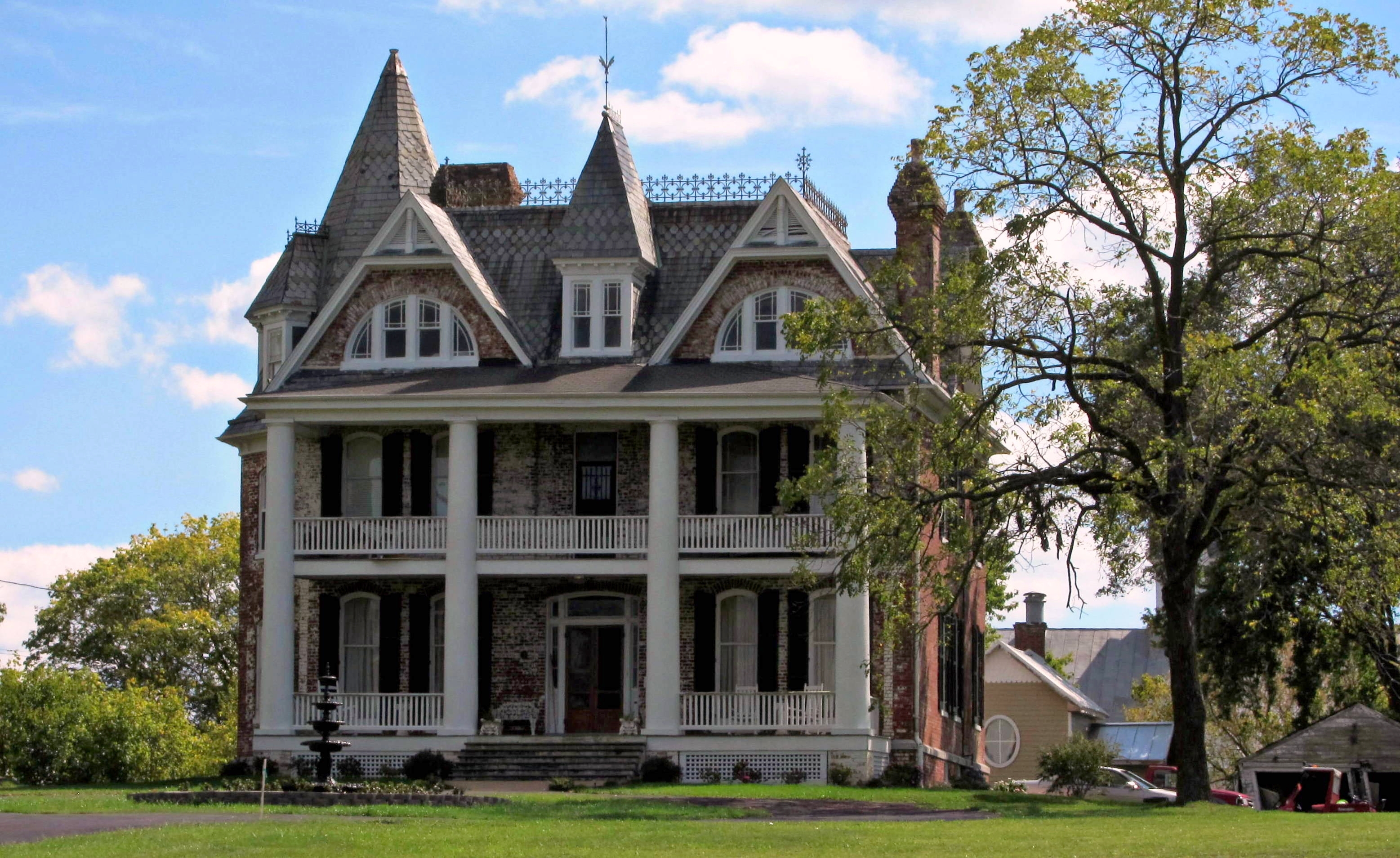
Monte Vista

Monte Vista
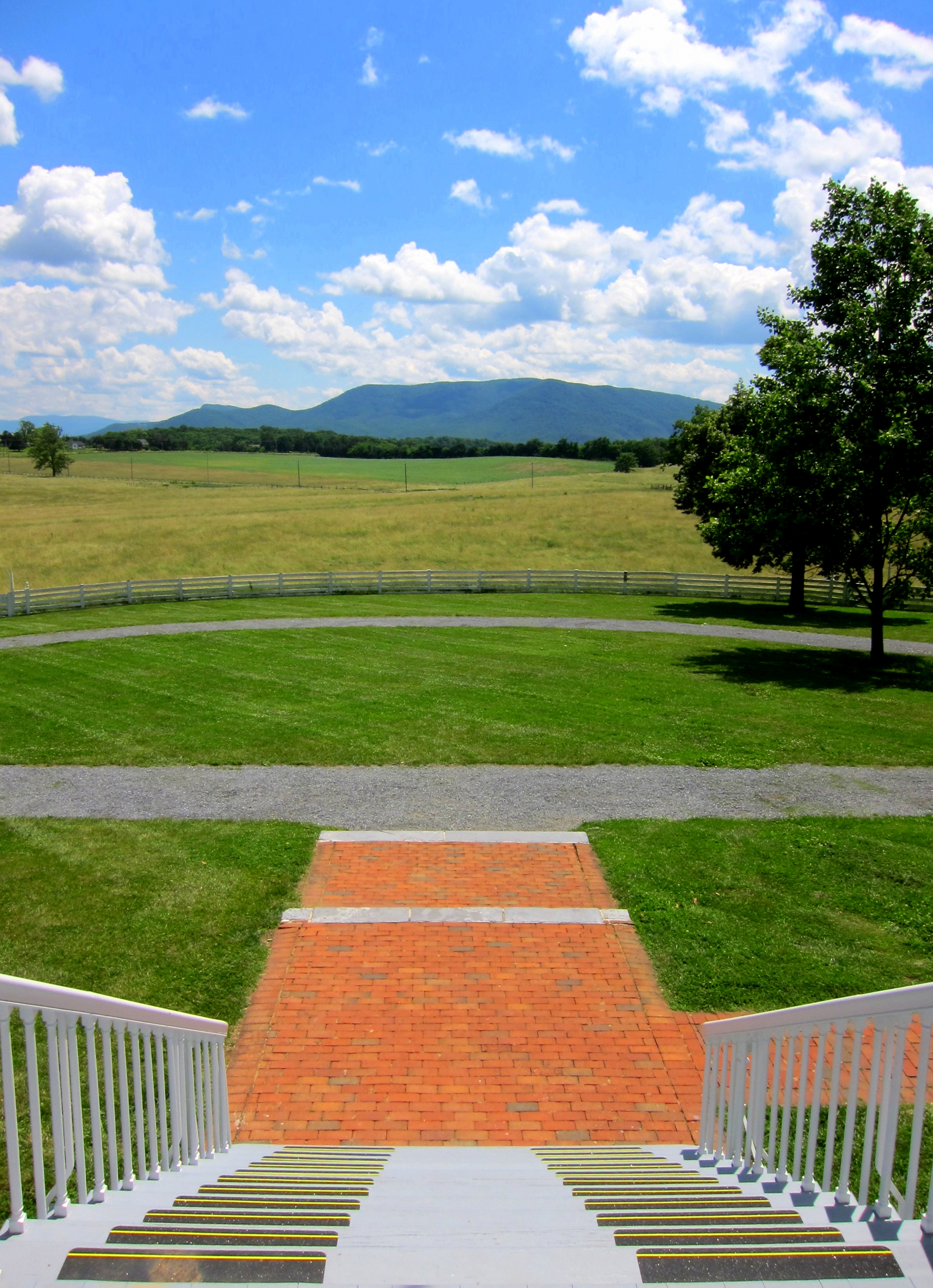
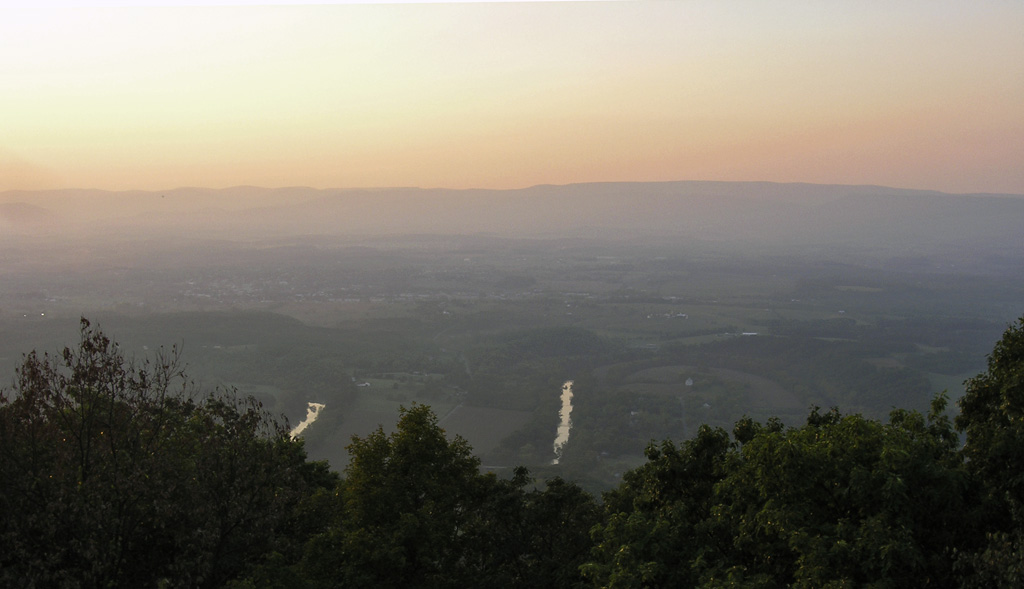
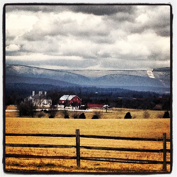
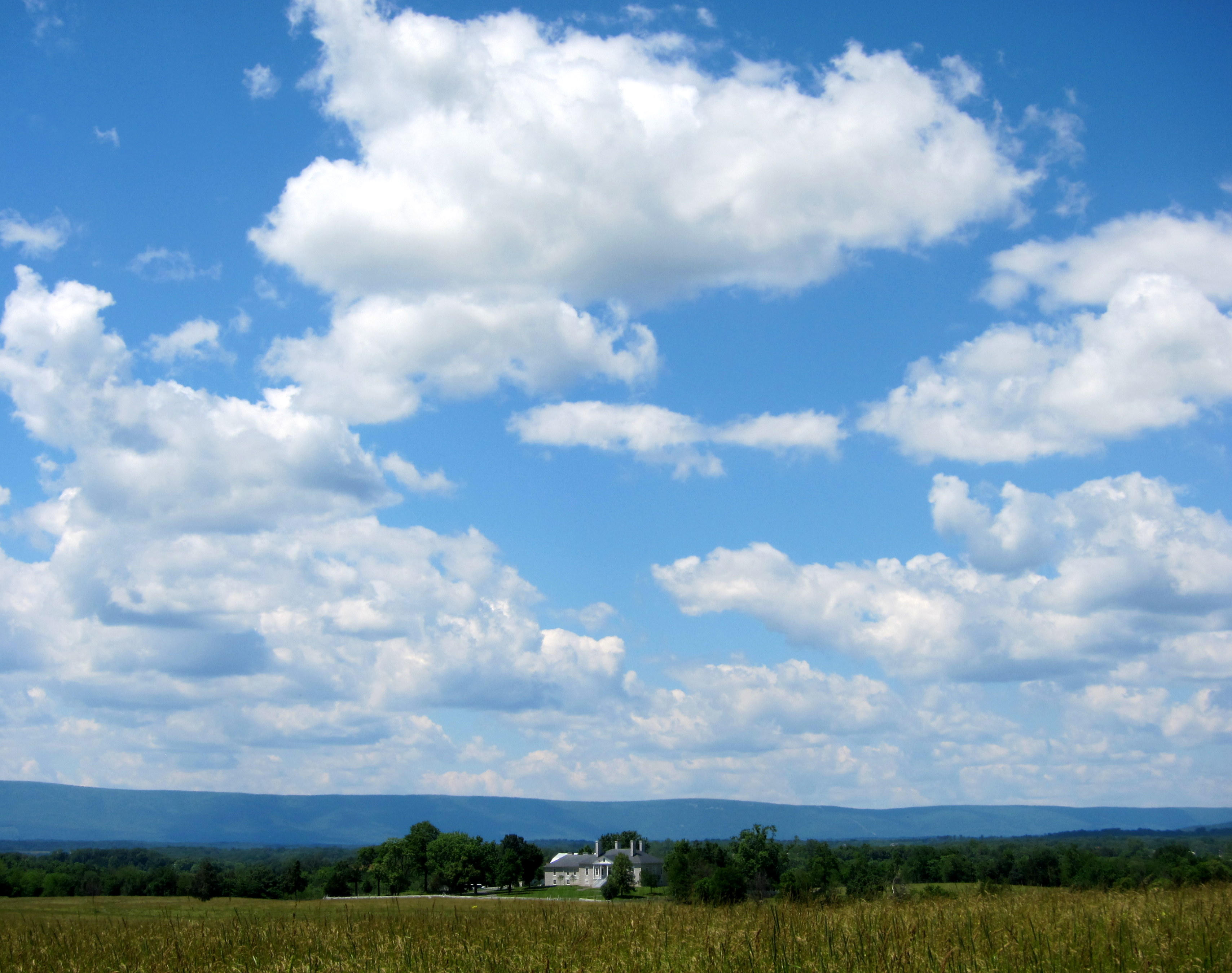
View from Belle Grove

1,000,000
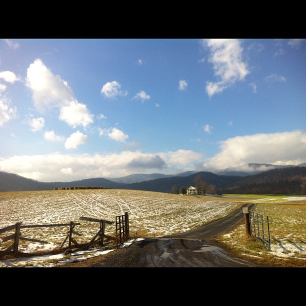
We weren't expecting the waist-deep snow-drifts... neither were my shoes, but this view made it worth the pain.???? (debatably)

Late Fall at Passage Creek
Passage Creek Up Stream

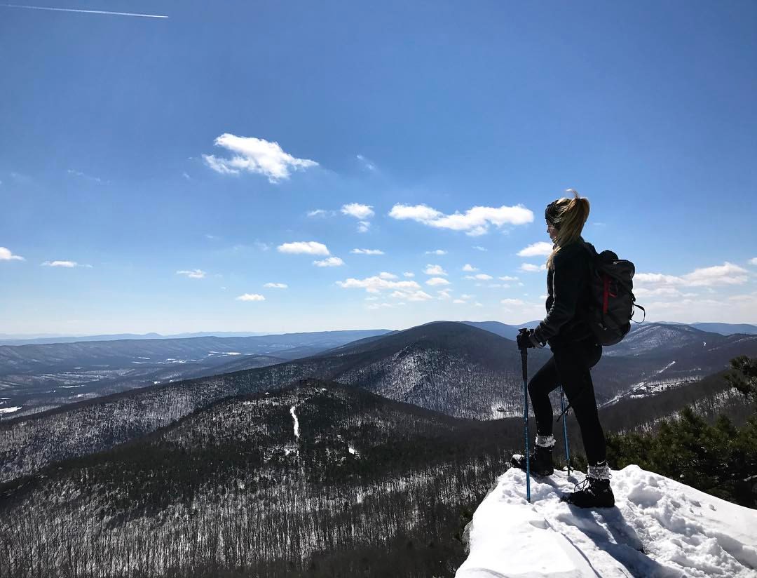
Spring Mtn from Buzzard Rock
The Heater House
Good morning from Strasburg, Virginia! We drove 8 hours yesterday from Massachusetts, and have about 6 hours ahead of us before a arriving in Gatlinburg, Tennessee. If you thought this was a pretty view just wait... The Great Smoky Mountains will be breat

Mystic Pines Log Home NT2_001_2726
Mystic Pines Perspective

Enter Warren County, leave Shenandoah County

Hotel Strasburg - Then and Now

View from Boonesboro Washington Monument

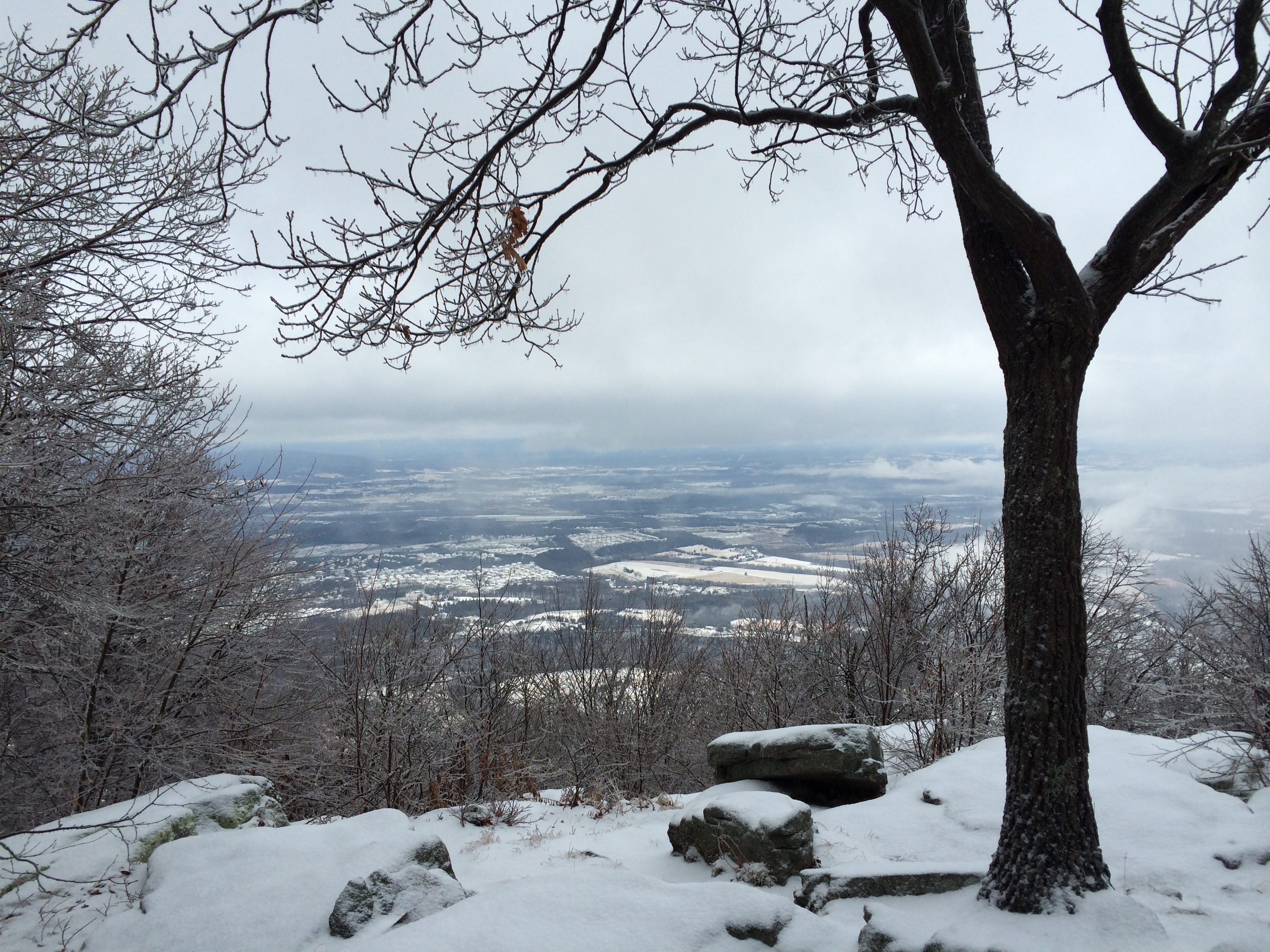
View from Black Rock

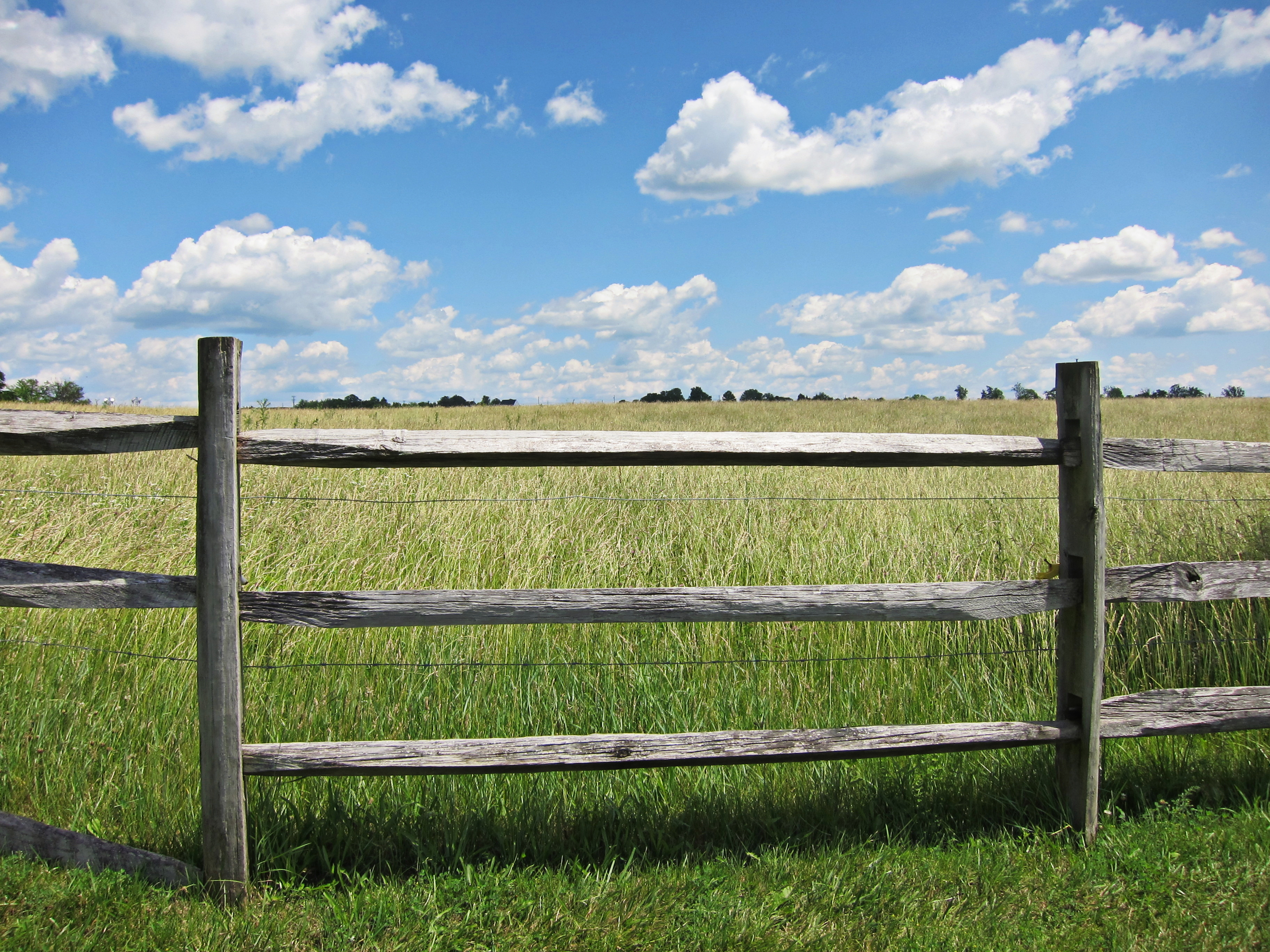
Mountain View
Passage Creek Cross Stream
Signal Knob - photo by Sarah Smith
Woodstock_Va_towerview.jpg
shadows from up above

Sunrise at White Rock Cliff
Heater House and Heater Fields
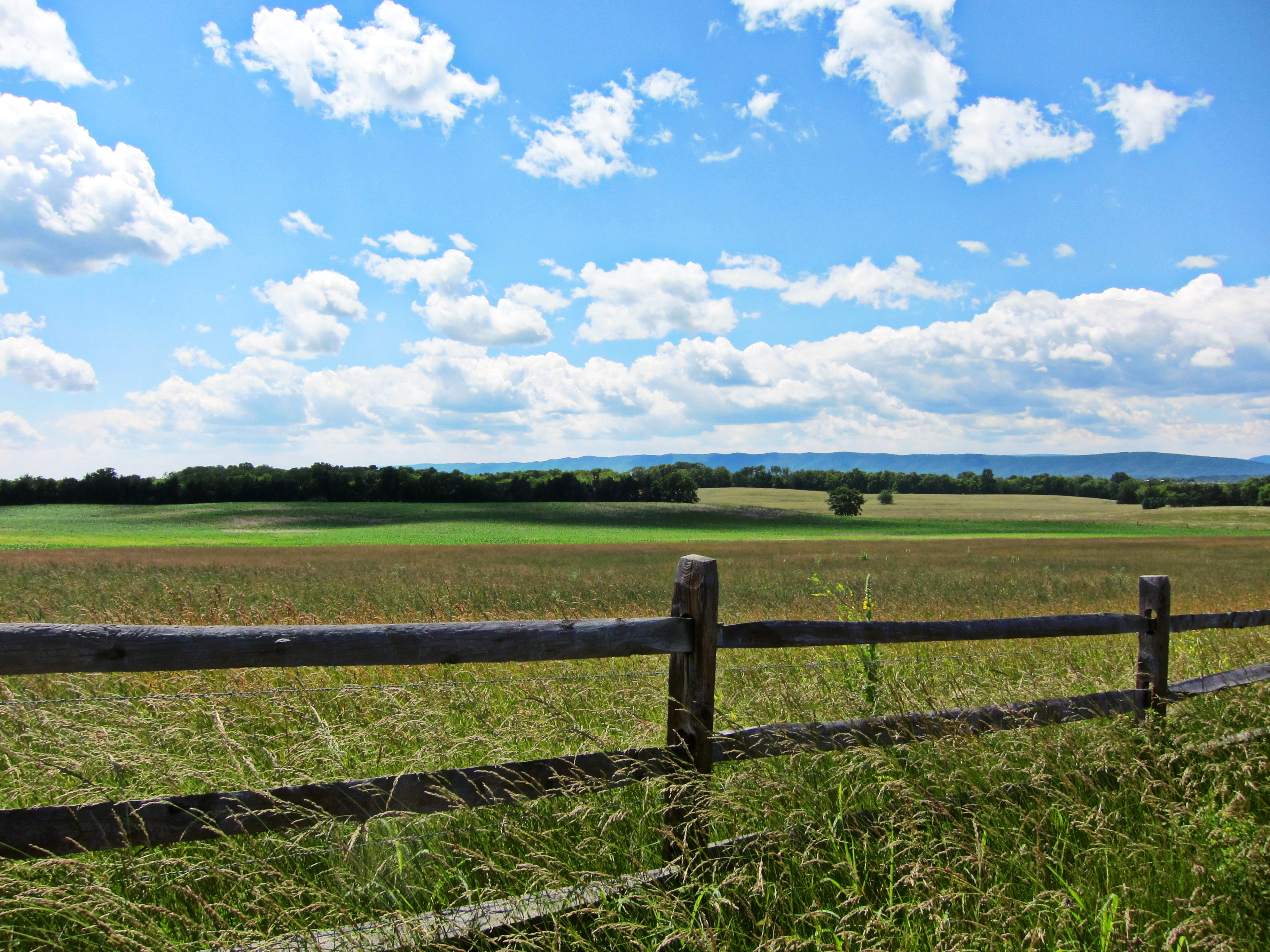
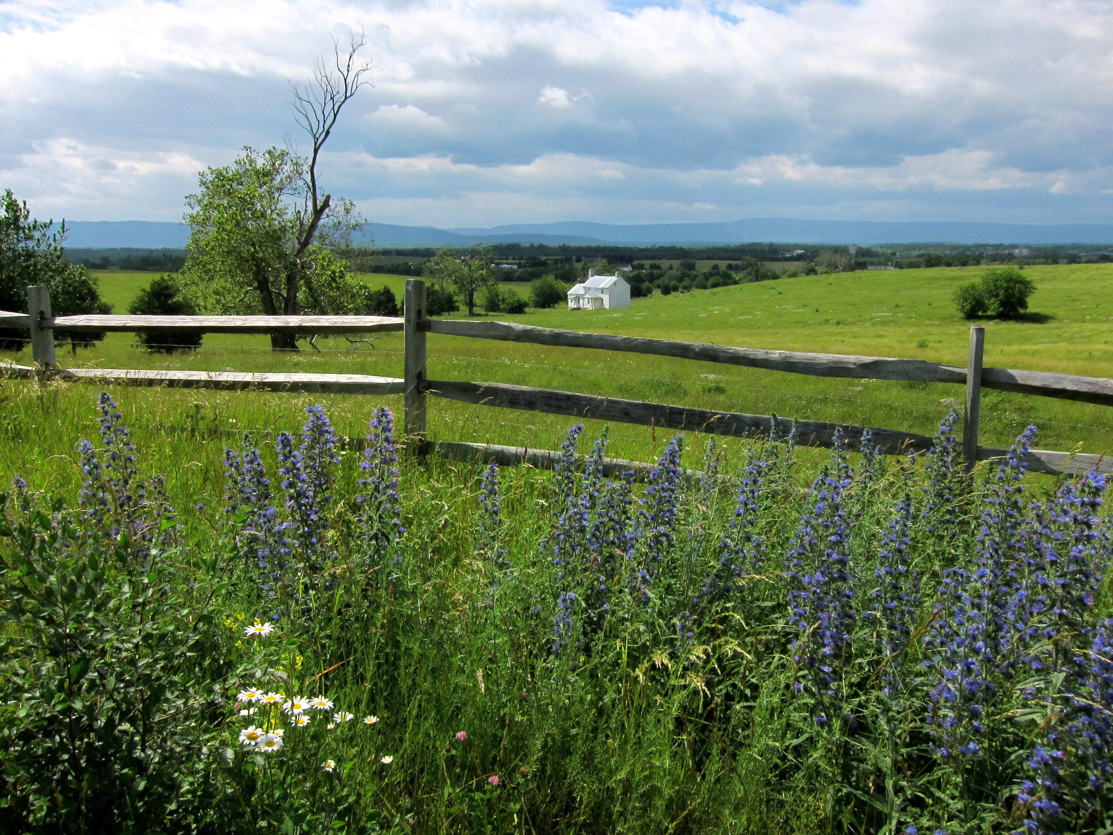
fenced in
Shrouded By The Brush
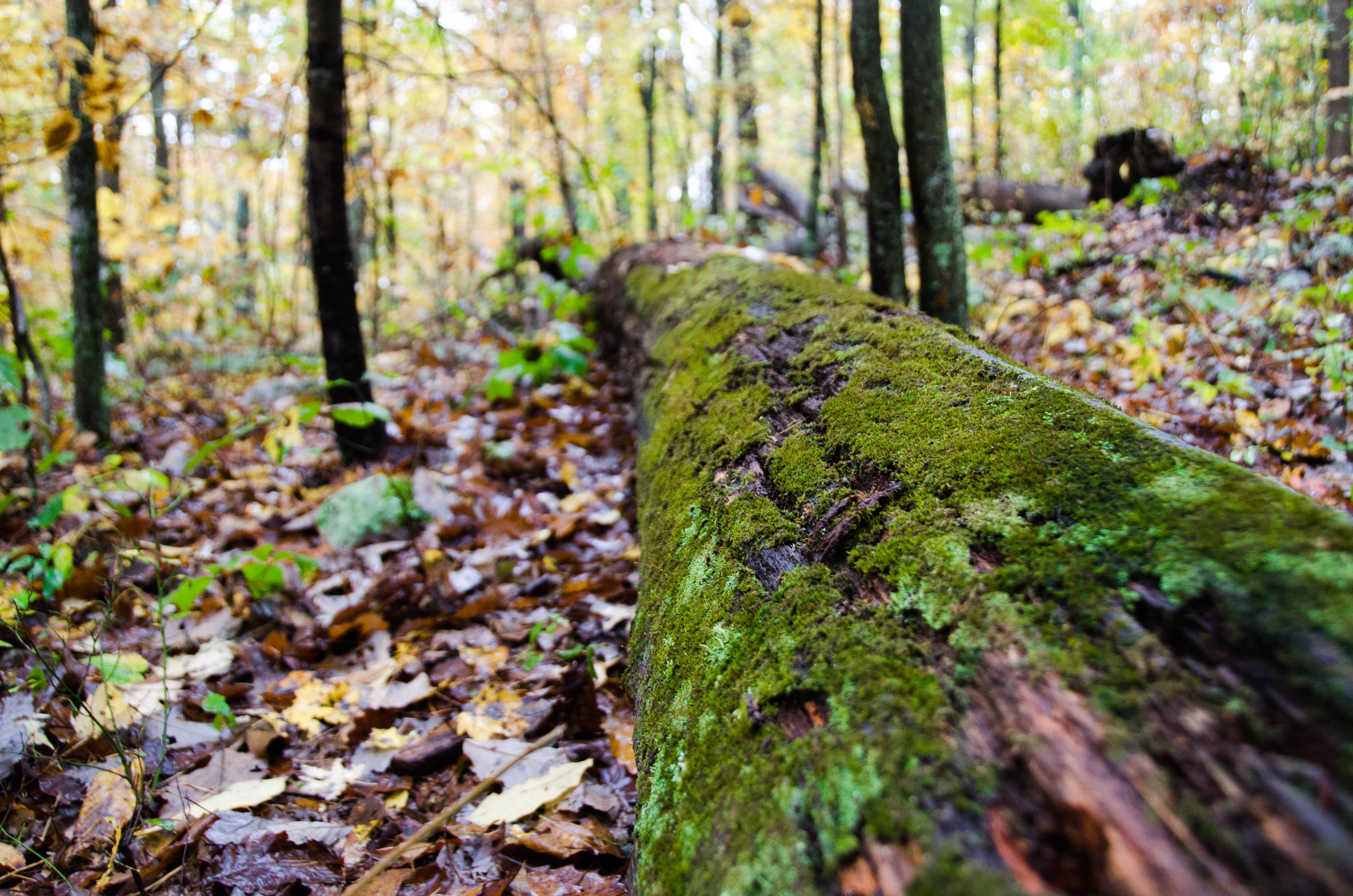
Mossy tree
Because there is no need for any more people here, anyhow #nofilter
Taking a ride before the game today

Hupp's Hill Civil War Park Trail

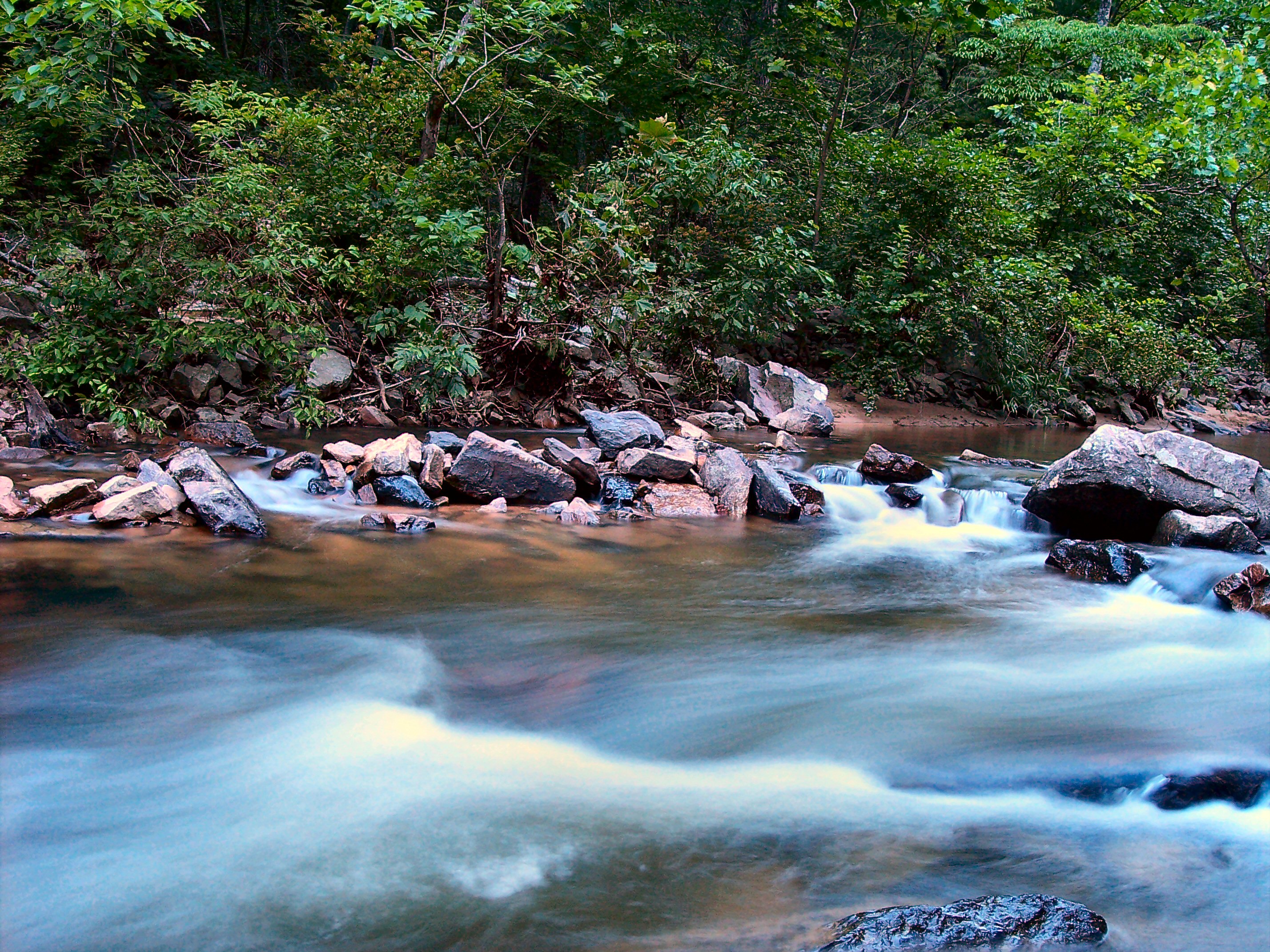
Passage Creek at Seven Bends State Park

Belle Grove Road

Barn 18
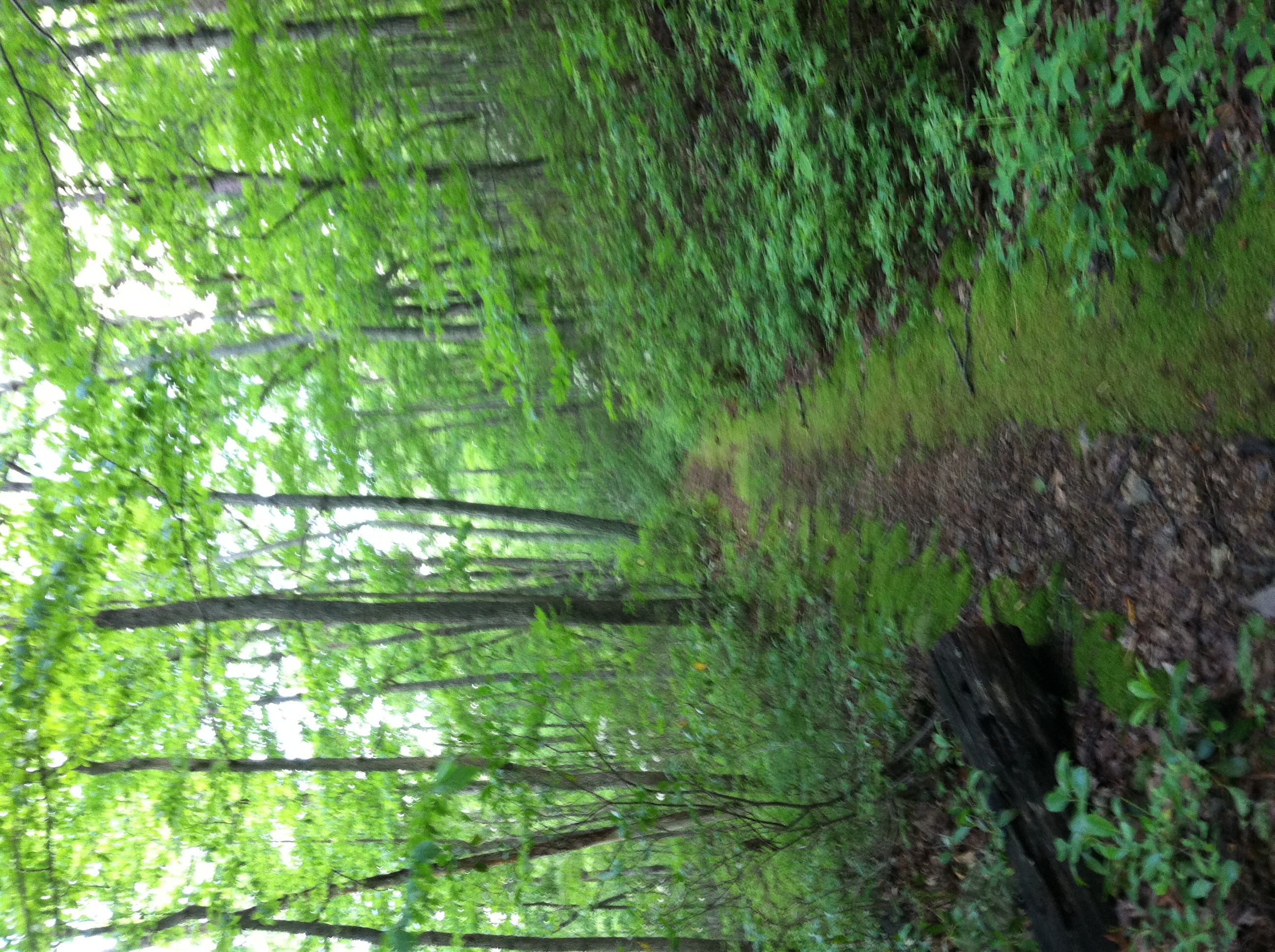
follow the path

Pond at Belle Grove

Passage Creek 1

The First Bridge

Miniature waterfalls at Seven Bends
the sky above Belle Grove

Passage Creek at Seven Bends State Park

Ants eating aphids at Seven Bends
Topographic Map of Mount Olive Road, Mt Olive Rd, Toms Brook, VA, USA
Find elevation by address:

Places near Mount Olive Road, Mt Olive Rd, Toms Brook, VA, USA:
800 Country Brook Rd
27036 Old Valley Pike
Toms Brook
1040 Pontzer Rd
1254 Copp Rd
949 Hahns Ln
Maurertown
444 Mountain Rd
2764 Riverview Dr
5, VA, USA
588 Turtle Hill Ln
Zepp
86 Indian Spring Trail
3933 Zepp Rd
Woodstock, VA, USA
Woodstock
225 S Water St
Hunter Road
581 Hunter Rd
Seven Fountains
Recent Searches:
- Elevation of Tenjo, Cundinamarca, Colombia
- Elevation of Côte-des-Neiges, Montreal, QC H4A 3J6, Canada
- Elevation of Bobcat Dr, Helena, MT, USA
- Elevation of Zu den Ihlowbergen, Althüttendorf, Germany
- Elevation of Badaber, Peshawar, Khyber Pakhtunkhwa, Pakistan
- Elevation of SE Heron Loop, Lincoln City, OR, USA
- Elevation of Slanický ostrov, 01 Námestovo, Slovakia
- Elevation of Spaceport America, Co Rd A, Truth or Consequences, NM, USA
- Elevation of Warwick, RI, USA
- Elevation of Fern Rd, Whitmore, CA, USA