Elevation of Mount Longfellow, Canterbury, New Zealand
Location: New Zealand > Canterbury > Hurunui District > Island Hills >
Longitude: 172.291666
Latitude: -42.692499
Elevation: 1730m / 5676feet
Barometric Pressure: 82KPa
Elevation Map:
Satellite Map:
Related Photos:
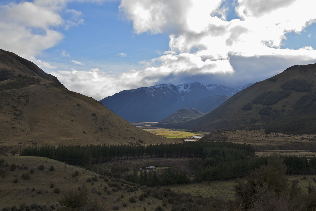
views from the Lake Sumner Road, Canterbury New Zealand
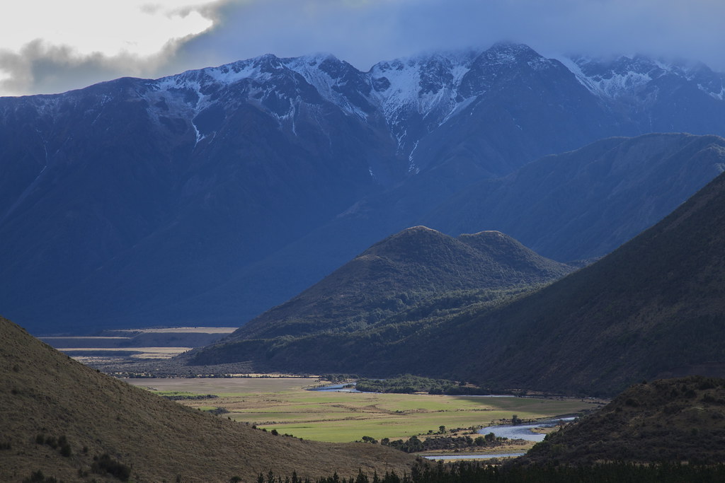
views from the Lake Sumner Road, Canterbury New Zealand

Lake Sumner and the Glenn Wye Range
Topographic Map of Mount Longfellow, Canterbury, New Zealand
Find elevation by address:

Places near Mount Longfellow, Canterbury, New Zealand:
Lake Taylor
Poplars Range
Mons Sex Millia
Island Hills
Mount Turnbull
Gray Hill
Hurunui District
Lees Valley
Mouse Point Road
Mount Culverden
Ivess Peak
364 Loburn Kowai Rd
Mount Binser
Waimakariri River
Hanmer Springs
75 Loburn Terrace Rd
46 Jollies Pass Rd
175 German Rd
Starvation Hill
50 Horns Road
Recent Searches:
- Elevation of Corso Fratelli Cairoli, 35, Macerata MC, Italy
- Elevation of Tallevast Rd, Sarasota, FL, USA
- Elevation of 4th St E, Sonoma, CA, USA
- Elevation of Black Hollow Rd, Pennsdale, PA, USA
- Elevation of Oakland Ave, Williamsport, PA, USA
- Elevation of Pedrógão Grande, Portugal
- Elevation of Klee Dr, Martinsburg, WV, USA
- Elevation of Via Roma, Pieranica CR, Italy
- Elevation of Tavkvetili Mountain, Georgia
- Elevation of Hartfords Bluff Cir, Mt Pleasant, SC, USA