Elevation map of Hurunui District, Canterbury, New Zealand
Location: New Zealand > Canterbury >
Longitude: 172.734714
Latitude: -42.789172
Elevation: 242m / 794feet
Barometric Pressure: 98KPa
Elevation Map:
Satellite Map:
Related Photos:
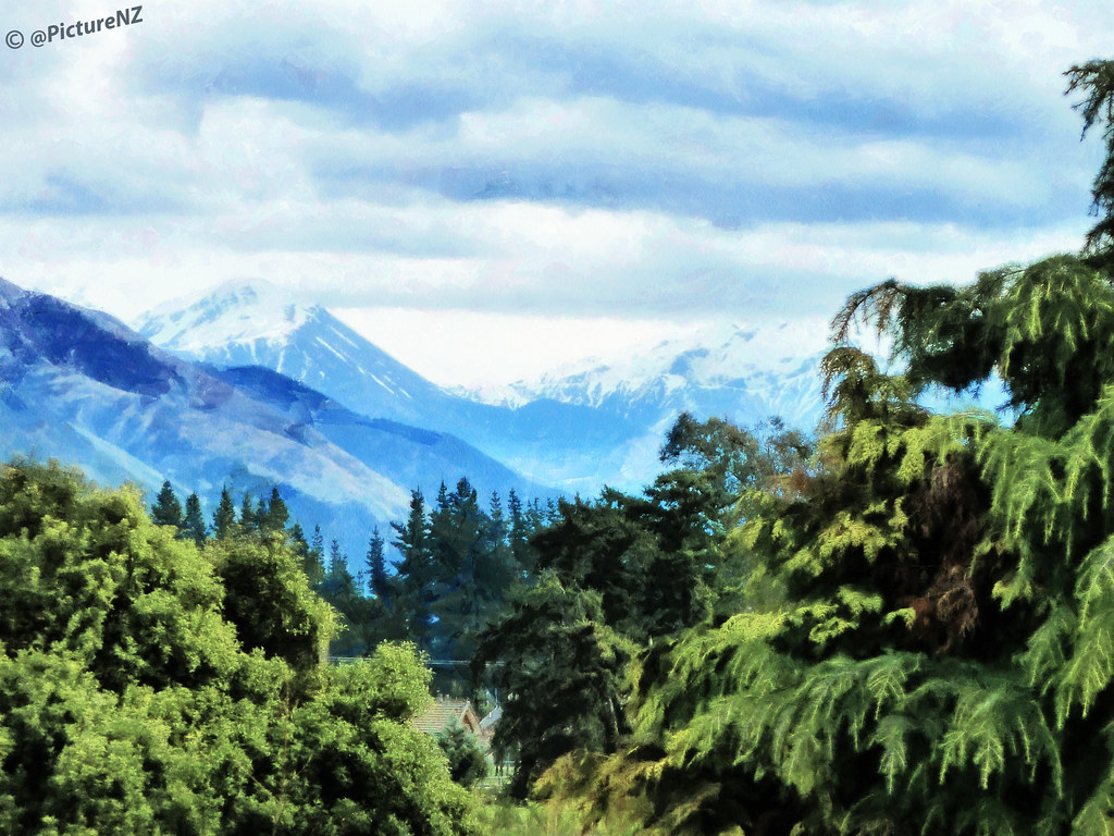
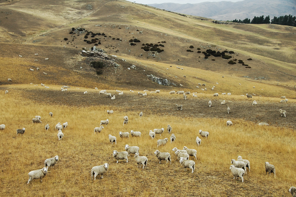
Mountain Views
JJS_0026 1
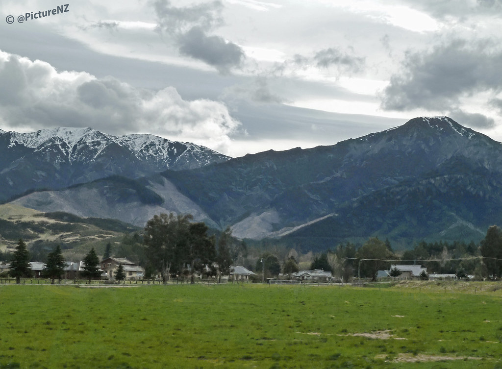
Small Town Mountains
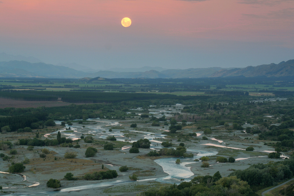
moonrise over the hurunui
DSC_4402_New Zealand while Driving
DSC_4417_New Zealand while Driving
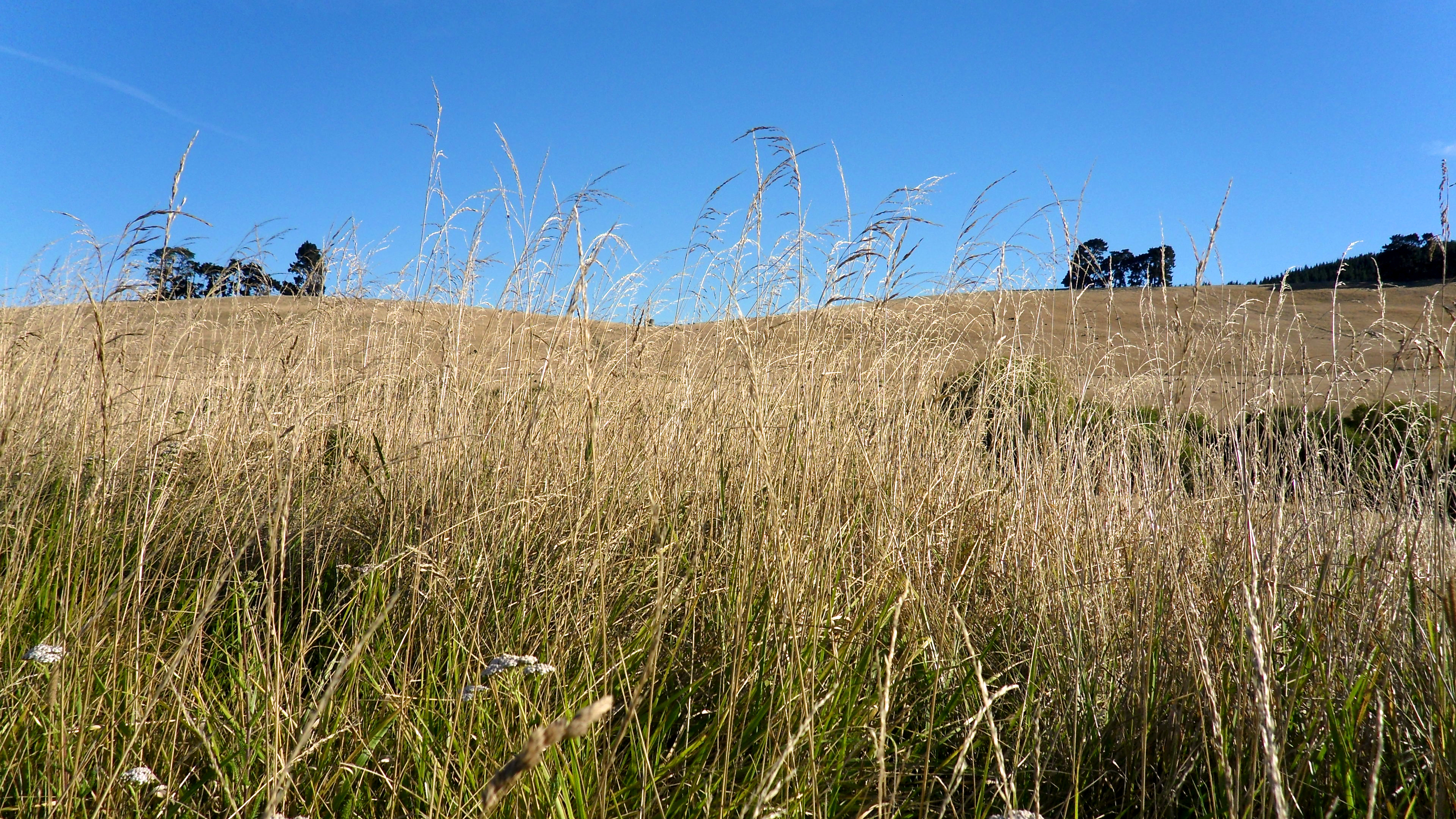
Hurunui foothills
Canterbury mountains
Hurunui River pano
Canterbury mountains

Canterbury (Neuseeland)

196.
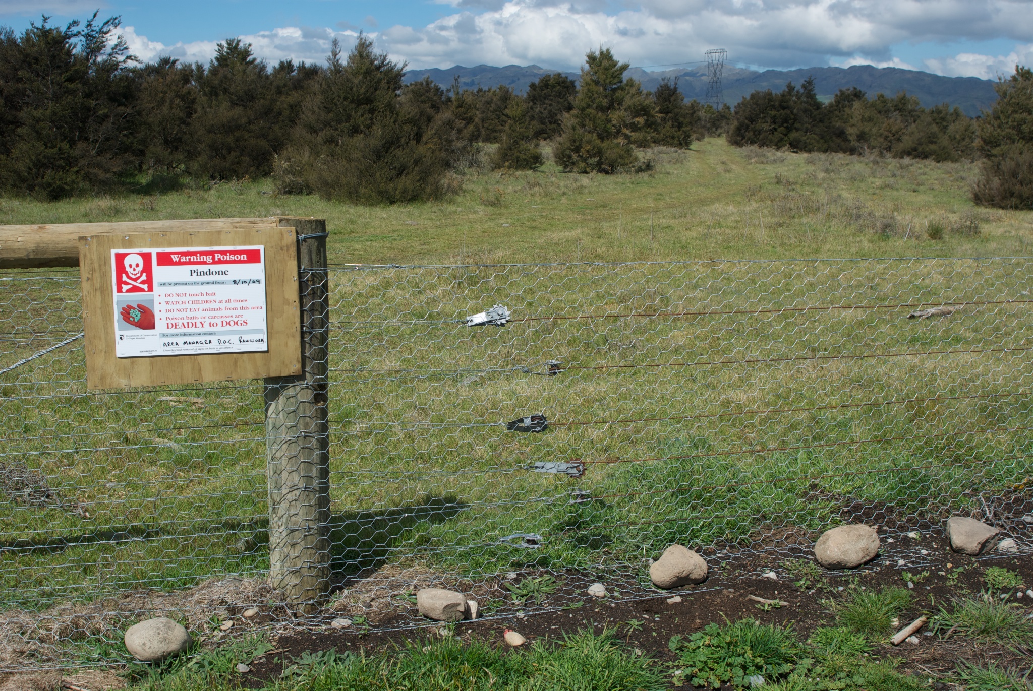
The northwestern corner of Medbury Scientific Reserve

The Pack.
NZ Bike Tour Day 11-12 Kaikoura to Culverden.jpg
Road 7, Canterbury, New Zealand.
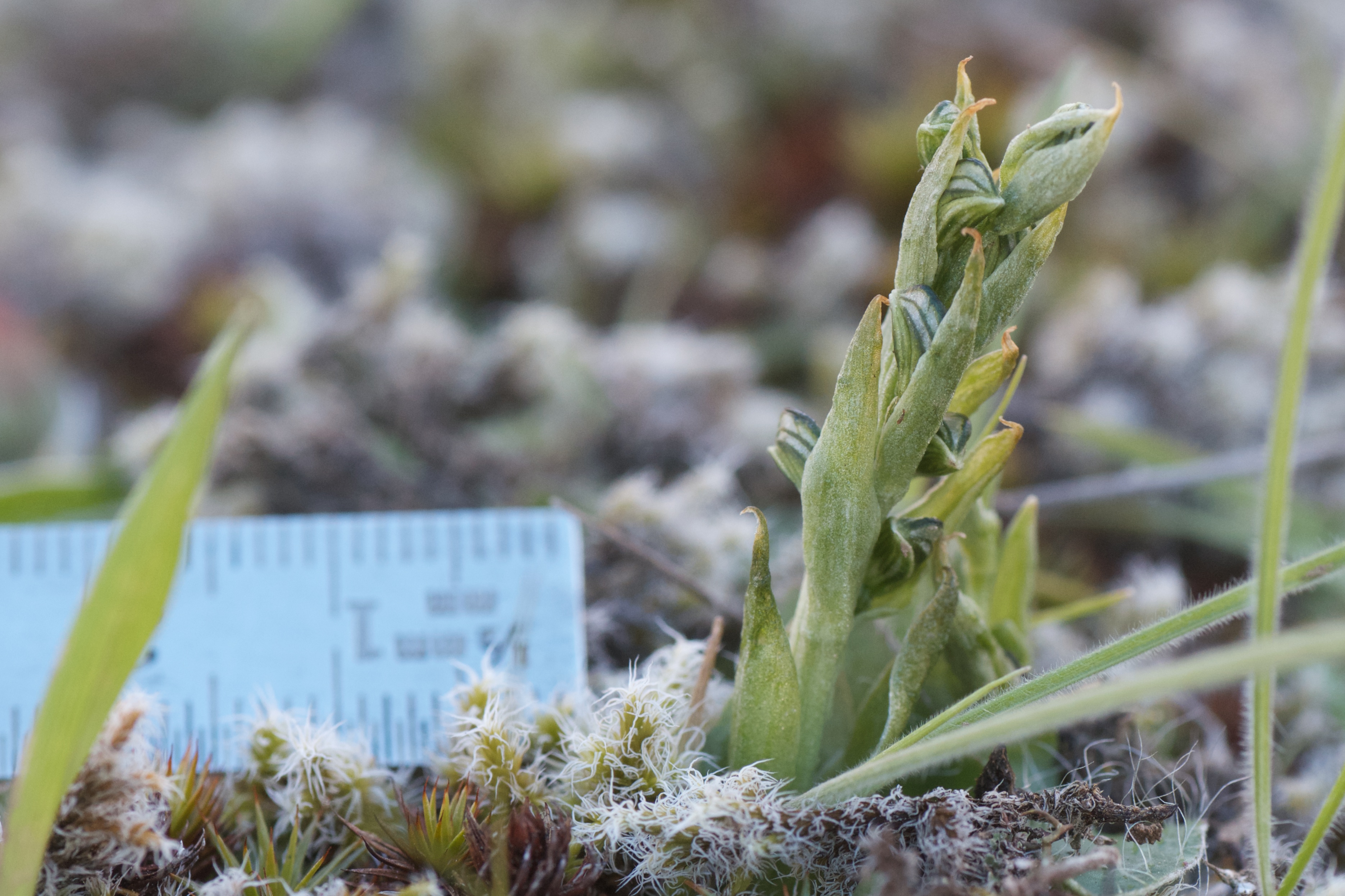
native orchid
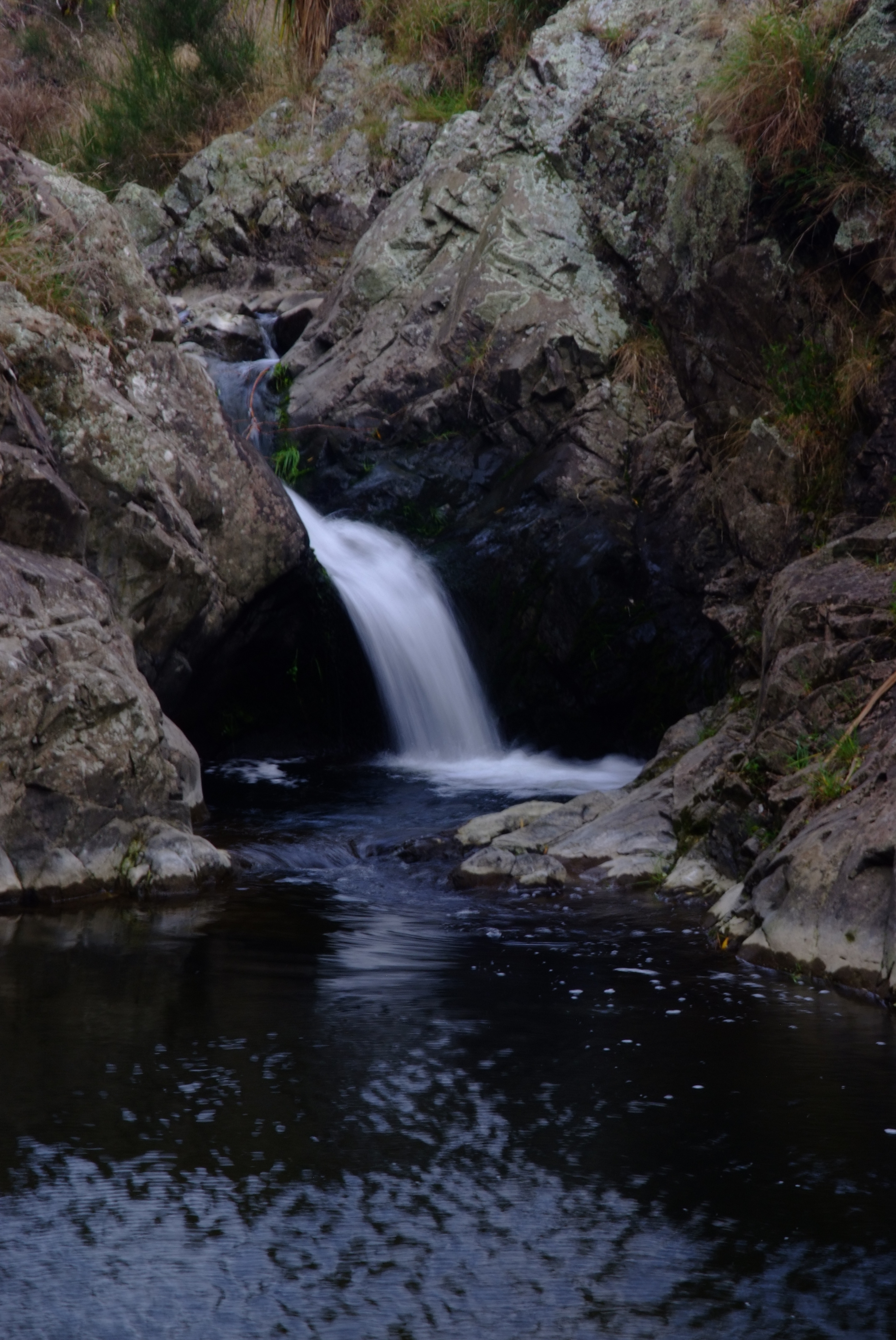
Browns Stream
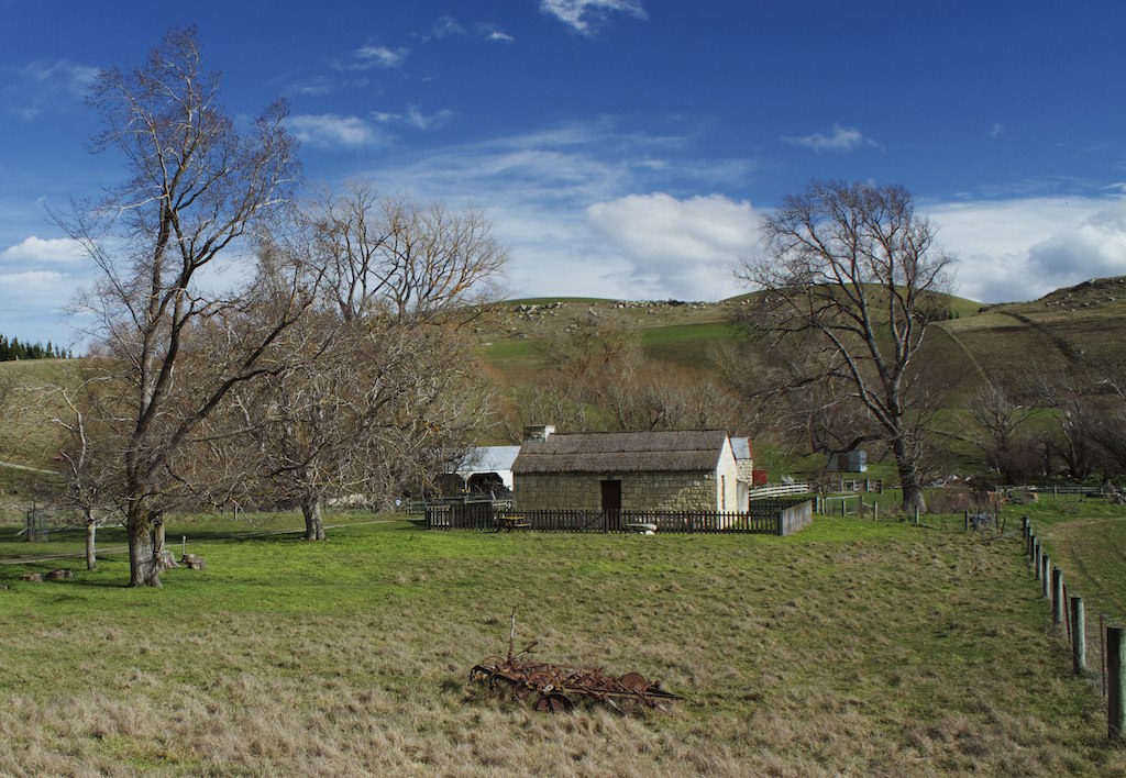
Restored farm buildings Black Hills, Hurunui.
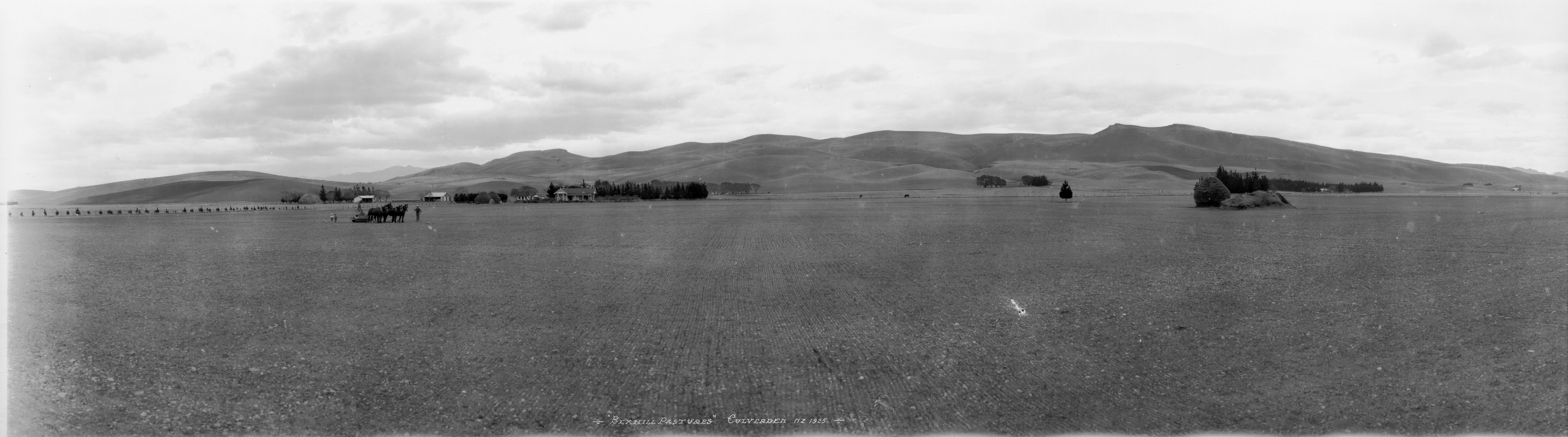
Bexhill Pastures, Culverden, 1925
NZ Bike Tour Day 12-02 Culverden to Christchurch.jpg
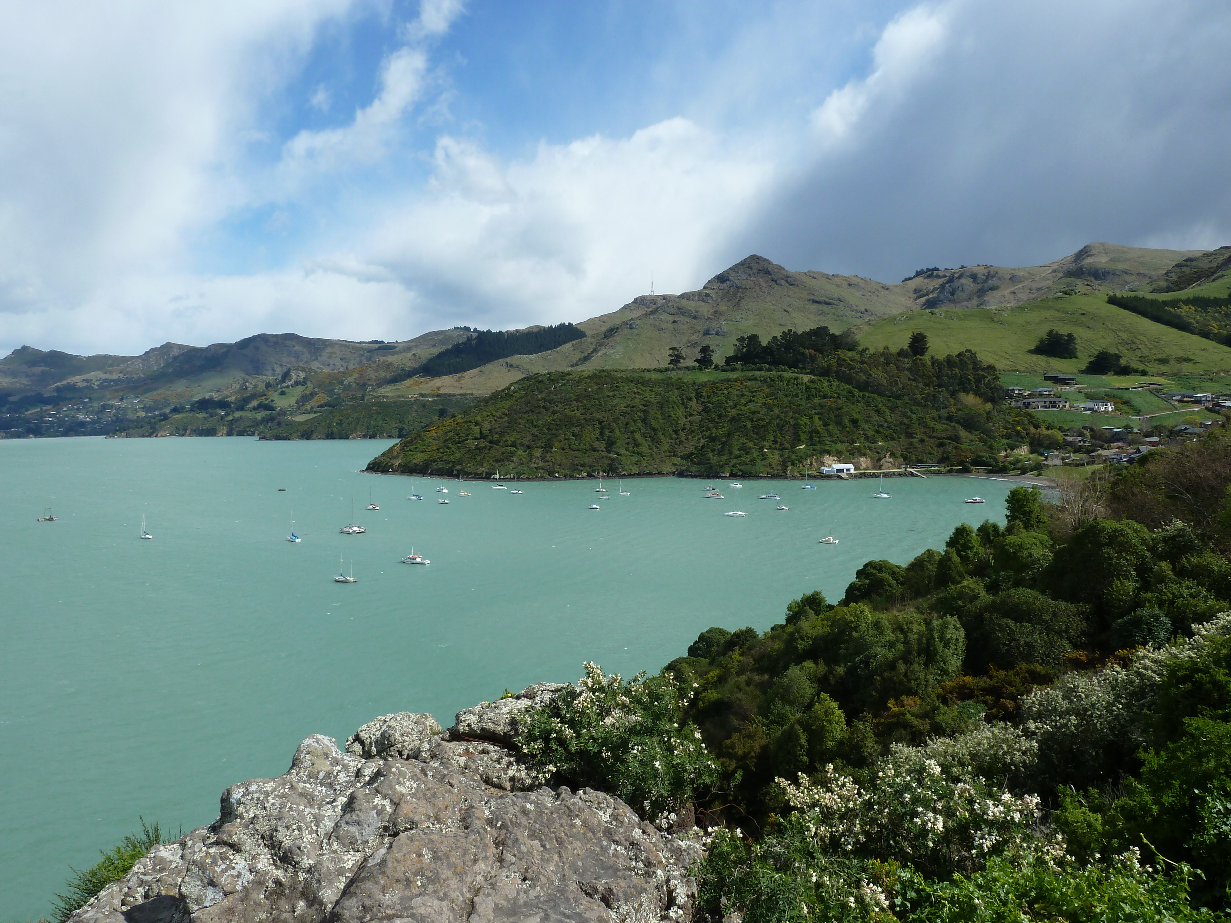
Lyttleton 2
Topographic Map of Hurunui District, Canterbury, New Zealand
Find elevation by address:

Places in Hurunui District, Canterbury, New Zealand:
Places near Hurunui District, Canterbury, New Zealand:
Mount Culverden
Mouse Point Road
Amuri Plain
637 Saint Leonards Road
Hanmer Springs
46 Jollies Pass Rd
Island Hills
Mons Sex Millia
Poplars Range
364 Loburn Kowai Rd
Mount Longfellow
Sefton
378 Marshmans Rd
75 Loburn Terrace Rd
Loburn
Lake Taylor
40 Loburn Whiterock Rd
Rangiora
141 Townsend Road
141 Townsend Road
Recent Searches:
- Elevation of Corso Fratelli Cairoli, 35, Macerata MC, Italy
- Elevation of Tallevast Rd, Sarasota, FL, USA
- Elevation of 4th St E, Sonoma, CA, USA
- Elevation of Black Hollow Rd, Pennsdale, PA, USA
- Elevation of Oakland Ave, Williamsport, PA, USA
- Elevation of Pedrógão Grande, Portugal
- Elevation of Klee Dr, Martinsburg, WV, USA
- Elevation of Via Roma, Pieranica CR, Italy
- Elevation of Tavkvetili Mountain, Georgia
- Elevation of Hartfords Bluff Cir, Mt Pleasant, SC, USA