Elevation of Mount Forest Township, Mt Forest Township, MI, USA
Location: United States > Michigan > Bay County >
Longitude: -84.122403
Latitude: 43.8499727
Elevation: 206m / 676feet
Barometric Pressure: 99KPa
Elevation Map:
Satellite Map:
Related Photos:

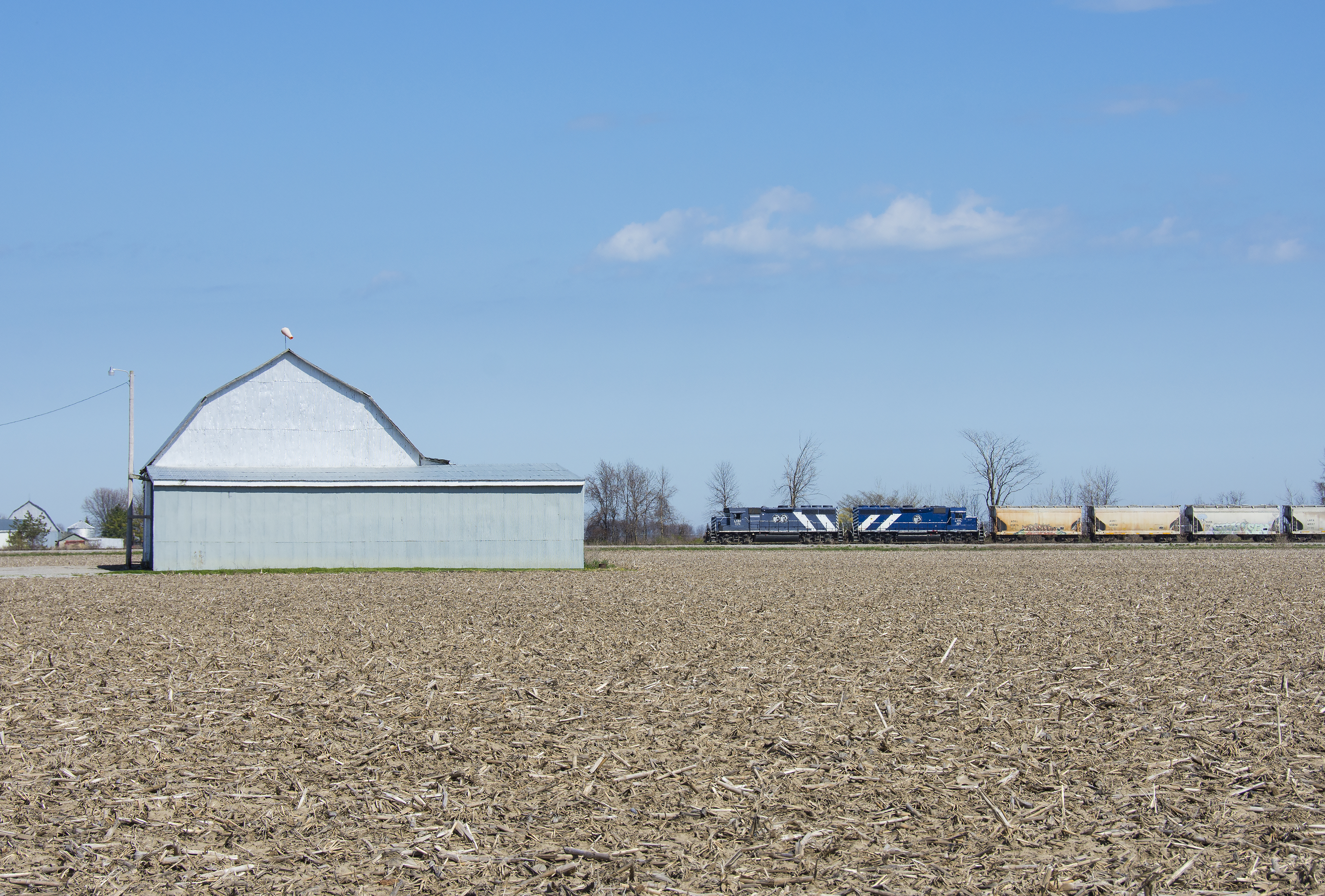
Corn & Clouds / Riffle River bound. ✋ #puremichigan #travelstache
Northbound at Linwood
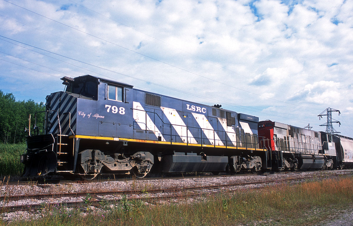
LSRC 798 at Pinconning, MI

Active Quest Cross Country Skiing Trip - 188 - 02

Kicking up dust

More clouds

Low clouds on the horizon

Airplane sunset

Maiden Voyage
Topographic Map of Mount Forest Township, Mt Forest Township, MI, USA
Find elevation by address:

Places in Mount Forest Township, Mt Forest Township, MI, USA:
Places near Mount Forest Township, Mt Forest Township, MI, USA:
W Cody Estey Rd, Pinconning, MI, USA
Garfield Township
School Rd, Rhodes, MI, USA
Crump
5090 N Waldo Rd
1750 W Parish Rd
Mills Township
W Parish Rd, Auburn, MI, USA
1100 9 Mile Rd
3310 E Sherry Ln
Beaver Township
Pinconning Township
Bay County
3975 E Tupelo Dr
4577 E Monroe Rd
3899 E Tupelo Dr
Larkin Charter Township
2948 N Juniper Dr
2825 N Cedaridge Dr
2819 N Tupelo Dr
Recent Searches:
- Elevation of Elwyn Dr, Roanoke Rapids, NC, USA
- Elevation of Congressional Dr, Stevensville, MD, USA
- Elevation of Bellview Rd, McLean, VA, USA
- Elevation of Stage Island Rd, Chatham, MA, USA
- Elevation of Shibuya Scramble Crossing, 21 Udagawacho, Shibuya City, Tokyo -, Japan
- Elevation of Jadagoniai, Kaunas District Municipality, Lithuania
- Elevation of Pagonija rock, Kranto 7-oji g. 8"N, Kaunas, Lithuania
- Elevation of Co Rd 87, Jamestown, CO, USA
- Elevation of Tenjo, Cundinamarca, Colombia
- Elevation of Côte-des-Neiges, Montreal, QC H4A 3J6, Canada