Elevation of Mills Township, MI, USA
Location: United States > Michigan > Midland County >
Longitude: -84.248952
Latitude: 43.7801591
Elevation: 225m / 738feet
Barometric Pressure: 99KPa
Elevation Map:
Satellite Map:
Related Photos:

176 15-August-2012

Front view of a Van's Aircraft RV-3

Side view of a Van's Aircraft RV-3

Tail view of Aeronca 7AC with view of other aircraft in background.
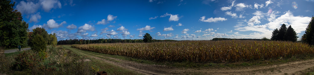
Corn Field Pano
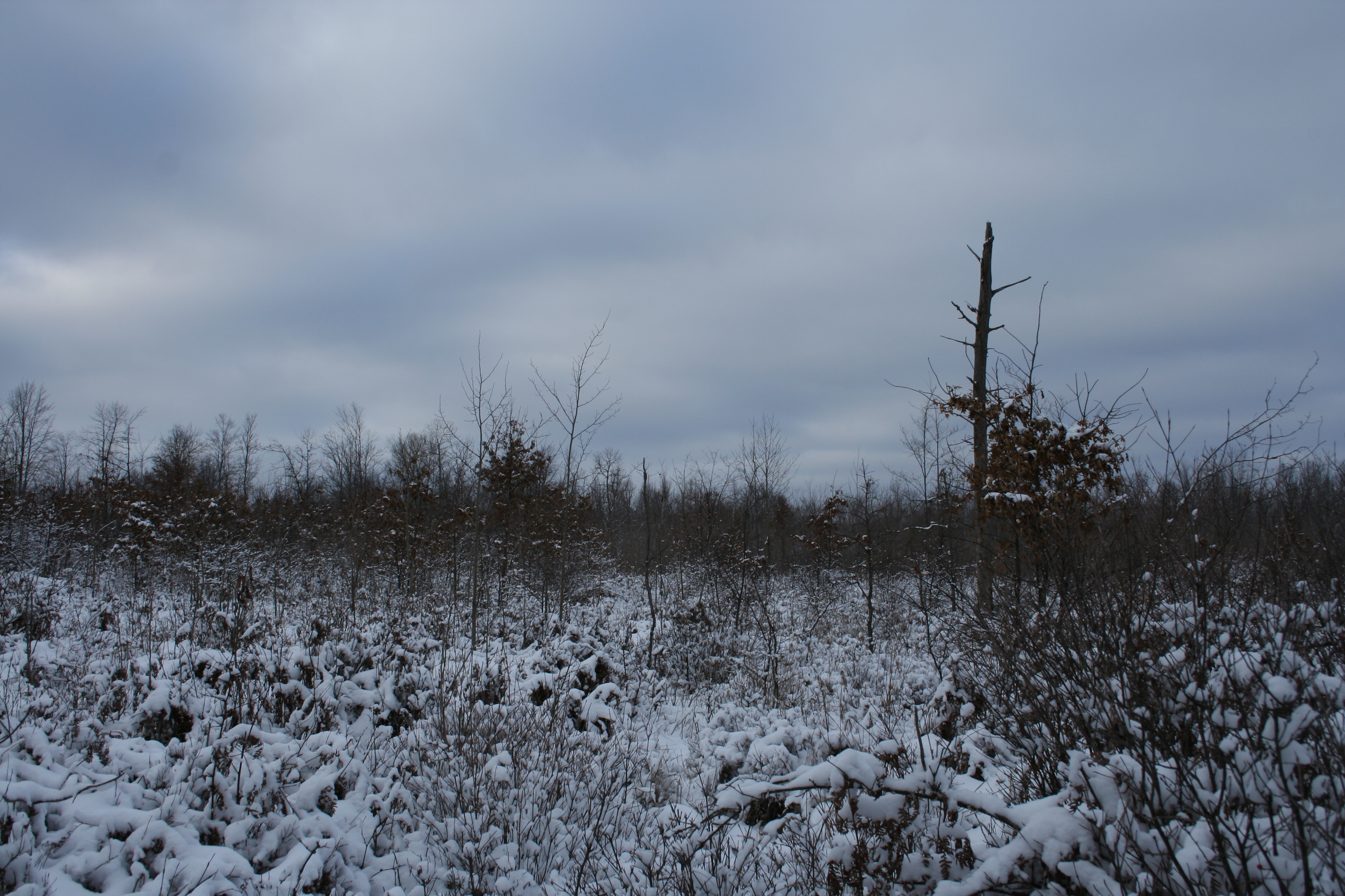
Snow Range
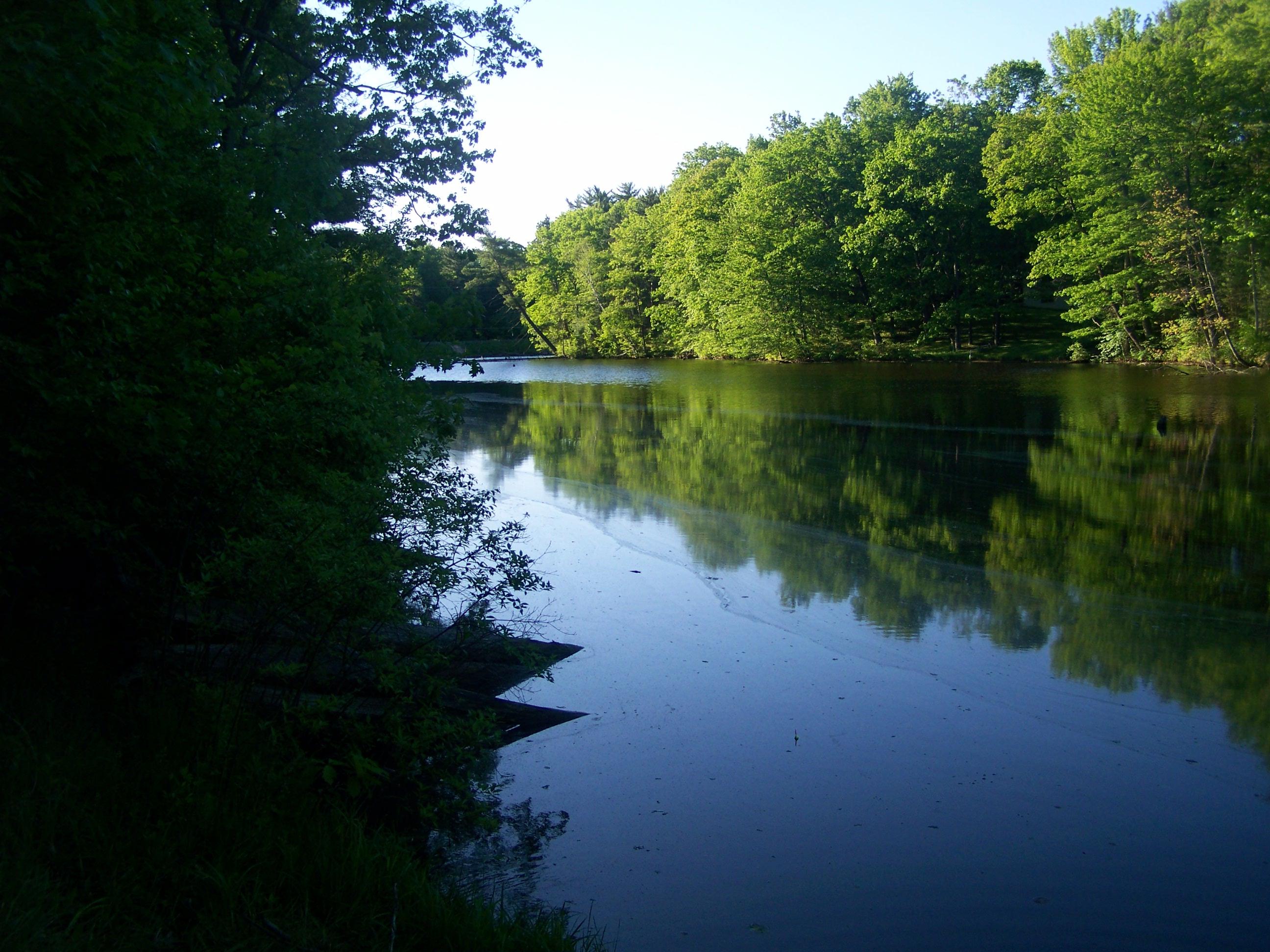
Black Creek- Au Sable State Forest- Midland County MI (2)

Fleabane wildflower
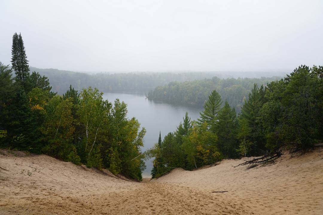
Overlook the mist-ery from above #puremichigan #ausable #river #mist #layers #michiganawesome #oscoda #autumn #fall #trees #green #ausableriver #landscape #beautiful #michigan #mi #explore #dune #sand #puremichiganscenicroute

Sanford Beach Midland

Walk in the Woods 2
Topographic Map of Mills Township, MI, USA
Find elevation by address:

Places near Mills Township, MI, USA:
3310 E Sherry Ln
Larkin Charter Township
N Eastman Rd, Midland, MI, USA
North Eastman Road
North Dublin Road
5090 N Waldo Rd
1093 E Curtis Rd
Hope Township
3333 E Shady Ridge Ln
3073 Maple Hill Ct
2948 N Juniper Dr
Hope
3899 E Tupelo Dr
2819 N Tupelo Dr
3975 E Tupelo Dr
2825 N Cedaridge Dr
2384 Cardinal Dr
2384 Cardinal Dr
2600 Baywood Ct
School Rd, Rhodes, MI, USA
Recent Searches:
- Elevation of Congressional Dr, Stevensville, MD, USA
- Elevation of Bellview Rd, McLean, VA, USA
- Elevation of Stage Island Rd, Chatham, MA, USA
- Elevation of Shibuya Scramble Crossing, 21 Udagawacho, Shibuya City, Tokyo -, Japan
- Elevation of Jadagoniai, Kaunas District Municipality, Lithuania
- Elevation of Pagonija rock, Kranto 7-oji g. 8"N, Kaunas, Lithuania
- Elevation of Co Rd 87, Jamestown, CO, USA
- Elevation of Tenjo, Cundinamarca, Colombia
- Elevation of Côte-des-Neiges, Montreal, QC H4A 3J6, Canada
- Elevation of Bobcat Dr, Helena, MT, USA