Elevation of Mount Erebus, Improvement District No. 12, AB T0E, Canada
Location: Canada > Alberta > Division No. 15 > Jasper >
Longitude: -118.26666
Latitude: 52.6322222
Elevation: 3061m / 10043feet
Barometric Pressure: 70KPa
Elevation Map:
Satellite Map:
Related Photos:
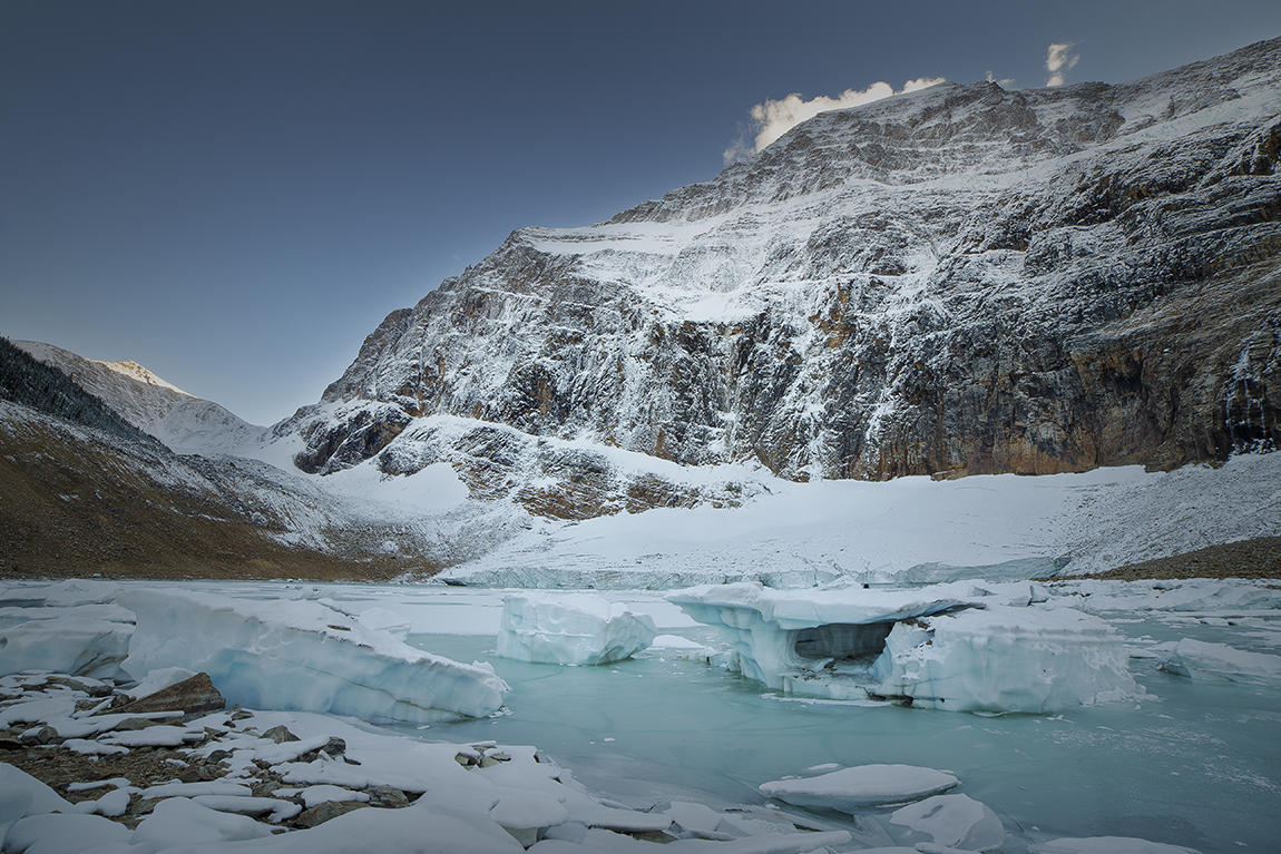
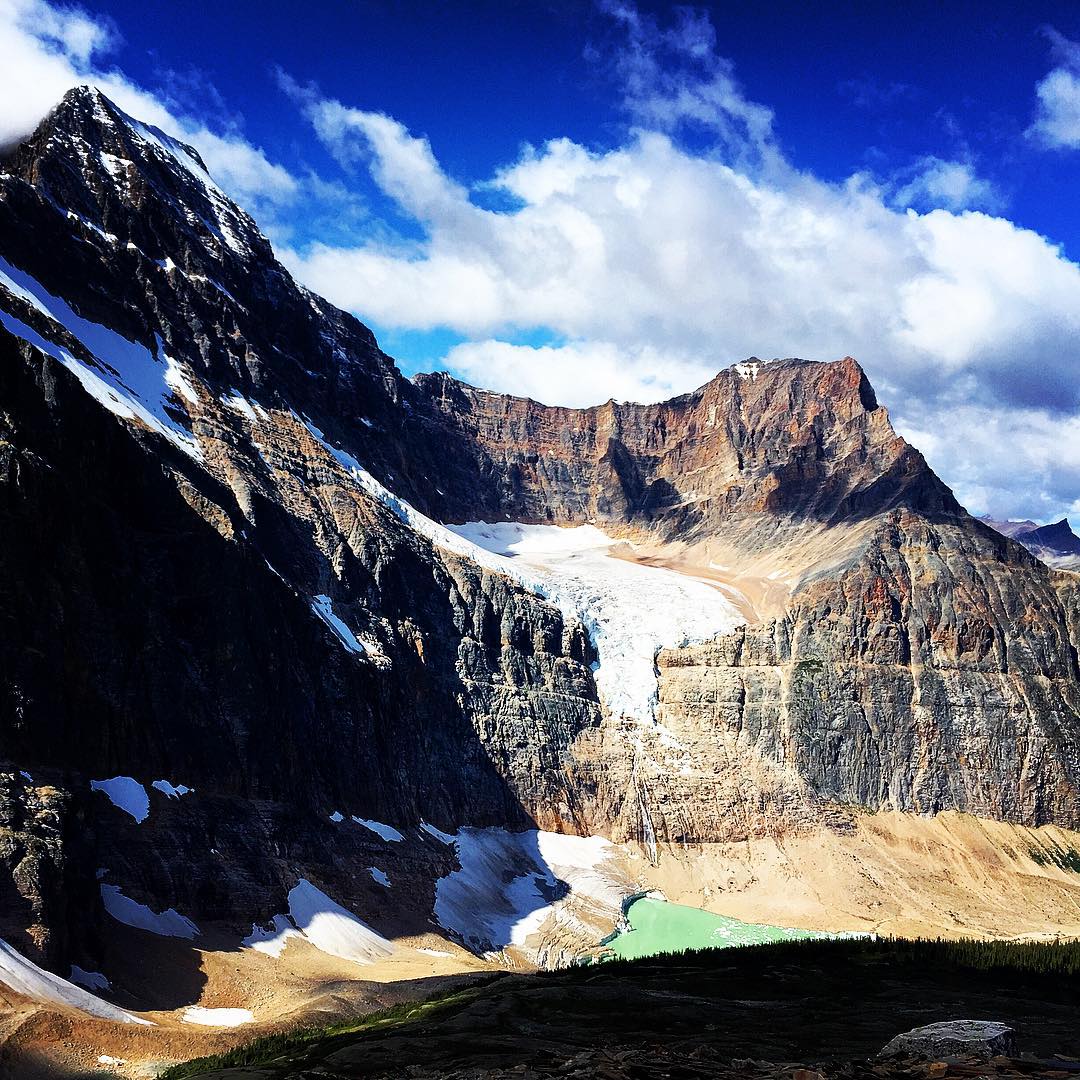
Mt. Edith Cavell
Cavell Glacier

Edith Cavell Flow
angel glacier
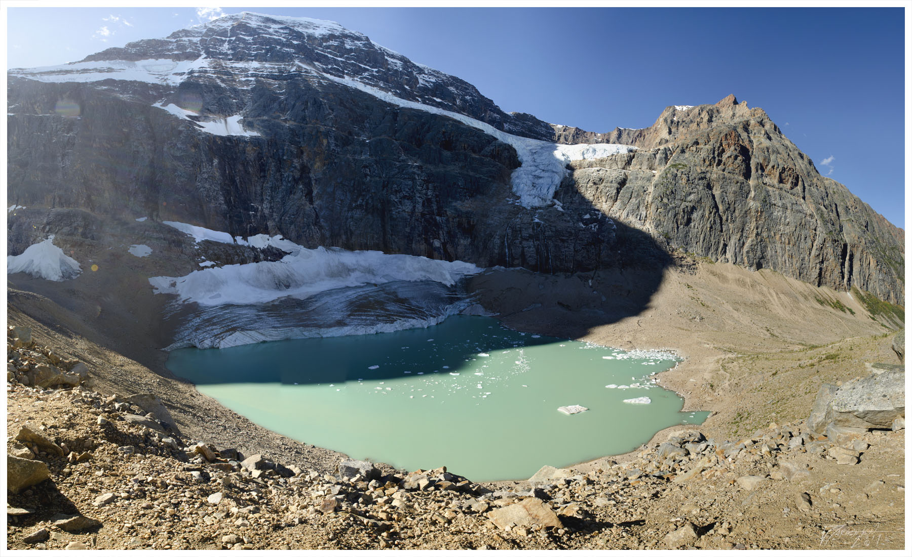
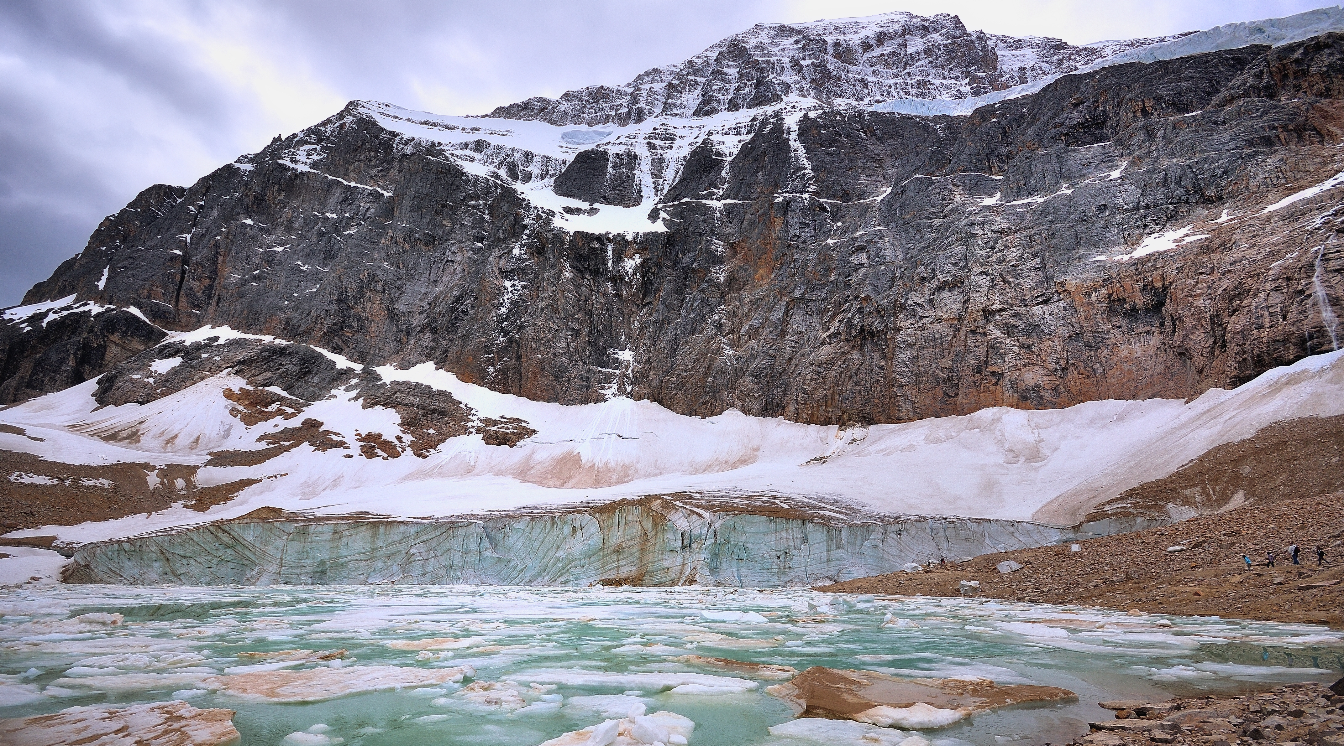
Mount Edith Cavell Panorama
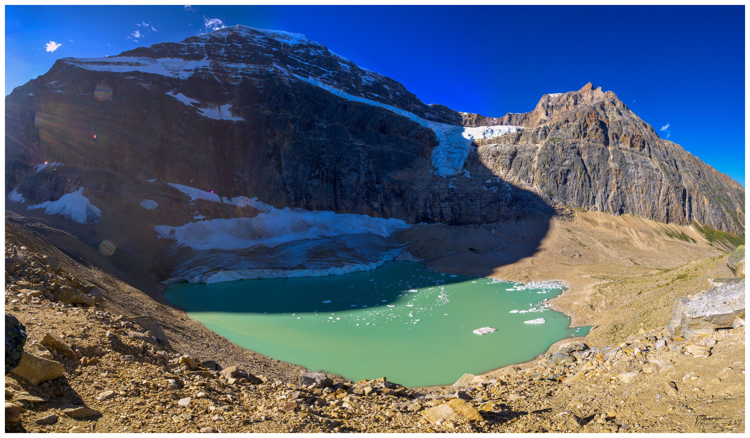
Mount Edith Cavell Panorama
The view was much better for our hike at Mount Edith Cavell.
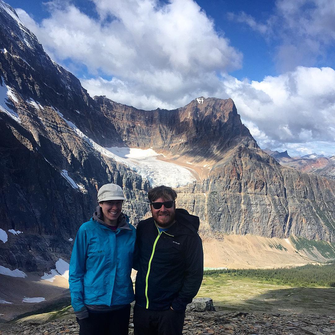
Carmen and I hiking the Mount Edith Cavell Meadows in Jasper National Park. We hiked the Sulphur Skyline the day before and the rain and fog completely obscured the view at the top. At least today we got some stellar views.
Mt. Edith Cavell
Wider View

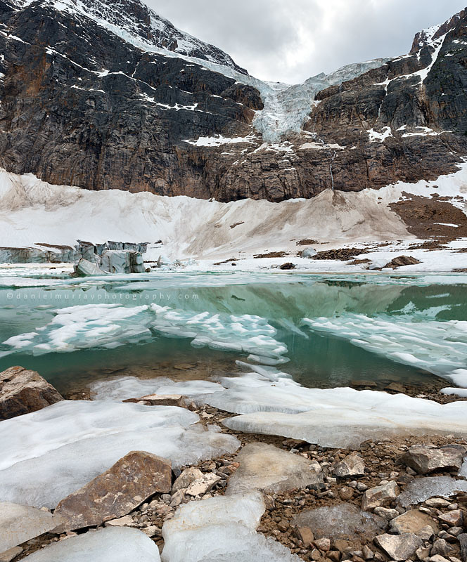
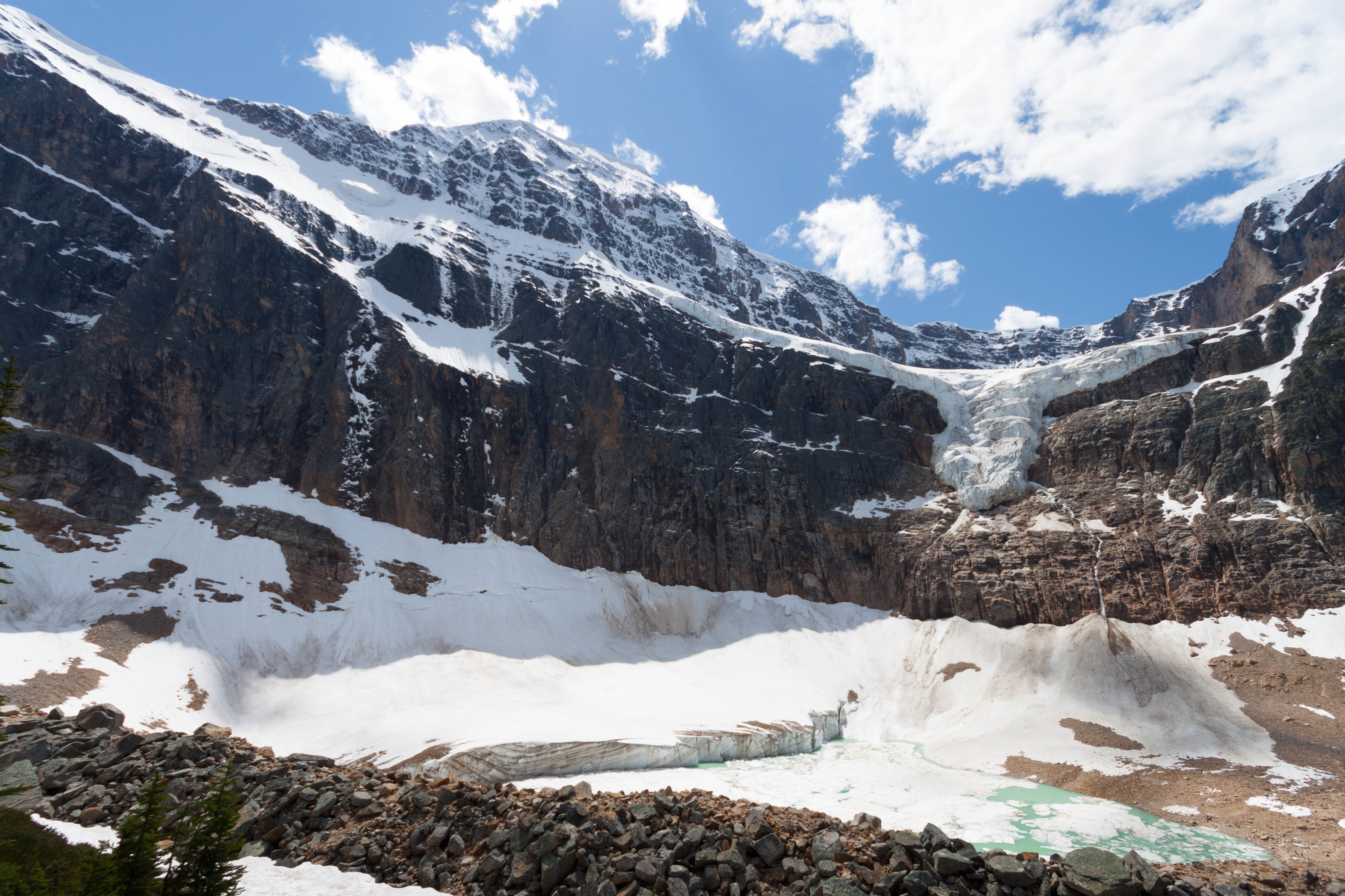
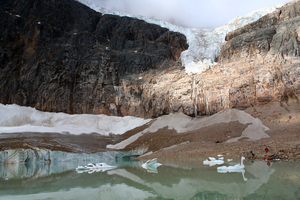
A Misty View of the Glacier
Topographic Map of Mount Erebus, Improvement District No. 12, AB T0E, Canada
Find elevation by address:

Places near Mount Erebus, Improvement District No. 12, AB T0E, Canada:
Beacon Peak
Oldhorn Mountain
Needle Peak
Throne Mountain
Majestic Mountain
Mount Geikie
Mallard Peak
Roche Noire
Mount Carroll
Mount Evans
Kuraluk Peak
Mount Fitzwilliam
Jasper
Dynamo Peak
Mount Mckean
Pyramid Mountain
Karluk Peak
Jeanette Peak
Clerk Peak
Dunkirk Mountain
Recent Searches:
- Elevation of Corso Fratelli Cairoli, 35, Macerata MC, Italy
- Elevation of Tallevast Rd, Sarasota, FL, USA
- Elevation of 4th St E, Sonoma, CA, USA
- Elevation of Black Hollow Rd, Pennsdale, PA, USA
- Elevation of Oakland Ave, Williamsport, PA, USA
- Elevation of Pedrógão Grande, Portugal
- Elevation of Klee Dr, Martinsburg, WV, USA
- Elevation of Via Roma, Pieranica CR, Italy
- Elevation of Tavkvetili Mountain, Georgia
- Elevation of Hartfords Bluff Cir, Mt Pleasant, SC, USA