Elevation of Mount Carroll, Fraser-Fort George H, BC V0E, Canada
Location: Canada > British Columbia > Fraser-fort George > Fraser-fort George H >
Longitude: -118.35305
Latitude: 52.4569444
Elevation: 2793m / 9163feet
Barometric Pressure: 72KPa
Elevation Map:
Satellite Map:
Related Photos:
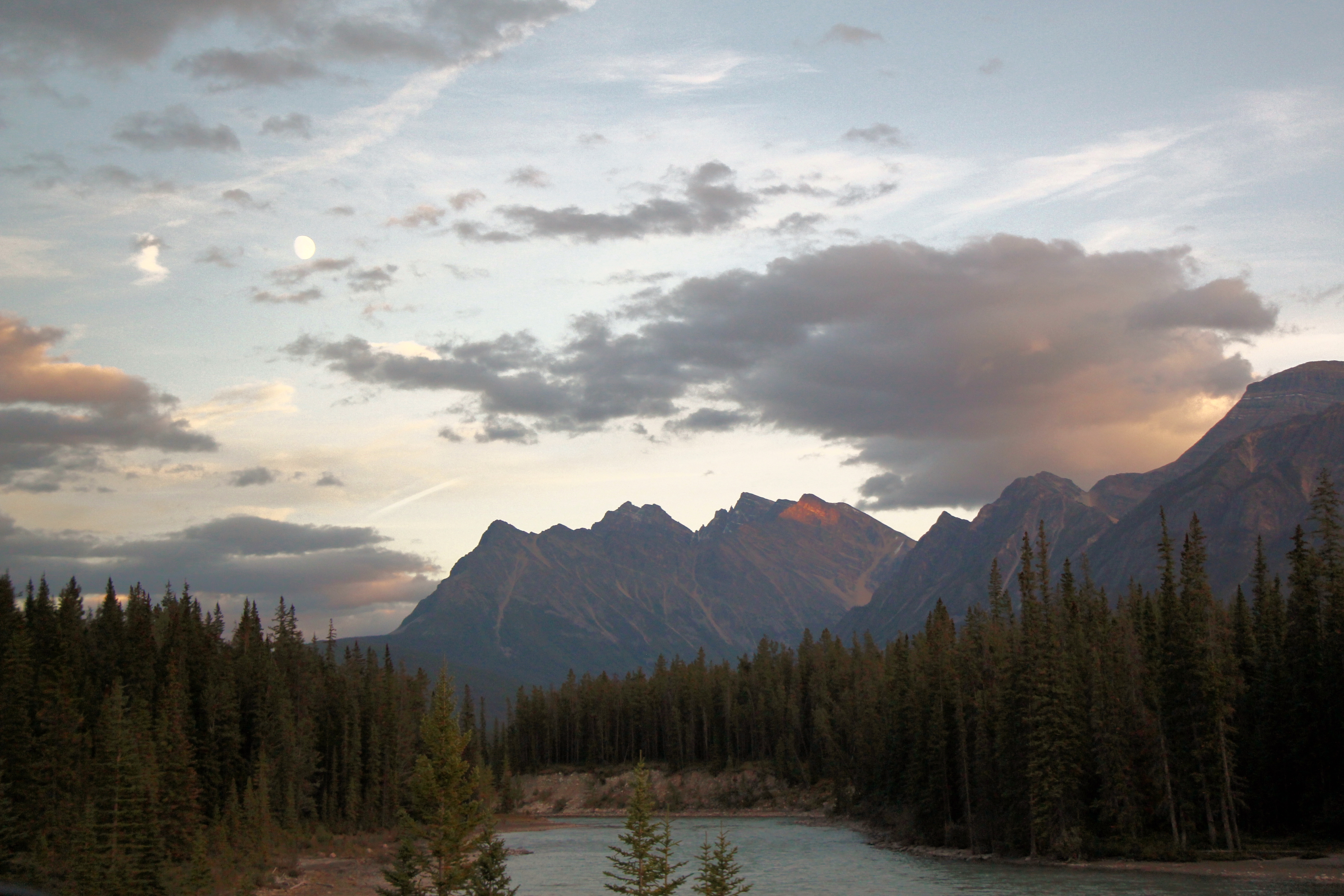
Sunset in Banff
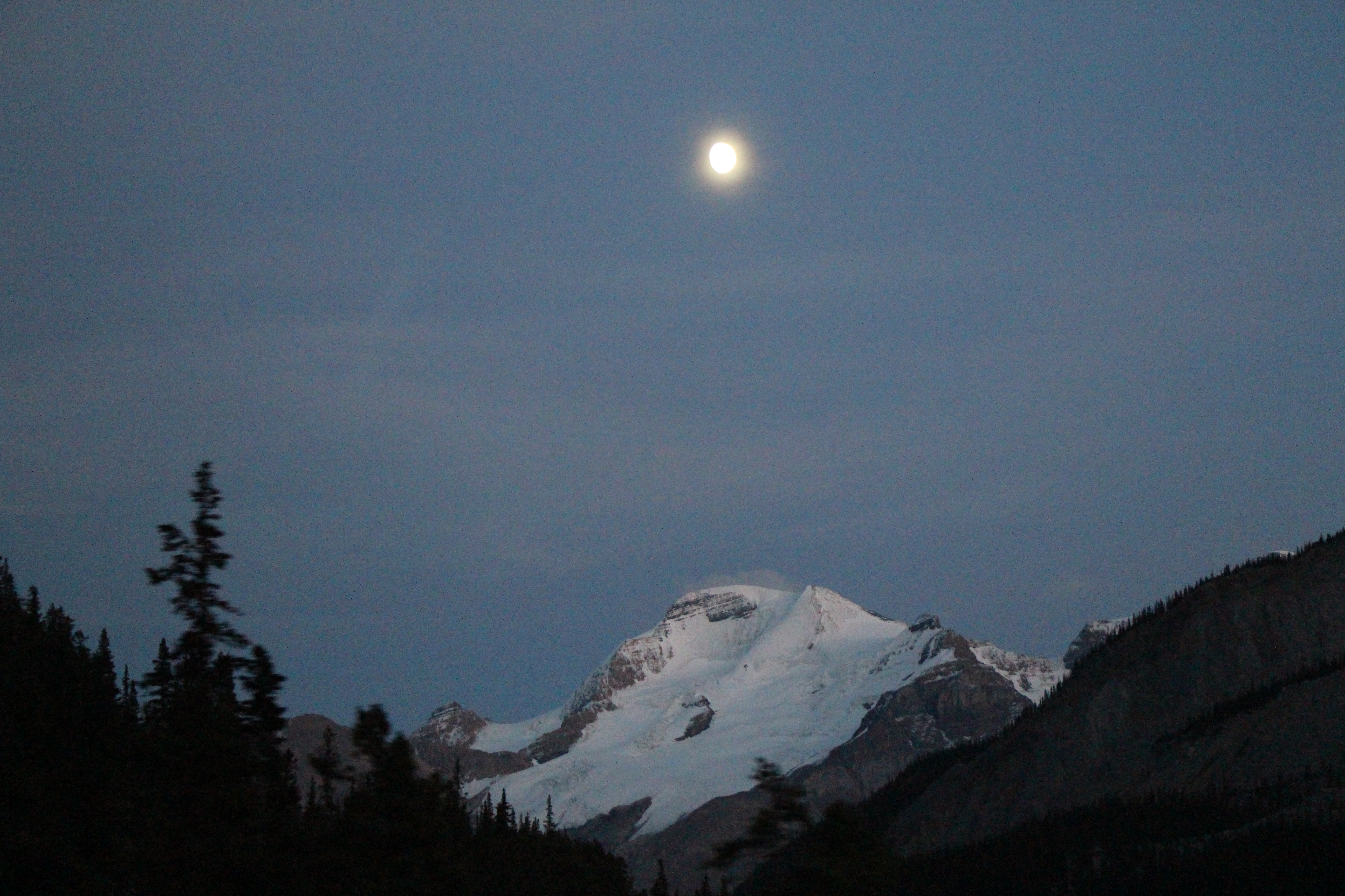
Moon over Glacier in Banff
Topographic Map of Mount Carroll, Fraser-Fort George H, BC V0E, Canada
Find elevation by address:

Places near Mount Carroll, Fraser-Fort George H, BC V0E, Canada:
Mallard Peak
Beacon Peak
Clerk Peak
Karluk Peak
Dynamo Peak
Needle Peak
Mount Erebus
Dunkirk Mountain
Mount Evans
Kuraluk Peak
Mount Dainard
Mount Geikie
Oldhorn Mountain
Throne Mountain
Jeanette Peak
Majestic Mountain
Roche Noire
Mount Cummins
Mount Fitzwilliam
Mica Dam
Recent Searches:
- Elevation of Corso Fratelli Cairoli, 35, Macerata MC, Italy
- Elevation of Tallevast Rd, Sarasota, FL, USA
- Elevation of 4th St E, Sonoma, CA, USA
- Elevation of Black Hollow Rd, Pennsdale, PA, USA
- Elevation of Oakland Ave, Williamsport, PA, USA
- Elevation of Pedrógão Grande, Portugal
- Elevation of Klee Dr, Martinsburg, WV, USA
- Elevation of Via Roma, Pieranica CR, Italy
- Elevation of Tavkvetili Mountain, Georgia
- Elevation of Hartfords Bluff Cir, Mt Pleasant, SC, USA