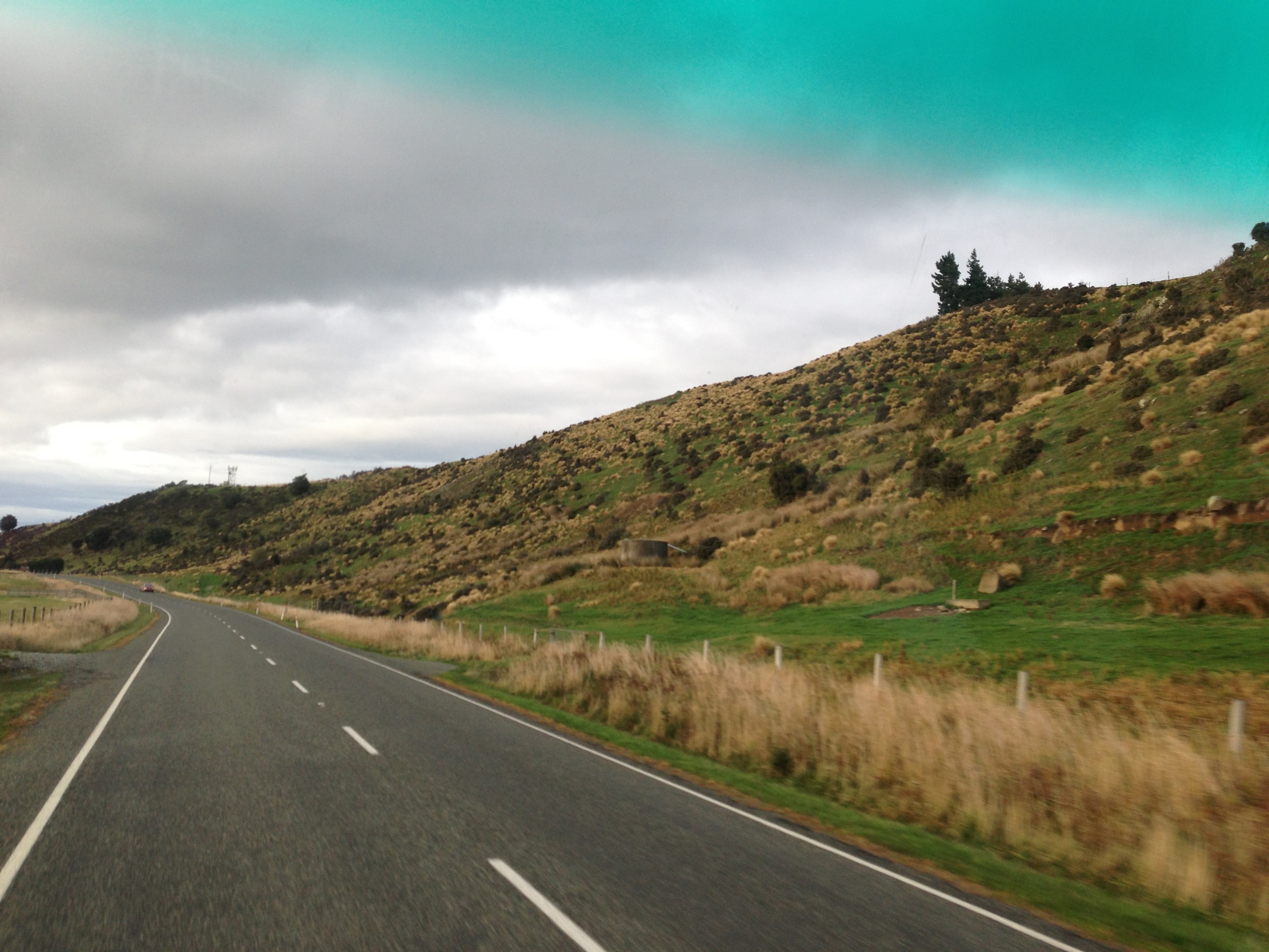
Elevation of Mossburn, New Zealand
Location: New Zealand > Southland > Southland District >
Longitude: 168.238839
Latitude: -45.669657
Elevation: 288m / 945feet
Barometric Pressure: 98KPa
Elevation Map:
Satellite Map:
Related Photos:
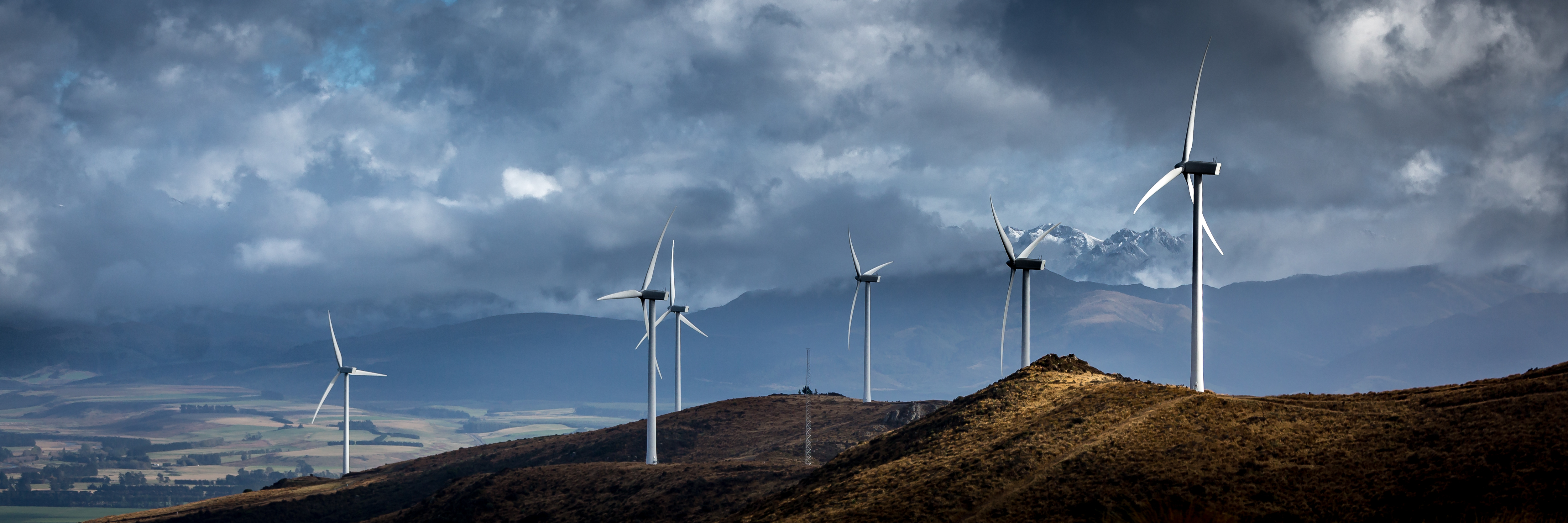
White Hill
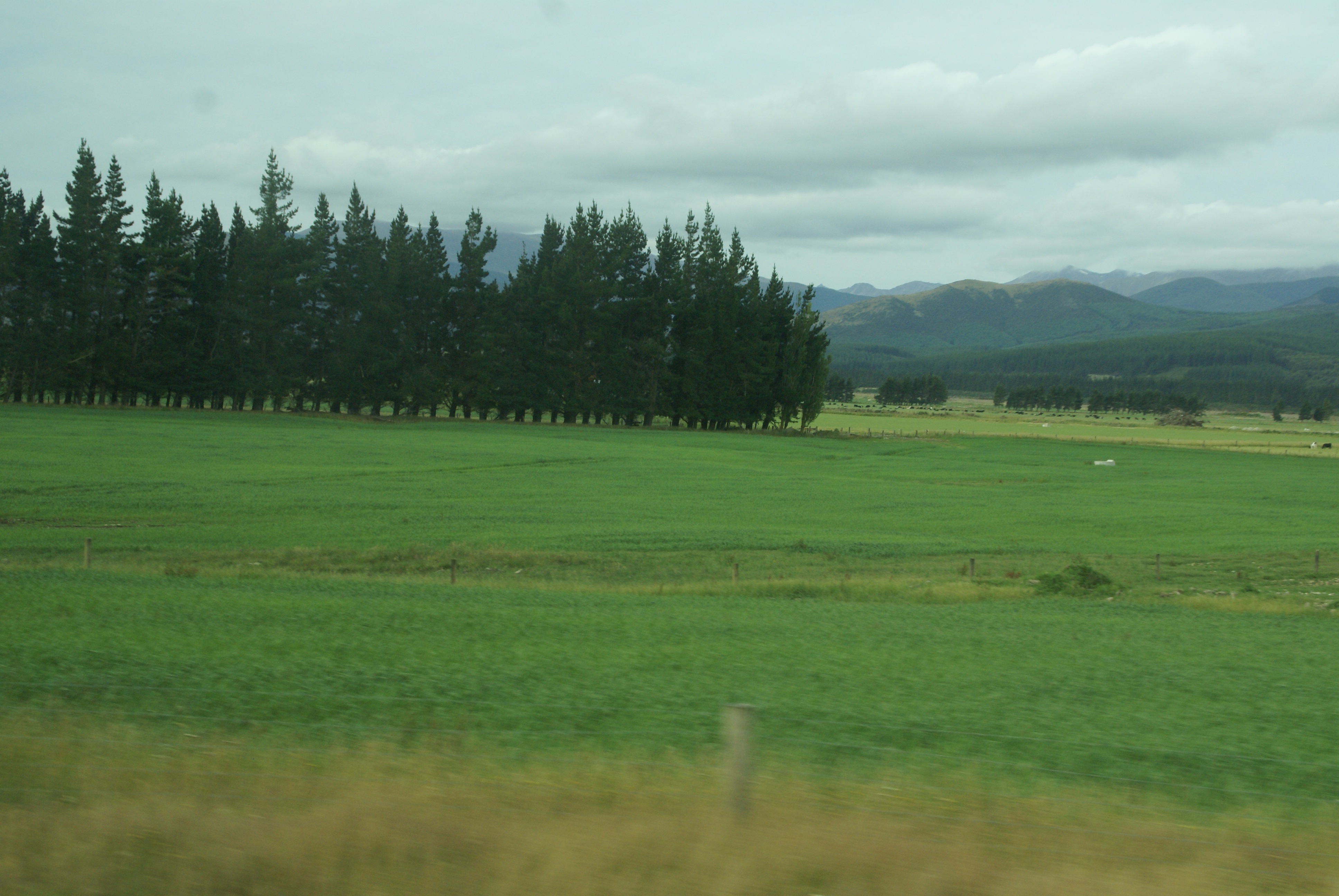
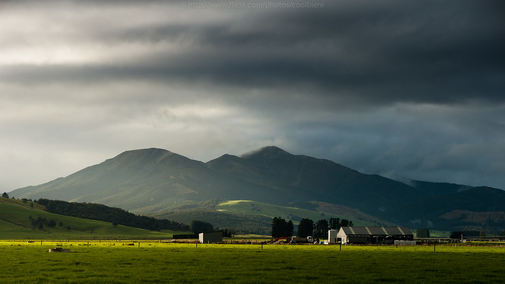
Farmland, South Island, New Zealand
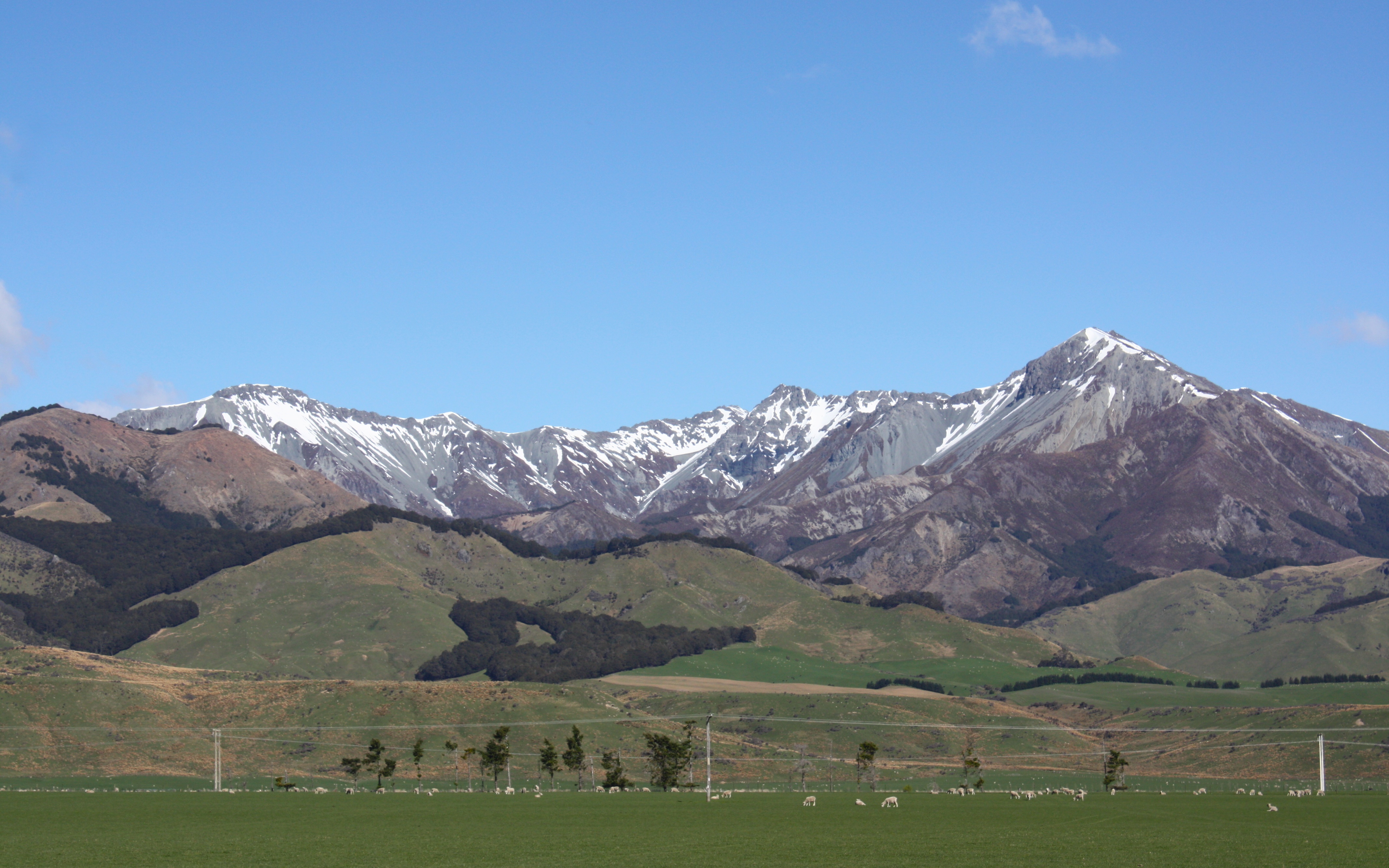
Mountain Views

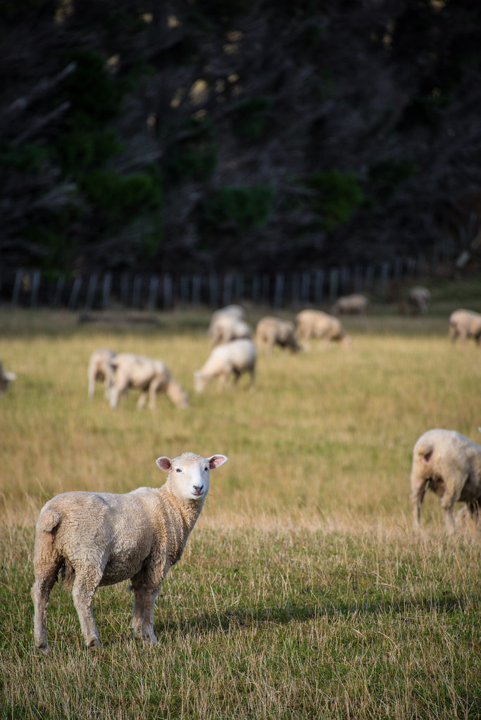
Wide Angle Sheep

IMG_5667.jpg

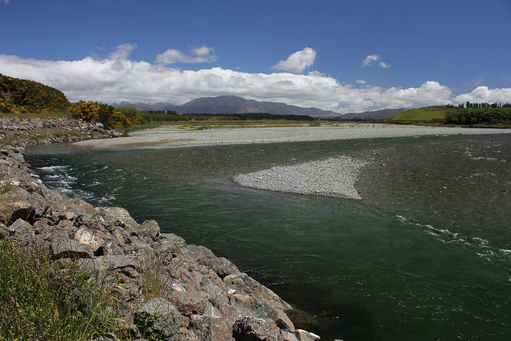
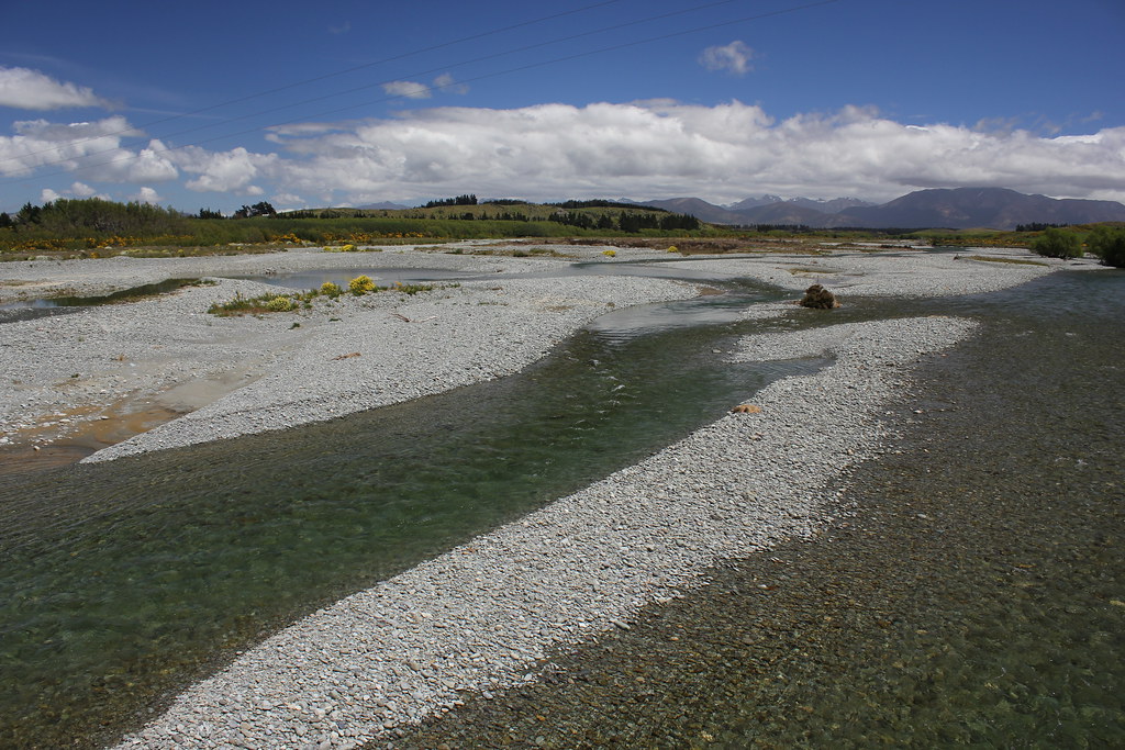
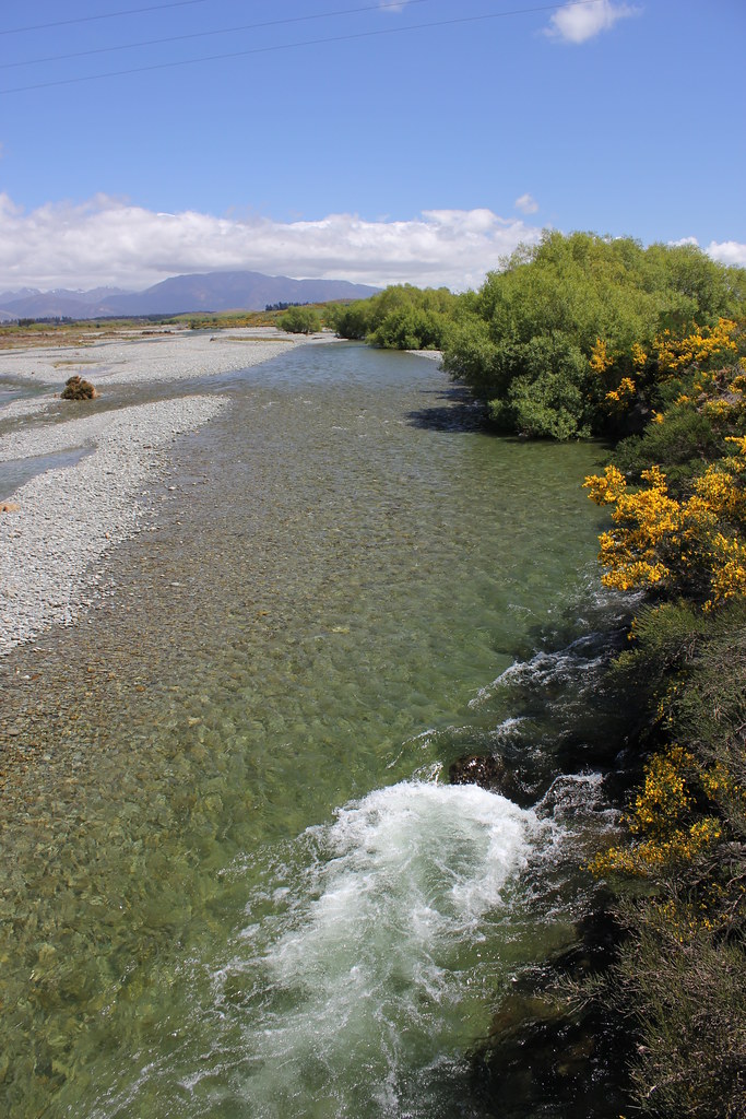
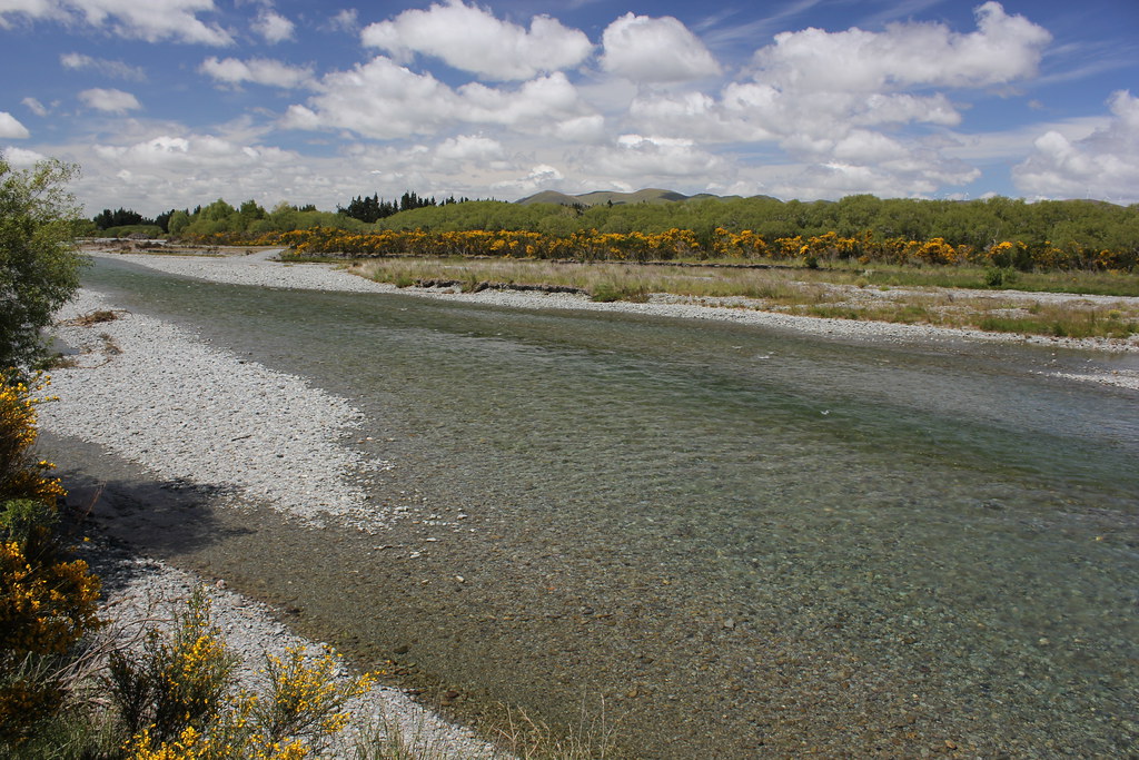
Stopover at the River

IMG_5666.jpg
Te Anau to Queenstown

Stopover at the River
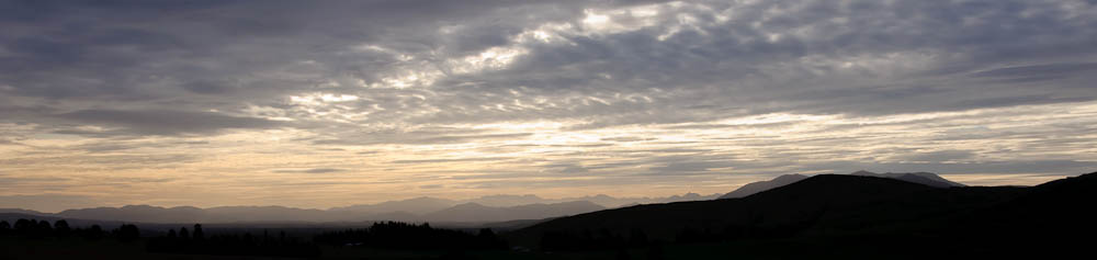
Southland Sunset
Te Anau to Queenstown
Te Anau to Queenstown

Stopover at the River
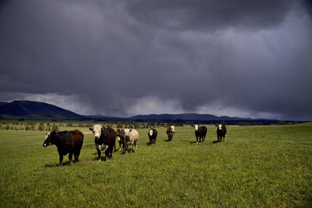
Soon to be very damp cows
another barn
The Way to Manapouri
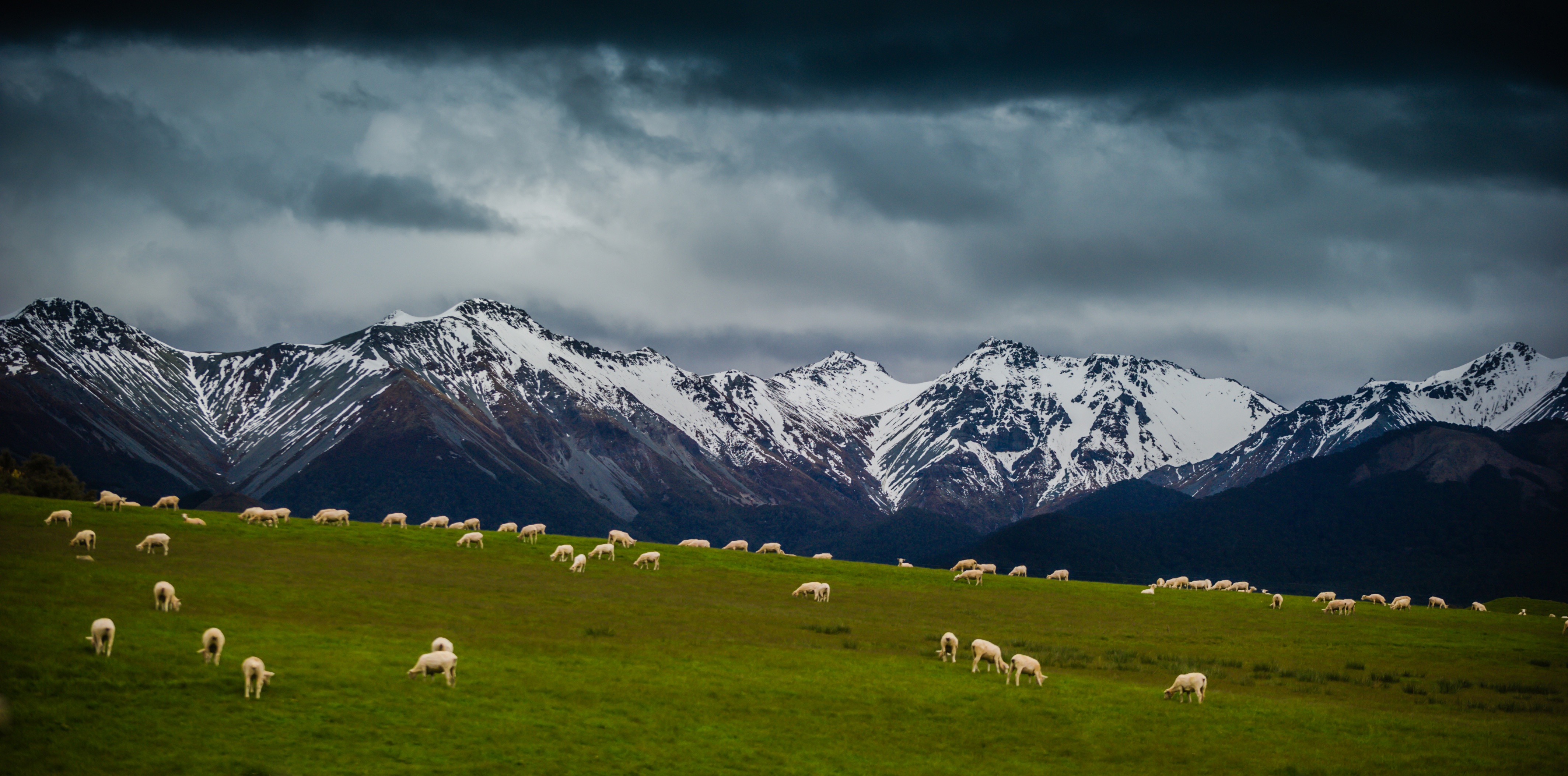
Wide Angle Sheep

2010 Nouvelle Zélande

QTN to TeAnau 23Dec2014
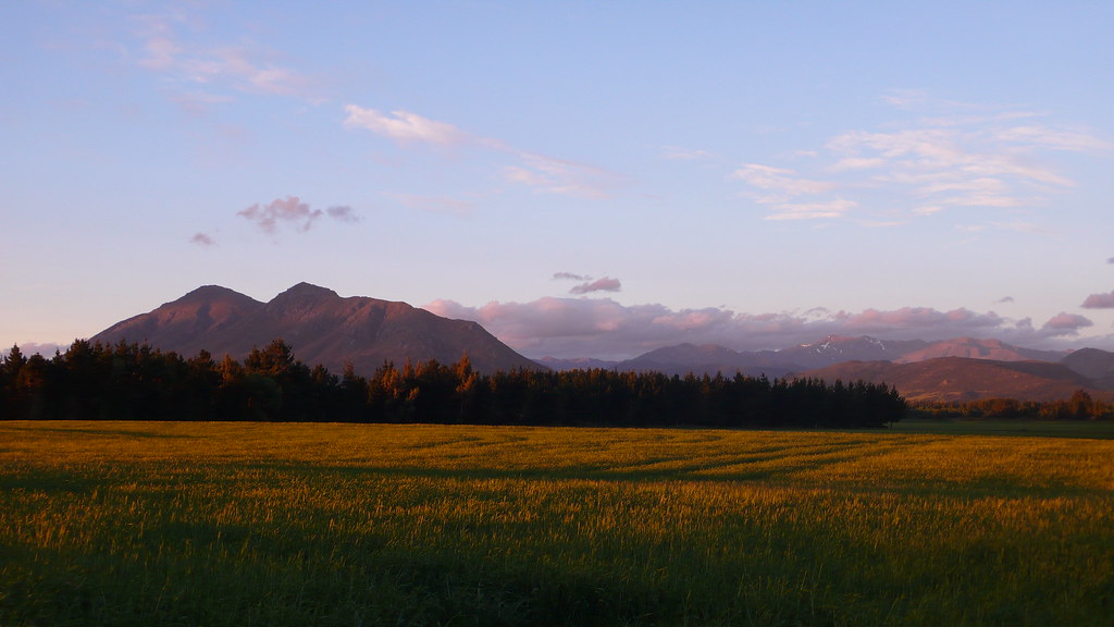
Mossburn Sunset
Camera Roll-2506
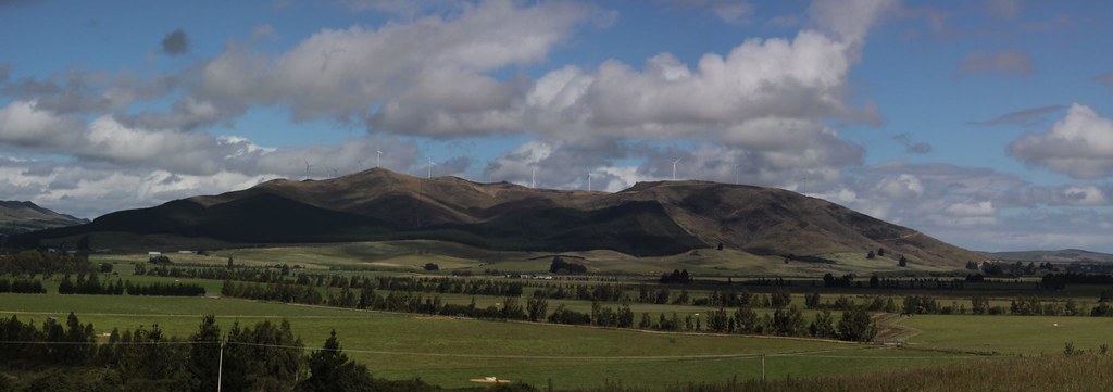
White Hill
_DSC2647.jpg
Te Anau to Queenstown
Topographic Map of Mossburn, New Zealand
Find elevation by address:

Places near Mossburn, New Zealand:
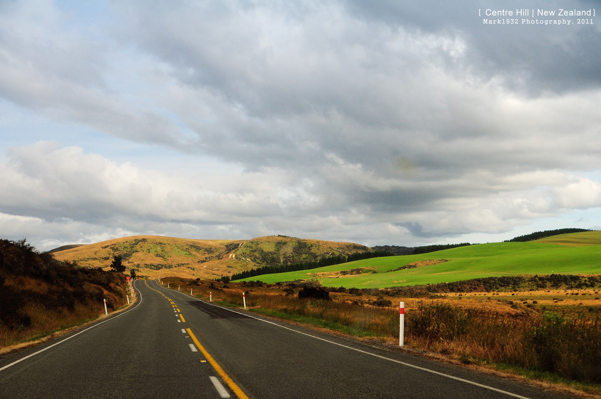
Centre Hill
Centre Hill Road
Lumsden
Dipton
Parawa
Mavora
The Key
Nokomai Road
10 Atlas Street
Mavora Lakes Camping Area - North Lake.
Limehills
1200 Kakapo Rd
Brunel Peaks
Oreti Plains
Kakapo Road
438 Gillespie Rd
Winton
500 Kakapo Rd
300 Kakapo Rd
223 Kakapo Rd
Recent Searches:
- Elevation of Sunset Dr, Richmond, VA, USA
- Elevation of Grodna District, Hrodna Region, Belarus
- Elevation of Hrodna, Hrodna Region, Belarus
- Elevation of Sandia Derby Estates, Tijeras, NM, USA
- Elevation of 23 Sunrise View Ct, Tijeras, NM, USA
- Elevation of Lytham Ln, Katy, TX, USA
- Elevation of Tater Hill, Oklahoma, USA
- Elevation of NY-, Friendship, NY, USA
- Elevation of 64 Danakas Dr, Winnipeg, MB R2C 5N7, Canada
- Elevation of 4 Vale Rd, Sheffield S3 9QX, UK