Elevation of Lumsden, New Zealand
Location: New Zealand > Southland > Southland District >
Longitude: 168.441721
Latitude: -45.739785
Elevation: 187m / 614feet
Barometric Pressure: 99KPa
Elevation Map:
Satellite Map:
Related Photos:
White Hill
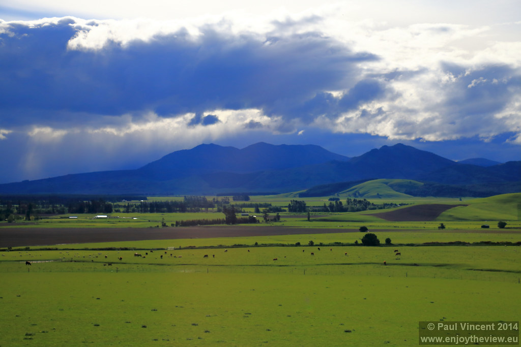
Farmland, South Island, New Zealand
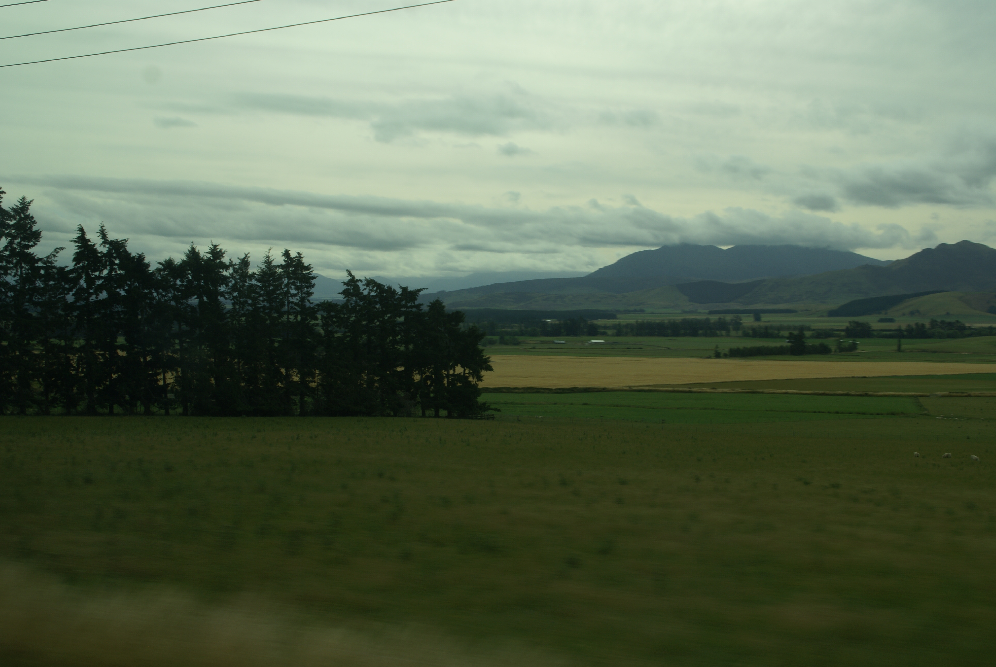
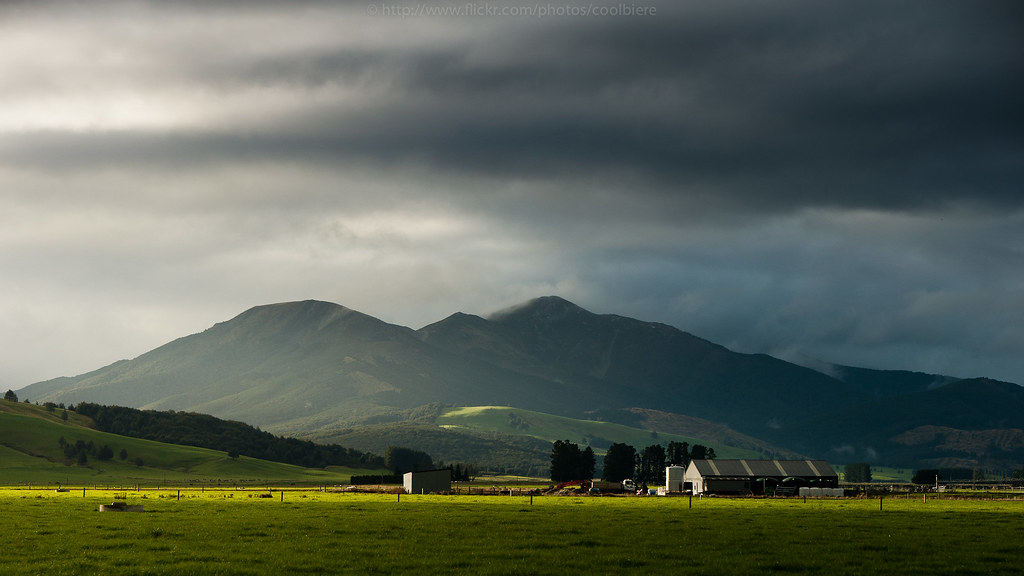
Rural Southland

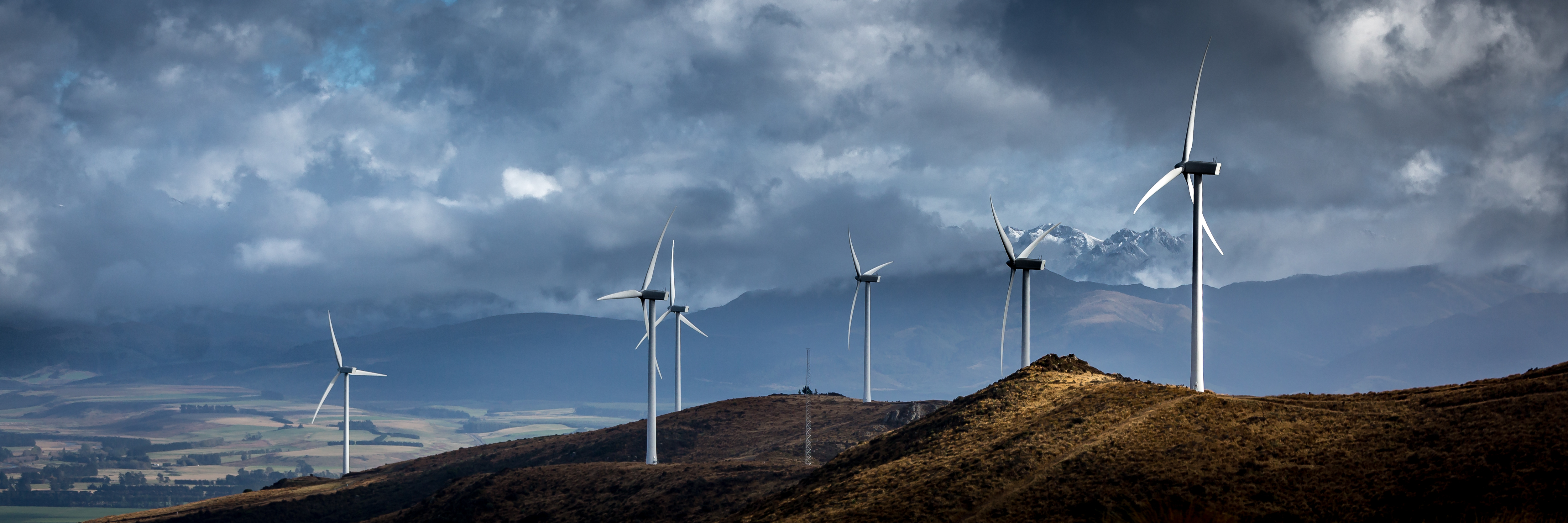
Wind farm

Sheep in the field (getty)
2013-01-03-07-41-50-Та Анау-036

New Zealand

Five Rivers
another barn
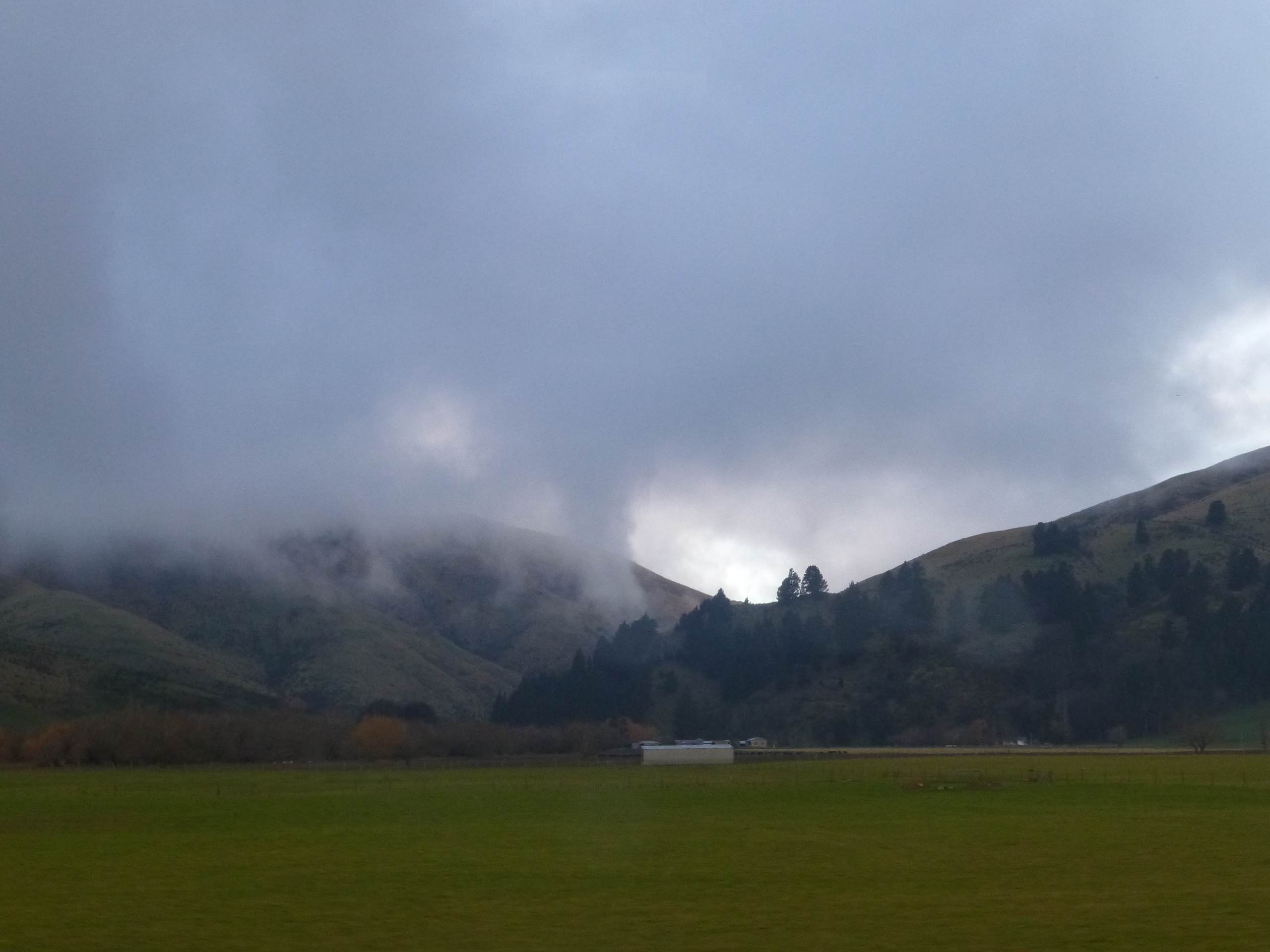
Low flying clouds

DSC02560-HDR.jpg

DSC02578-HDR.jpg

QTN to TeAnau 23Dec2014

2013-01-03-07-45-59-Та Анау-037

DSC02562-HDR.jpg
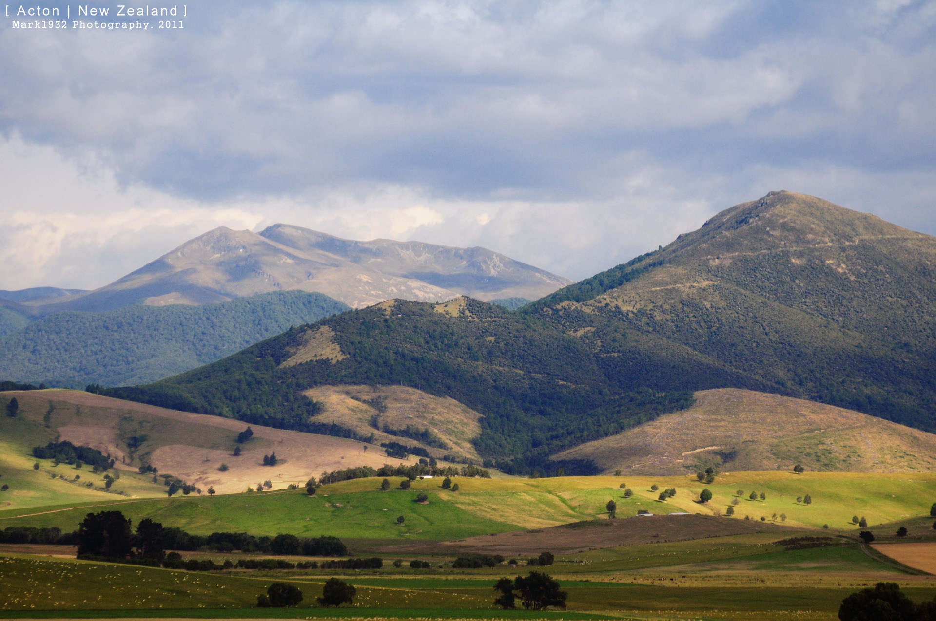
Acton which is on the way to Queenstown.

DSC02587.jpg
Te Anau to Queenstown

DSC02582-HDR.jpg

Road side friend
Southland Sunset
Te Anau to Queenstown
DSC02589.jpg

Lumsden Dipton Highway - Fjordland National Park
Topographic Map of Lumsden, New Zealand
Find elevation by address:

Places near Lumsden, New Zealand:
Dipton
Mossburn
Parawa
Nokomai Road
10 Atlas Street
Limehills
Centre Hill
Centre Hill Road
Winton
Oreti Plains
64 Lochiel Bridge Road
Mavora
Wesney Terrace
Mavora Lakes Camping Area - North Lake.
The Key
Rakahouka
Otautau
Lorne-dacre Road
Wallacetown
352 Lorne-dacre Rd
Recent Searches:
- Elevation of Corso Fratelli Cairoli, 35, Macerata MC, Italy
- Elevation of Tallevast Rd, Sarasota, FL, USA
- Elevation of 4th St E, Sonoma, CA, USA
- Elevation of Black Hollow Rd, Pennsdale, PA, USA
- Elevation of Oakland Ave, Williamsport, PA, USA
- Elevation of Pedrógão Grande, Portugal
- Elevation of Klee Dr, Martinsburg, WV, USA
- Elevation of Via Roma, Pieranica CR, Italy
- Elevation of Tavkvetili Mountain, Georgia
- Elevation of Hartfords Bluff Cir, Mt Pleasant, SC, USA