Elevation of Moss Branch Rd, Bon Aqua, TN, USA
Location: United States > Tennessee > Hickman County > Bon Aqua >
Longitude: -87.304057
Latitude: 35.964464
Elevation: 269m / 883feet
Barometric Pressure: 98KPa
Elevation Map:
Satellite Map:
Related Photos:
end of my day
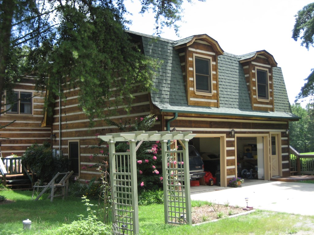
Apartment View from Side of House
Apartment View from Front of House

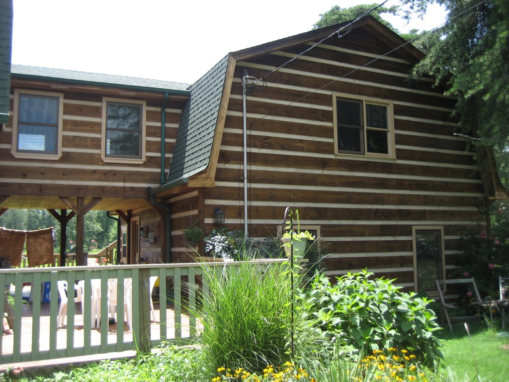
Apartment View from Back of House

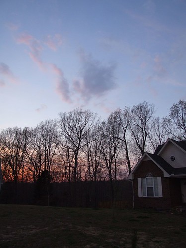
The view ahead

TN840_Cur_End@TN100_EBOnramp_2

2nd Bedroom Backyard View

Socks, front view

Walker toy from Grandma & Grandpa
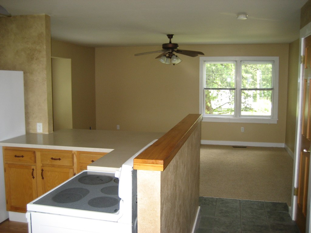
View of Kitchen and Living Room from Entrance
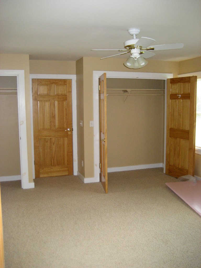
Master Bedroom View from Hallway
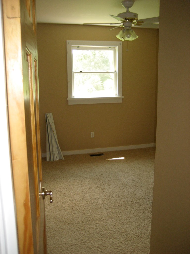
View of 2nd Bedroom from Hallway
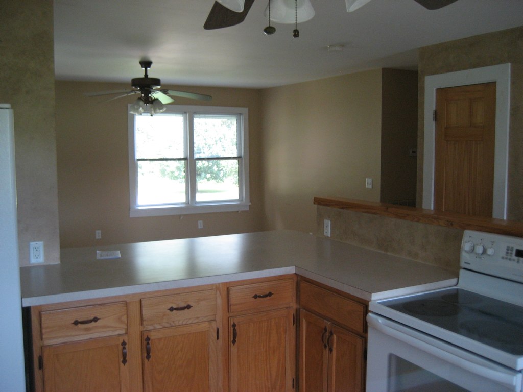
Kitchen & Living Room View from Kitchen
View from Main Entrance
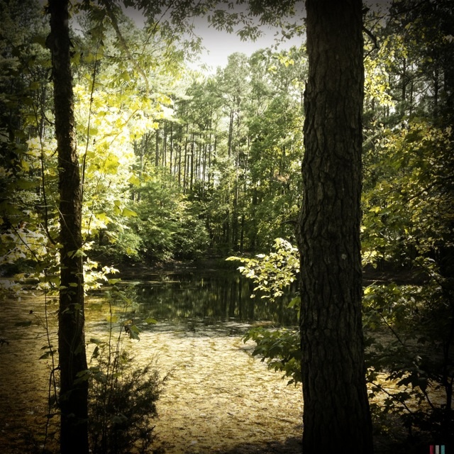
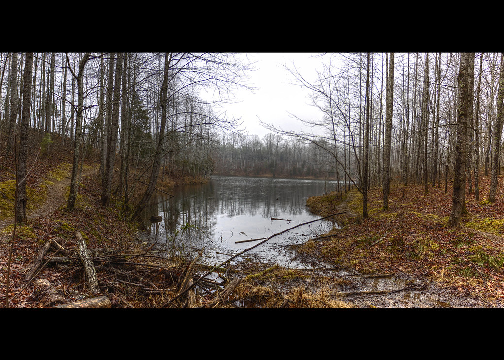
Pond view from a new running trail.

Arby's in the Rear View Mirror
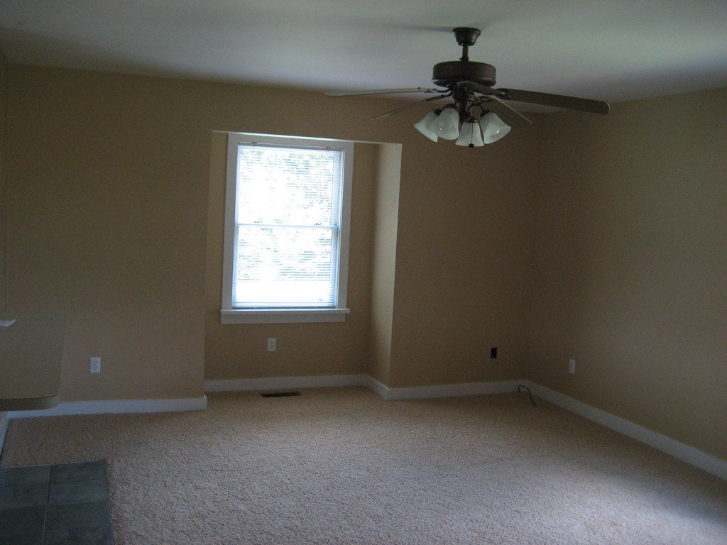
Living Room view from Hallway
Master Bedroom Backyard View

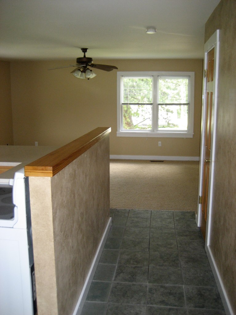
View of Kitchen from Living Room
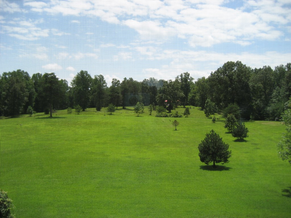
View from Montgomery Bell State Park Hotel

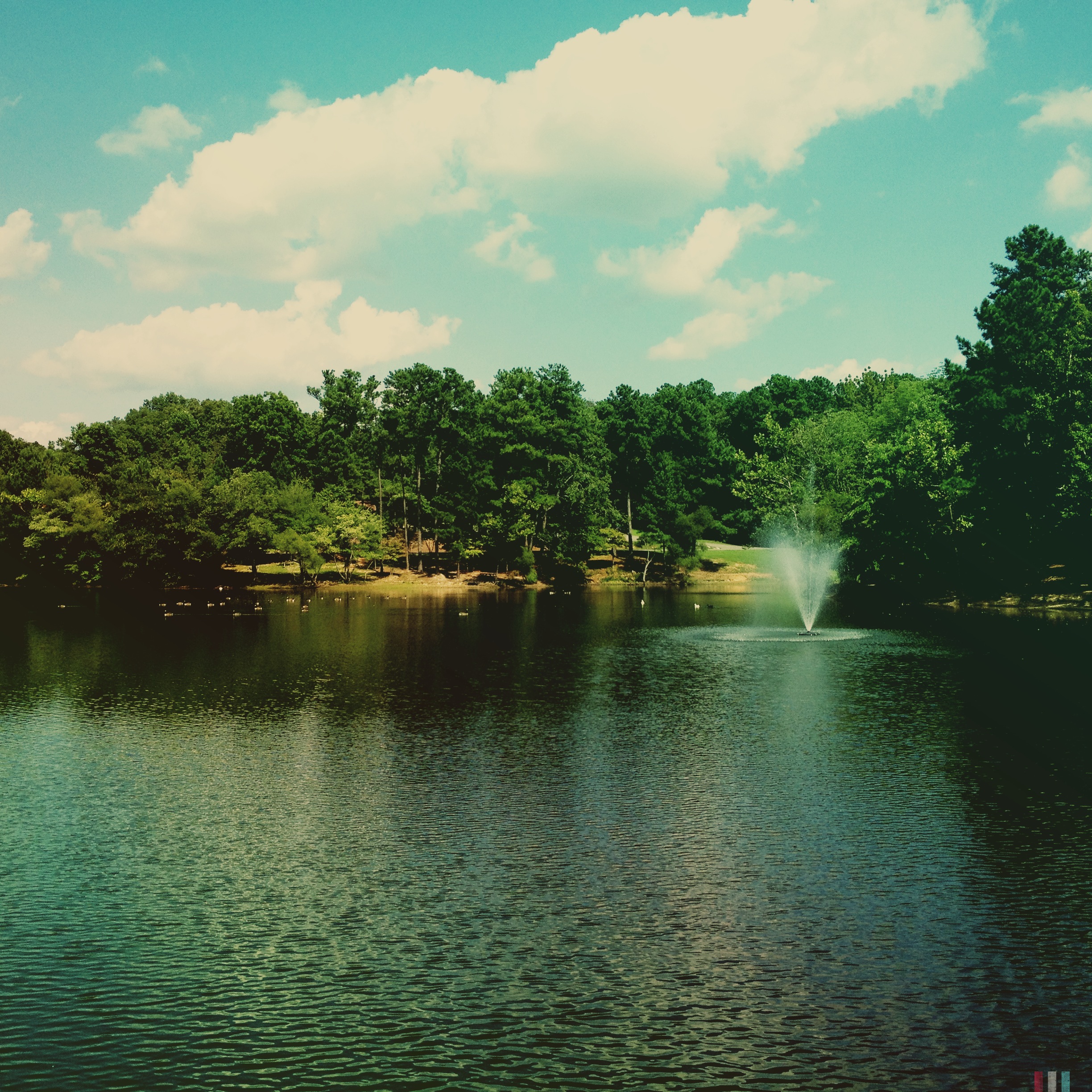
Montgomery Bell State Park

Slowly, Spring Comes.
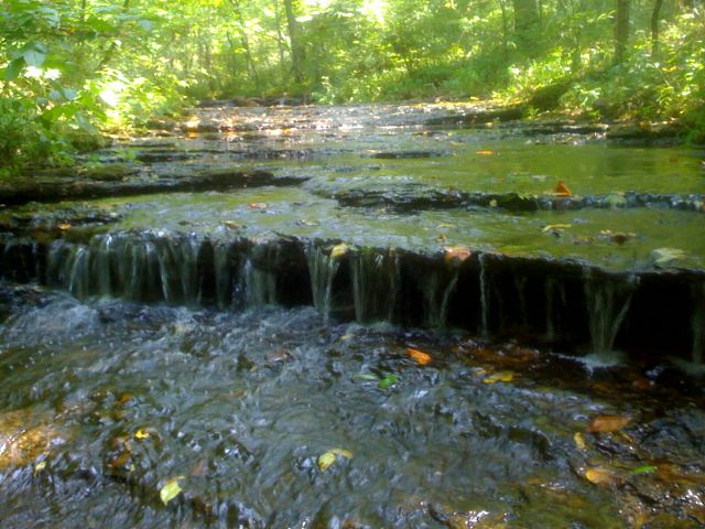
Calm Water Under The Bridge

Into the light

Cold Dust

Inlayd Stone

Montgomery Bell State Park
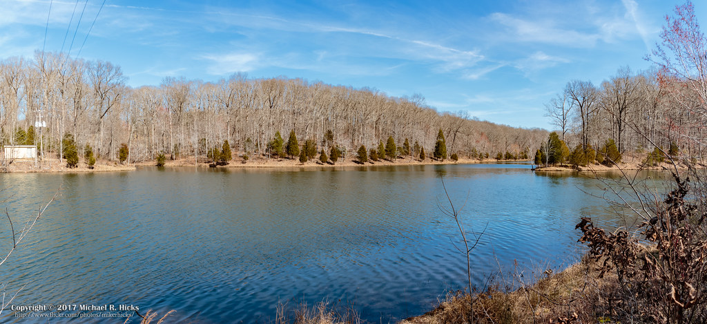
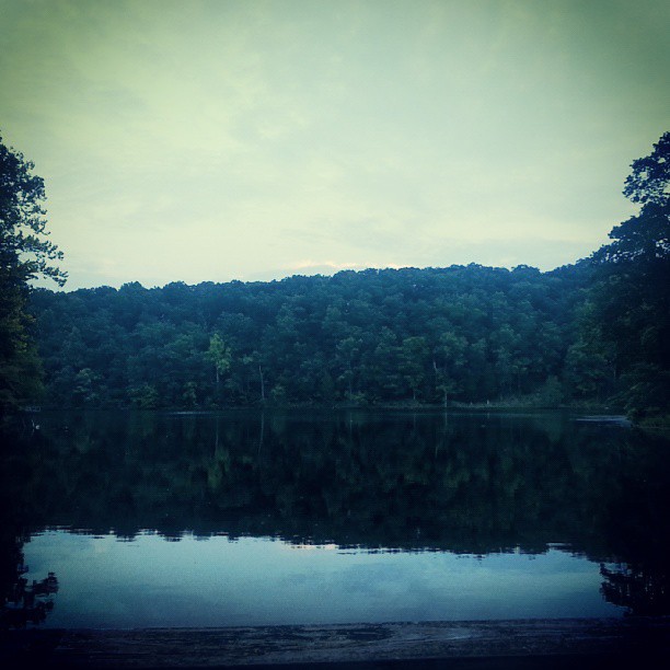
Creech Hollow Lake
Montgomery Bell State Park
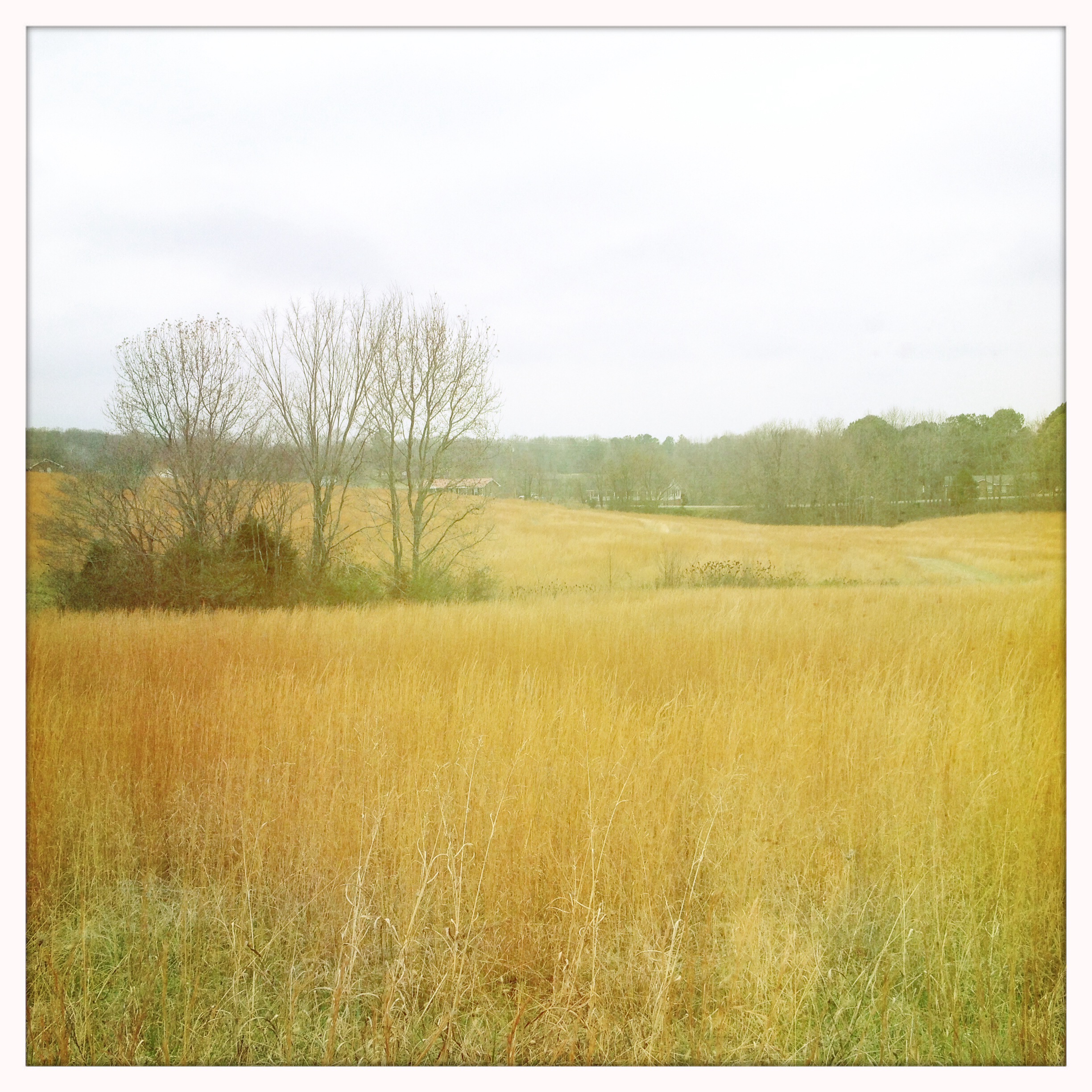
Amber waves.
Montgomery Bell State Park
Montgomery Bell State Park

2008-08-16 16:37:35 -0500
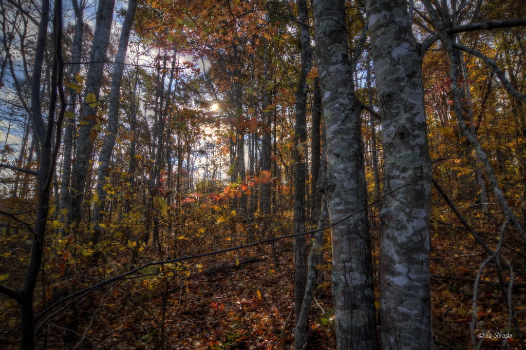
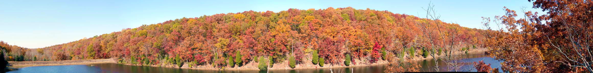
Autumn Explosion

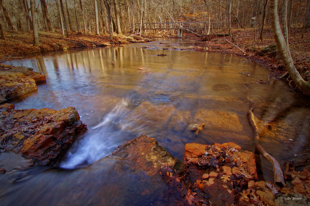
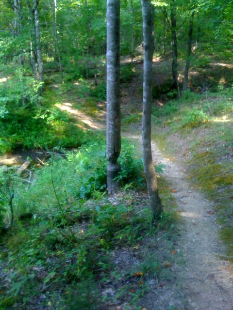
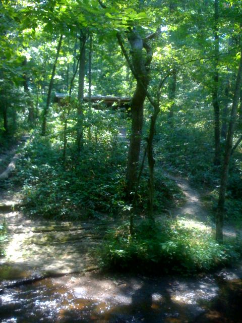
Creek bed
Quiet afternoon.
Beyond the Dome
Beaver tree
2008-08-16 16:38:00 -0500
2008-08-16 16:33:48 -0500
Sunrise over the dam
Topographic Map of Moss Branch Rd, Bon Aqua, TN, USA
Find elevation by address:

Places near Moss Branch Rd, Bon Aqua, TN, USA:
Bon Aqua
Johnny Crow Rd, Lyles, TN, USA
Lyles
11208 Tidwell Rd
Charleston Drive
6880 Oak Hill Dr
Co Hwy, Burns, TN, USA
Burns
312 Beechwood Dr
1221 Hardwood Trail
Washer Rd, Lyles, TN, USA
239 Old Columbia Rd
Tom Patton Rd, Lyles, TN, USA
Bishop Ln, Burns, TN, USA
214 Old Columbia Rd
TN-, Lyles, TN, USA
1074 Rock Church Rd
Pinewood Rd, Nunnelly, TN, USA
Radioshack
10848 Back Piney Rd
Recent Searches:
- Elevation of Spaceport America, Co Rd A, Truth or Consequences, NM, USA
- Elevation of Warwick, RI, USA
- Elevation of Fern Rd, Whitmore, CA, USA
- Elevation of 62 Abbey St, Marshfield, MA, USA
- Elevation of Fernwood, Bradenton, FL, USA
- Elevation of Felindre, Swansea SA5 7LU, UK
- Elevation of Leyte Industrial Development Estate, Isabel, Leyte, Philippines
- Elevation of W Granada St, Tampa, FL, USA
- Elevation of Pykes Down, Ivybridge PL21 0BY, UK
- Elevation of Jalan Senandin, Lutong, Miri, Sarawak, Malaysia