Elevation of Tom Patton Rd, Lyles, TN, USA
Location: United States > Tennessee > Hickman County > Lyles >
Longitude: -87.296722
Latitude: 35.852573
Elevation: 235m / 771feet
Barometric Pressure: 99KPa
Elevation Map:
Satellite Map:
Related Photos:

TN840_Cur_End@TN100_EBOnramp_2
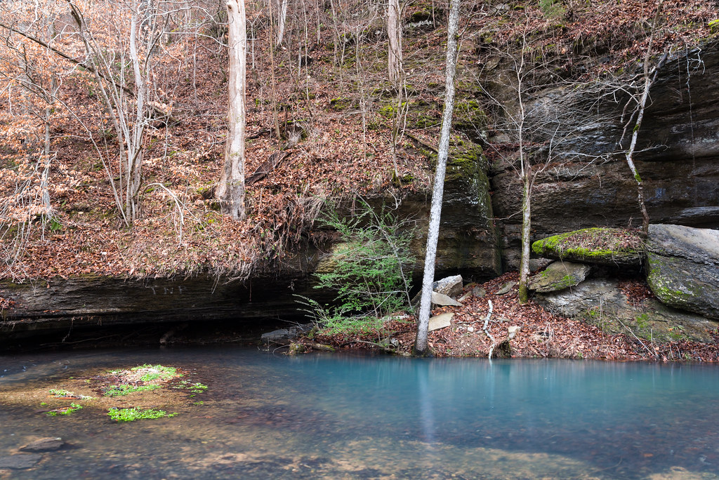
Cyan Pool, Little Rock Mills, Tennessee

Morning Sky

Old Trace Near Tobacco Farm In Hampshire Tn

Sunday Day Trip

Sunday Day Trip

Sunday Day Trip

Sunday Day Trip

Iris City Gardens

Sunday Day Trip

Sunday Day Trip
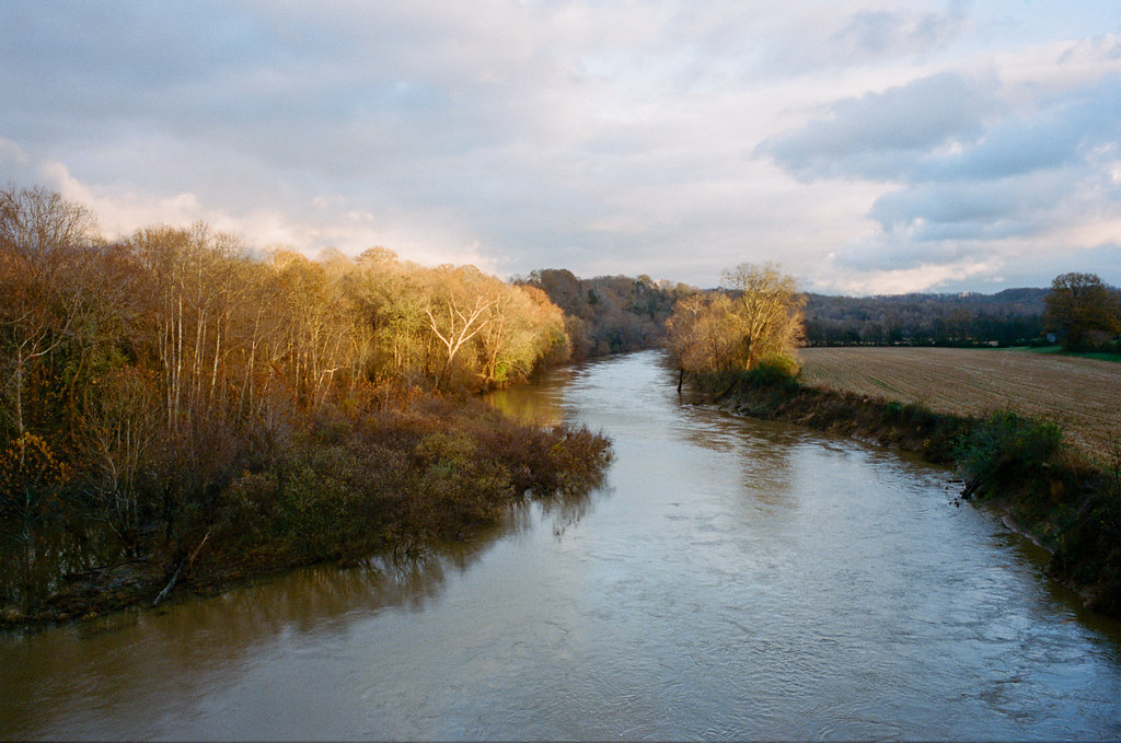
Duck River Sunset

John Noel State Natural Area at Bon Aqua

John Noel State Natural Area at Bon Aqua

John Noel State Natural Area at Bon Aqua

John Noel State Natural Area at Bon Aqua

John Noel State Natural Area at Bon Aqua
Highland Rim

Driving thru Williamsport Tn - 21

John Noel State Natural Area at Bon Aqua
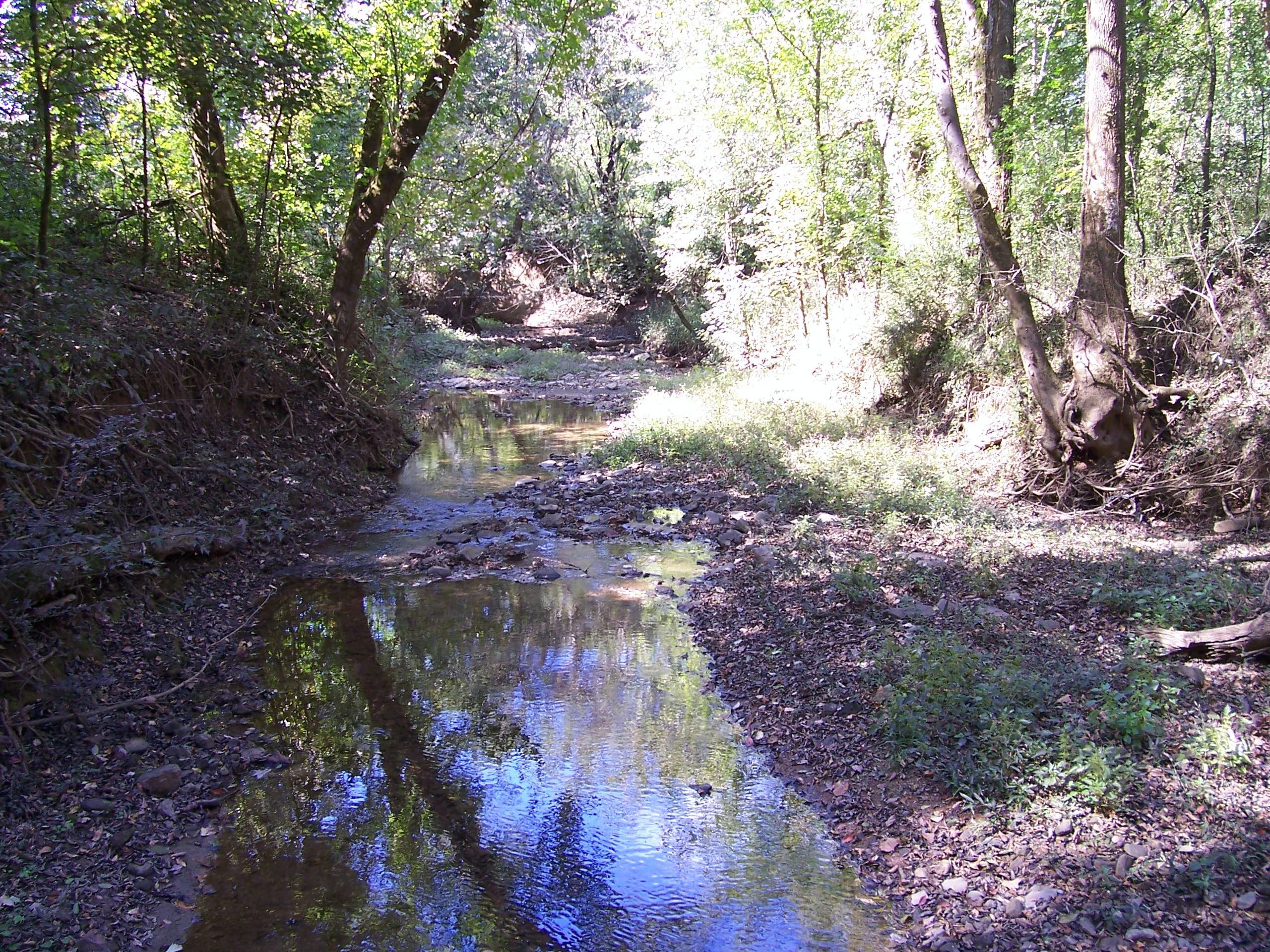
Creek Crossing

John Noel State Natural Area at Bon Aqua
Topographic Map of Tom Patton Rd, Lyles, TN, USA
Find elevation by address:

Places near Tom Patton Rd, Lyles, TN, USA:
Charleston Drive
TN-, Lyles, TN, USA
Johnny Crow Rd, Lyles, TN, USA
Washer Rd, Lyles, TN, USA
6880 Oak Hill Dr
Lyles
11208 Tidwell Rd
Bon Aqua
11340 Moss Branch Rd
5051 Jones Valley Rd
Duck River
TN-, Centerville, TN, USA
Pinewood Rd, Nunnelly, TN, USA
Co Hwy, Burns, TN, USA
3260 Mobley Ridge Rd
Jackson Falls Trail
Bond Rd, Duck River, TN, USA
Hickman County
Nunnelly
10848 Back Piney Rd
Recent Searches:
- Elevation of W Granada St, Tampa, FL, USA
- Elevation of Pykes Down, Ivybridge PL21 0BY, UK
- Elevation of Jalan Senandin, Lutong, Miri, Sarawak, Malaysia
- Elevation of Bilohirs'k
- Elevation of 30 Oak Lawn Dr, Barkhamsted, CT, USA
- Elevation of Luther Road, Luther Rd, Auburn, CA, USA
- Elevation of Unnamed Road, Respublika Severnaya Osetiya — Alaniya, Russia
- Elevation of Verkhny Fiagdon, North Ossetia–Alania Republic, Russia
- Elevation of F. Viola Hiway, San Rafael, Bulacan, Philippines
- Elevation of Herbage Dr, Gulfport, MS, USA