Elevation of Morrison, OK, USA
Location: United States > Oklahoma > Noble County >
Longitude: -97.008093
Latitude: 36.2972705
Elevation: 286m / 938feet
Barometric Pressure: 98KPa
Elevation Map:
Satellite Map:
Related Photos:
The_Ranch_4 (21 of 30)

The_Ranch_4 (14 of 30)

The_Ranch_4 (23 of 30)

The_Ranch_4 (8 of 30)

The_Ranch_4 (13 of 30)

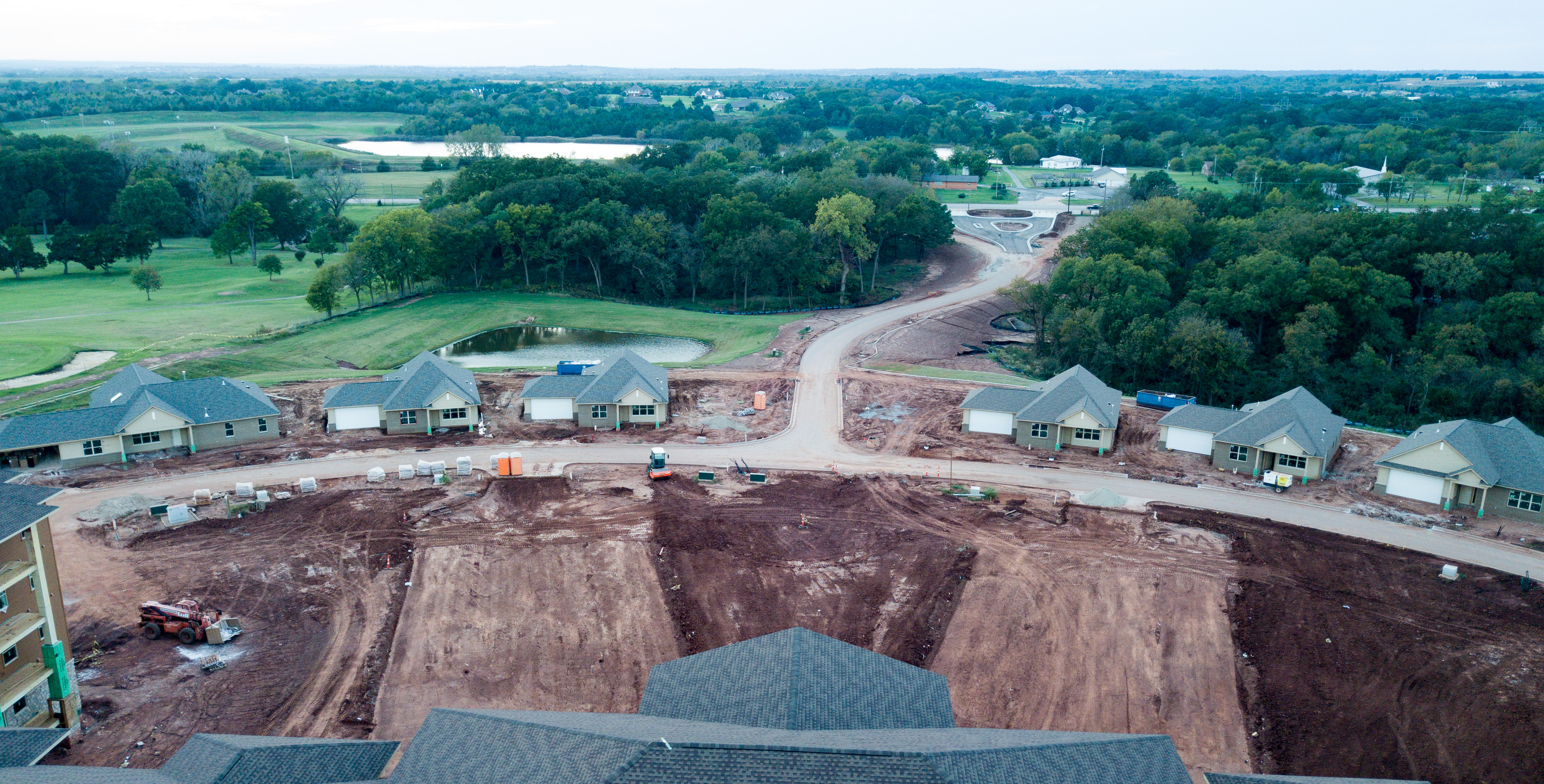
Oklahoma terrain
The_Ranch_4 (17 of 30)

Old and Beautiful

The Old Farm House_

Urban Decay

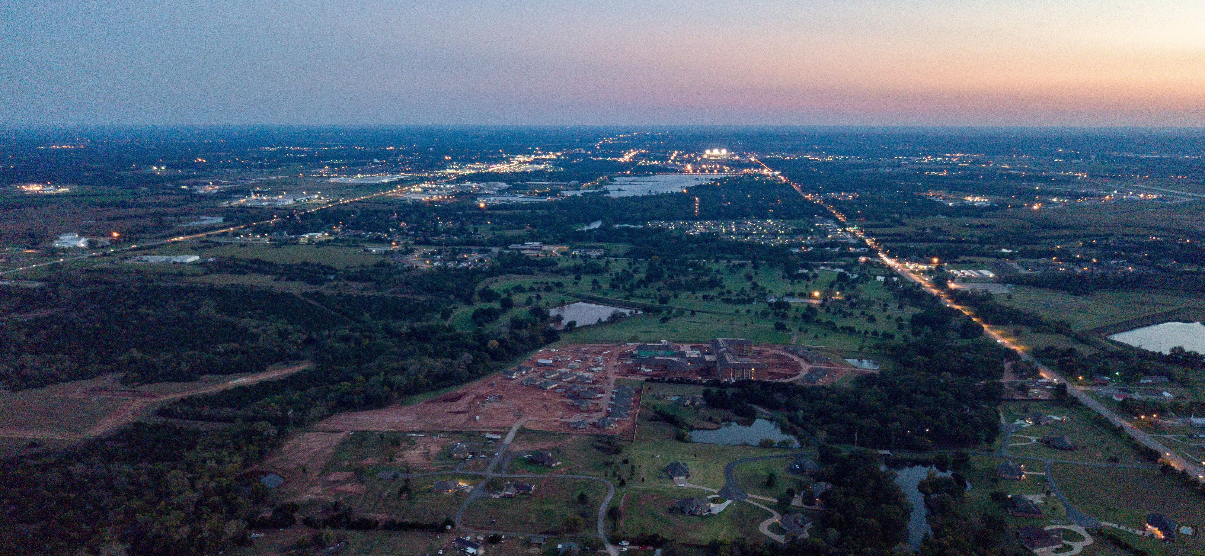
Sunset over Stillwater

40/365 april ninth

Flag-tailed Spinyleg (Dromogomphus spoliatus)
Topographic Map of Morrison, OK, USA
Find elevation by address:

Places near Morrison, OK, USA:
Camp Lela
Yost Rd, Glencoe, OK, USA
Glencoe
Payne County
Blue Diamond Cabaret
2011 Mi Sti Ln
609 Ash St
Pawnee
Ingalls
4310 E 80th St
Morton Ave, Ripley, OK, USA
Pawnee County
S Rd, Pawnee, OK, USA
E 46 Rd, Pawnee, OK, USA
US-64, Pawnee, OK, USA
342586 E 750 Rd
Cushing
Edward Jones - Financial Advisor: Grant E Mcneal
South Harrison Avenue
O'reilly Auto Parts
Recent Searches:
- Elevation of Lampiasi St, Sarasota, FL, USA
- Elevation of Elwyn Dr, Roanoke Rapids, NC, USA
- Elevation of Congressional Dr, Stevensville, MD, USA
- Elevation of Bellview Rd, McLean, VA, USA
- Elevation of Stage Island Rd, Chatham, MA, USA
- Elevation of Shibuya Scramble Crossing, 21 Udagawacho, Shibuya City, Tokyo -, Japan
- Elevation of Jadagoniai, Kaunas District Municipality, Lithuania
- Elevation of Pagonija rock, Kranto 7-oji g. 8"N, Kaunas, Lithuania
- Elevation of Co Rd 87, Jamestown, CO, USA
- Elevation of Tenjo, Cundinamarca, Colombia