Elevation of Ingalls, OK, USA
Location: United States > Oklahoma > Payne County >
Longitude: -96.881737
Latitude: 36.102493
Elevation: 285m / 935feet
Barometric Pressure: 98KPa
Elevation Map:
Satellite Map:
Related Photos:

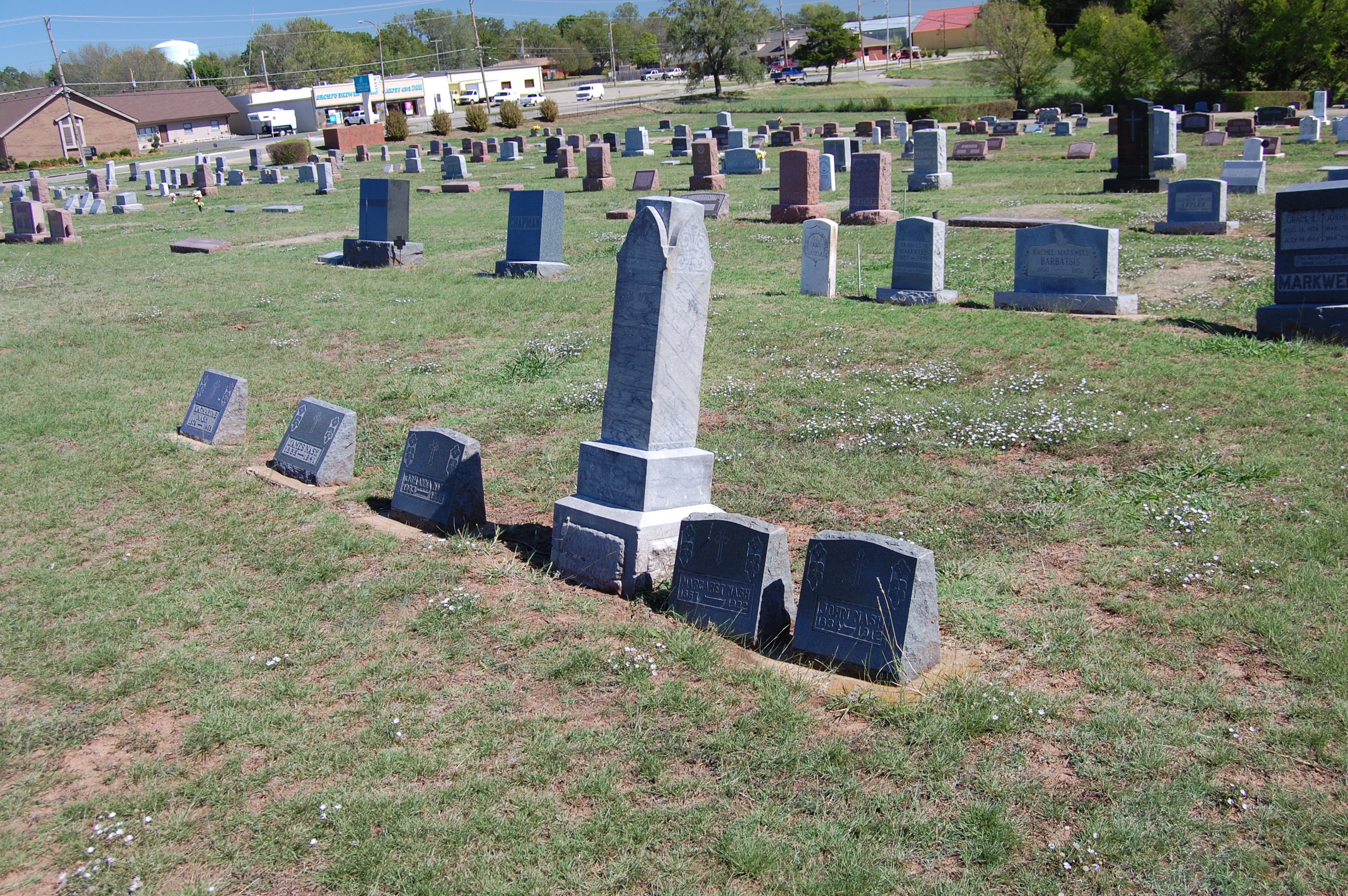
Trio
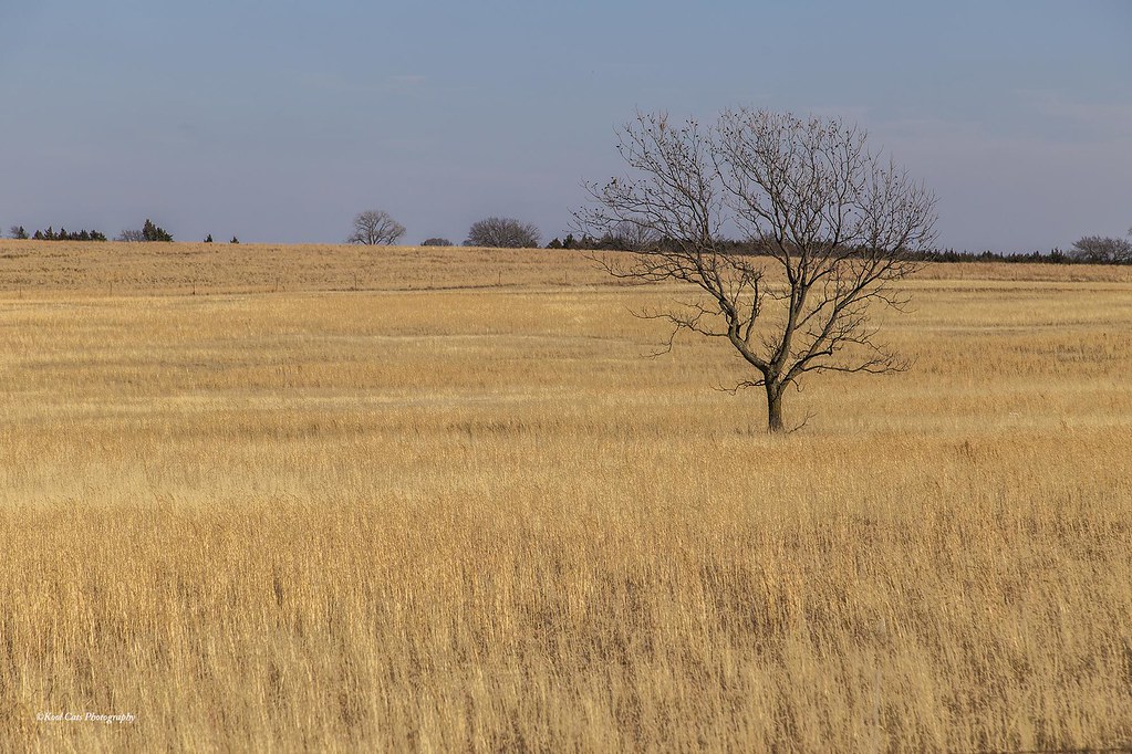
Single and Lonely

2014-07-01_05-49-21
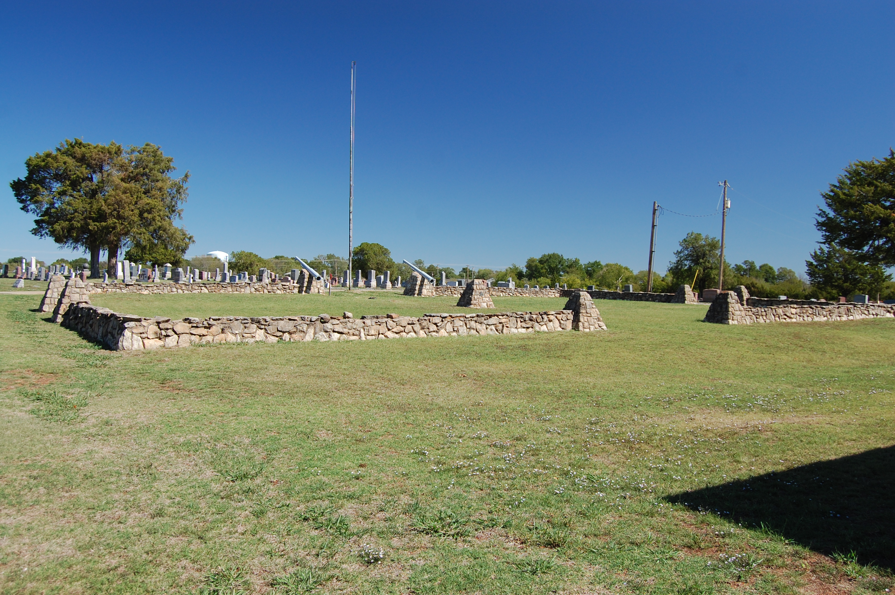
Fairlawn Cemetery
Fairlawn Cemetery

What I found in western oklahoma
Fairlawn Cemetery
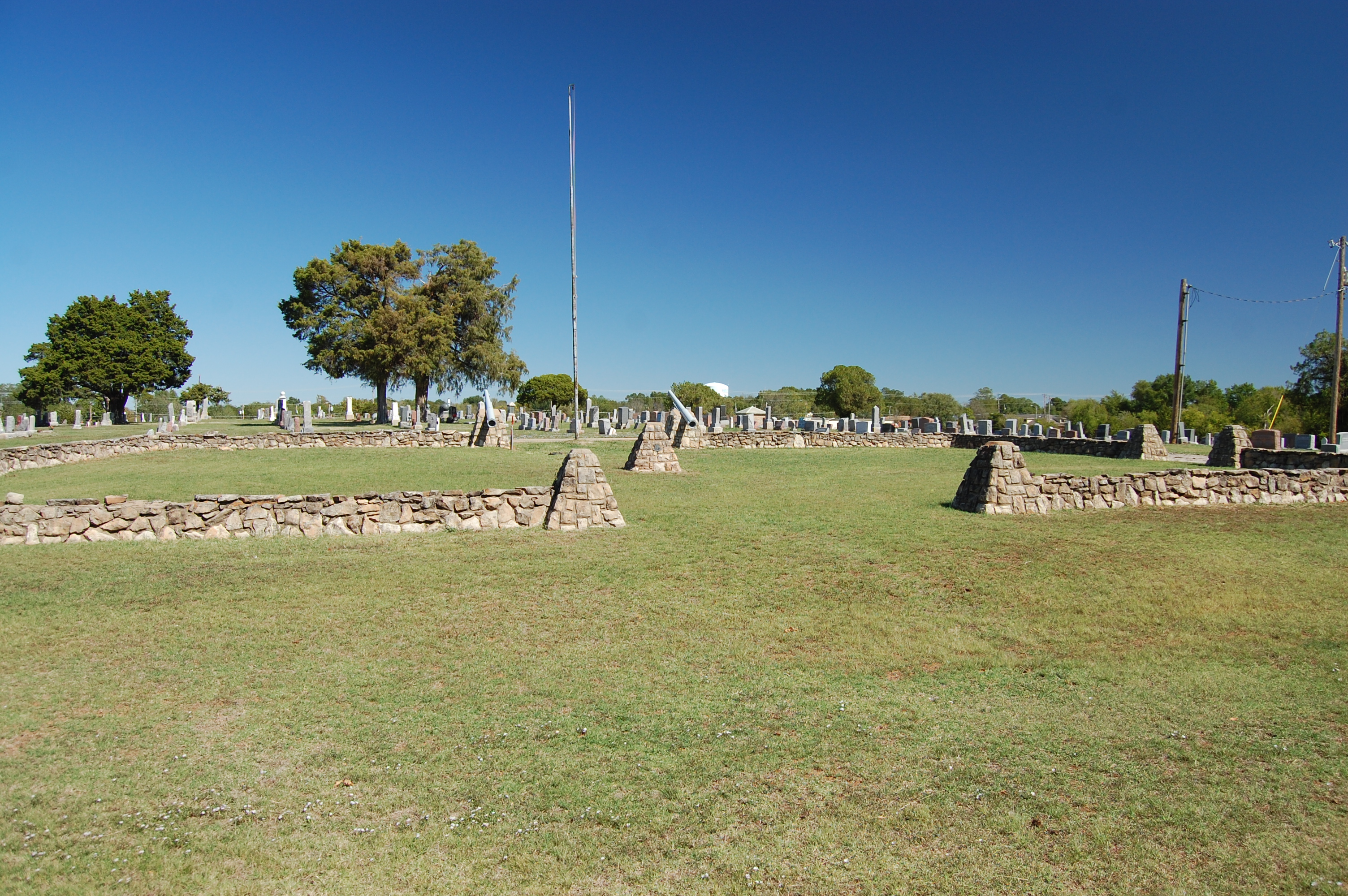
Fairlawn Cemetery
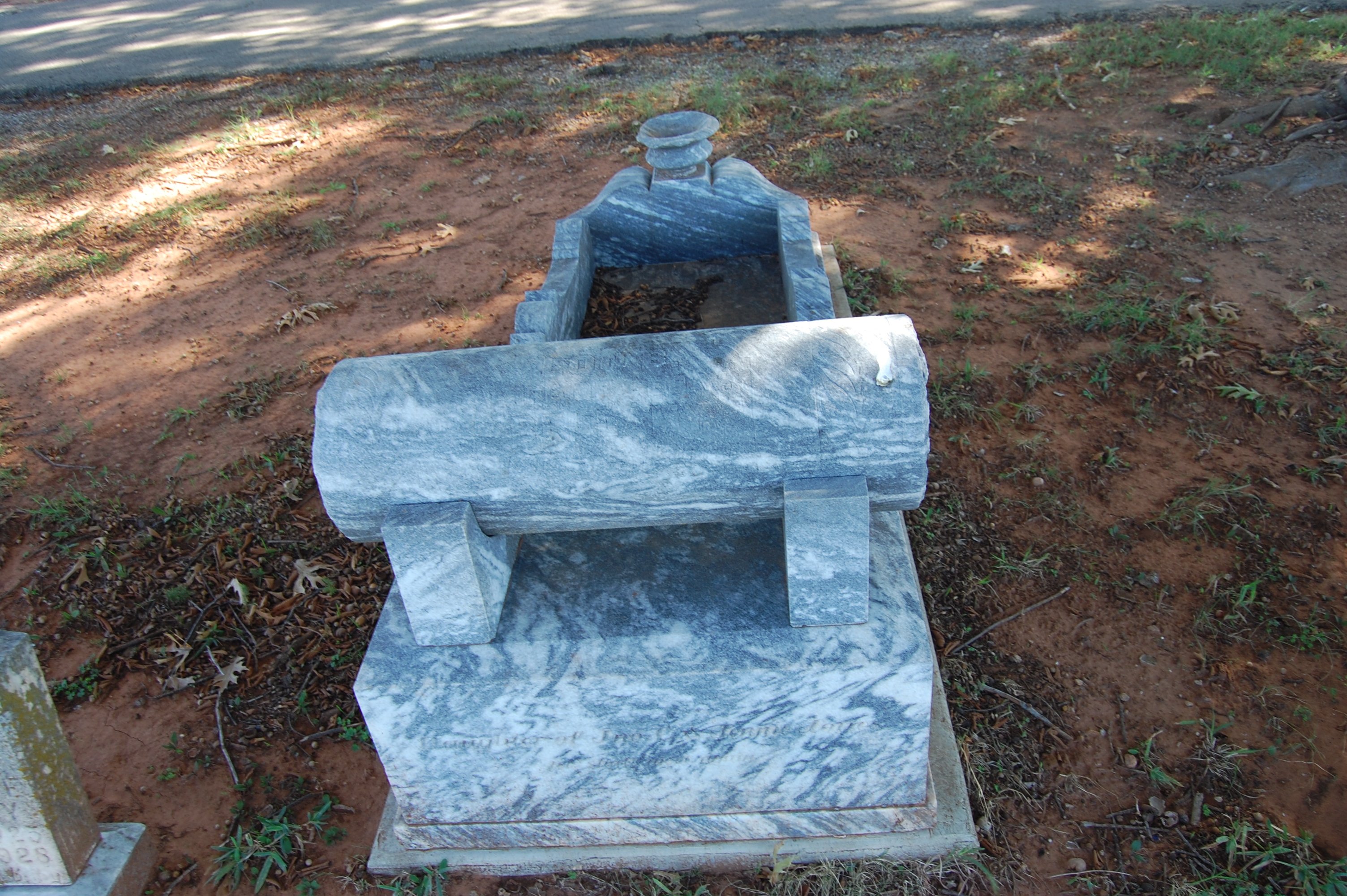
Fairlawn Cemetery
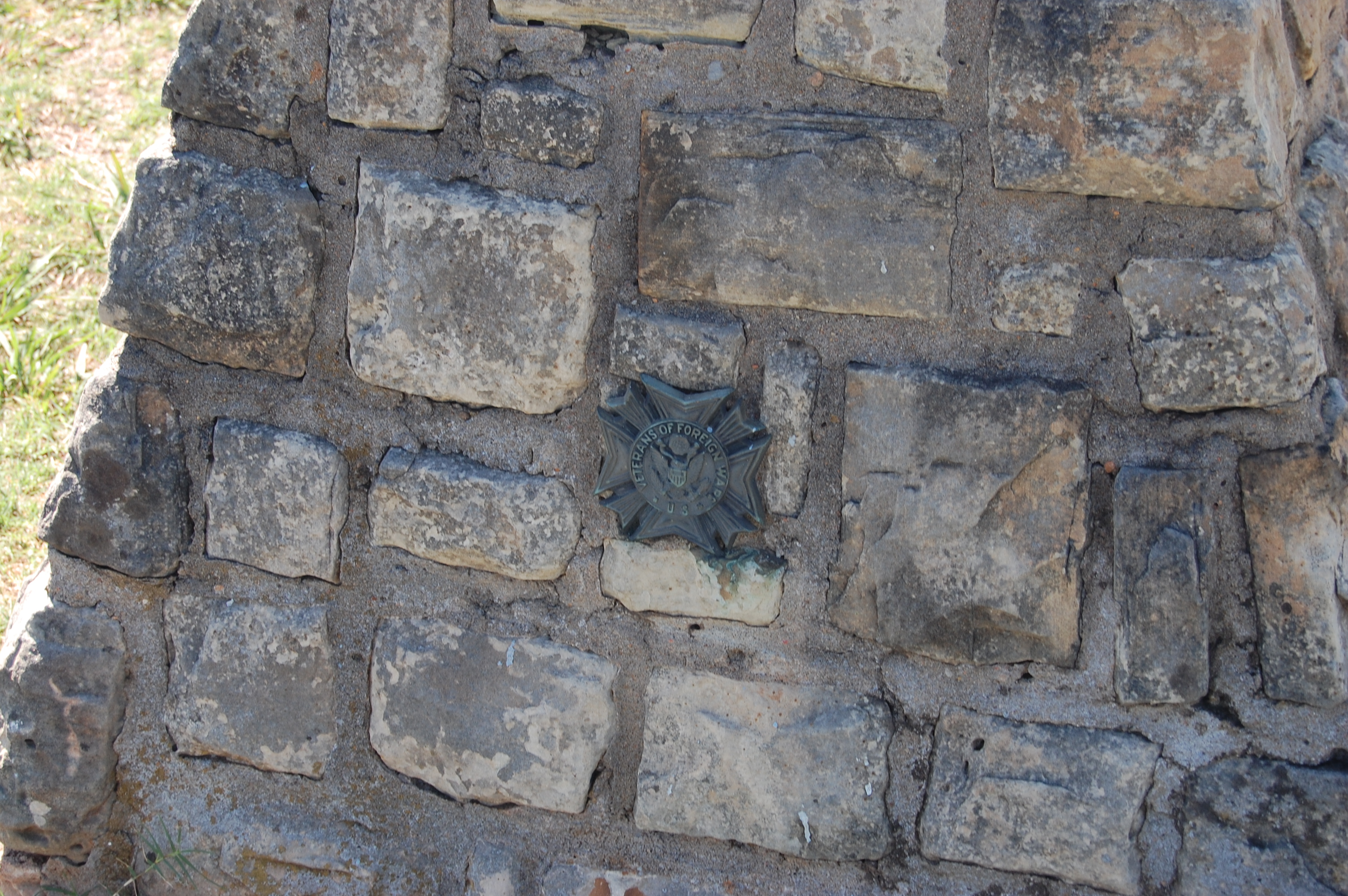
Adam's lease
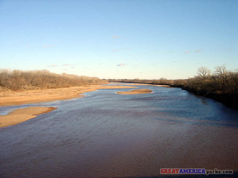
Cimarron River
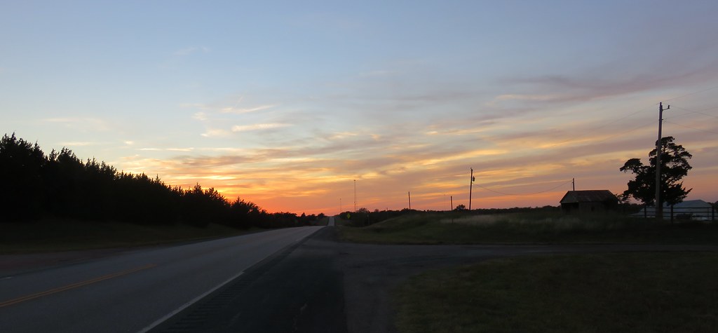
Oklahoma Sunset (Payne County, Oklahoma)
Near Yale, Oklahoma
Topographic Map of Ingalls, OK, USA
Find elevation by address:

Places near Ingalls, OK, USA:
Blue Diamond Cabaret
Morton Ave, Ripley, OK, USA
Payne County
Glencoe
4310 E 80th St
Yost Rd, Glencoe, OK, USA
Edward Jones - Financial Advisor: Grant E Mcneal
Cushing
South Harrison Avenue
O'reilly Auto Parts
342586 E 750 Rd
Agra
Camp Lela
2011 Mi Sti Ln
Morrison
609 Ash St
Tryon
2 Central Ave, Carney, OK, USA
Pawnee
Pawnee County
Recent Searches:
- Elevation of Lampiasi St, Sarasota, FL, USA
- Elevation of Elwyn Dr, Roanoke Rapids, NC, USA
- Elevation of Congressional Dr, Stevensville, MD, USA
- Elevation of Bellview Rd, McLean, VA, USA
- Elevation of Stage Island Rd, Chatham, MA, USA
- Elevation of Shibuya Scramble Crossing, 21 Udagawacho, Shibuya City, Tokyo -, Japan
- Elevation of Jadagoniai, Kaunas District Municipality, Lithuania
- Elevation of Pagonija rock, Kranto 7-oji g. 8"N, Kaunas, Lithuania
- Elevation of Co Rd 87, Jamestown, CO, USA
- Elevation of Tenjo, Cundinamarca, Colombia