Elevation of Moose River Campground, 11 Heald Stream Rd, Jackman, ME, USA
Location: United States > Maine > Somerset County > Moose River >
Longitude: -70.248122
Latitude: 45.6533797
Elevation: 396m / 1299feet
Barometric Pressure: 97KPa
Elevation Map:
Satellite Map:
Related Photos:

Jackman, Maine

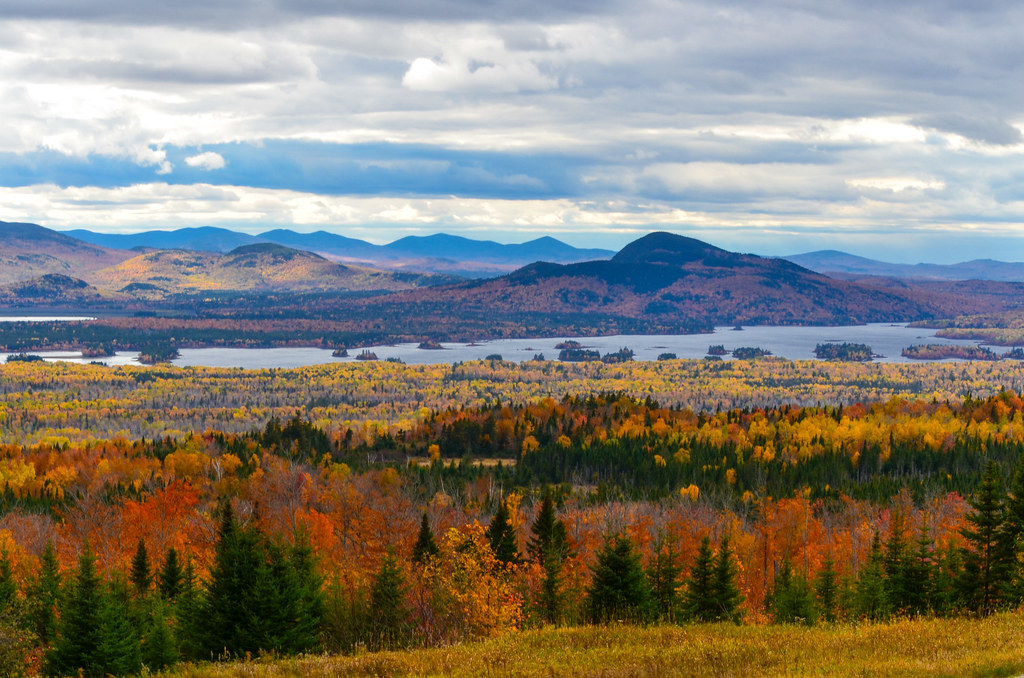
Colorful Mountains

Attean Pond

Attean Pond Valley - Maine (US)

Foliage & Haze

Beautiful Fall Foliage [sooc]

Upstate Maine Vista

Logging operation in Maine.

quebec 2012-08-2011-23-13

September Foliage

running the rapids below holeb falls 1
Robbins Hill Scenic Area - Maine - USA
Topographic Map of Moose River Campground, 11 Heald Stream Rd, Jackman, ME, USA
Find elevation by address:

Places near Moose River Campground, 11 Heald Stream Rd, Jackman, ME, USA:
Moose River
Jackman
263 Main St
Long Pond
Lake Parlin Lodge & Cabins
Coburn Mountain
Somerset County
West Forks
Northeast Somerset
Dead Stream Pond
Brassua Lake
Little Magic Falls
The Forks
281 The Birches Rd
Lake Moxie Rd, West Forks, ME, USA
Mount Bigelow
Rockwood
Carrabassett Valley
1022 Spurline Rd
1020 Spurline Rd
Recent Searches:
- Elevation of Brownsdale Rd, Renfrew, PA, USA
- Elevation of Corcoran Ln, Suffolk, VA, USA
- Elevation of Mamala II, Sariaya, Quezon, Philippines
- Elevation of Sarangdanda, Nepal
- Elevation of 7 Waterfall Way, Tomball, TX, USA
- Elevation of SW 57th Ave, Portland, OR, USA
- Elevation of Crocker Dr, Vacaville, CA, USA
- Elevation of Pu Ngaol Community Meeting Hall, HWHM+3X7, Krong Saen Monourom, Cambodia
- Elevation of Royal Ontario Museum, Queens Park, Toronto, ON M5S 2C6, Canada
- Elevation of Groblershoop, South Africa