Elevation of Mooregate Ct, Chesapeake, VA, USA
Location: United States > Virginia > Chesapeake > Butts Station >
Longitude: -76.206877
Latitude: 36.7121804
Elevation: 6m / 20feet
Barometric Pressure: 101KPa
Elevation Map:
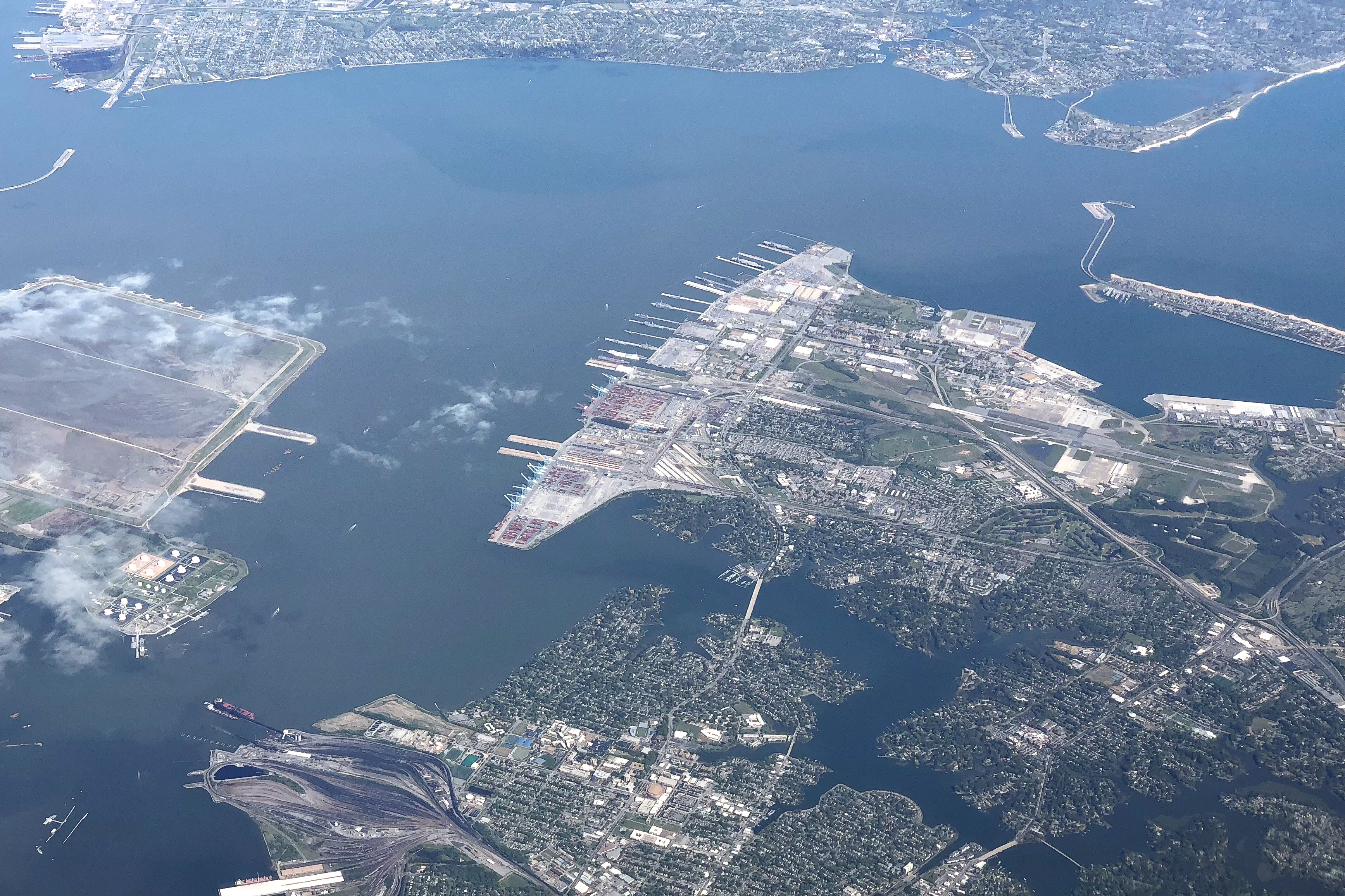
Satellite Map:
Related Photos:

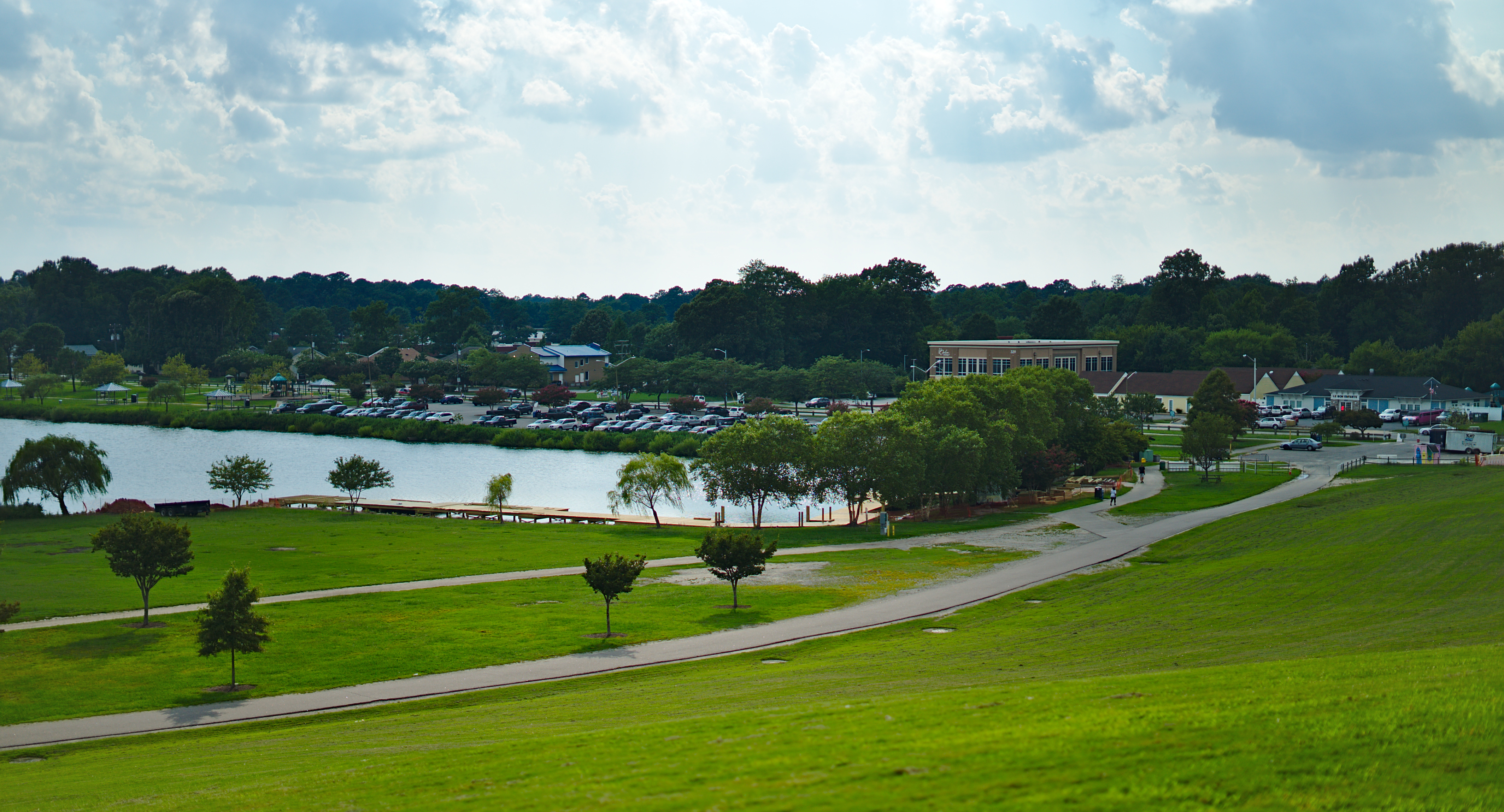
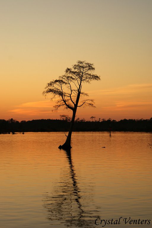
Hampton Roads After Sunset
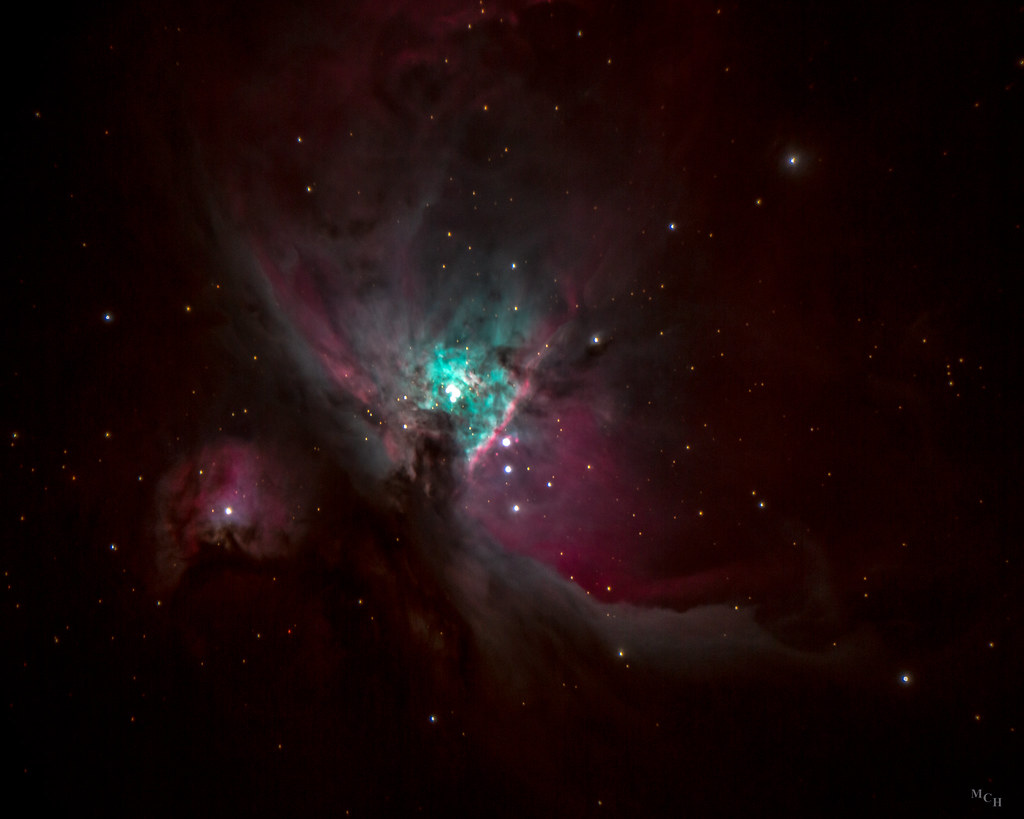
Orion Nebula
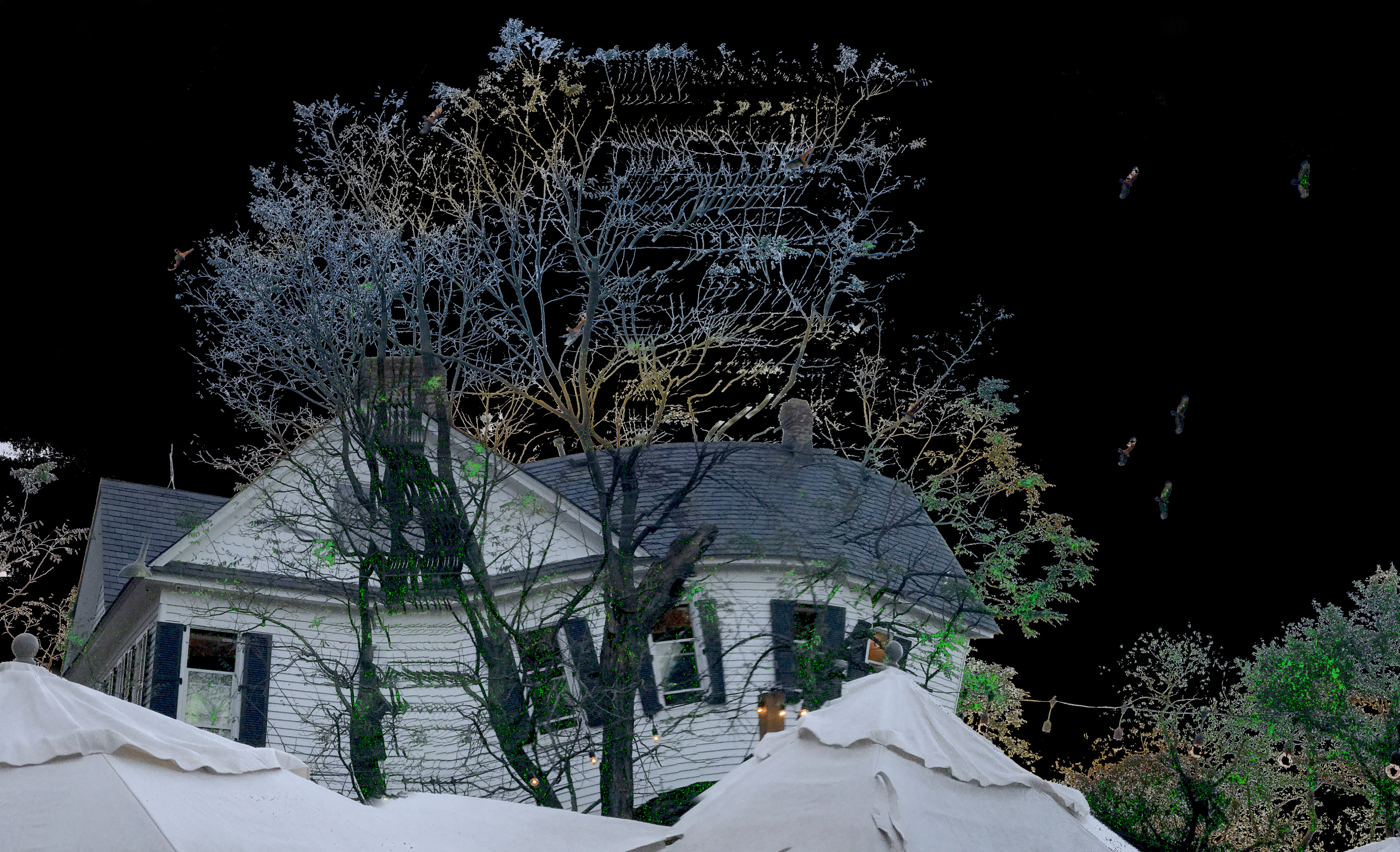
Farmhouse at Night

I Am...
Custom door needed...
Hampton Roads Snowmageddon

365/365

Chris Composite
Schmidt Cell
Palace of Limitless Distortion View 2
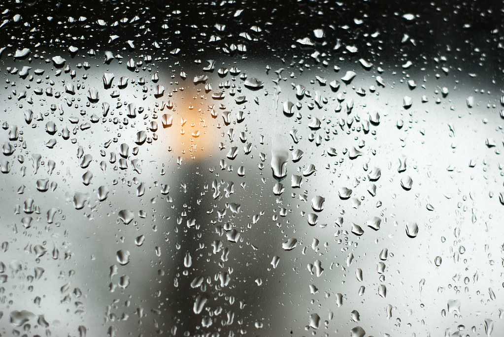
Raindrops Keep Falling
early morning light , 9/22/09

Day 123/365 *Outtake*
Norfolk and Portsmouth Belt Line RR
Not So Living Room
ELIZABETH RIVER FERRY @ SUNRISE
Last Year II

Chesapeake Expressway Bridge

Ryan In the Rain
FISDU April 2018
Jasmine Ave & Townsend Pl, Norfolk, VA 23502, United States
46 of 365

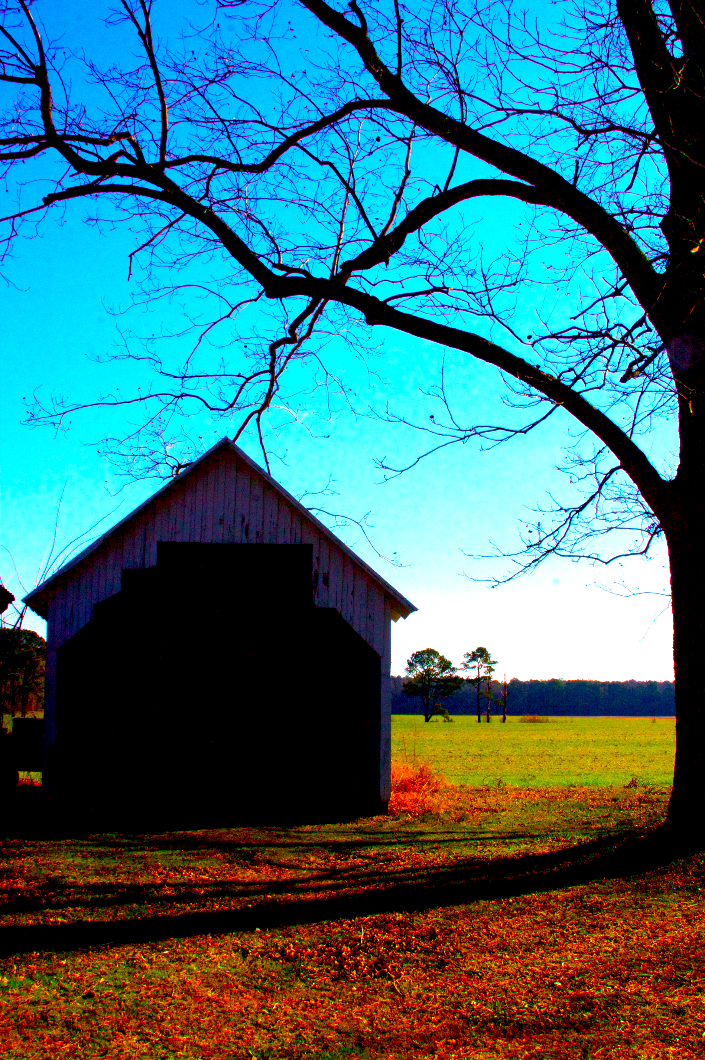
Old barn
2018-08-07 16.22.26
2018-08-07 16.22.20
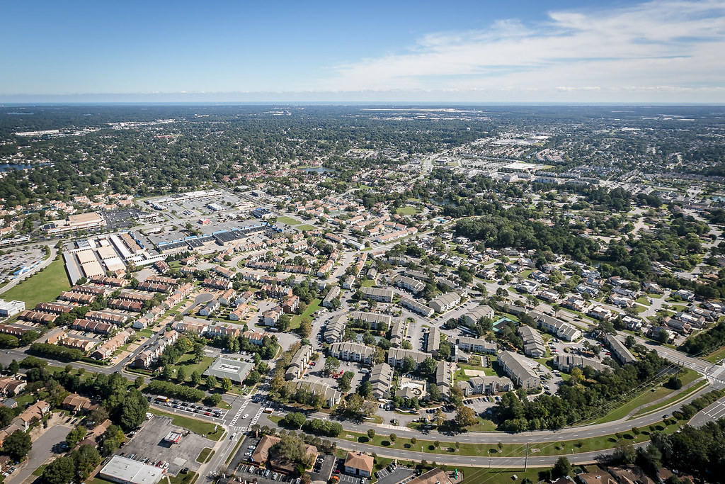
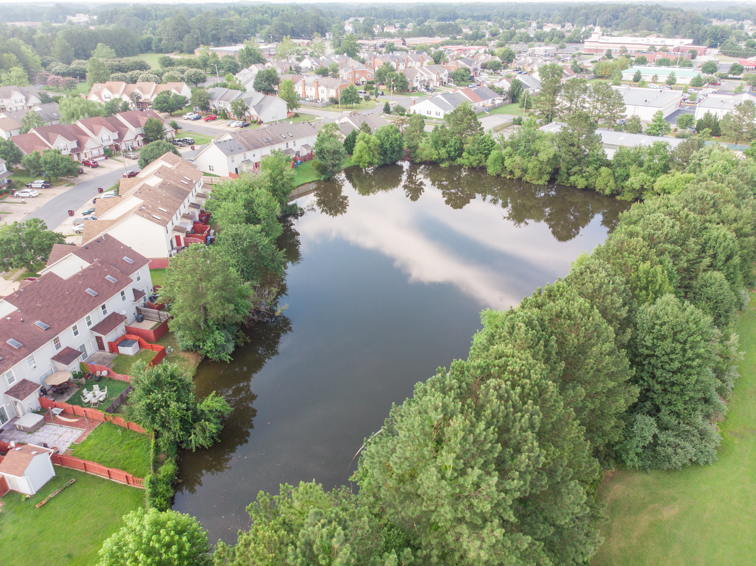
From the air
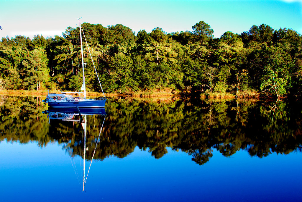
Reflections of sailing

Stumpy Lake Sunset

Regent Fall 2010 HDR 7
"Bleepbloop"
West Landing Marina Sunset
#afterrain #sunlight #eveninglight #iphone4s

Overlooked.....

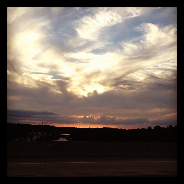
Virginia Skies

West Landing Marina

Josh at #football #practice #aeparker
HRStock Drone (588 of 776)

Industrial Nature

Waterside Path
Sunset over the Intercoastal Waterway. You can ride it all the way to FL!
Topographic Map of Mooregate Ct, Chesapeake, VA, USA
Find elevation by address:

Places near Mooregate Ct, Chesapeake, VA, USA:
904 Paddington Ct
901 Northwood Dr
101 Edgeware Ct
912 Glenda Crescent
808 High Point Ln
1332 Roanoke Arch
728 Albemarle Ct
606 Dalton Ct
620 Corapeake Dr
1000 Stockleybridge Dr
513 Currituck Dr
809 Tybourne Ct
548 Currituck Dr
551 Currituck Dr
1120 Vineyard Dr
1200 Pacels Way
461 Etheridge Rd
Carawan Lane
800 Grantham Ln
712 Donnington Dr
Recent Searches:
- Elevation of Congressional Dr, Stevensville, MD, USA
- Elevation of Bellview Rd, McLean, VA, USA
- Elevation of Stage Island Rd, Chatham, MA, USA
- Elevation of Shibuya Scramble Crossing, 21 Udagawacho, Shibuya City, Tokyo -, Japan
- Elevation of Jadagoniai, Kaunas District Municipality, Lithuania
- Elevation of Pagonija rock, Kranto 7-oji g. 8"N, Kaunas, Lithuania
- Elevation of Co Rd 87, Jamestown, CO, USA
- Elevation of Tenjo, Cundinamarca, Colombia
- Elevation of Côte-des-Neiges, Montreal, QC H4A 3J6, Canada
- Elevation of Bobcat Dr, Helena, MT, USA