Elevation of Moorefield, WV, USA
Location: United States > West Virginia > Hardy County > South Fork >
Longitude: -78.996688
Latitude: 38.9862688
Elevation: 736m / 2415feet
Barometric Pressure: 93KPa
Elevation Map:
Satellite Map:
Related Photos:
Fort Hill View

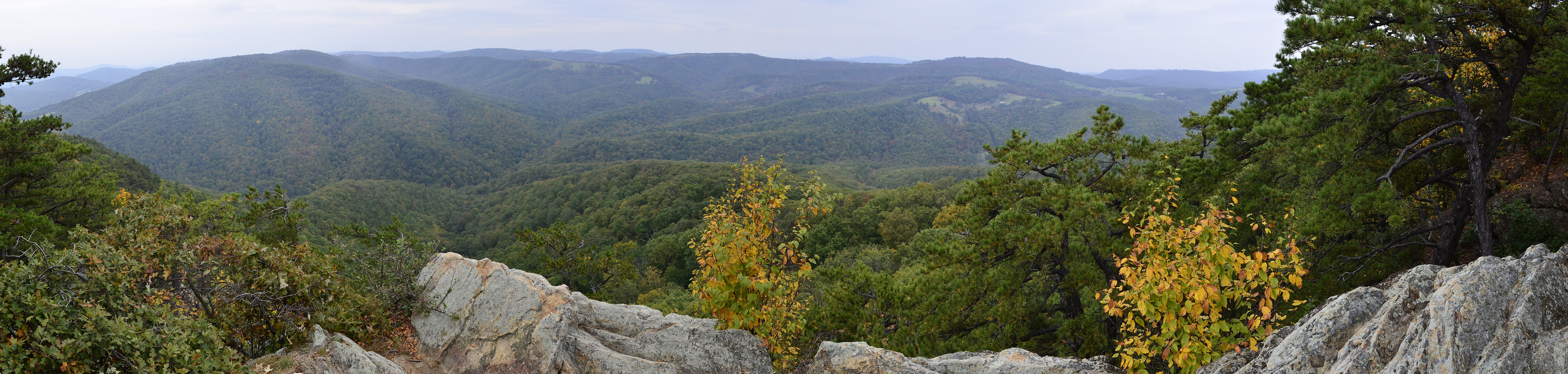
Mountain range view from Chimney Top
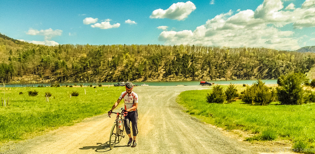
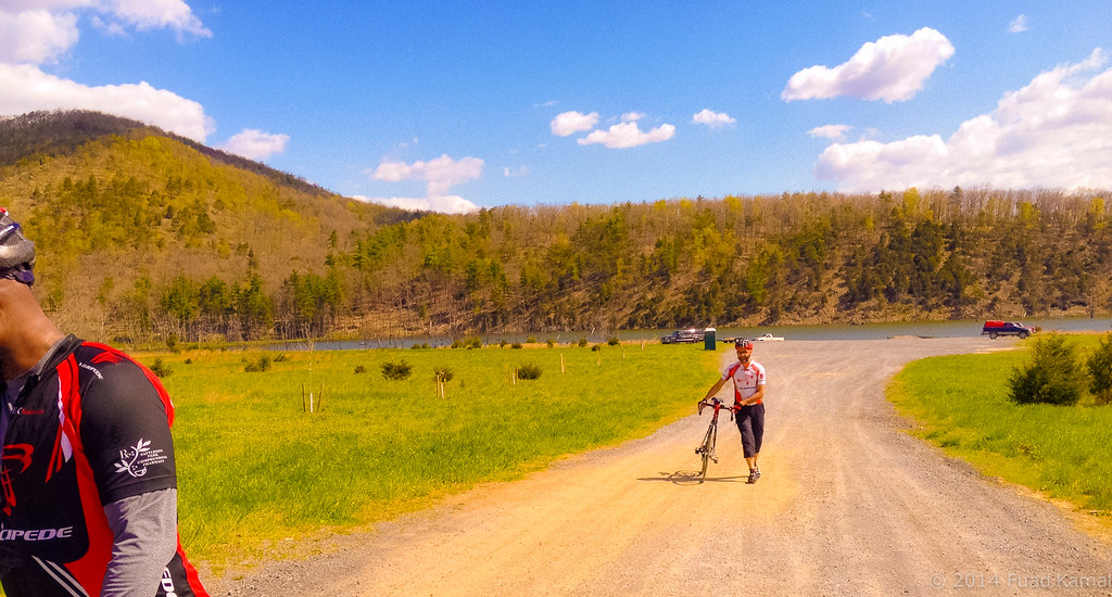
catching the view while we stop to fix a flat
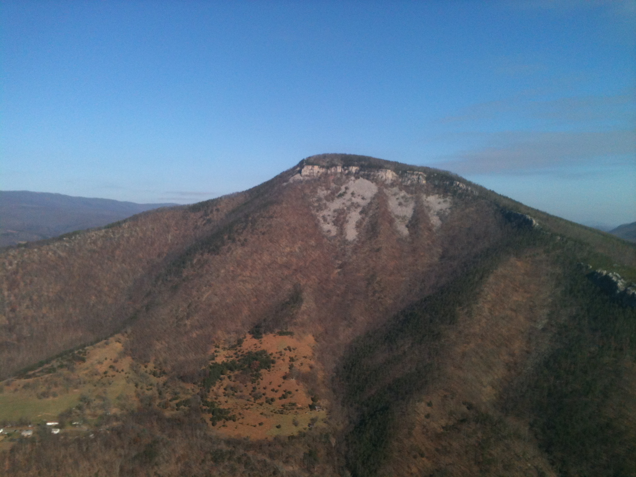
Mountain range view from Chimney Top
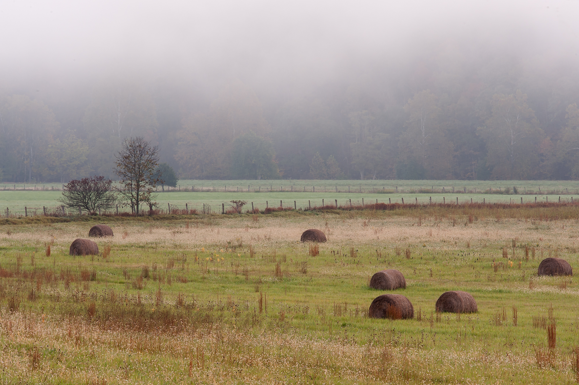
Bails of hay

Grain silo in Hardy County, W.Va.

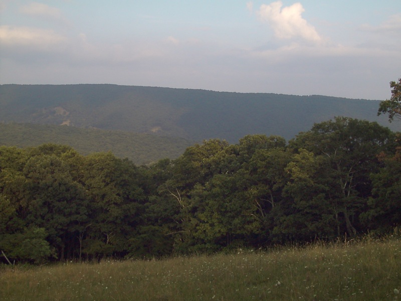
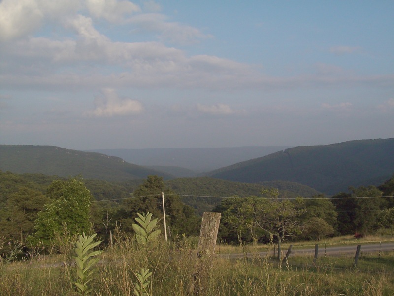
Forested mountains in Hardy County, W.Va.

Forested mountains in Hardy County, W.Va.

Forested mountains in Hardy County, W.Va.
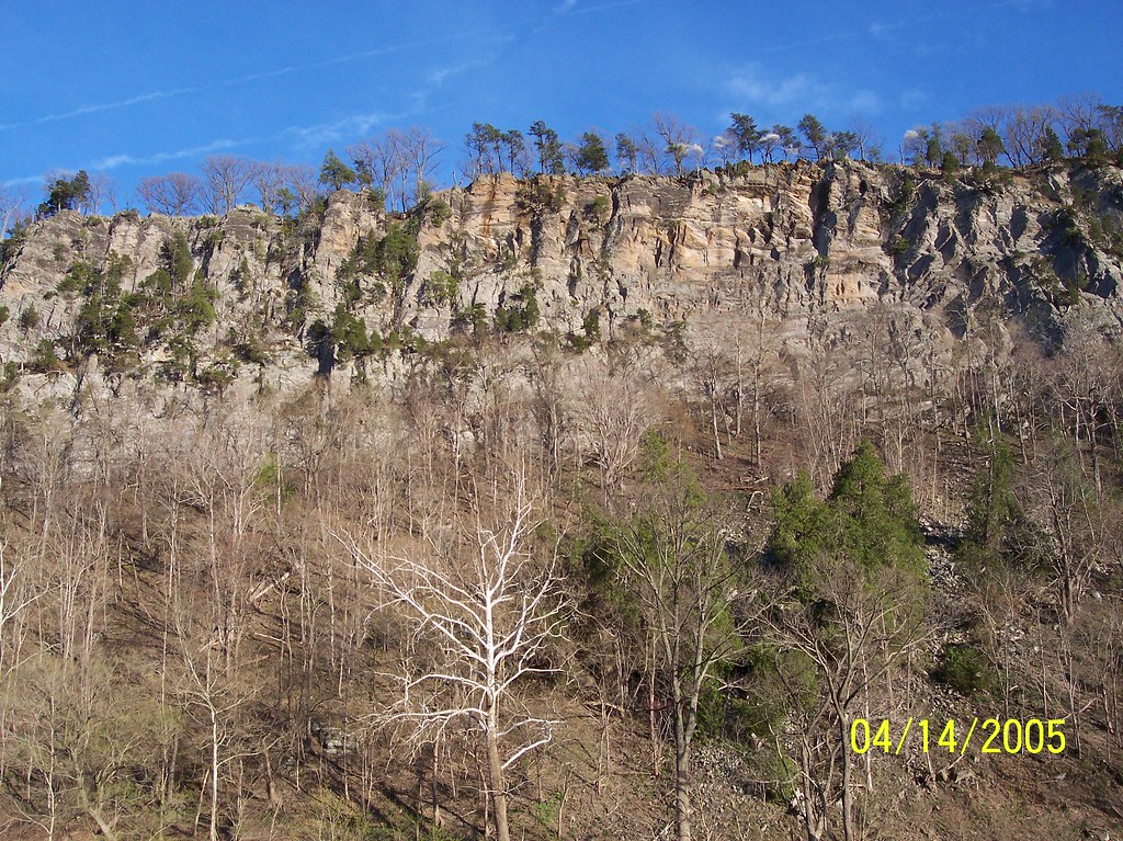
PDRM0570.JPG
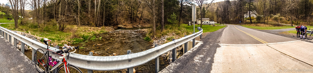
West VA 121001_103 pan s
Kimsey Run Lake

Moorefield, W.Va. Wastewater Treatment Plant 03

20090307-_MG_9669

Forested mountains in Hardy County, W.Va.

Forested mountains in Hardy County, W.Va.
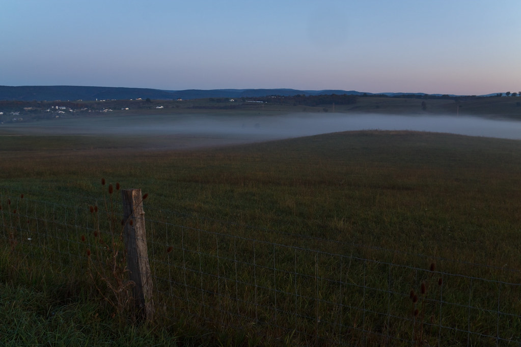
Misty Morning

20090307-_MG_9667
20090525-DSC_0791
Kimsey Run Lake
Todays 080.jpg
Clifford Hollow Bridge Image 3 11-6-2004 Photo
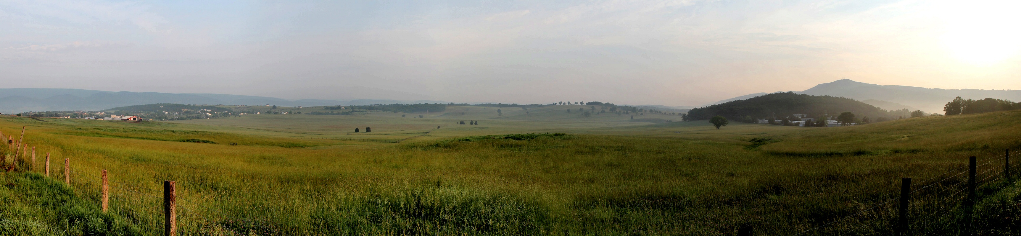
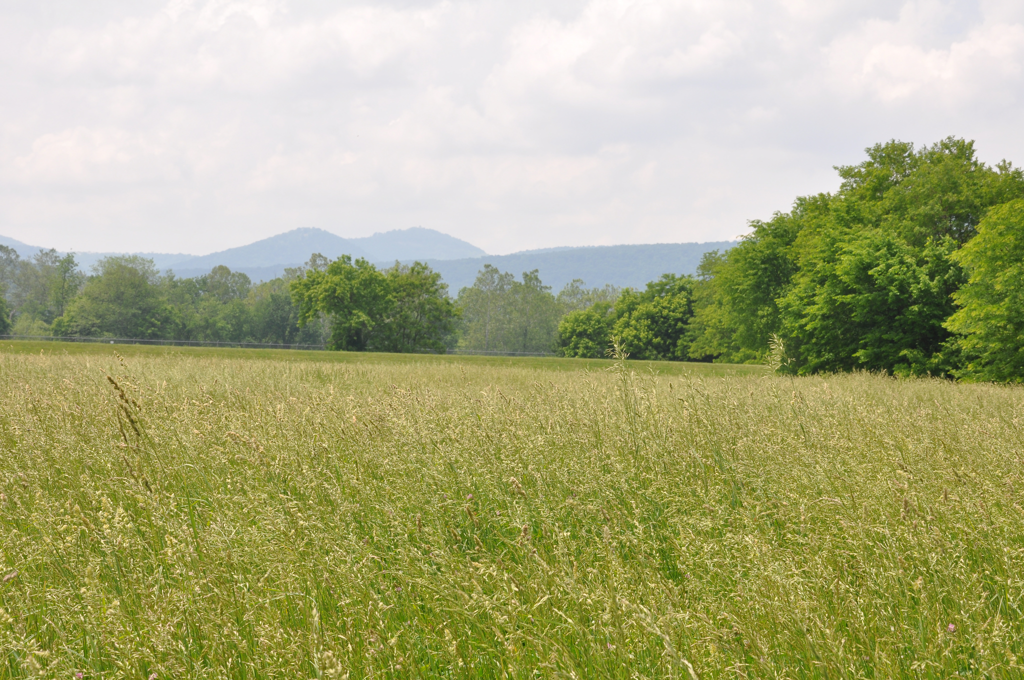
Mountains above farm
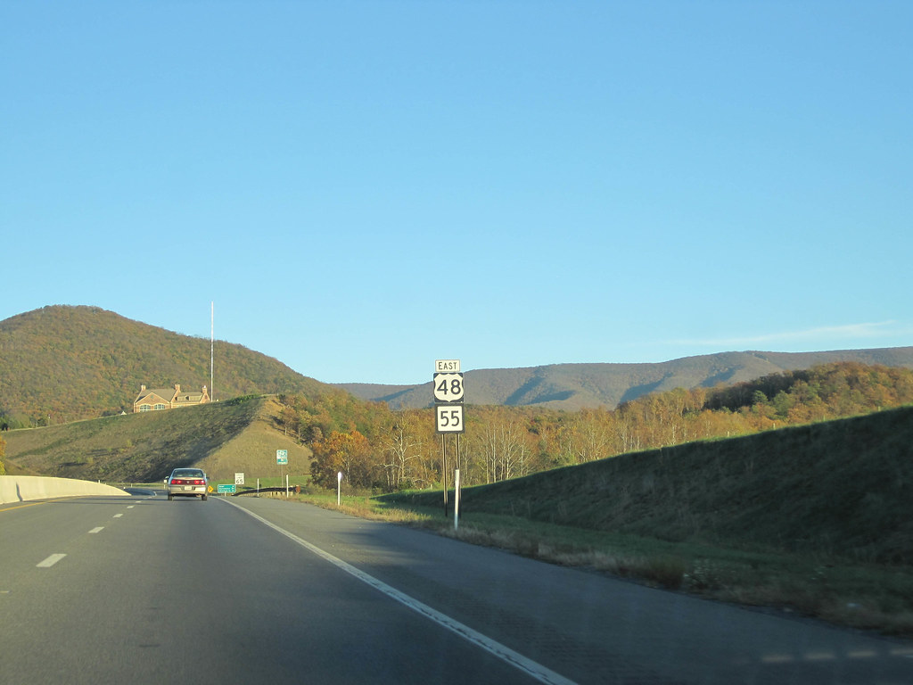
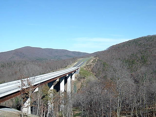
Corridor H near Moorefield, WV
Topographic Map of Moorefield, WV, USA
Find elevation by address:

Places near Moorefield, WV, USA:
4377 Us Hwy 220
South Fork
South Fork
Sherman Ridge Road
263 Mountain Meadow
263 Mountain Meadow
263 Mountain Meadow Drive
111 Hunting Ridge Rd
444 Hunting Ridge Rd
High Rock Road
High Rock Road
Bogart Drive
White Oak Pass
Lost River State Park
Shenandoah Mountain Road
Lost River
2031 Cullers Run Rd
977 E Ridge Rd
1526 Howards Lick Rd
55 Hunter Ln
Recent Searches:
- Elevation of 7 Waterfall Way, Tomball, TX, USA
- Elevation of SW 57th Ave, Portland, OR, USA
- Elevation of Crocker Dr, Vacaville, CA, USA
- Elevation of Pu Ngaol Community Meeting Hall, HWHM+3X7, Krong Saen Monourom, Cambodia
- Elevation of Royal Ontario Museum, Queens Park, Toronto, ON M5S 2C6, Canada
- Elevation of Groblershoop, South Africa
- Elevation of Power Generation Enterprises | Industrial Diesel Generators, Oak Ave, Canyon Country, CA, USA
- Elevation of Chesaw Rd, Oroville, WA, USA
- Elevation of N, Mt Pleasant, UT, USA
- Elevation of 6 Rue Jules Ferry, Beausoleil, France