Elevation of Hunting Ridge Rd, Mathias, WV, USA
Location: United States > West Virginia > Hardy County > Lost River > Mathias >
Longitude: -78.924681
Latitude: 38.931946
Elevation: 688m / 2257feet
Barometric Pressure: 93KPa
Elevation Map:
Satellite Map:
Related Photos:

The view around the pond at Winchester Medical Center

The view around the pond at Winchester Medical Center

The view around the pond at Winchester Medical Center

South Branch Potomac River

catching the view while we stop to fix a flat

The view around the pond at Winchester Medical Center

The view around the pond at Winchester Medical Center

The view around the pond at Winchester Medical Center

The view around the pond at Winchester Medical Center

Late Fall in George Washington Forest, Virginia

Distant view of Bryce Mountain Resort
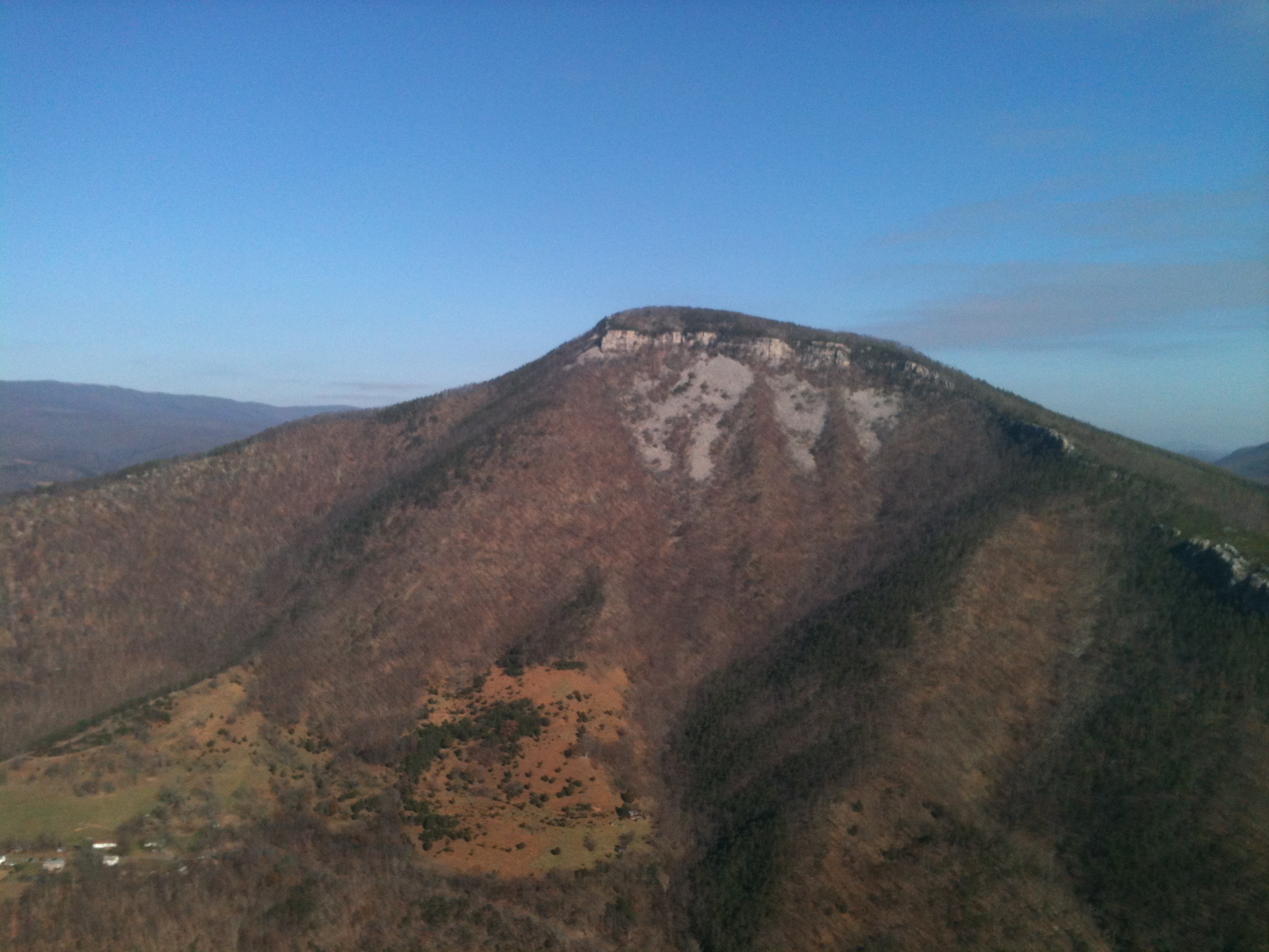
Mountain range view from Chimney Top

Mountain range view from Chimney Top

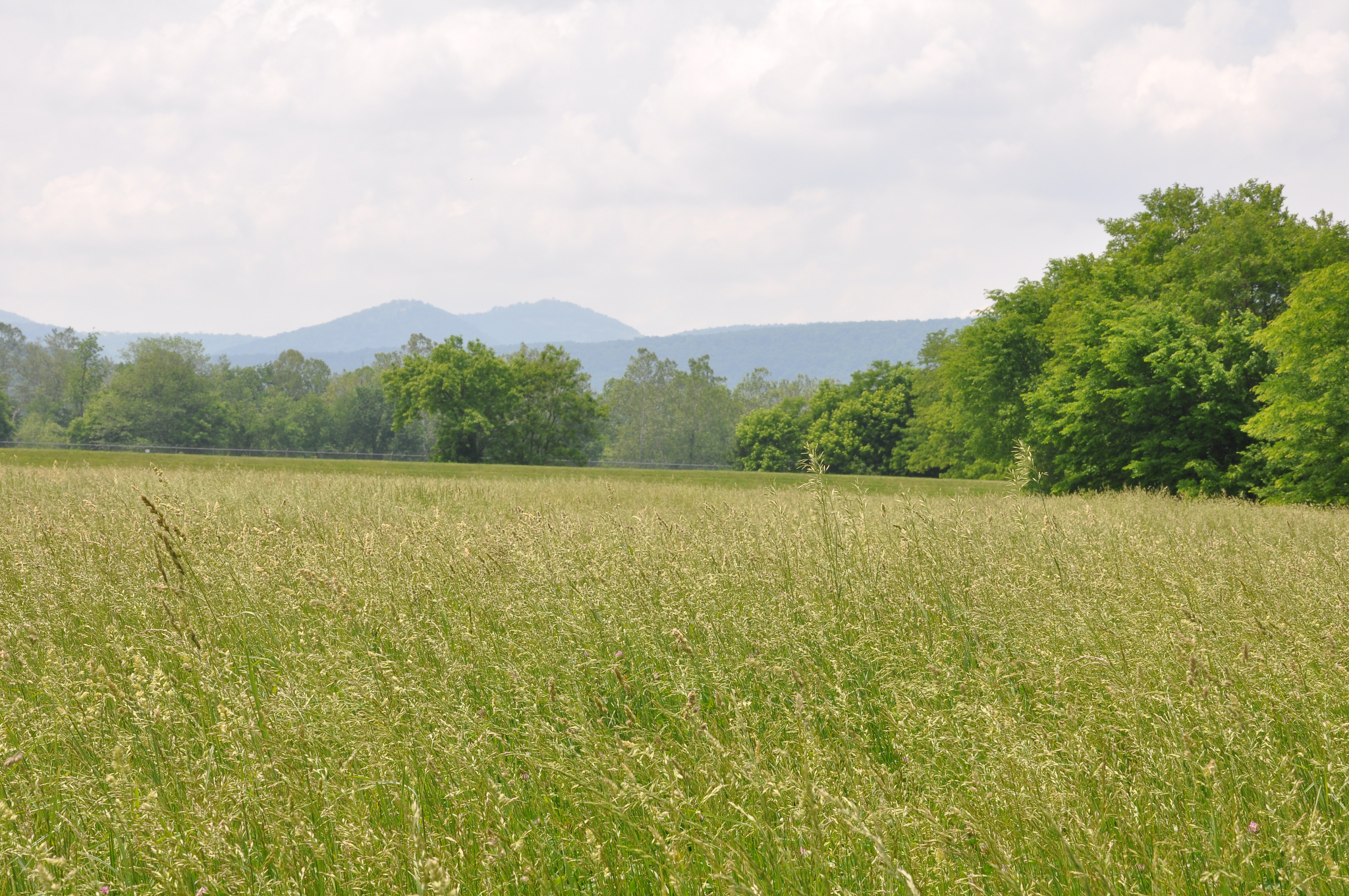
View from Lost Rivers

Ridge View
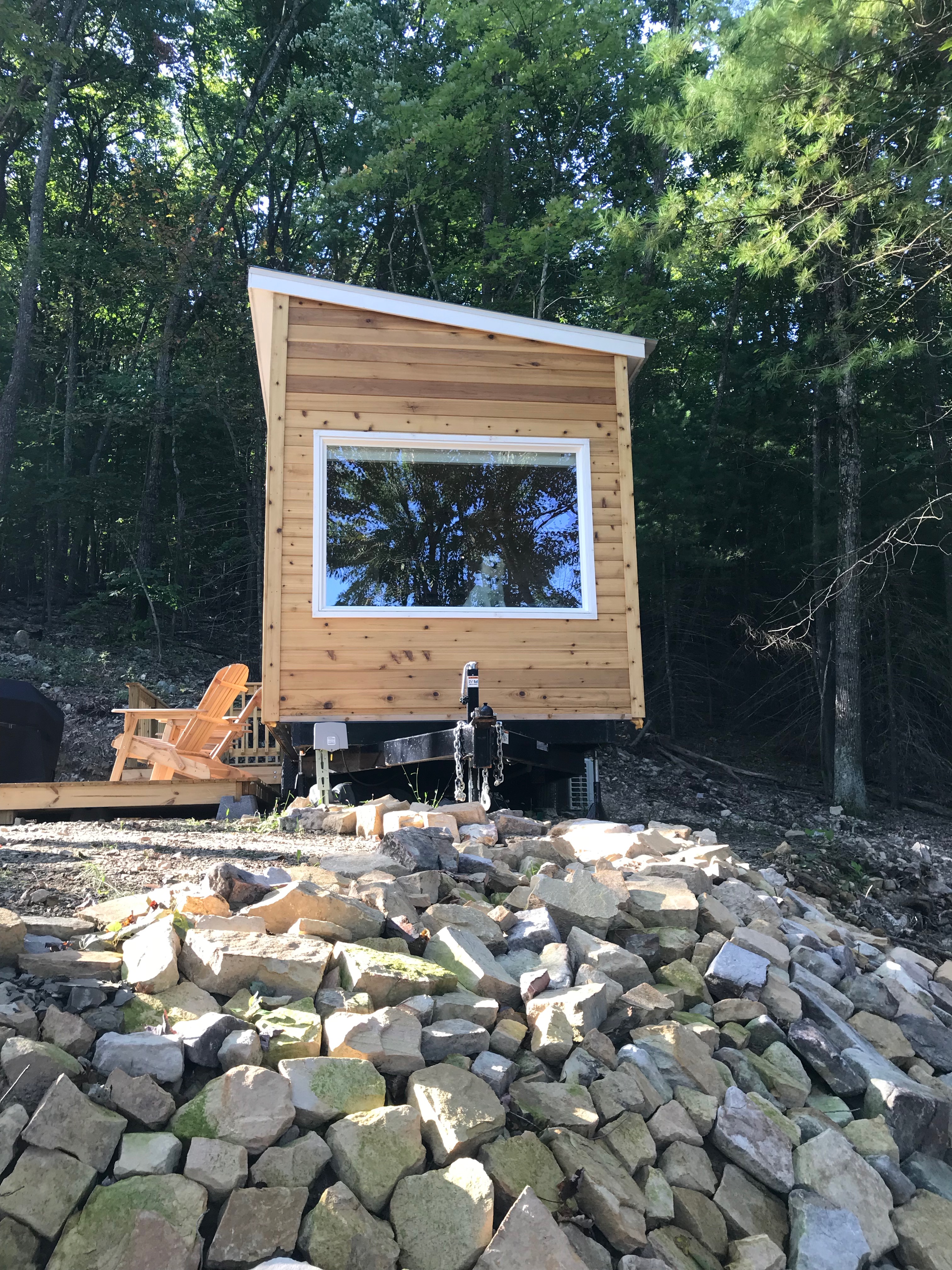
Window view of mobile home

Clouds rolling through the gap

Forested mountains in Hardy County, W.Va.

Forested mountains in Hardy County, W.Va.

Forested mountains in Hardy County, W.Va.

Moon Through Trees

Forested mountains in Hardy County, W.Va.

Forested mountains in Hardy County, W.Va.
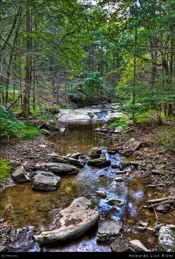
Howards Lick River

Kimsey Run Lake

Kimsey Run Lake

20090307-_MG_9667

Baker Rocks
20090525-DSC_0791

WV Sunset

DSC07161.JPG

20090307-_MG_9669

South Branch Potomac River near Petersburg, WV

Moss at Lost River State Park

Lost River Trails
Topographic Map of Hunting Ridge Rd, Mathias, WV, USA
Find elevation by address:

Places near Hunting Ridge Rd, Mathias, WV, USA:
444 Hunting Ridge Rd
263 Mountain Meadow
263 Mountain Meadow
263 Mountain Meadow Drive
Lost River State Park
Lost River
High Rock Road
High Rock Road
1526 Howards Lick Rd
55 Hunter Ln
977 E Ridge Rd
White Oak Pass
South Fork
South Fork
Mathias
2031 Cullers Run Rd
Shenandoah Mountain Road
419 Upper Cove Run Rd
419 Co Rte 20
Moorefield, WV, USA
Recent Searches:
- Elevation of Hercules Dr, Colorado Springs, CO, USA
- Elevation of Szlak pieszy czarny, Poland
- Elevation of Griffing Blvd, Biscayne Park, FL, USA
- Elevation of Kreuzburger Weg 13, Düsseldorf, Germany
- Elevation of Gateway Blvd SE, Canton, OH, USA
- Elevation of East W.T. Harris Boulevard, E W.T. Harris Blvd, Charlotte, NC, USA
- Elevation of West Sugar Creek, Charlotte, NC, USA
- Elevation of Wayland, NY, USA
- Elevation of Steadfast Ct, Daphne, AL, USA
- Elevation of Lagasgasan, X+CQH, Tiaong, Quezon, Philippines