Elevation of Montée Bussière, Lac-des-Loups, QC J0X 3K0, Canada
Location: Canada > Québec > Les Collines-de-l'outaouais Regional County Municipality > Lac-des-loups >
Longitude: -76.190507
Latitude: 45.7037816
Elevation: 226m / 741feet
Barometric Pressure: 99KPa
Elevation Map:
Satellite Map:
Related Photos:

Space invasion with fireplace and PC (1998-1999)

valley view

Checkin' out the view

An old barn in Quyon, Québec

An old barn in Quyon, Québec
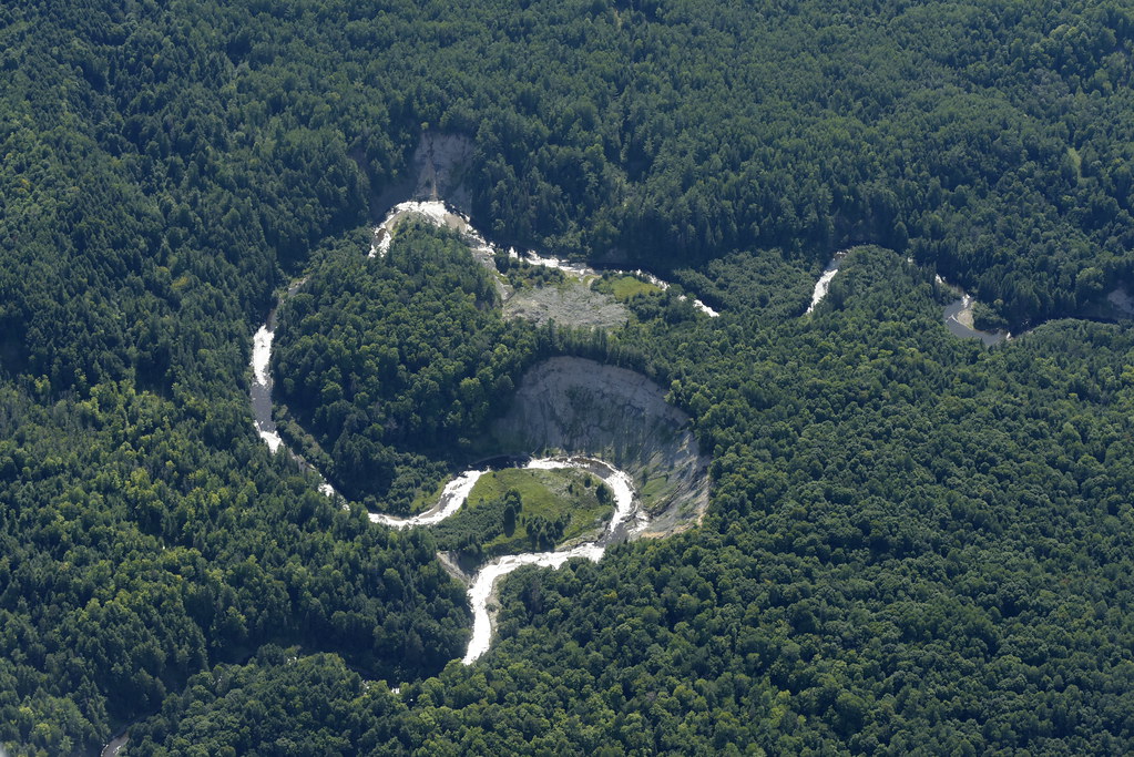
D823697 Mini Grand Canyon in the Ottawa Valley
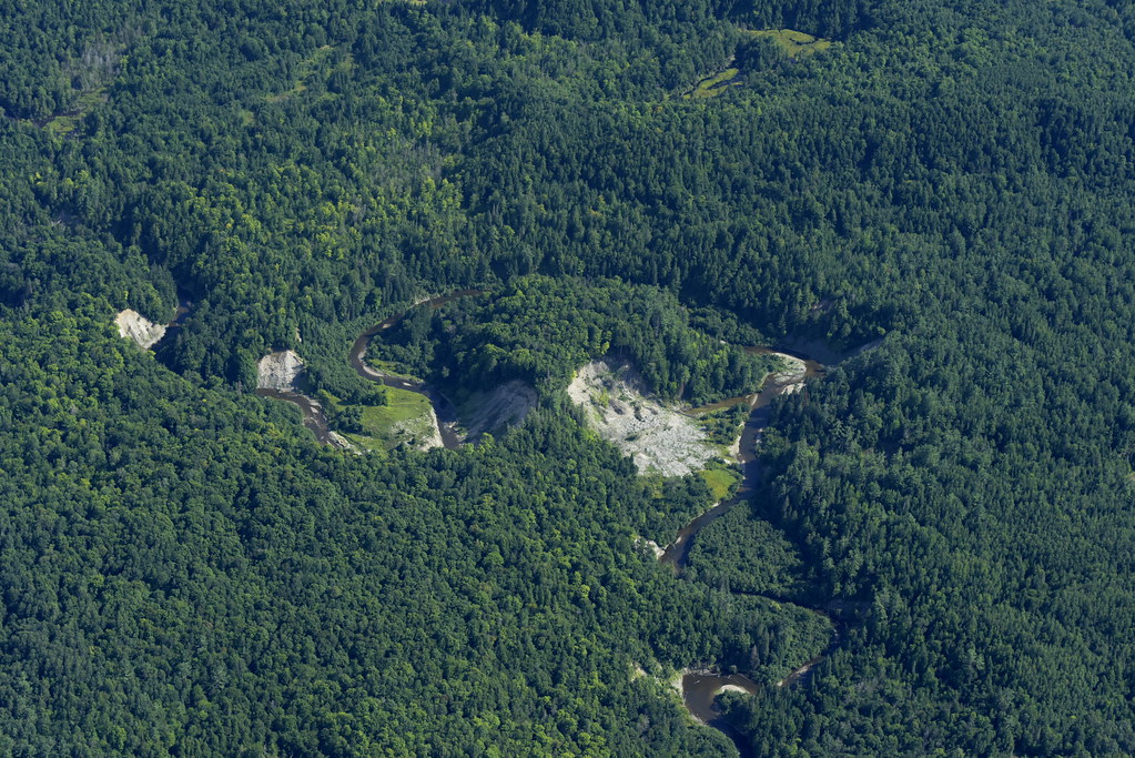
D823718 Ottawa River valley mini grand canyon

Lac Philippe bridge

Fall has arrived..

Low, Québec

Low Québec

Gatineau Park

Low, Québec

Low, Québec

Low, Québec

Low, Québec

Green forest

Sainte-Cécile-de-Masham, Qc
Sainte-Cécile-de-Masham, Qc

Low, Québec

Low, Québec

Low, Québec

Low, Québec

Camera Roll-28
Topographic Map of Montée Bussière, Lac-des-Loups, QC J0X 3K0, Canada
Find elevation by address:

Places near Montée Bussière, Lac-des-Loups, QC J0X 3K0, Canada:
52 Chemin Halverson, Lac-des-Loups, QC J0X 3K0, Canada
Lac Des Loups
Lac-des-loups
2 Chemin Lionel-beausoleil
Chemin De La Dam-brûlé
Route Principale O, La Pêche, QC J0X, Canada
Duclos
Lac Sinclair
344 Chemin Lac Sinclair
300 Qc-366
9429 Chemin Du Lac-des-loups
9429 Chemin Du Lac-des-loups
Chemin Du Lac-des-loups
Pontiac
Chemin Eardley Masham
2518 Chemin Du Lac-des-loups
2518 Chemin Du Lac-des-loups
22 Chemin Marie Noël
137 Chemin Usher
8 Route Principale E, Sainte-Cécile-de-Masham, QC J0X 2W0, Canada
Recent Searches:
- Elevation of Bydgoszcz, Poland
- Elevation of Bydgoszcz, Poland
- Elevation of Calais Dr, Del Mar, CA, USA
- Elevation of Placer Mine Ln, West Jordan, UT, USA
- Elevation of E 63rd St, New York, NY, USA
- Elevation of Elk City, OK, USA
- Elevation of Erika Dr, Windsor, CA, USA
- Elevation of Village Ln, Finleyville, PA, USA
- Elevation of 24 Oakland Rd #, Scotland, ON N0E 1R0, Canada
- Elevation of Deep Gap Farm Rd E, Mill Spring, NC, USA