Elevation of Monmouth, IA, USA
Location: United States > Iowa > Jackson County > Monmouth >
Longitude: -90.879864
Latitude: 42.07696
Elevation: 229m / 751feet
Barometric Pressure: 99KPa
Elevation Map:
Satellite Map:
Related Photos:

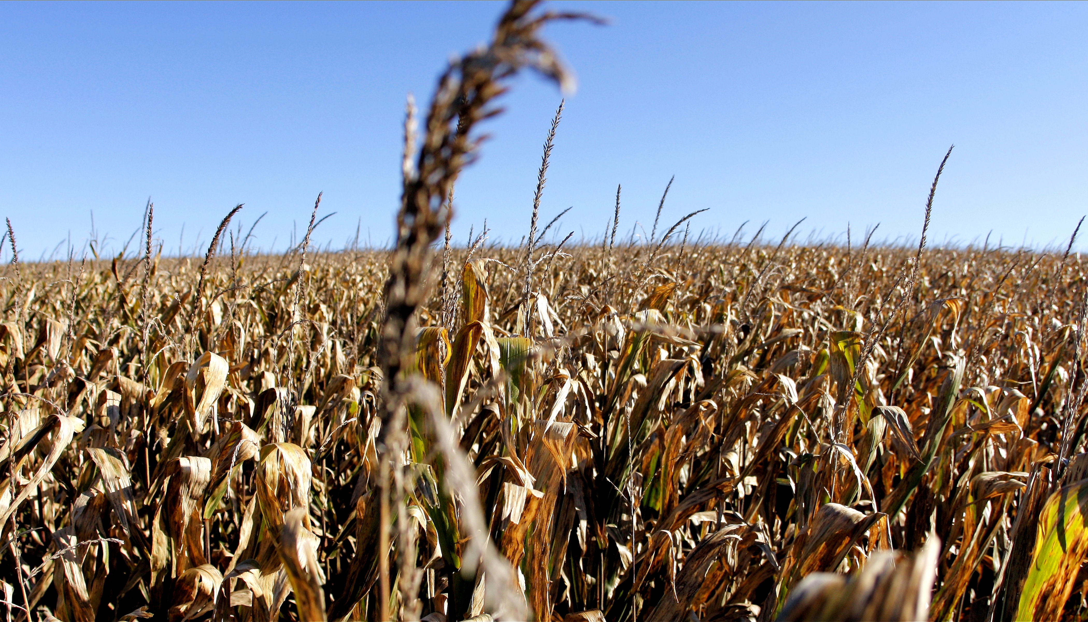
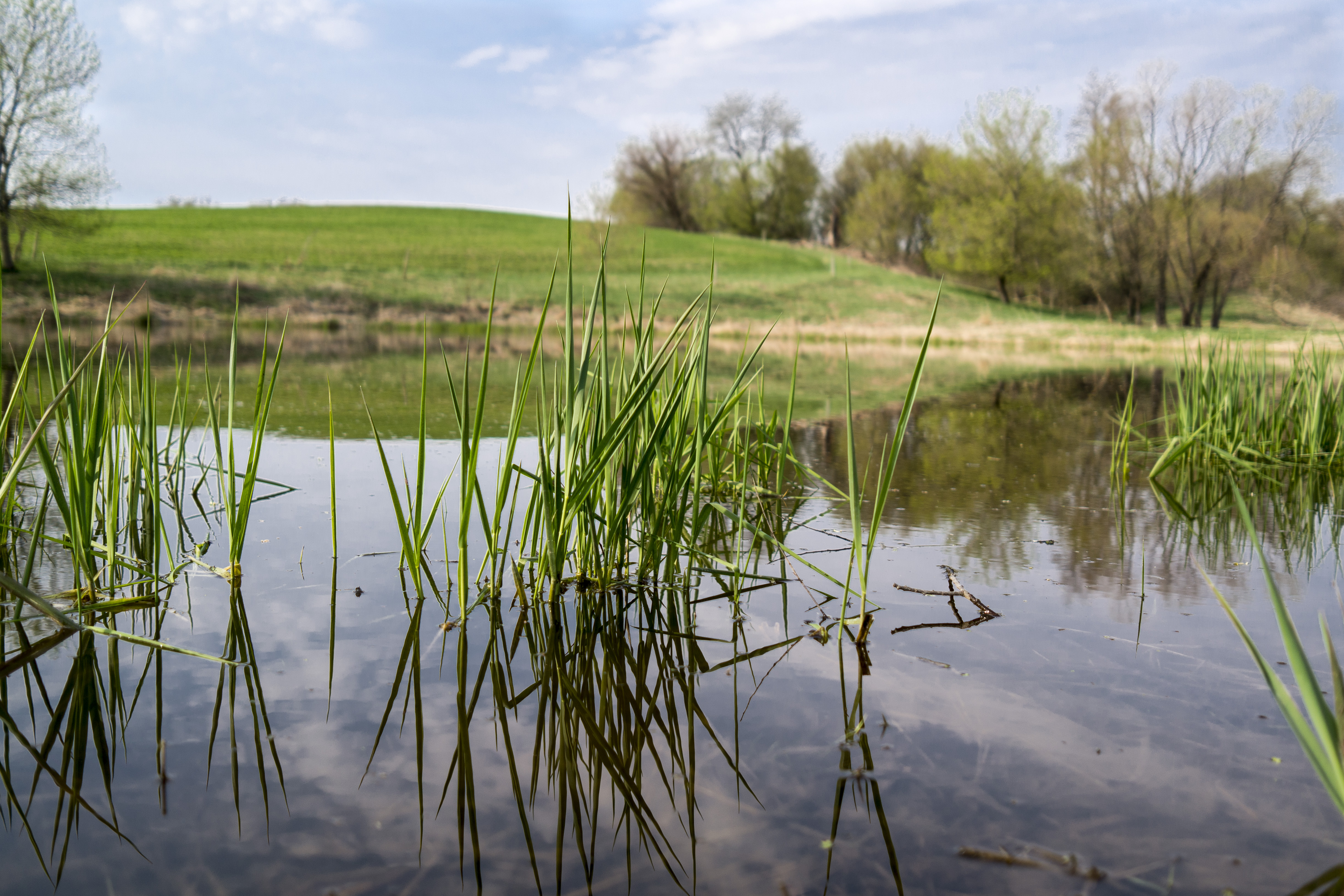
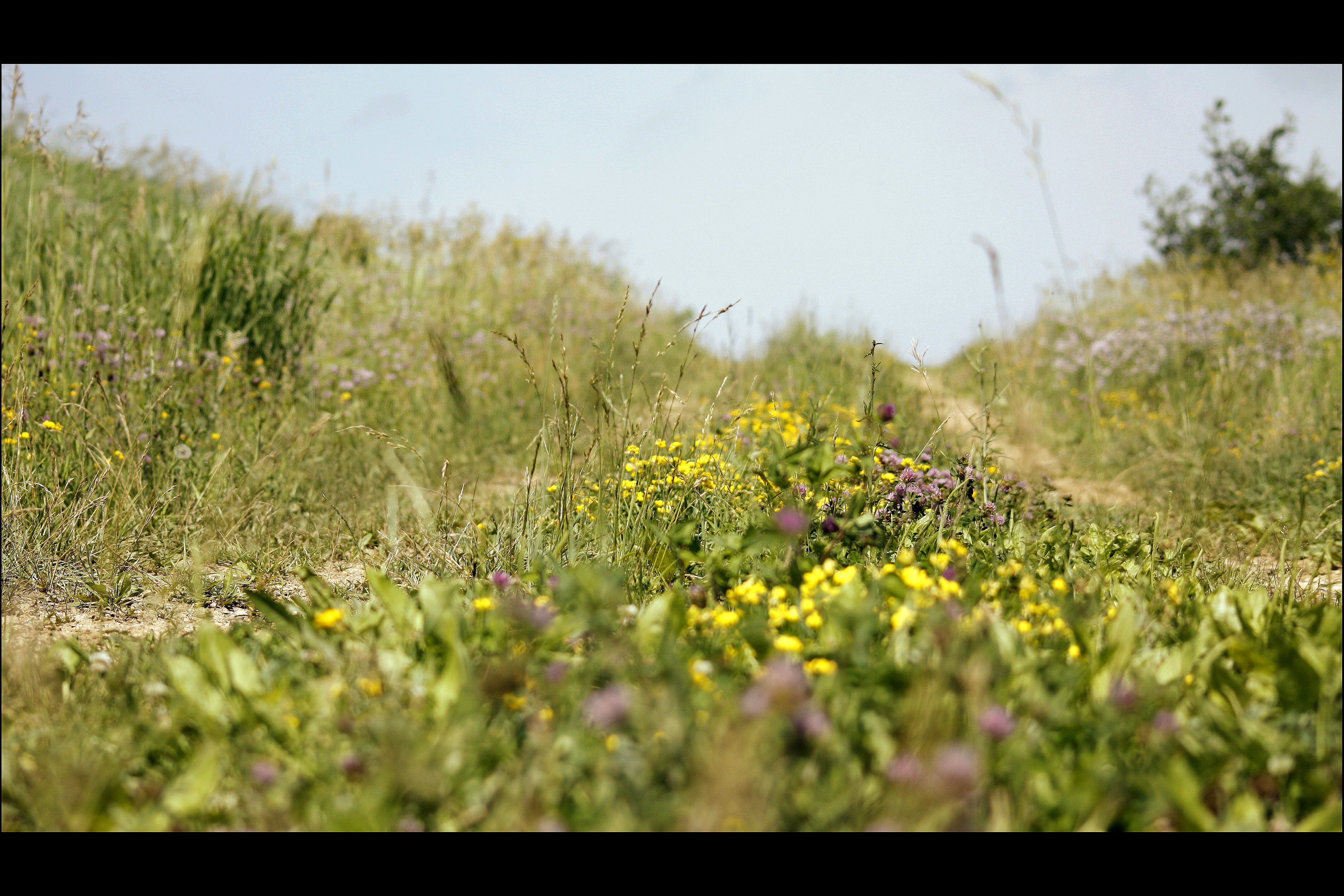
Iowa Sky and Field

Kayak with a view

3.13.2010 <brambach> 58/365
Country Flowers
5.28.2010 <vineyard> 134/365

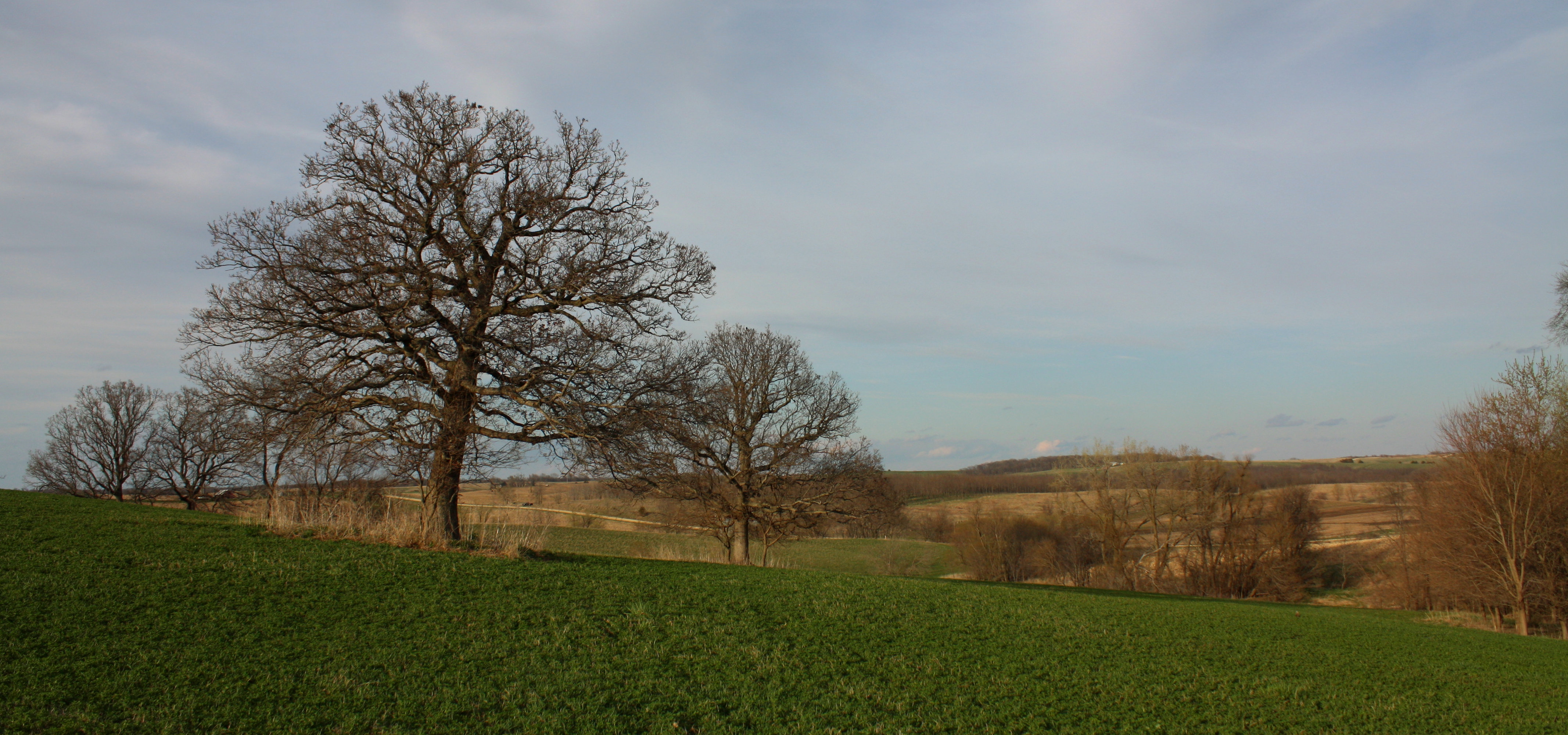
Farm Trees
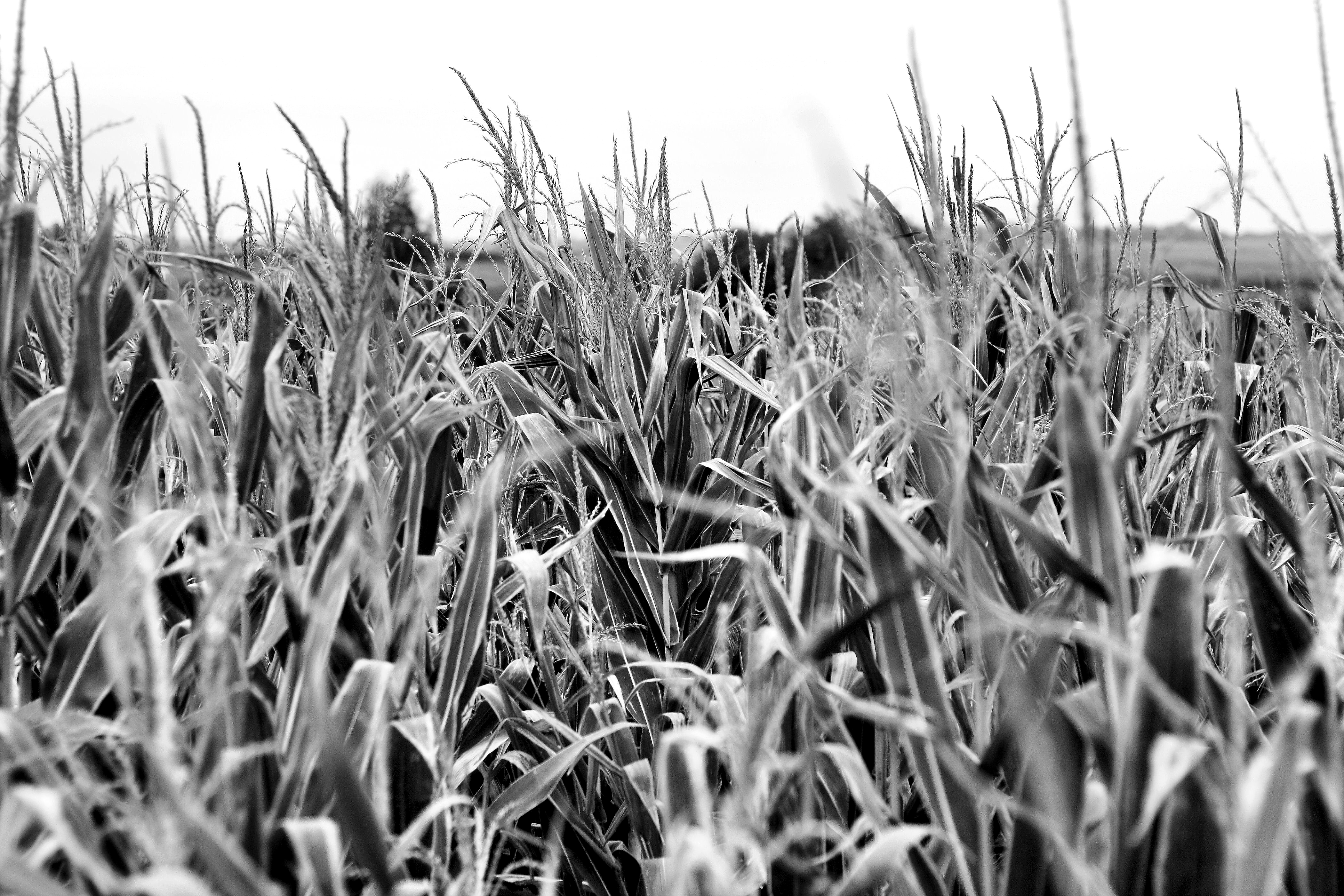
5.29.2010 <corn> 135/365

4.3.2010 <fence> 79/365

Wayward Farms
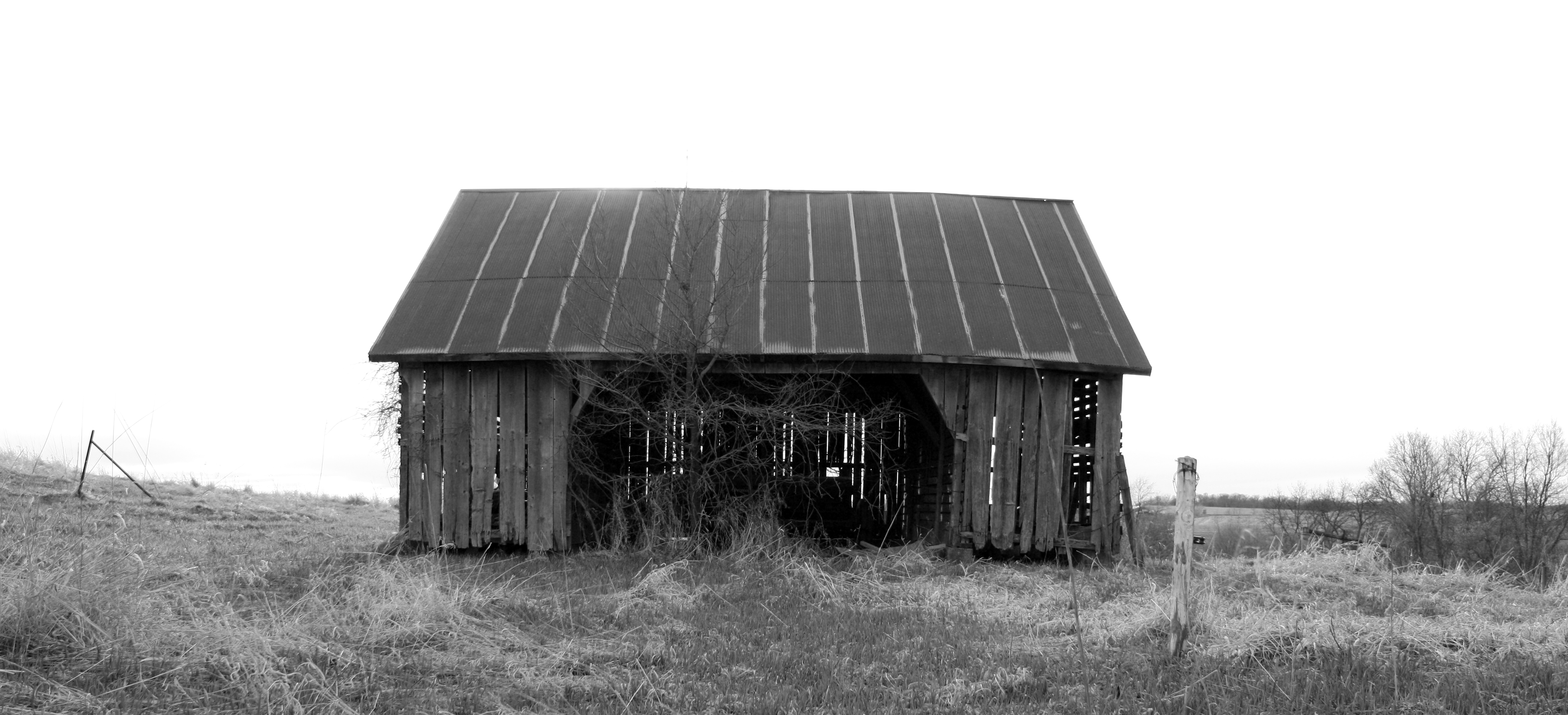
Collapsed Barn

Adeena and a pink ball

More of Adeena
3.14.2010 <corn> 59/365

Abandoned Churches
Farm Shed

Mom's 80th Birthday
Iowa Horizons
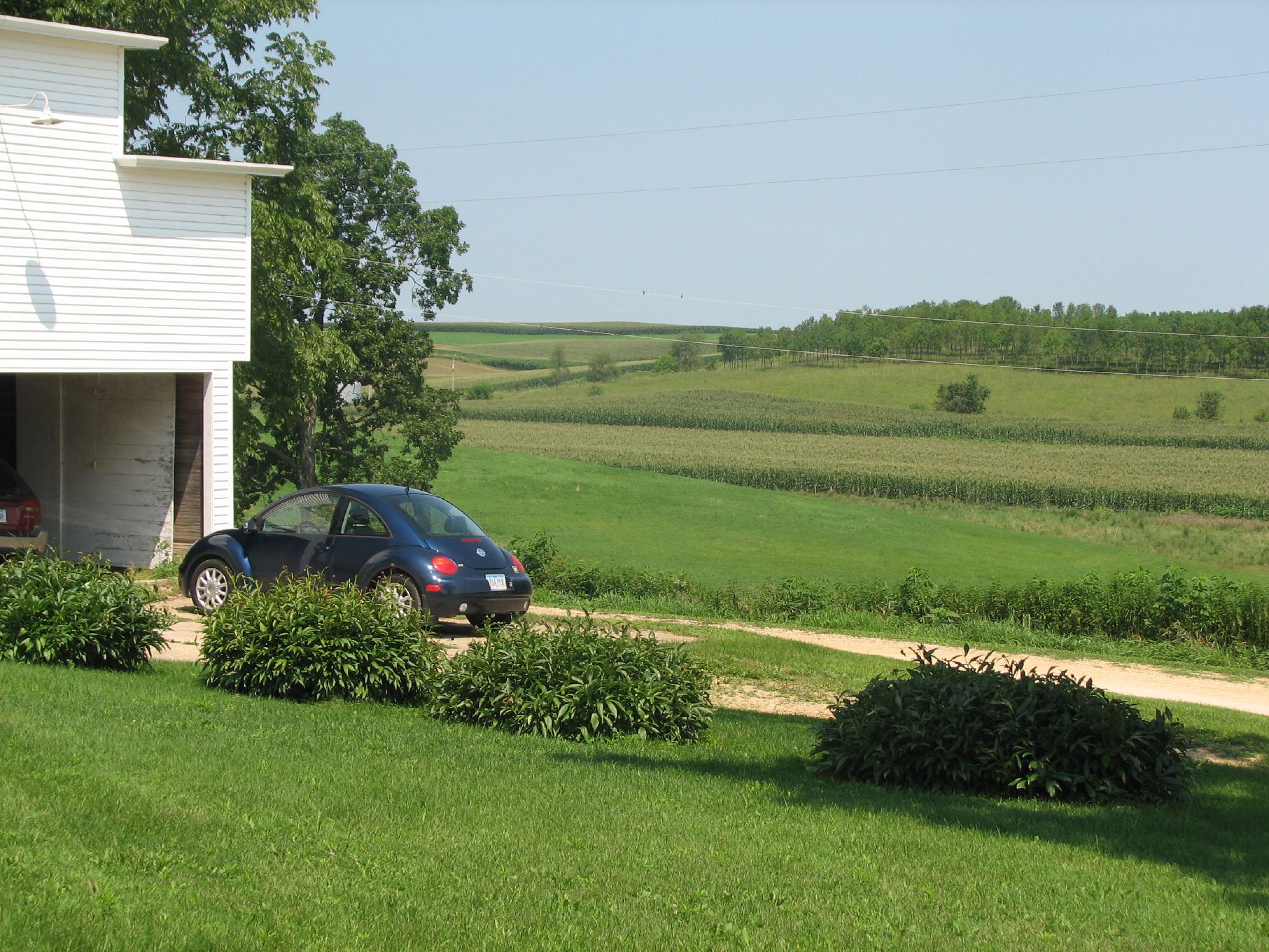
A Weekend at the Farm

Ford Tractor

Farm Trees

Wayward Farms
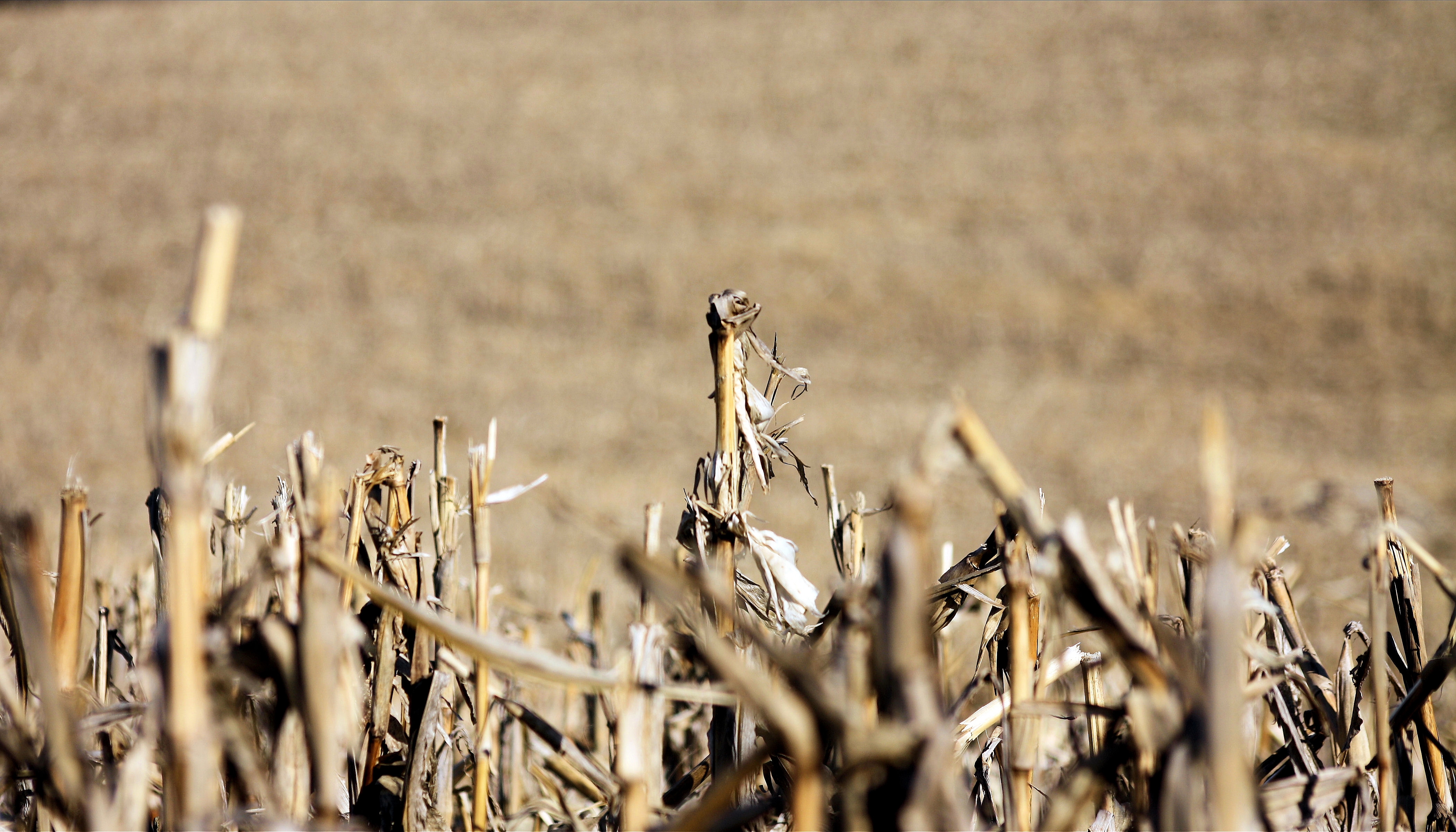
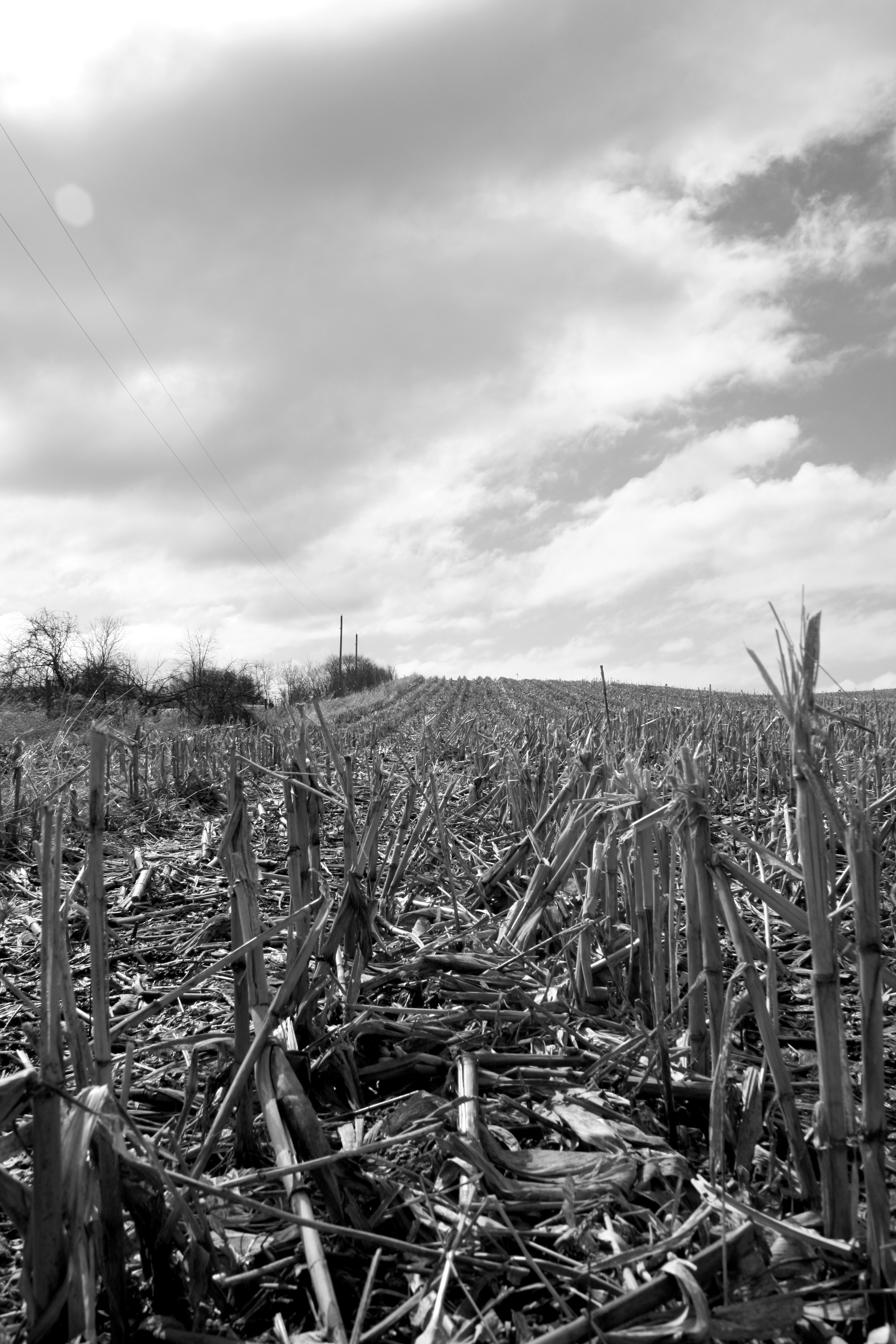
Corn Stubble
Harvest - 39/52
Weekend at the Farm
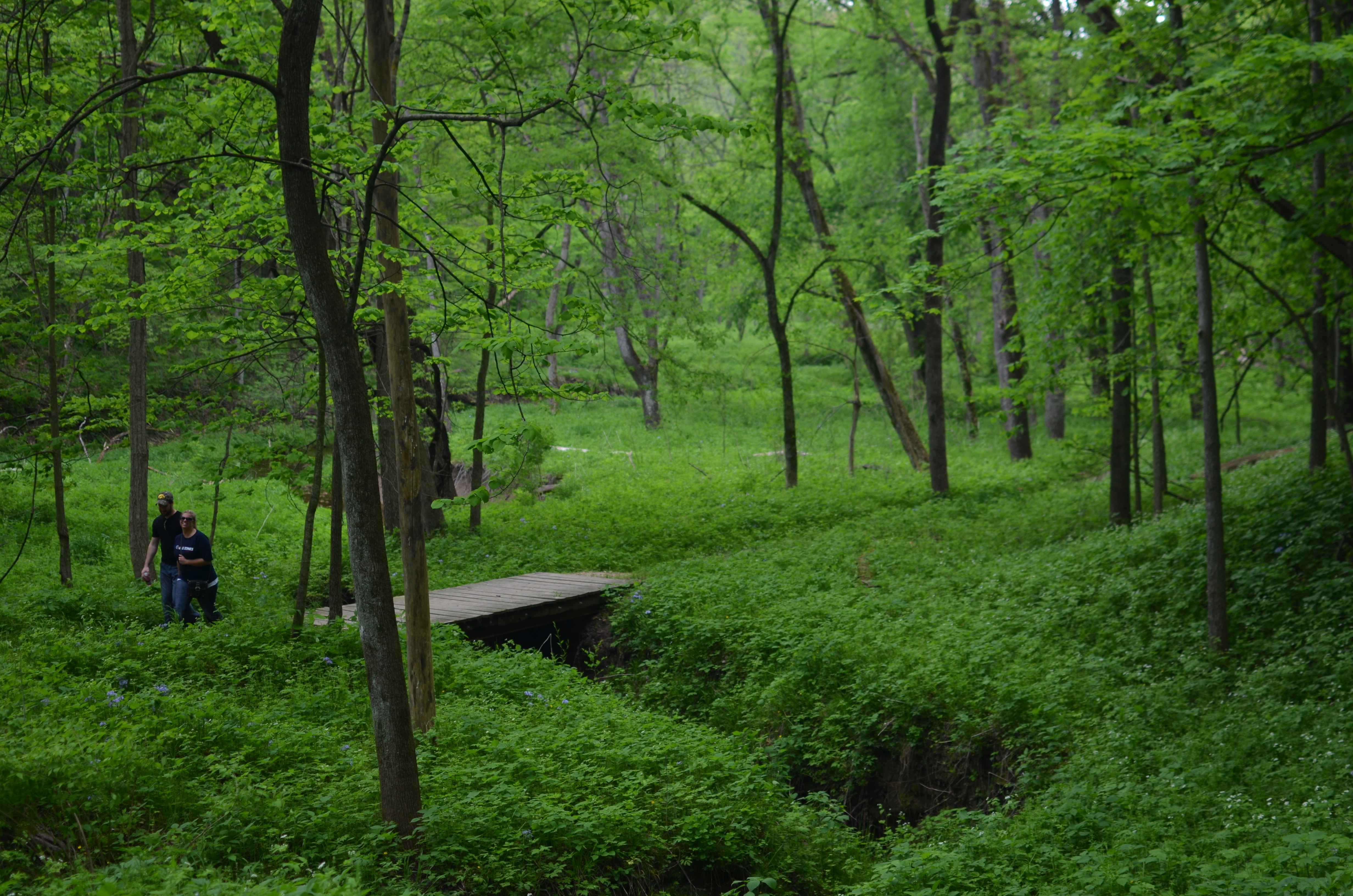
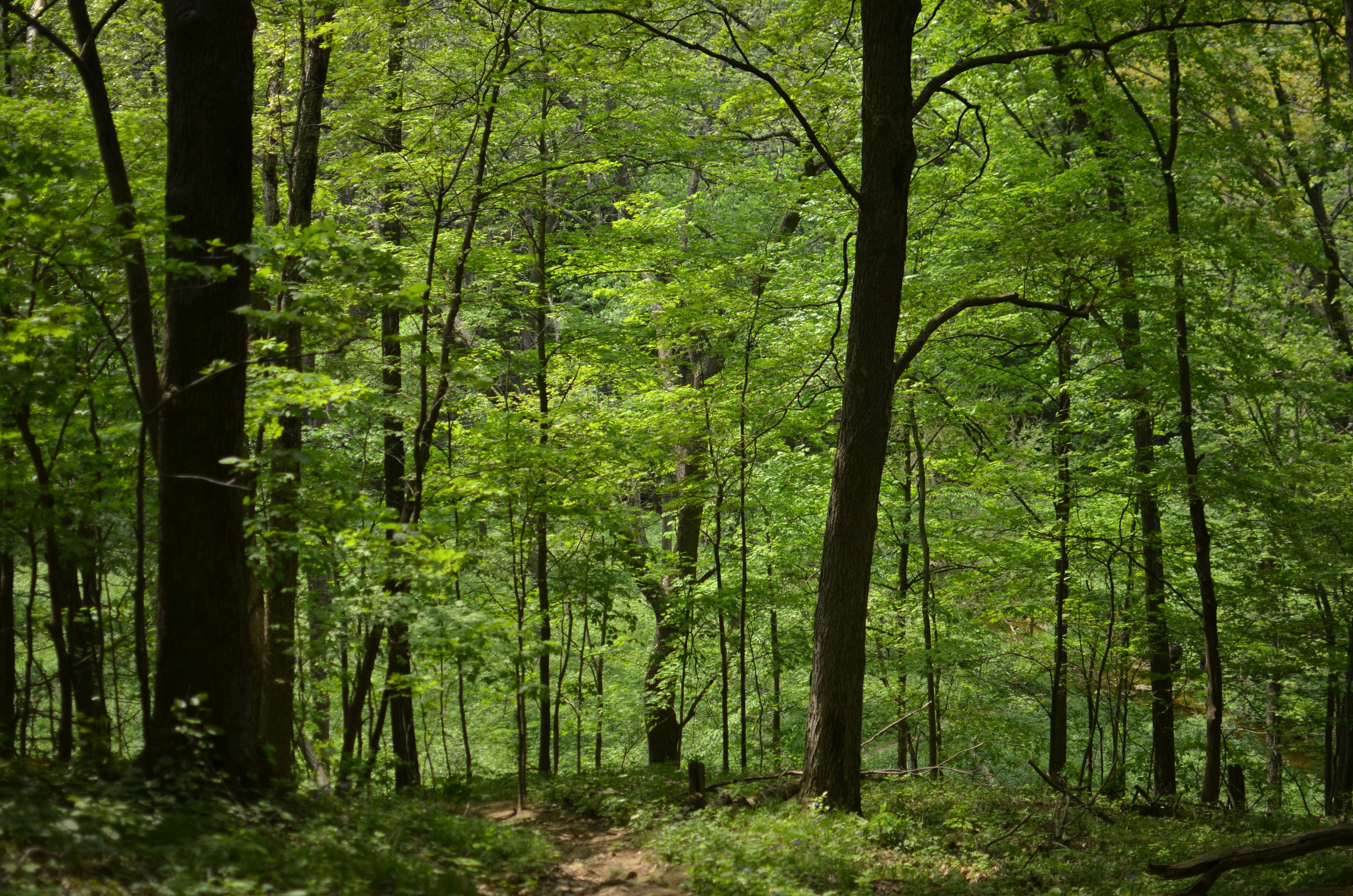
Pine Valley Nature Area
Weekend at the Farm
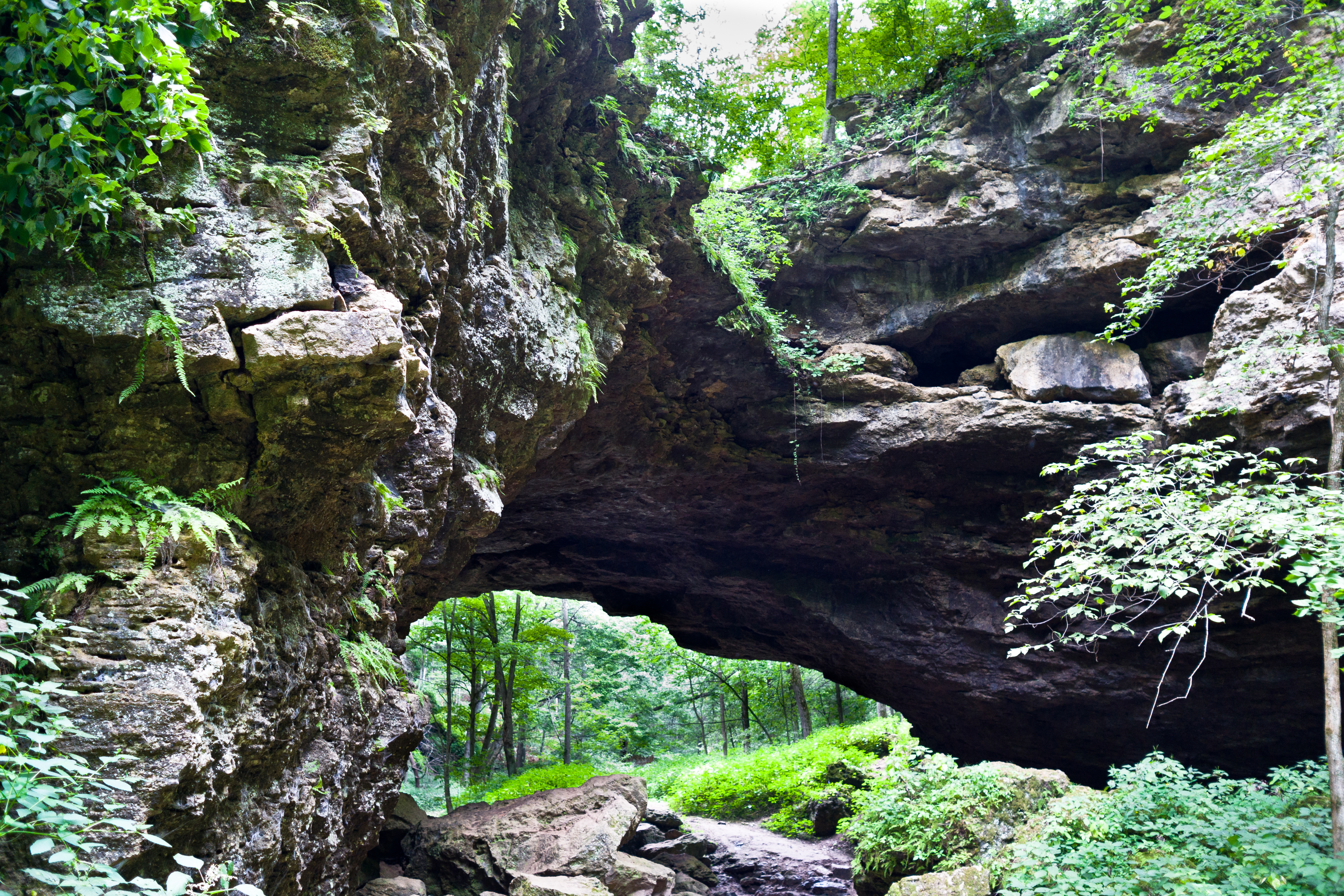
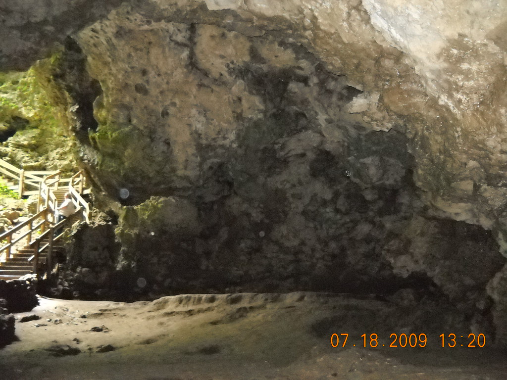
Maquoketa Caves State Park
Wait Up

Stuck on You
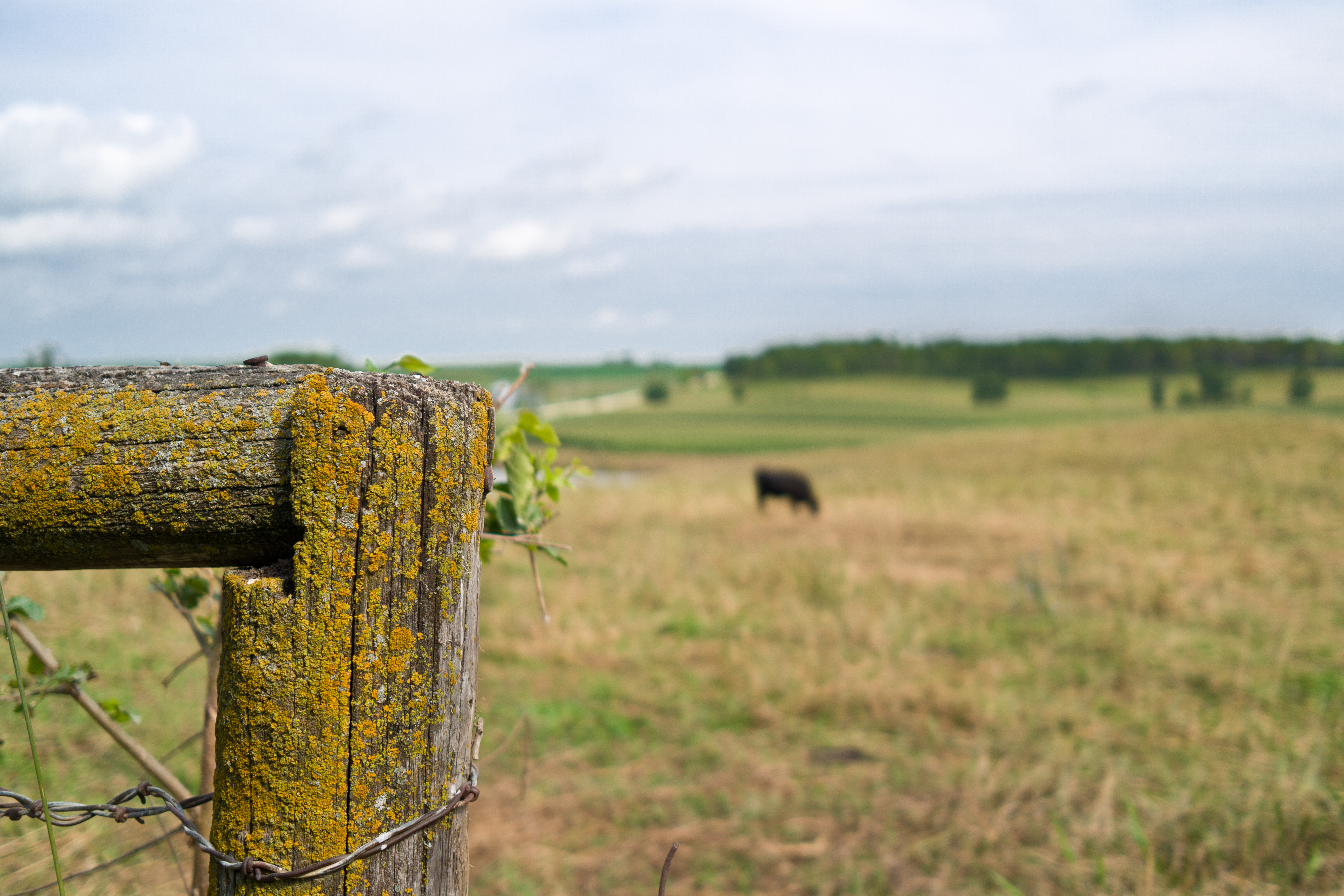
Fence Post II
Black and White Experiment

Maquoketa River

Christmas Day Road
Maquoketa Caves 021
Maquoketa Caves

Christmas Day Road
Maquoketa Caves 594
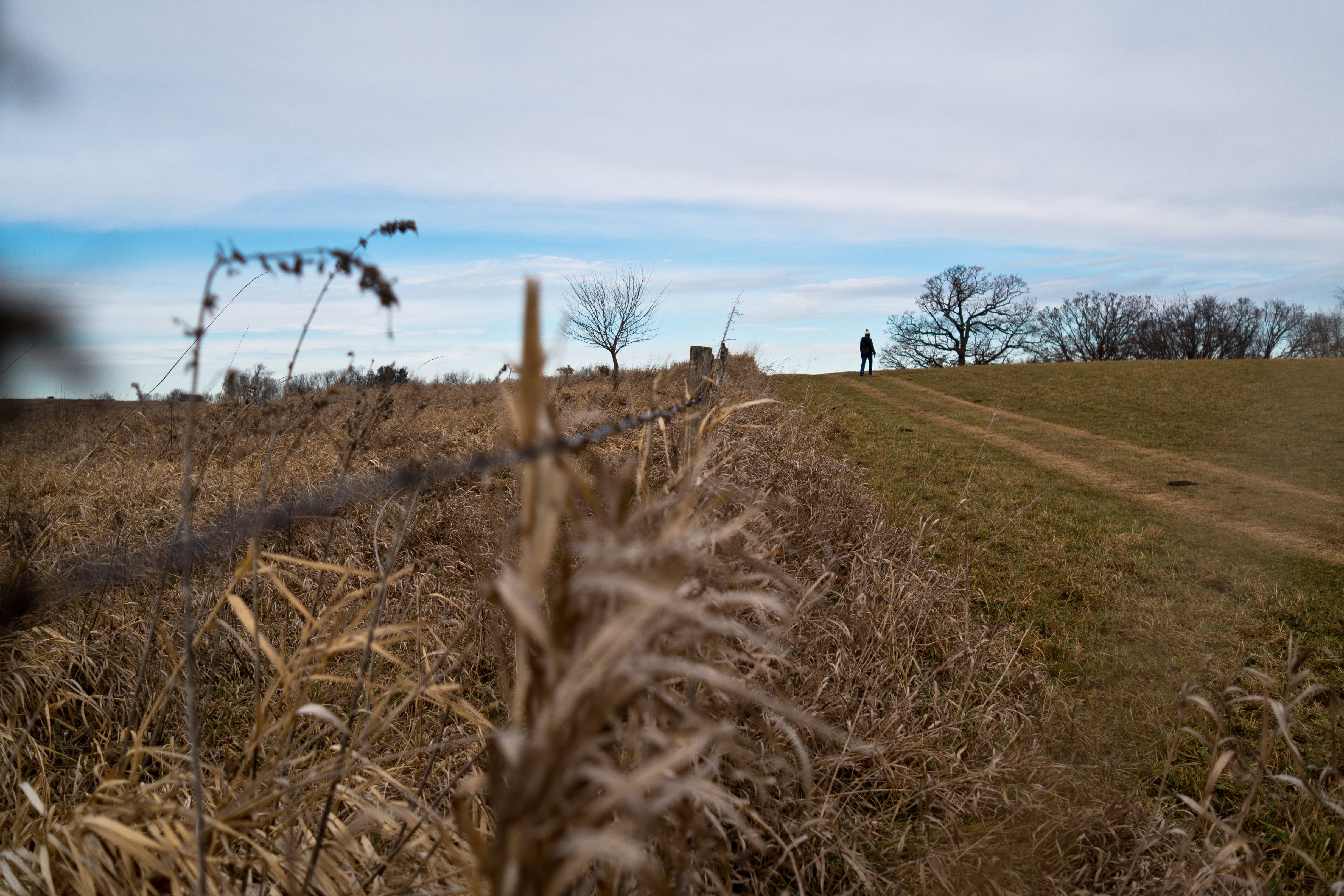
A Morning Walk Along a Farm Path

Tabor Home VIneyard & Winery

Maquoketa Caves 621
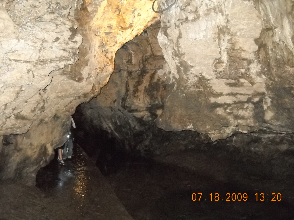
Maquoketa Caves
Topographic Map of Monmouth, IA, USA
Find elevation by address:

Places in Monmouth, IA, USA:
Places near Monmouth, IA, USA:
N Division St, Monmouth, IA, USA
Monmouth
Brandon
Sharon
92nd Ave, Maquoketa, IA, USA
Oxford Junction
Wyoming
W Main St, Wyoming, IA, USA
Lost Nation
Long Ave, Lost Nation, IA, USA
Oxford
Oxford Mills
Scotch Grove
Lowden
McKinley Ave, Lowden, IA, USA
Wheatland
E Jefferson St, Wheatland, IA, USA
⛉ Industrial Park Dr, Clarence, IA, USA
Clarence
Jones County
Recent Searches:
- Elevation of Bydgoszcz, Poland
- Elevation of Bydgoszcz, Poland
- Elevation of Calais Dr, Del Mar, CA, USA
- Elevation of Placer Mine Ln, West Jordan, UT, USA
- Elevation of E 63rd St, New York, NY, USA
- Elevation of Elk City, OK, USA
- Elevation of Erika Dr, Windsor, CA, USA
- Elevation of Village Ln, Finleyville, PA, USA
- Elevation of 24 Oakland Rd #, Scotland, ON N0E 1R0, Canada
- Elevation of Deep Gap Farm Rd E, Mill Spring, NC, USA