Elevation of Monahan Mountain, Montana, USA
Location: United States > Montana > Powell County >
Longitude: -113.15200
Latitude: 47.2693852
Elevation: 2458m / 8064feet
Barometric Pressure: 75KPa
Elevation Map:
Satellite Map:
Related Photos:

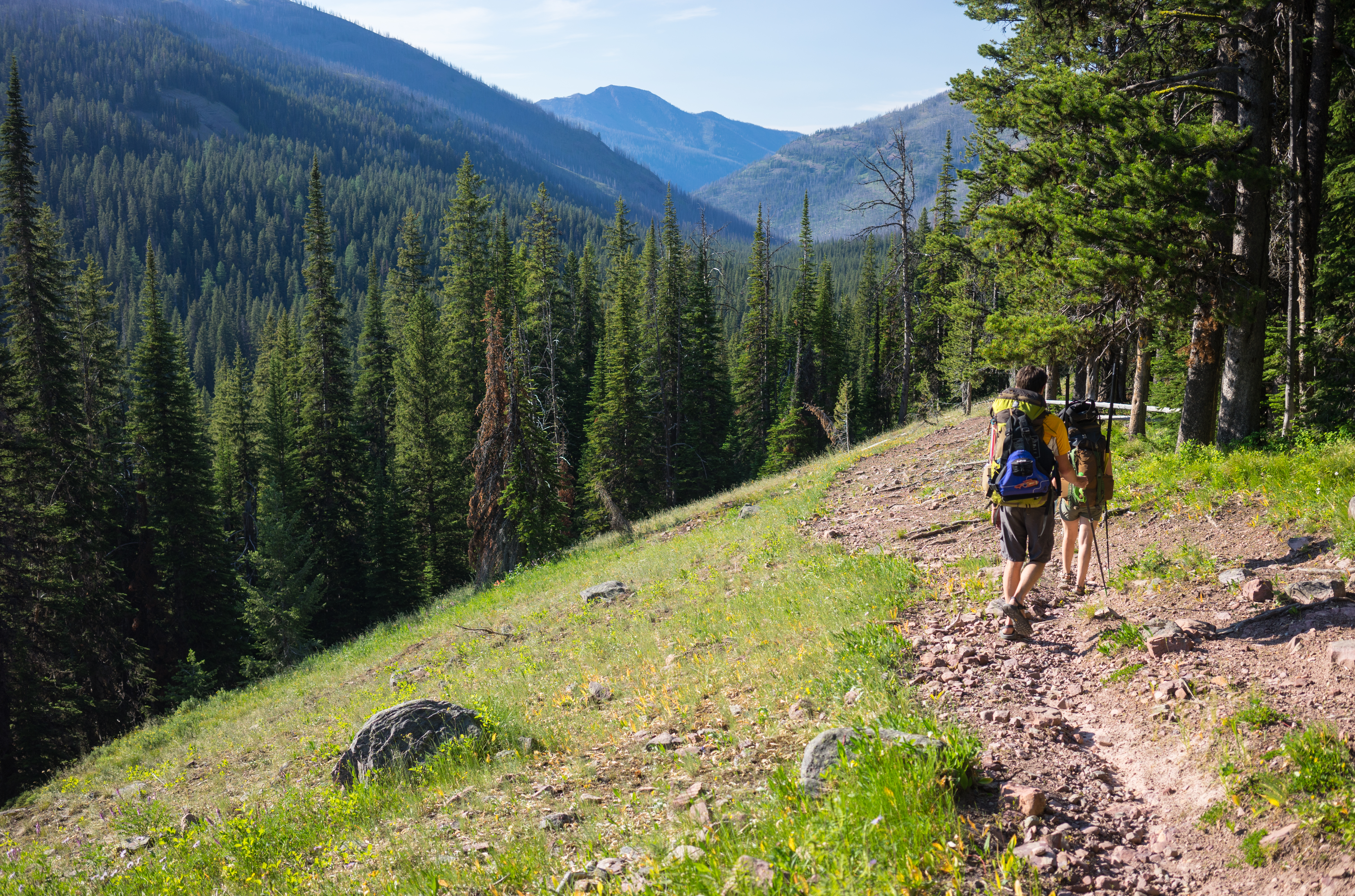
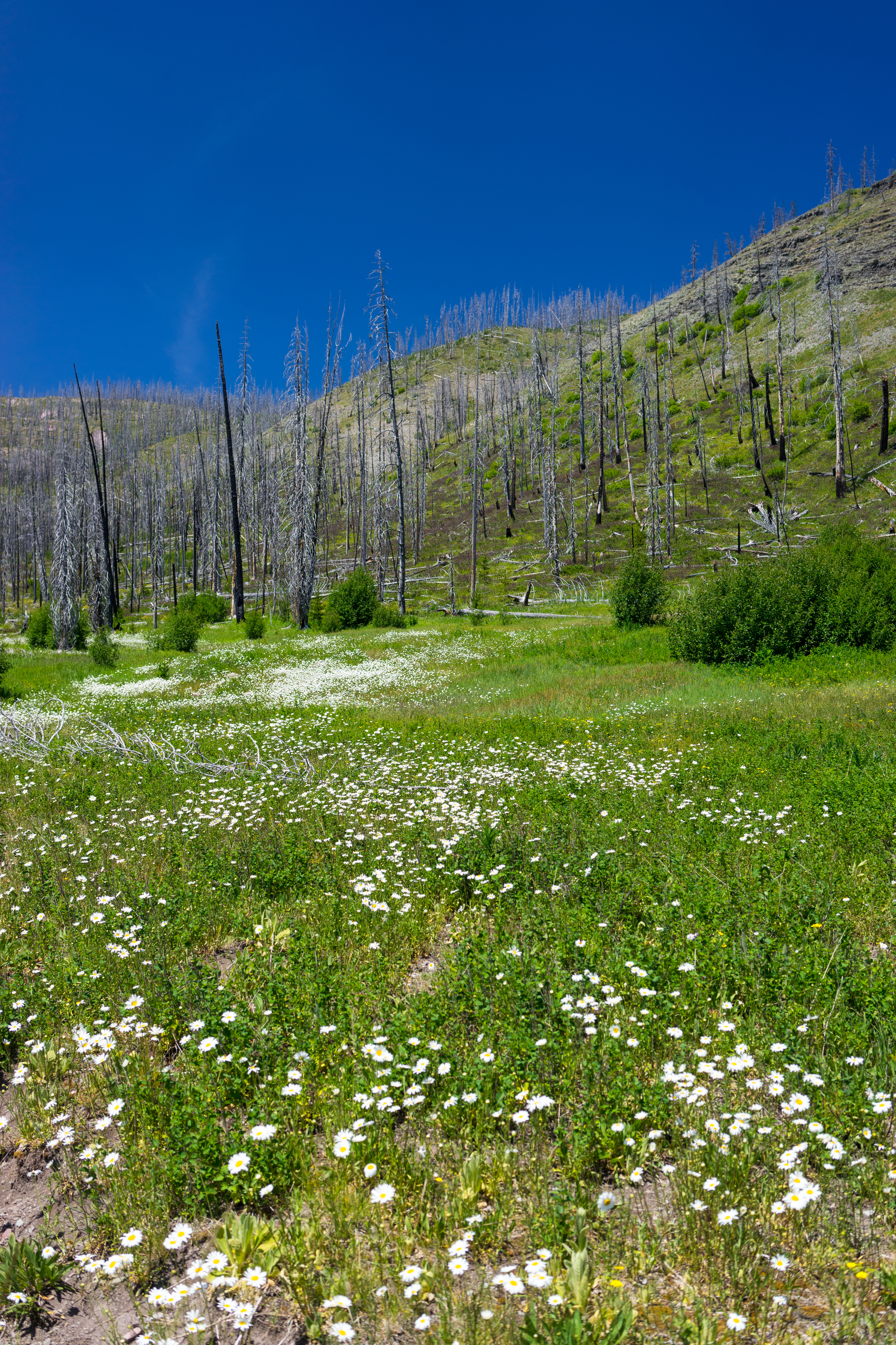
Youngs Creek
Jenny Creek Trail
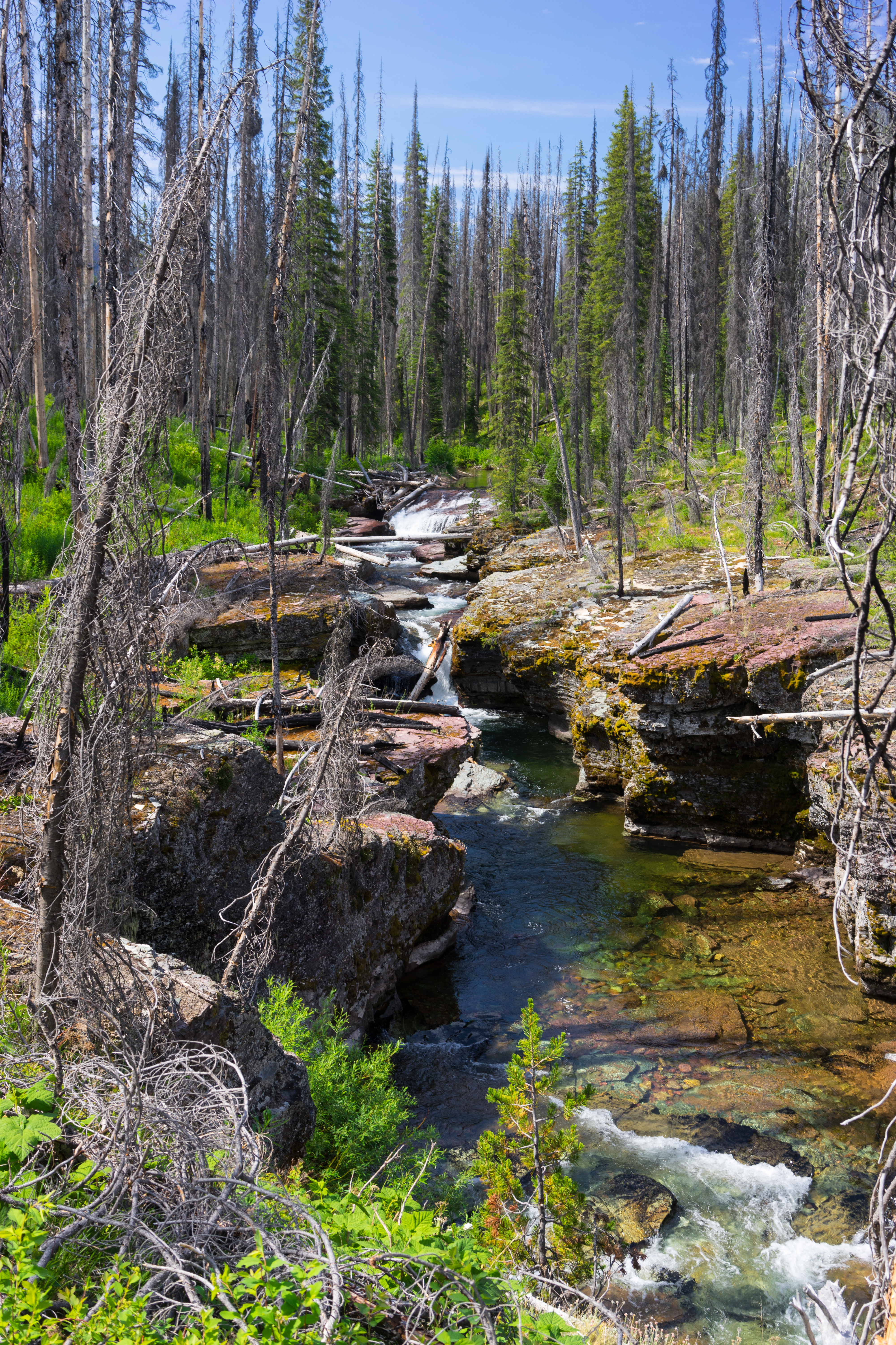
Youngs Creek
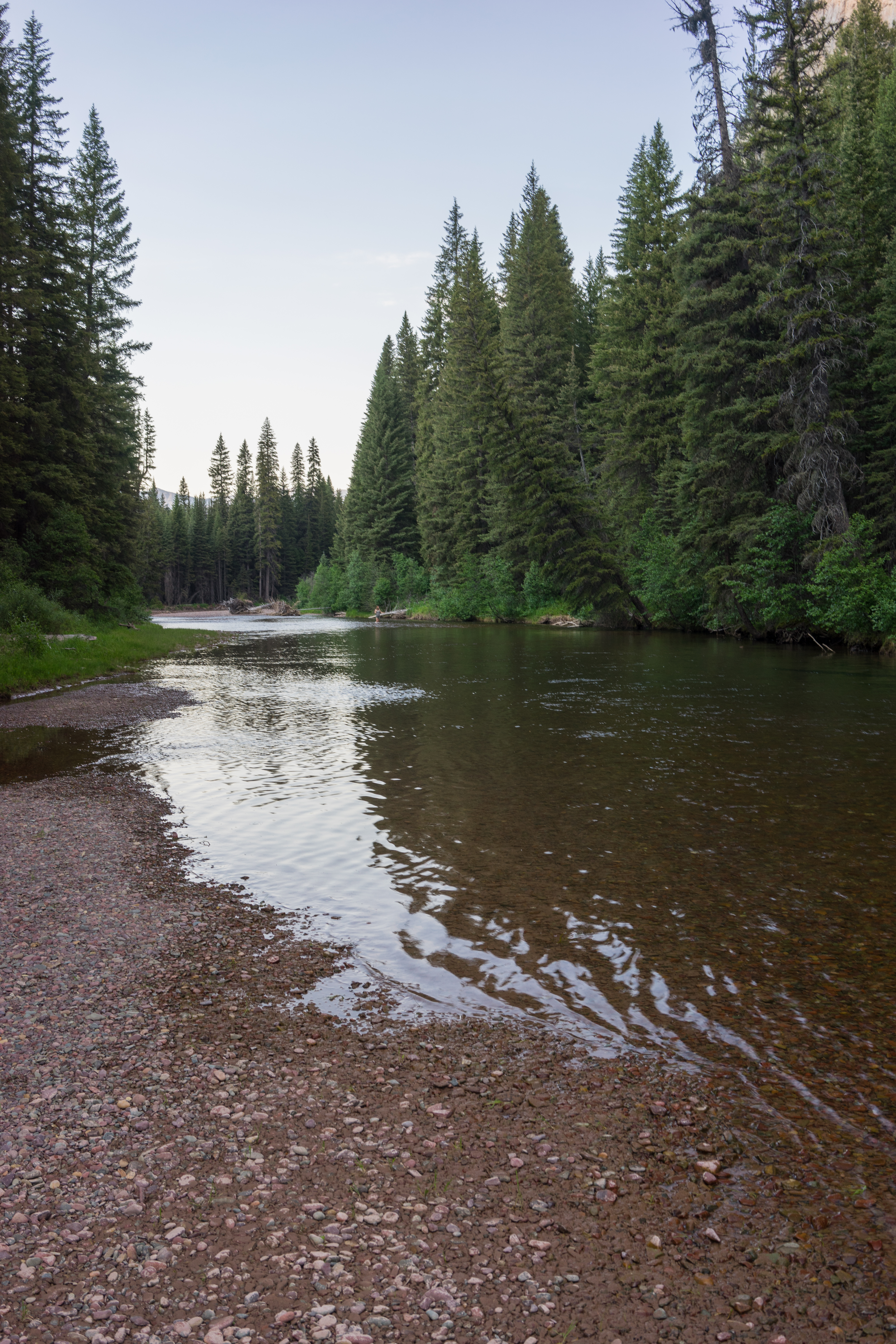
Youngs Creek
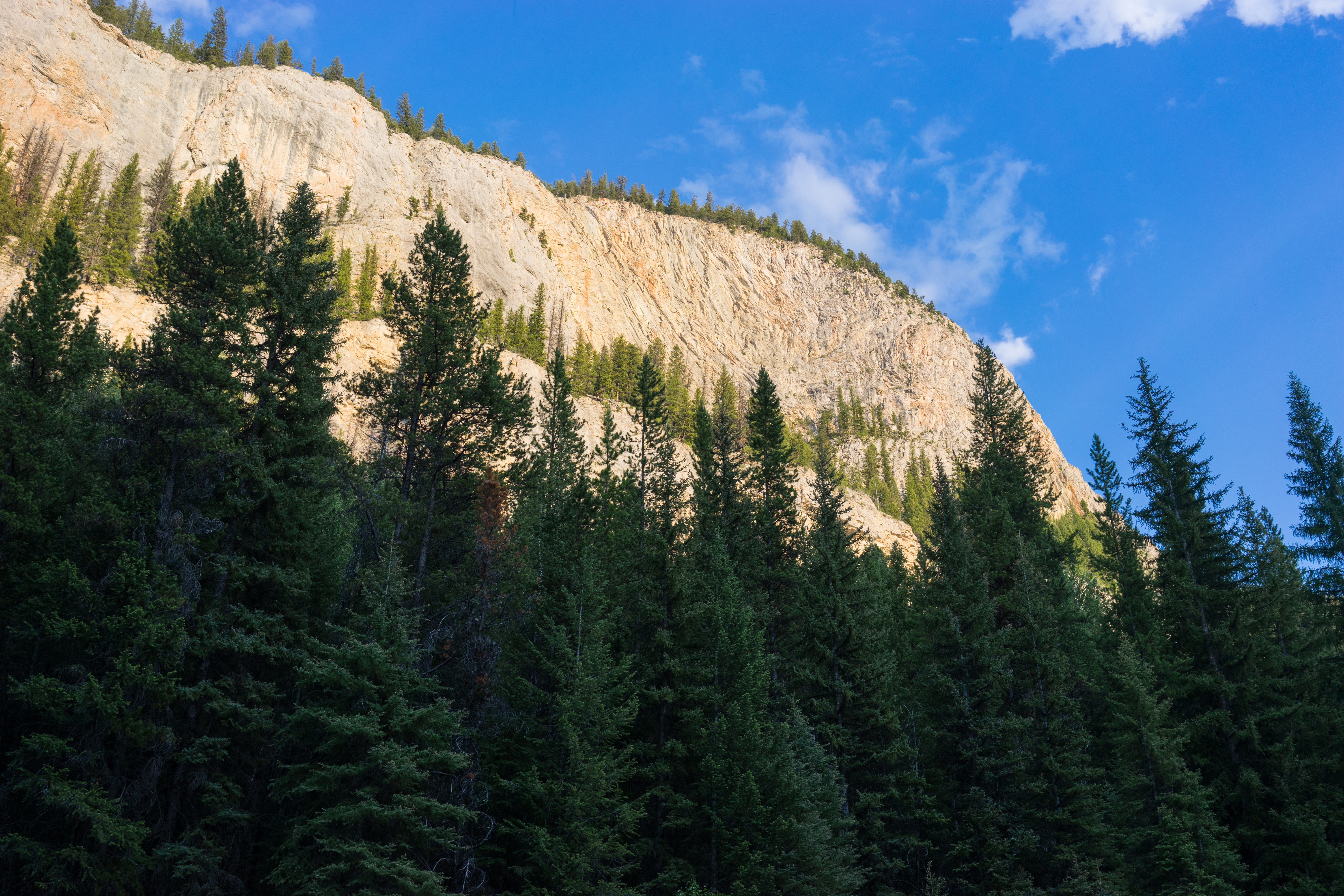
The Big Slide
Lodgepole Creek Trail
Youngs Creek Wall
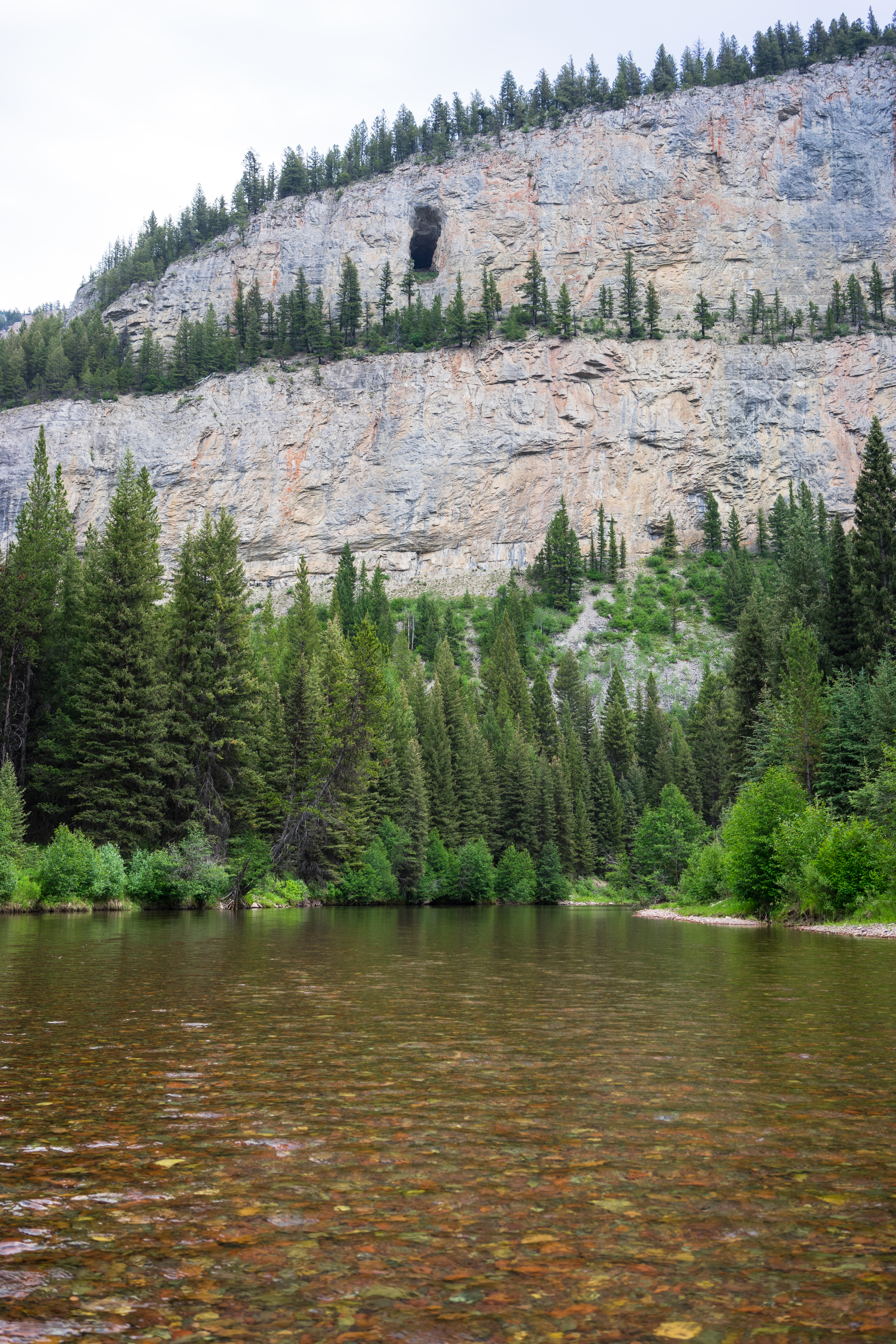
Hole in the Wall Cave

Youngs Creek

Camp 2

Putting in on Youngs Creek
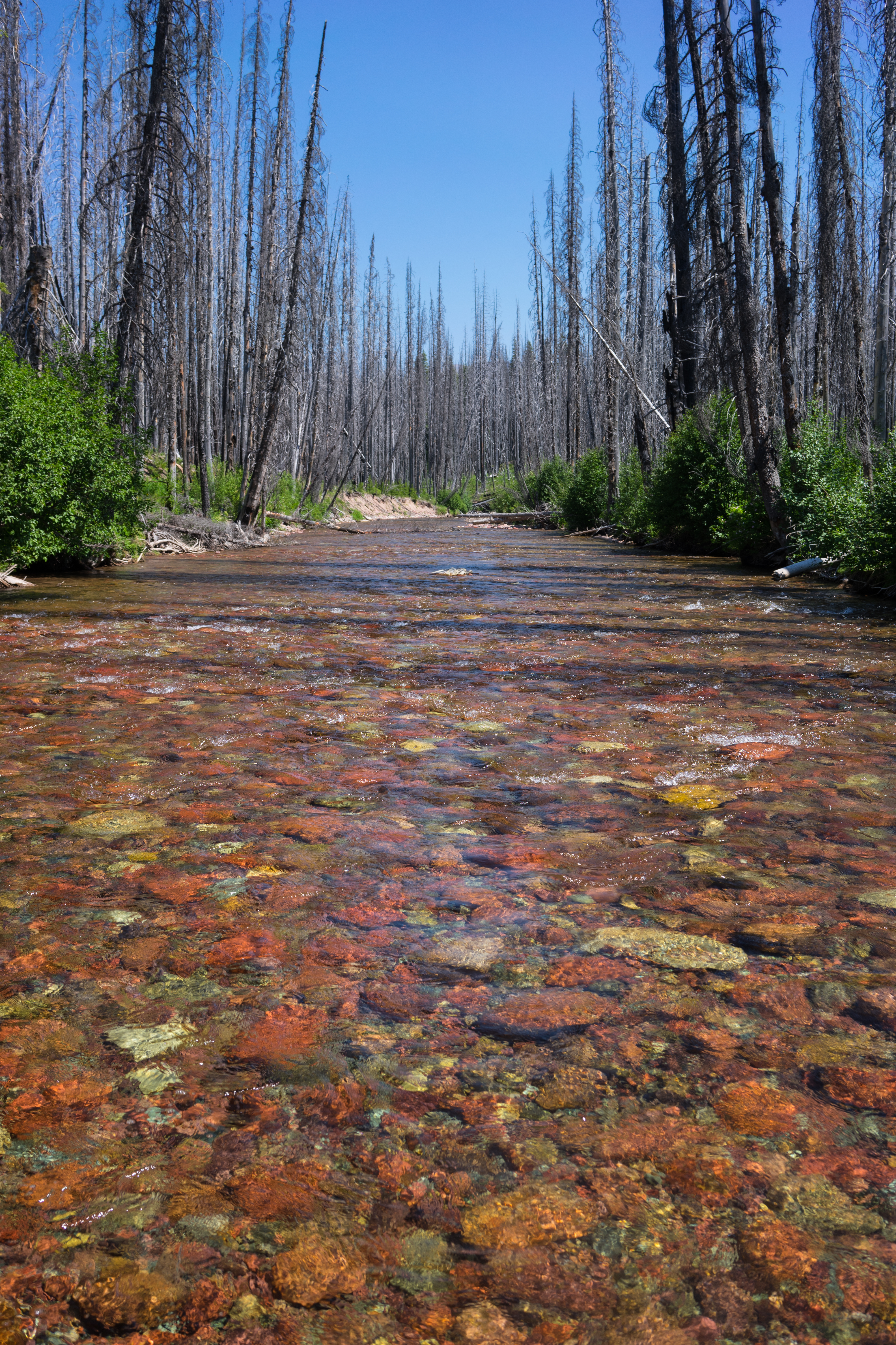
Youngs Creek
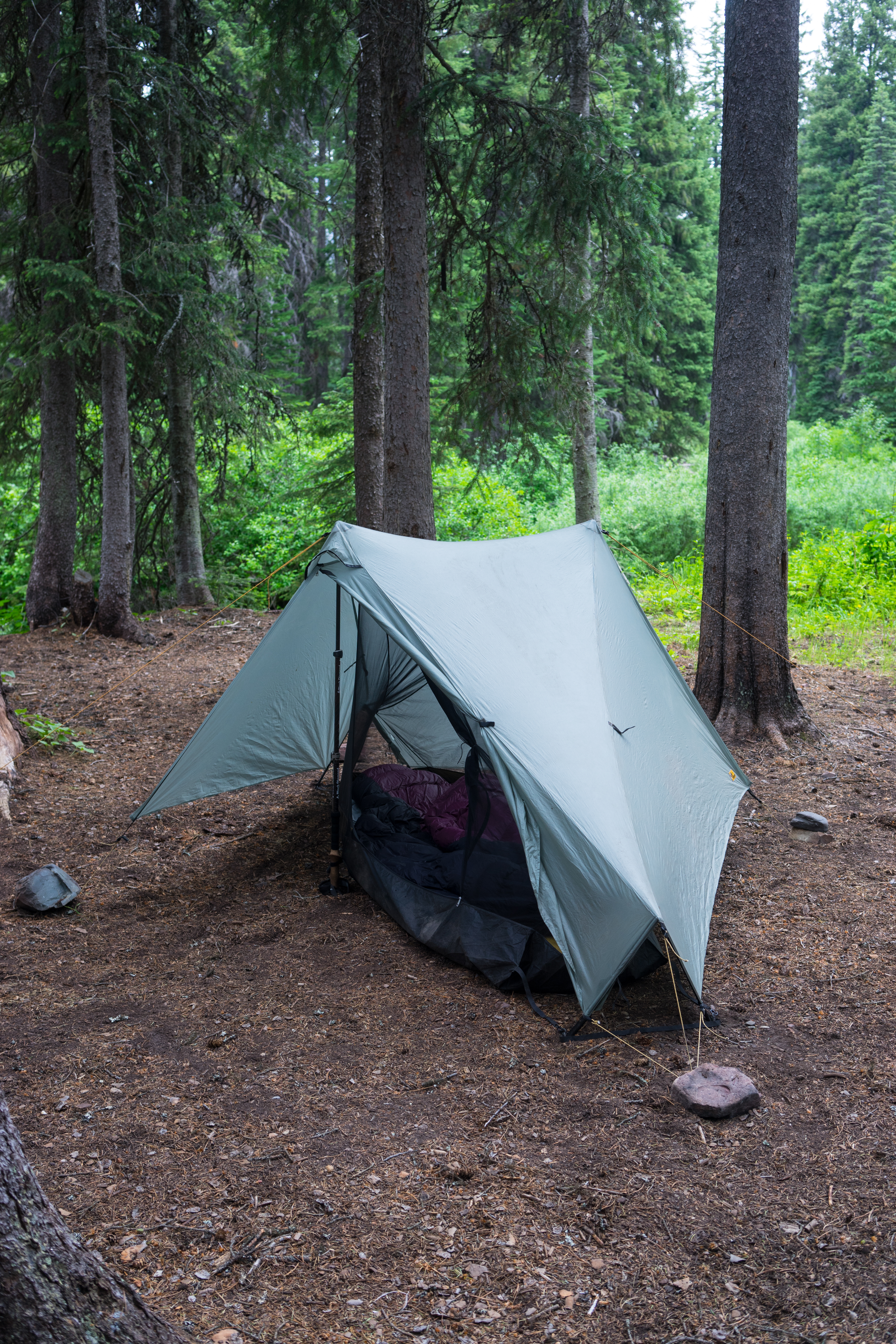
Camp 1
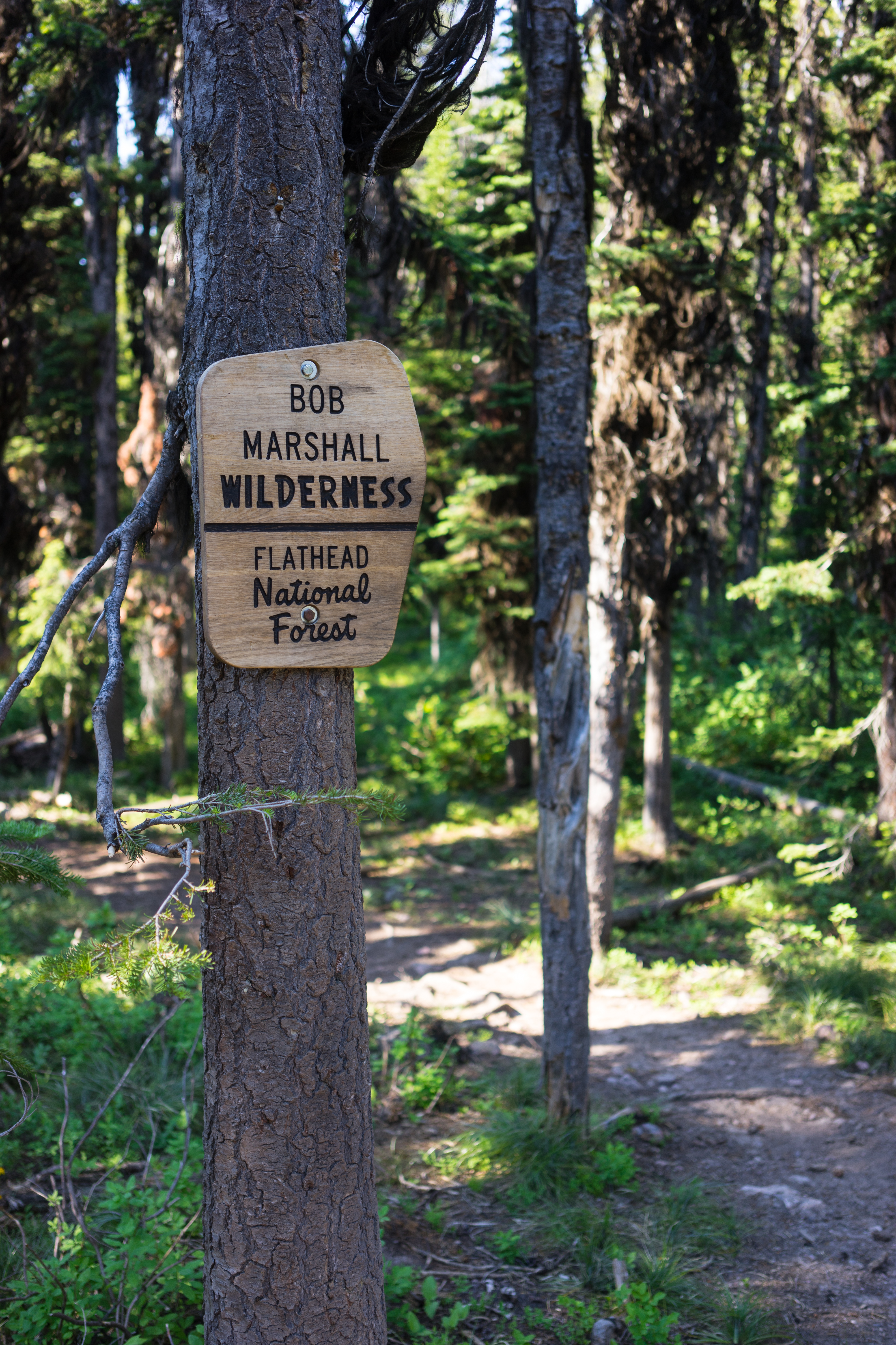
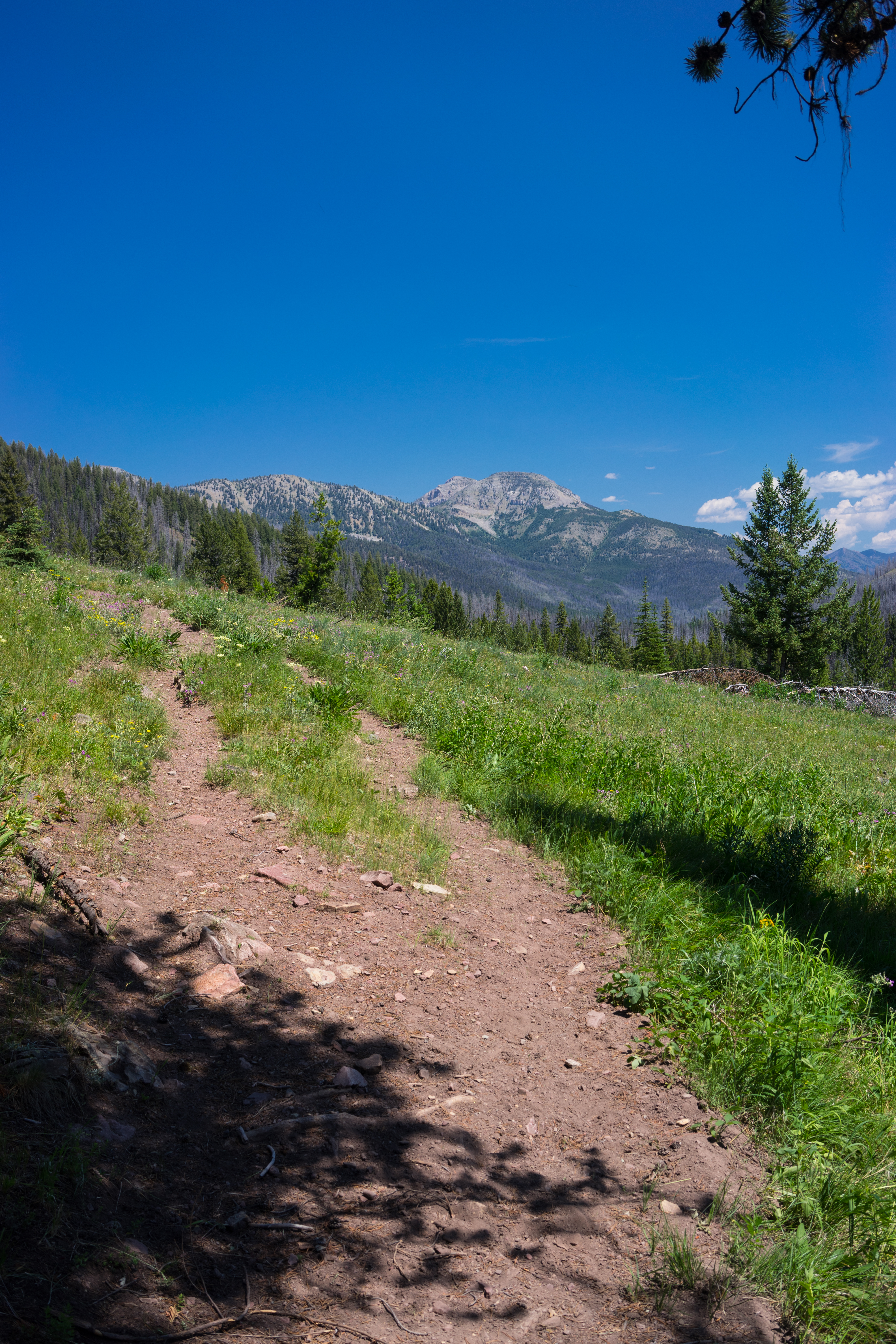
Bob Marshall Wilderness

In Montana.

In the Pines. Montana
Topographic Map of Monahan Mountain, Montana, USA
Find elevation by address:

Places near Monahan Mountain, Montana, USA:
Tour Mountain
Omar Mountain
Danaher Mountain
Alloy Mountain
Dunham Point
Canyon Point
Monture Creek Campground
Monture Mountain
Concord Mountain
Ursus Hill
Mccabe Mountain
Emerson Peak
Ayres Peak
Trident Peaks
Ovando Mountain
Trap Mountain
Leota Peak
Lake Mountain
Morrell Mountain
Scintilla Mountain
Recent Searches:
- Elevation of Corso Fratelli Cairoli, 35, Macerata MC, Italy
- Elevation of Tallevast Rd, Sarasota, FL, USA
- Elevation of 4th St E, Sonoma, CA, USA
- Elevation of Black Hollow Rd, Pennsdale, PA, USA
- Elevation of Oakland Ave, Williamsport, PA, USA
- Elevation of Pedrógão Grande, Portugal
- Elevation of Klee Dr, Martinsburg, WV, USA
- Elevation of Via Roma, Pieranica CR, Italy
- Elevation of Tavkvetili Mountain, Georgia
- Elevation of Hartfords Bluff Cir, Mt Pleasant, SC, USA